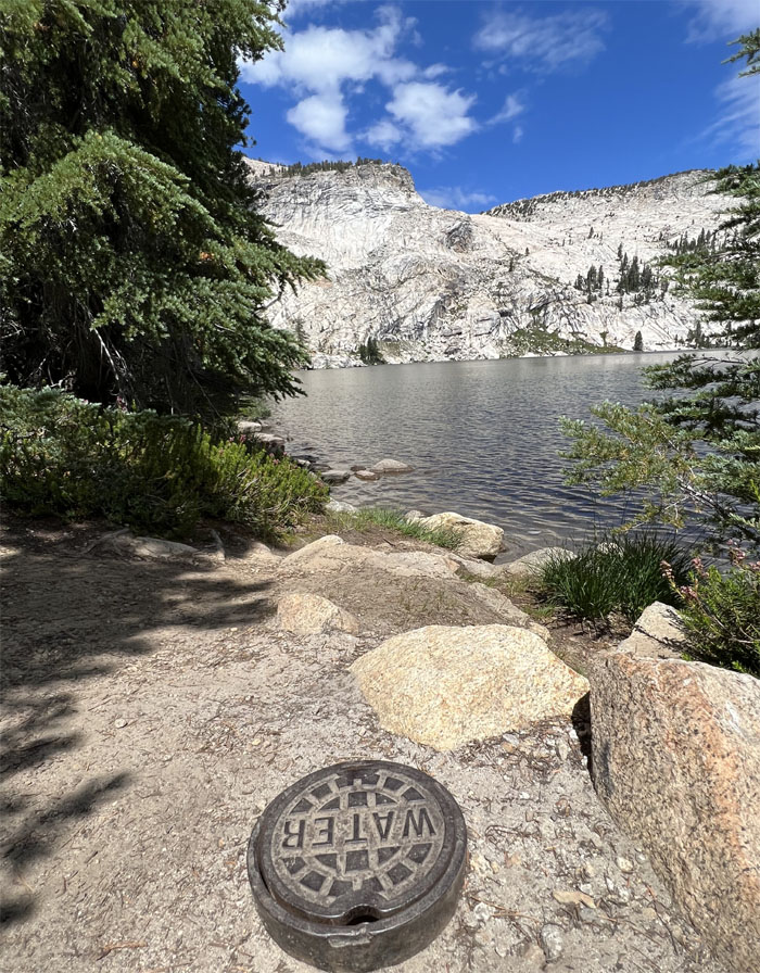
We decided to visit another lake and hoped it actually filled the definition. Literally.
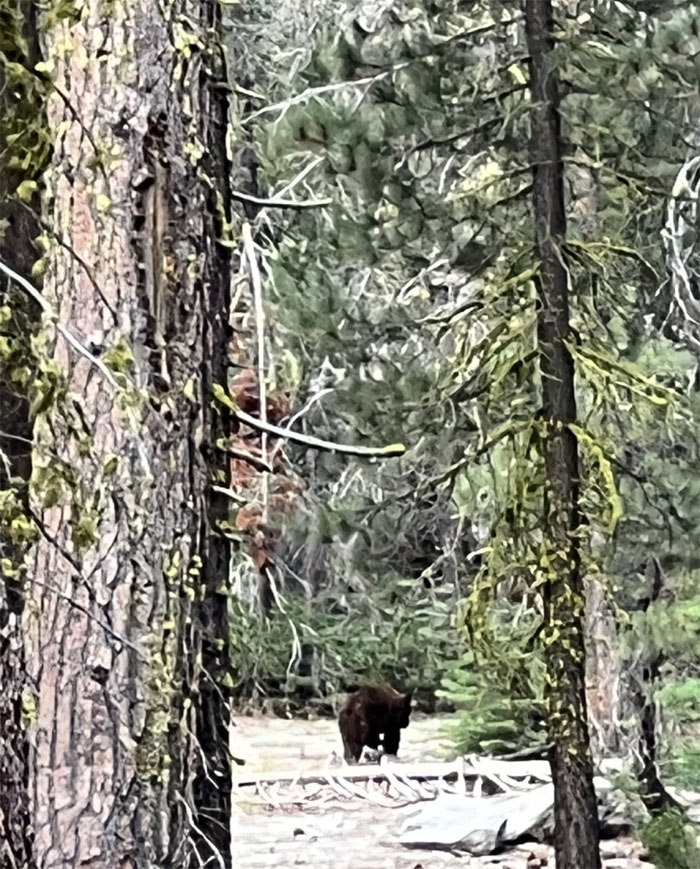
Driving into the park, we pulled over to join the herd of rubberneckers that were looking into the woods. Monkey see, monkey do. Or is that bear see, bear do?
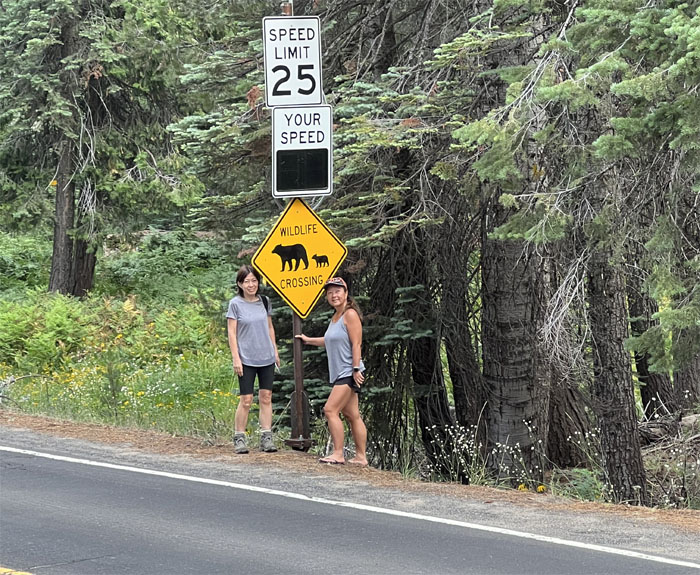
A better representation of what we saw in the forest.
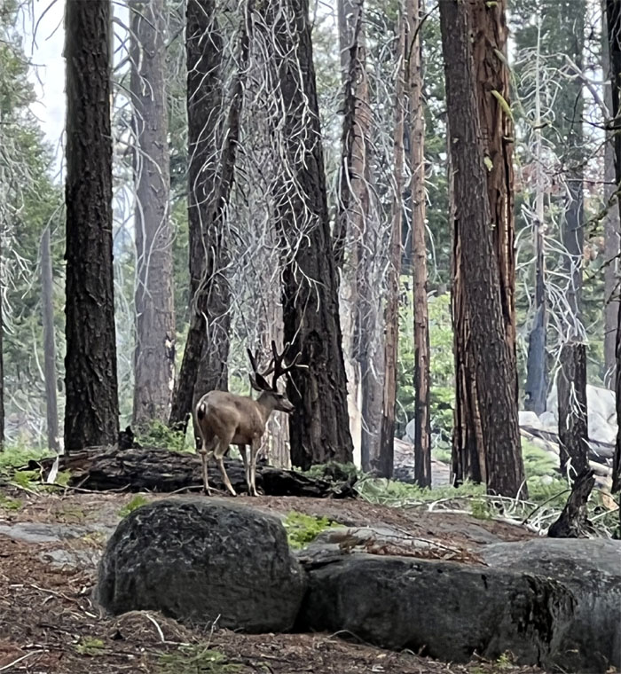
Four point buck sighted?
We turned off Tioga Road and snagged the last parking stall in the lot. Lake preview.
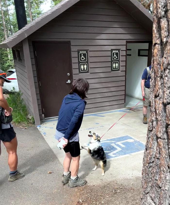
You want to use the bathroom too? I don’t see one for dogs. Guess you’re in the doghouse.
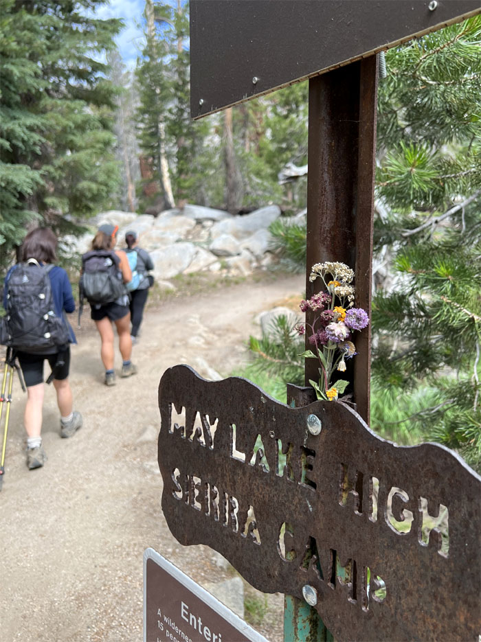
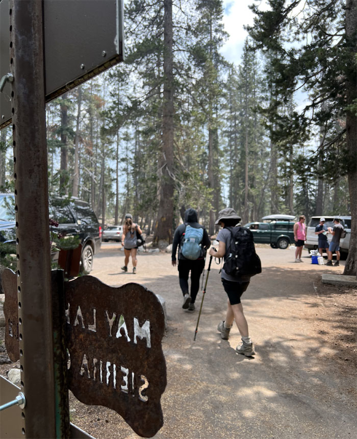
Stepping foot on one of the most popular and picturesque trails in the park.
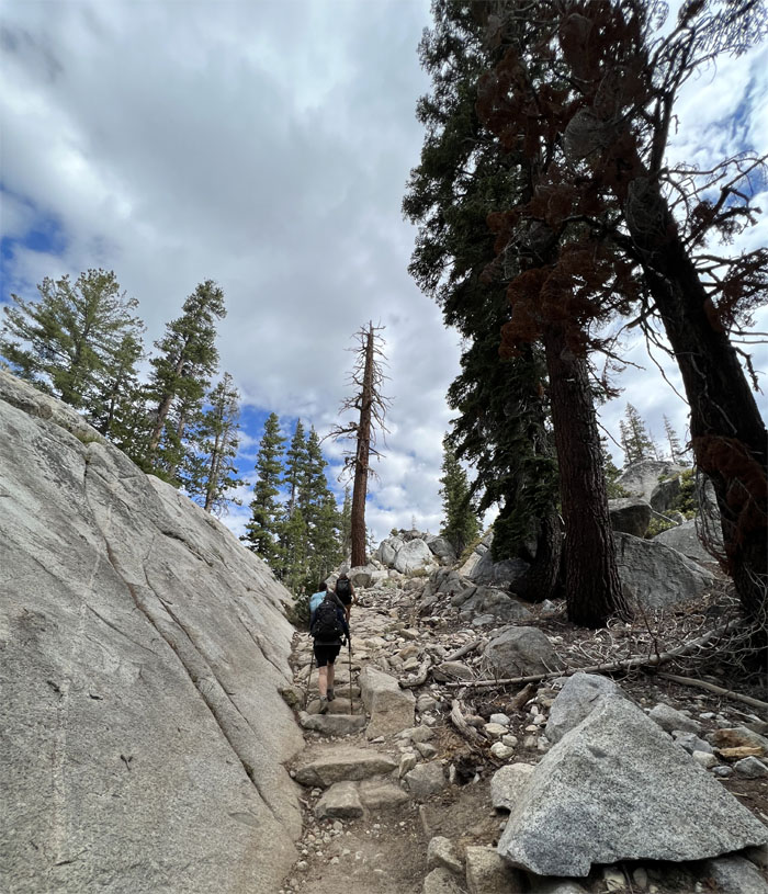
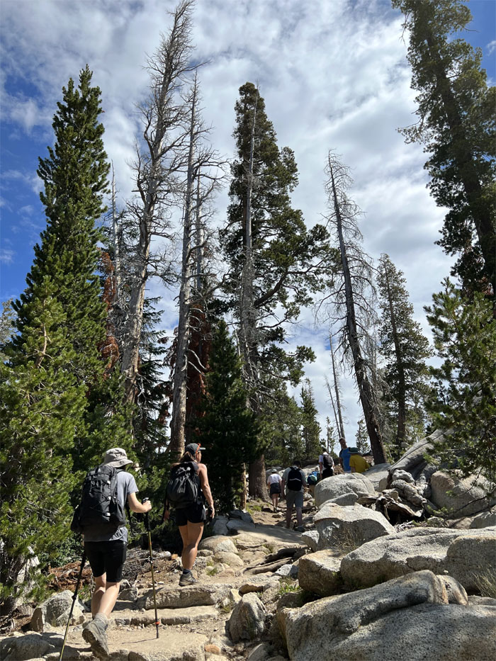
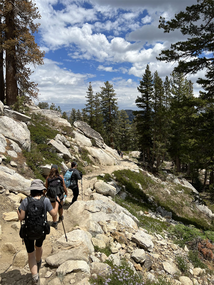
Heading up the trail that goes through a conifer forest and across granite steps and slabs.
Free tour guide. Just have to maintain earshot distance.
We gained about 500′ elevation over roughly a mile. Short, steep and sweet.
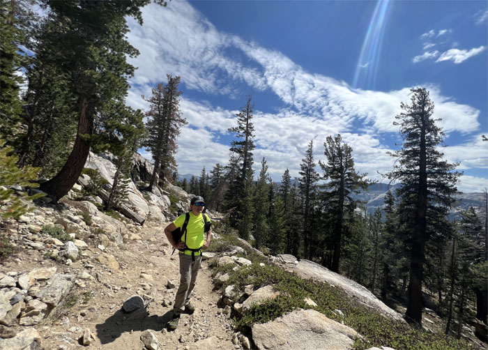
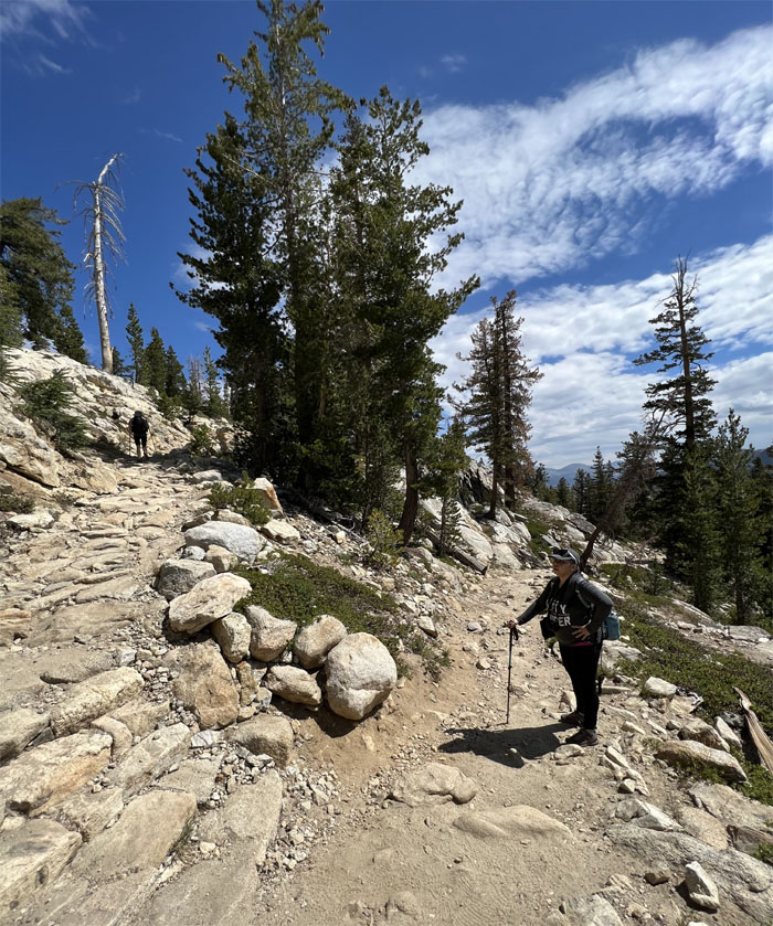
Going up the switchbacks while Jasmin kept an eye out for colored rocks to add to her collection.
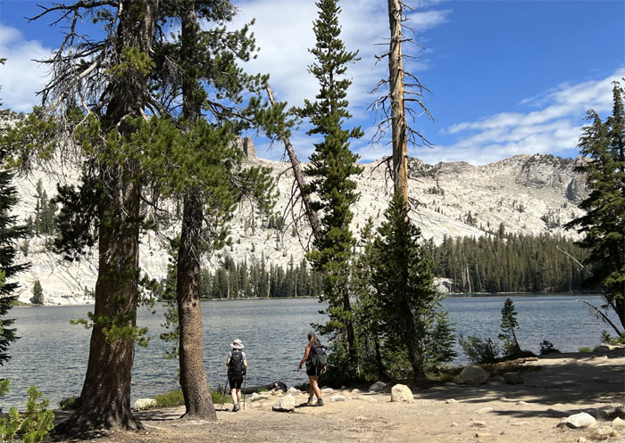
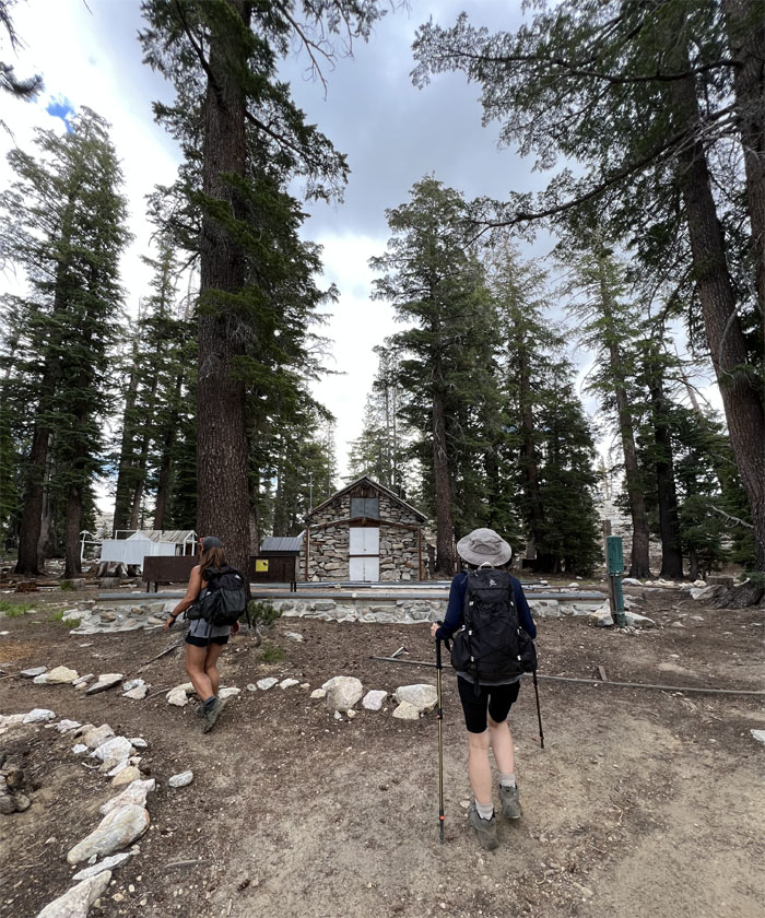
We passed the out of service bathrooms and arrived at the alpine lake that sits at 9,270′ elevation.
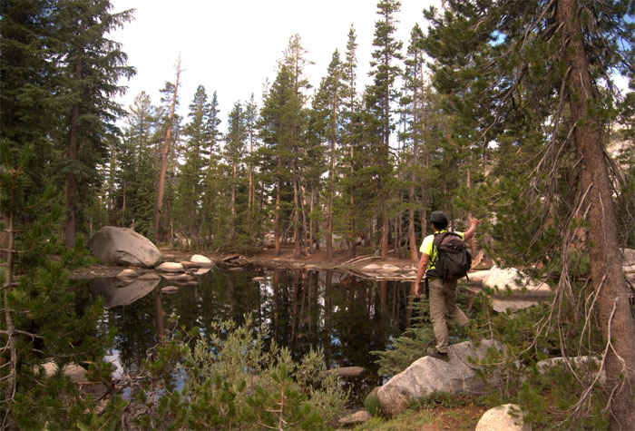
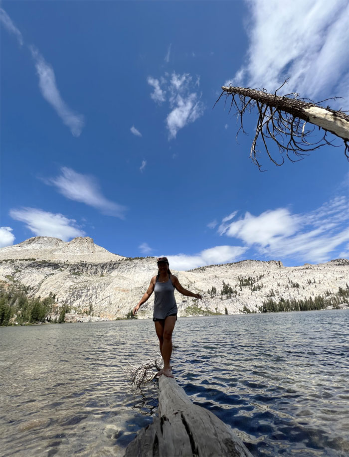
Quan walking a fine line between being dry and cold and wet.
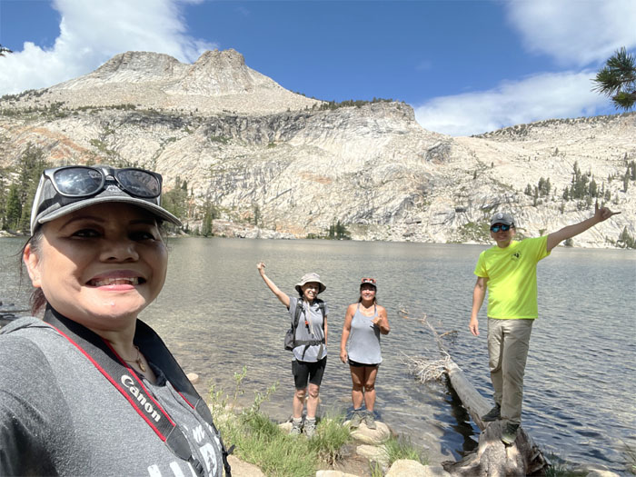
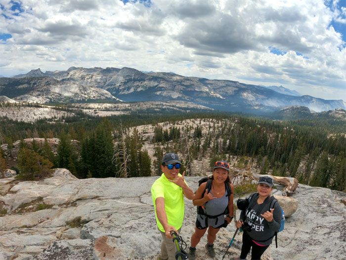
Group photo with Mount Hoffman in the distance, that is 10,845′ in elevation. The lake was named after Lucy Mayotta Browne by Charles Hoffman, a member of the 1863-67 Whitney Geological Survey.
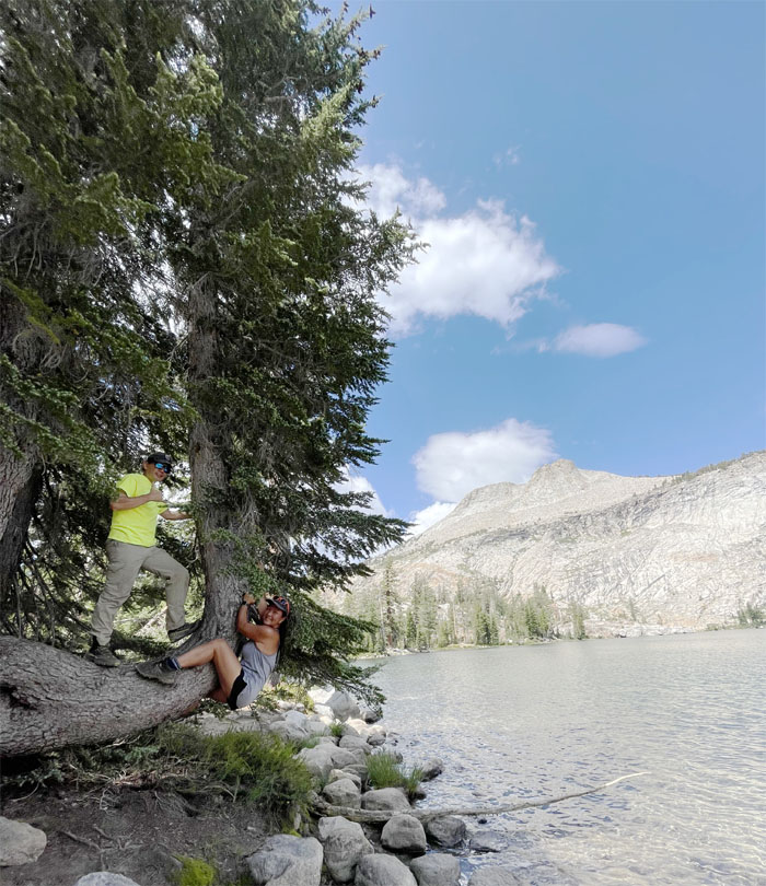
Tree hugger. This is California after all.
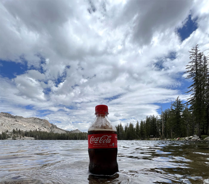
Defrosting my drink.
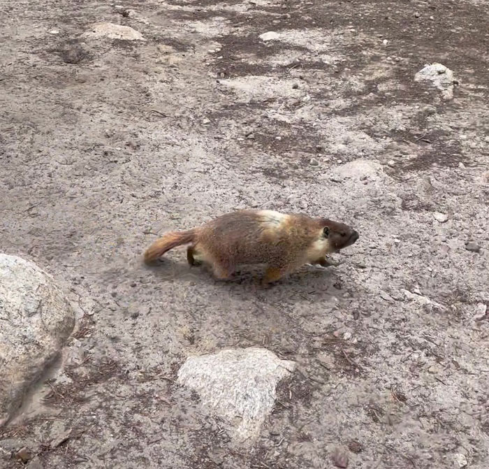
Spotting a marmot or large ground squirrel near some campers above the lake.
Hiking to the campground and the ridge beyond it for a view of the southern end of Yosemite.
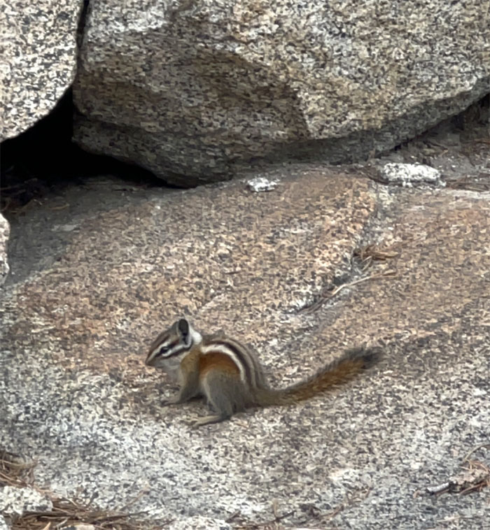
A golden-mantled ground squirrel out foraging for food or just getting some sun.
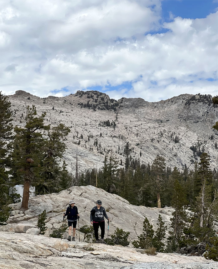
Hiking down to the lower granite shelf.
Group photo with the background of Cathedral Range.
Going back down the trail.
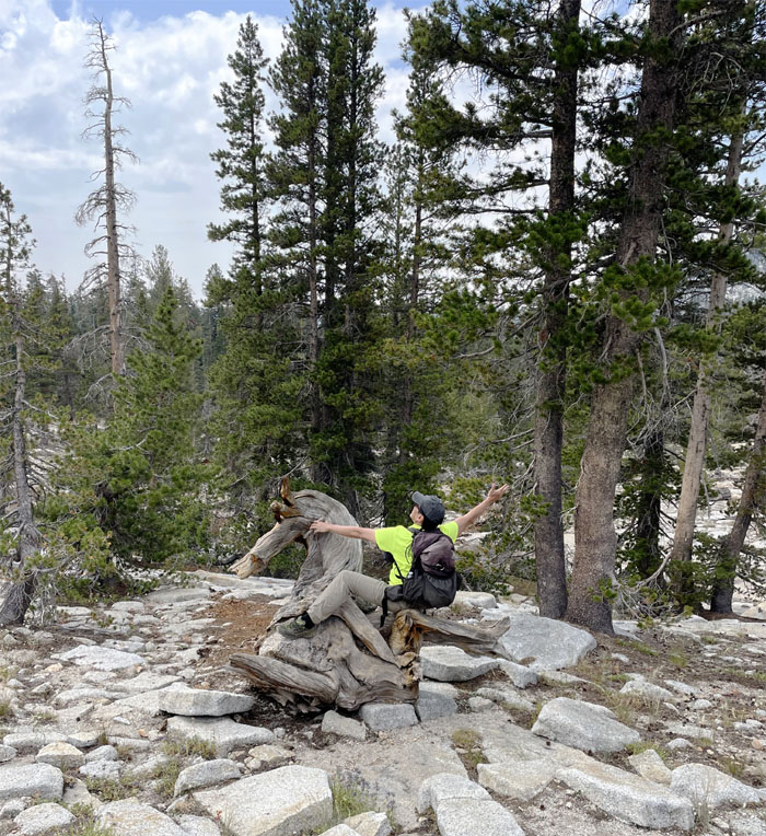
Riding a wooden mustang.
Back at the parking lot. People were waiting.
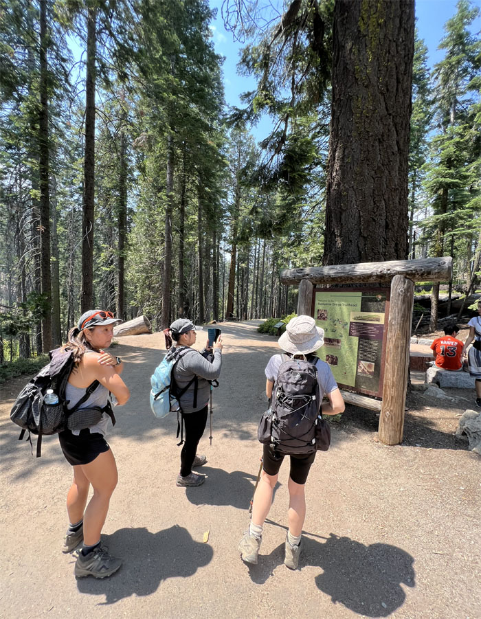
We jumped back on Tioga Road and drove to the parking lot for Tuolumne Grove. Going down the trail which is actually called the Old Big Oak Flat Road which was one of the earliest trails into Yosemite Valley. We lost close to 500′ in elevation going down the trail. What goes down, must come back up.
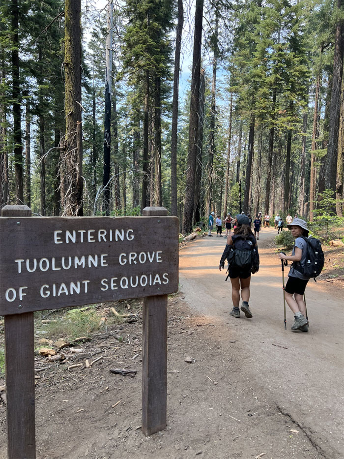
Entering one of three giant sequoia tree groves in the park where over two dozen mature specimens still stand. Back in the 1860’s, lumber companies cut down over half of these giant trees for construction purposes. Ironically, it was found that the wood was too brittle for its intended use and instead was used for fencing. In other words, they were cut down for nothing.
Many of these giant trees were once given names such as Corridor Tree and Telescope Tree after their distinctive characteristics. They were eventually taken down to discourage souvenir scavenging.
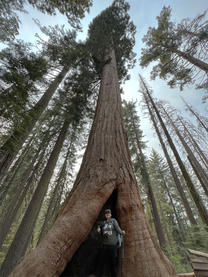
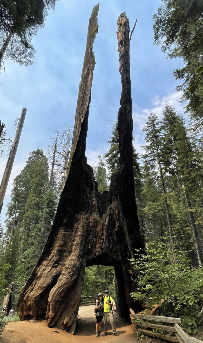
Quan standing in front of a large snag or dead standing tree that was first “discovered” by a exploratory party in 1858 that originally named it “King Solomon’s Temple.”
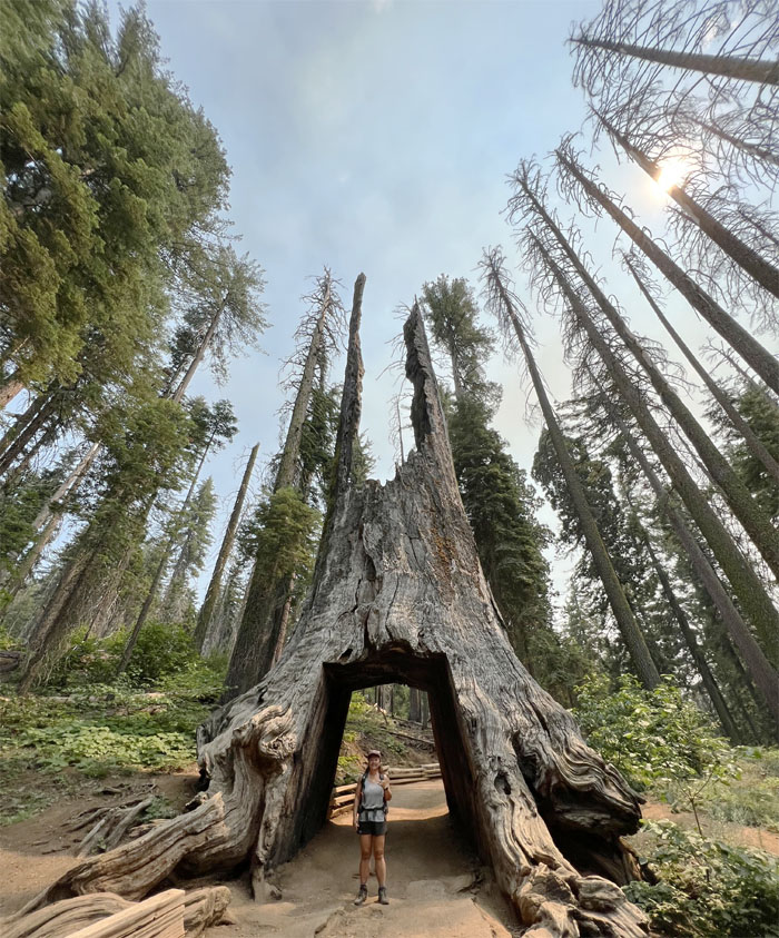
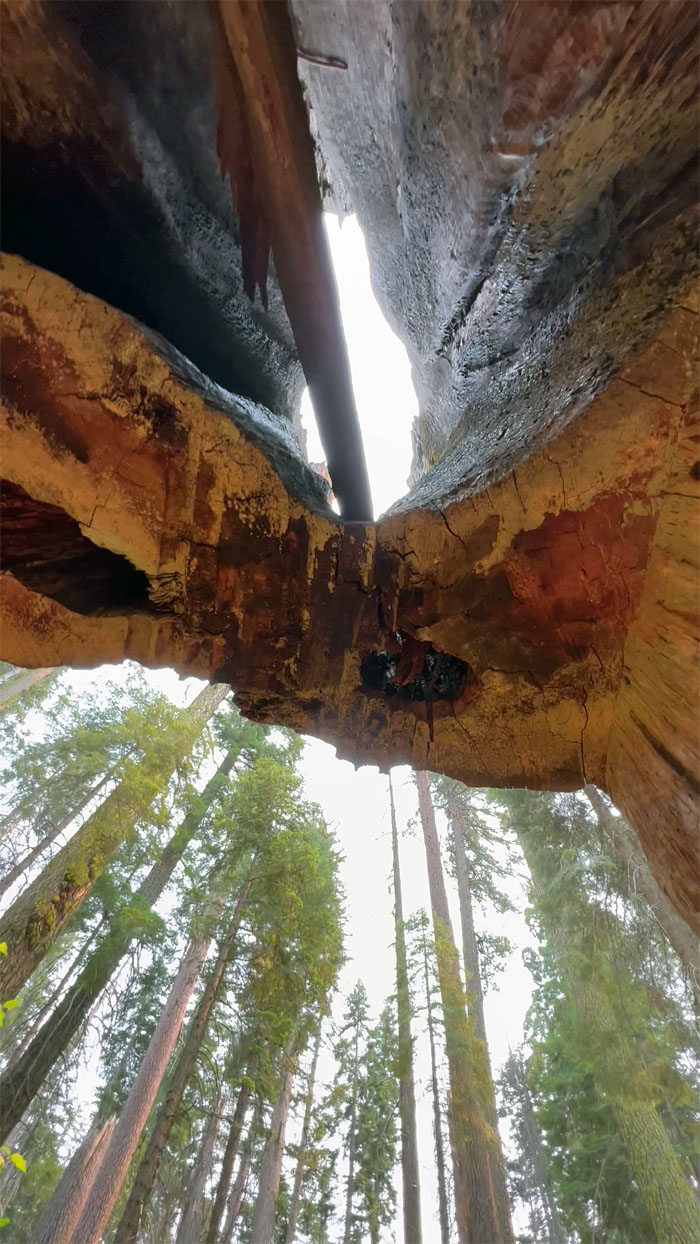
Walking through the tunnel that was cut out of the tree whose diameter measures 29 1/2′, in 1871 to attract tourists to the grove. They succeeded.
Standing on the other side of the tree that is now known as the “Dead Giant.”
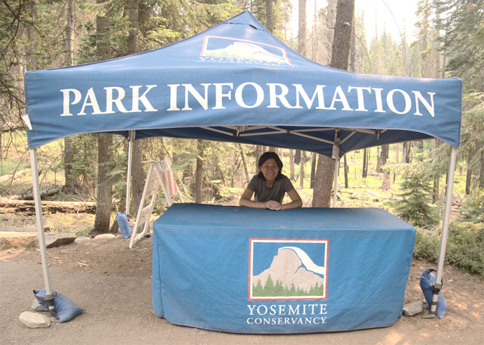
May I help you?
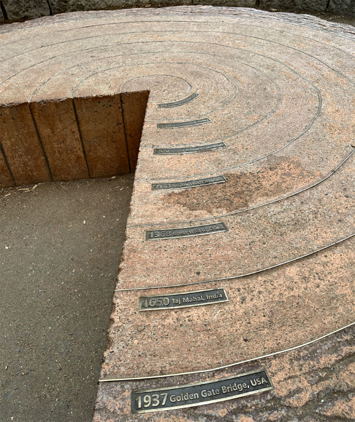
Looking at the cutaway of a giant sequoia tree and the tagged tree rings that showed it was as old as the Roman Colosseum, close to 2,000 years old. Some of these trees are over 3,000 years old. Post hike meal at Round Table Pizza as we didn’t want to have to cook our own pizza to save a few bucks. We also got word that we secured the permits for the Cable Half Dome hike. Looks like we know what we are doing tomorrow. Mahalo to Jasmin for baking brownies for my sugar fix for tomorrow’s hike.
Photos taken by Jasmin Nepomuceno, Mari Saito, Quan Haberstroh and yours truly. Not necessarily in order.
Note: I have been made aware that some hikers have been using my blog as a hiking guide and getting lost on the trails. Please note that this blog was made to document the hike for the crew(s) that did it. That is why some of my comments will seem to have no relevance or meaning to anybody outside of the crew(s) that hiked that trail. My blog was never meant as a hiking guide, so please do not treat it as such. If you find inspiration and entertainment from these hikes, that is more than enough. If you plan on replicating these hikes, do so in the knowledge that you should do your own research accordingly as trail conditions, access, legalities and so forth are constantly in flux. What was current today is most likely yesterdays news. Please be prepared to accept any risks and responsibilities on your own as you should know your own limitations, experience and abilities before you even set foot on a trail, as even the “simplest” or “easiest” of trails can present potential pitfalls for even the most “experienced” hikers. One should also always let somebody know of your hiking plans in case something doesn’t go as planned, better safe than sorry.

{ 0 comments… add one now }