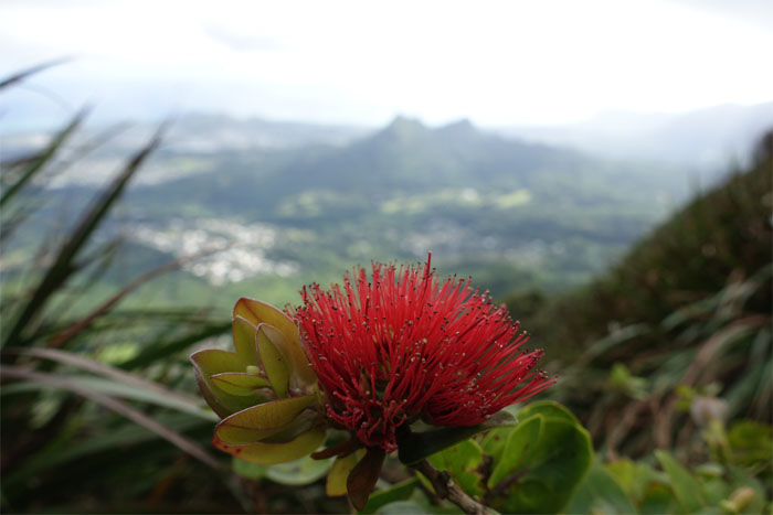
Met up with Chris, Derek, Ethan, Khym and Krissy to finish Chris’s last segment hike of the Ko’olau Summit Trail (KST).
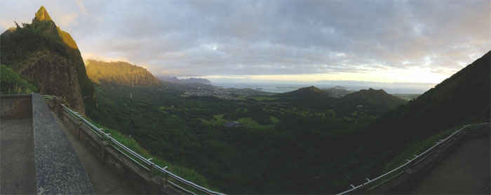
Some of us caught the breezy, breaking sun over the Pali. Others waited in the valley. Photo by Ethan Clavecillas
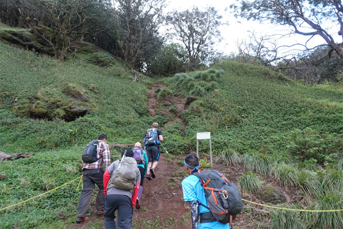
Going up the surprisingly dry pock marked trail.
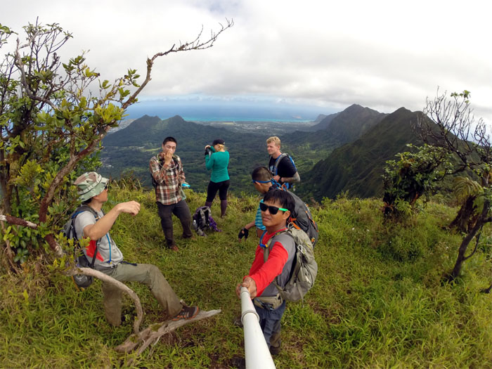
Just a couple minutes later, we were treated to outstanding Windward views. The winds were surprisingly light.
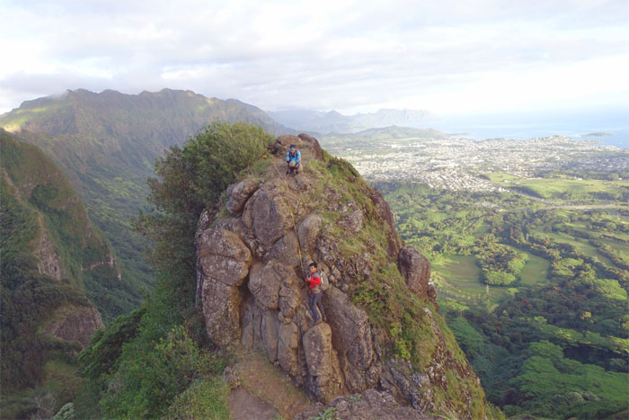
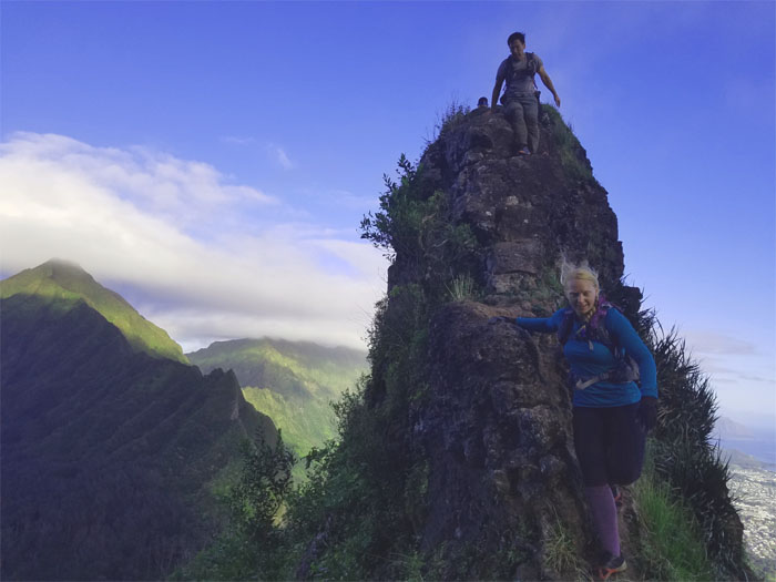
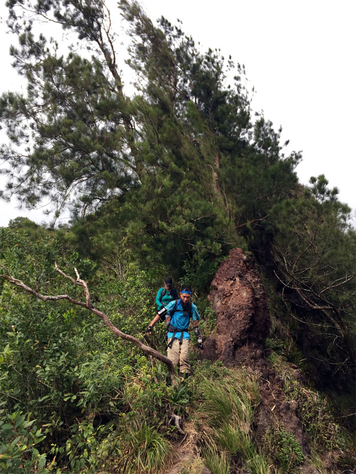
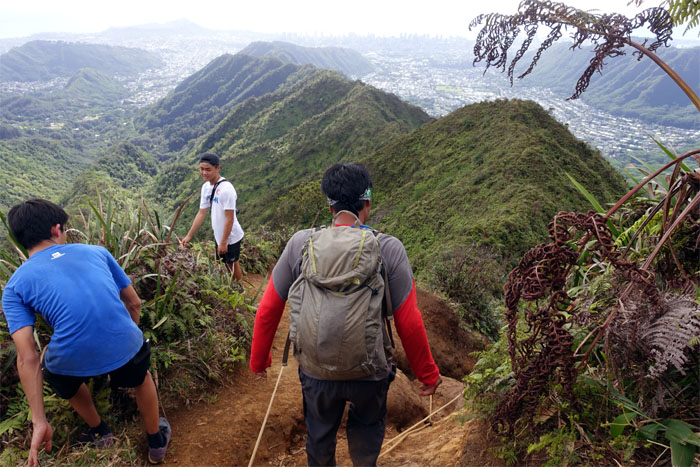
Chris and Khym climbing down the first notch.
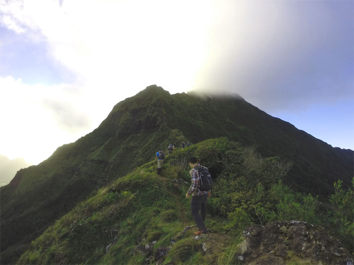
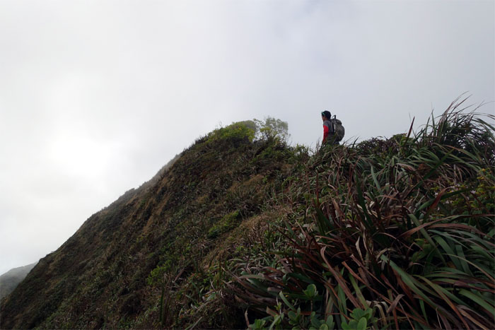
Making our way up the mountain. Photo by Chris B.
Khym making his way down the second notch. Photo by Ethan Clavecillas.
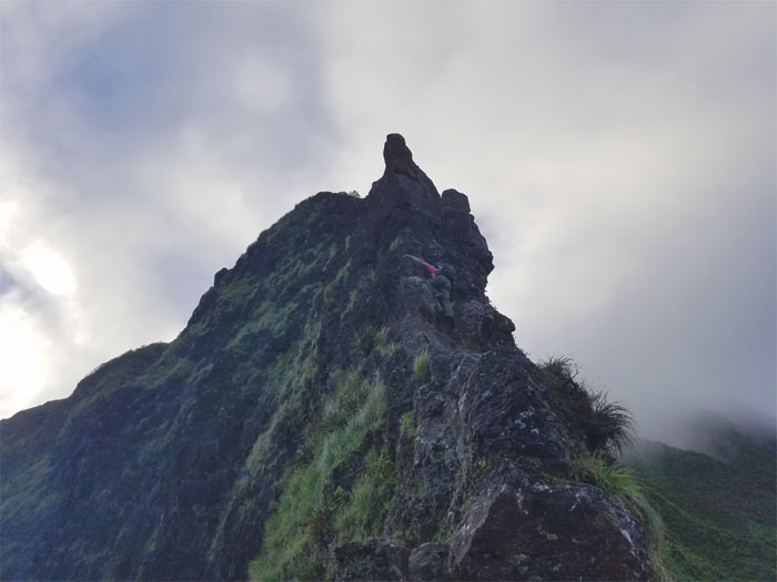
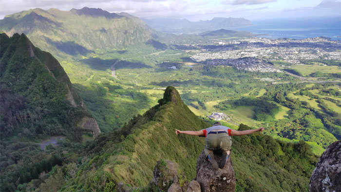
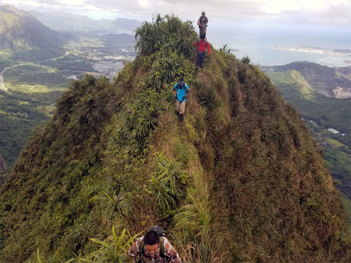
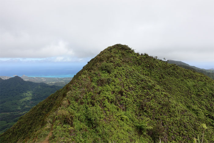
Dropping down from the nipple. Photo by Derek Potter.
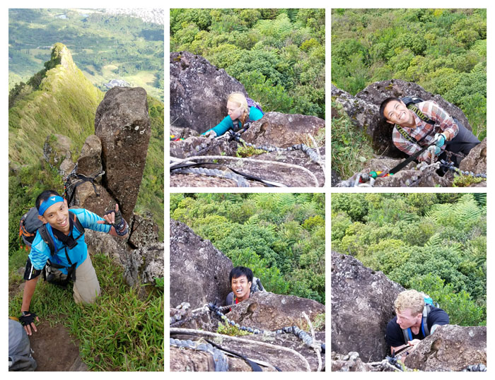
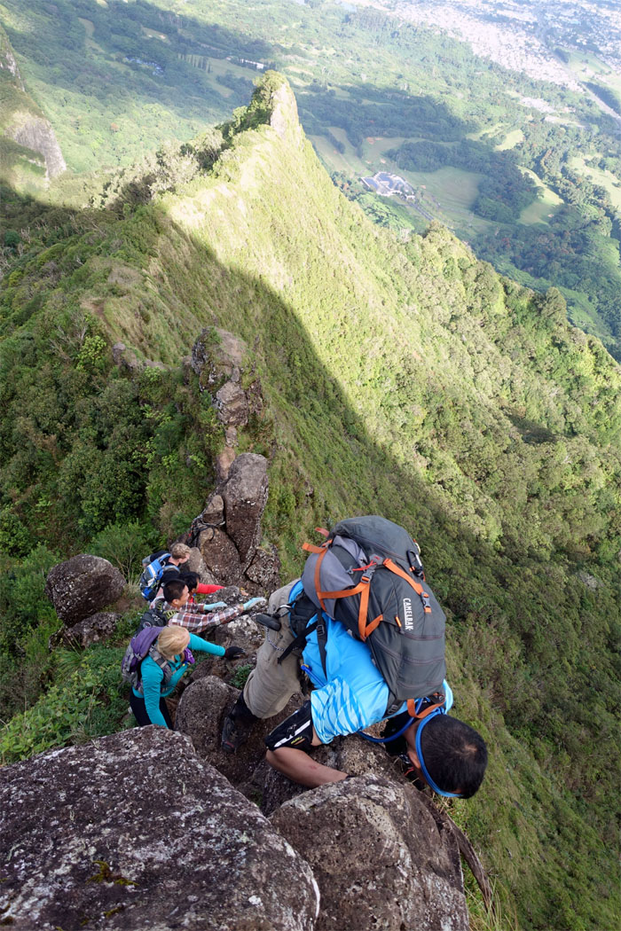
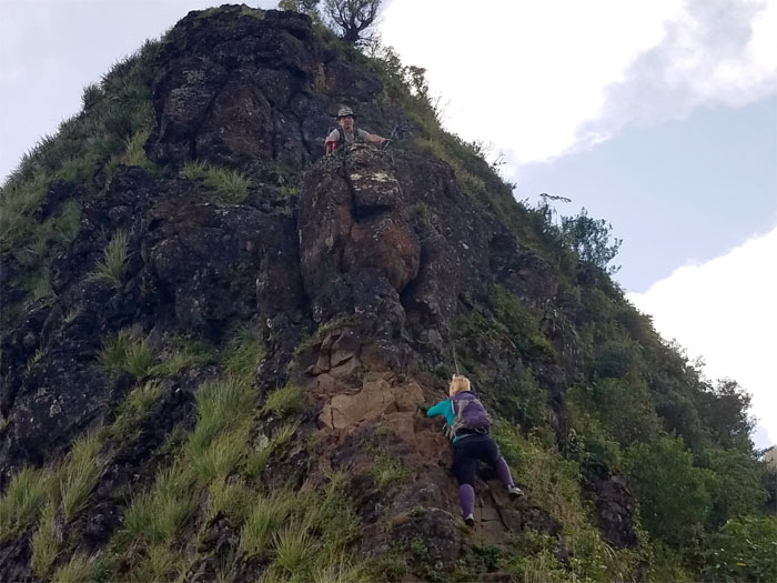
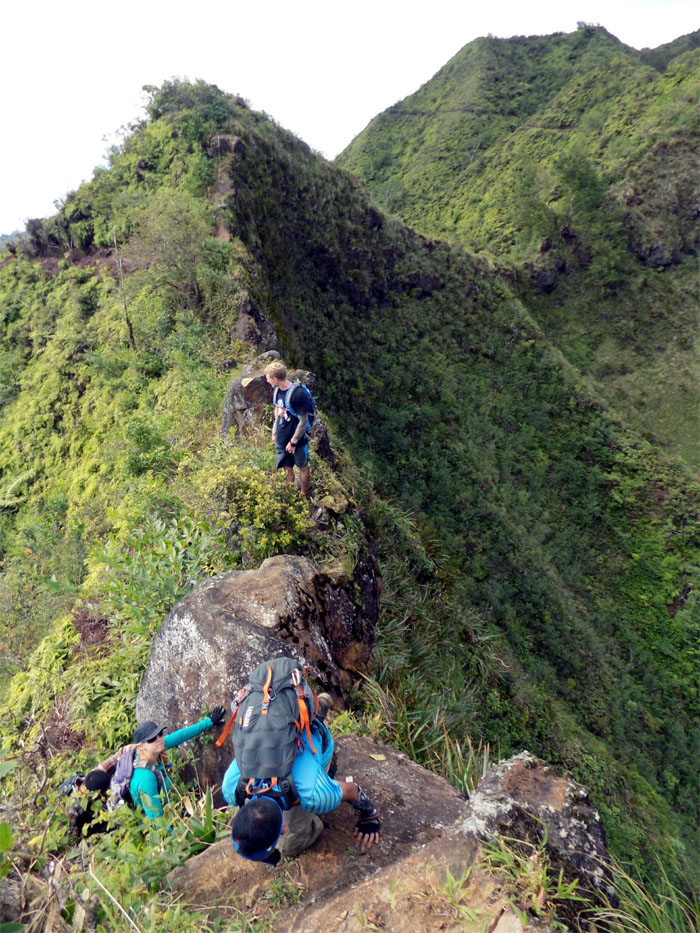
Climbing up the chimney. Photo by Derek Potter.
The many happy faces of the chimney.
Group photo by Khym Ansagay.
I think my pants have seen better days.
Time to resume our climbing.
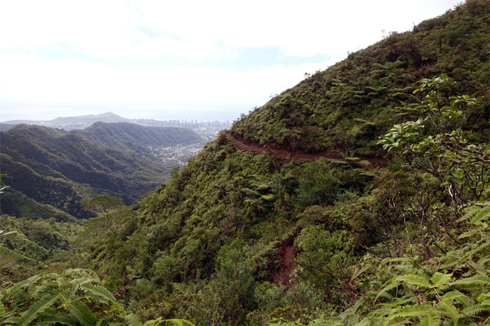
Krissy making her way around the contour. Photo by Derek Potter.
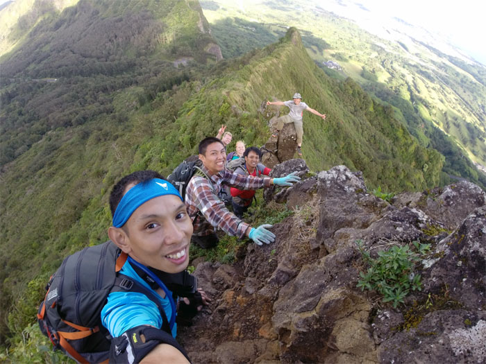
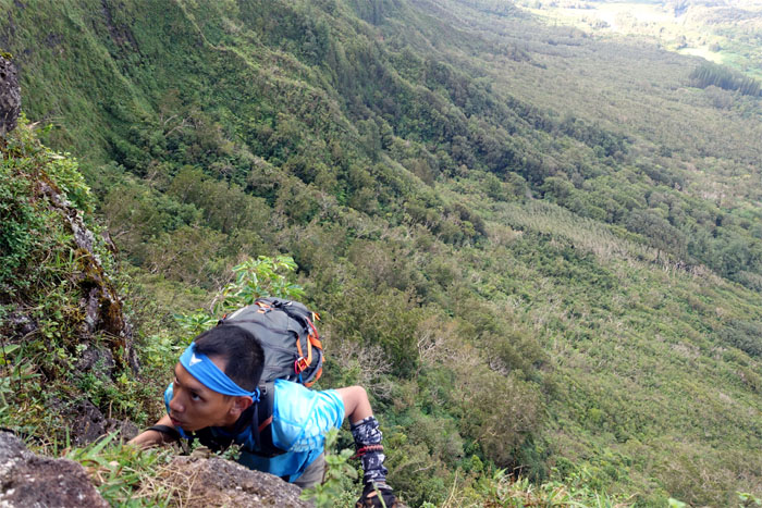
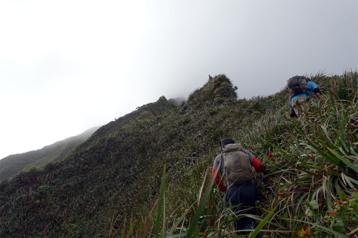
Khym creeping up the contour.
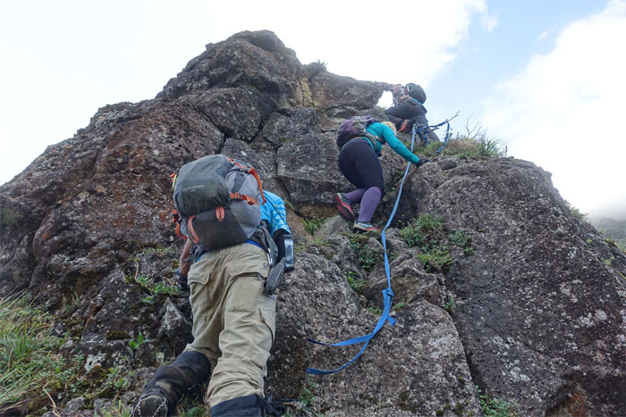
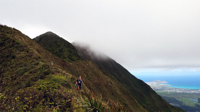
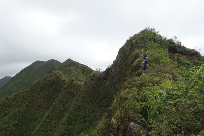
Continuing our climb up the rocky ridge.
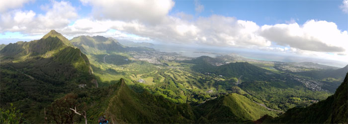
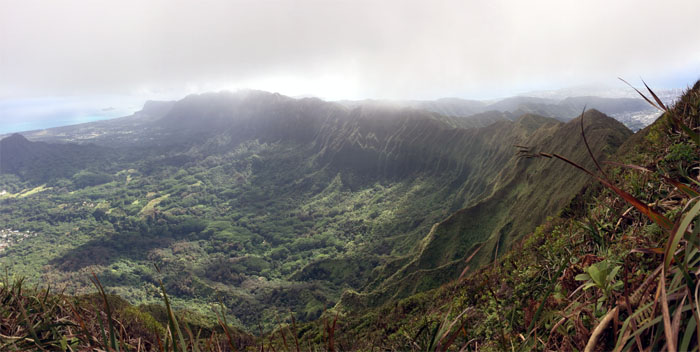
More Windward views. Photo by Ethan Clavecillas.
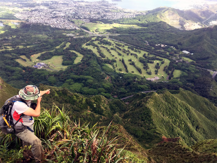
We spotted a hovering helicopter dropping off supplies down by the golf course. Photo by Chris B.
Popping up over the ridge. Photo by Derek Potter.
Pulling ourselves up with uki grass. A hiker’s best friend on the mountains.
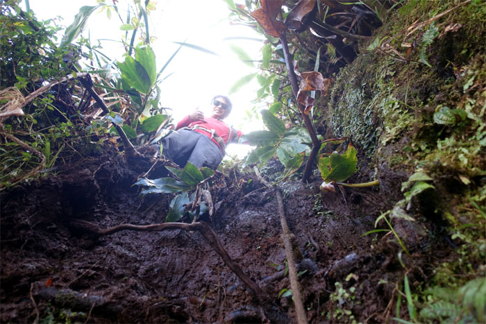
Chris peering down the mud wall.
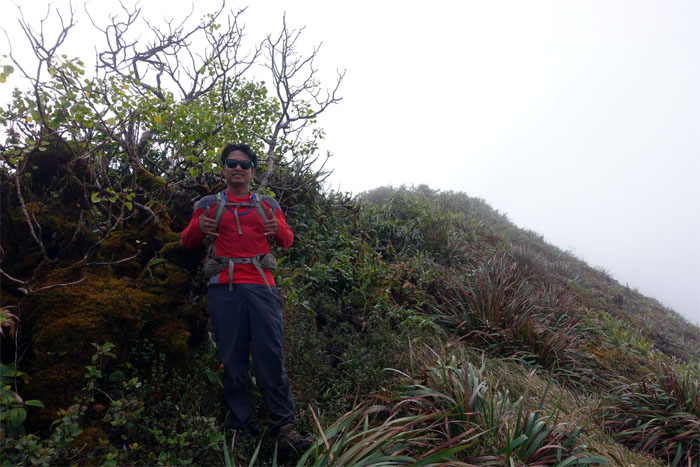
The muddy Piliwale junction. Almost there.
Chris making his way to the summit.
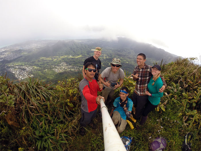
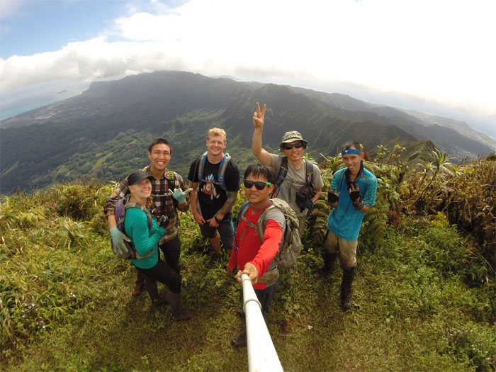
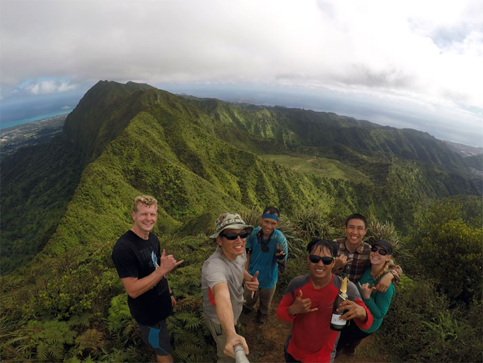
Group photo at the highest spot, 3,150′, on the Ko’olau Mountains, left to right: Chris, Derek, myself, Khym, Ethan and Krissy. The usually persistent cloud cover was surprisingly light and scattered today.
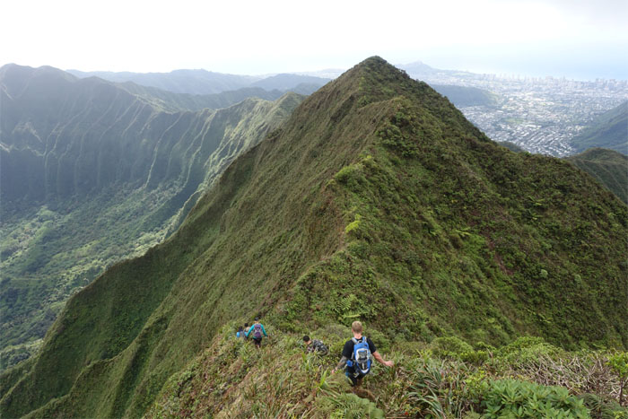
Looking down the Southern spine of the Ko’olau Mountains. Photo by Chris B.
Making our way down to K2.
The views kept on improving. Life was good. Group photo by Chris B.
Leaving the twin testicles behind us. Photo by Ethan Clavecillas.
Dropping down onto the Ko’olau Summit Ridge Trail.
Hiking on the edge. Photo by Ethan Clavecillas.
Coming and going. Photo by Ethan Clavecillas.
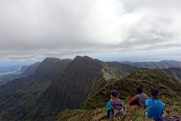
Sitting down and soaking in the views.
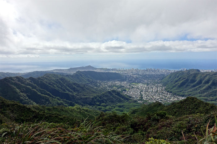
Looking out towards Manoa Valley.
Failed group photo at the 2,320′ summit. All talk, no photos. Photo by Chris B.
The fence is coming. The fence is coming.
Khym and Krissy coming around the stand of ironwood trees. Photo by Chris B.
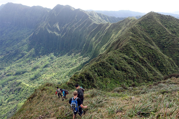
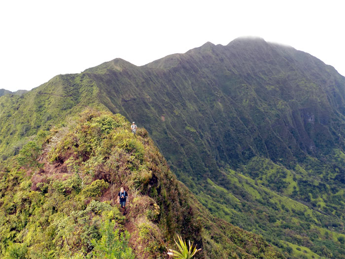
Continuing our hike as the ridge pitched up and down on our way to Olympus.
The group scrambling over sedan rock. Can I get that in another color besides gray? Photo by Chris B.
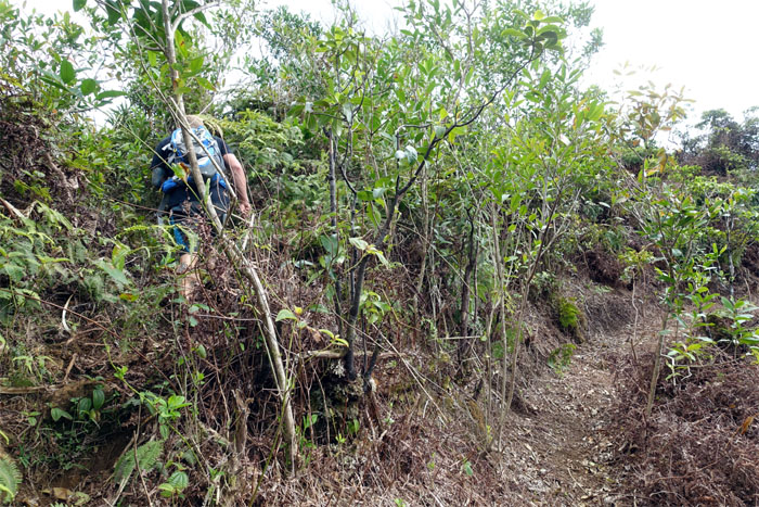
We took the trail less cleared up to the summit.
Looking back. Photo by Chris B.
On the way to Awaawaloa (Olympus). Foot traffic ticked up as the KSRT soon intersected with the Waahila Trail.
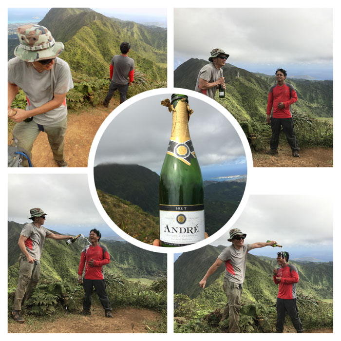
Close your eyes. No pop. Just twist. Not chilled. Room temperature. Less bubbly. Just pour. Surprise!
Congratulations to Chris for completing the Ko’olau Mountain Range. Next stop. The Waianae Mountain Range.
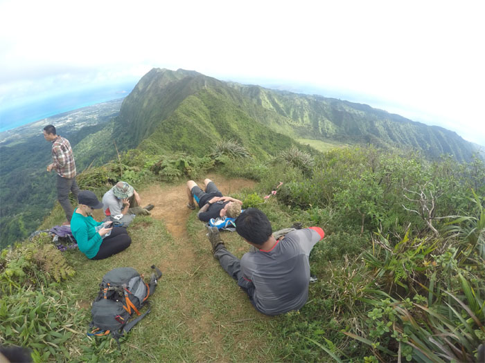
Summit life at 2,486′. Napping. Eating. Outpatient surgery. Thank you Nurse Eizenhoefer. Two gulps. Where is the summit?
Hikers making way for the newly crowned King of the KST.
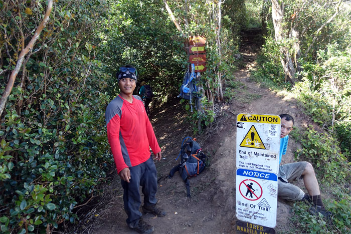
Taking the junction trail at 1,640′, down to Manoa.
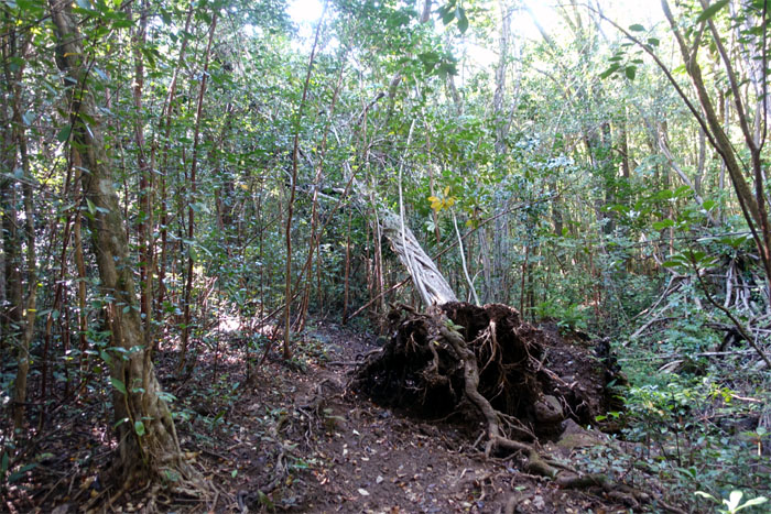
One of many fallen trees on the trail. Yes, a loud crashing sound was made.
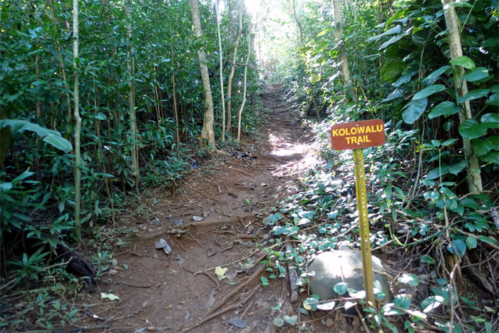
Coming off the ridge and down onto the valley floor, which lead us back to our parked cars.
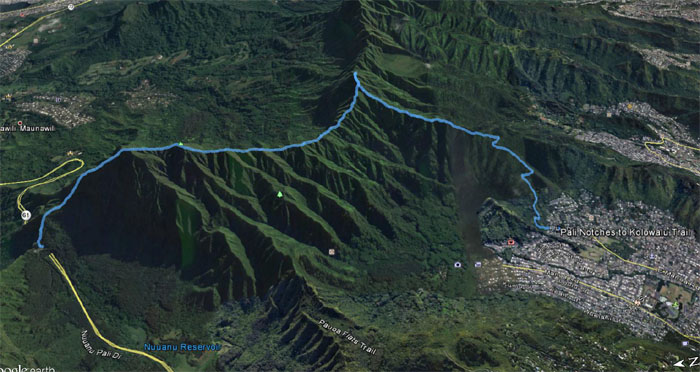
Our hike covered 7.43 miles as the GPS flies. Congratulations again to Chris for completing the KST. Awesome accomplishment.
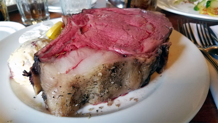
Post hike meal at Haleiwa Joe’s, because somebody wanted prime rib. Somebody got the chicken instead. I got the honking slab of cow that was just missing the horns and tail.
Note: I have been made aware the some hikers have been using my blog as a hiking guide and getting lost on the trails. Please note that this blog was made to document the hike for the crew(s) that did it. That is why some of my comments will seem to have no relevance or meaning to anybody outside of the crew(s) that hiked that trail. My blog was never meant as a hiking guide, so please do not treat it as such. If you find inspiration and entertainment from these hikes, that is more than enough. If you plan on replicating these hikes, do so in the knowledge that you should do your own research accordingly as trail conditions, access, legalities and so forth are constantly in flux. What was current today is most likely yesterdays news. Please be prepared to accept any risks and responsibilities on your own as you should know your own limitations, experience and abilities before you even set foot on a trail, as even the “simplest” or “easiest” of trails can present potential pitfalls for even the most “experienced” hikers.





{ 2 comments… read them below or add one }
So that is what you call a nipple …. crap i heard that term somewhere in the kalihi saddle
Aloha Khym,
Yup, I could be wrong. But maybe you are referring to the “pimple” on the Kalihi Saddle (Lanihuli side)? Well, you can see it firsthand for yourself next week. LOL.
Mahalo