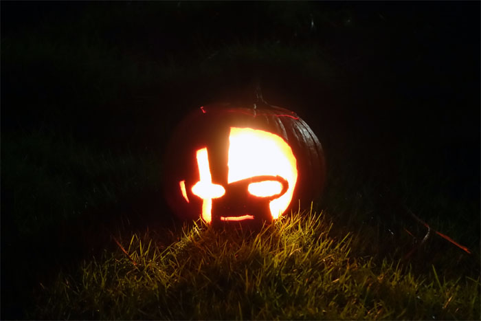
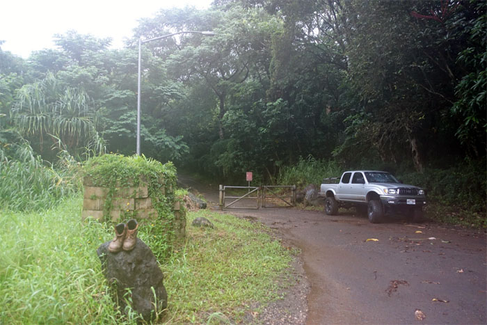
Visions of carved pumpkins dancing on a certain extinct crater were soon extinguished, to be replaced by another Halloween hike deep in Kahana Valley. Dale picked me up from Helemano Military Reservation and we journeyed around the island to a place where cell phone reception does not exist.
These boots are made for walking. Or was that past tense?
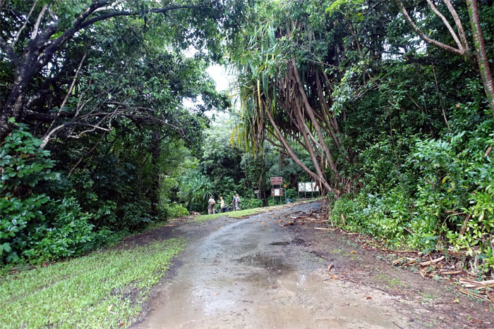
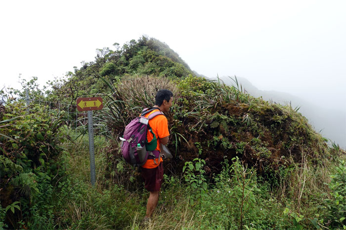
We saw a pack of hunters ahead of us that went down the Nakoa trail. We were headed uphill to the water tank.
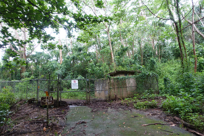
The trail for us was the opposite of the sign’s direction.
HTMC had recently cleared the bottom part of the trail. Lucky us.
The sun was trying to pierce the clouds and the clouds were winning.
The trail soon met up with the ridge and we turned left to continue our climb towards the Koolau Summit Trail (KST).
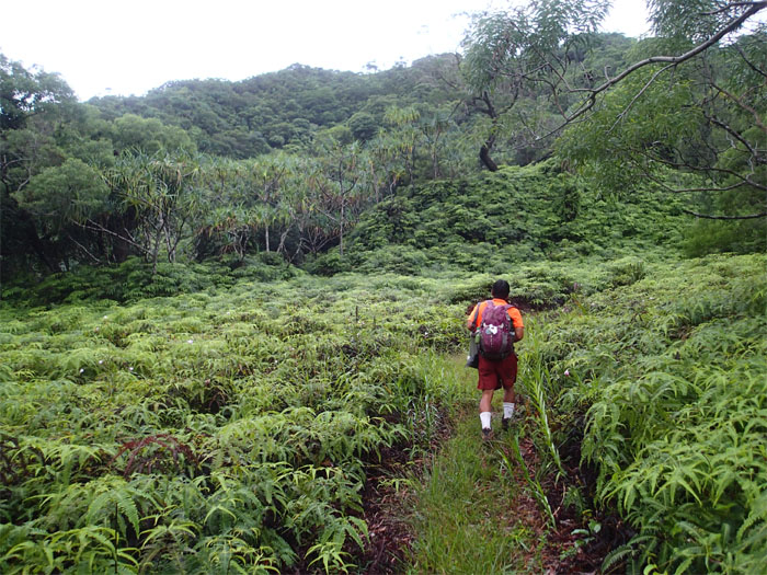
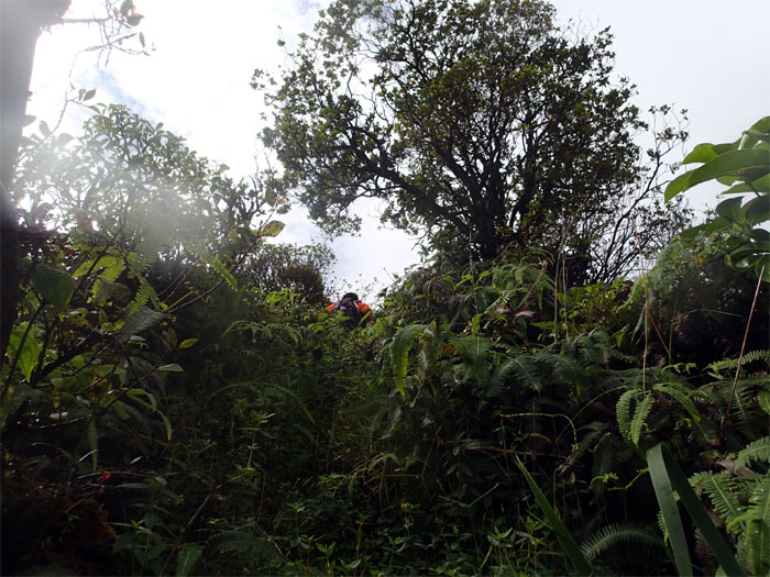
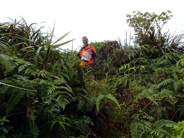
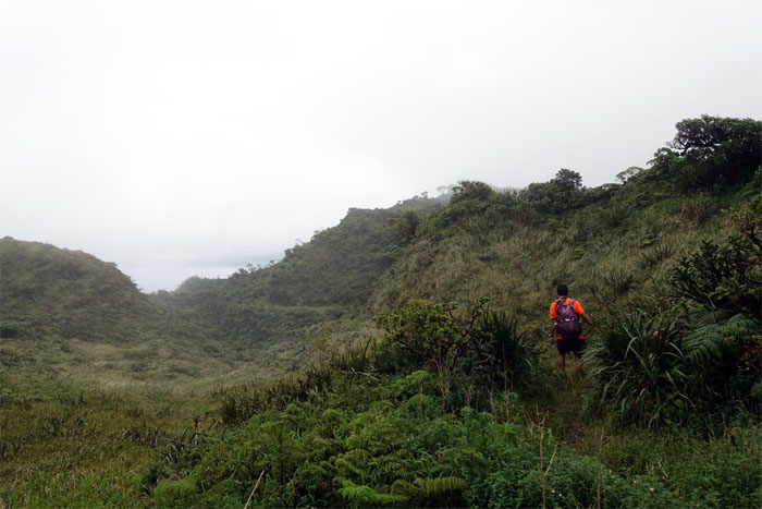
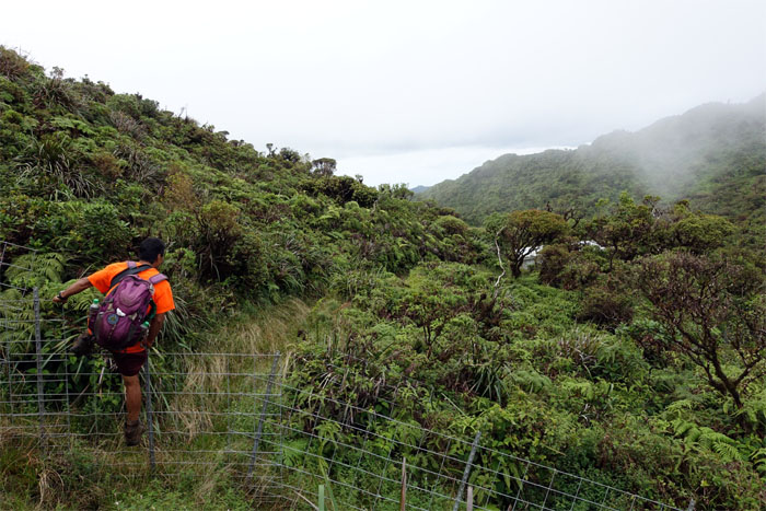
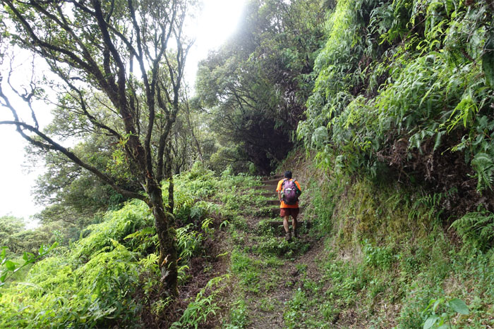
The cleared trail slowly lost ground to a tangled mess of uluhe ferns as we climbed higher.
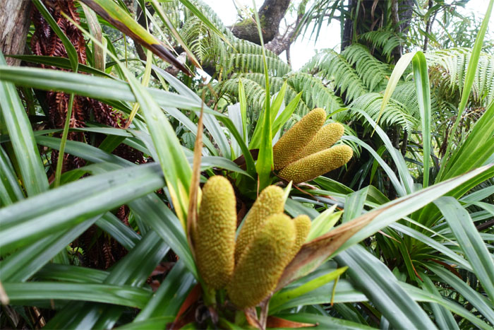
Endemic woody climbers scattered on the trail.
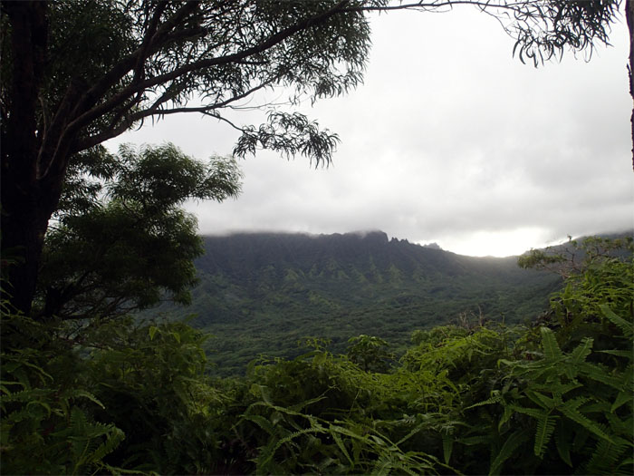
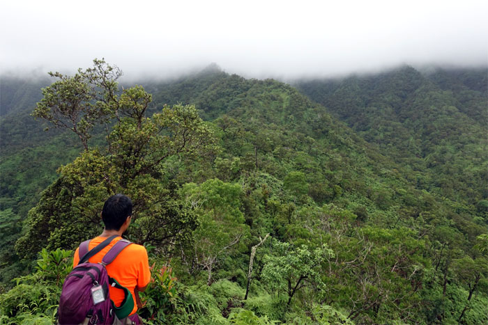
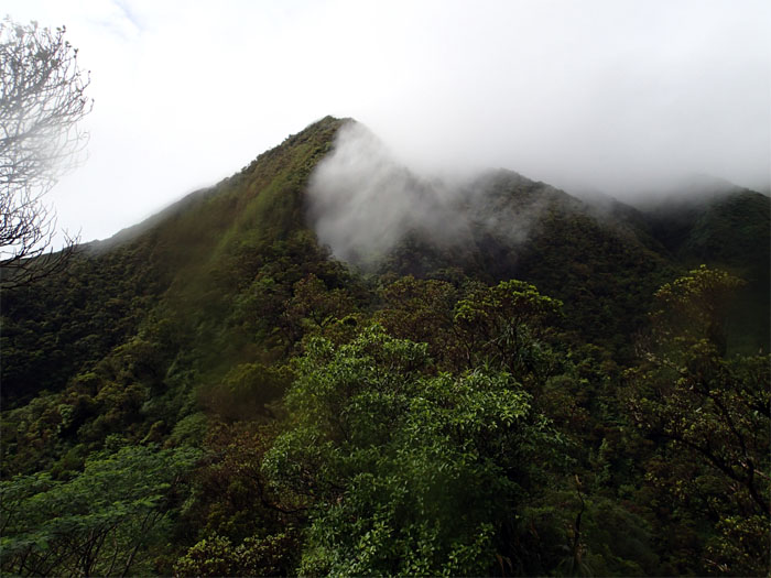
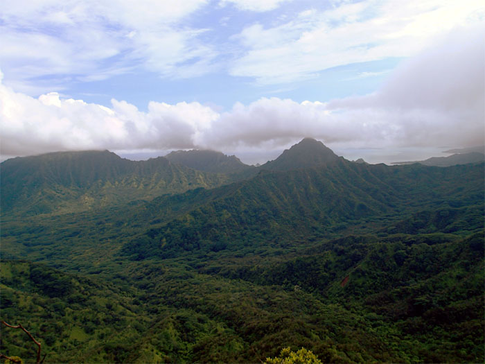
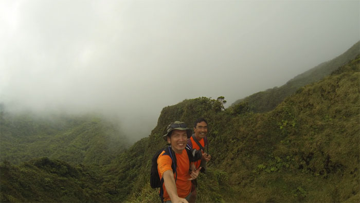
Our destination was masked by heavy cloud cover.
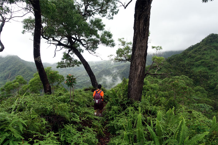
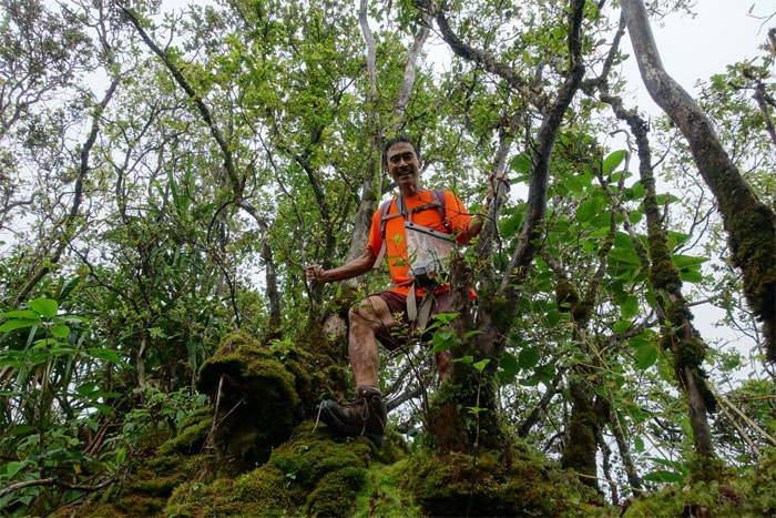
Taking a break amidst the mossy covered trees and ground.
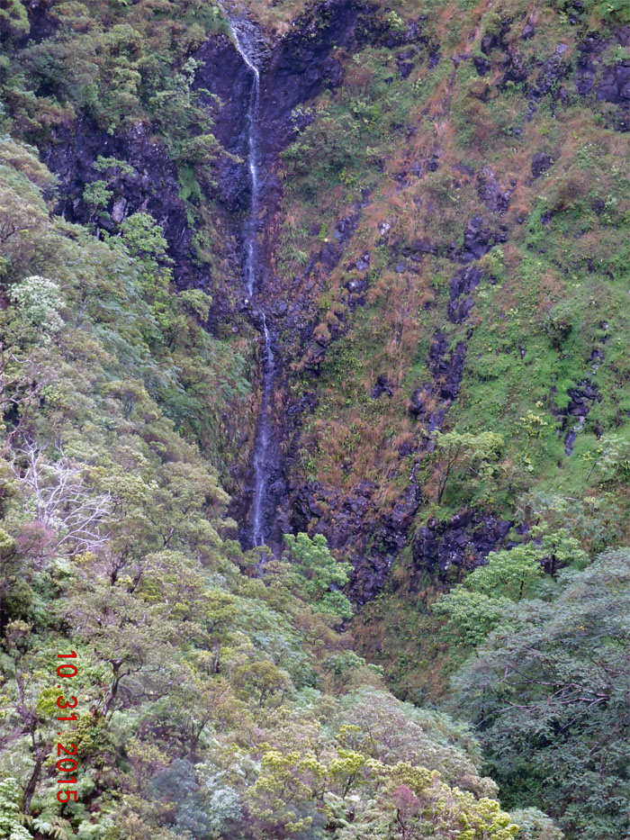
Tucked away deep in the valley. Another hike for another day. Photo by Dale Yoshizu.
One of many false summits that teased us on the hike.
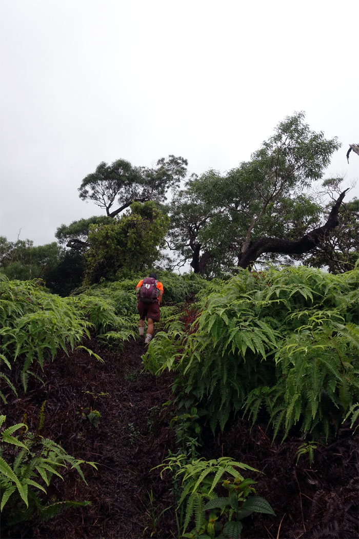
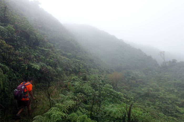
We lost our bipedal locomotion as the ridge angle slowly increased.
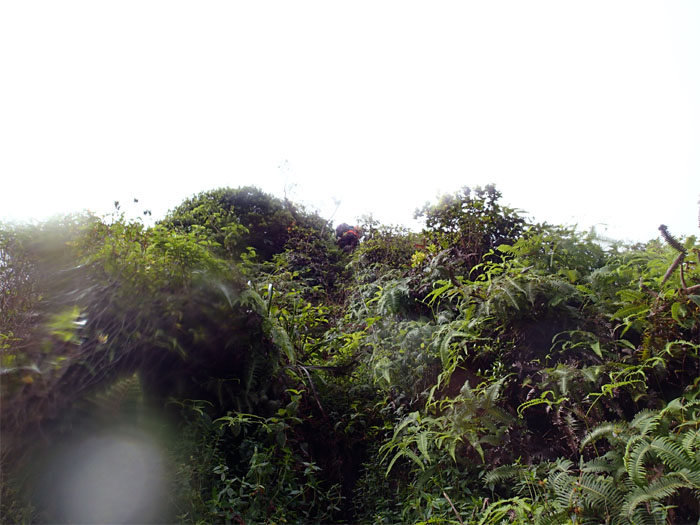
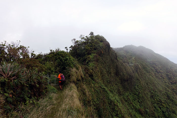
The ridge maintained the steep angle to the summit. Crawling and climbing. Huffing and puffing.
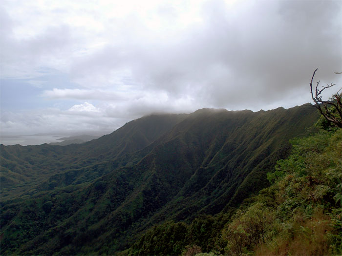
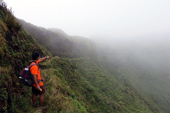
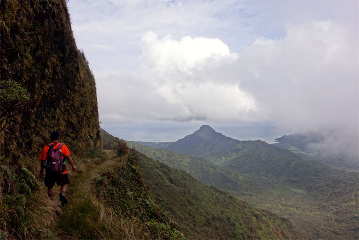
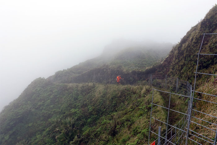
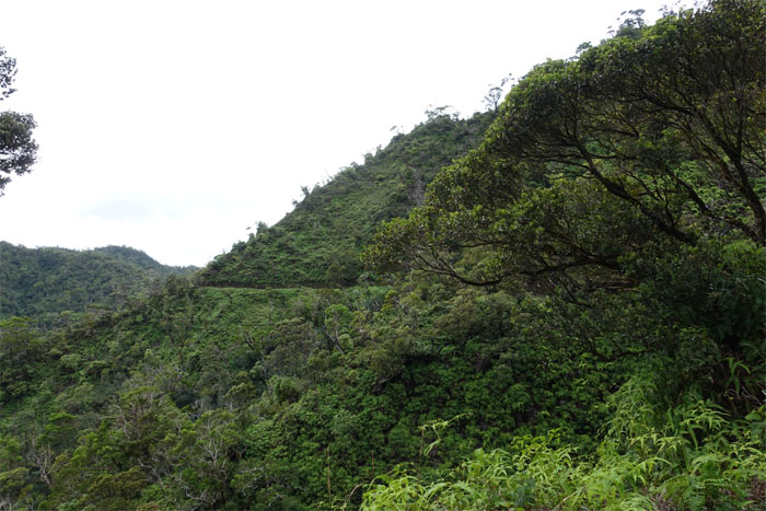
Looking at the contour trail carved into the side of the mountains.
Besides being the wettest valley on the island, it also boasts one of the best views on the island.
You’re standing on it Dale!
Group photo at the top. Small group. Not really a group.
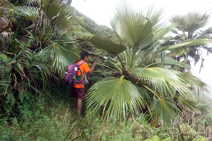
Dale passing through a cluster of endemic palm trees with their rustling fan shaped leaves.
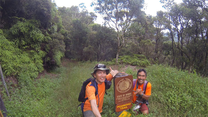
We turned right on the trail towards Poamoho.
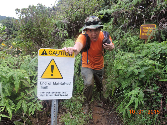
This must be a hiking trail. There is a sign. Signs of progress or not. Depending on ones point of view.
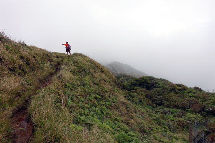
Dale looking out at the historical Ko’olau Summit Trail that was originally created for hunters to control the feral pig population and not for hikers back in the 1930’s.
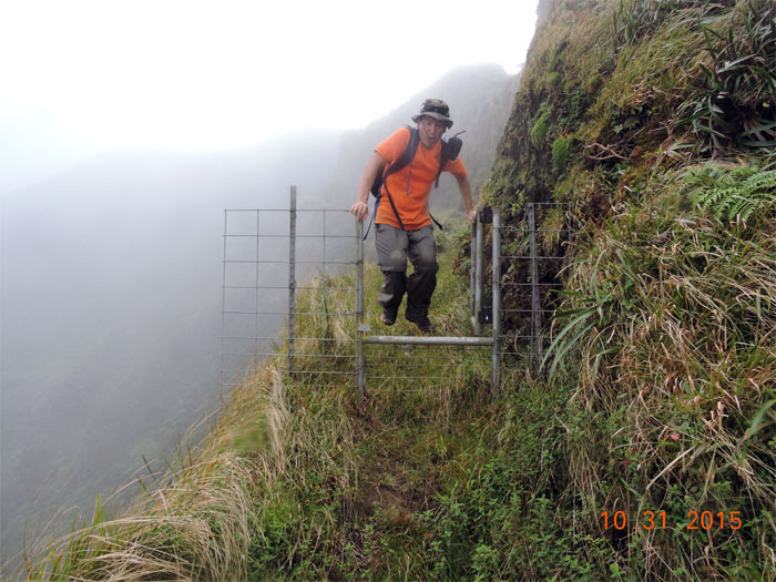
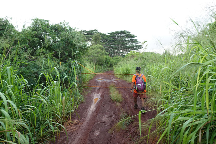
My feet never touched the gate, however not the same could be said for my posterior which kissed mother mud. Photo by Dale Yoshizu.
The trail crossed to the Leeward side, affording us cloudy views of the Waianae Mountain Range and Central Oahu.
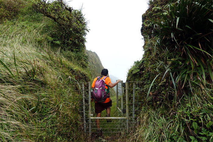
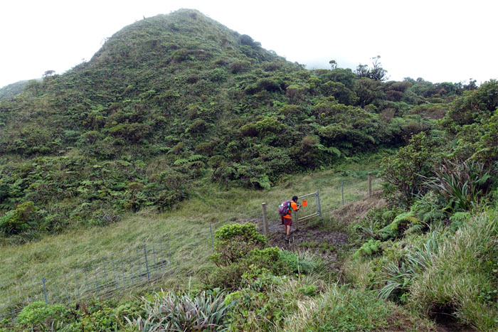
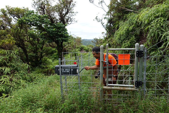
Dale opening one of many gates we would encounter on the trail.
The trail switched back to the Windward side with stunning views of Kahana Valley and the Windward side.
The trail switched back to the Leeward side, sheltering us from the howling winds.
Dale making his way to the cabin.
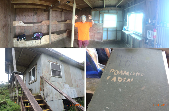
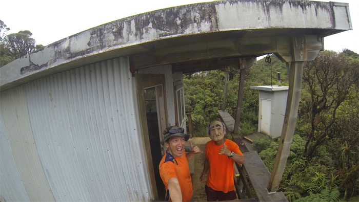
The legend of the old man in the cabin was true! Photos by Dale Yoshizu.
Dressing for the occasion. We both wore pumpkin orange.
Click here for the larger image.
Click here for the larger image.
The other way.
Dale making his way towards the summit.
One of the greatest views on the island. That is, when the weather cooperates.
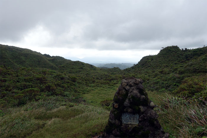
The only view was that facing the Waianae Mountain Range.
Dale leaving the no view summit.
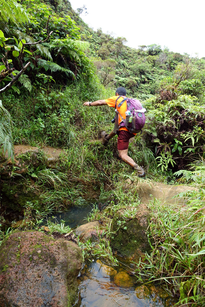
Dale making sure his feet does not touch water. Just mud.
Or was that checking out?
We left behind the unmaintained trail. Walk in the park from this point. Photo by Dale Yoshizu.
The trail meandered through the vast Ewa Forest Reserve.
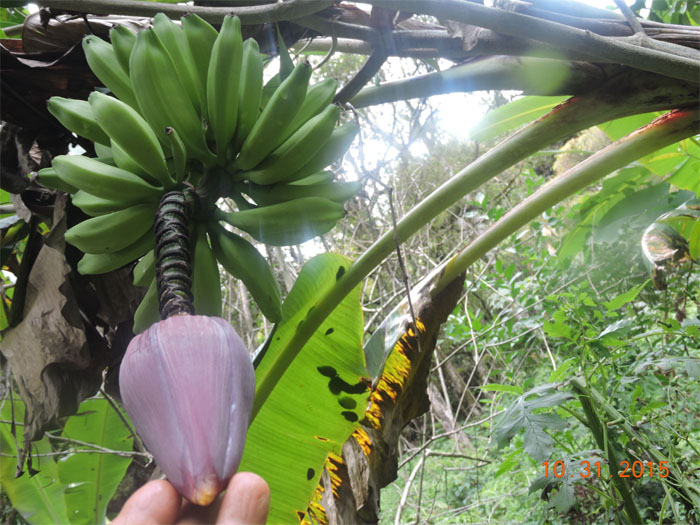
Slightly radioactive leathery berries.
Dale climbing up the steps on the trail.
The easy part was over. Now the long and boring part lay ahead of us.
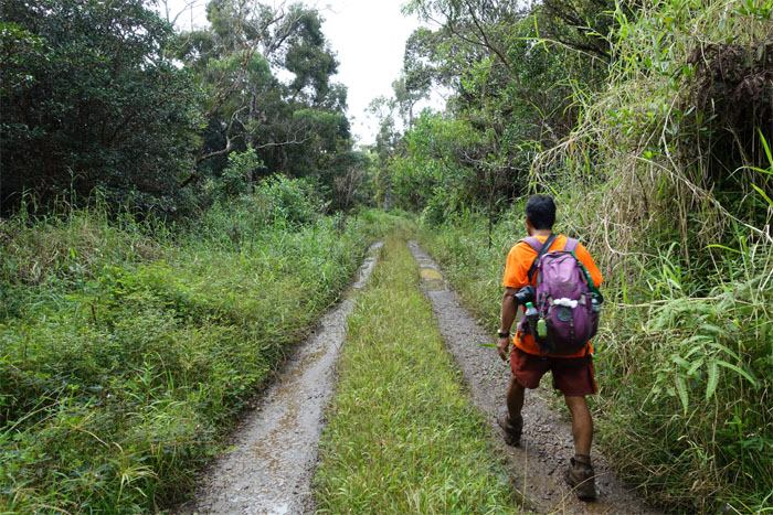
Six miles of jeep road. There is actually a permit you can obtain to drive a 4×4 on this road to save you some mileage. Unfortunately for us, we were going down and not up.
We decided to move along in case they became bored with just chewing grass. Photo by Dale Yoshizu.
The first of three gates we would encounter on the trail.
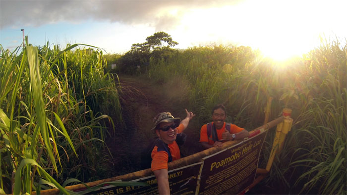
The sun was still shining on our sweaty faces. My car was still parked where I left it. Intact. All treats and no tricks today.
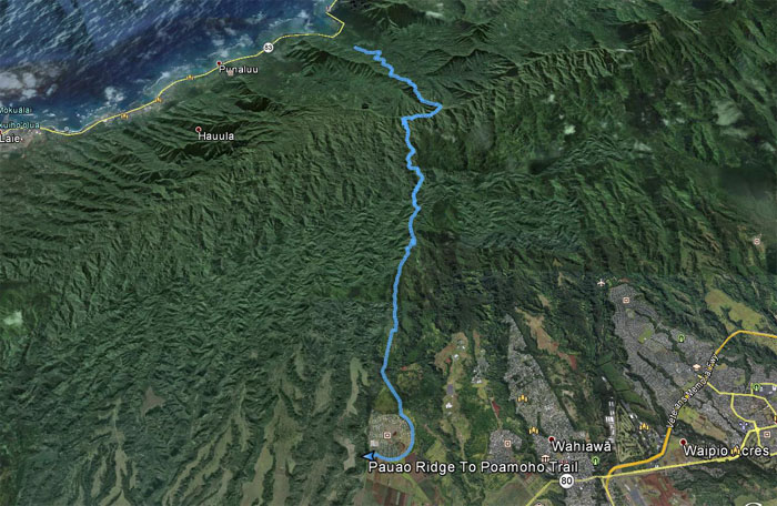
Our Halloween Ko’olau traverse hike covered 13.95 miles. Mahalo to Dale for keeping me company on today’s hike. Post hike meal at Zippy’s.





{ 6 comments… read them below or add one }
Too good Kenji! Always like the narration with your photos. Also, like the research you do to get the historical information. Thanks for taking me along on this hike!
Aloha Dale,
Glad you came on the hike Dale! Always enjoy your company! Happy Trails!
Mahalo
What time you guys start from water tank, reach the summit and pau … just wondering doing some estimated time
Aloha Khym,
We got to the tank at 0745 and made our way up the ridge to the KST, traversed to the cabin, took pics and ate lunch and got to poamoho summit around 1330. Got back down to the road around 1630. You’re faster, so you probably will get better times.
Mahalo
Hey Kenji,
Could you send me the GPX tracks for this hike? I would much appreciate it!
Aloha Brandon,
Let me try and find it and I’ll send it over.
Mahalo