
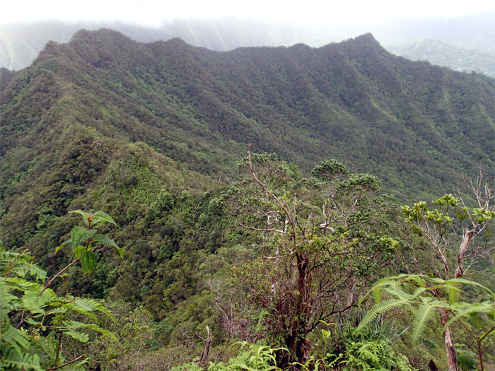
Chris B and myself joined the HTMC on their hike to a sharp peak on a rugged ridge in Kahana Valley. Photo by Chris Bautista.
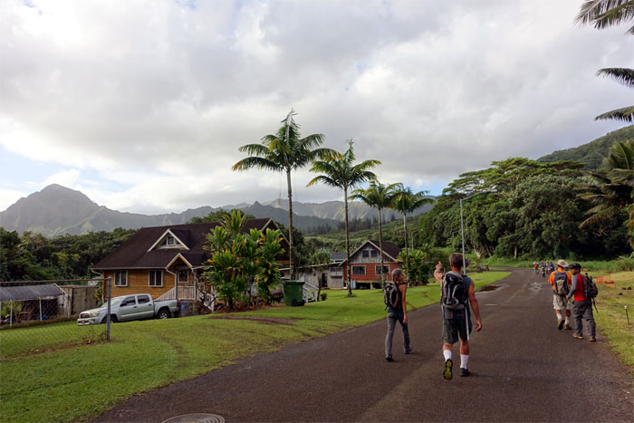
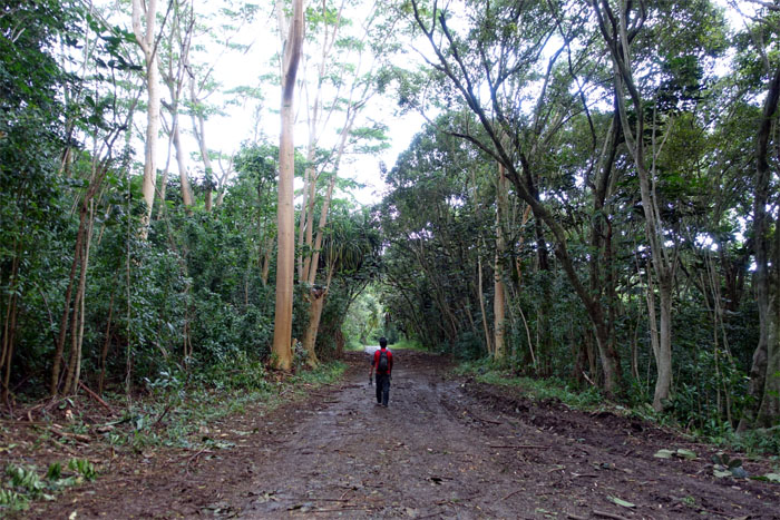
Trailhead
We met up with the group and were briefed by Grant, the hike leader and then moved our cars to the visitor parking inside the valley to begin our hike.
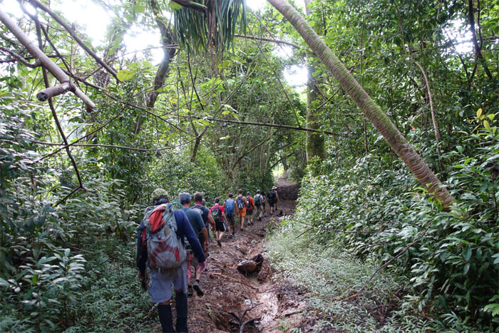
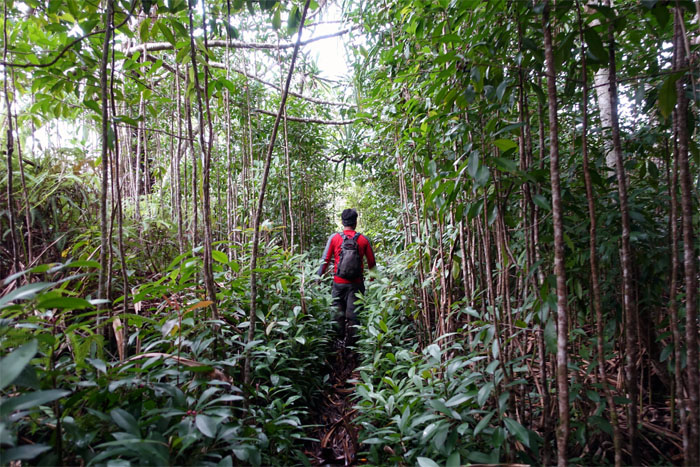
Trail
Single file shuffle.
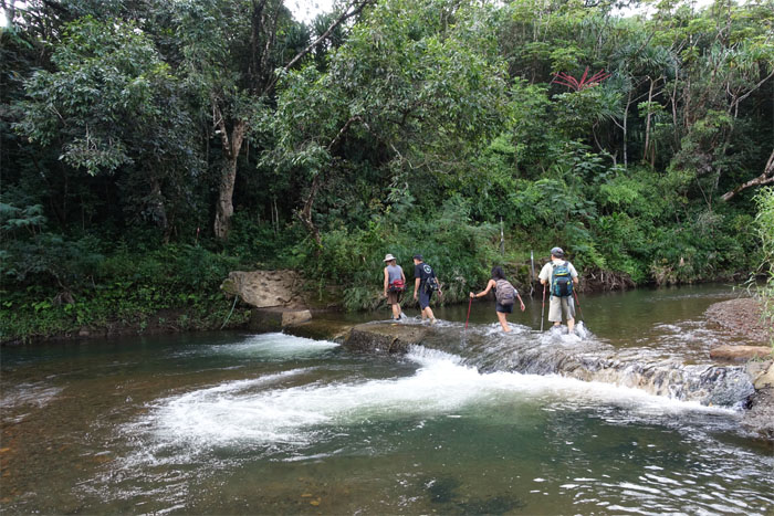
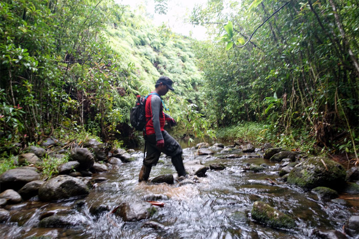
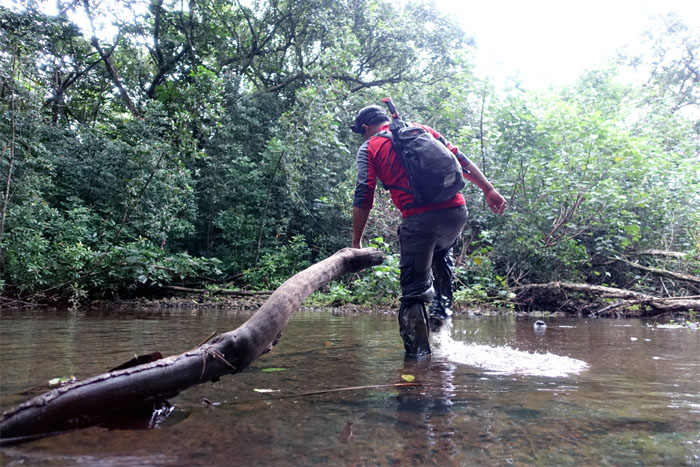
Dam crossing
The group crossing Kahawainui Stream.
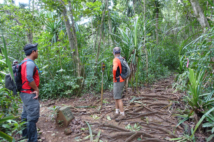
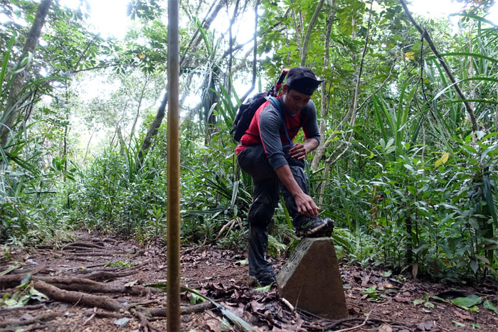
Nakoa trail
Which way guys? Straight?
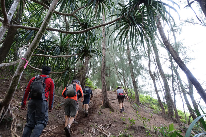
Uphill
The group walking through a stand of lauhala trees.
Uluhell
HTMC had cleared the lower portion of the trail earlier, but the remaining part to the top was steep and heavily overgrown.

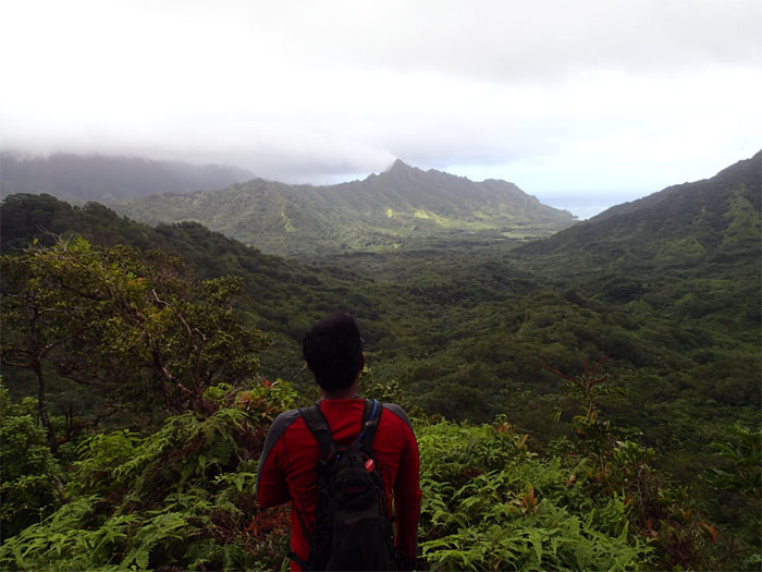
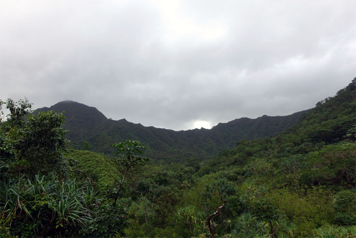
Looking back
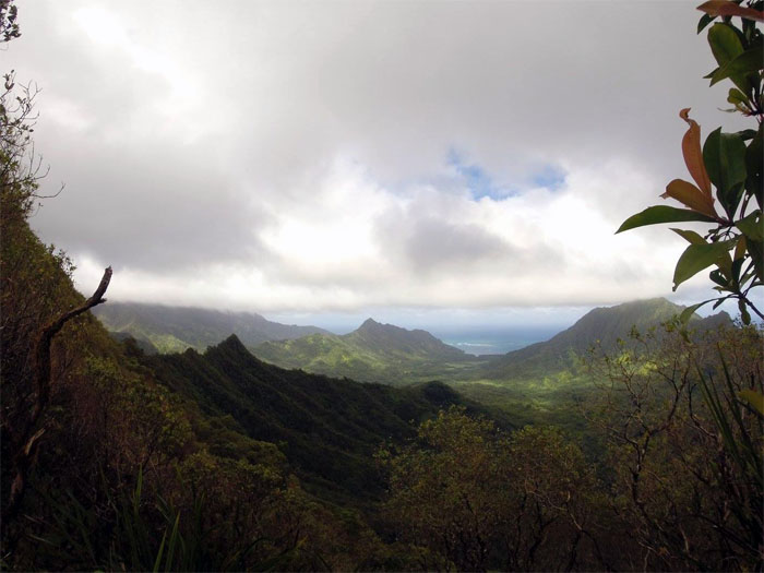
Looking out towards Kahana Valley, the former playground for the US Army during WW2.
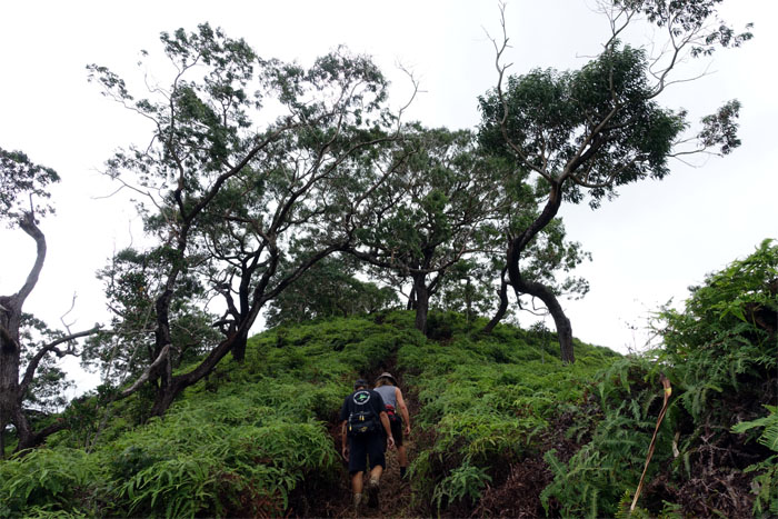
Short, steep and sweet
Looking ahead to the summit of Pu’u O Kila. It took us only 90 minutes to get to the top. Huffing and puffing 90 minutes. Still only an hour and a half.

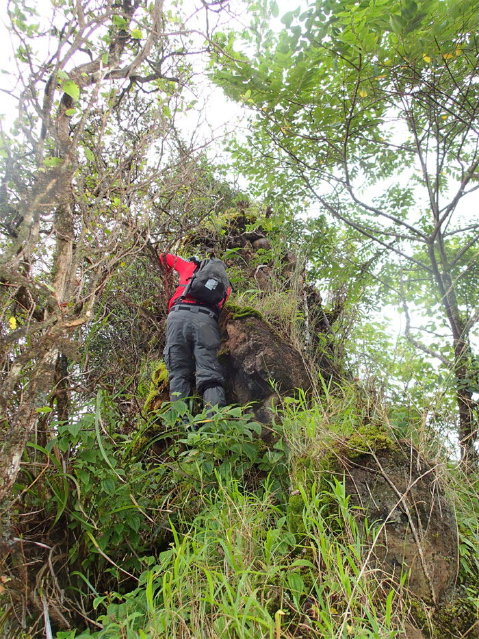
Steep
Who needs rope where we’re going?
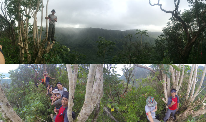
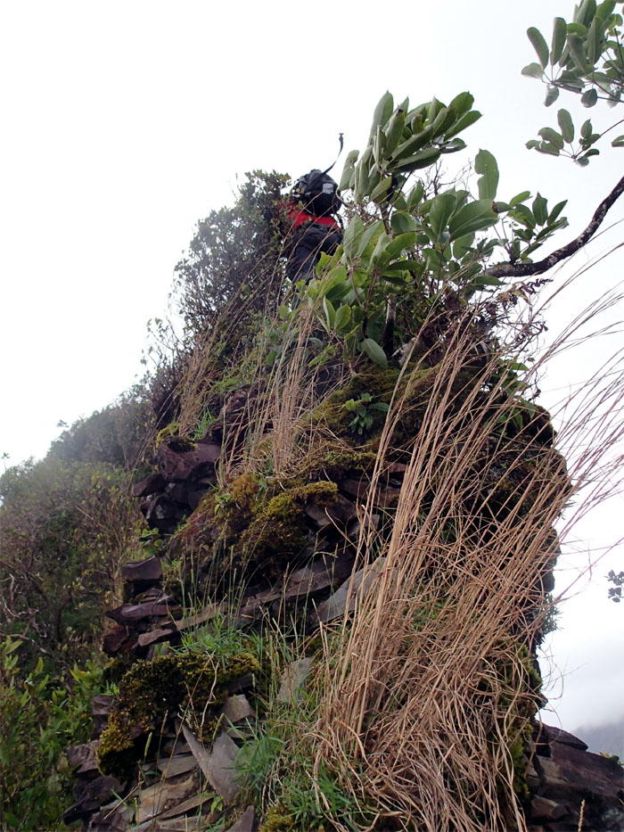
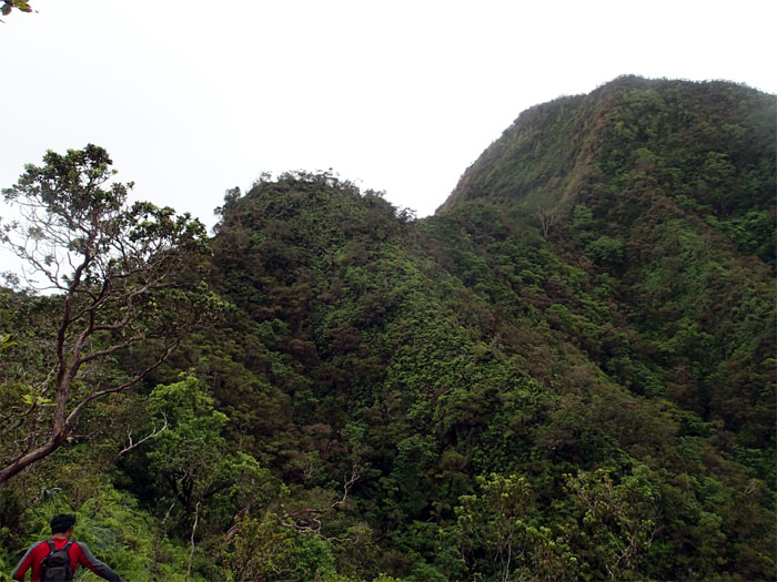
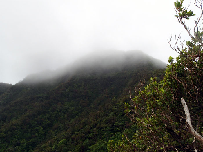
Puu O Kila
Click here for the larger image. The 1,520′ summit was quite sparse in terms of space and views.

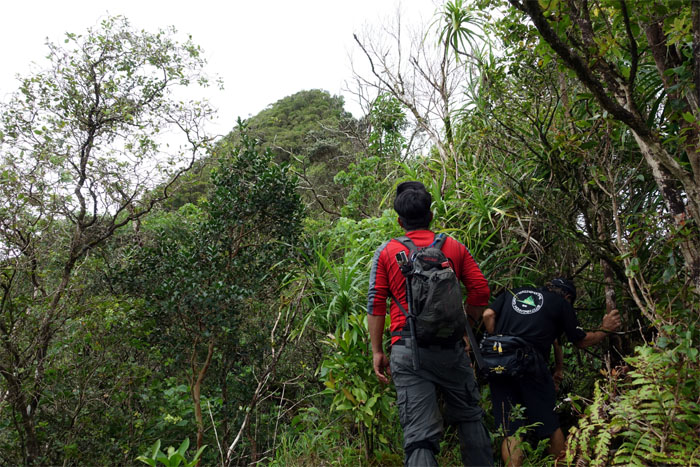
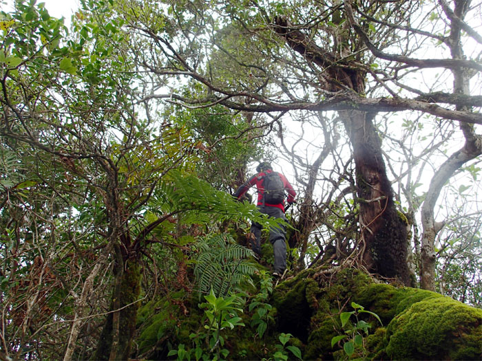
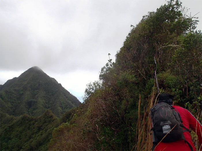
Bushwhacking
I had asked earlier about the possibility of breaking away from the group and doing the connector ridge from the summit to Ohulehule. Word was that it was probably not doable anymore. Key word on probably. We separated from the group and forged ahead on the connector ridge. Rain clouds looked promising.
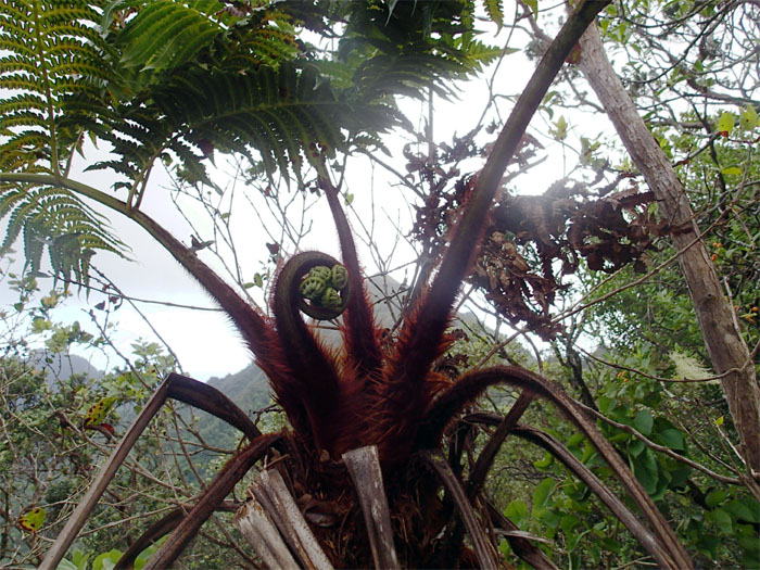
Fiddlehead
Toss them in a pan with butter and sea salt. Drizzle with lemon juice. Serve.
Trail
The ridge started to get overgrown as we pushed forward.
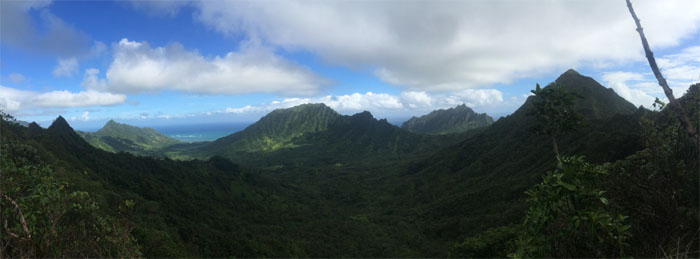
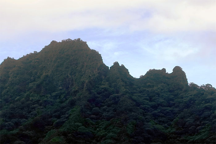
Kahana Valley
Click here for the larger image.
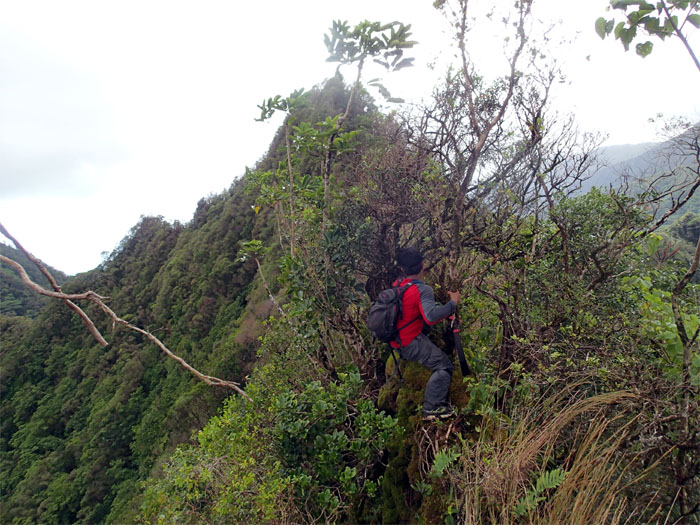
Ridge
We had some rock climbing to break the monotony of the heavy overgrowth.
Ridge
Chris swinging around a tree to get back on the ridge.
Ridge
This rocky section reminded me of the second peak of Paku’i.
Looking back
Leaving Pu’u O Kila behind us. Photo by Chris Bautista.
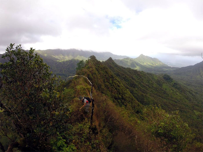
Ridge
Typical ridge hike filled with multiple short ups and downs. Some sections were narrow and crumbly.
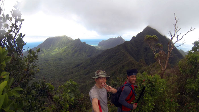
Pu’u Koile
Group photo at the 1,660′ summit. There was another connector ridge to the KST. Another hike for another day.
Ridge
We were within striking distance of Pu’u Ohulehule. Or was that hiking distance?
Ridge
Chris “Machete” Bautista hacking away at the overgrowth.

Uluhell
The struggle was real. Steep and heavily overgrown climb to the junction.
Junction
We took a breather after battling through all that overgrowth.
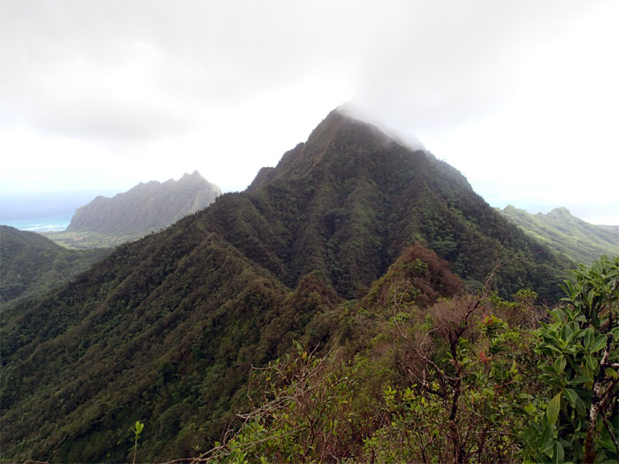
Pu’u Ohulehule
Talk about summiting Ohulehule was dispelled by the rapidly accumulating cloud cover at the top.
Ridge
We turned left and started our descent down the Northwest ridge.
True Manamana and Two Apes Talking
A possible loop hike for another day?
Stream crossing
We dropped down from the ridge and started making our way through the valley.
Looking back
The rugged ridge we had just traversed behind us.
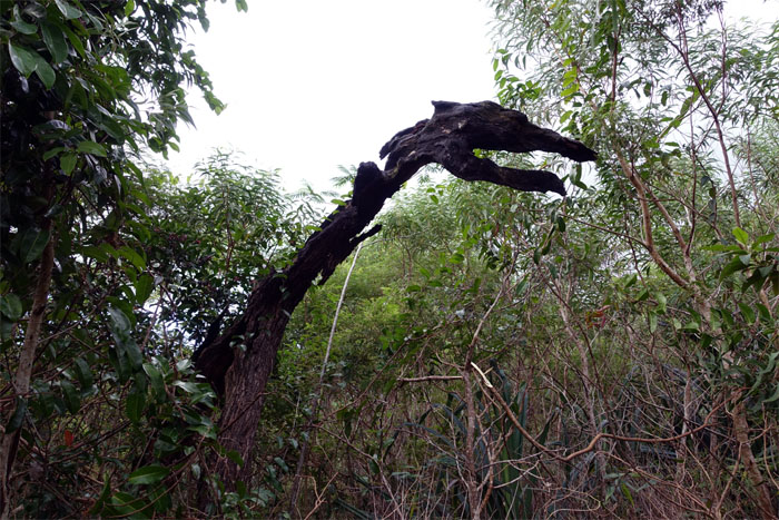
Hidden dragon
Where was the crouching tiger?
Trail
Chris walking next to the gurgling stream.
Stream crossing
No flash flood conditions today.
Nakoa trail
We meet again.
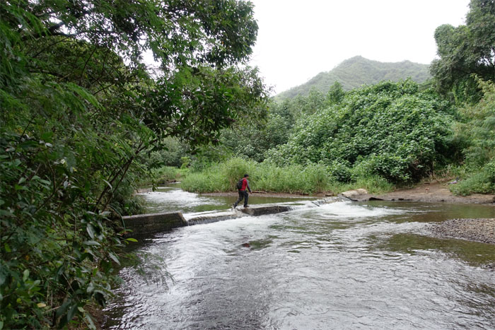
That dam crossing
No swinging or swimming in the water for us today.
All pau
We walked back to the trailhead and the barking dogs. Leashed.

GPS Tracks
The scenic hike covered a scant 7 miles through sometimes steep, narrow and overgrown ridges. Post hike meal at Waiahole Poi Factory. Scratch that. Closed. Next stop. Zippy’s.
{ 0 comments… add one now }