It was our second attempt with the same crew for the same trail. The first one was aborted due to severe weather. This time around was different. We would finish, come hell or high water or mud.
Mahalo to Edgar for driving Aida, Jeremy, Roger and myself up the jeep road for our hike today.
Jeremy crossing the barely wet stream that was a marked departure from our last visit where the stream was flowing quite forcefully.
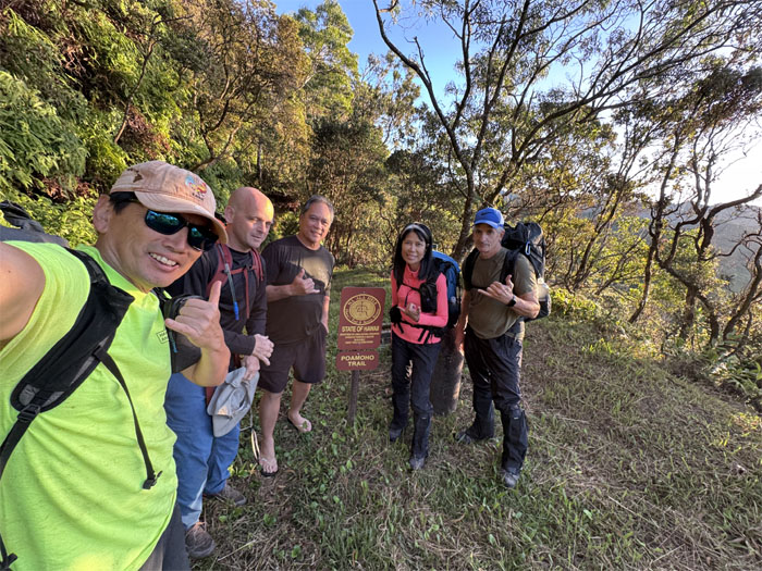
Group photo on the surprisingly still summit at 2,520′ elevation.
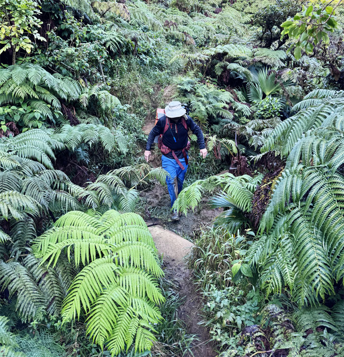
Leaving the summit as we stepped foot on the Ko’olau Summit Trail. Stuart Ball said “The Ko’olau Summit Trail is for experienced hikers only because it is overgrown, muddy, and sometimes narrow and obscure.” Truer words were never spoken for this day.
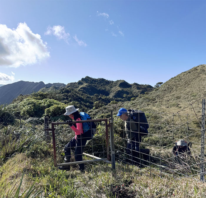
We stayed to the left of the fence line as we made our way past the snail habitat and opened the gate to where the country is still country, trails less traveled.
Contoured our way below the fenced ridge line and traversed across the old landslide until we regained the fence line.
Breaking free of the mud and overgrowth, we enjoyed a brief respite on an open section of the trail. Enjoy it while it lasts.
Climbing up the gradual slope where we soon regained the fence line again, a constant companion on the trails.
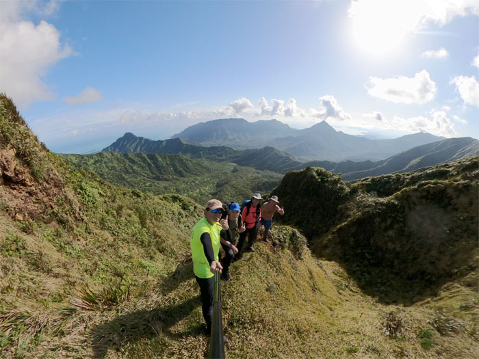
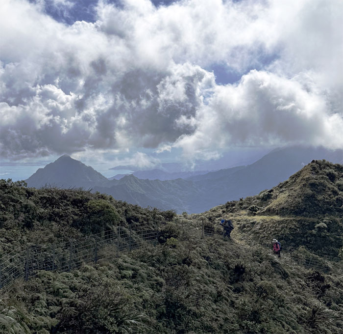
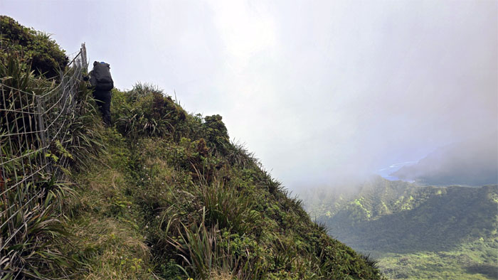
Following the fence line against the backdrop of Kahana Valley and the prominent peak of Ohulehule.
Group photo at the iconic junction, wondering when the boot will eventually fall off the stake due to constant exposure to the elements.
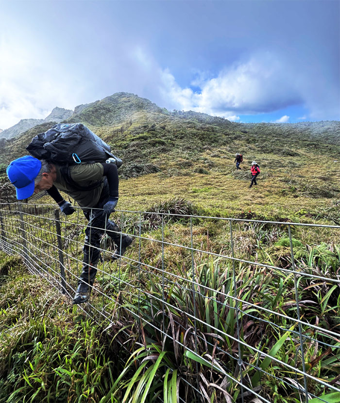
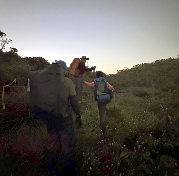
Roger going over the fence after crossing the spongy meadow.
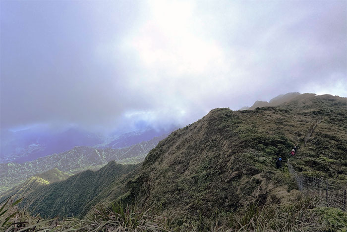
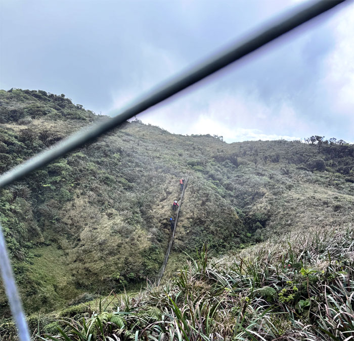
Resuming our fenced walk.
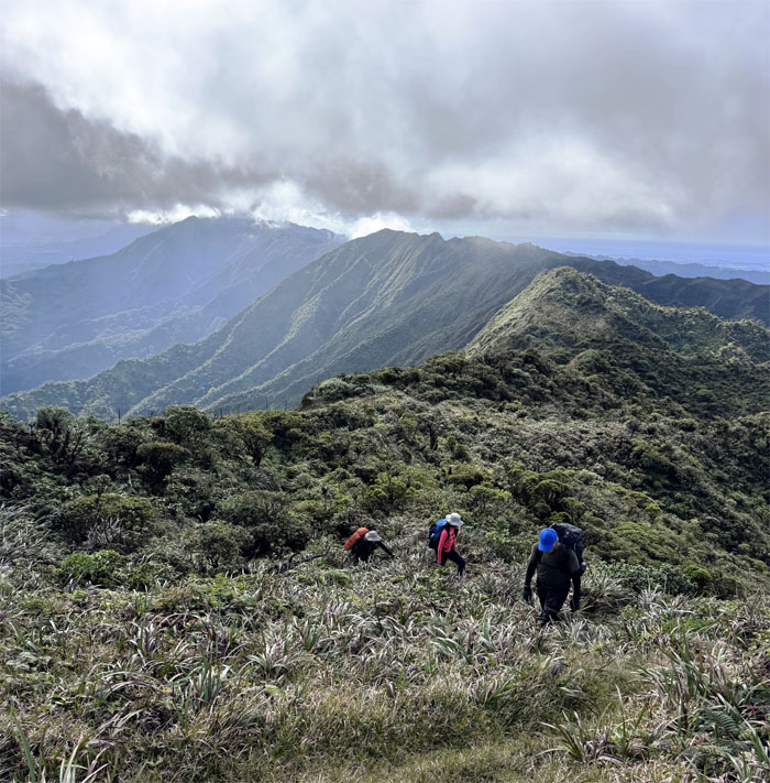
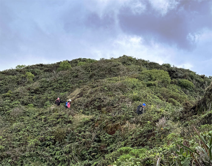
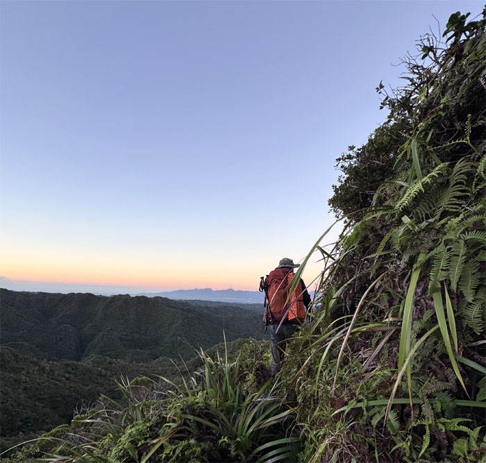
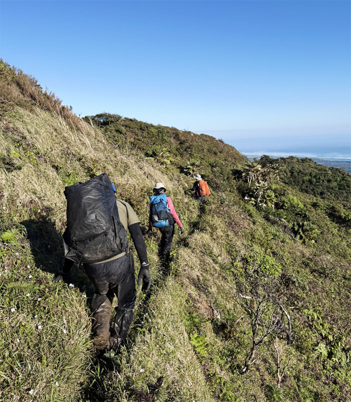
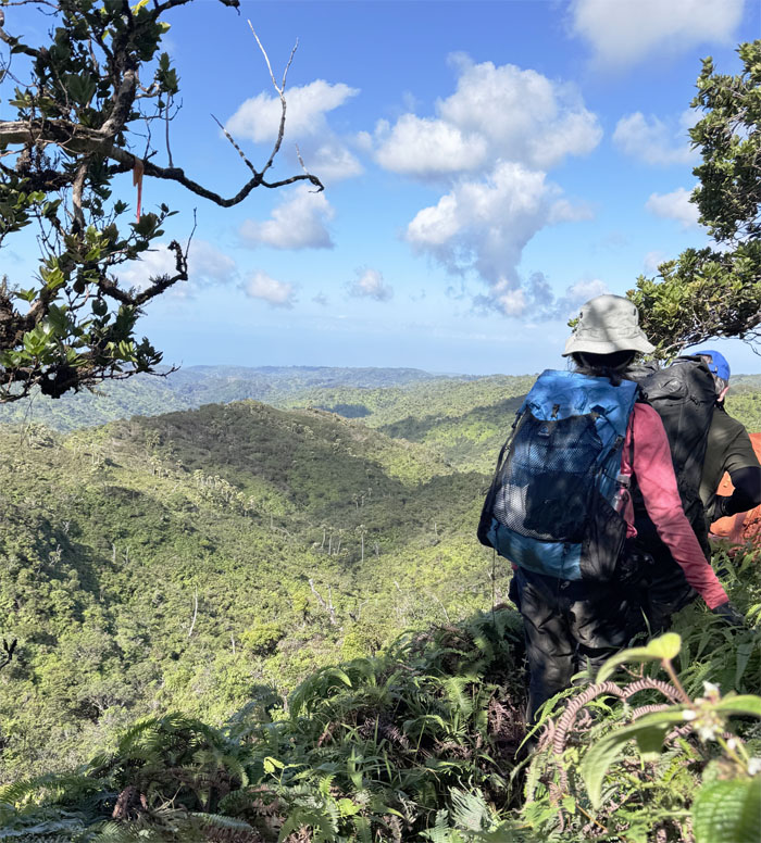
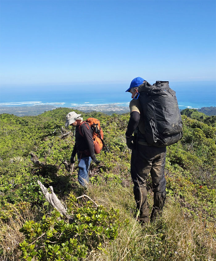
Keeping the fence to our left and the views to our right.
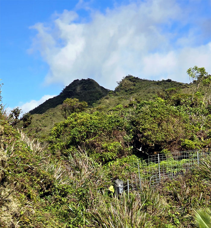
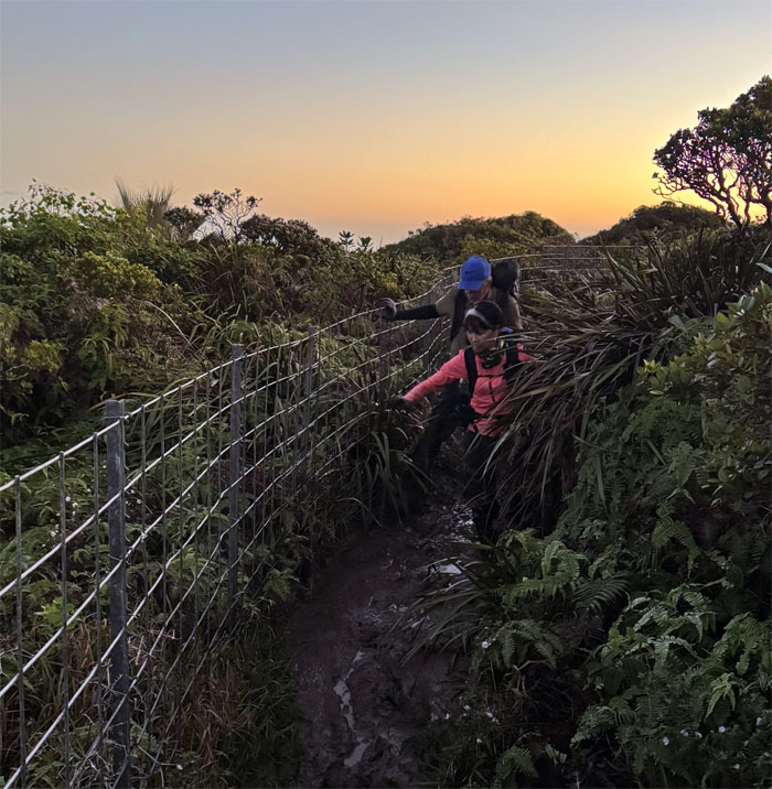
Fences for daze.
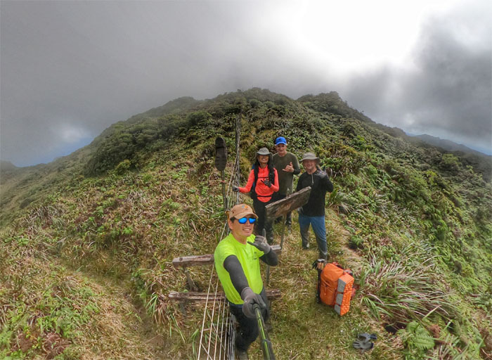
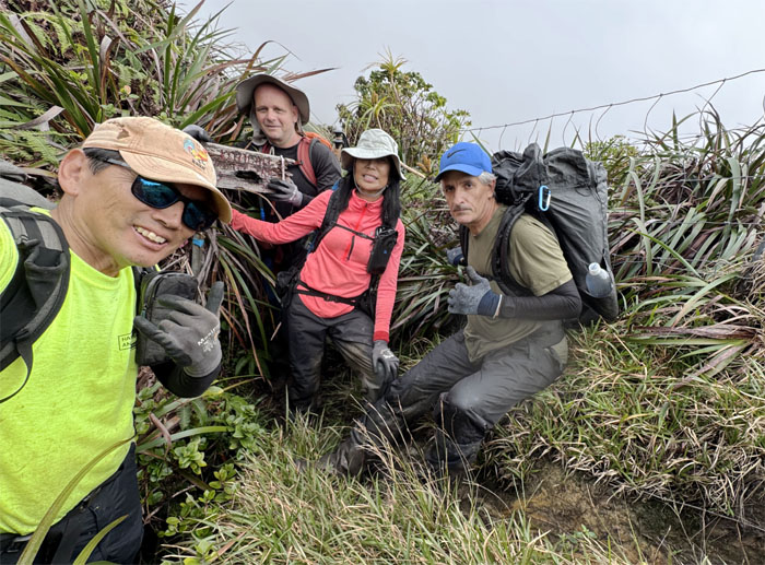
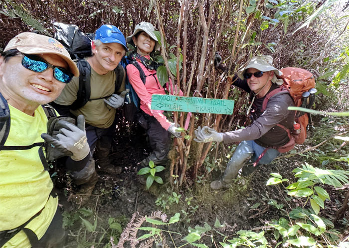
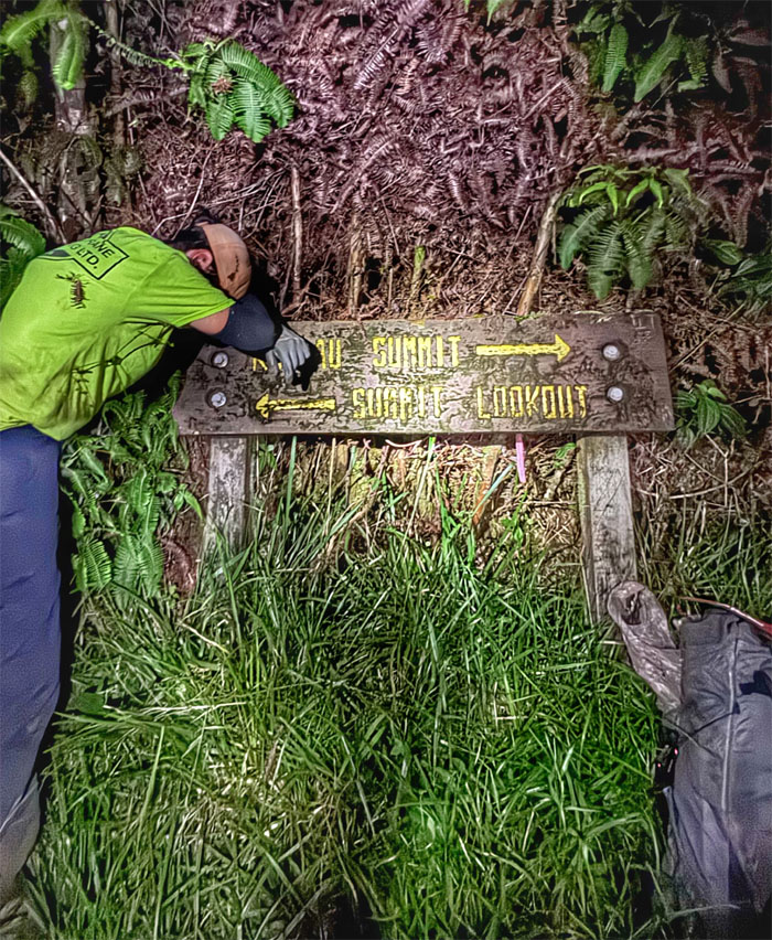
Group photo at the sign that needed a new home or was it the home needed a new sign?
Roger and the rest of them did not want to get “baptized” by the deep mud at the foot of the gate. Sticks in the mud.
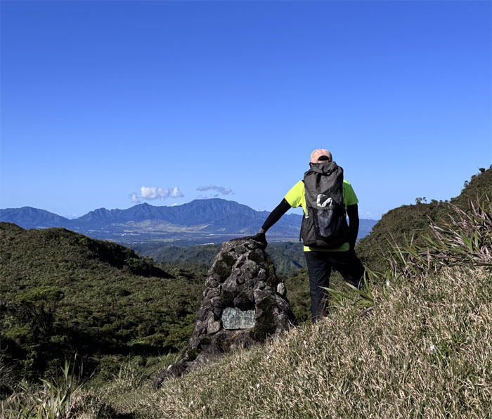
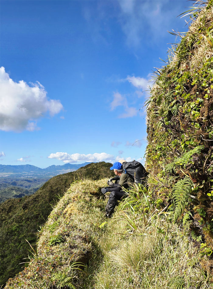
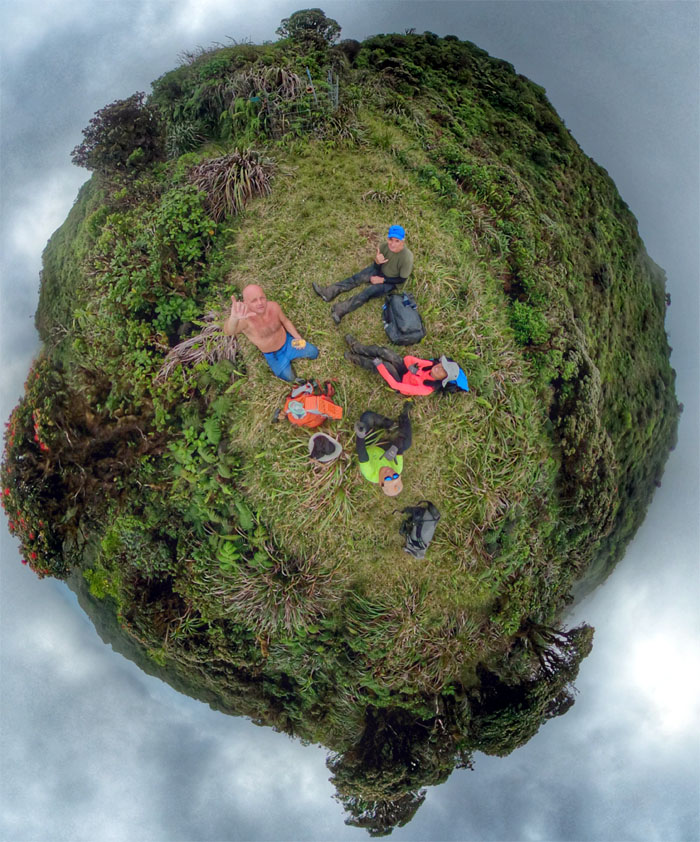
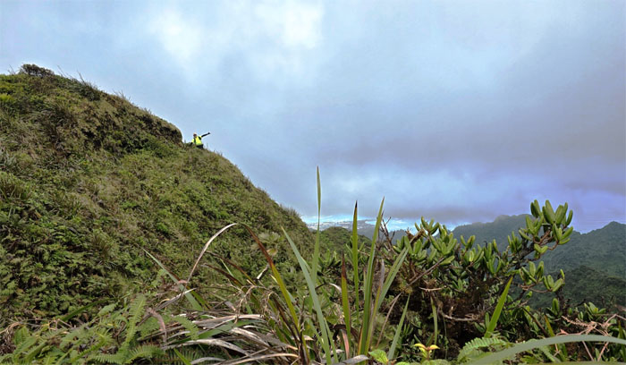
Taking a well-deserved break at the summit.
Resuming our hike on the trail. Roger was probably thinking “what trail?”
The group following in the footsteps of the Civilian Conservation Corps (CCC) that blasted and carved the KST out of the mountains from Black Junction to Kipapa from 1933-1935.
The mostly young men lead by experienced engineers had to work in inhospitable terrain and often in grueling conditions that was marked by low hanging clouds, incessant rain, mud and heavy overgrowth.
The original purpose of building this trail was justified for invasive animal eradication, forestry management and later recreation.
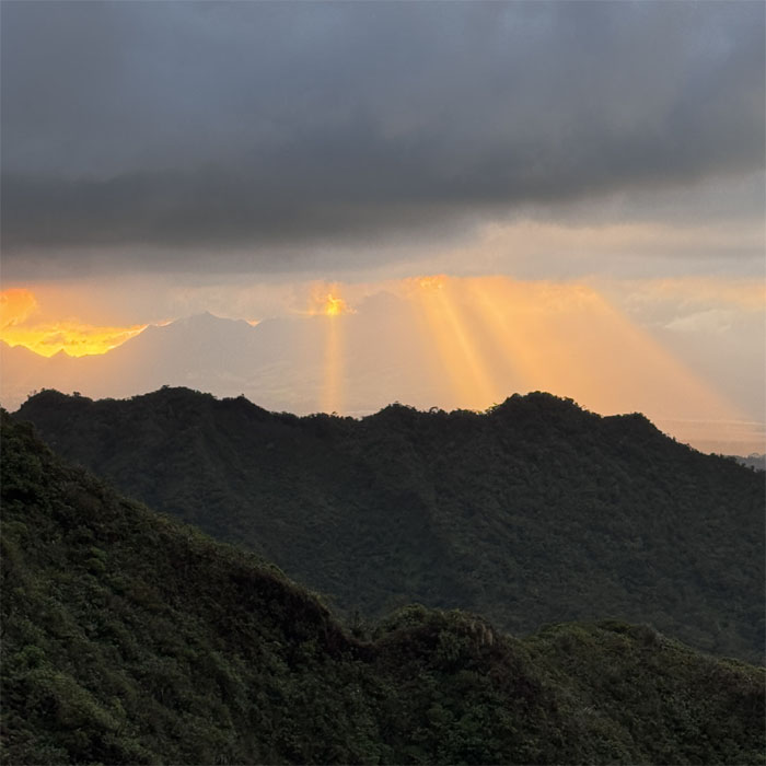
Watching the fiery sunbeams as it slowly washed over the Waianae Mountain Range.
The group climbing in and out of the notch, which meant …
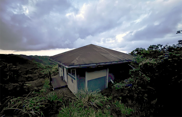
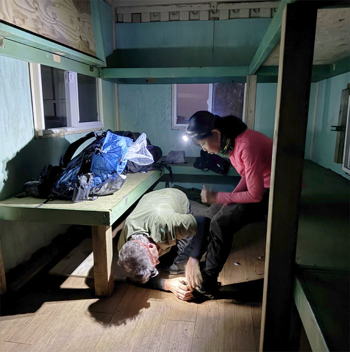
… which meant we were close to our cabin for the night. The door was unhinged and almost fell on me as I turned the doorknob. What a welcoming surprise. The rest of the group wanted to see the cabin from the top before coming down to dry out as best as we could for the night. No one wanted to be a Shithead tonight, so my deck of playing cards stayed in its pack.
Day 2
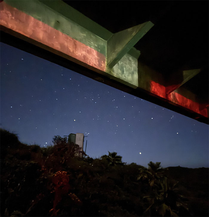
We woke up to starry skies which was a pleasant surprise to me as most of my overnighters were marked by gusting winds and rain and morning clouds.
Once a princess, always a princess in the mountains.
Group photo after we cleaned up the cabin, used the open air outhouse and got ready for another day of mud and more overgrowth.
Mud race anybody? Tradition dies easily in the mountains.
We all enjoyed the mud in our own ways.
The jarhead wanted to take point and show us that he still got it, in terms of land navigation skills. Semper Fi.
Let’s go this way as we don’t want to hike on the Kawailoa Trail. Not today.
Winding our way through the mountains as “The Eddie” was kicking off at Waimea Bay.
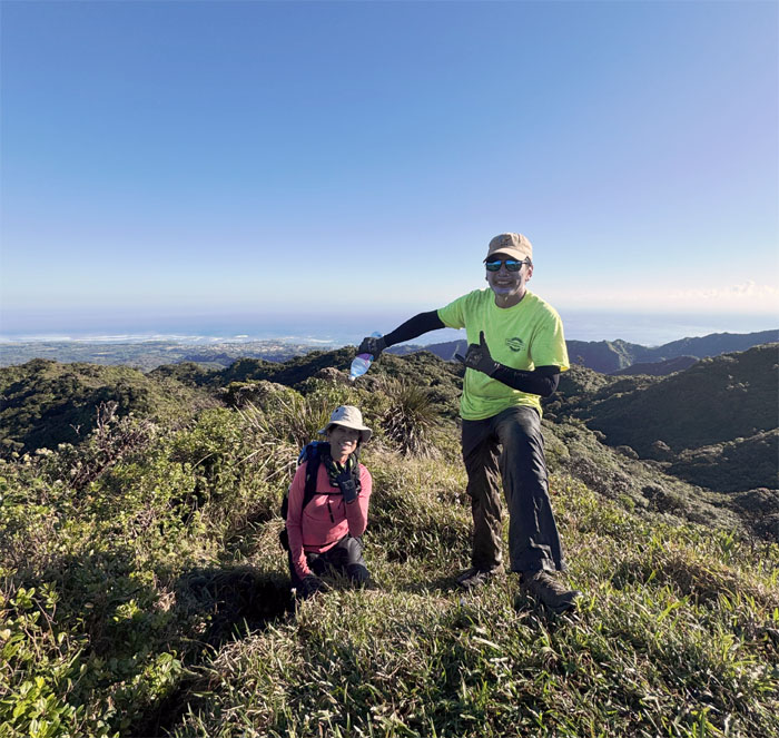
Celebrating Aida’s second KST finish with the non-traditional non-pouring of bottled water. Such a buzzkill.
Leaving the 2,240′ foxhole summit as we made our way to the trail.
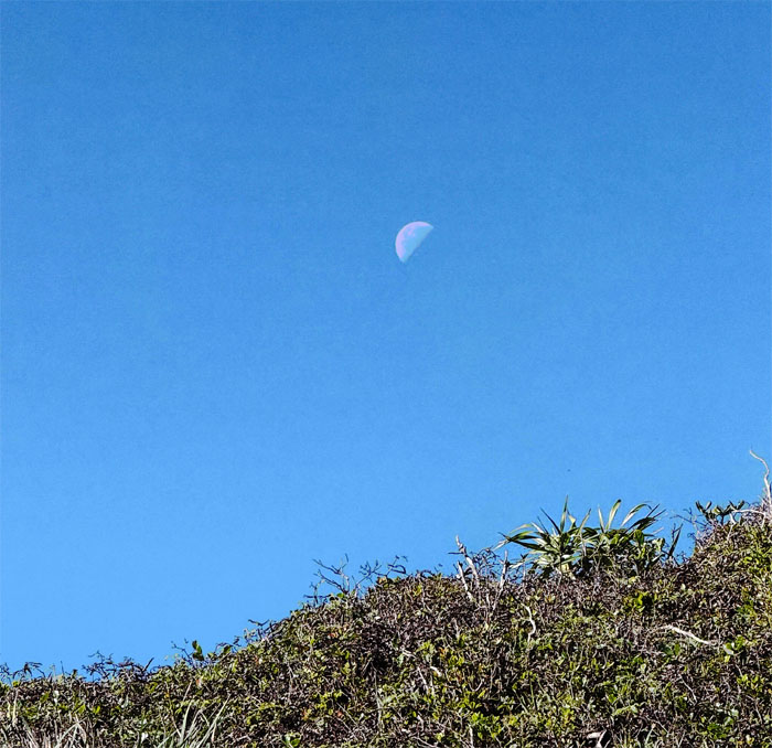
Looking up at the satellite that keeps the tides and ecosystems in check on Earth.
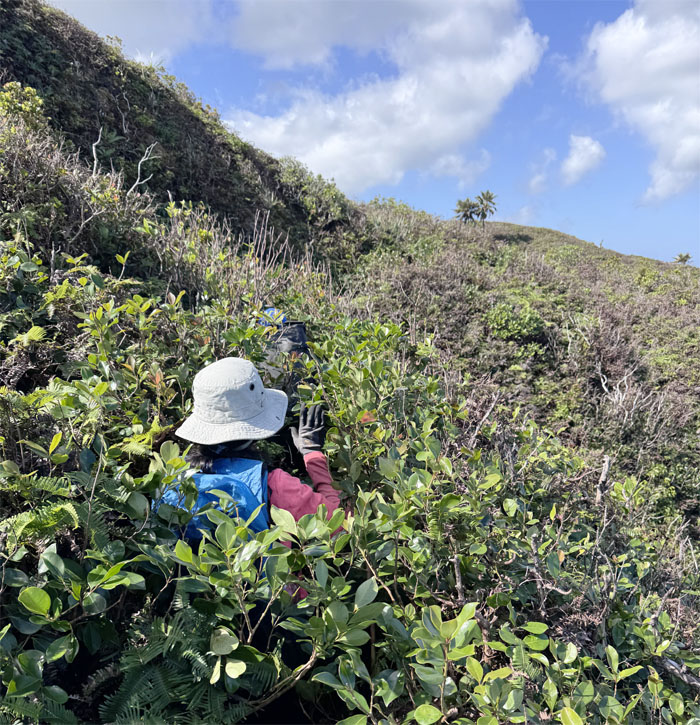
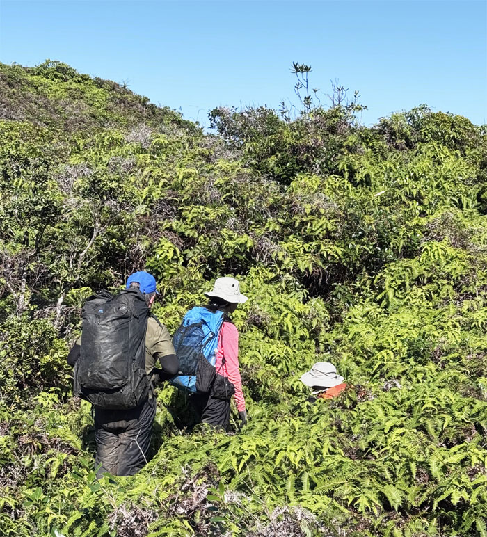
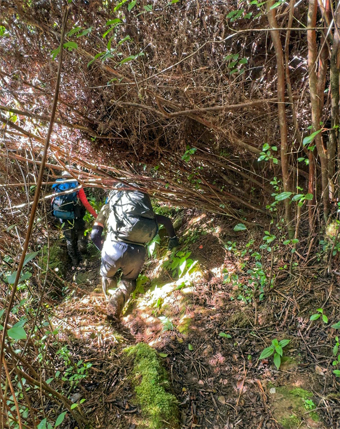
Somebody didn’t believe me when I said the overgrowth would be worse than yesterday and the duration and distance longer. Seeing is believing.
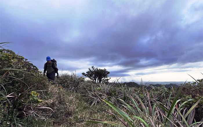
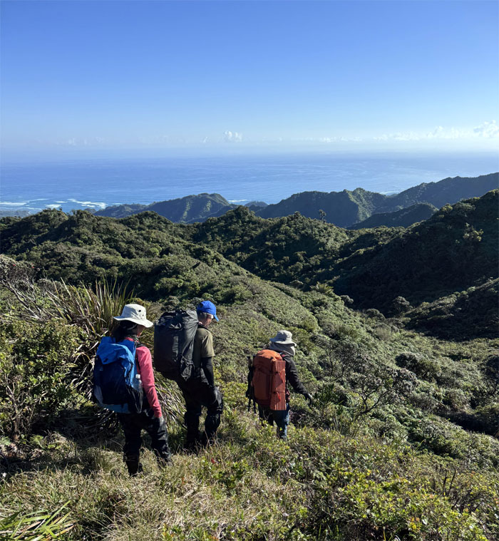
Meandering through the mountains as we spied rows of the single trunked palm tree with fan shaped leaves below us, the endemic loulu palm trees.
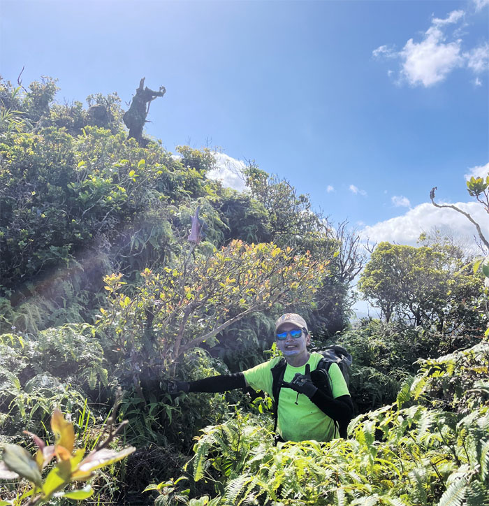
There once used to be an HTMC green wooden sign that marks this spot, now only a friends glove marks the junction.
Round and round we go throughout the mountains. That is why this is called the Ko’olau Summit Trail and not the Ko’olau Summit Ridge Trail.
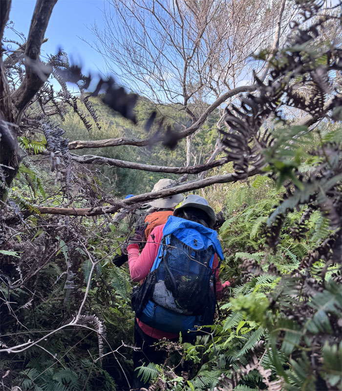
Disappearing into the overgrowth, only to pop up later like so many jack in the boxes.
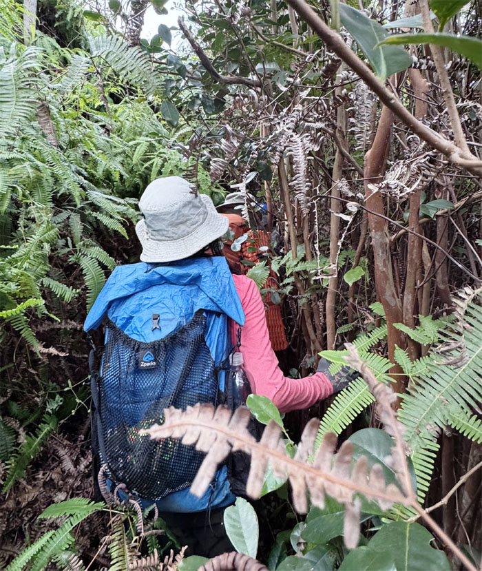
Jeremy was just having a grand ole’ time, wallowing in the overgrowth.
Group photo at what I call the halfway spot on the trail.
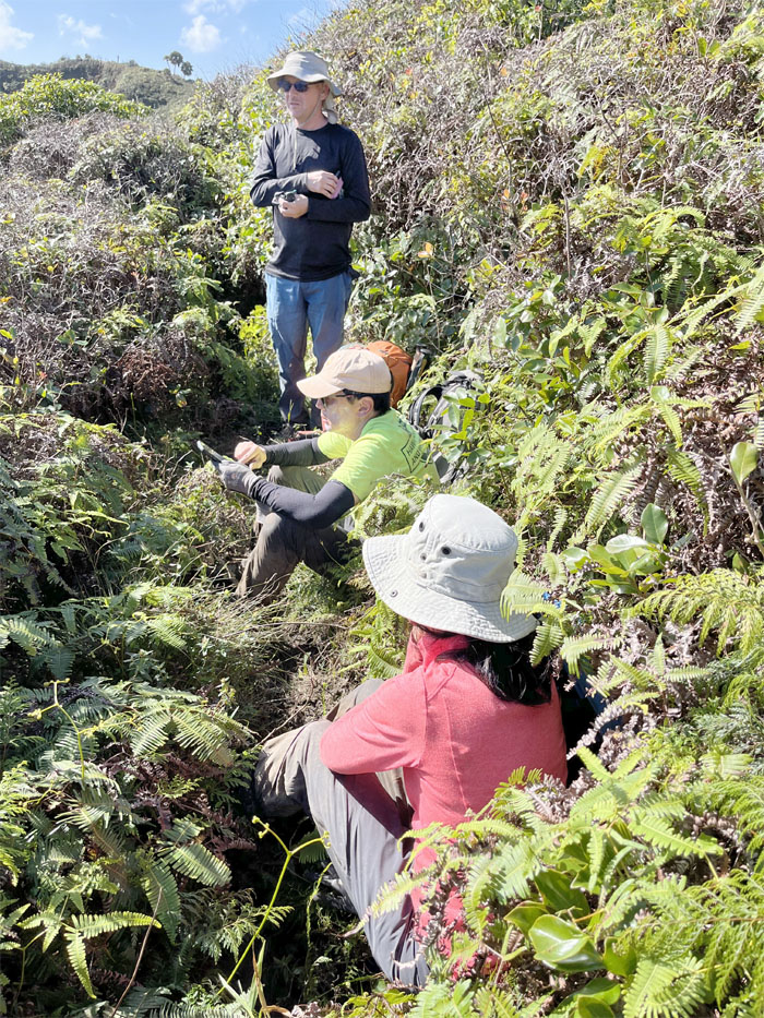
Taking our lunch break, further down the trail and away from the mud pits.
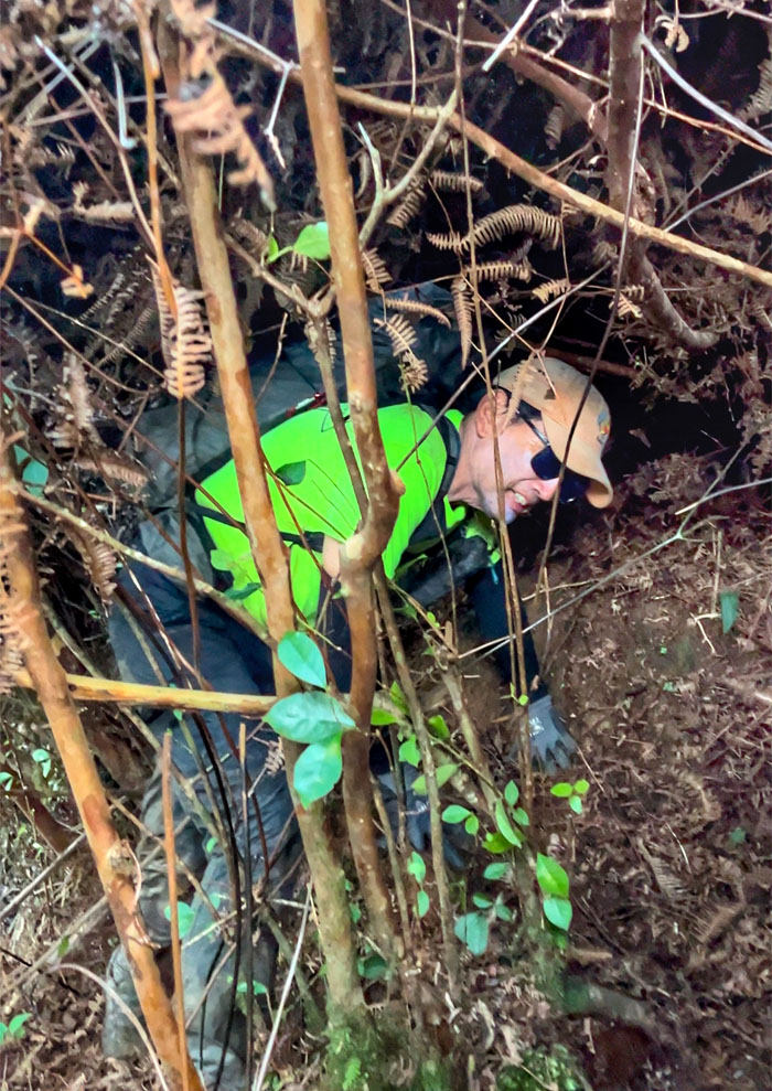
Pays to be limber and flexible on this trail.
Who brought the machete? Crickets.
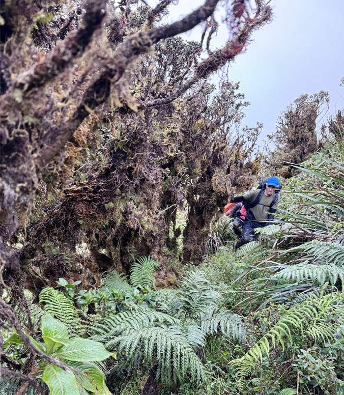
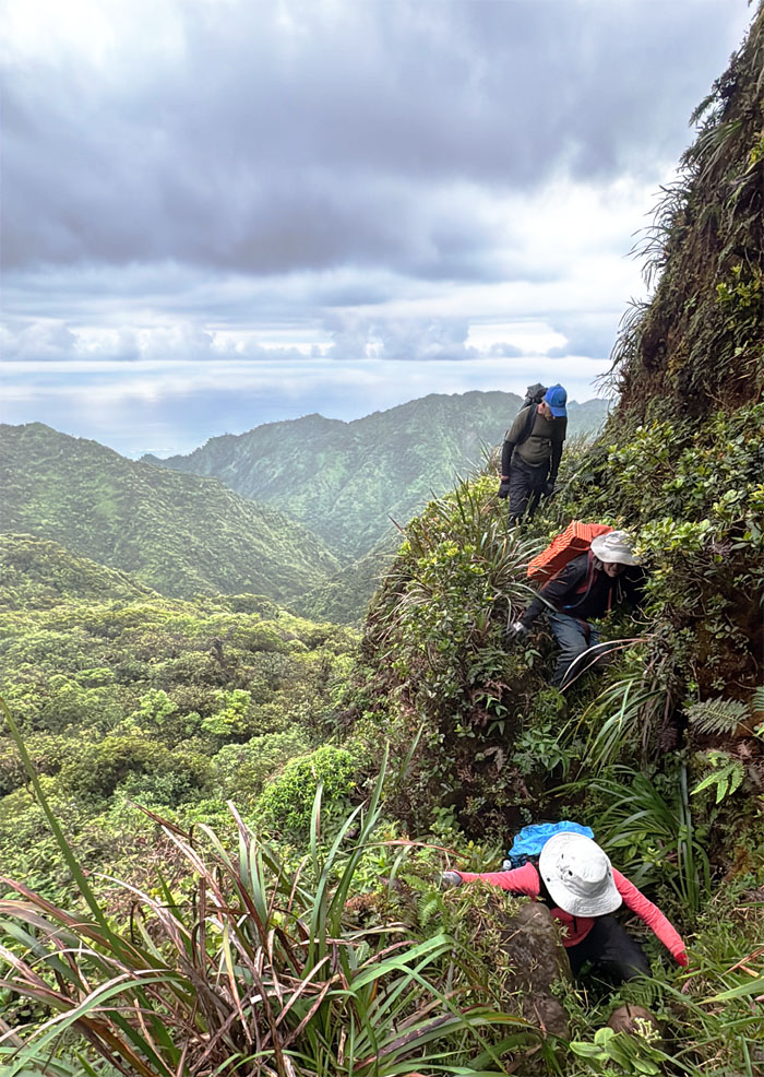
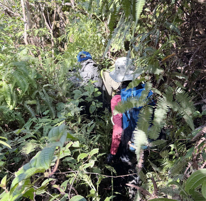
Crawling and scrambling our way through the often dense overgrowth.
Overgrowth all day and then some. No exaggeration.
Enjoying the city lights from the summit of Pupukea.
We reached the end or start of the KST. It also marked my #18 passage across the dormant fragmented shield volcano. Yes dormant, not extinct.
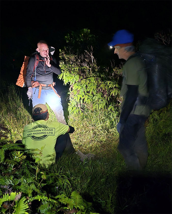
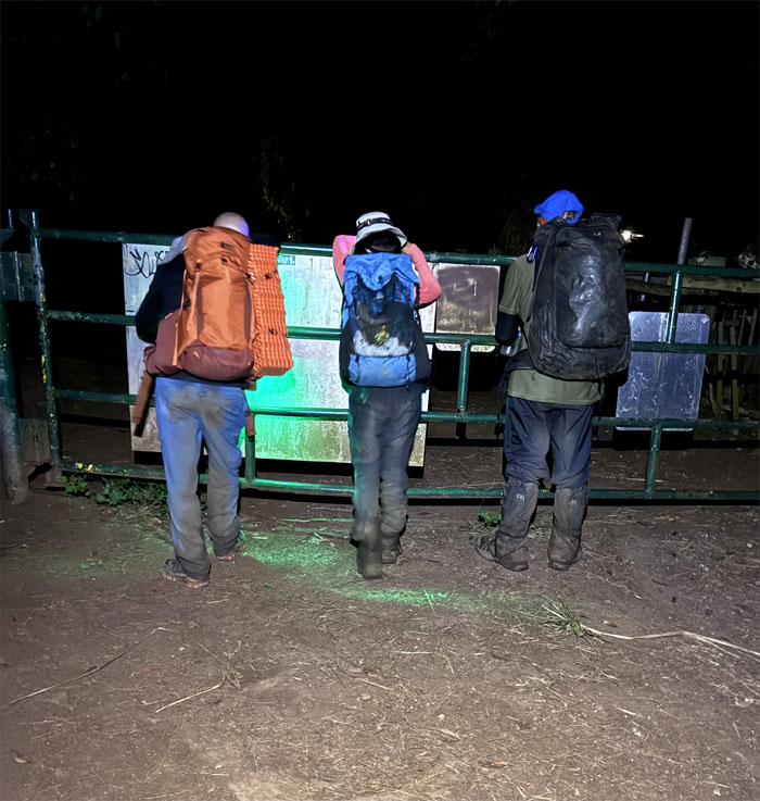
The yellow gates near Camp Pupukea did not mark the end of our hike. We still had another mile to walk to Jeremy’s car. 1.2 miles to be exact. Shall we call Uber? Don’t bother. Nobody’s going to come. Let’s start walking and get this night over.
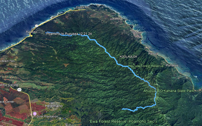
Our weekend camping hike covered 19.46 miles through mud, overgrowth and mountainous scenery. Congratulations to Aida for finishing the KST for her second time. Fun times with a good group of friends. Post hike meal at Jack in the Box. In the parking lot.
Photos taken by Aida Gordon, Jeremy Cannone, Roger Schiffman, and yours truly. Not necessarily in order.
Note: I have been made aware that some hikers have been using my blog as a hiking guide and getting lost on the trails. Please note that this blog was made to document the hike for the crew(s) that did it. That is why some of my comments will seem to have no relevance or meaning to anybody outside of the crew(s) that hiked that trail. My blog was never meant as a hiking guide, so please do not treat it as such. If you find inspiration and entertainment from these hikes, that is more than enough. If you plan on replicating these hikes, do so in the knowledge that you should do your own research accordingly as trail conditions, access, legalities and so forth are constantly in flux. What was current today is most likely yesterdays news. Please be prepared to accept any risks and responsibilities on your own as you should know your own limitations, experience and abilities before you even set foot on a trail, as even the “simplest” or “easiest” of trails can present potential pitfalls for even the most “experienced” hikers. One should also always let somebody know of your hiking plans in case something doesn’t go as planned, better safe than sorry.




{ 2 comments… read them below or add one }
So many things I never knew about the sections we hiked through. Even if this is the 2nd time. Thanks for guiding us through another multi day hike and also for my 2nd KST finish. I do not need a 3rd, tha k you very much! Lol.. Congratulations on your 18th although I don’t know how you keep doing it. My damp feet was so sore by the time we hit the road…so glad we got down safely that night with pr without going through the gulch! Fun times despite the mud and overgrowth.
Aloha Aida,
Congrats again for your second and last KST finish. LOL.
Mahalo