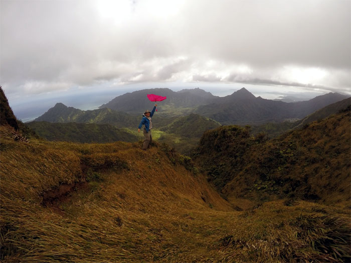
The mountains were calling. The weather was close to picture perfect. We must go hiking.
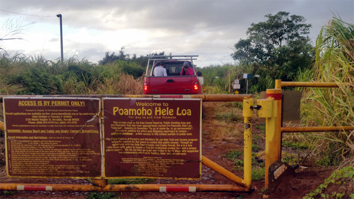
Permit and 4×4 ride in hand, I met up with Agnes, Chris, Glenn and Ryan in Wahiawa. Shout out to Zack for picking us up and driving up the road. Mini-van would not have cut it.
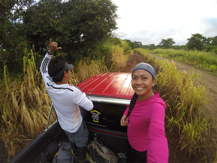
Enjoying the bumpy ride and fresh air. Photo by Agnes Bryant.
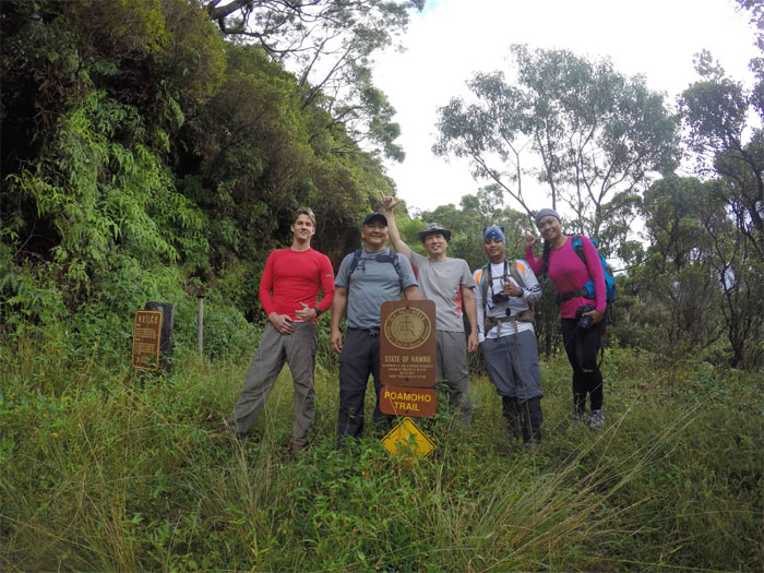
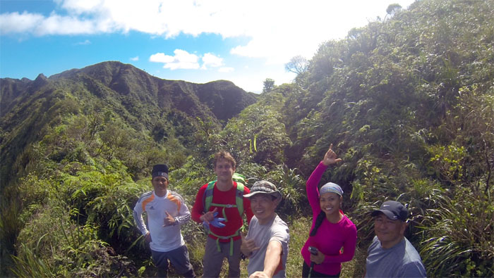
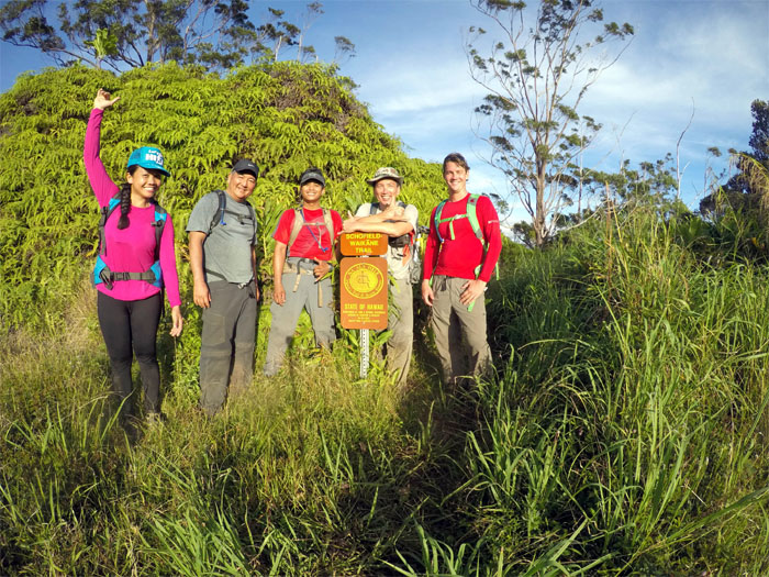
Group photo left to right: Ryan, Glenn, myself, Chris and Agnes.
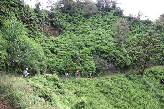
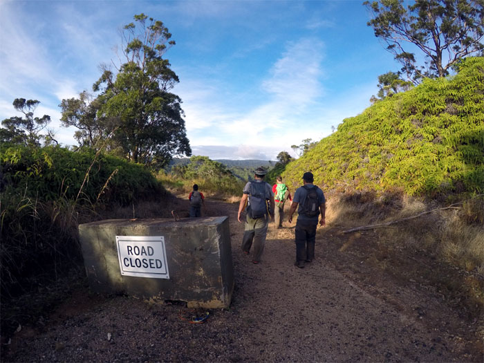
The group making their way on the mostly graded trail. Photo by Agnes Bryant.
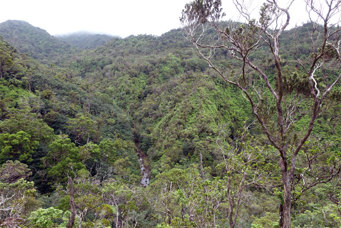
Looking down into Helemano Stream?
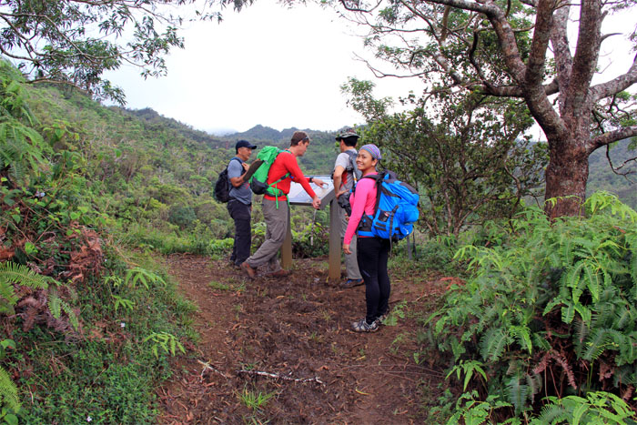
We are here. Photo by Chris Bautista.
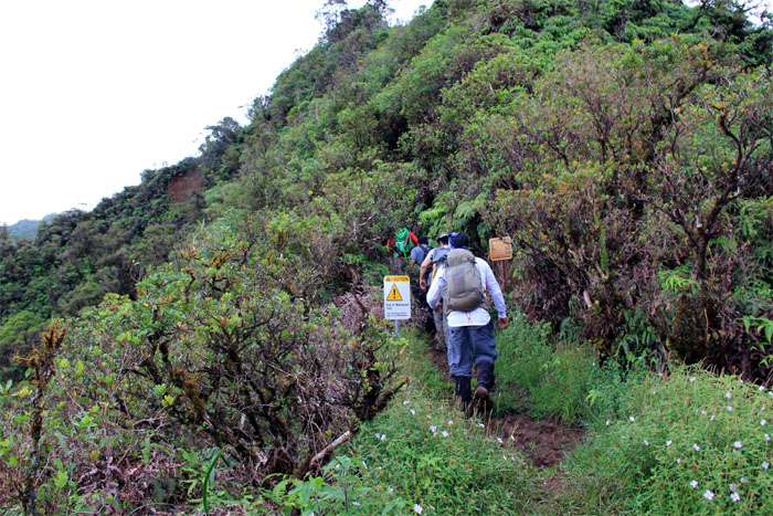
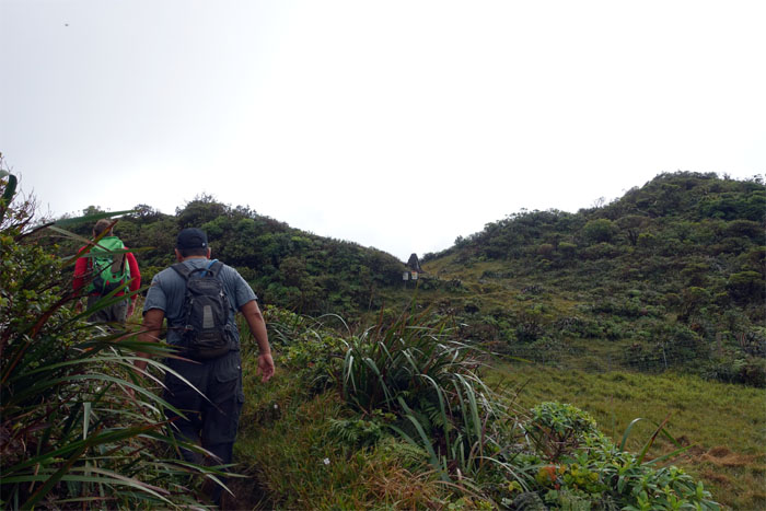
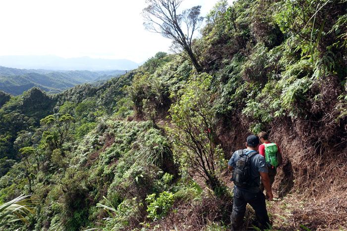
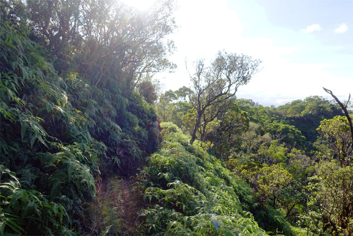
Hiking into unmaintained territory. Photo by Agnes Bryant.
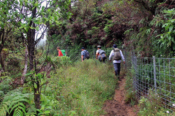
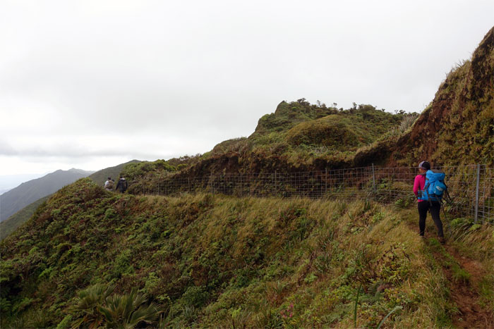
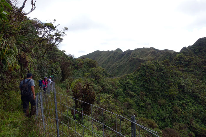
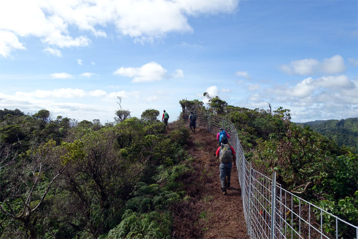
Following the fence. A more and more common theme hiking in the mountains as of late. Photo by Agnes Bryant.
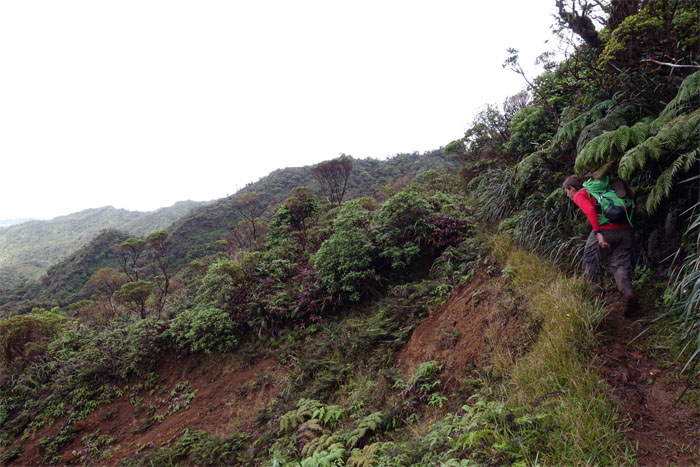
Ryan passing over the landslide area.
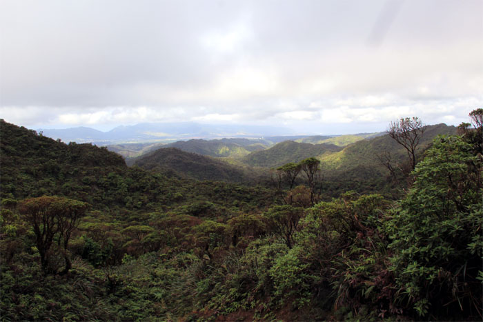
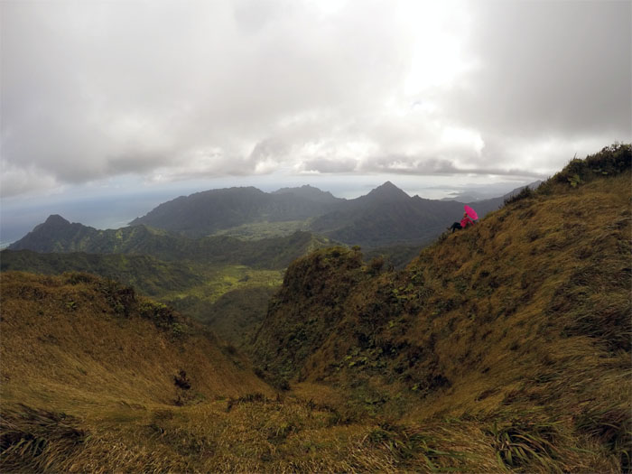
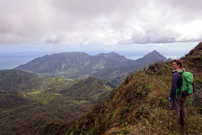
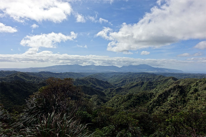
Scenic view. One of many more to come. Photo by Agnes Bryant.
Heading into a small gulch. Photo by Agnes Bryant.
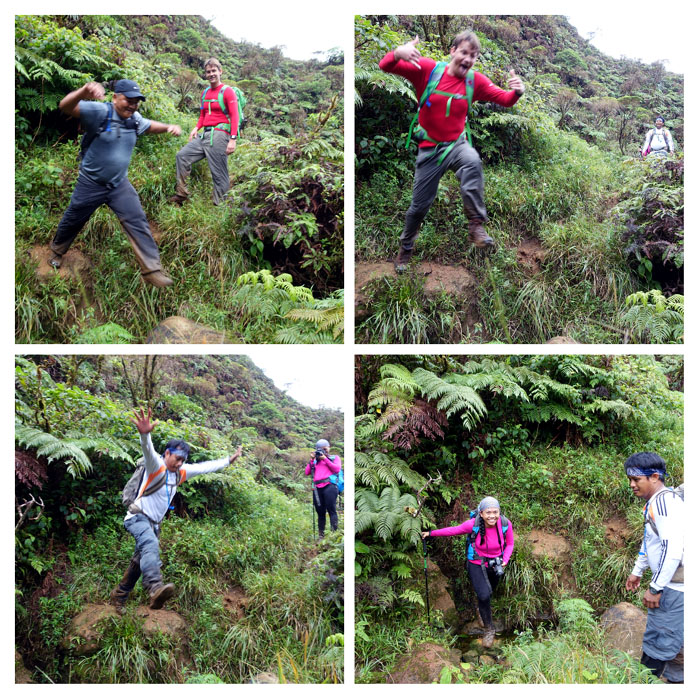
Stream crossing and jumping.
Ryan and Glenn approaching the Clines Memorial.
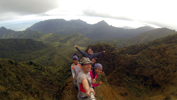
Group photo at one of the best summit views on the island.
Jurassic.
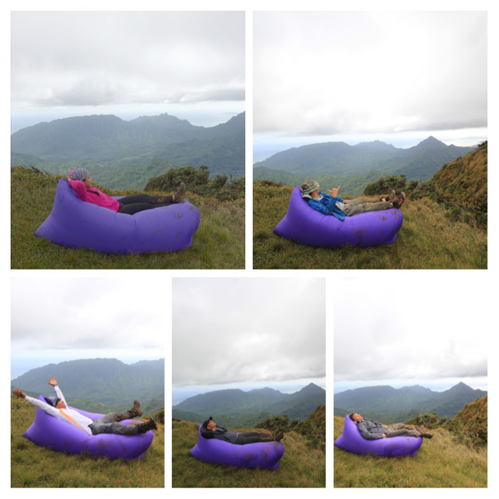
Fun with air bag …
… and umbrella. Props supplied by Agnes. Photo by Chris Bautista.
Fun and games were over. Time to head to the cabin.
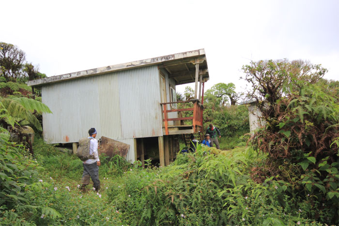
Cabin spotted. Photo by Agnes Bryant.
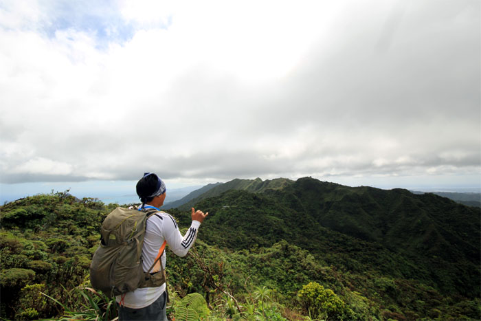
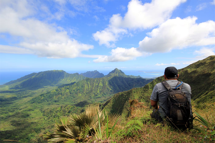
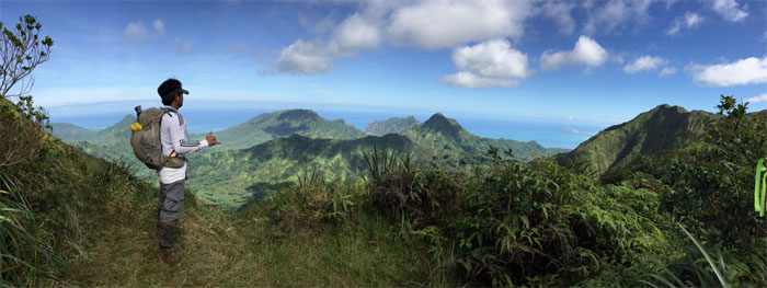
Ryan soaking in the views. Jurassic.
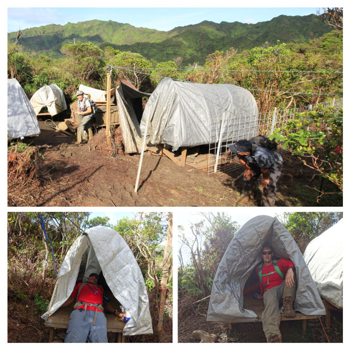
The cabin, built in 1998, is still holding up remarkably well. Photo by Agnes Bryant.
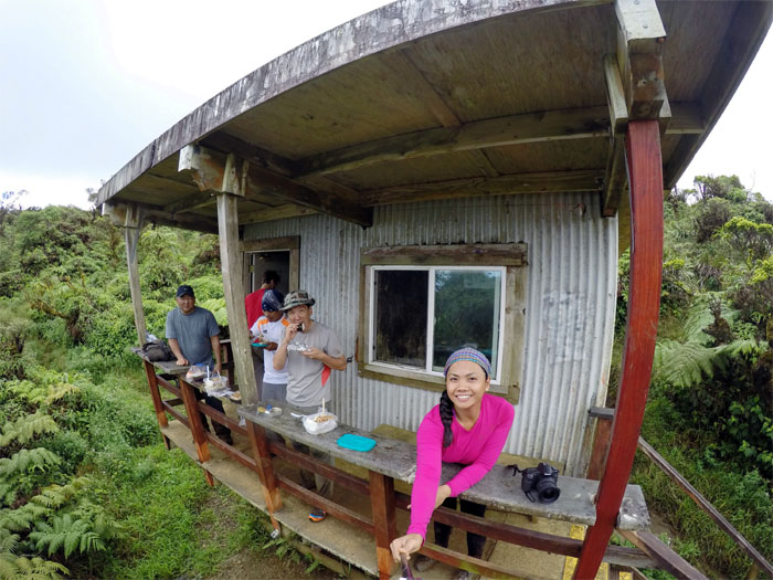
Lunch time, straight from OCCC. Shoyu chicken, hard boiled eggs and rice. Salamat. Photo by Agnes Bryant.
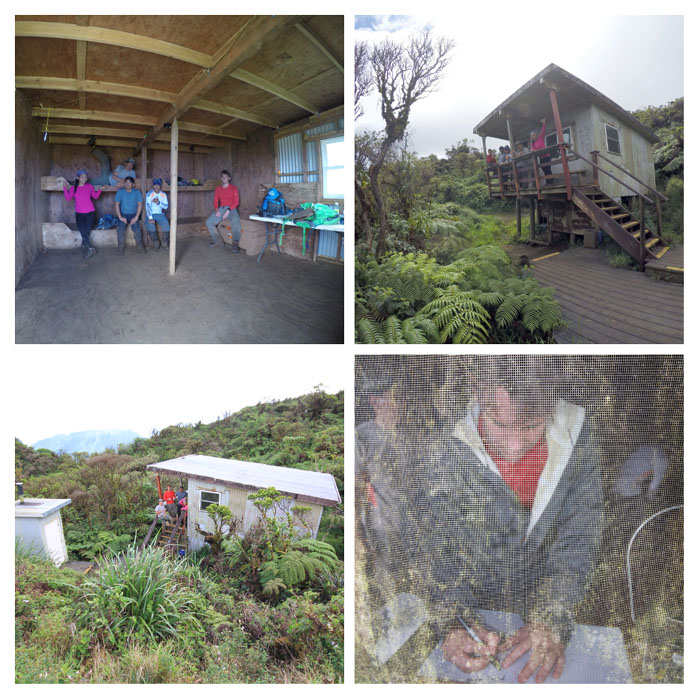
Cabin life. Photos by Agnes Bryant and Chris Bautista.
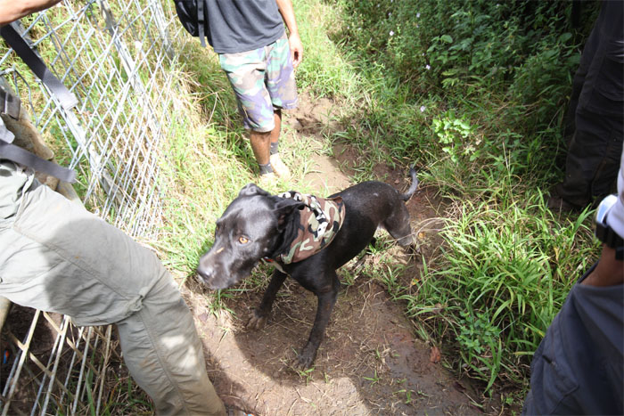
We took our leave of the cabin as another group of hikers, two legged and four legged, arrived at the fence. Photo by Agnes Bryant.
Back on the fence line. Not for long.
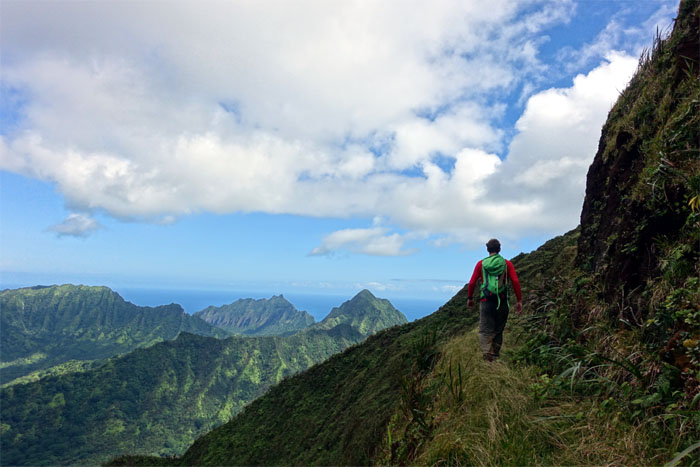
Chris on the Ko’olau Summit Trail. It was so blue blue.
Heading towards the notch.
We all had to stop every now and then on the trail and take home photographic memories. It was so clear.
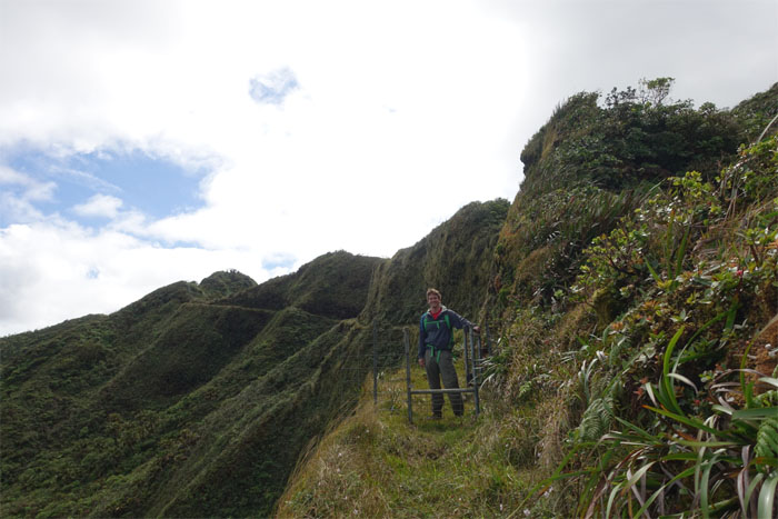
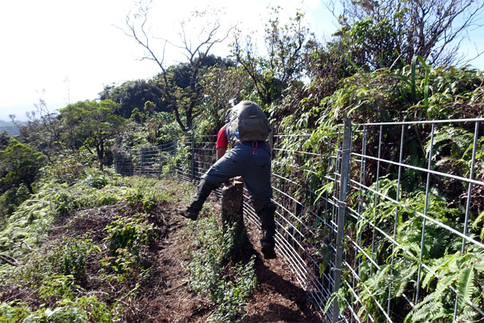
Ryan at the last fence gate on the KST. For now.
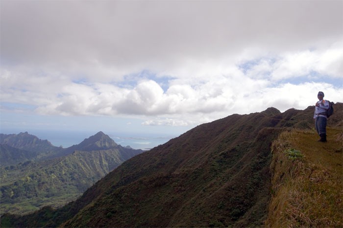
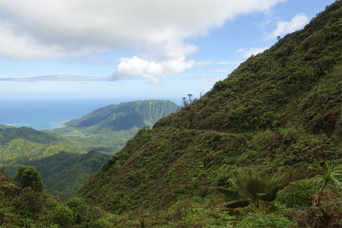
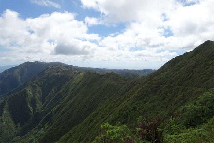
Panoramic view. Just stunning scenery all around.
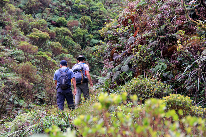
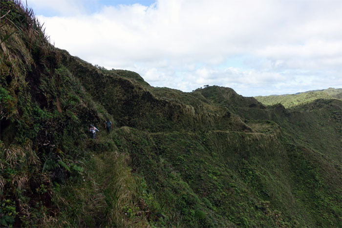
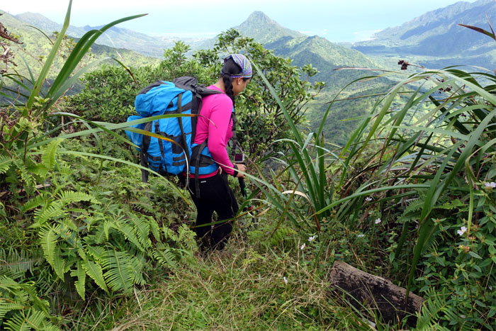
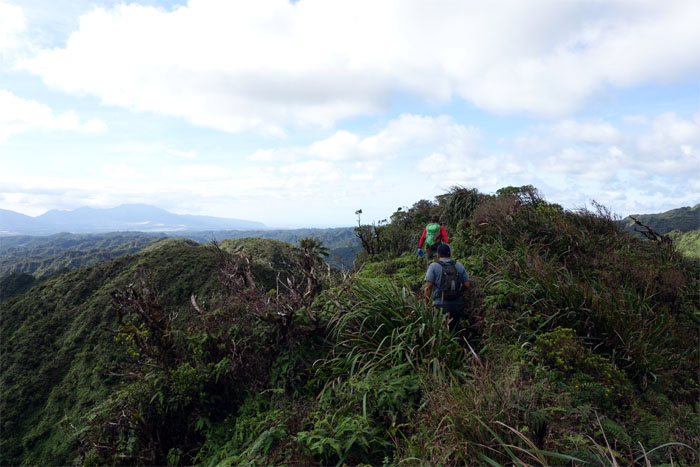
Chris and Glenn making their way on the trail.
Agnes “slow my butt” Bryant in the front of the pack.
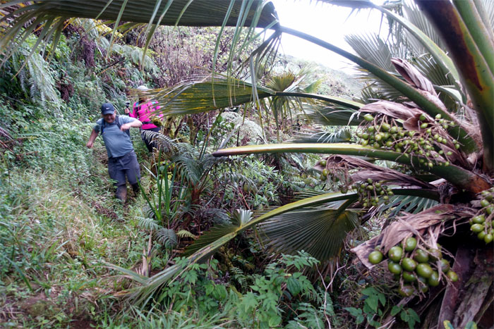
Glenn and Agnes brushing past a clump of loulu palm trees.
Long ungraded five mile trail down into Kahana Valley.
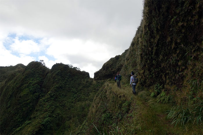
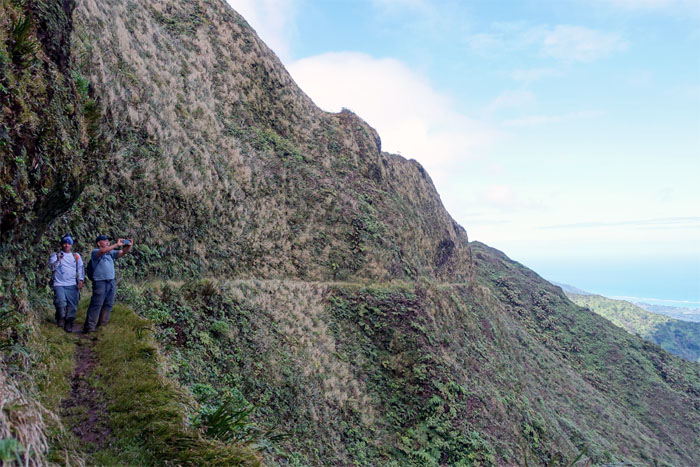
The trail that was dynamited and dug out by the Civilian Conservations Corps (CCC) back in the 1930s.
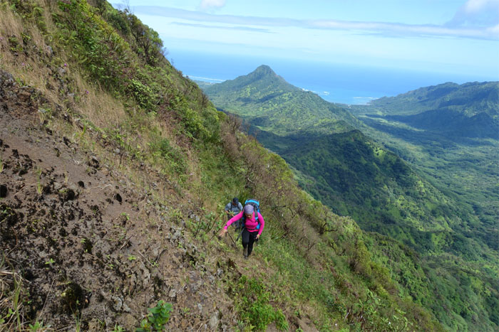
Agnes and Glenn making their way up and over the landslide section of the trail.
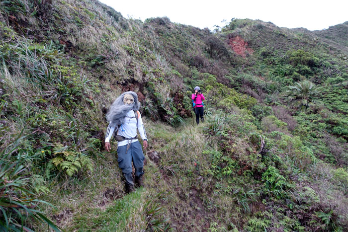
Don’t look back. Think we picked up a hitch hiker.
I’m not even on Facebook. Photo by Agnes Bryant.
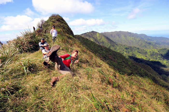
Ryan working out a cramp or practicing his kung fu kick. Photo by Agnes Bryant.
Ryan closing the distance to the junction.
Group photo at the Schofield-Waikane Junction.
Chris leaving behind the scenic Windward views. Photo by Agnes Bryant.
False summit with stunning views of the entire Waianae Mountain Range.
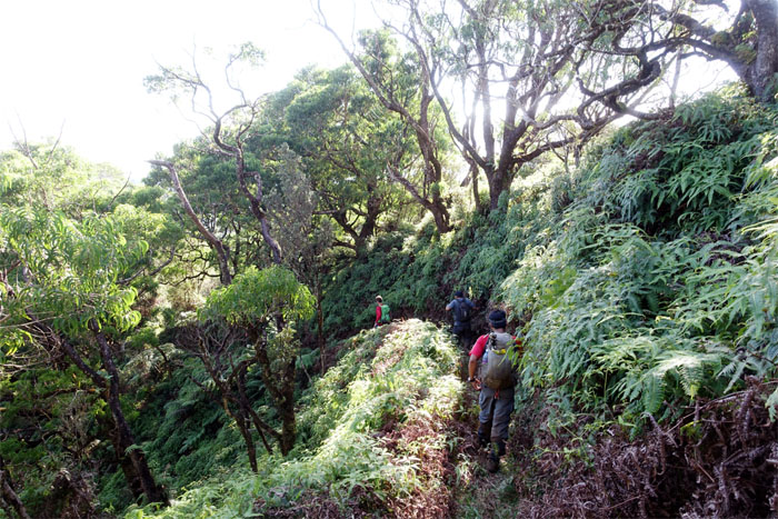
Ryan and Glenn making their way down the six mile trail …
… which was recently cleared by the HTMC trail clearing crew.
Following the fence line down while dodging errant pick axes.
Camp life. Pounding fence stakes is hard work. Just ask Ryan.
Stump hopper.
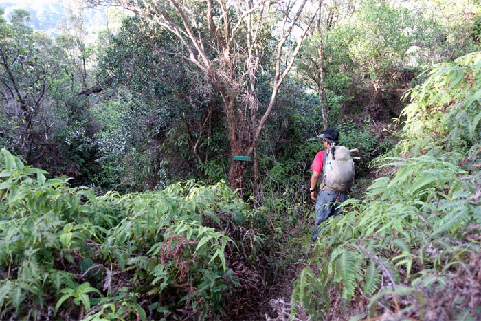
The trail switched to the right …
… and then back to the left.
What stream? Let’s keep moving. We have water.
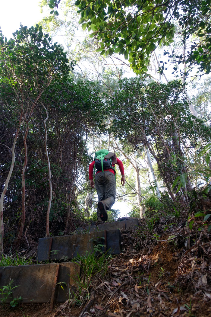
Ryan going up the steps and out to …
… the trail sign. Group photo by Agnes Bryant.
Auto pilot going down the numbing road. One foot in front of the other. Repeat. Photo by Agnes Bryant.
What birds?
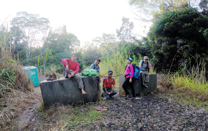
Ryan transitioning from shoes to slippers. Why didn’t we think of that? Group photo by Agnes Bryant.
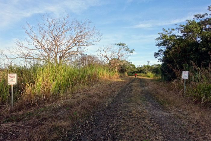
Let’s double time it out of here.
The sun was still out. Our cars were still where we left them. Life was good.
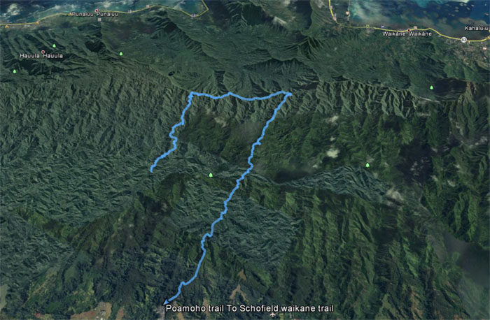
Our superbly stunning hike covered 12.51 miles through spectacular scenery. Great time with good friends. Post hike meal at Pho King. I should have had the phoking pho instead.
Note: I have been made aware the some hikers have been using my blog as a hiking guide and getting lost on the trails. Please note that this blog was made to document the hike for the crew(s) that did it. That is why some of my comments will seem to have no relevance or meaning to anybody outside of the crew(s) that hiked that trail. My blog was never meant as a hiking guide, so please do not treat it as such. If you find inspiration and entertainment from these hikes, that is more than enough. If you plan on replicating these hikes, do so in the knowledge that you should do your own research accordingly as trail conditions, access, legalities and so forth are constantly in flux. What was current today is most likely yesterdays news. Please be prepared to accept any risks and responsibilities on your own as you should know your own limitations, experience and abilities before you even set foot on a trail, as even the “simplest” or “easiest” of trails can present potential pitfalls for even the most “experienced” hikers.


{ 2 comments… read them below or add one }
Amazing post! Would you mind writing a review of the trail and uploading some photos of it here: https://lookintohawaii.com/hawaii/48959/poamoho-trail-activities-oahu-wahiawa-hi
Aloha Beth,
Thanks. However, as I stated before, unfortunately I don’t have the time to duplicate my posts and you are more than welcome to link to my blog.
Mahalo