
Camping plans got shelved so it was off to hike the highest peak on Oahu today.
Waianae Kaala Trail
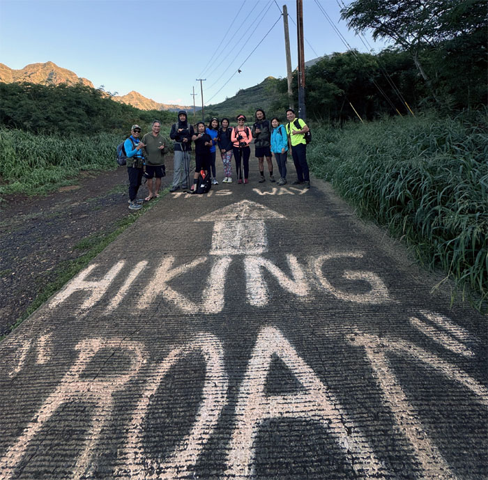
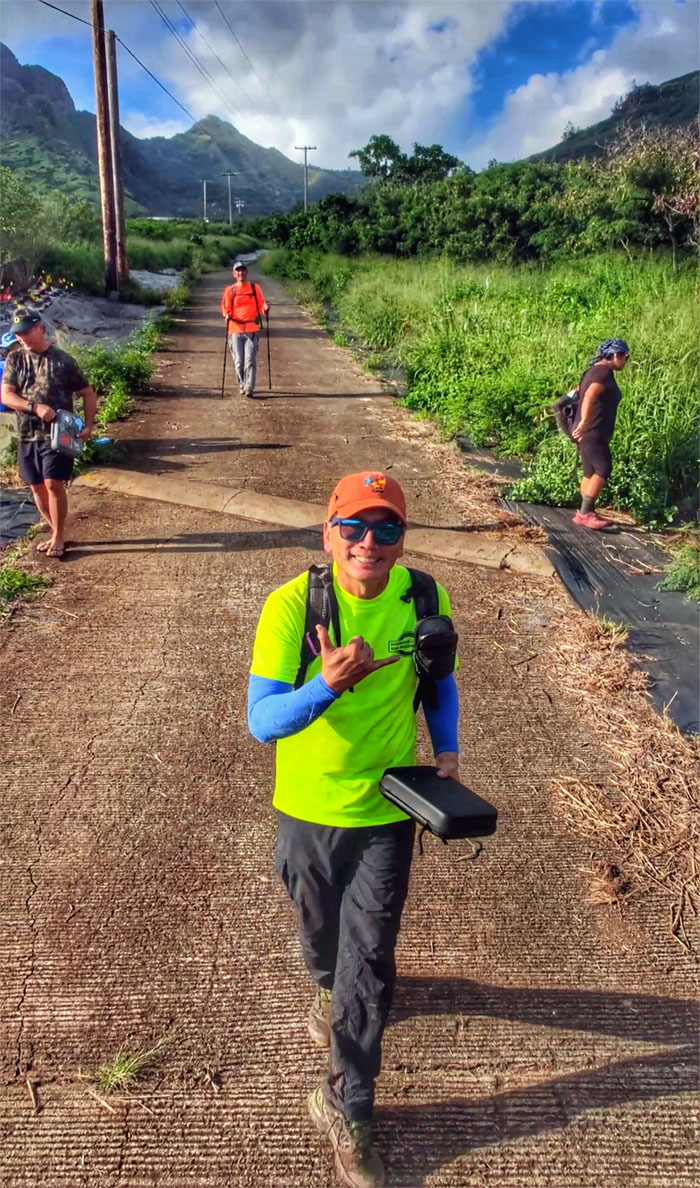
Thanks to Edgar and Jasmin for shuttling us to the valley of stripped cars, stray dogs and stealers.
Waianae Kaala Trail
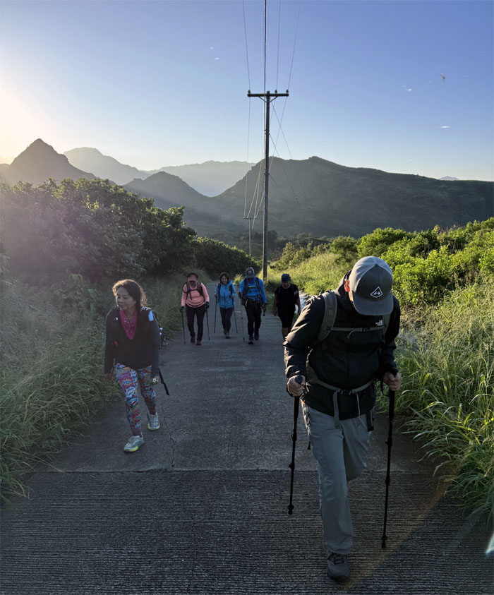
Walking up the road that is nobody’s friend.
Waianae Kaala Trail
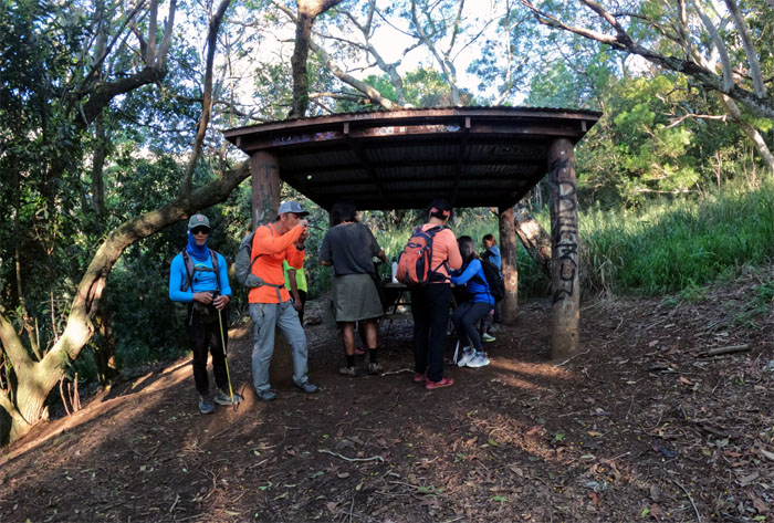
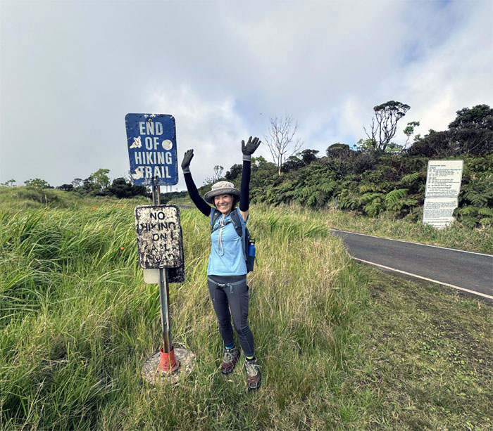
End of the road and start of the trail.
Waianae Kaala Trail
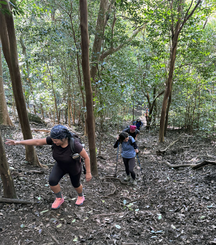
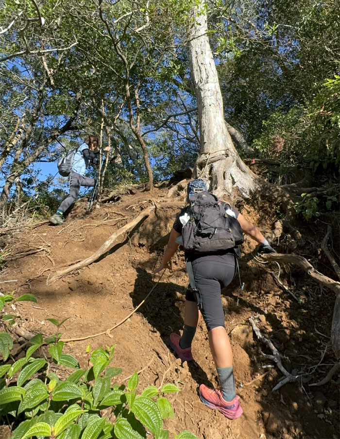
Going up the steep leaf carpeted hill for our morning cardio.
Waianae Kaala Trail
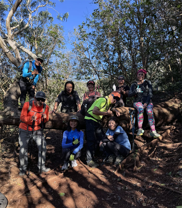
Group photo at the horizontal leaning tree, which is a position some in the group wanted to assume.
Waianae Kaala Trail
We’ve only just begun to hike
Sunscreen and bug spray
A deep breath and we’re on our way
We’ve only begun
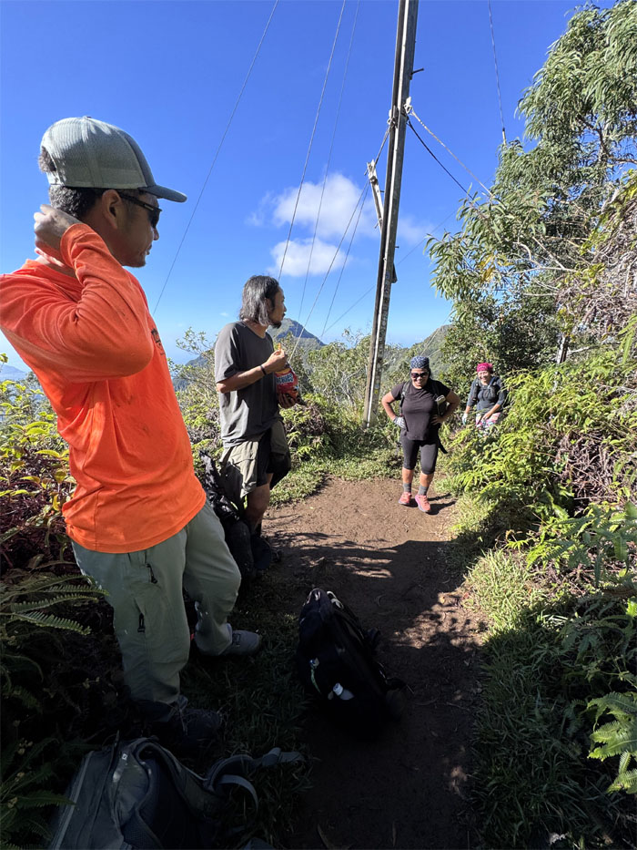
Three Poles
Taking a rest after all that elevation gain. We still got roughly 1,300′ more of climbing to do.
Waianae Kaala Trail
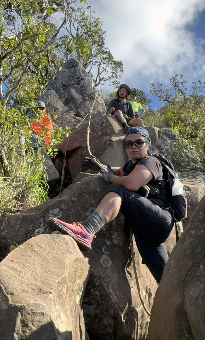
Tessa making short work of the jumbled rocks with short legs.
Waianae Kaala Trail
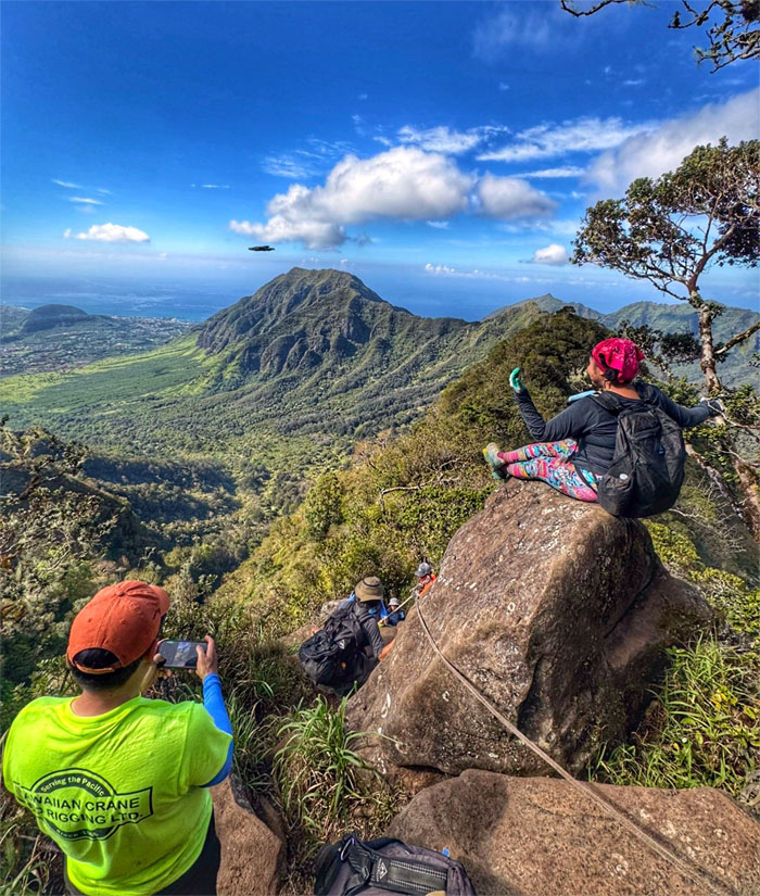
Flying the drone to get a birds eye view.
Waianae Kaala Trail
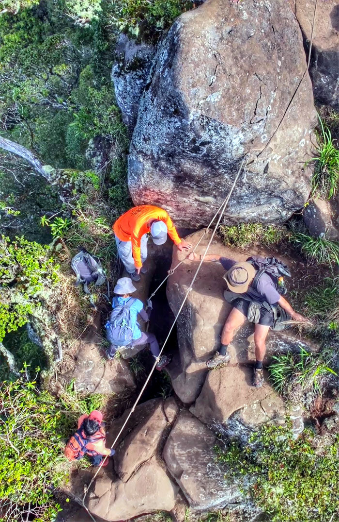
It takes a group to raise a friend.
Waianae Kaala Trail
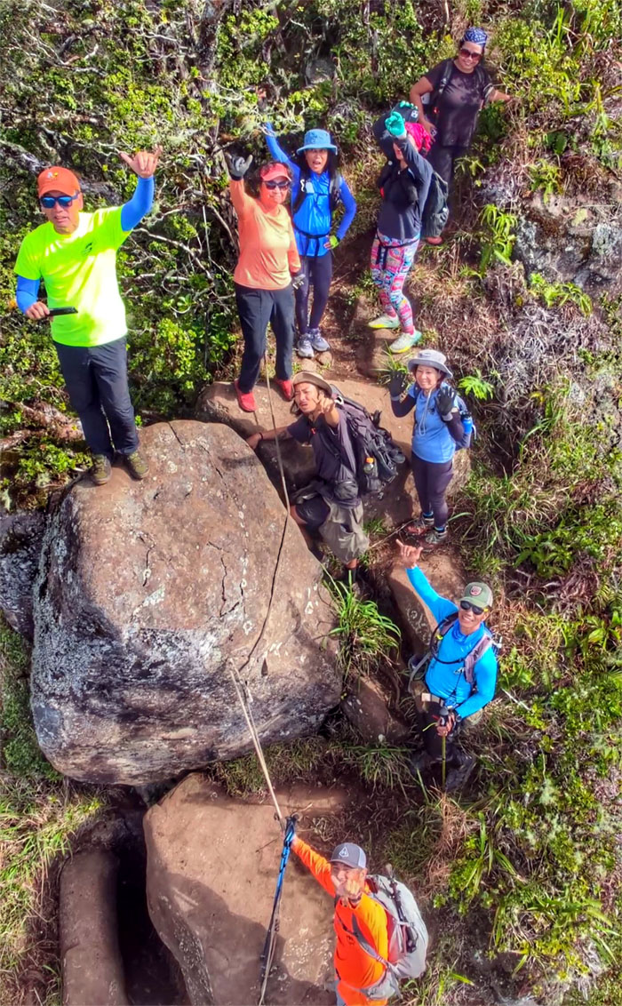
Our group photo on top of the rocks. Shaken, not stirred.
Waianae Kaala Trail
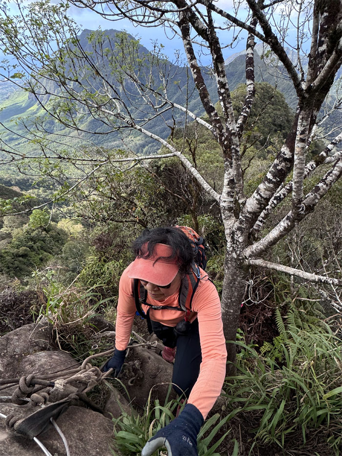
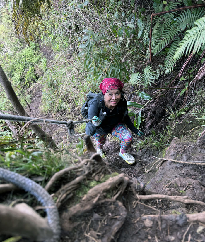
Robin climbing up the trail from an approach she has never done before. First time for everything.
Waianae Kaala Trail
Mari climbing up the ladder on the second set of jumbled rocks found on the trail.
Waianae Kaala Trail
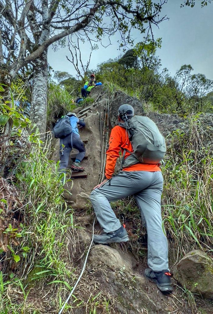
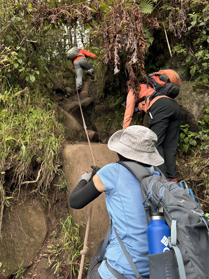
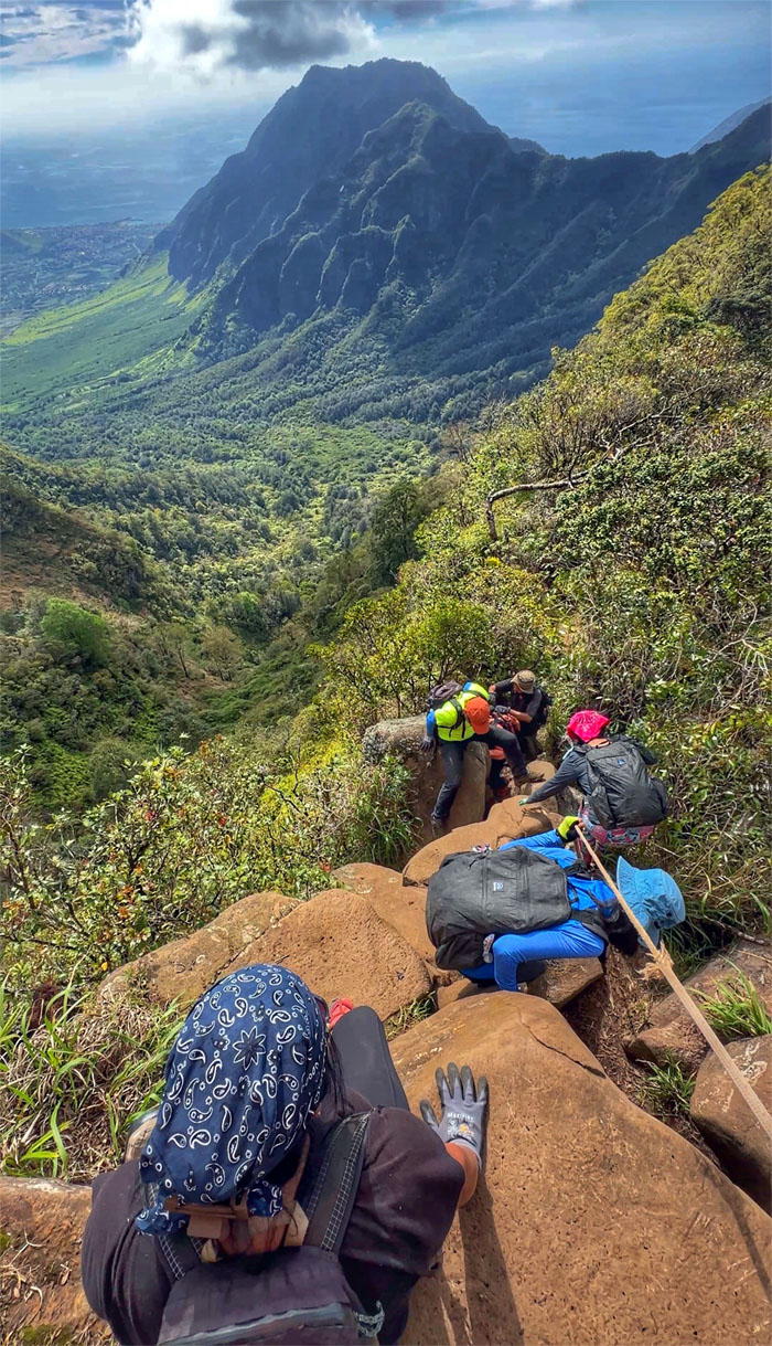
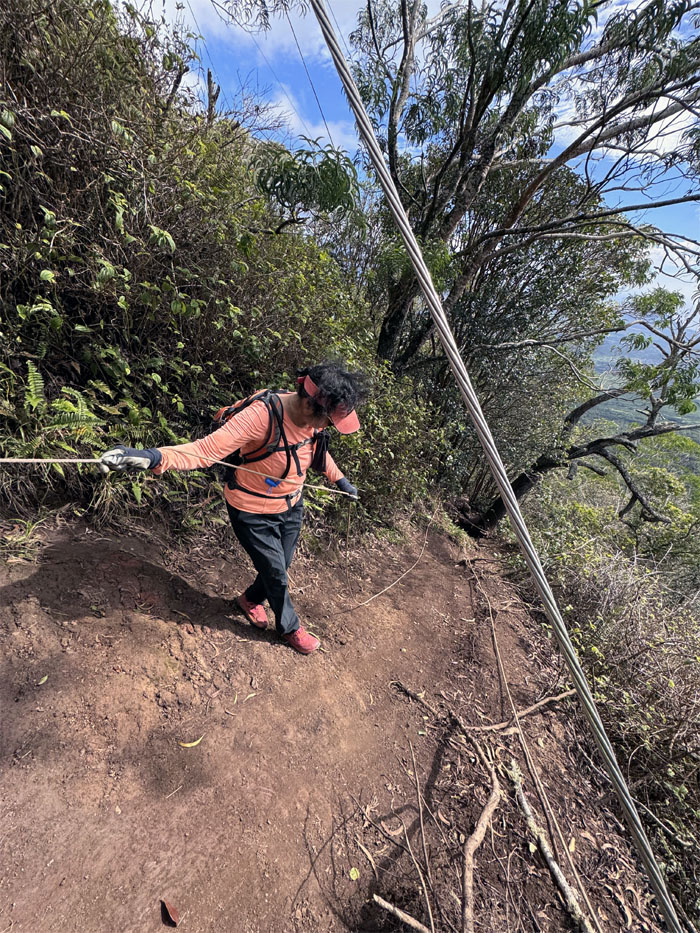
The group going up the long stretch of rope and rocks.
Waianae Kaala Trail
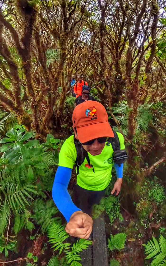
Not out of the woods yet.
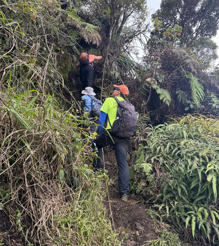
Waianae Kaala Trail
Looking for those native snails. I saw one on this very same tree on one of my last visits. I guess they moved on.
Waianae Kaala Trail
Pop! Boom! Bang! That’s how Cristy hikes. Or at least that’s how her pants rolls.
Waianae Kaala Trail
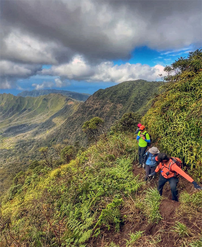
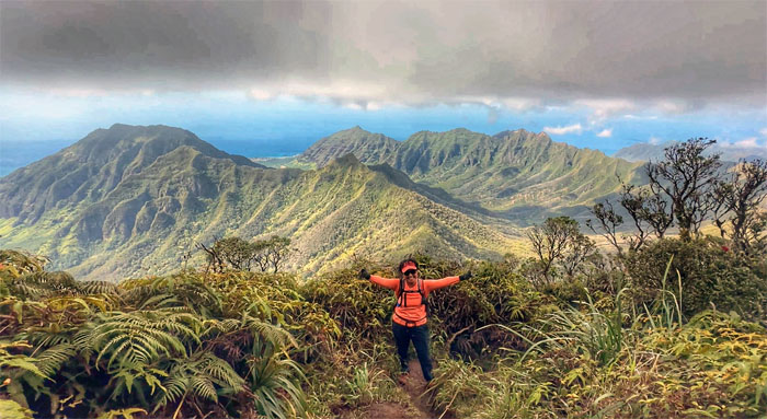
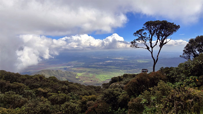
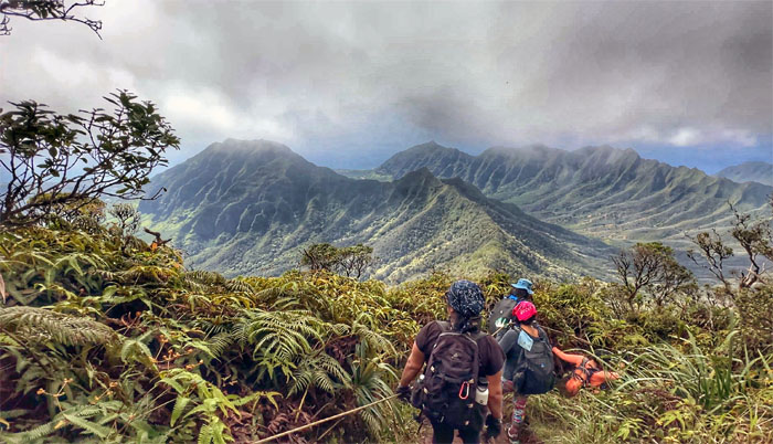
Robin with the panoramic background the valleys and ridges behind her.
Waianae Kaala Trail
Exhaled condensation became visible due to altitude, temperature and humidity levels. Photographic evidence did not manifest itself unfortunately.
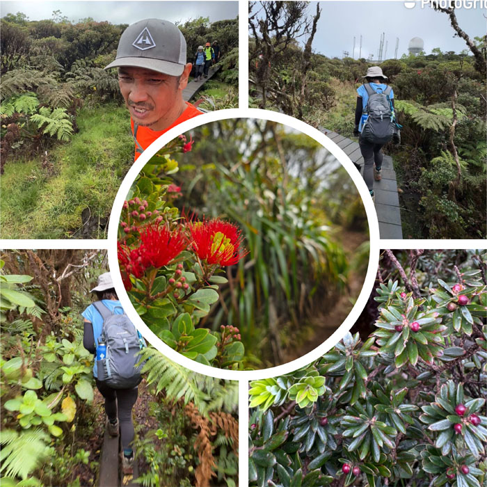
Mount Ka’ala Bog
Meandering our way through the 1/4 mile boardwalk that protects the 1,100 acres of the native ecosystem of plants and animals.
Mount Ka’ala
Congratulations to Mari for completing the climb to the highest peak on the island that sits at 4,025′ above sea level.
Mount Ka’ala
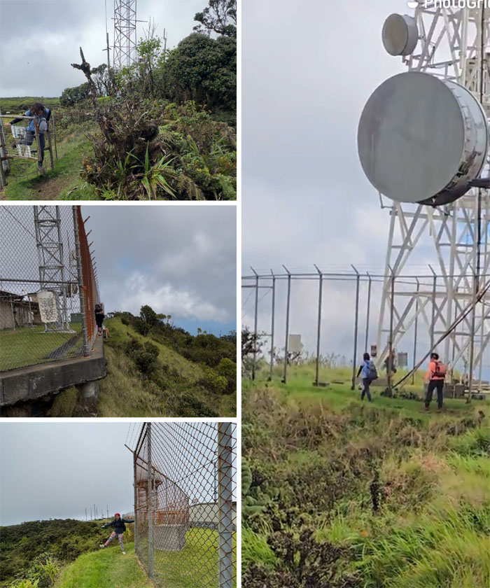
Kenny and myself went clockwise around the FAA radar station established in the 1960s and often called “Red Bluff.” We were trying to hike down to the hoist structure but took the wrong trail.
Mount Ka’ala
Meanwhile, the rest of the group soon followed and not seeing us had assumed that we had just circled the radar station. “Assumptions are made, and most assumptions are wrong” – Albert Einstein. So the group had to come back to the scenic spot to have our lunch.
Mount Ka’ala
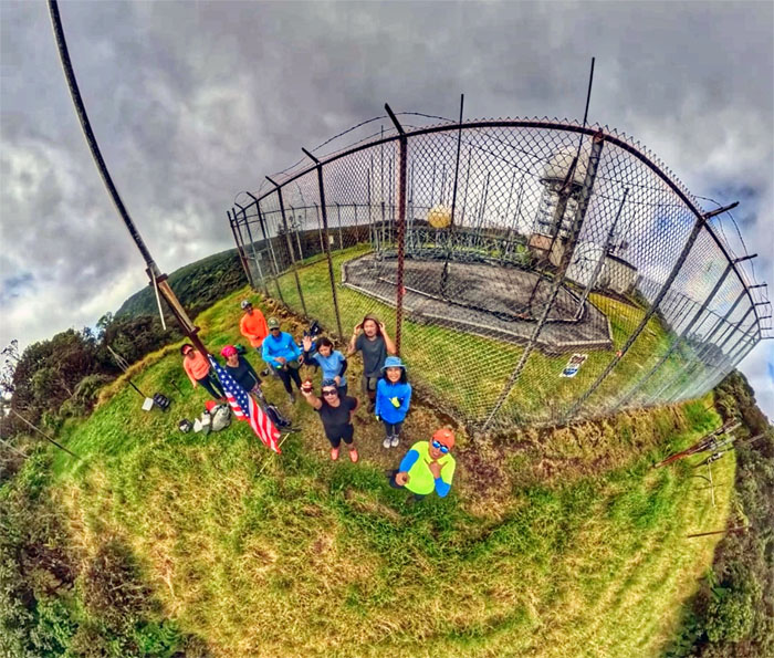
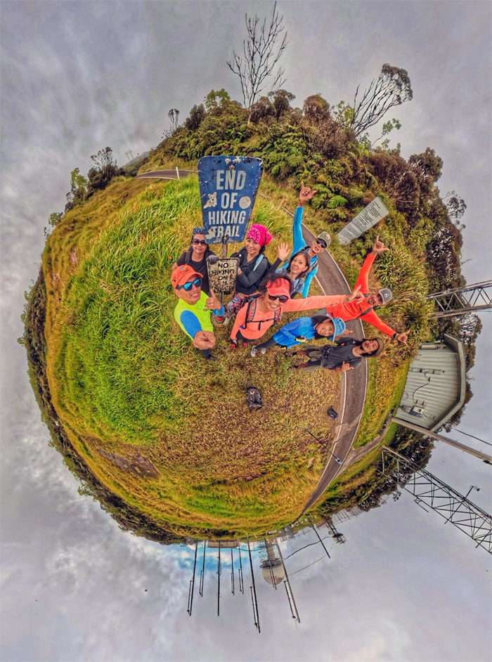
Group photo near “Red Bluff,” named because of the iron-rich soil found at the site where the radar station is situated.
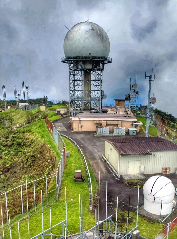
Mount Ka’ala
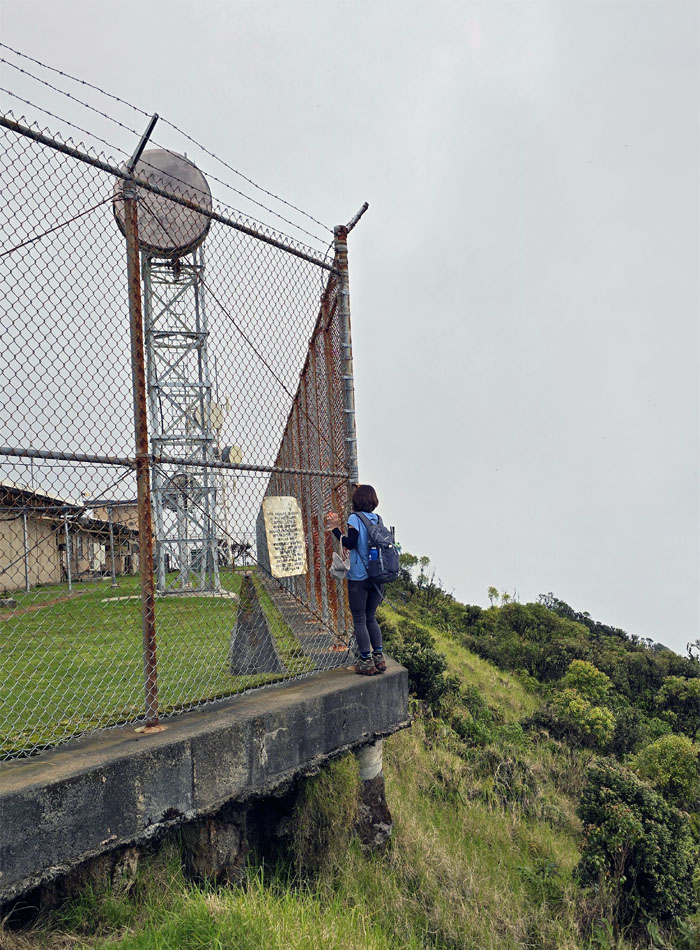
Looking into the radar station that is jointly managed by the FAA and Hawaii Air National Guard.
Mount Ka’ala
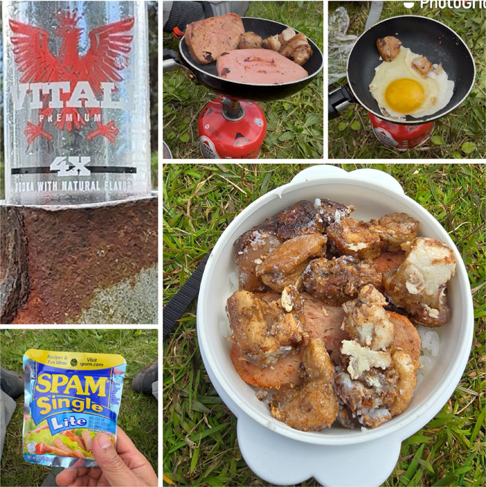
Lunch is served, vodka not included.
Mount Ka’ala
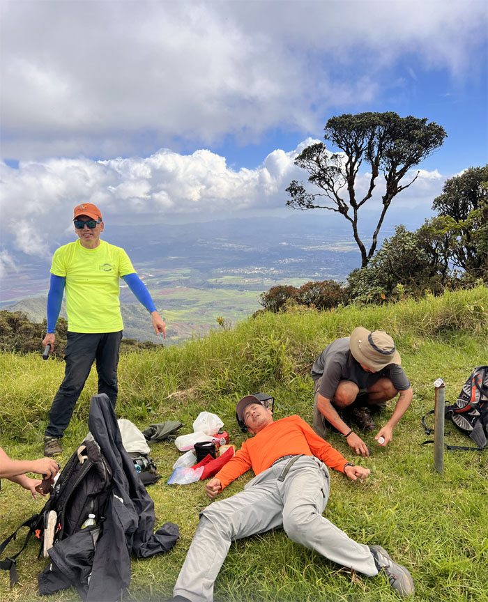
Akira was either having a kanak attack or cramp attack or panic attack.
Mount Ka’ala
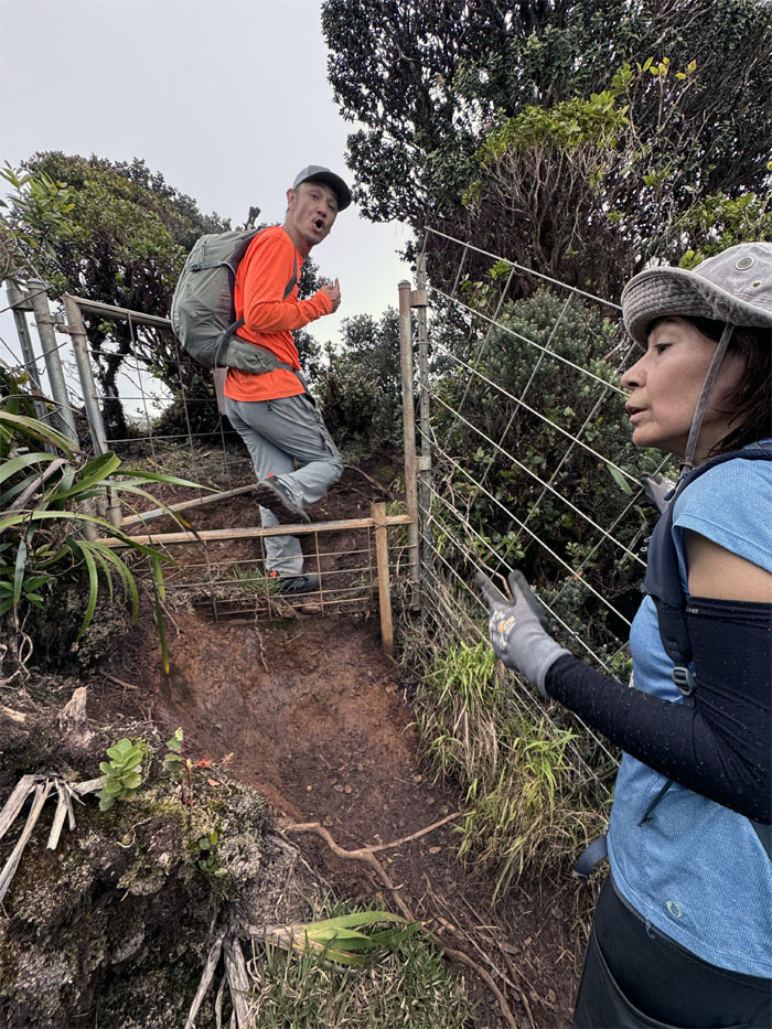
Not all of us chose the same way to exit the grassy spot overlooking the central plains.
Mount Ka’ala
Our last group photo before leaving the summit.
Mount Ka’ala Bog
Heading out through the cloud forest on the boardwalk.
Waianae Kaala Trail
Can’t beat the views going down.
Waianae Kaala Trail
Traffic Jam.
Waianae Kaala Trail
Robin leaving the ridge line as we descended back down to the valley floor.
All pau
Thanks to Edgar and Jasmin for picking us back up at the end of our hike.
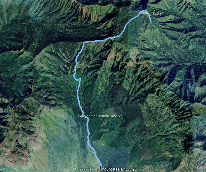
GPS Tracks
Our hike to the highest mountain on the island of Oahu covered 7.48 miles with good friends and good times.
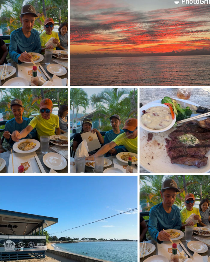
The Beach House by 604
Our post hike meal was at the dirty spoon aka flyblown as we had our dinner and sampled the not so famous clam chowder and Mr. Suzuki became the new Mr. Miyagi. We did have a nice sunset for our viewing pleasure.
Photos taken by Aida Gordon, Akira Suzuki, Cristy CM, Edgar Gamiao, Ferlino Carinio, Kenny Lui, Mari Saito, Robin Farr, Tessa Bugay, and yours truly. Not necessarily in order.
Note: I have been made aware that some hikers have been using my blog as a hiking guide and getting lost on the trails. Please note that this blog was made to document the hike for the crew(s) that did it. That is why some of my comments will seem to have no relevance or meaning to anybody outside of the crew(s) that hiked that trail. My blog was never meant as a hiking guide, so please do not treat it as such. If you find inspiration and entertainment from these hikes, that is more than enough. If you plan on replicating these hikes, do so in the knowledge that you should do your own research accordingly as trail conditions, access, legalities and so forth are constantly in flux. What was current today is most likely yesterdays news. Please be prepared to accept any risks and responsibilities on your own as you should know your own limitations, experience and abilities before you even set foot on a trail, as even the “simplest” or “easiest” of trails can present potential pitfalls for even the most “experienced” hikers. One should also always let somebody know of your hiking plans in case something doesn’t go as planned, better safe than sorry.
{ 0 comments… add one now }