
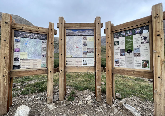
We woke up before the crack of dawn to drive to the town of Alma and up the road to Kite Lake to hike our first 14ers.
Kite Lake
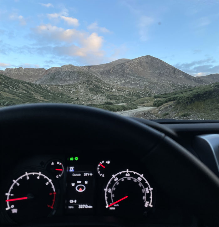
What does the outside temperature say? Isn’t that just five degrees above freezing? Well, at least I won’t melt.
Kite Lake
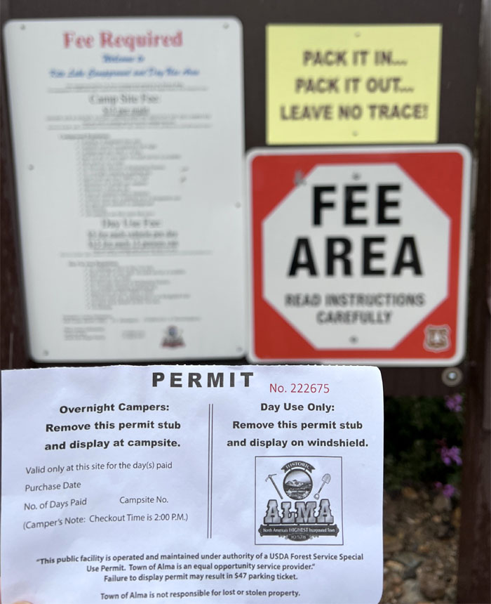
Paid for our $5 parking permit. Got a pen? Do I look like I have a pen holder on my t-shirt? Look on the ground.
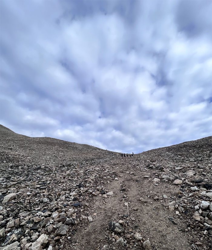
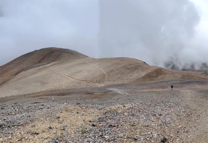
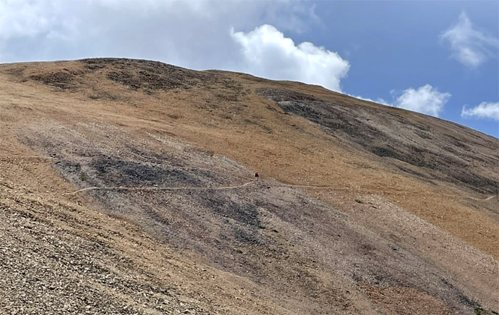
Basin
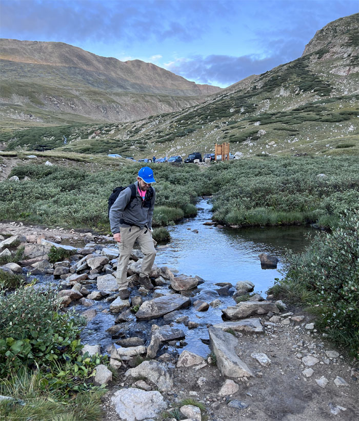
Left the crowded parking lot and crossed a couple of streams as we began our clockwise loop trail.
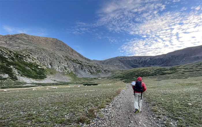
Basin
We brought our helmets but found out that we were alone in bringing such protection.
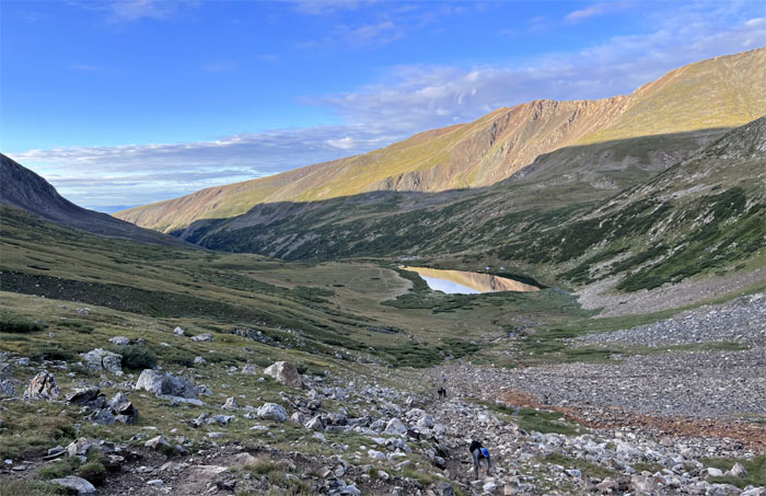
Basin
Hiking out of the basin.
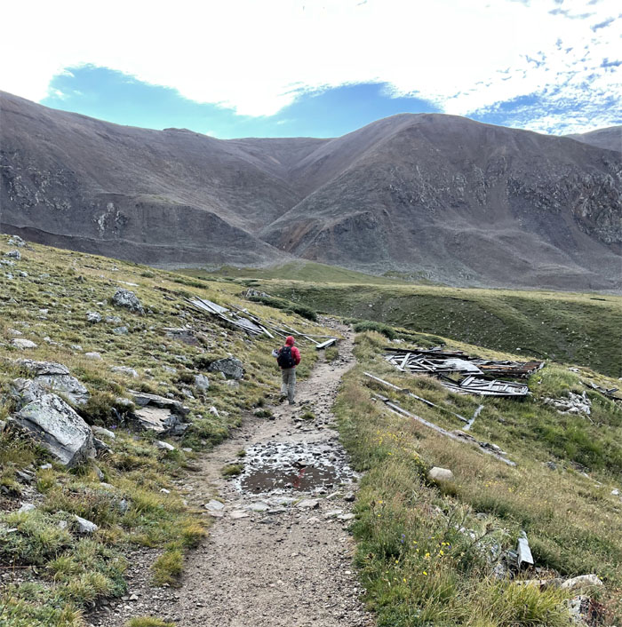
Kentucky Belle Mine
Passing one of many collapsed mine shacks that pockmark the mountains.
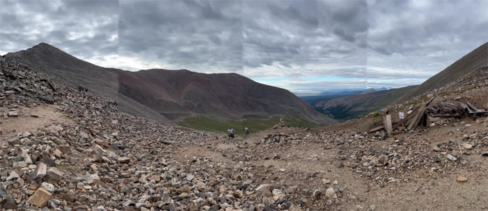
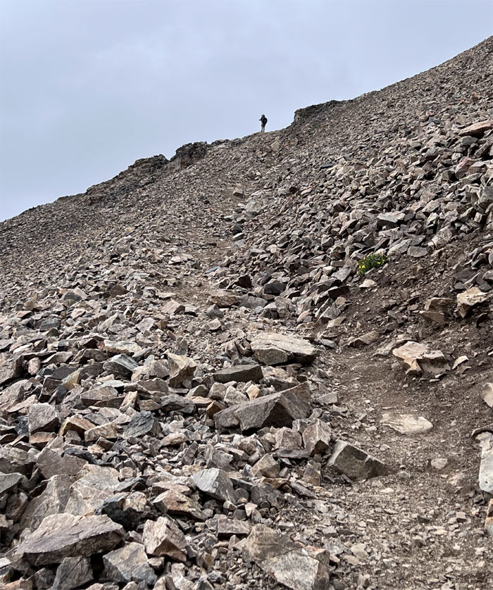
Decalibron Loop
Andy coming up the headwall.
Democrat-Cameron Saddle
Heading towards the saddle that separates the two peaks.
Democrat-Cameron Saddle
We made a left as we crested the saddle while passing another shuttered shack.
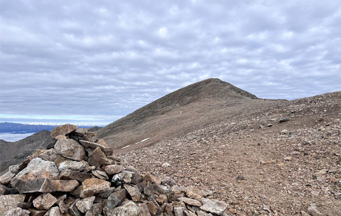
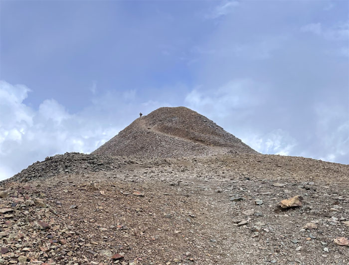
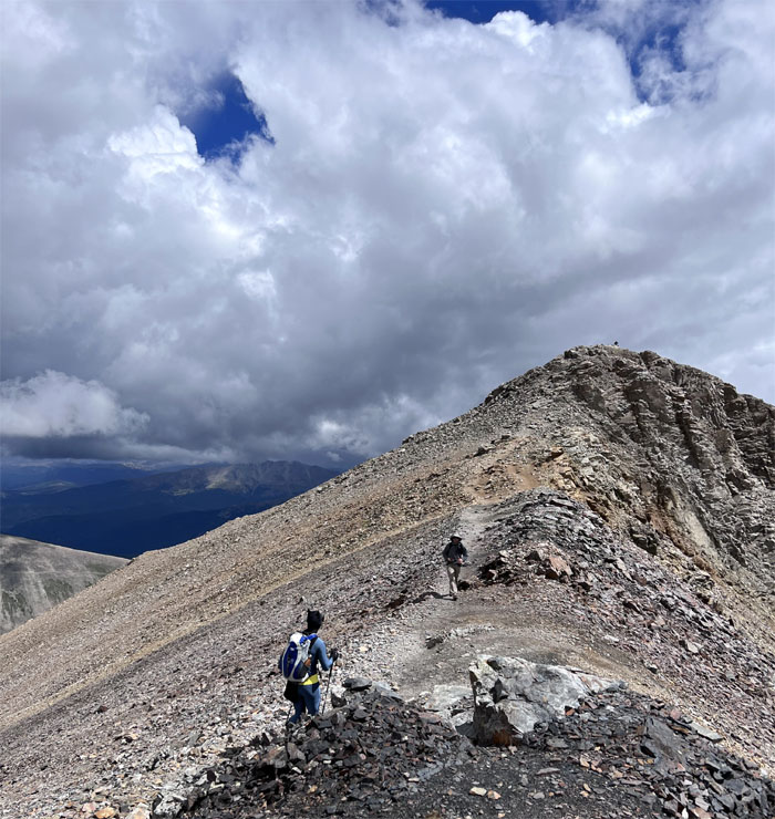
Decalibron Loop
Making our way up the final hill towards the summit.
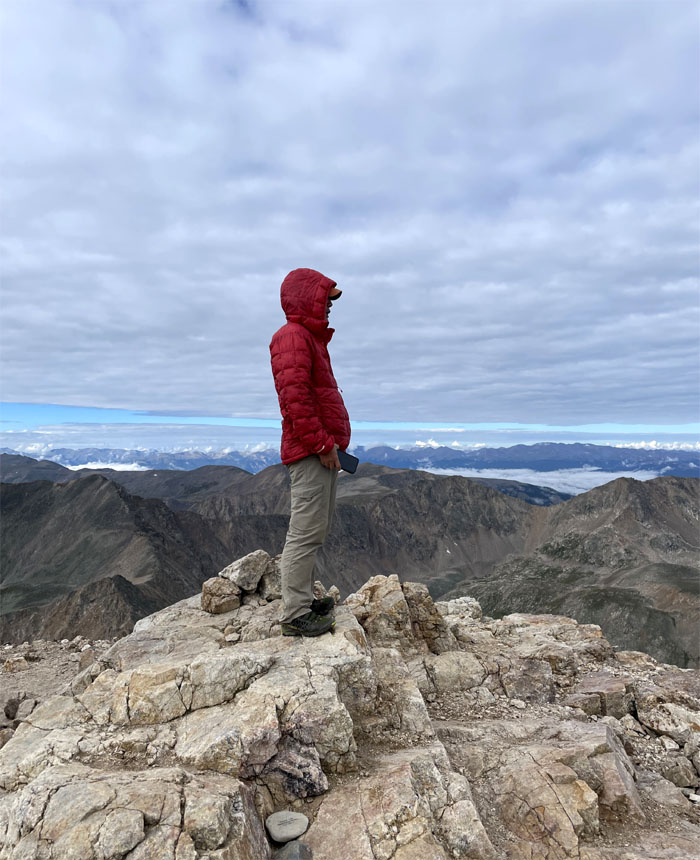
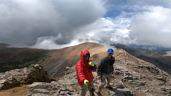
Mount Democrat
Standing on top of my first 14er in Colorado that I hiked and not drove to the top.
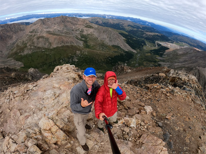
Mount Democrat
Group photo at the 14,155′ summit in the Mosquito Range.
Democrat-Cameron Saddle
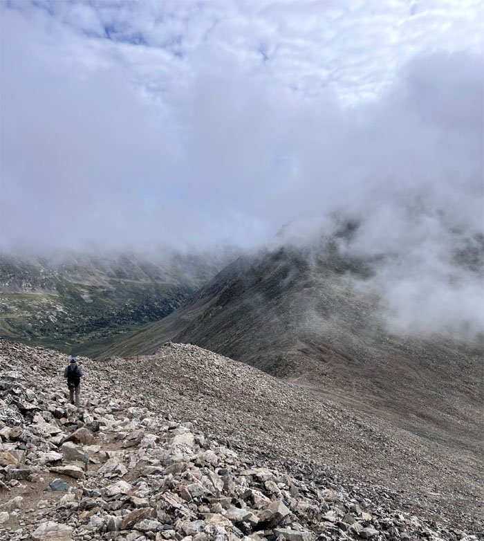
Descending back down towards the saddle as the clouds started to drift in towards us.
Decalibron Loop
Climbing out of the saddle as the clouds blanketed the summit of Democrat and started to roll down towards us.
Decalibron Loop
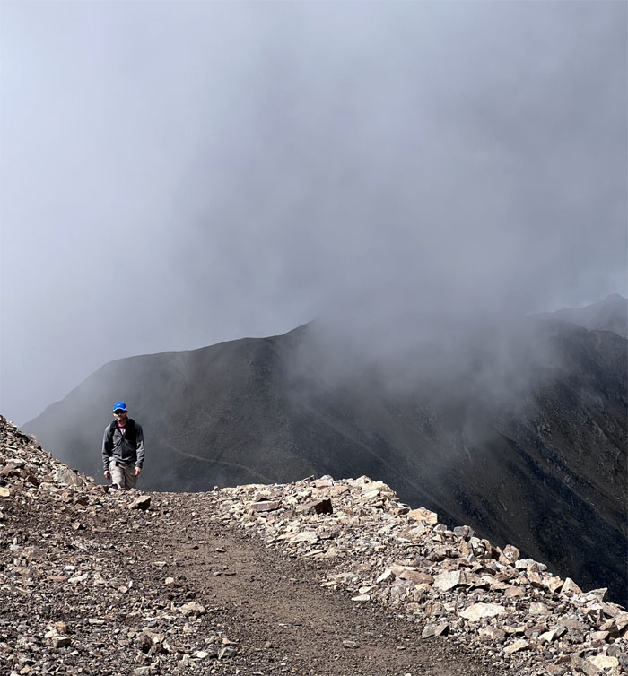
Hiking in the clouds that had totally enveloped us on the mountains.
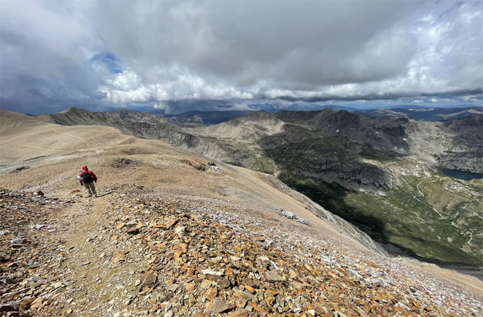
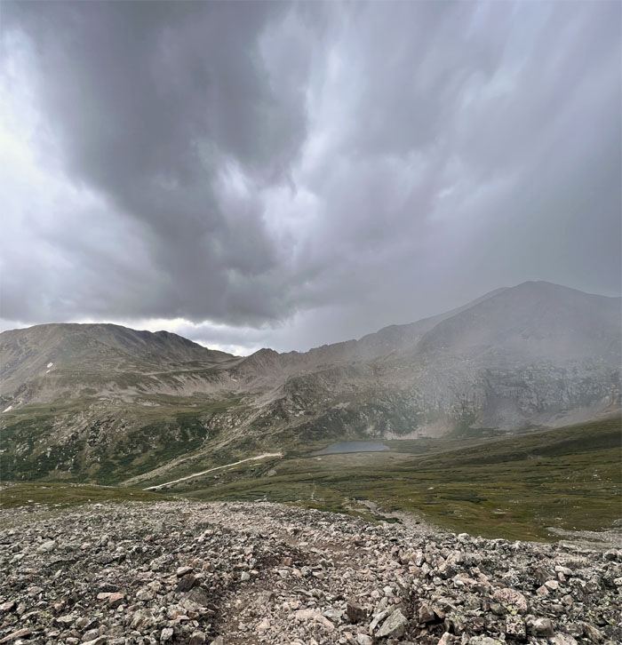
Decalibron Loop
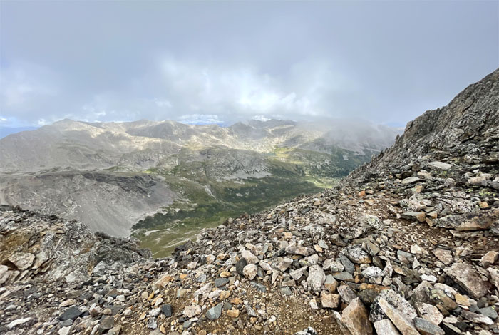
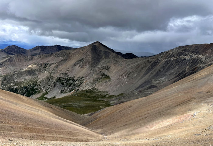
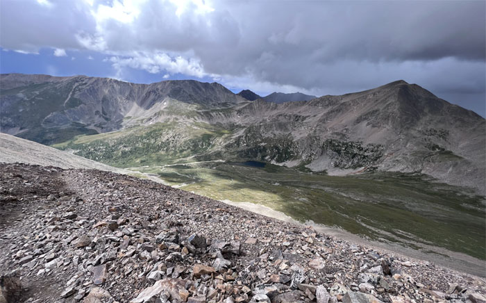
Surrounding views of the nearby lakes, valleys and mountains.
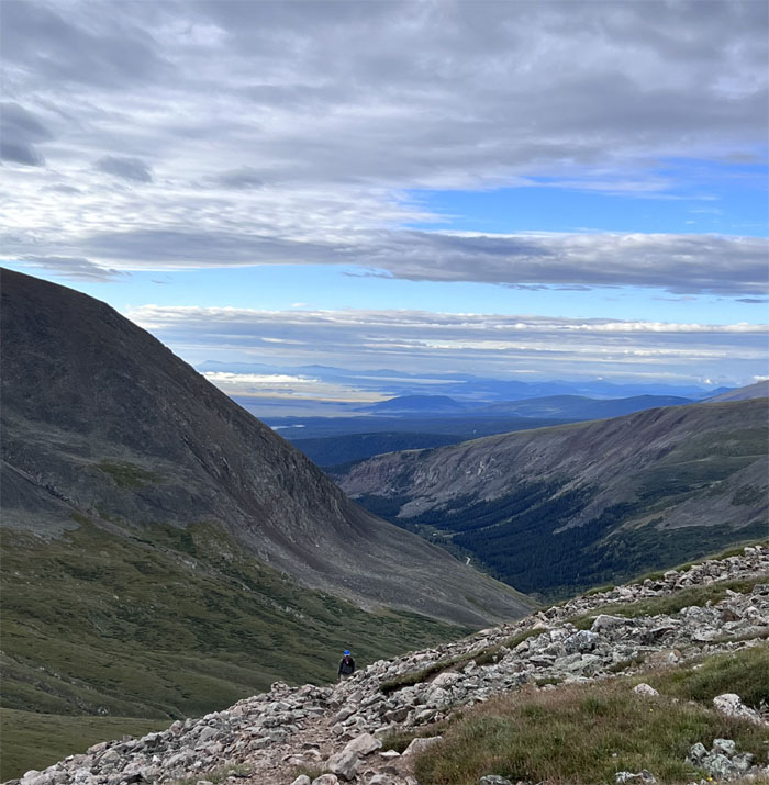
Decalibron Loop
The struggle with the thin air was very real.
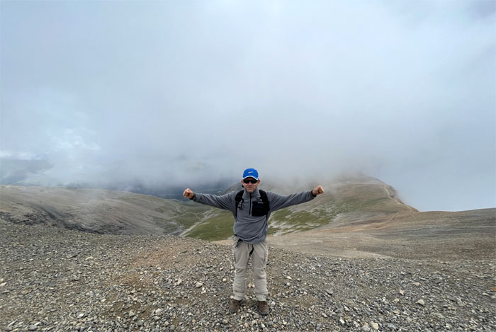
Mount Cameron
Andy on top of the 14,238′ partially cloud-soaked summit. Can we borrow your cardboard sign?
Cameron-Lincoln Saddle
Leaving the summit where other hikers offered up the opinion that descending down the Bross trail was too steep and sketchy and that thunderstorms were headed our way. Taken under consideration.
Cameron-Lincoln Saddle
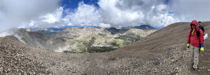
Crossing the wide open and flat area as the clouds gathered overhead and threatened to literally rain on our parade.
Decalibron Loop
Going up the false summit before the final pitch.
Mount Lincoln
Group photo at the 14,293′ peak that is the highest summit in the Mosquito Range.
Mount Lincoln
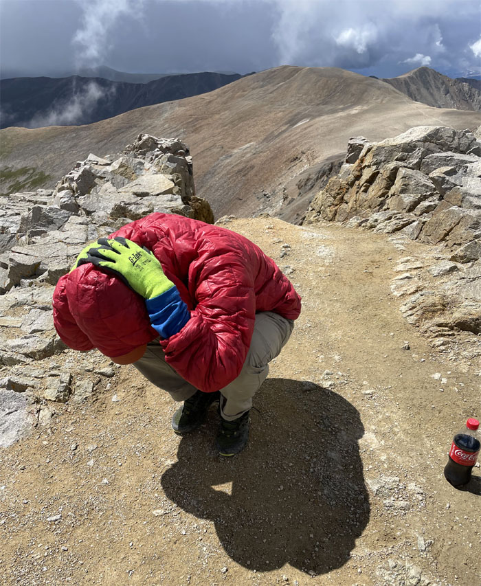
Practiced my how to survive a lightning strike pose in case it ignored my bottle of Coke.
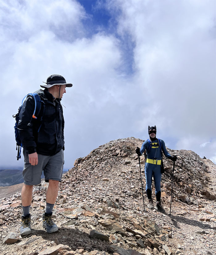
Decalibron Loop
Holy hiking poles, Batman! Where’s Batgirl?
Decalibron Loop
Left the summit and the caped crusader and his buddies.
Cameron-Lincoln Saddle
The dark clouds seemed to be moving away from us, so we decided to finish the loop instead of backtracking down the way we had come from.
Cameron-Bross Saddle
Traversing the alpine habitat that was entirely devoid of plant life.
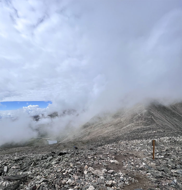
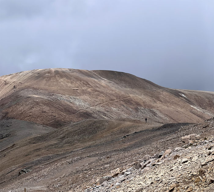
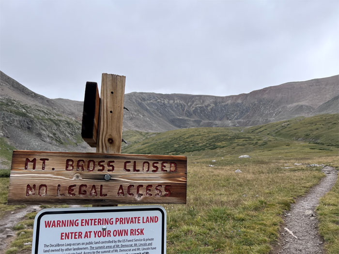
Mount Bross Junction
Passing the trail that leads to the summit of Mount Bross that is currently off-limits to the public due to liability concerns about the unstable mine shafts leftover from the gold and silver rush era. The junction at 14,014′ stands in for the summit being attained.
Decalibron Loop
Claps of thunder soon rumbled in the mountain range with seemingly increasing frequency and pitch.
Decalibron Loop
Soaking in the views. Just hoping not to get soaked.
Decalibron Loop
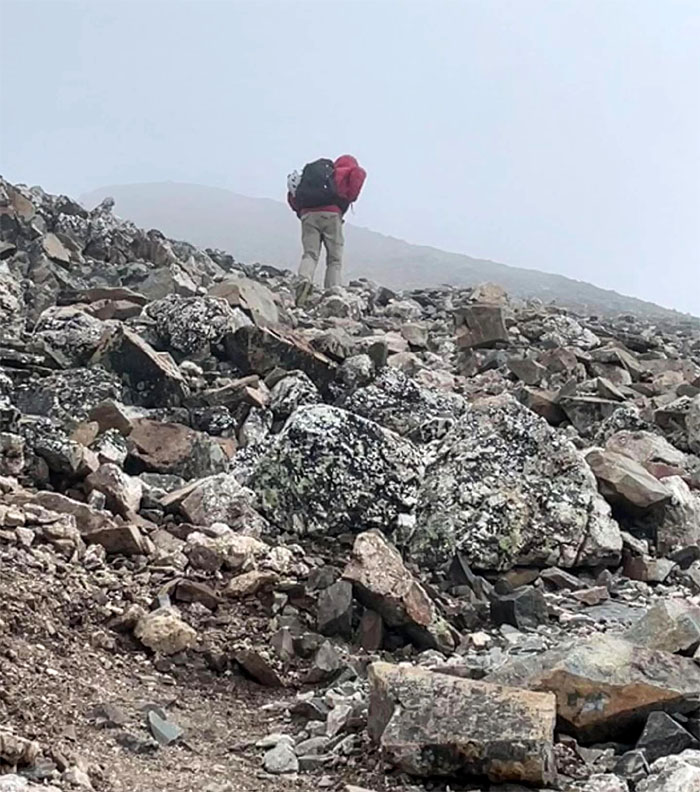
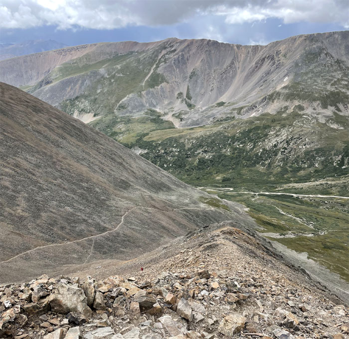
Descending towards the gully and following the trail as it meandered on the South side.
Decalibron Loop
Andy coming down a stretch of loose scree.
Decalibron Loop
A combination of hail and rain soon fell from the skies.
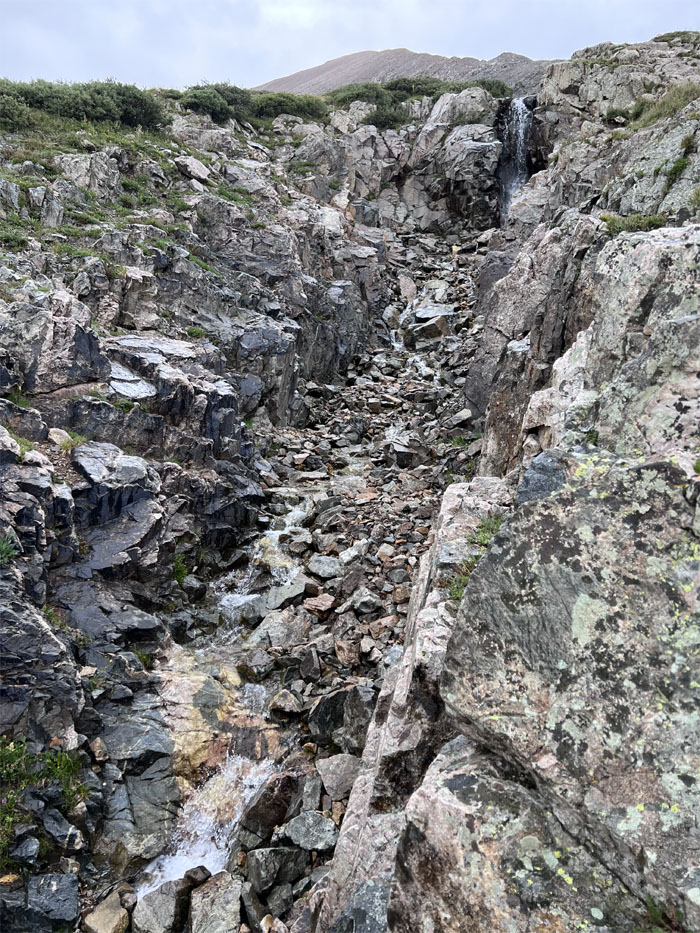
Decalibron Loop
Following the waterfall down at the base of Mount Bross.
All pau
Back in the basin and at the trailhead as the light rain kept us company. Thankfully no lightning was seen or struck.
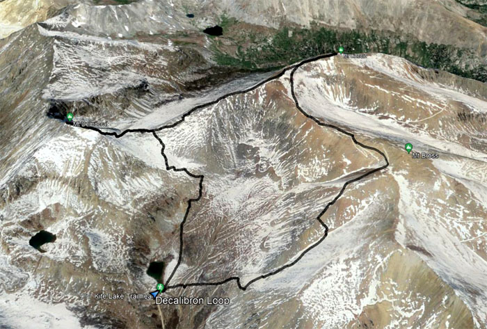
GPS Tracks
Our clockwise loop trail that included four 14er mountains covered 7.26 miles through weather that ranged from crispy clear to hollering hail. The name of the loop is shorthand for the four mountains on the loop: Democrat, Cameron, Lincoln, Bross and the ending of marathon. And now you know … the rest of the story.
Fairplay
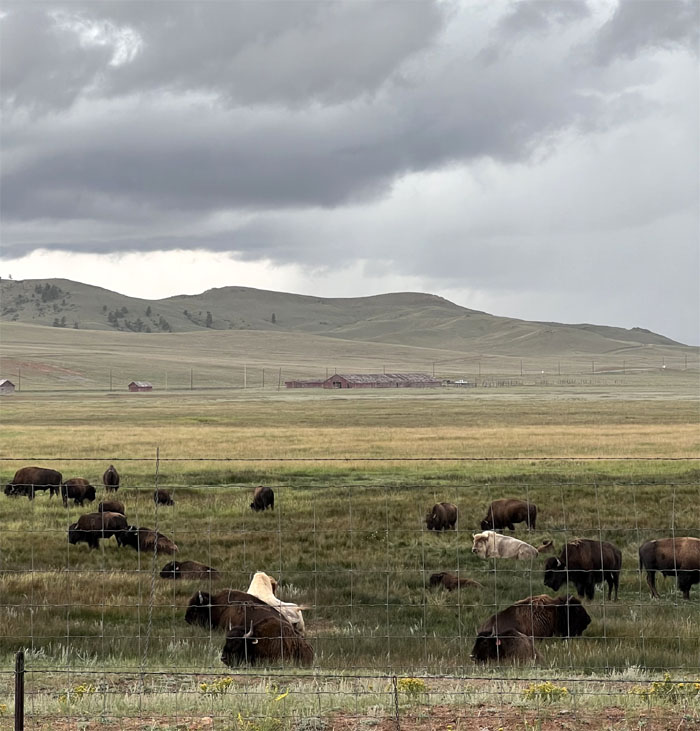
On our way back to Colorado Springs, we spotted a couple of rare white bison that stood out from the grazing herd. How rare? One in every ten million bison births supposedly comes out white. How many bison are there in the country? Roughly 30,000. Do the math.
Post hike meal at Sushi Ato. Asked the waiter what the Japanese writings on the chopsticks said and the reply was I’m Chinese. Other than that, the food could pass for Japanese.
Photos taken by Andy Wiegand and yours truly. Not necessarily in order.
Note: I have been made aware that some hikers have been using my blog as a hiking guide and getting lost on the trails. Please note that this blog was made to document the hike for the crew(s) that did it. That is why some of my comments will seem to have no relevance or meaning to anybody outside of the crew(s) that hiked that trail. My blog was never meant as a hiking guide, so please do not treat it as such. If you find inspiration and entertainment from these hikes, that is more than enough. If you plan on replicating these hikes, do so in the knowledge that you should do your own research accordingly as trail conditions, access, legalities and so forth are constantly in flux. What was current today is most likely yesterdays news. Please be prepared to accept any risks and responsibilities on your own as you should know your own limitations, experience and abilities before you even set foot on a trail, as even the “simplest” or “easiest” of trails can present potential pitfalls for even the most “experienced” hikers. One should also always let somebody know of your hiking plans in case something doesn’t go as planned, better safe than sorry.
{ 2 comments… read them below or add one }
Wow! Change of scenery, beautiful landscape
Aloha Tessa,
Yep. You should try one!
Mahalo