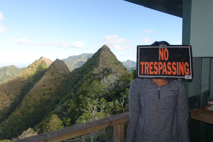
Promising weather turned into perfect conditions for our hike this weekend. Dale, Gen, Jose, Rob, Ryan, Tom and myself met up on the West side. Thanks to Ryan’s sister and Dale for shuttling us to the trailhead. Chris B would join us after work.
We picked up the trail through the dry shrubs and grass off Farrington Highway to make our way up towards Upper Makua Cave.
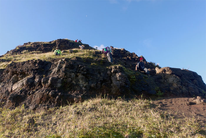
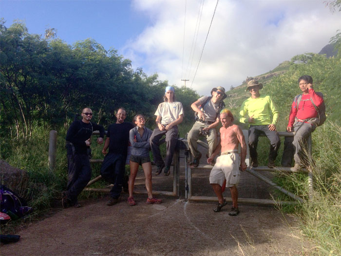
A group of hikers resting on their way to the cave. No rest for the weary.
We branched off to the left to gain the spur ridge.
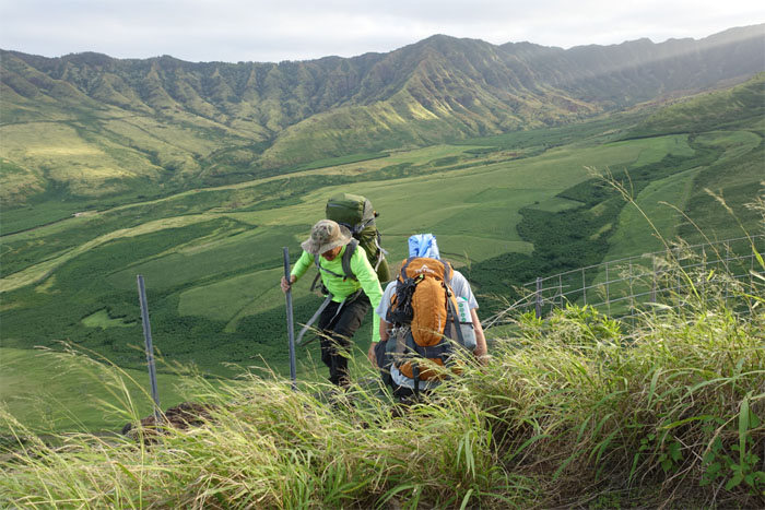
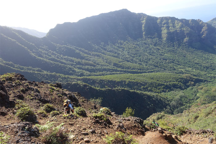
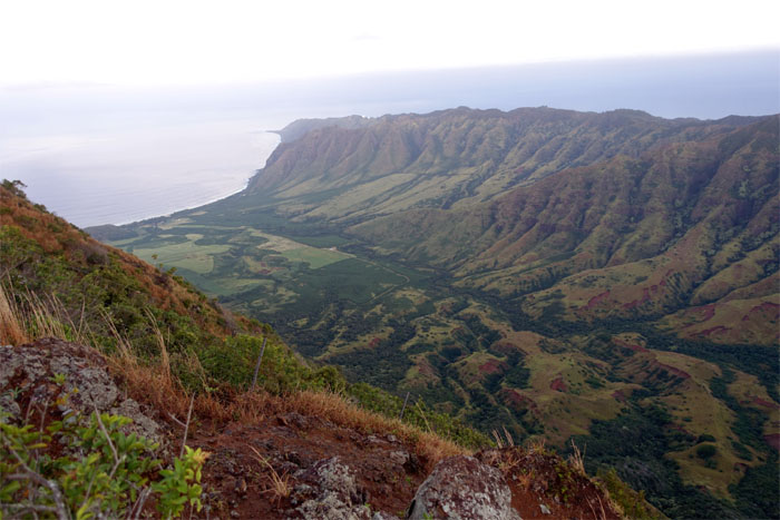
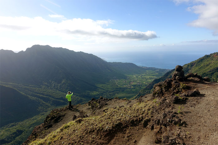
Looking into Hawaii’s own death valley. Literally. Roaming cattle and military bombs slowly leached the life out of this once thriving Hawaiian community. You wouldn’t know it by looking at it from afar, as it’s off limits to the public, but the lush landscaped valley still hides unexploded ordnances from decades of military training. Click here for the larger image.
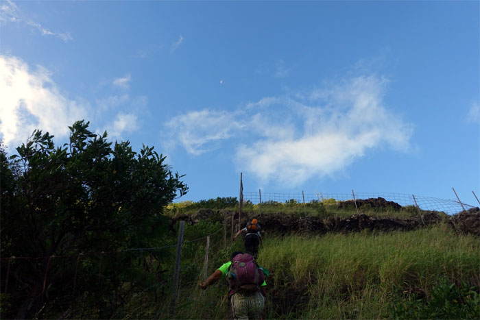
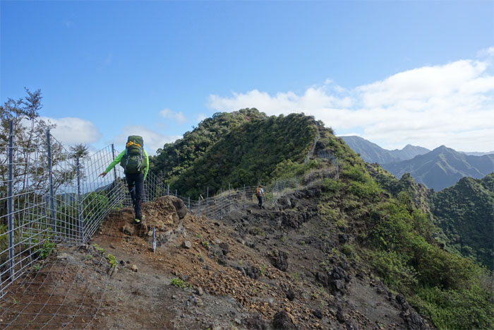
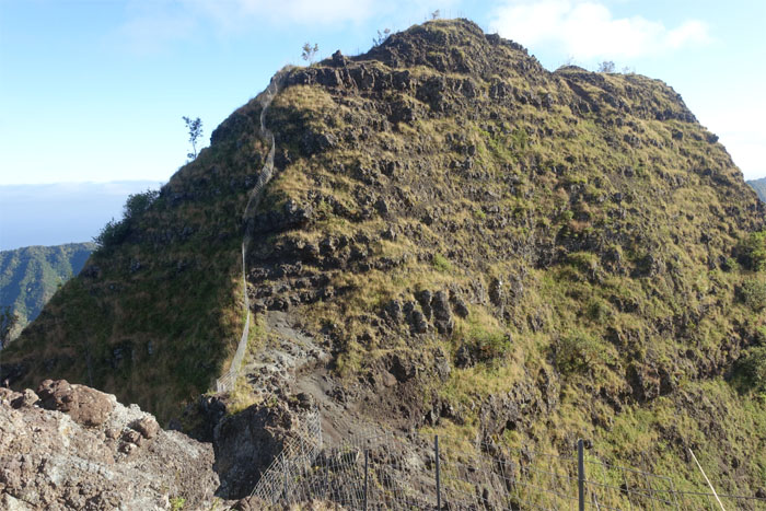
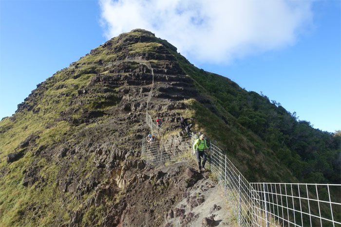
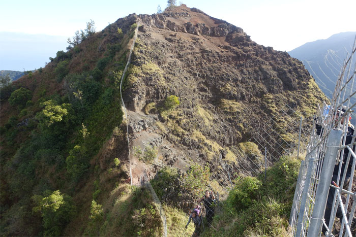
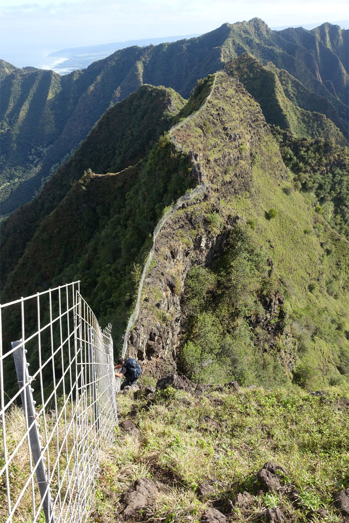
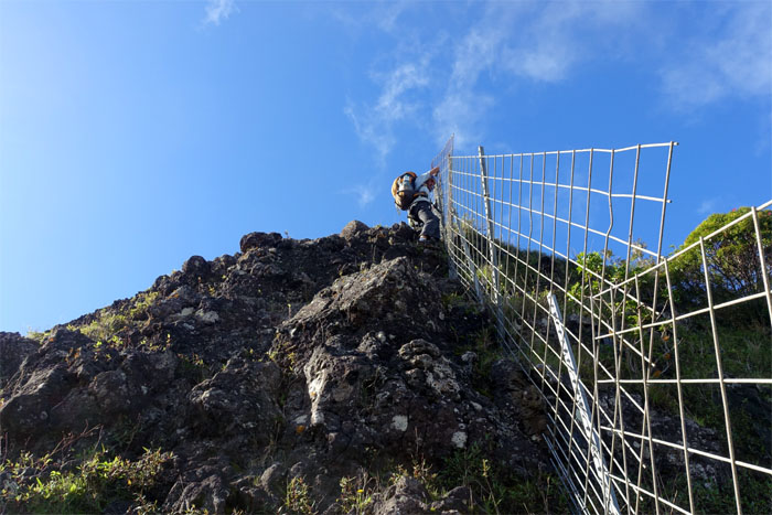
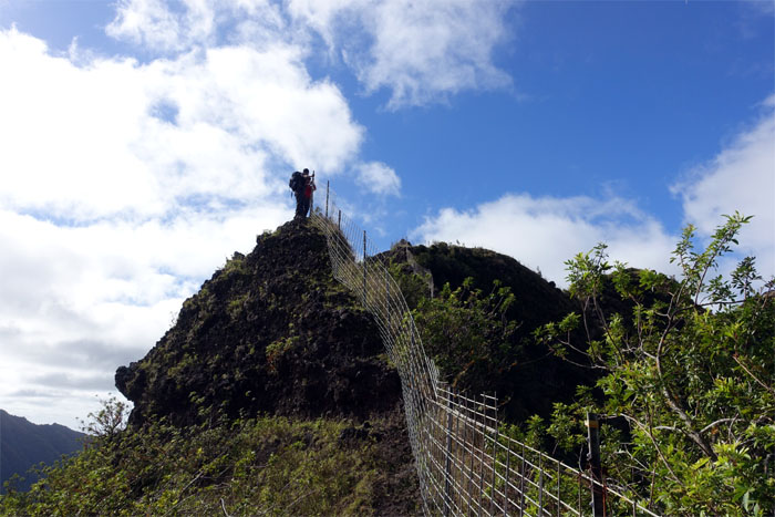
We soon got to the fence and started making our way up the spur ridge.
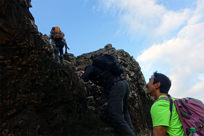
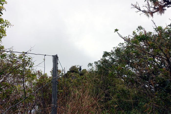
Dale waiting for his turn to climb up.
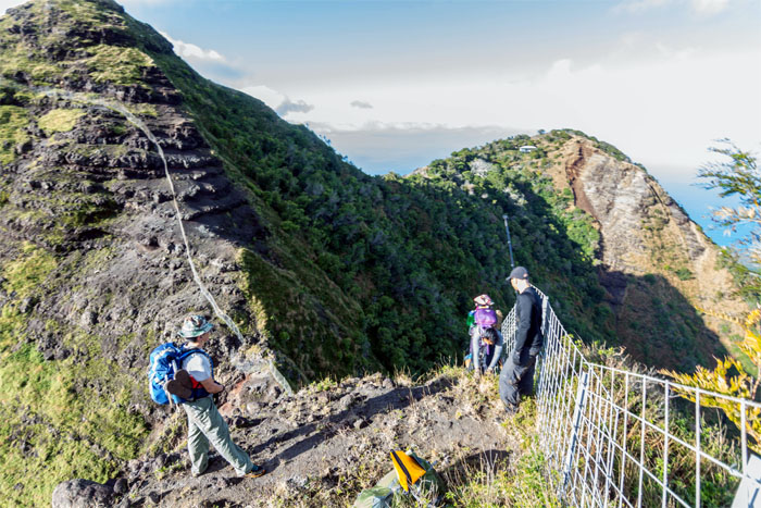
Making our way up to gain Ohikilolo ridge.
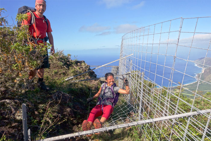
Rob holding down the fence for Tom to cross over. A hiker and a gentleman.
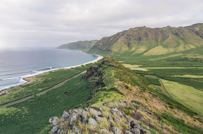
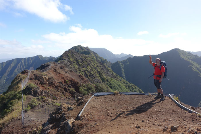
Enjoying the view towards Kaena Point. Photo by Tom Engle.
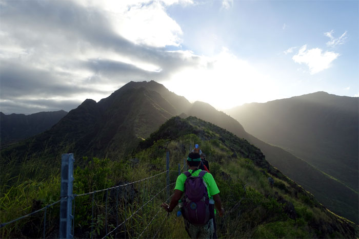
The sun breaking over the mountains. It was going to be a hot day.
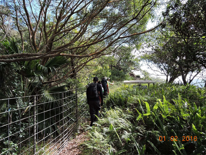
Enjoying the shade while it lasted.
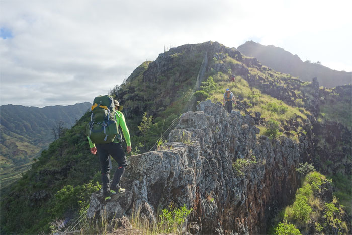
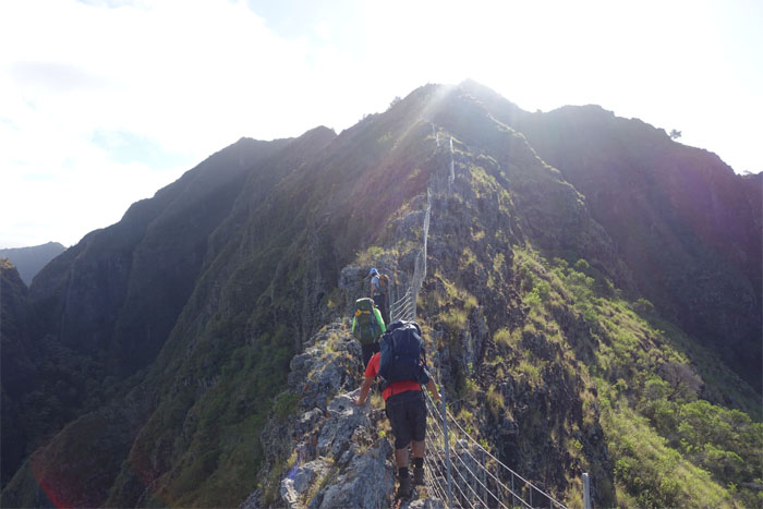
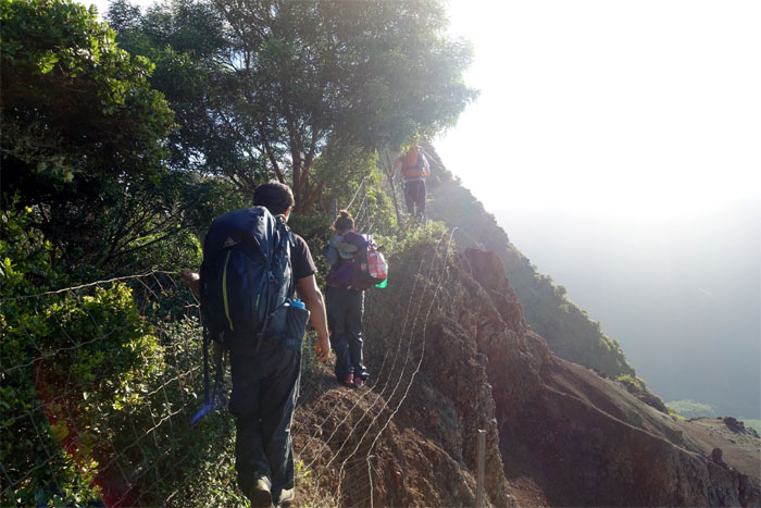
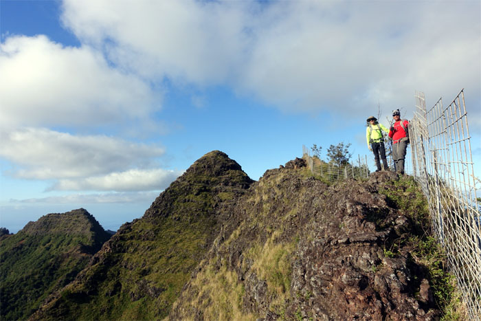
Walking on the narrow rock dike broke the monotony of the fence line.
We started to run across many a goat that found out the hard way that the grass is not always greener on the other side of the fence.
Switched to the left side of the fence.
Not for long. Switched back to the right side of the fence.
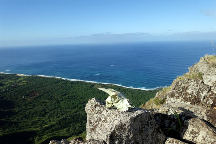
Ryan scrambling up the ridge with a sun bleached souvenir on his back.
Mountain accommodations for two.
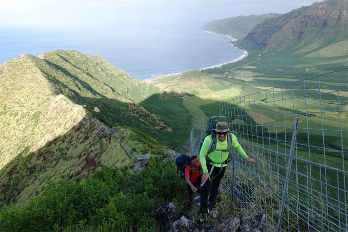
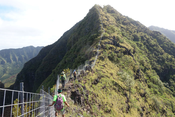
Rob and Tom contouring around the fence line with Makaha Valley in the background.
Look! Up in the sky! It’s a bird! It’s a plane! It’s a helicopter.
Click here for the panoramic view.
Hiking on the eroded section of the ridge.
Ryan, Dale and Gen making their way up.
We could see the forest for the trees. Koa trees.
Entering the introduced and native forest. Photo by Dale Yoshizu.
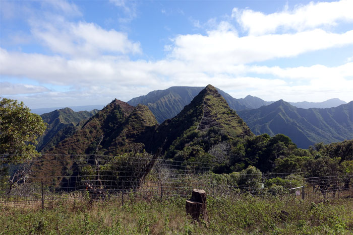
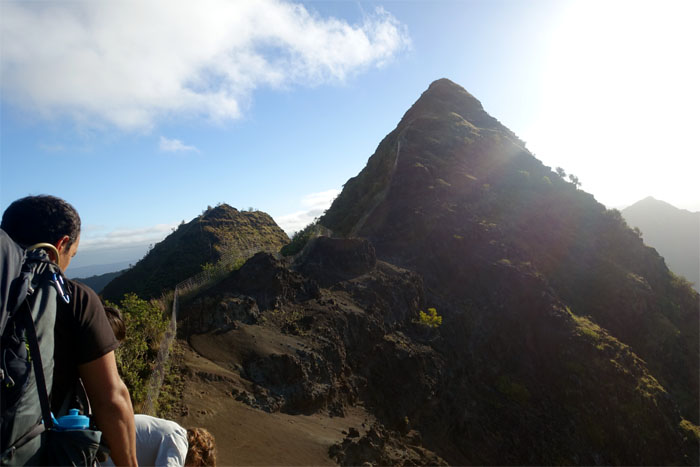
The triangular peak of Ohikilolo which roughly means scooped out brains.
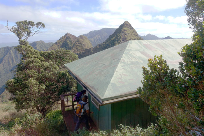
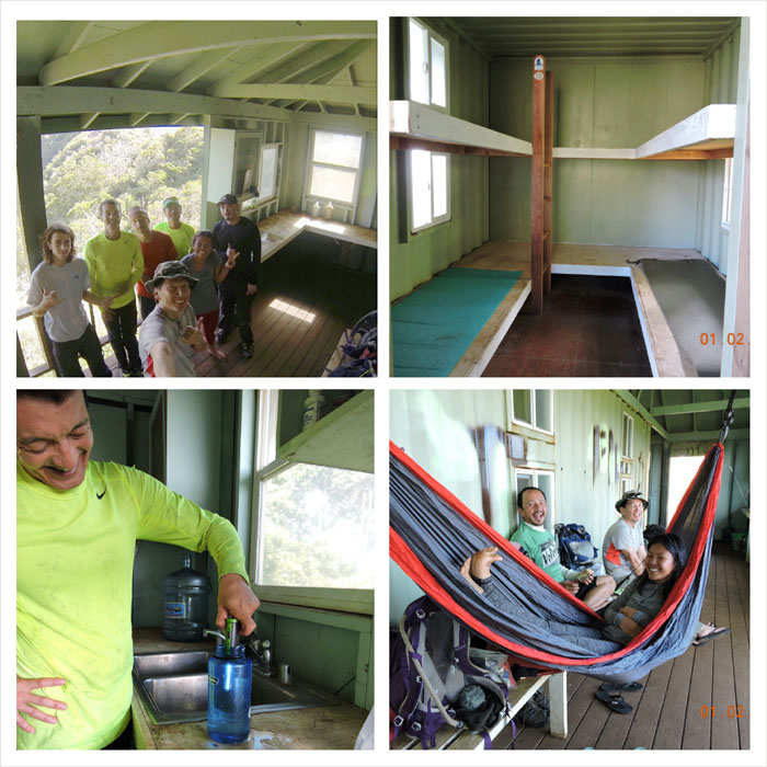
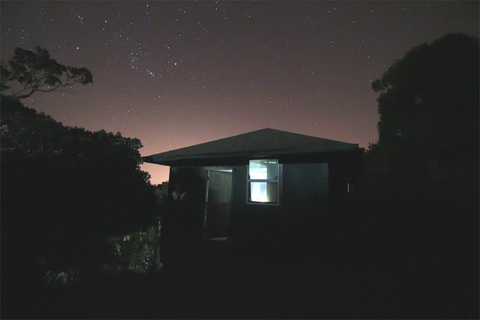
We had the cabin all to ourselves. Pays to have reservations.
I can see why a lot of people have taken a shine to this cabin. Wrap around lanai with mountain views. Bunks that can sleep up to 12 people. Rain catchment system provides drinking water and showers. Unfortunately, Dale could only enjoy the cabin with us for a few short hours before hiking back down. Photos by Dale Yoshizu.
Deep thoughts. Outhouse with a view.
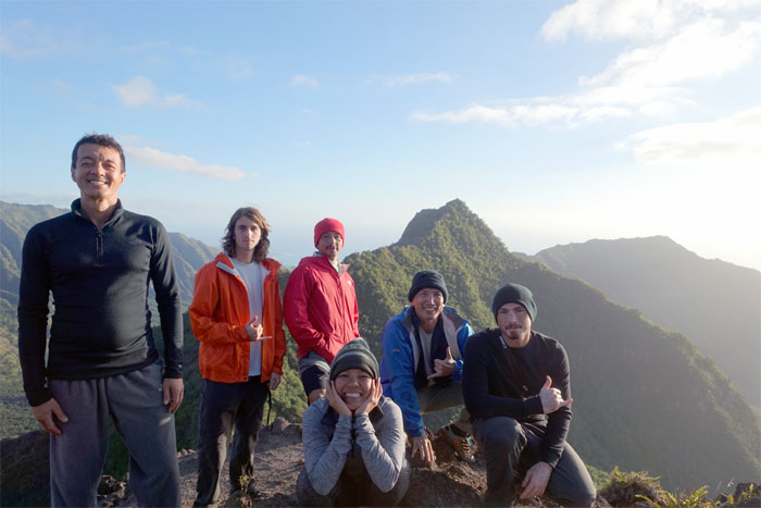
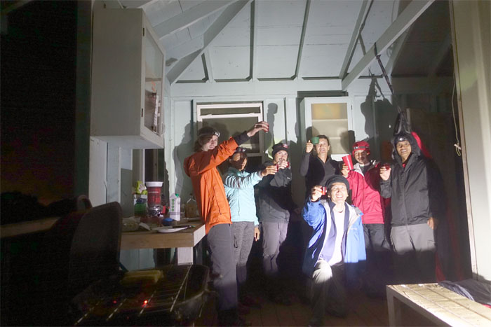
Group photo left to right: Tom, Rob, Jose, Gen, myself and Ryan.
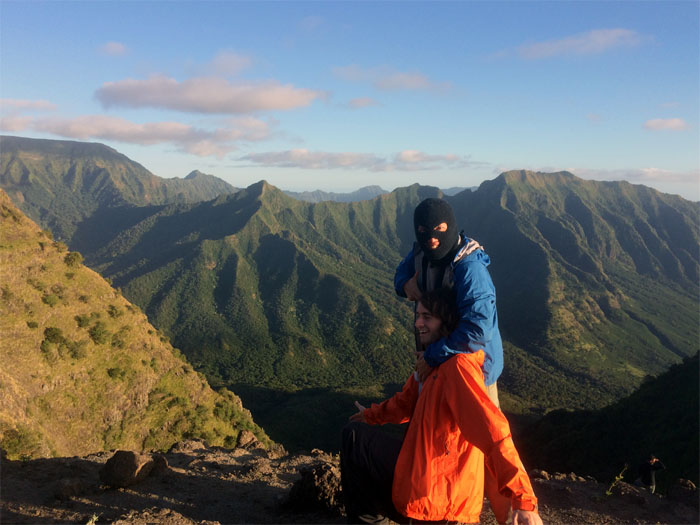
When you do bad things in the mountains, you get held hostage at finger point. Rob was later released on his own recognizance. Photo by Genesaret Balladares.
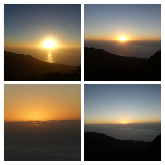
No green flash spotted.
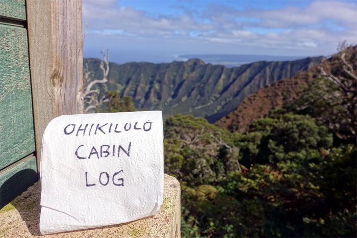
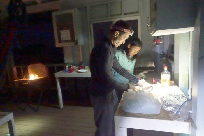
Chris pushed up the ridge and arrived under cover of darkness to deliver our frozen steaks. Chefs Engle and Balladares prepping our food. Heavy on the oil and garlic please.
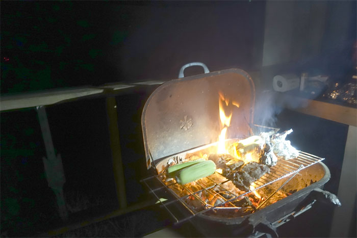
The pit boss, Gen, presided over the grill to cook our steak, baby potatoes, corn on the cob, and garlic bread. We ate pretty well that night.
The skies were clear. The winds were noticeably absent. Stunning mountain views. Grilled food. Great company. Glamping. Not quite. But pretty close.
Cinammon fireball whisky to keep our tummies warm.
No rodents paid us a visit as we bunked down for the night. Photo by Ryan Leano
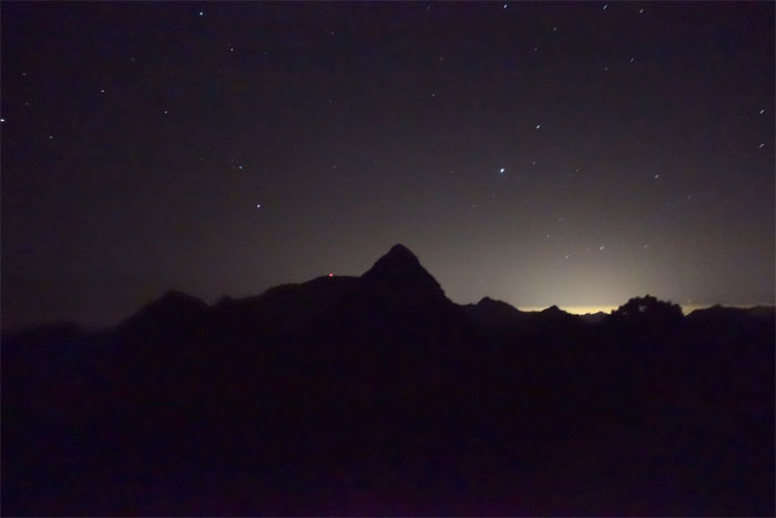
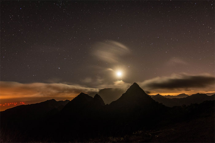
Somebody got up in the middle of the night to catch the moon rising over Mount Ka’ala. Photo by Tom Engle
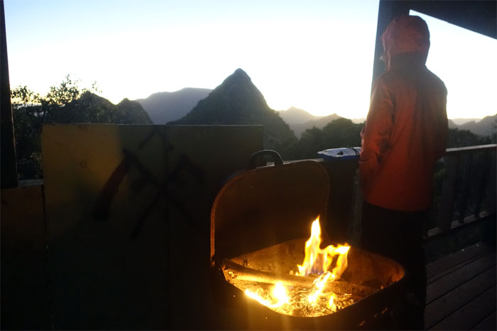
Chilly Sunday morning. Ryan dragged the grill back into the cabin and applied liberal amounts of lighter fluid to kick start the heater.
Looking into the back of the valley.
Click here for the larger image.
We cleaned up after ourselves and checked out of the cabin to resume our second day of hiking.
Approaching the summit of Ohikilolo.
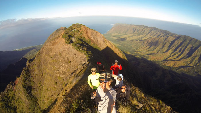
Group photo at the 3,052′ sun-in-your-face summit.
The crew scrambling down the crumbly backside.
A rocky rollercoaster ridge hike was ahead of us.
Leaving the summit of Ohikilolo behind us.
Looking back at the cabin. It was a sweet cabin. Photo by Tom Engle.
Hikers imitating goats on the ridge. Just don’t get your head stuck.
Chris and Tom on the skinny ridge with the slowly receding view of Ohikilolo behind them.
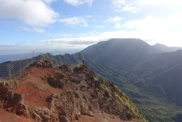
All fences lead to Mount Ka’ala. Well, at least this one does.
Chris coming down mini-Ohikilolo.
Back in 1855, this valley was sold for the princely sum of $5,000. In todays dollars that would roughly come out to $140,000. Trinkets and beads?
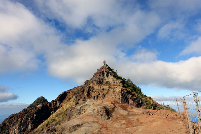
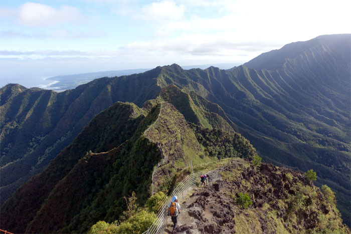
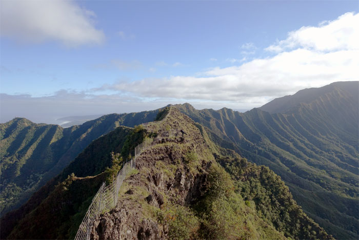
The fenced ridge line serpentined towards three corners.
Gen kicking it in the mountains.
Jose making his way down to a narrow section of the ridge.
Rob making his way down the steep rocky ridge.
Jose kicking it in the mountains.
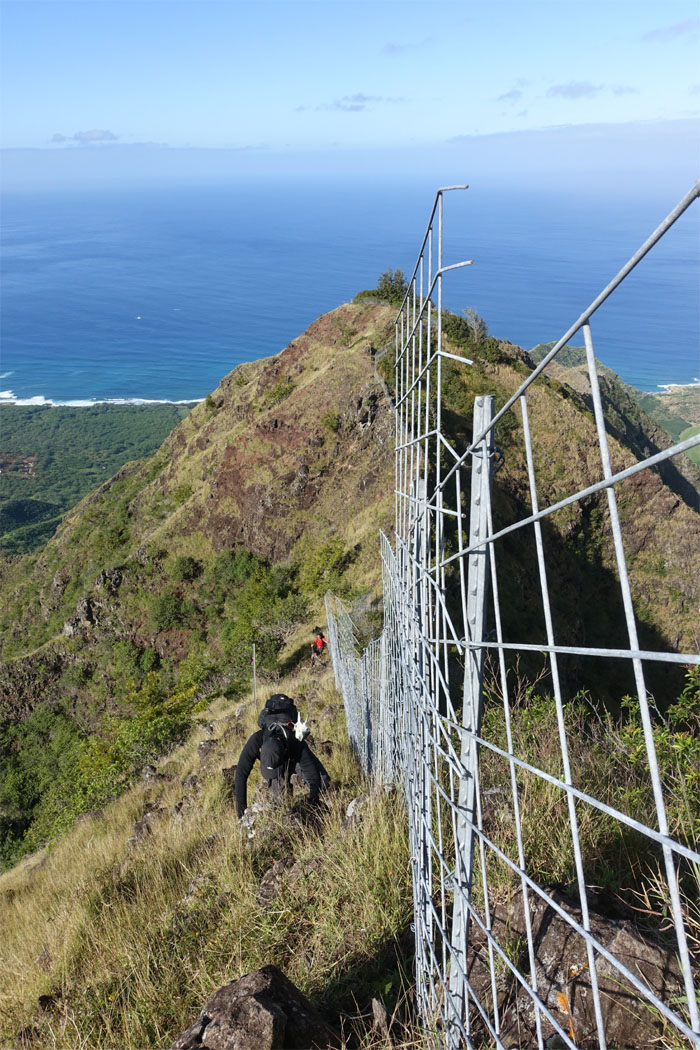
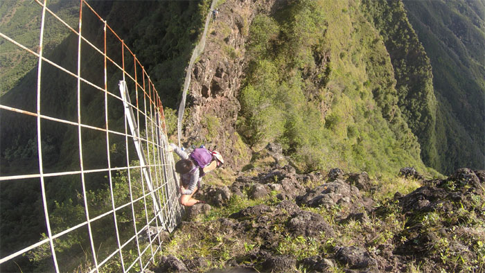
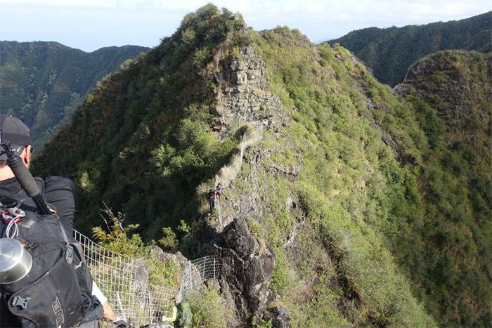
Gen making her way down a steep climb. I guess the fence does come in handy. Photo by Ryan Leano.
The rest of the crew making their way down.
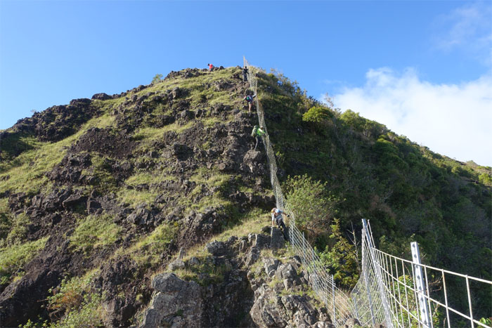
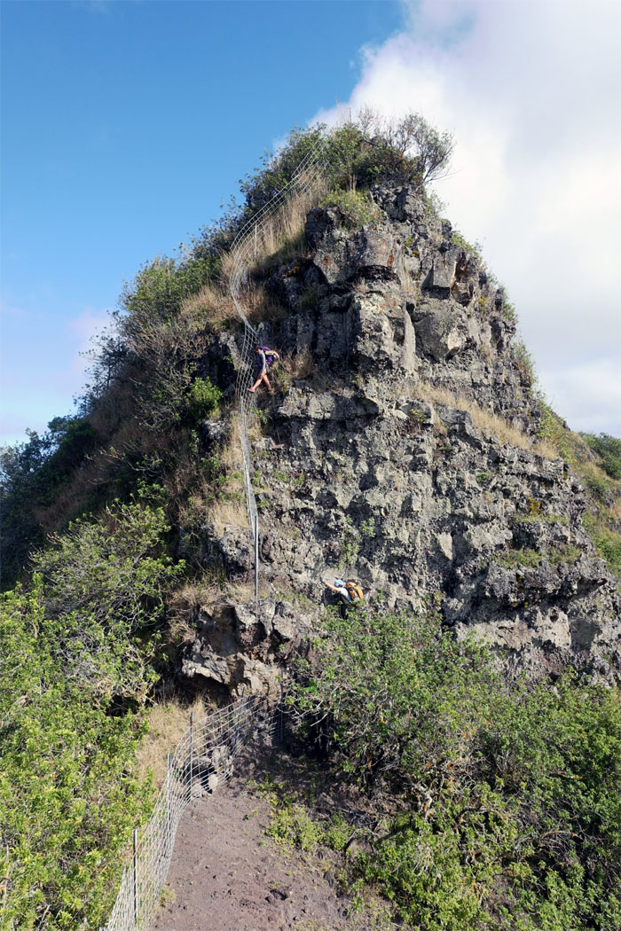
Ryan climbing up a short and steep rock.
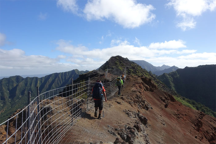
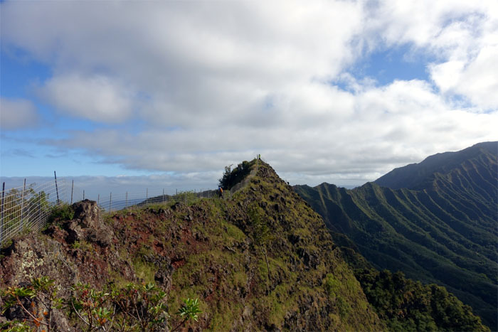
Fence for miles. Or at least as far as the eye can see.
Ryan and Tom climbing their way down to the small rock obstacle.
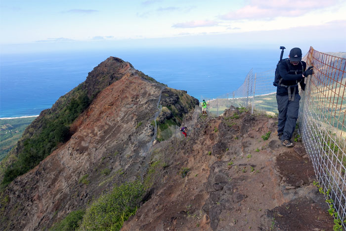
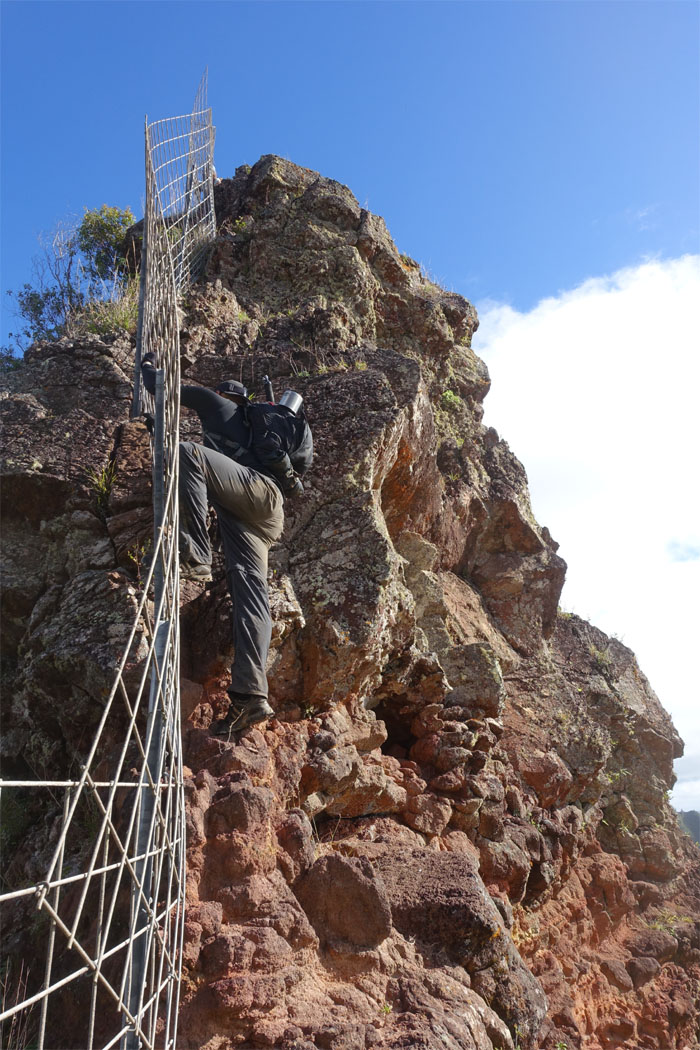
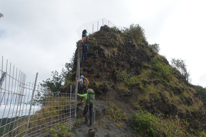
Gen and Rob climbing up the last steep rock climb. Pretty vertical fence climb.
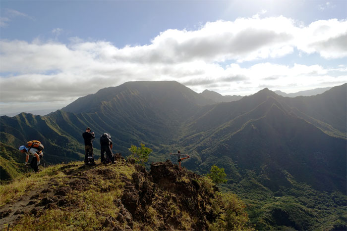
Chris and Jose enjoying the views from the ridge line.
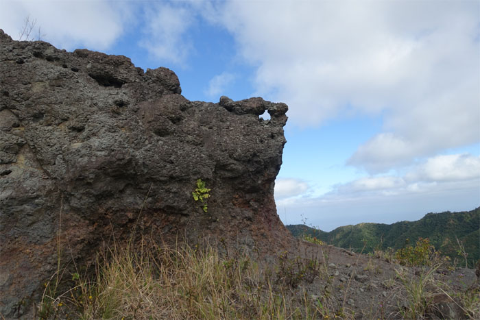
Another hole in the Waianae mountains.
I don’t know about the rest of the crew, but my left arm was getting tired from hanging onto the fence as we made our way along the ridge.
In the thick of things. Things being shrubs and trees.
The final push to the summit. Almost there. Really.
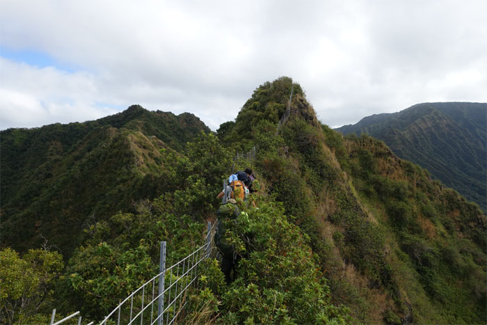
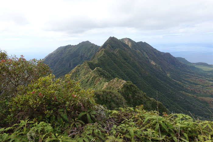
Looking back at the convoluted fence lined ridge that we had just traversed.
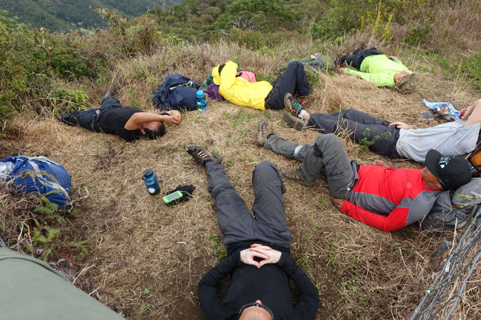
Afternoon siesta. Forget the group photo.
Click here for the larger image.
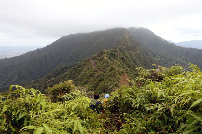
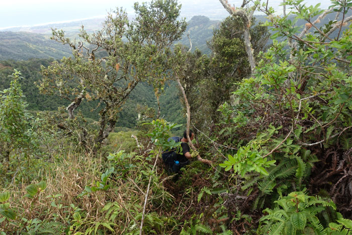
Back in the jungle. The uluhell jungle.
Is this the way? So many ribbons. So many choices.
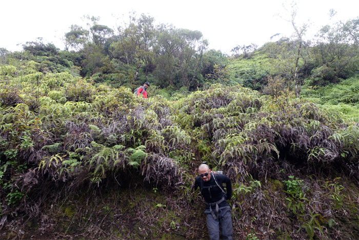
Chris and Ryan sliding down the uluhe covered cliff.
Roughly two miles. Uphill. Head down.
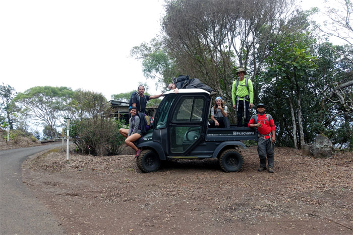
Where’s the driver?
Even those of us with less than 20/5 vision could make out Ohikilolo cabin in the distance.
Somebody was smiling. Must like their pants pulled up high.
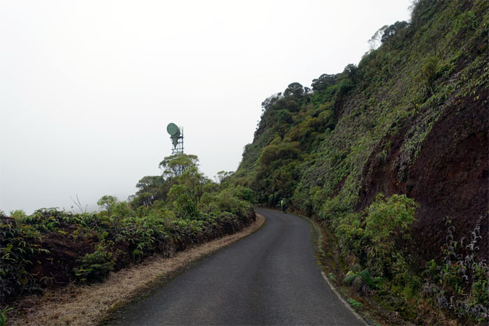
Tom walking up to the cell communications towers.
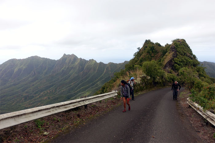
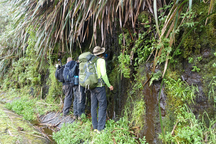
Multiple choice: Are Ryan, Jose and Tom a) heeding the call of nature in a communal setting b) filling their bottles with the spring water flowing down from the top or c) being forced to face the wall for walking on Mount Ka’ala Road.
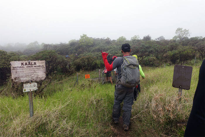
Arriving at the socked in summit. We met a bunch of hikers and asked for directions to Diamond Head. They weren’t buying it.
No views. Everybody was in a rush to get down to the valley floor. No breaks. Just straight down. Other hikers yielded to our stampede.
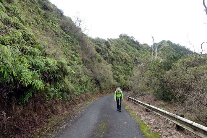
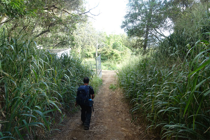
One mile of paved goodness left to finish off the hike. Let it end.
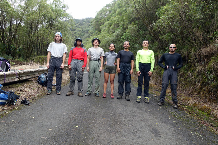
Group photo with the legendary rainbow man himself, Laredo. Photo by Krista Robertson.
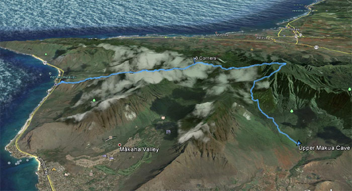
Our two day cabin hike covered 10.91 miles over rocky roller coasting ridges and stellar scenery with good friends. It was so much fun. Thanks to Chris’s friend, Emerito, for picking us up in Waianae Valley. Post hike meal at Outback. Hiking staple.







{ 4 comments… read them below or add one }
SO AWESOME Thanks!! You are showing me at 73 How nice Waialua Is!!
I love Waialua when the Plantation was there.
I lived on Haona Street Waialua High 1963
Culinary Degree Kapiolani 1965
Chef of the Year 1997 Chef’s de Cuisine
Chef at Mid-Pacific Country Club
Retired
Aloha John,
Thanks. Glad you had some great memories and are now enjoying your retired life.
Mahalo
Wow…Mahalo for this picture diary/ journal!!! I was googling Makaha…which brought me to Braddah IZ..then Mt. Kaala and your hiking adventure. I loved it…the pictures were Awesome and I did Click…to open up to enlarged pics. I may never reach those heights you all did..stay in that cabin. …travel along that Fence, but Man Alive!! I felt I was there!!! Thanks for the moonrise pic. Mahalo again.Xo mona
Aloha Mona,
Glad you enjoyed the post. You never know, one day you’ll find yourself on that mountain, enjoying the experience and views.
Mahalo