
We used public transportation and our own two feet to get around today.
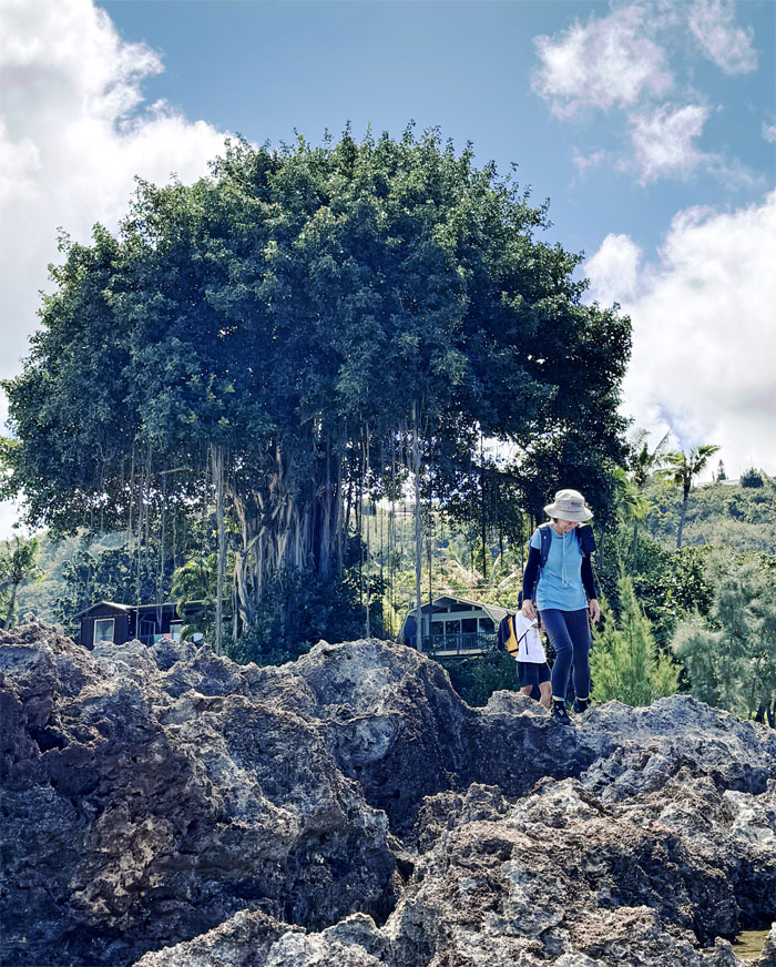
Kualoa
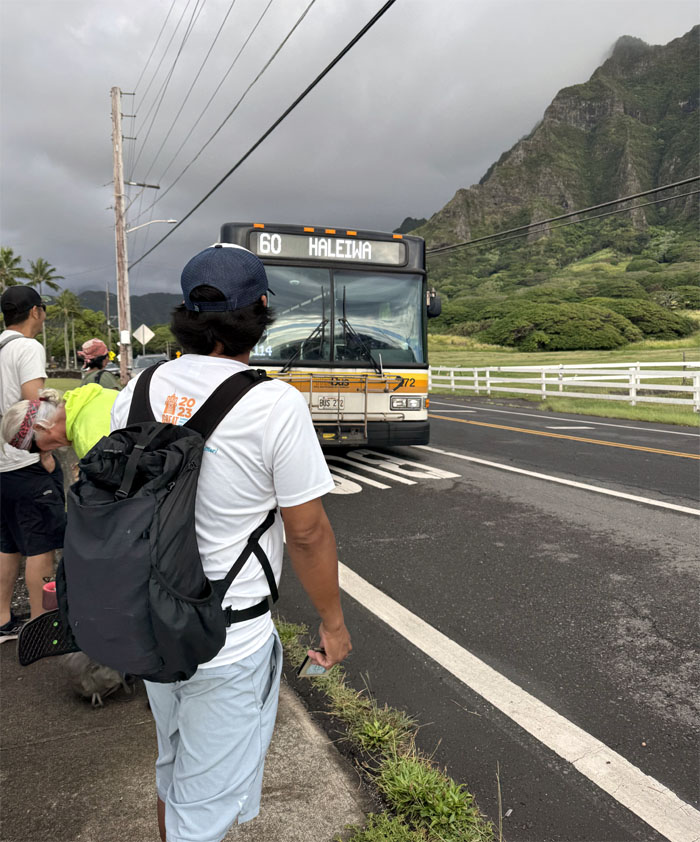
Boarding TheBus that had its genesis back in the formation of HRT in 1898 which gradually evolved into the MTL under Mayor Fasi in 1970 and the current OTS in 1992.
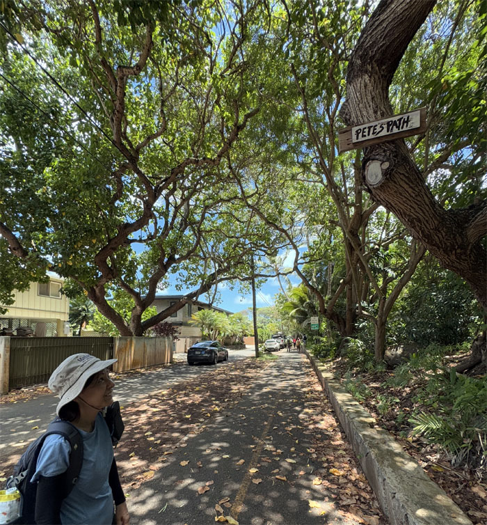
Kamehameha Highway
Getting our road legs back after an almost hour long bus ride.
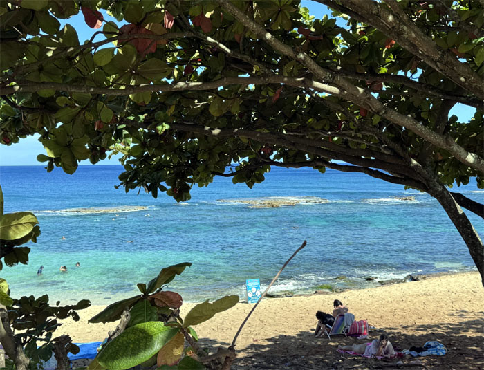
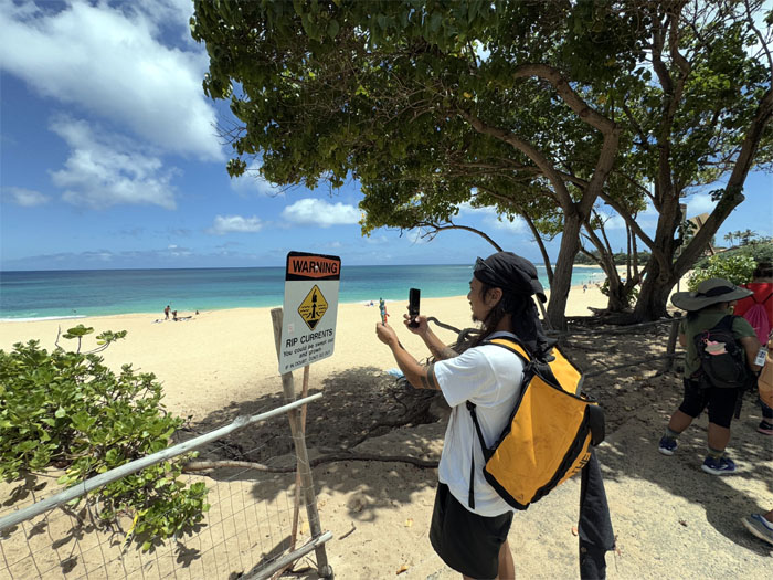
Waimea Beach
We going down there?
Waimea Beach
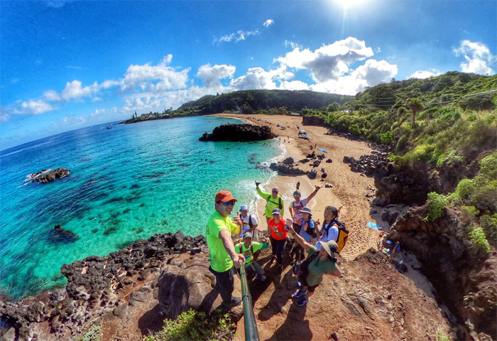
Group photo overlooking Waimea Bay, where the British ships Resolution and Discovery anchored in 1779 after Captain Cook was killed on the Big Island just two weeks prior. This was the first contact with Europeans on the island of Oahu.
Waimea Beach
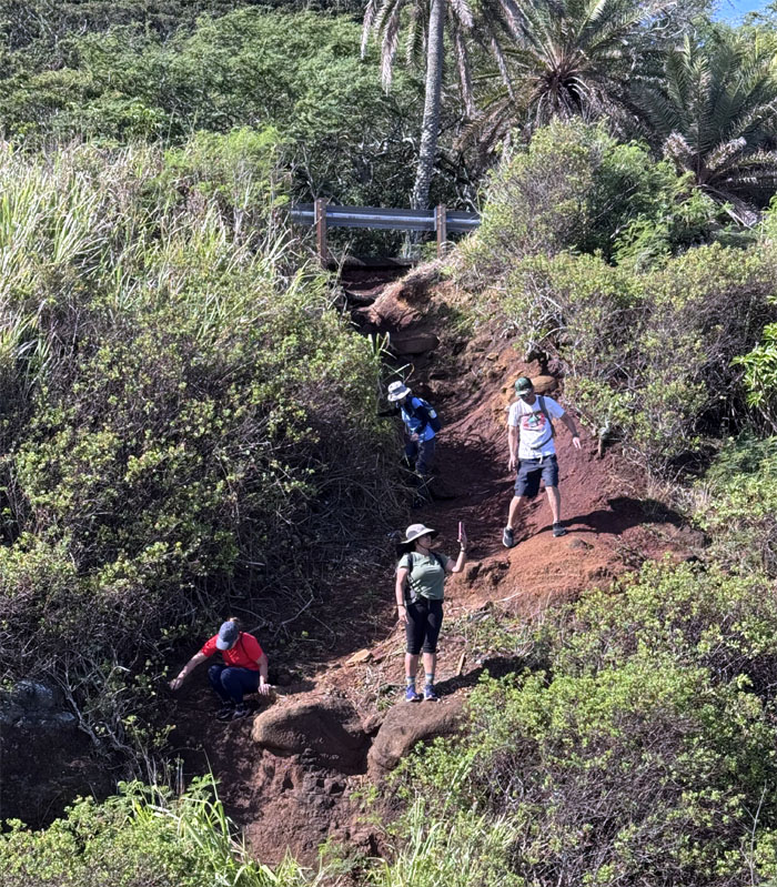
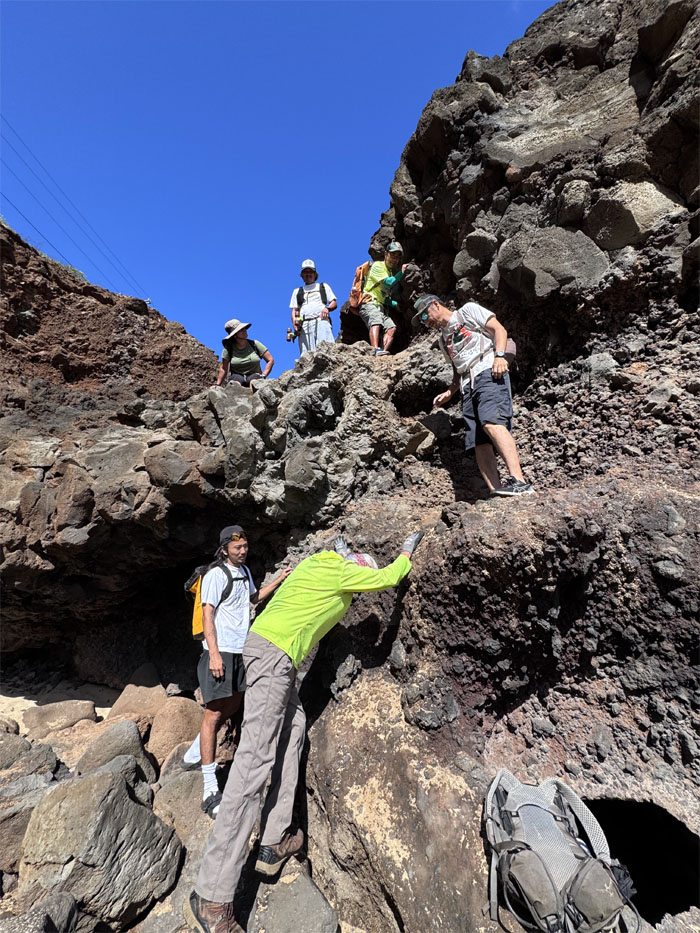
Teamwork gets everybody safely down to the beach.
Waimea Beach
Whac-a-Chris.
Waimea Beach
Shoes on? Shoes off?
Waimea Beach
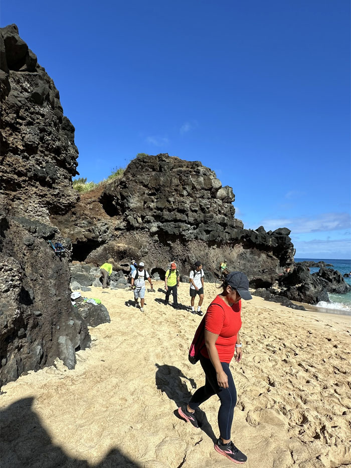
Walking the beach that is home to big wave surfing in winter, but now is home to swimmers and beach goers.
Waimea Beach
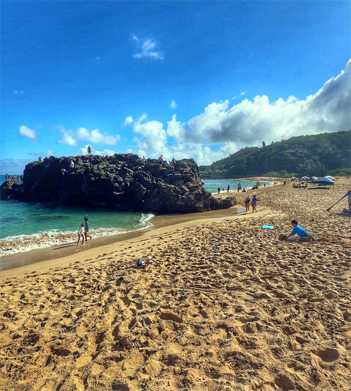
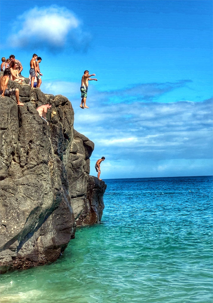
Jumping off “The Rock” is considered a rite of passage for local kids and kids at heart.
Waimea Beach
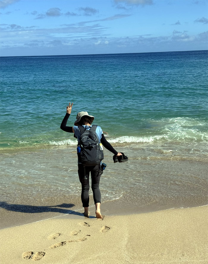
No jumping for Mari, getting her feet wet was good enough.
Waimea Beach
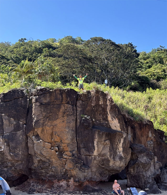
Dale and Chris decided to climb off the beach to stay high and dry.
Waimea Beach
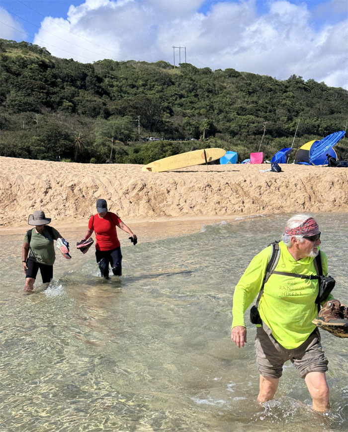
Fording the “reddish waters” to get to the other sandy side.
Kamehameha Highway
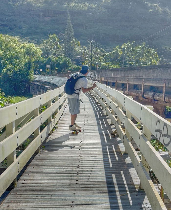
Chris skateboarding on the bypass bridge.
Kamehameha Highway
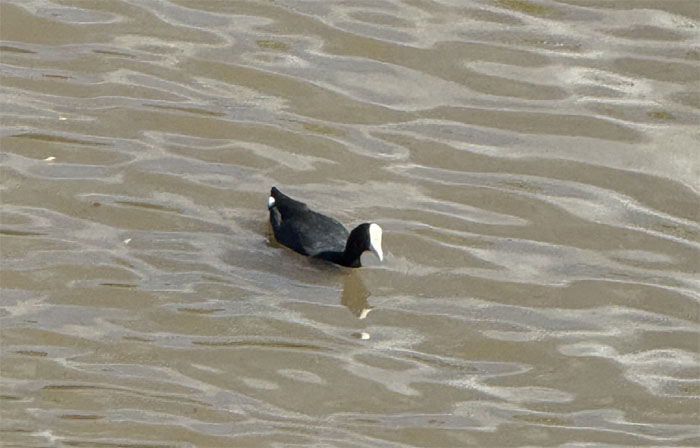
Dale spotted an endangered Hawaiian waterbird known as ‘alae ke’oke’o floating in the Waimea River.
Waimea Beach
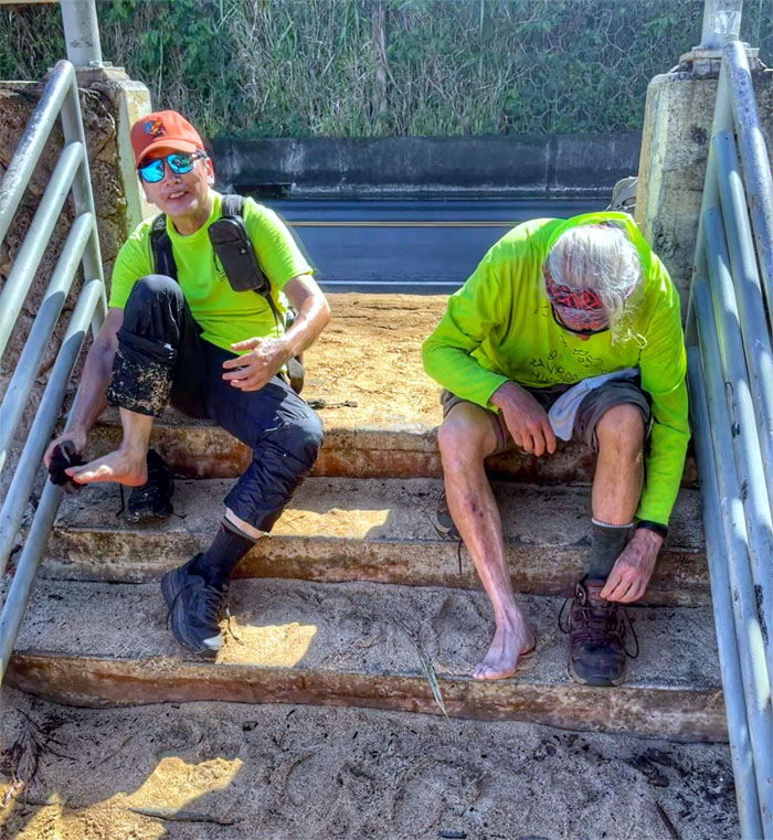
Wiping off the granular materials that come from decomposed rocks, organic by-products and parrotfish poop.
Kamehameha Highway
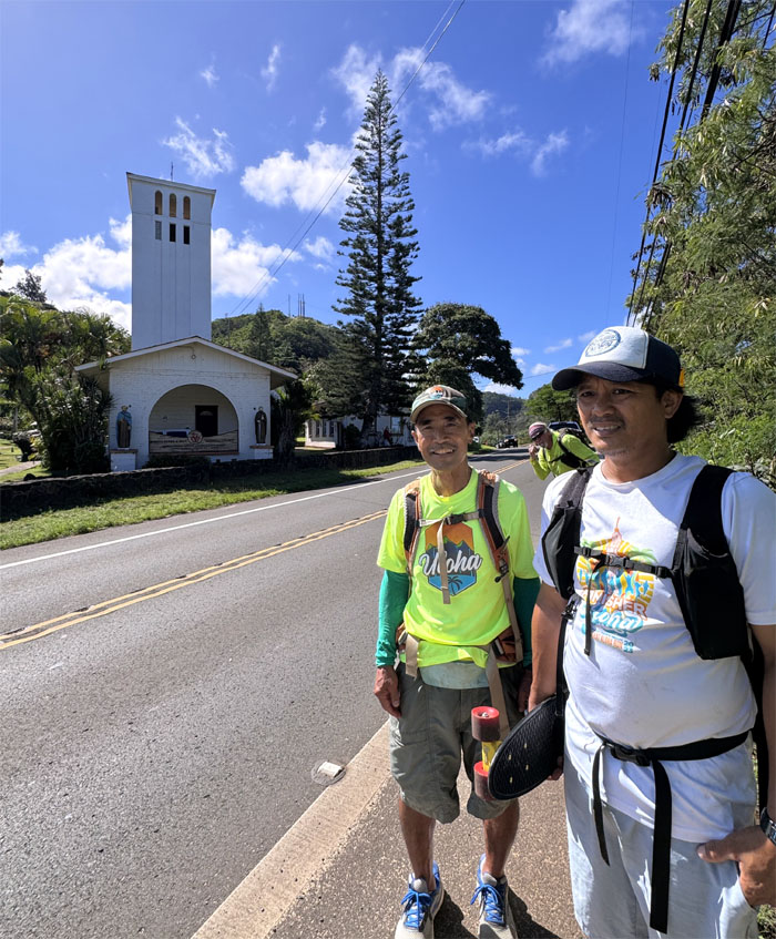
Dale and Chris with the Saints Peter and Paul Catholic Church in the background that was built in 1953 on the remains of an old quarry.
Kamehameha Highway
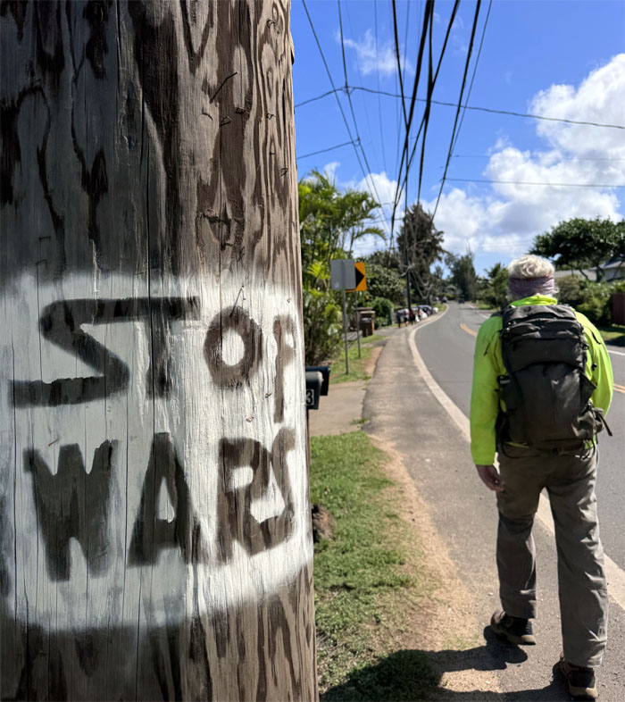
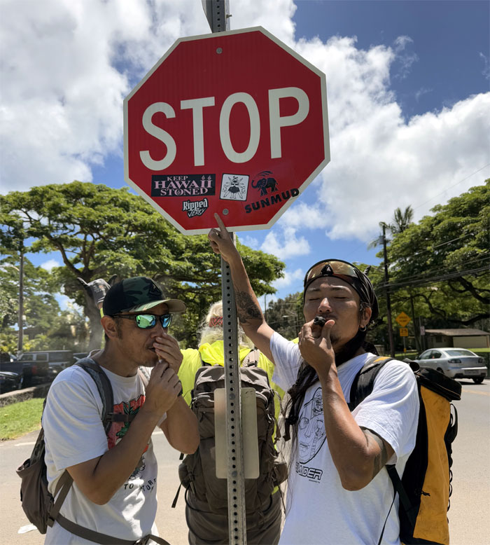
Star Wars? Stop Wars? I thought Trump stopped all the wars?
Three Tables
Looking out at the flat sections of reef popular with divers and snorkelers.
Kamehameha Highway
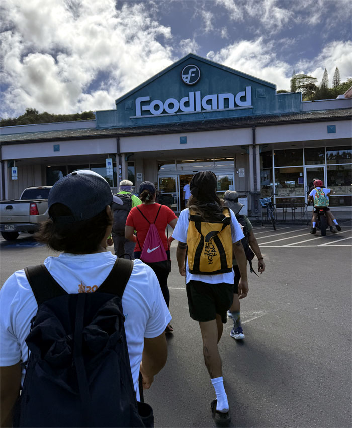
We detoured to the supermarket chain founded by Maurice Sullivan and the Lau family in 1948 for snacks and refreshments.
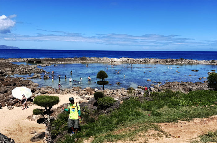
Shark’s Cove
Looking out past the “bonsai trees” and Dale towards the popular snorkeling and diving spot.
Pupukea Beach
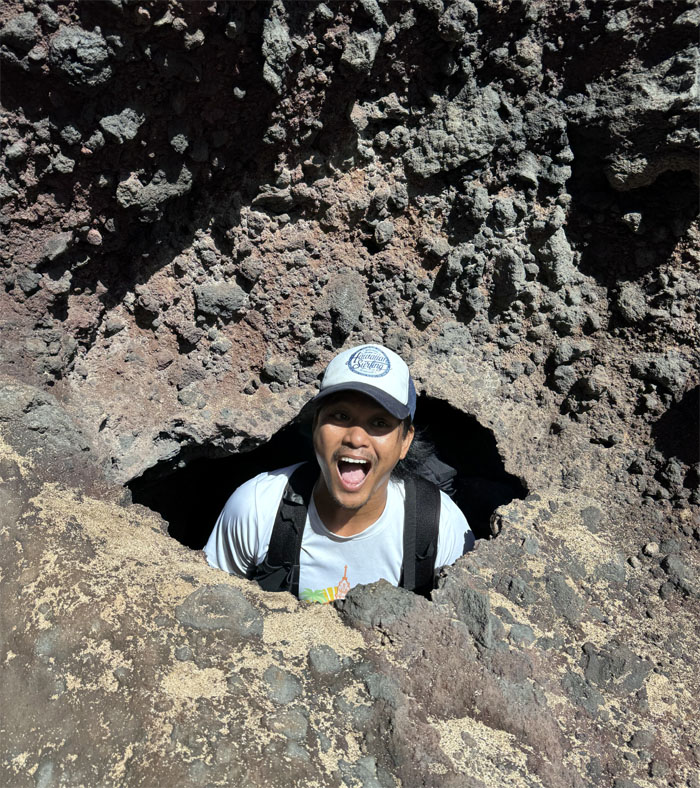
Dale took us on an exploratory detour.
Pupukea Beach
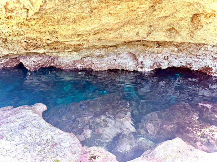
The Blue Cave or Blue Room, which leads into numerous sea caves that dot the coastline.
Pupukea Beach
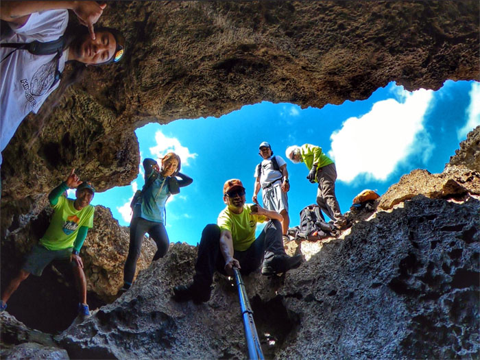
Partial group photo looking out.
Pupukea Beach
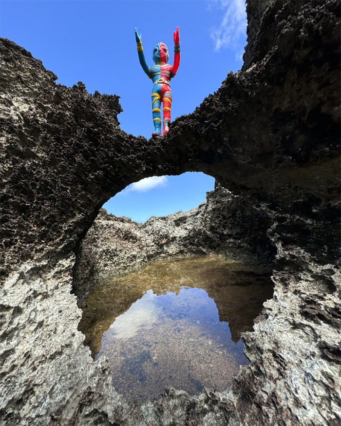
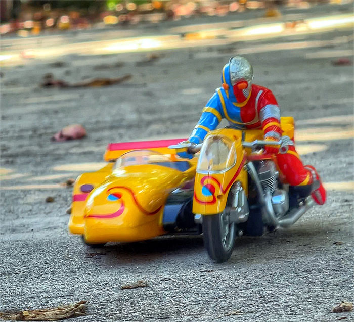
Kikaida sighting in the tide pools.
Kamehameha Highway
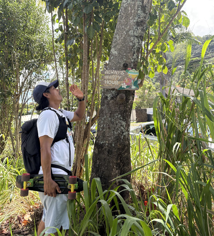
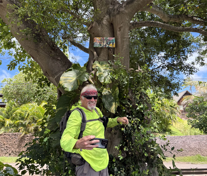
A truer statement has never been made. Especially for the person pictured.
Kamehameha Highway
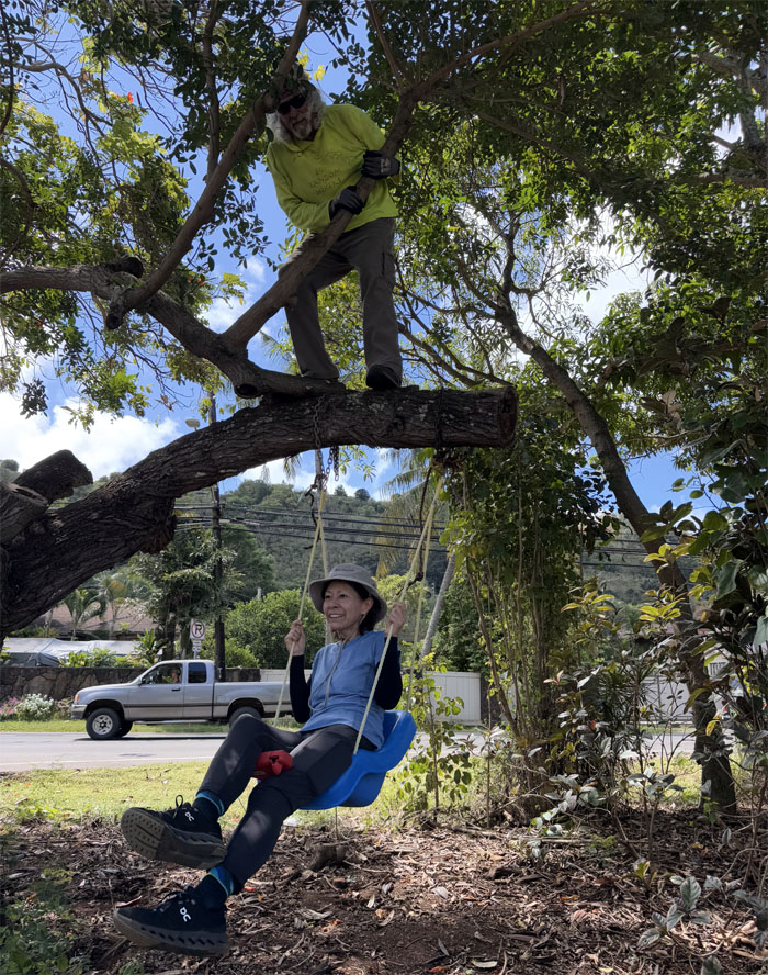
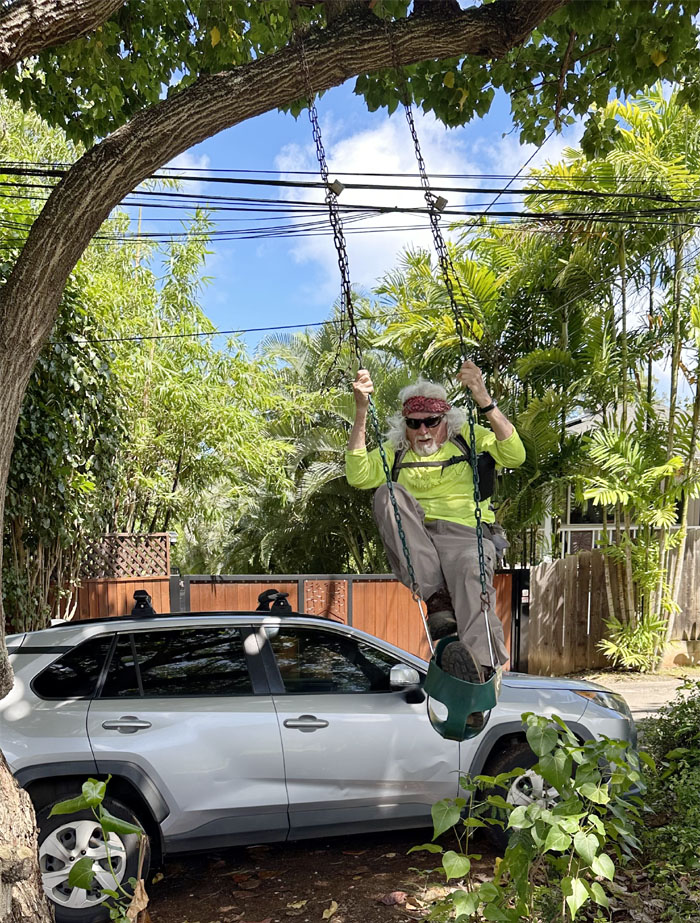
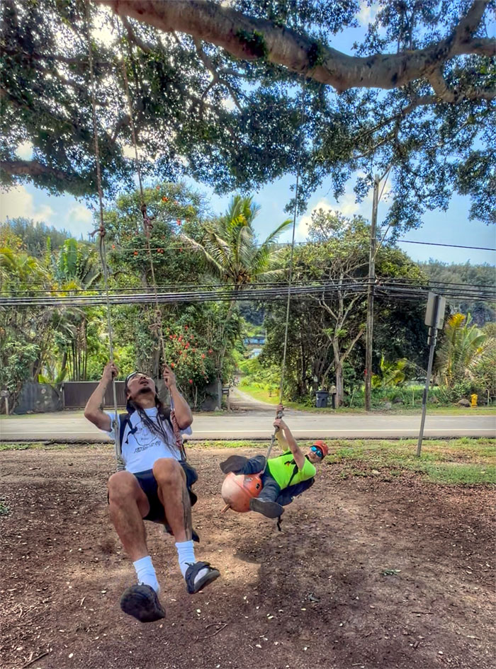
One of many swings we would encounter today.
Kamehameha Highway
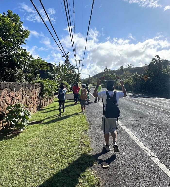
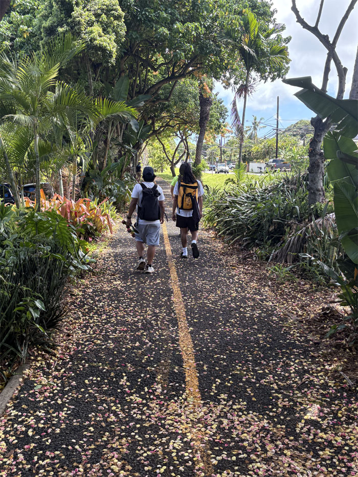
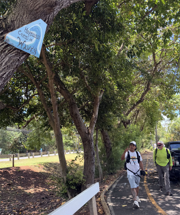
Walking on the bike path which kept us safe from highway traffic.
Kamehameha Highway
Find a swing your own size!
Kamehameha Highway
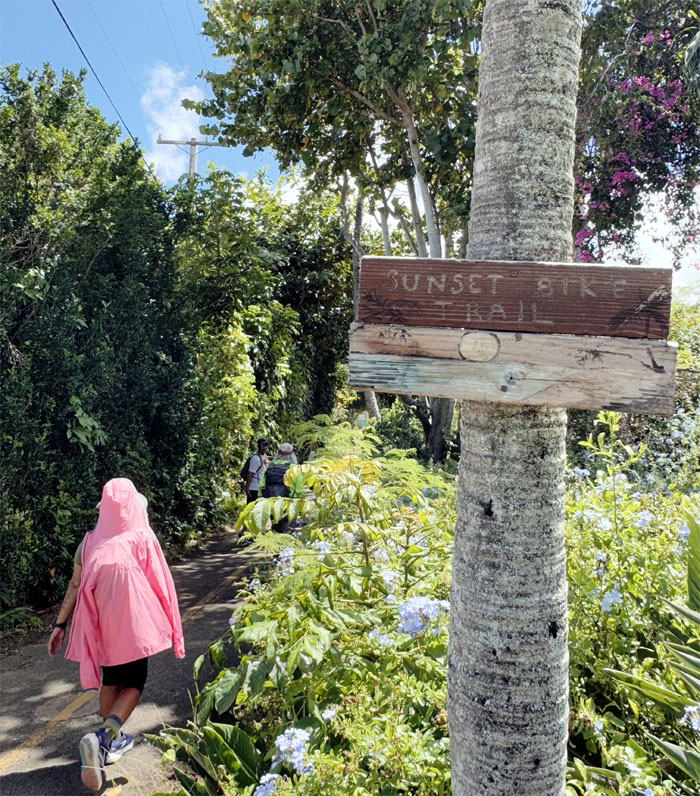
Following the tree covered path that will safely take us all the way to Sunset Beach.
Kamehameha Highway
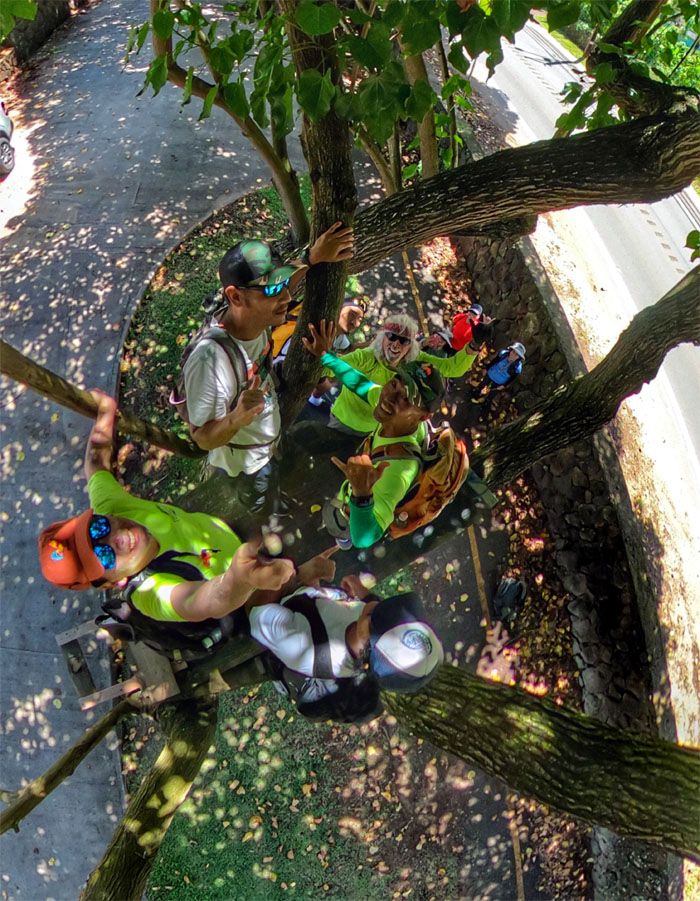
Just the guys checking out the treehouse.
Kamehameha Highway
Share the road.
Suitchi On! Wan! Tsu! Suri!
Saidomashin de Yattekuru
Jiro chenji Kikaida
If you grew up in Hawaii, you would know what I’m talking about.
Kamehameha Highway
Can’t out smile the sun. Need to use Crest 3d Whitestrips.
Kamehameha Highway
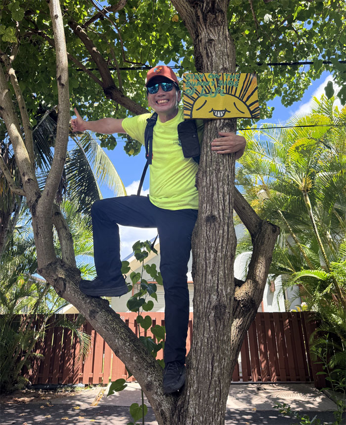
Akira and Kenny doing their part. Who’s that guy behind the sign?
Kamehameha Highway
In the flesh.
Kamehameha Highway
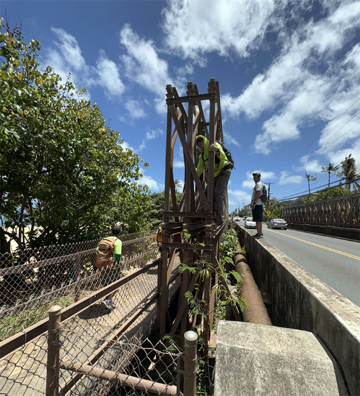
Trying to avoid a mid-air collision.
Kamehameha Highway
Does that apply to robots as well?
Kamehameha Highway
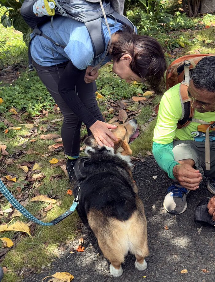
Mari and Dale petting a friendly dog. Domestication of dogs predates agriculture, between 20-40,000 years ago.
Kamehameha Highway
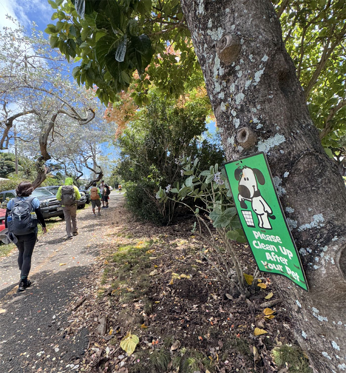
Need a bag?
Kamehameha Highway
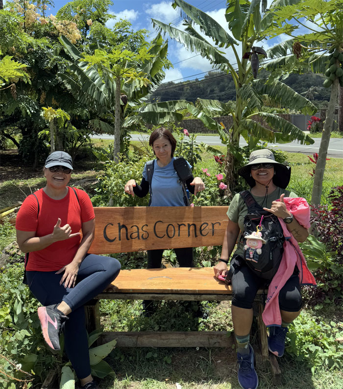
Who is Chas? Where is Chas?
Kamehameha Highway
Everyone has their own path. We will all get to the same destination.
Sunset Beach
Brief stop at the two mile stretch of sandy beach that was called Paumalau by the Hawaiians.
Kamehameha Highway
Is this a private road?
Kamehameha Highway
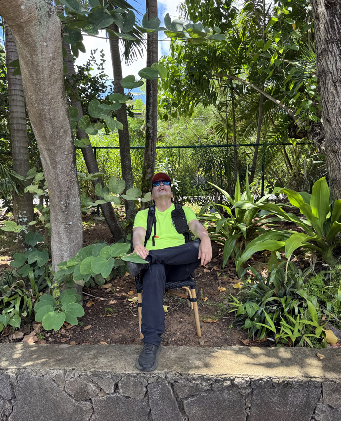
One of the few times that a chair is around when you need one.
Kamehameha Highway
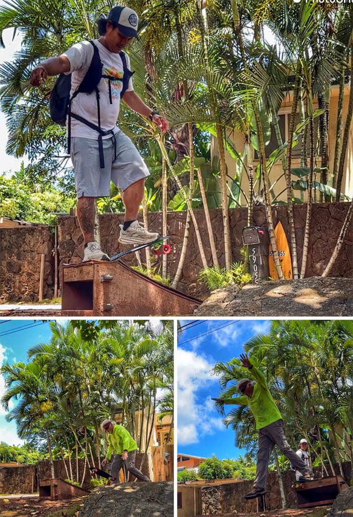
Ramp fails.
Kamehameha Highway
We are in the red zone. Flee to higher ground.
Kamehameha Highway
Just need chicken and green papaya now.
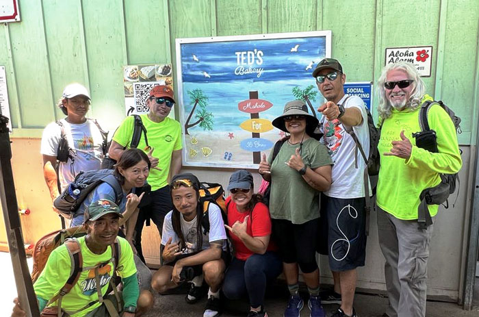
Ted’s Bakery
We had lunch at the local eatery that is a long time North Shore fixture. It was originally called Sunset Beach Store that opened in 1956 and later became what it is today when the son opened up a bakery and started selling pies and plate lunches in 1987.
Kamehameha Highway
End of the line. Back on the highway.
Kamehameha Highway
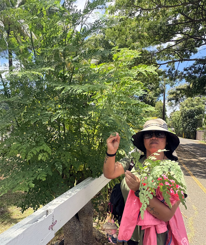
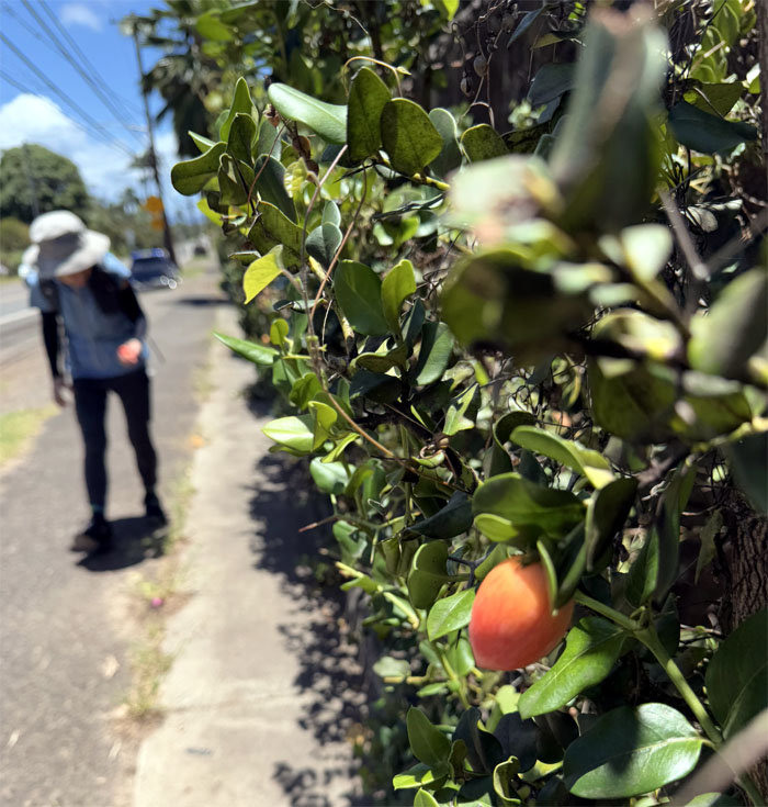
Mari sampling the carissa berries that populated this stretch of the road.
Kamehameha Highway
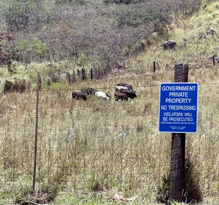
Which ones will make the cut for USDA Prime?
Kamehameha Highway
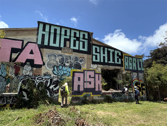
Exploring the abandoned buildings that used to be part of the Waialee Home for Wayward Boys.
Sheepside
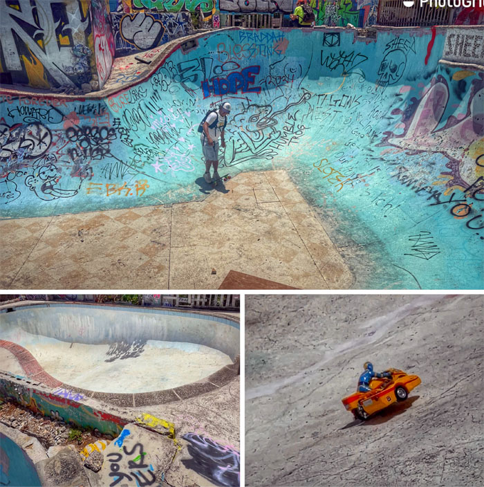
Checking out the skatepark that skaters, Tippy and friends built in 2016.
Kamehameha Highway
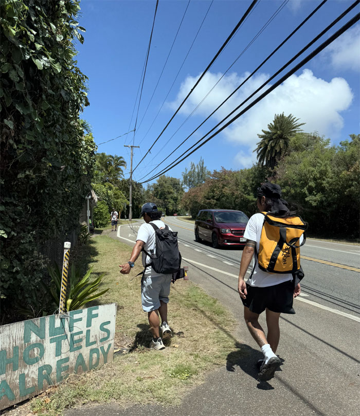
What hotels? We must be walking in the wrong direction.
Kamehameha Highway
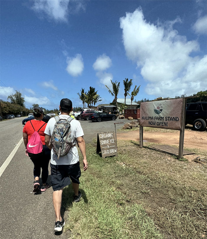
Stopping at Kuilima Farms to grab snacks and refreshment and shade from the sweltering sun.

Kamehameha Highway
Just missing the rubber papayas.
Kamehameha Highway
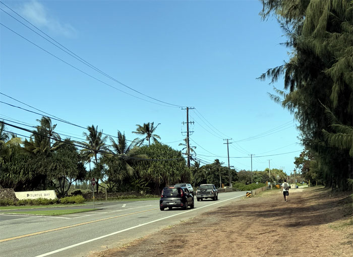
Passing one of two hotels on the coastline, Turtle Bay is probably the largest employer on this side of the island.
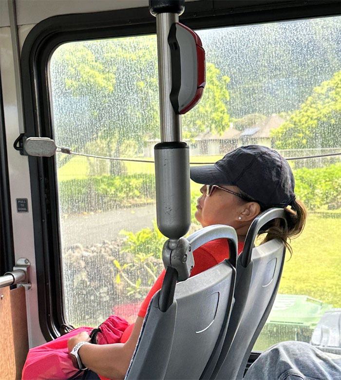
All pau
Enjoying the air conditioned ride back to our cars.
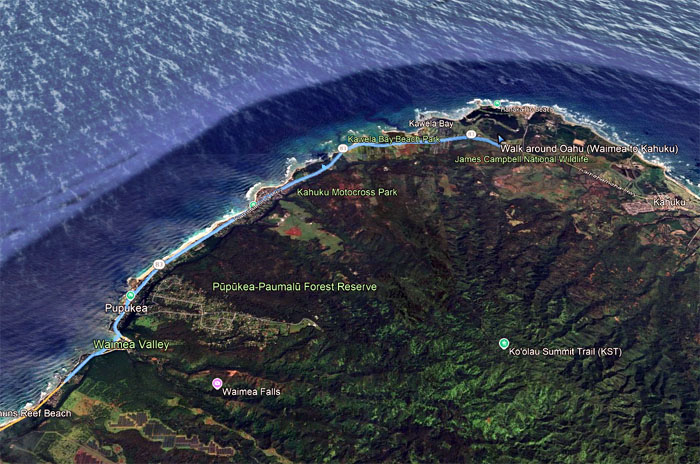
GPS Tracks
Our 10th perimeter walk covered 8.88 miles with fun company. No post hike meal as it was getting late and we ate enough on the walk to fill our tummies.
Photos taken by Akira Suzuki, Chico Cantu, Chris Bautista, Dale Yoshizu, Kenny Lui, Mari Saito, Marilyn Bermudez, Tessa Bugay and yours truly. Not necessarily in order.
Note: I have been made aware that some hikers have been using my blog as a hiking guide and getting lost on the trails. Please note that this blog was made to document the hike for the crew(s) that did it. That is why some of my comments will seem to have no relevance or meaning to anybody outside of the crew(s) that hiked that trail. My blog was never meant as a hiking guide, so please do not treat it as such. If you find inspiration and entertainment from these hikes, that is more than enough. If you plan on replicating these hikes, do so in the knowledge that you should do your own research accordingly as trail conditions, access, legalities and so forth are constantly in flux. What was current today is most likely yesterdays news. Please be prepared to accept any risks and responsibilities on your own as you should know your own limitations, experience and abilities before you even set foot on a trail, as even the “simplest” or “easiest” of trails can present potential pitfalls for even the most “experienced” hikers. One should also always let somebody know of your hiking plans in case something doesn’t go as planned, better safe than sorry.
{ 6 comments… read them below or add one }
Awesome video brother ????????
Aloha Chico
Fun times as always
Mahalo
Fun walk but soooo hot ???? LOL… fresh fruit snacks were yummy tho
Aloha Tessa,
Yep, it was so hot that day. Glad we cut it short a bit.
Mahalo
Great documentation and information of the places on our road hike!
Aloha Dale,
Thanks for coming!
Mahalo