
It was that time to play Santa Claus and bring Christmas cheer to the mountains this weekend.
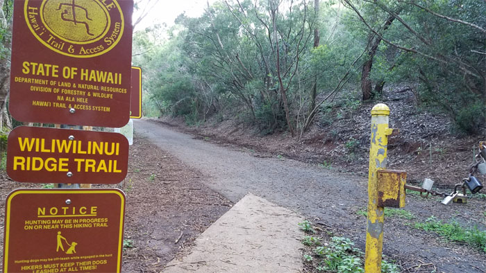
Passing the gate, several two and four legged hikers kept me company on the trail until the stairs section.
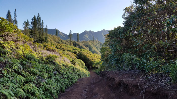
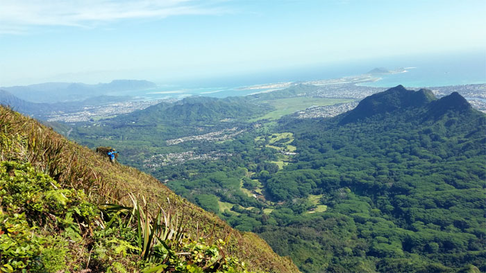
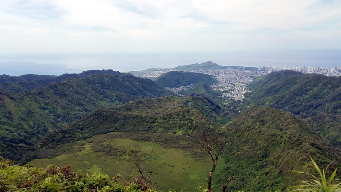
The mountains were strikingly clear against the blue backdrop of the sky. Why can’t every day on the trails be like today?
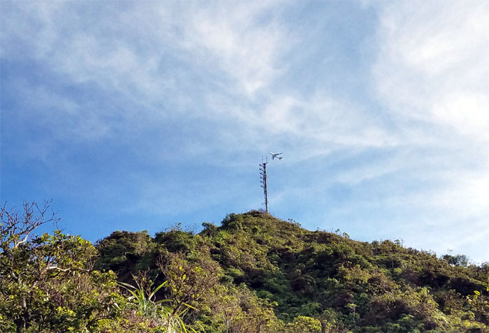
Approaching the summit that is landmarked with the communications tower. Plane optional.
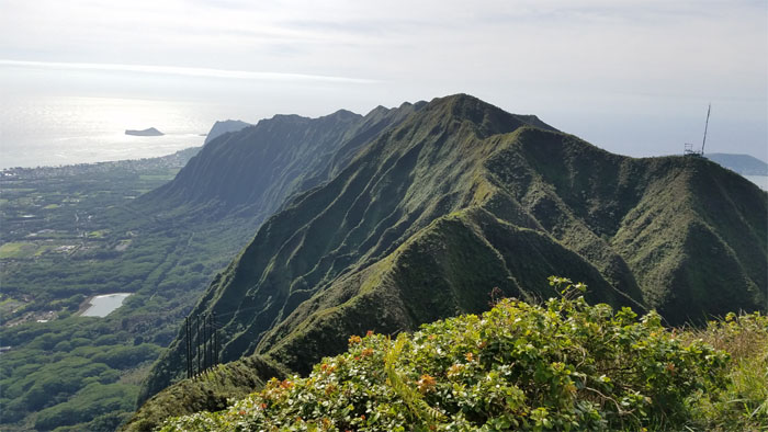
I had the panoramic view all to myself at the top.
Left the 2,480′ summit to thread my way through the new HECO poles on the ridge.
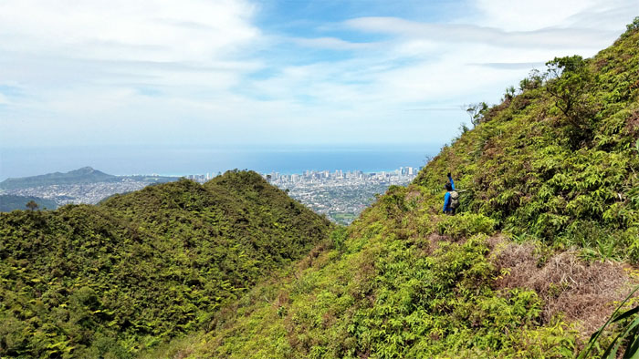
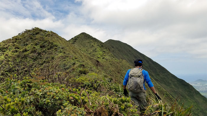
Looking at the streak in blue catch up to me on the ridge line.
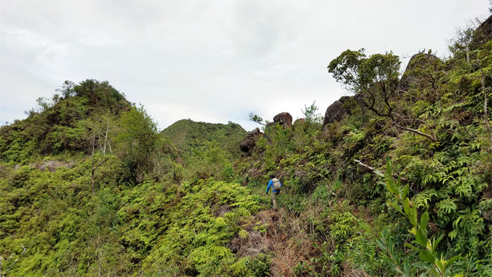
Chris standing on the path that Dick Davis took on his way down.
It was a toss up if the Mau’umae trail has more ups and downs than this section that we were doing. I think I would rather do the cross over.
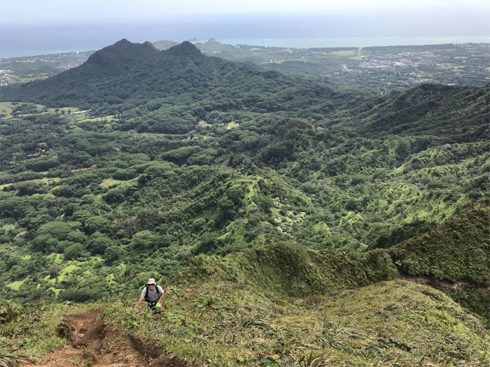
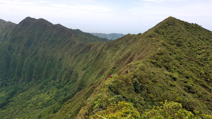
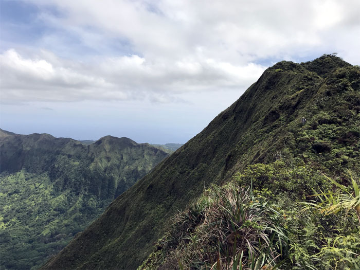
Dropping down from the big hill to the valley views.
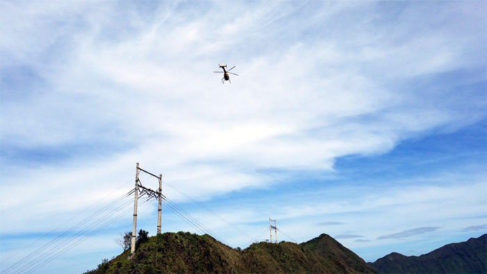
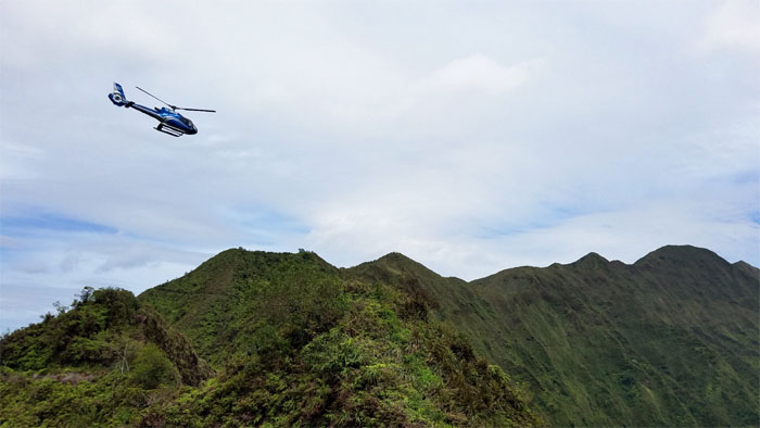
HFD Chopper looking for tourists disguised as hikers in distress?
One day I want to row, row my boat across this marsh.
Climbing to the summit of Awaawaloa. Photo by Chris Bautista
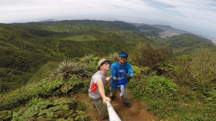
Hydrating at the 2,486′ summit.
Taking a break from the ridge and enjoying the relatively wide open contour trail.
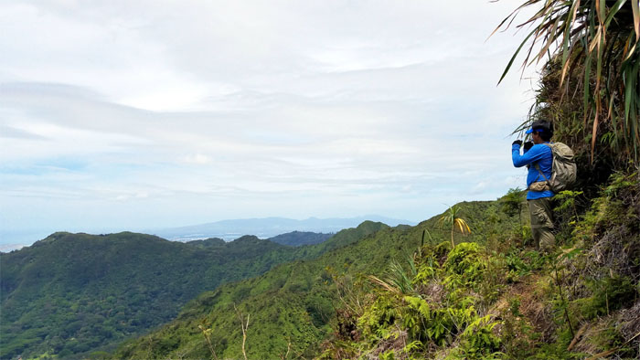
Looking out towards hazy views of the Waianae Mountain Range.
Blue tour helicopter searching for views for their paying customers.
The contour trail soon ended shortly past sedan rock and we got back on the ridge trail.
It was a pleasant surprise to run into Lita’s group at the flat clearing, as they had come up from Manoa Valley.
Resuming our hike on the ridge line, we bumped into Janell’s group who had come down from K2.
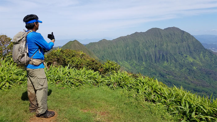
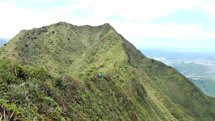
Chris heading to the crown jewels of the Ko’olau’s.
Traversing between the two summits. Photo by Chris Bautista.
Almost there.
The summit was one of the clearest days that I can recall being here, I almost didn’t recognize or more accurately believe we were standing on the highest point on the Ko’olau Mountains.
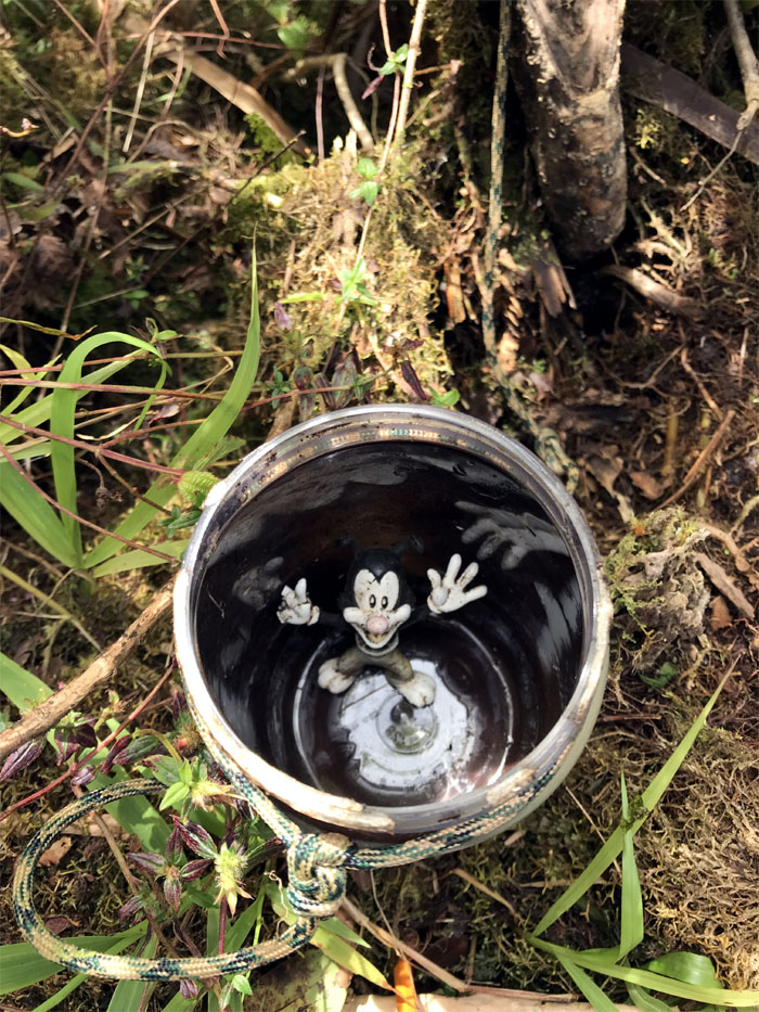
The things that you find in geocaches.
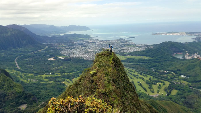
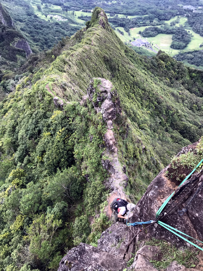
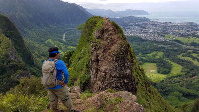
Chris with a commanding view below him.
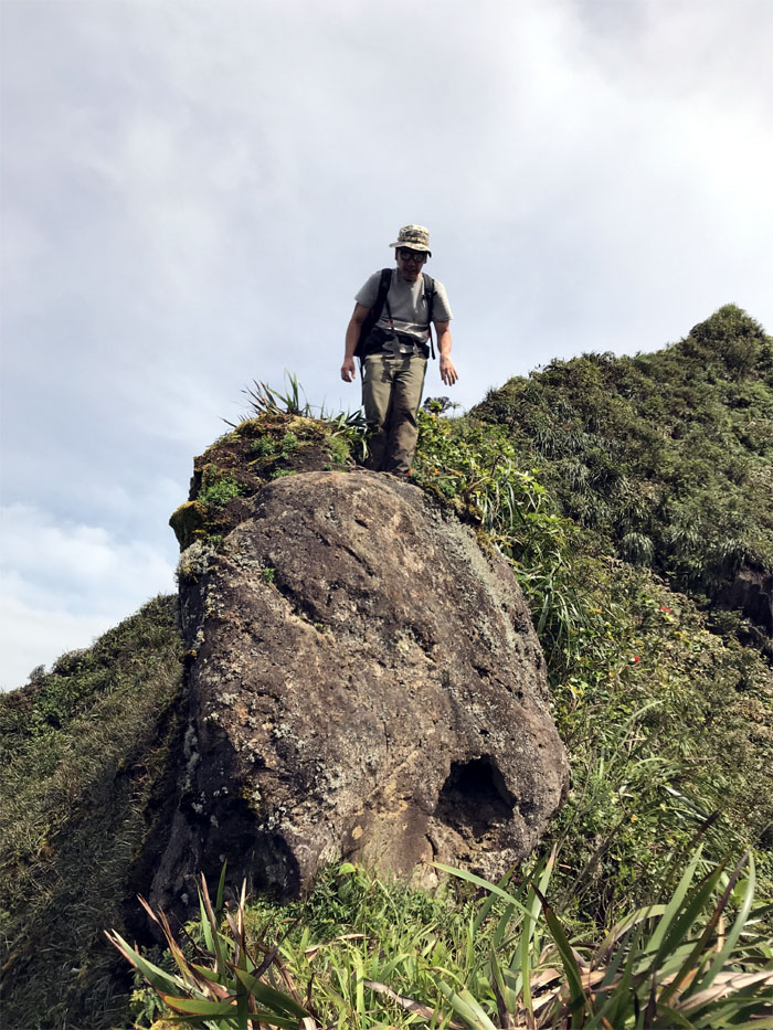
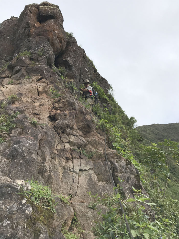
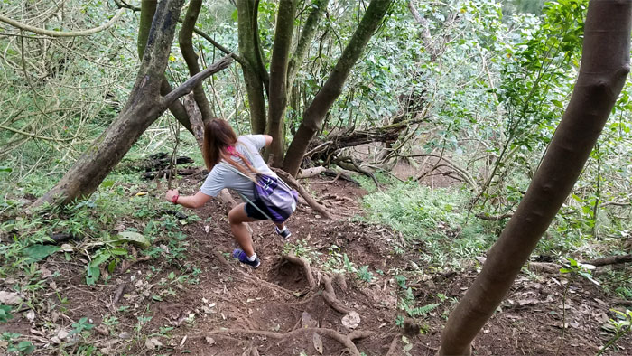
A lot easier going up than coming down this rock. Maybe it’s just me. Photo by Chris Bautista
The ridge soon lost most of it’s vegetative character and took on a more crumbly note.
Making my way around the contour. Always mindful of what happened here. Photo by Chris Bautista.
Time to pass out lumps of chossy rocks. Photo by Chris Bautista
Sitting on the nipple and watching Chris getting ready to come down. Photo by Chris Bautista.
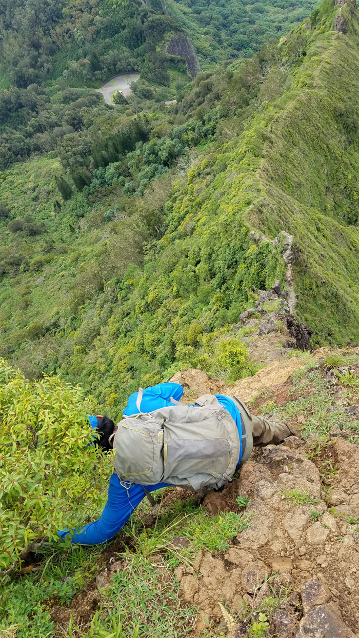
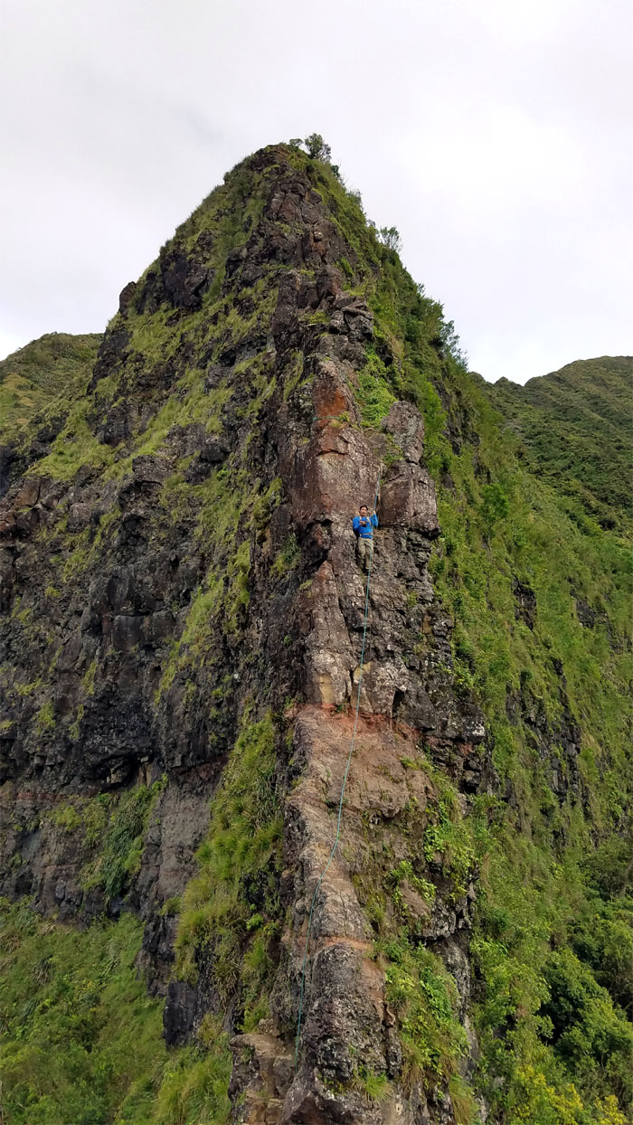
Chris coming down the Chimney.
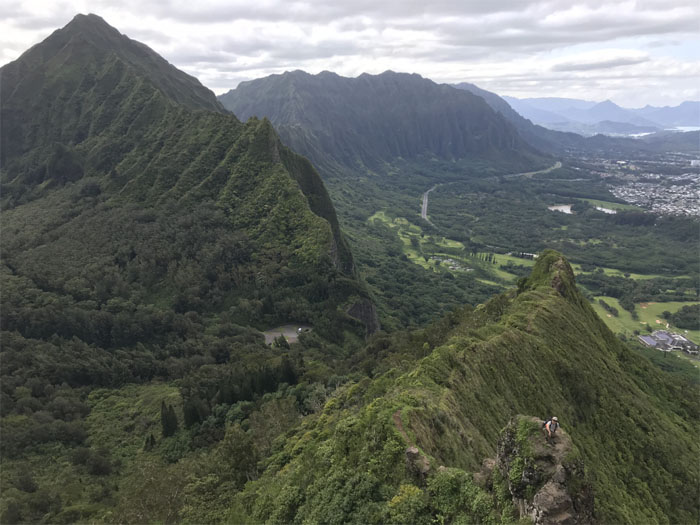
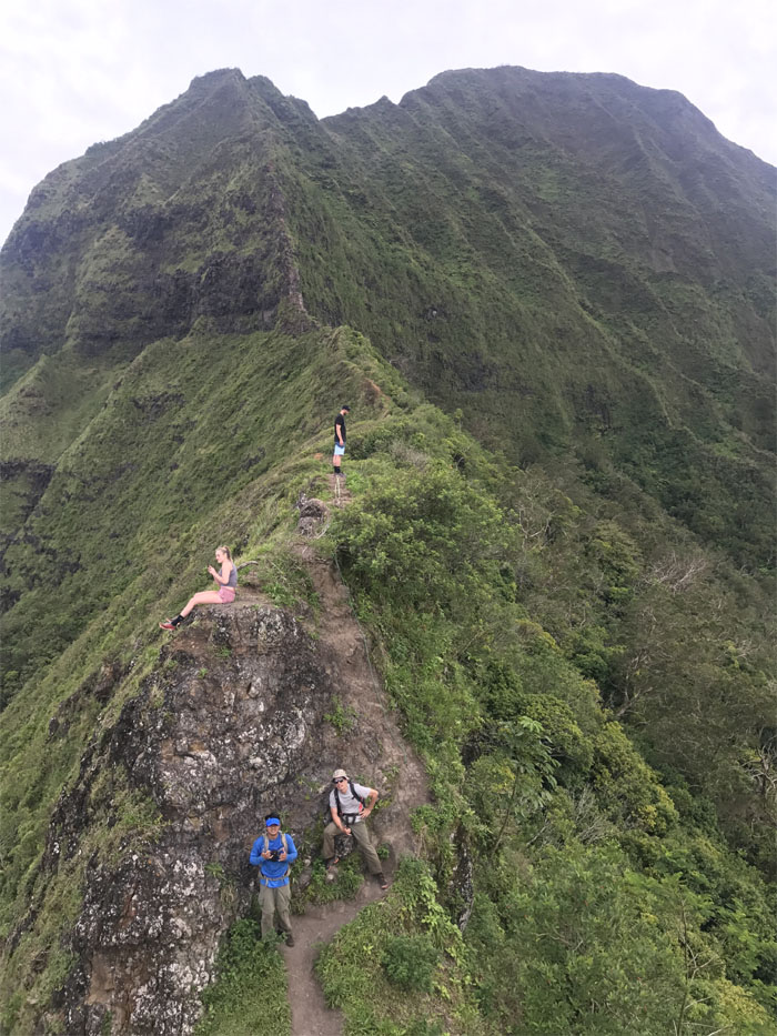
Approaching the second notch, where Analyn was waiting for us.
We unintentionally crashed somebody’s photo shoot. Photo by Analyn Balisco.
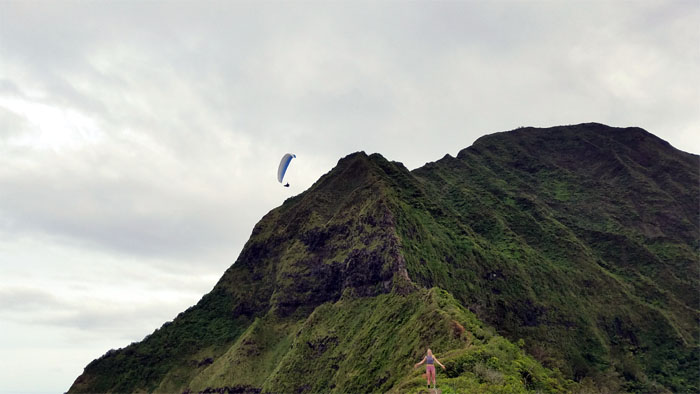
A paraglider skimming the saddles also photo bombed the other group.
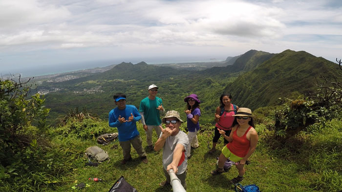
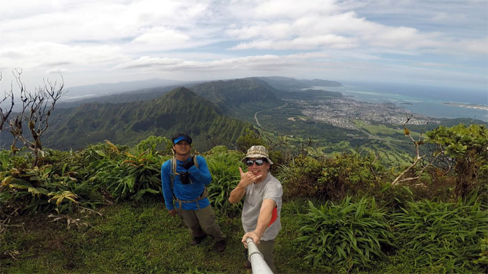
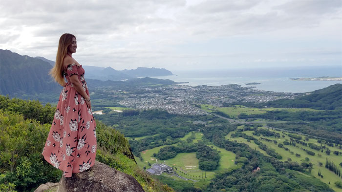
Now it was time for our photo shoot.
Time to pack up our dresses and head back down.
Mahalo to Analyn for meeting us at the notches and taking us back to our cars.
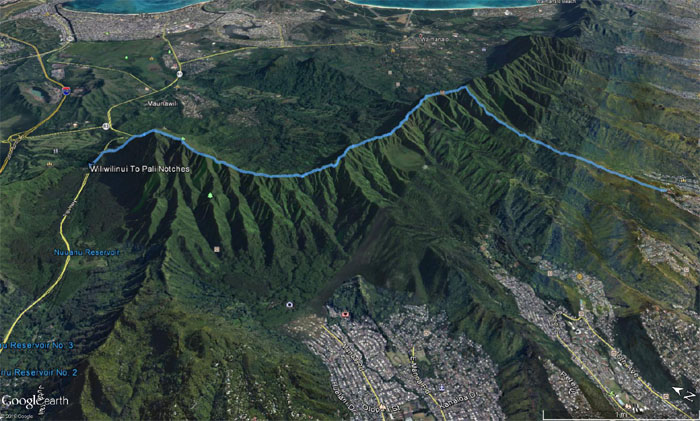
Our crystal clear day on the mountains covered 7.54 miles from start to finish. Great hike with Chris but coming down from K1 seemed harder than in the past. It was somewhat unsettling to be honest. Post hike meal at Pieology. Coming soon to a shopping mall near you.
Note: I have been made aware that some hikers have been using my blog as a hiking guide and getting lost on the trails. Please note that this blog was made to document the hike for the crew(s) that did it. That is why some of my comments will seem to have no relevance or meaning to anybody outside of the crew(s) that hiked that trail. My blog was never meant as a hiking guide, so please do not treat it as such. If you find inspiration and entertainment from these hikes, that is more than enough. If you plan on replicating these hikes, do so in the knowledge that you should do your own research accordingly as trail conditions, access, legalities and so forth are constantly in flux. What was current today is most likely yesterdays news. Please be prepared to accept any risks and responsibilities on your own as you should know your own limitations, experience and abilities before you even set foot on a trail, as even the “simplest” or “easiest” of trails can present potential pitfalls for even the most “experienced” hikers.





{ 0 comments… add one now }