
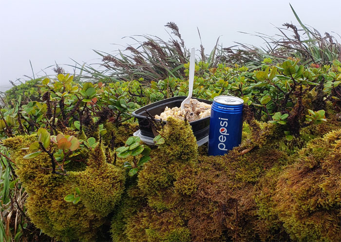
Back for another grinder in the mountains. Misery loves company. I had a lot of them today.
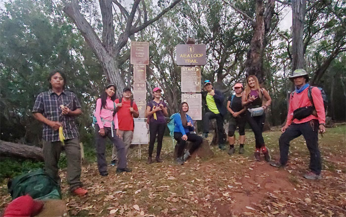
Aiea Loop Trail
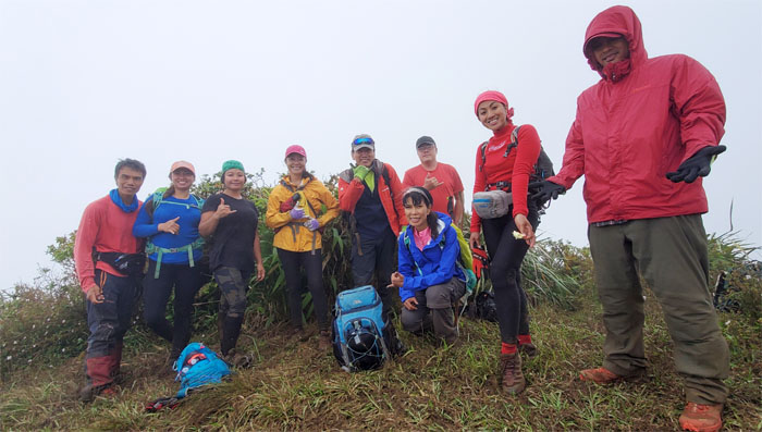
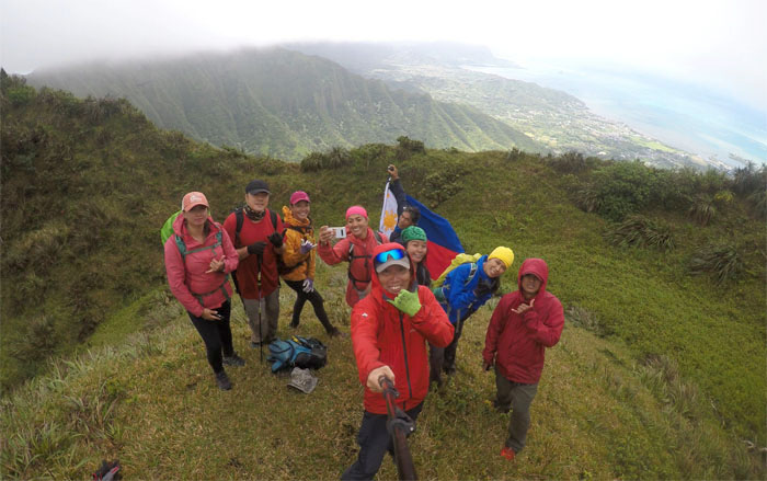
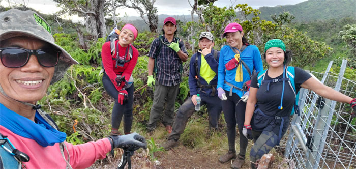
Thanks to Jasmin and Art’s brother for dropping us off at the park before the gates opened. Group photo left to right: Chris, Aida, Art, Lilyn, YawYaw #1, myself, YawYaw #3, YawYaw #2 and Ferlino.
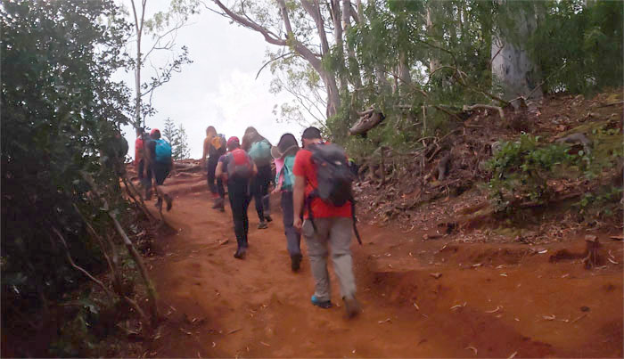
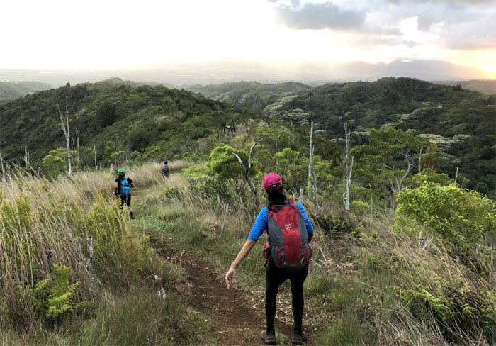
Aiea Loop Trail
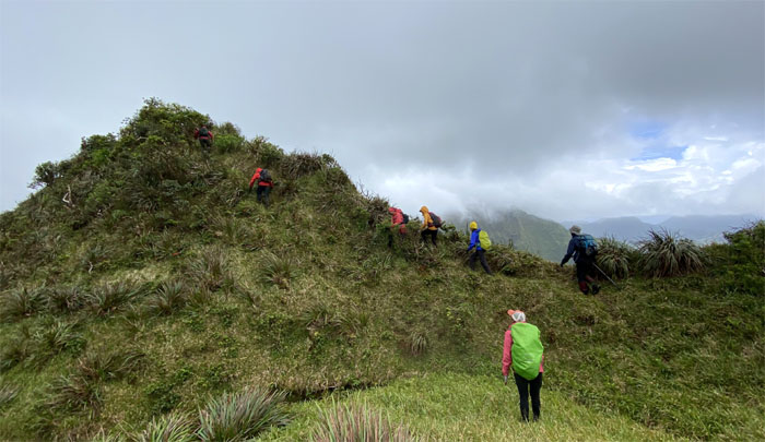
The group pushing off on the rooted trail.
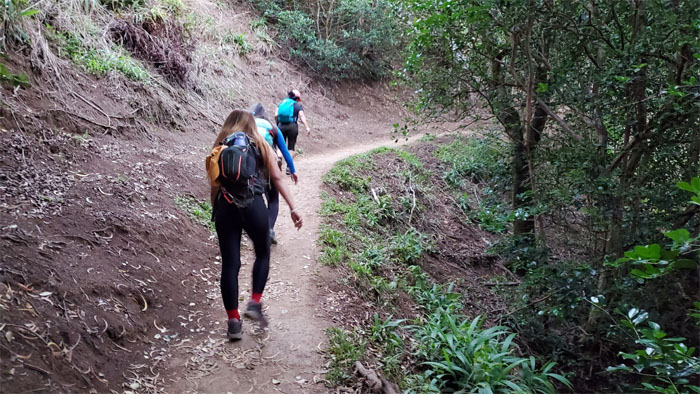
Aiea Loop Trail
Enjoying the easy part of the hike while it lasts. Photo by Aida Gordon.
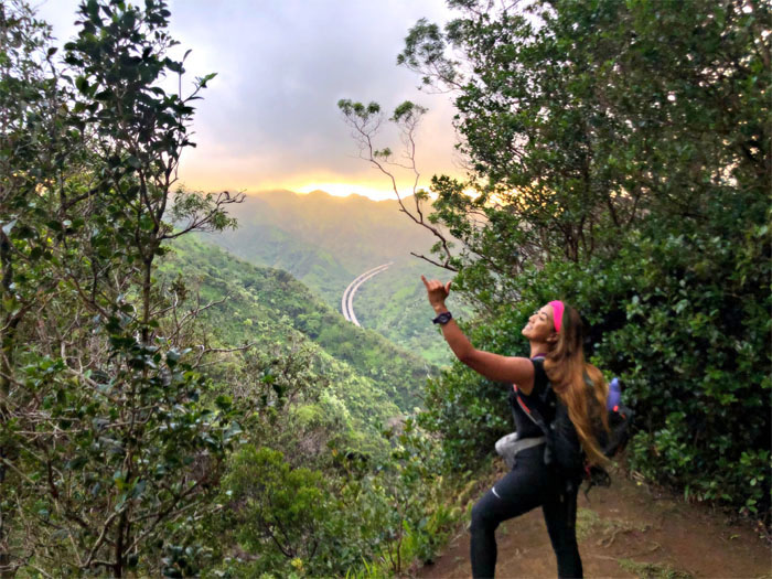
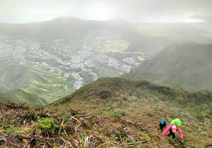
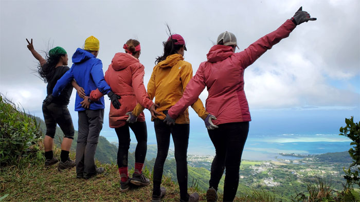
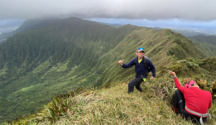
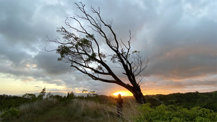
Sunrise
Greeting the sunrise with a shaka. Photo by Chris Bautista.
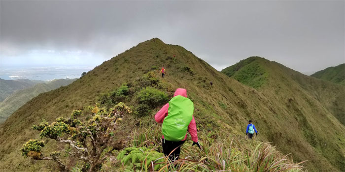
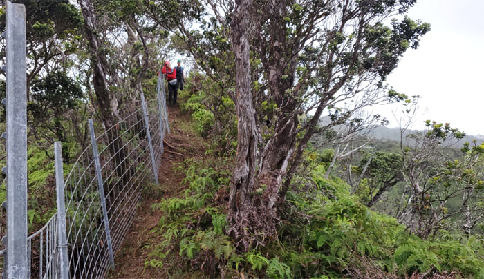
Aiea Ridge Trail
Analyn digging past her double shot espresso cans and boiled eggs as she looks for her makeup bag. Photo by Tessa Bugay.
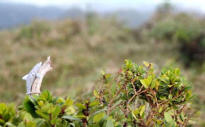
Pu’u Kawipo’o
It was just me and the dolphin at the windy 2,441′ summit.
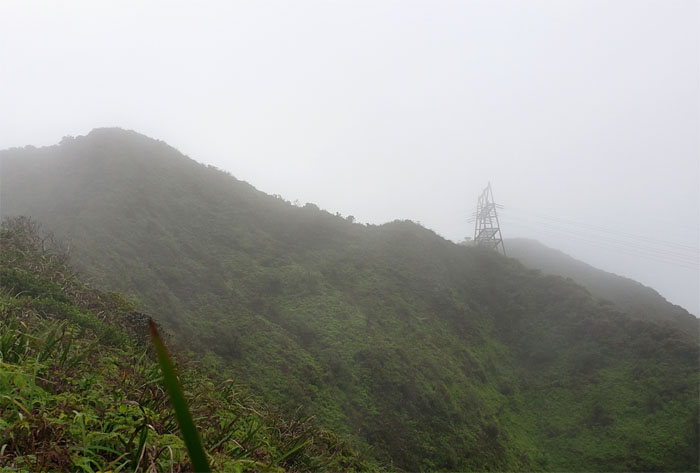
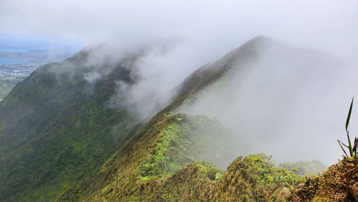
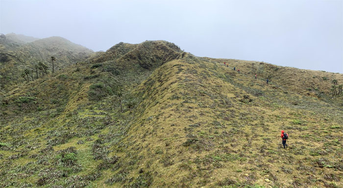
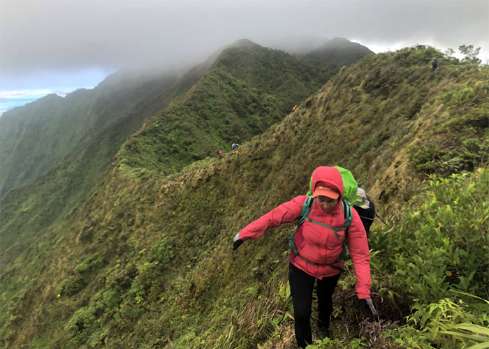
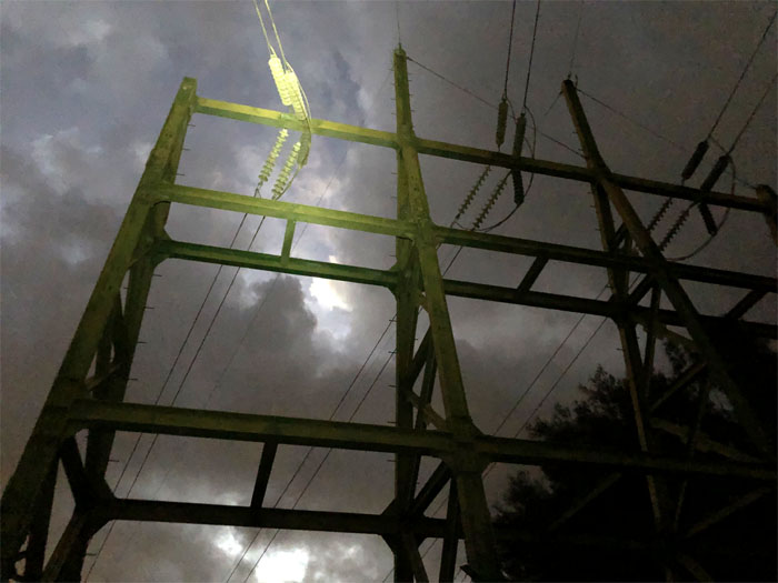
Aiea Ridge Trail
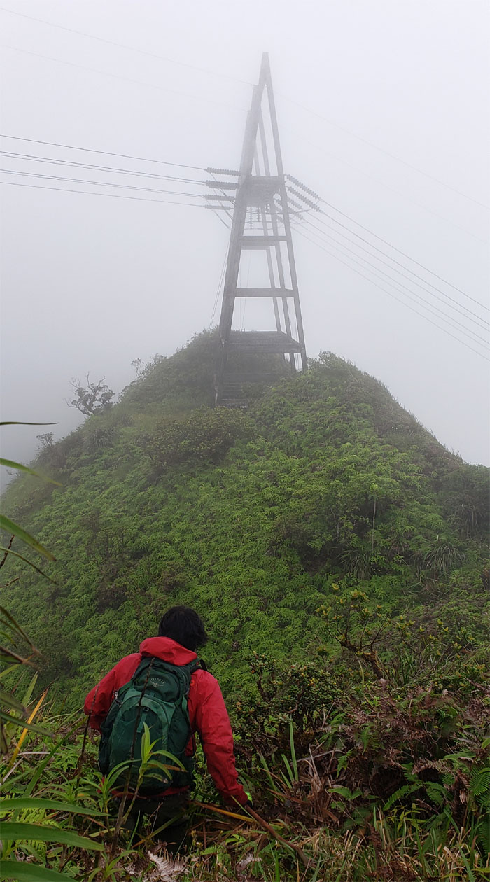
Approaching the power lines tower as the clouds settled in and blanketed the mountains.
Aiea Summit
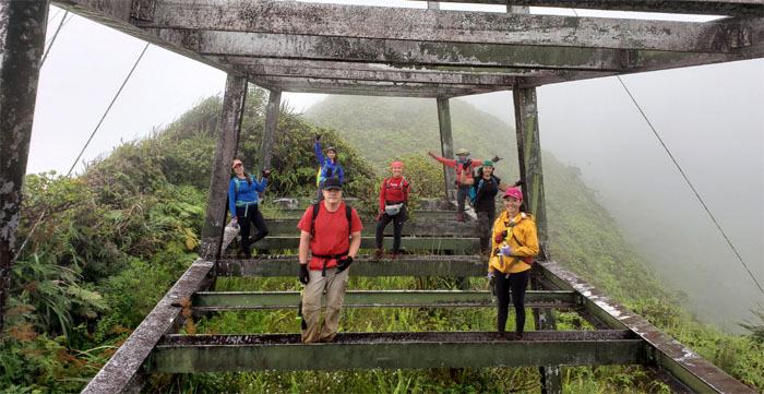
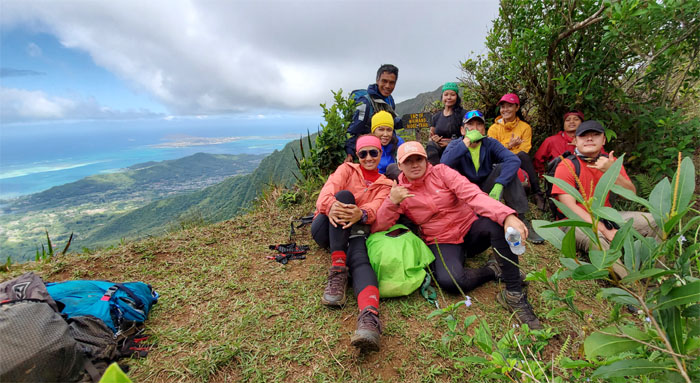
Group photo at the 2,805′ summit where we found no views and no sign. Photo by Ferlino Carinio.
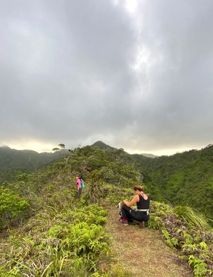
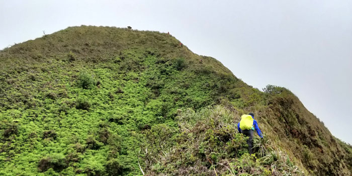
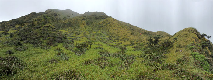
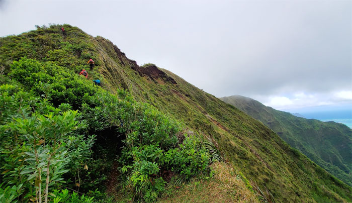
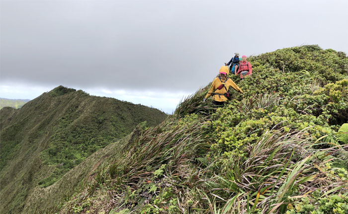
Ko’olau Summit Ridge Trail (KSRT)
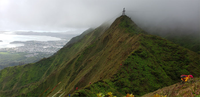
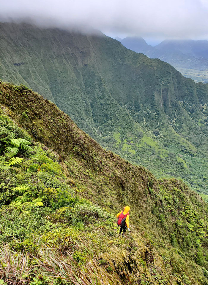
Chris descending towards the second power lines tower that straddle the mountains.
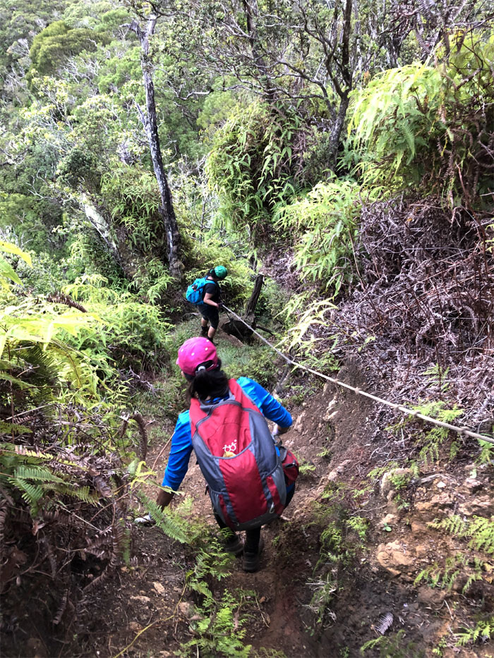
KSRT
Making sure everybody was grounded to prevent any static discharges.
KSRT
Starting our roller coaster of a hike.
KSRT
Anne and Tessa going primate as they climbed up the seemingly never ending hills. Photo by Art Young.
KSRT
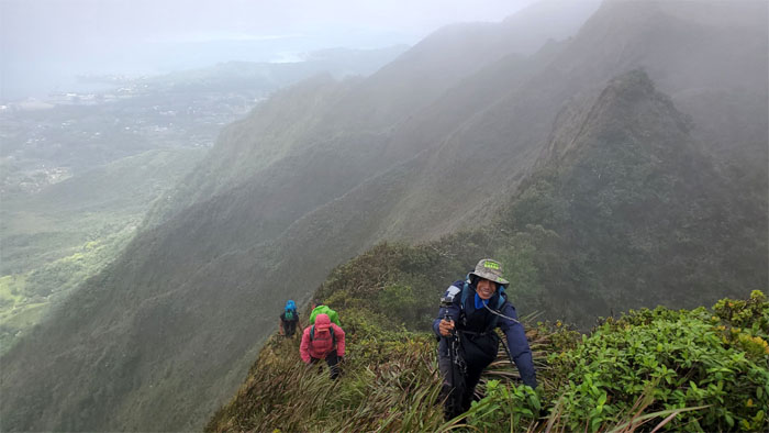
Aida making her way on the ridge.
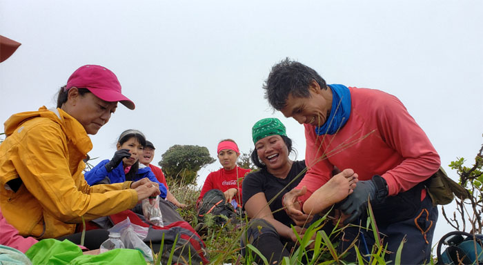
Mountain clinic
Tessa had some major bulging blisters on her foot; but with Lilyn’s medical tape and Ferlino’s magic hands, she was ready to get back on the trail.
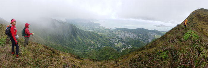
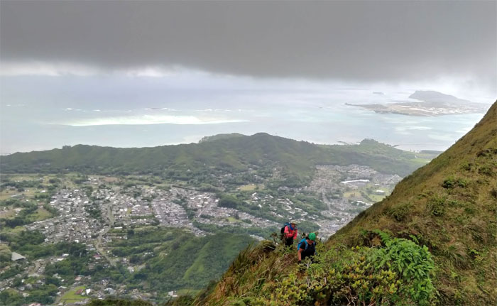
KSRT
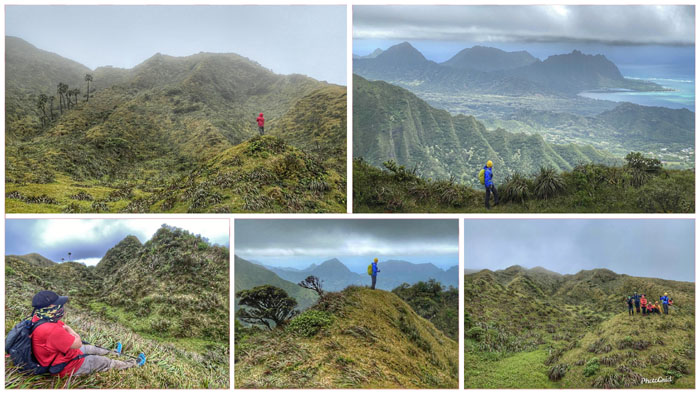
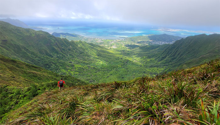
Panoramic view of the Windward coastline.
KSRT
The group maintaining social distancing on the trail. Photo by Art Young.
KSRT
Ferlino sweeping the trail. Photo by Art Young.
Kalahaku Teeth
Aida looking at the toothy ridge as it sloped down from the mountain range. Photo by Art Young.
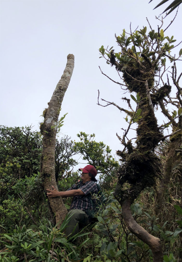
White ginger
Chris rooting out the aromatic rhizome. To eat or not to eat?
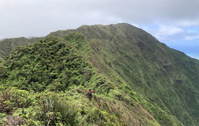
KSRT
Looking back as the ridges seemed to keep the clouds collected on the Leeward side. Photo by Aida Gordon.
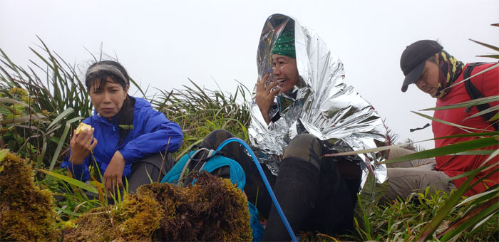
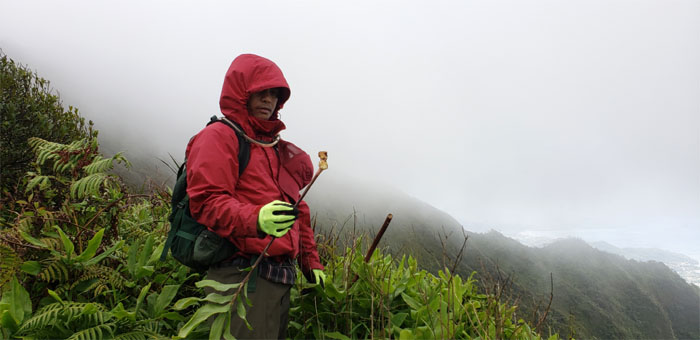
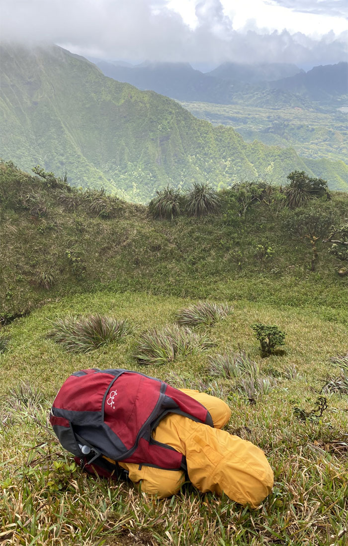
Waimalu Summit
Tessa shivering in a space blanket. Who said you can’t freeze in Hawaii?
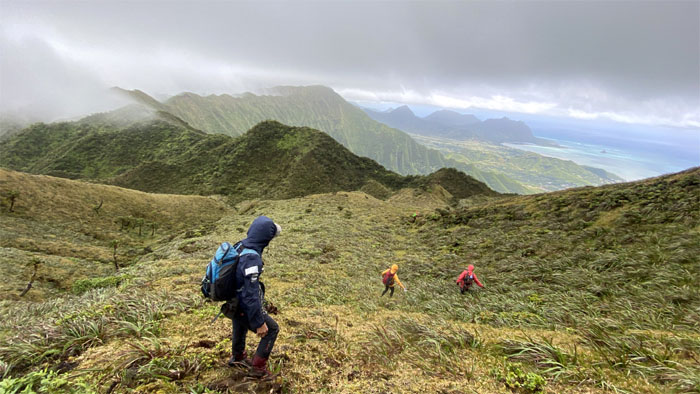
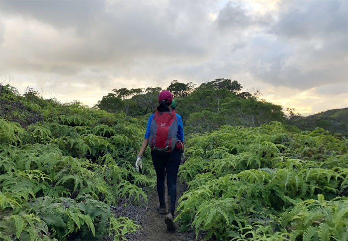
Waimalu Meadows
The group coming down from the misty mountains.
Waimalu Meadows
And then just like that … the clouds cleared and gave us sweeping views of the magical and mythical meadows and points beyond. Photo by Tessa Bugay.
Waimalu Meadows
The group sliding their way down to the grassy field. Photo by Chris Bautista.
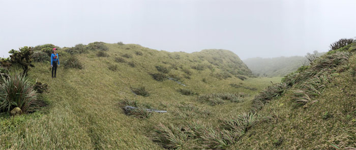
Waimalu Meadows
Looking back at one of the largest meadows to be found on the Ko’olau Mountains.
Waimalu Meadows
Everybody finding their individual and collective 15 minutes of photographic fame in the lush and windy landscape.
Waimalu Meadows
Somebody wished they had that space blanket right now as she balled up into the fetal position. Photo by Tessa Bugay.
Waimalu Meadows
Our group photo on the meadow mound.
Waimalu Meadows
Leaving the greener pastures for overgrown ridges. Photo by Tessa Bugay.
KSRT
Climbing out of the meadows. Photo by Aida Gordon.
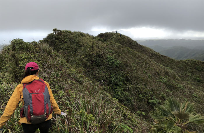
KSRT
Lilyn following the curvature of the ridge line. Photo by Aida Gordon.
KSRT
The rise and fall of the hikers.
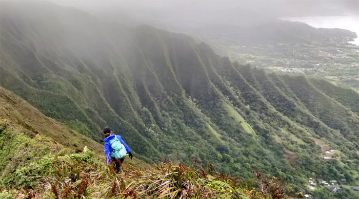
KSRT
Looking down into Waihee Valley that are bordered by the twin sister ridges of Eleao Windward and Kalahaku Teeth. Photo by Aida Gordon.
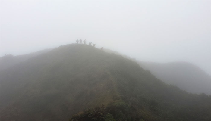
KSRT
The sound of the yawyaws preceded their arrival to the 2,160′ summit.
Waimano Summit
Group photo before Aida, Anne and Art decided to go down the Waimano Trail…
Waimano Summit
… but first, the mutually consenting butt grab in the mountains. Must be a female thing.
KSRT
The rest of us climbed out of the saddle as the other three made their way down the graded trail. Photo by Aida Gordon.
KSRT
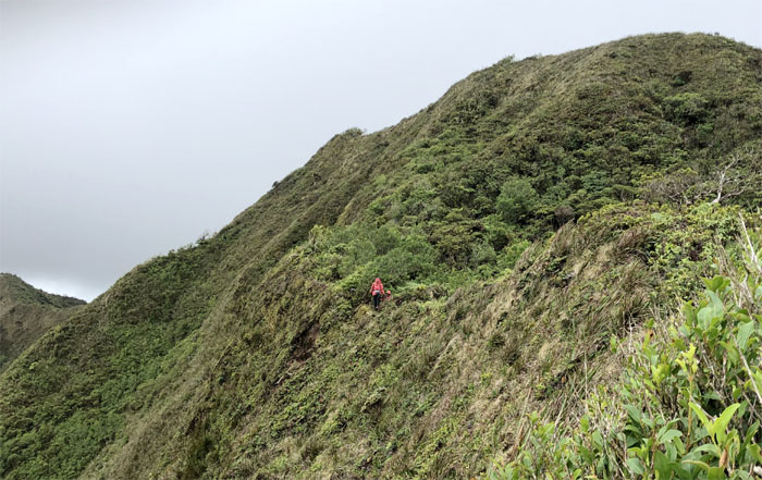
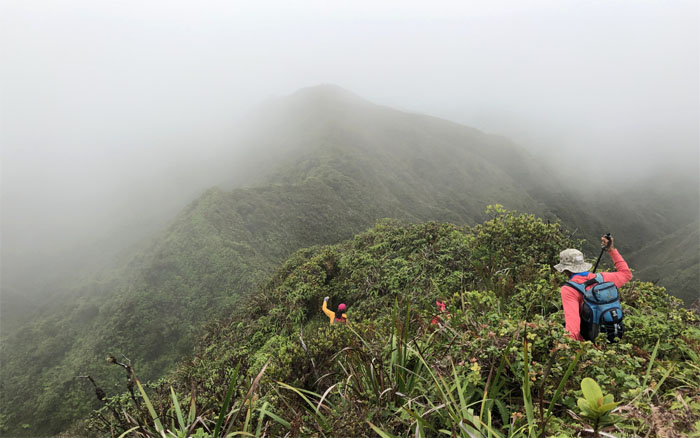
Looking back at the assorted colored hikers making their way along the ridge.
KSRT
Chris pushing towards the 2,660′ summit of Manana.
KSRT
Tree envy?
KSRT
Chris climbing up as we noticed the fence topped ridge line ahead of us.
KSRT
I guess imitation is not the sincerest form of flattery. Photo by Tessa Bugay.
KSRT
Following the partially completed fence line up the ridge.
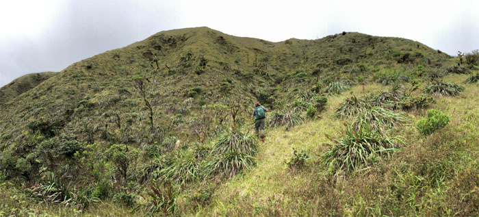
Eleao Meadows
Lilyn taking in the smaller grassy field.
Manana Summit
Our last summit for the day. Photo by Ferlino Carinio.
Manana Ridge Trail
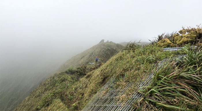
The group descending down into the clouds.
Manana Ridge Trail
Losing elevation as well as cloud cover.
Manana Ridge Trail
The fence sprawl has spread to the Manana ridge. Photo by Ferlino Carinio.
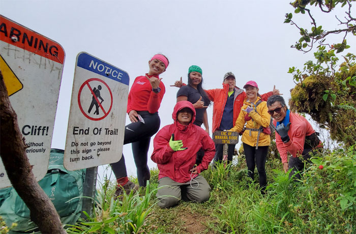
Manana Ridge Trail
Our last group photo at the halfway mark. Only 3.5 more miles to go. Photo by Ferlino Carinio.
Manana Ridge Trail
Tessa and Lilyn climbing their way down.
Manana Ridge Trail
False peaks for daze. At least the trail was thankfully not congested with uluhe ferns.
Manana Trail
We soon caught up to Chris who was napping at the picnic shelter.
Manana Trail
Chris catching the sunset. Mostly everybody had to have their “Lion King” photo experience.
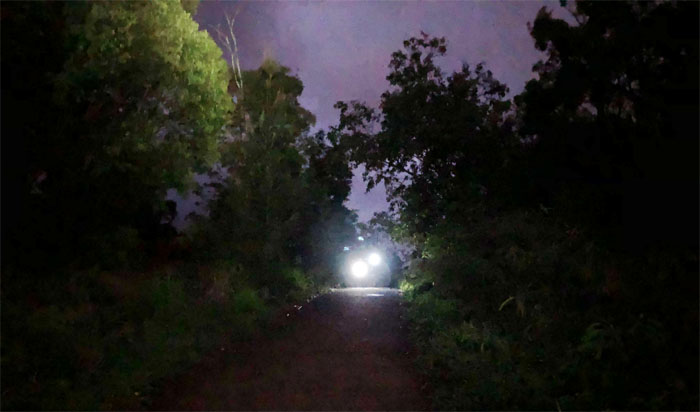
Manana Trail
Time to bust out the head lamps. Night marchers on the trail.
All pau
Mahalo to Art who brought us ice cold carbonated beverages to wash the tiredness away. Shout out to Jasmin for picking us up and entertaining us with her usual verbal gymnastics. Post hike meal at Pho 97. They should stick with what they know best and skip the oxtail.
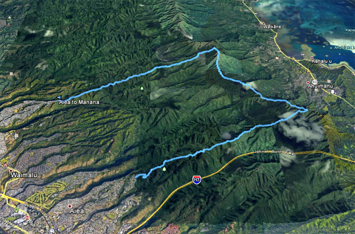
GPS Tracks
Our grinder hike covered 14.3 miles through weather and terrain that seemingly changed on a dime. Another fun adventure with good friends.
Note: I have been made aware that some hikers have been using my blog as a hiking guide and getting lost on the trails. Please note that this blog was made to document the hike for the crew(s) that did it. That is why some of my comments will seem to have no relevance or meaning to anybody outside of the crew(s) that hiked that trail. My blog was never meant as a hiking guide, so please do not treat it as such. If you find inspiration and entertainment from these hikes, that is more than enough. If you plan on replicating these hikes, do so in the knowledge that you should do your own research accordingly as trail conditions, access, legalities and so forth are constantly in flux. What was current today is most likely yesterdays news. Please be prepared to accept any risks and responsibilities on your own as you should know your own limitations, experience and abilities before you even set foot on a trail, as even the “simplest” or “easiest” of trails can present potential pitfalls for even the most “experienced” hikers.
{ 8 comments… read them below or add one }
great hike. Always a wonderful day with the group. Thank you
Aloha Ferlino,
Yup always fun times with the group. Thanks for coming. Happy Birthday!
Mahalo
Fun times w/ awesome peeps. Never a dull moment. Thank you Kenji.
Aloha Tessa,
Yes never a dull moment with the yawyaws. Thanks for your company.
Mahalo
Thanks for another great write-up and for leading the group! ..if I had known the difference was only 1.5 hours or so perhaps I would have stuck it out. But all’s well that ends well..I was meant to do that segment a different time to get the views! ????
Aloha Aida,
Thanks and yes you guys had better views when you finished your cross over!
Mahalo
Kenji, Enjoy your site very much. In April, my hiking partner and I decided to try and do the KST from Aiea to Makapu’u before I move off the island in August. In the past 3 months we have done Aiea to Kulana’ahane, Pali Notches to Mt Olympus, Stairway to Heaven to overlook of Kalihi saddle, Ka’au West ridge to Kuliou’ou West ridge, and we came up the backside of Olomana from Waimanalo. (I don’t mention what we have done to brag but so that you know we are fairly serious hikers and not just someone who did Koko stairs and then wants to transition to the KST.) The only portion we have left to do is between the Pali Lookout and the Kalihi Saddle. We felt comfortable doing everything else on our own, but not this section. We are adventurous but try to be safe. You guys obviously know what you are doing as you have done it multiple times. Would you or one of your friends be willing to take us out on this? Would be willing to tag along if you have something already planned. If not, would be willing to even pay someone for their time. If you know anyone who might be interested—and is knowledgeable and safe—please pass along. Mahalo! Email is gi_jono@hotmail.com
Aloha Jonathan,
Sorry for some reason, your comment got stuck in my spam box. Great job on finishing off all those sections. I can help you but it looks like you are against a time limit. I’ll reach out to you and best of luck.
Mahalo