
Chris B, Chris C, Gen and myself joined the HTMC on hiking this recently cleared trail in Hau’ula. We recognized some familiar faces in the group that included Bernice, Dale, David, Erik, Thea and Wyatt.
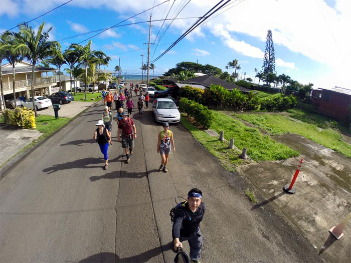
Maakua road
Thea, the hike coordinator, gave the standard briefing and then we all flowed down the road, parting for traffic until we came to the gate. Photo by Chris Chun.
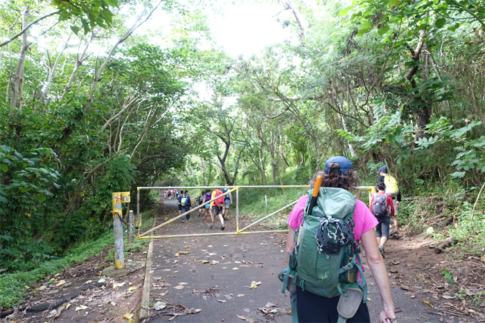
Gate
Who has the keys?
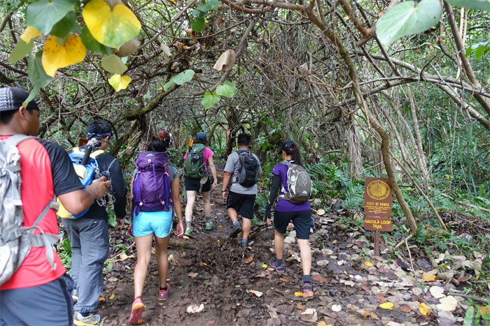
Trailhead
The group entering the Hau’ula Loop Trail.
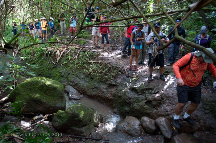
Stream crossing
Traffic jam. Over thirty hikers trying to cross. One at a time. Photo by David Johnson.
Switchback
The group ascending the first switchback to start the loop trail.

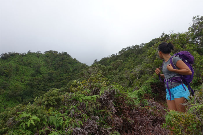
Kaipapau Gulch
Another hike for another day. Photo by David Johnson.
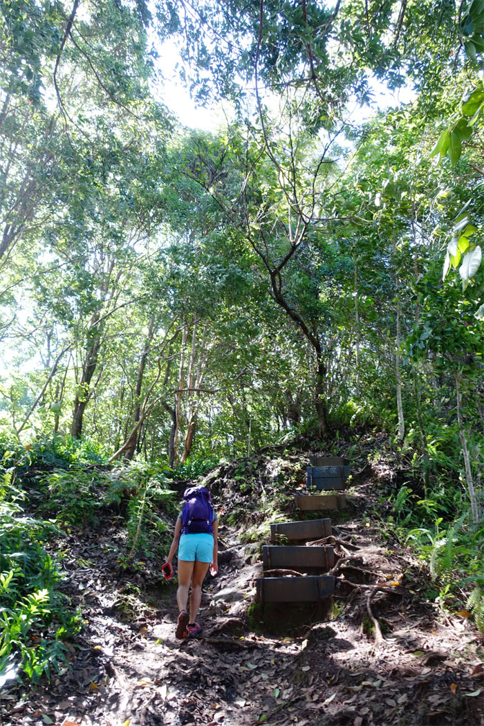
Steps
To step or not to step?
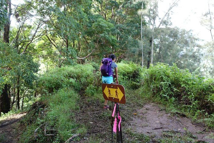
Dog leash junction
We kept to the right and followed the ridge up.
Return ridge
Looking at the ridge that we would take back down.
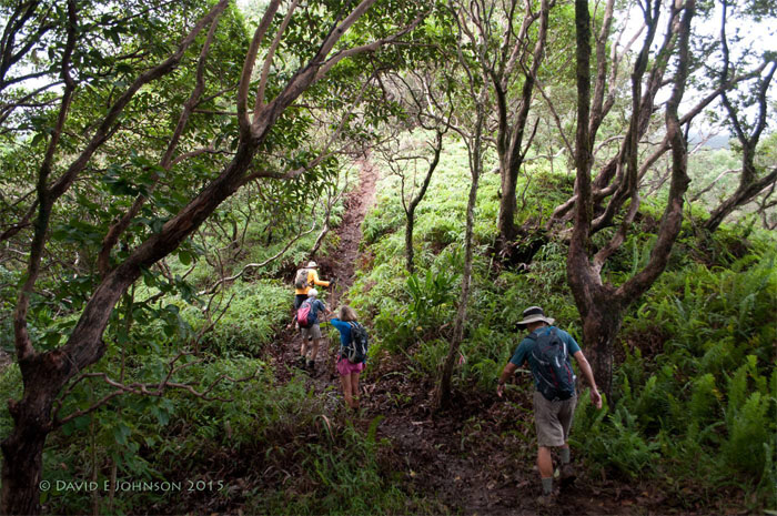
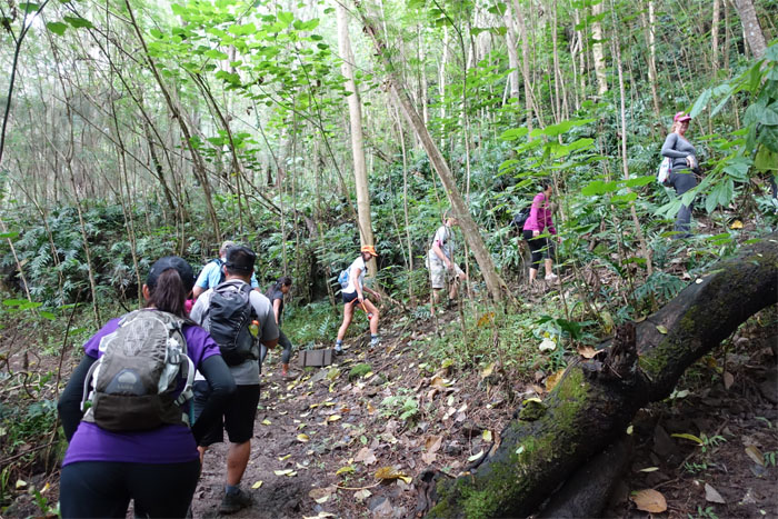
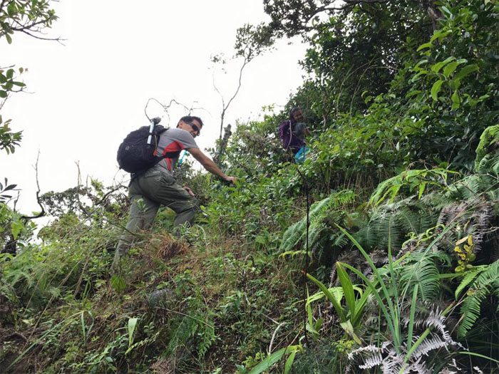
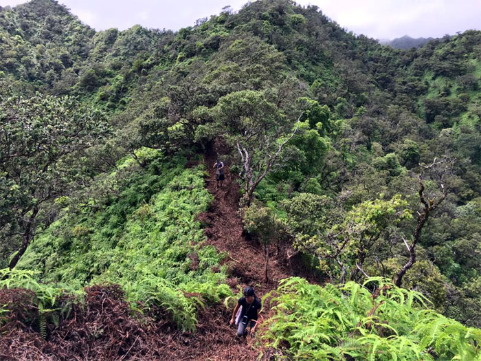
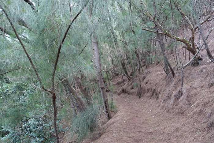
Trail
The trail started to get a little steep and somewhat muddy. Hang onto those plants. Photo by David Johnson.
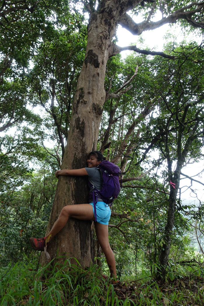
Tree hugger
Some trees are made for hugging.
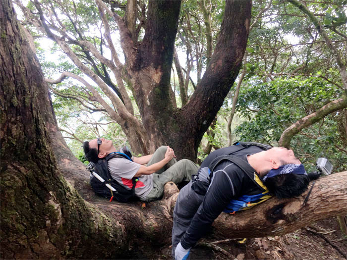
Tree break
Some trees are just made for sitting and sprawling. Photo by Genesaret Balladares.
Almost there
It’s almost lunch time.
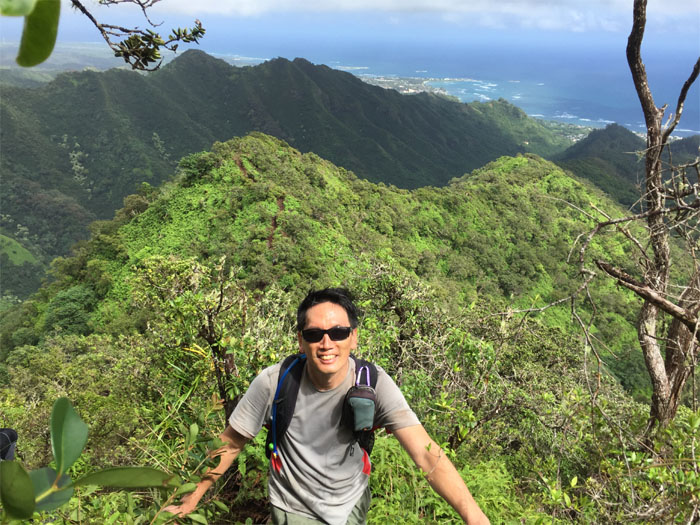
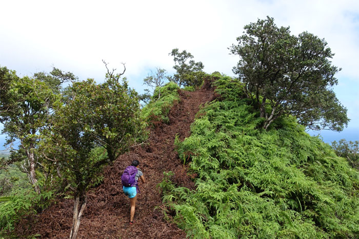
Steep
The final push to the top. Photo by Chris Chun.
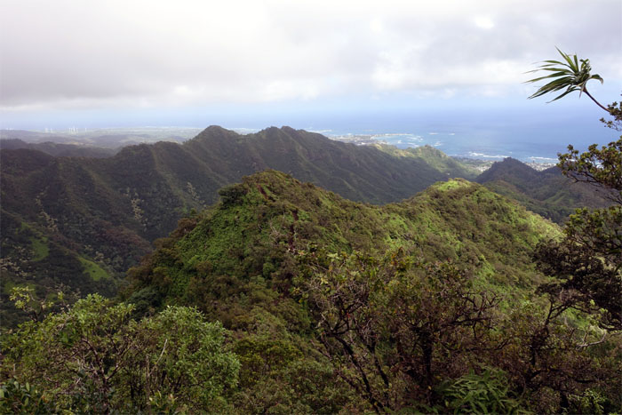
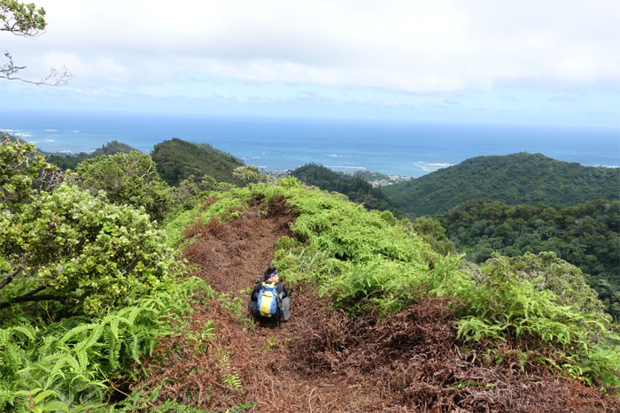
Ridge view
Looking back at the ridge we had just hiked. Photo by Genesaret Balladares.
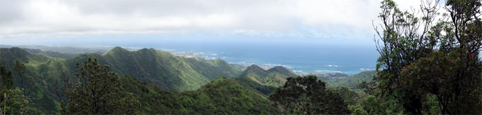
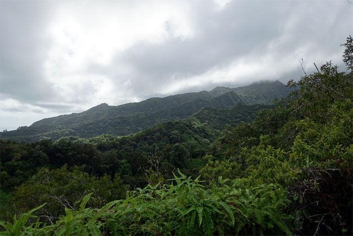
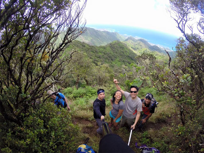
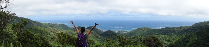
Panoramic view
Click here for the larger image.
Lunch spot
Group photo by Chris Chun, left to right: Chris C, Gen, myself and Chris B. There was a ridge at the top that connected to the Castle trail. Another hike for another day.
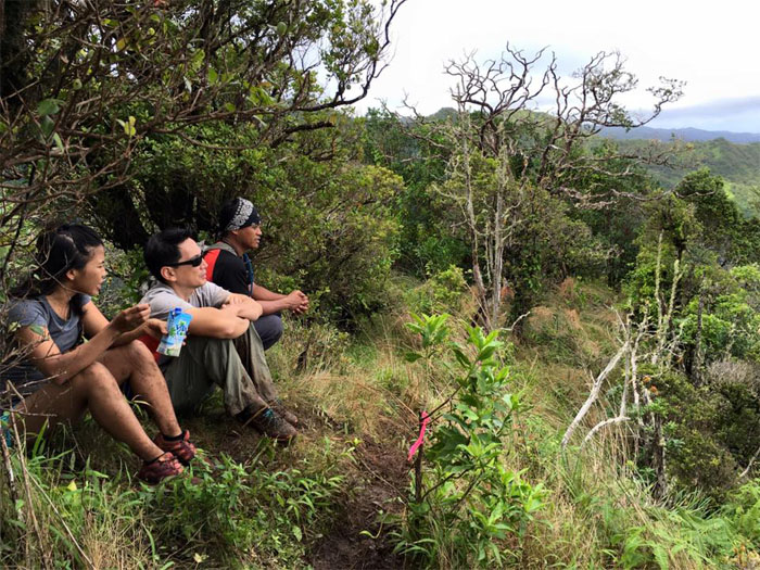
Deep thoughts
Some of us were thinking, while one kept talking. Perhaps it was time to go back down already. Photo by Chris Chun.
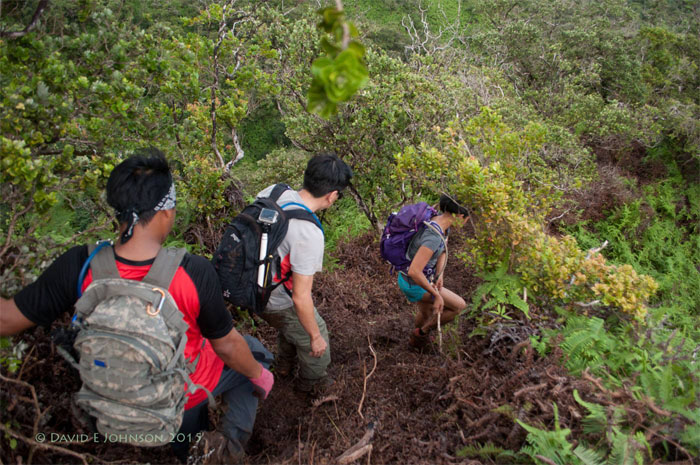
Going down
The group leaving the lunch spot and their deep thoughts behind. Photo by David Johnson.
Looking back
Dale and Chris making their way down.
Going down
The rest of the group making their way down from the top. Photo by Chris Chun.
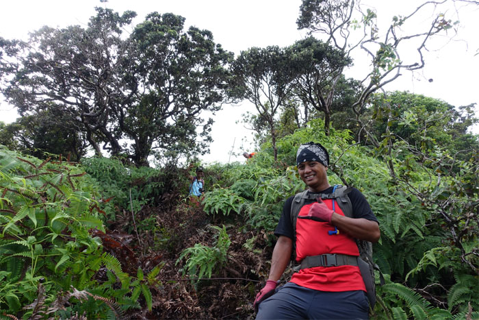
Going up
HTMC volunteers had spent over a year clearing and opening this trail. Big mahalos for their selfless work and dedication to keeping the trails open for the rest of us.
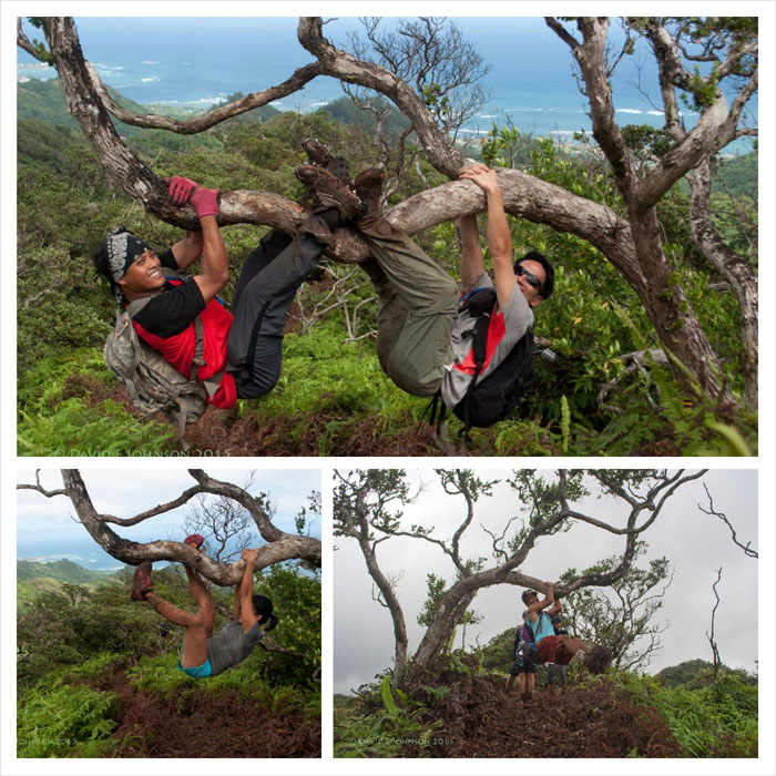
Hanging out
Some of us took turns hanging off this sturdy ohia tree. We are easily amused. Photos by David Johnson.
Looking out
Click here for the larger image.
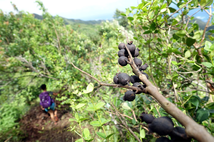
Black balls
Did these fruits/seeds die on the branch? Or is this how nature tells predators to forage elsewhere in the interest of self preservation? Random thoughts.
Trail
Chris leaving the last section of uluhe behind us.
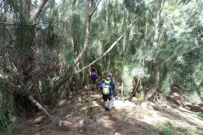
Trail
The group entering the cool shade of the pine trees.
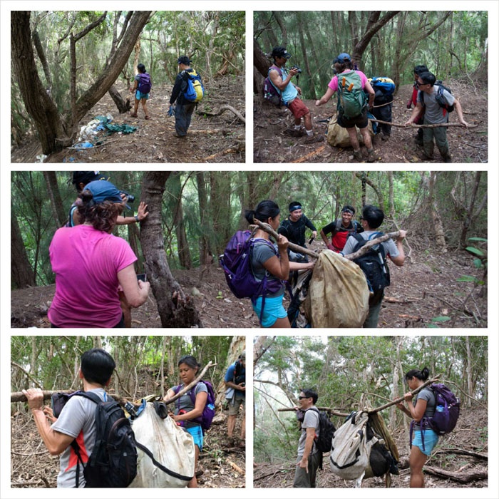
Trash day
Under Thea’s direction, we scooped up the remnants of somebody’s long abandoned shelter and took it with us. Hope no homeless person was affected by this movement. Photos by Chris Chun and David Johnson.
Trail
This trail was tailor made for jogging down with a sack of rubbish.
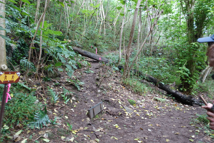
Junction
The loop came full circle. We’re almost out of the woods.
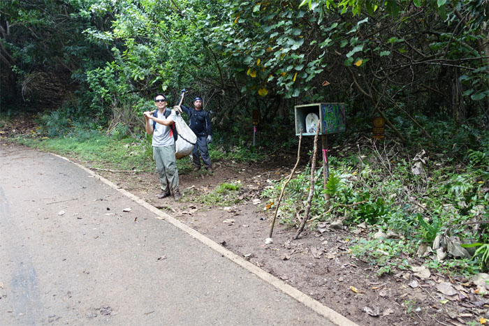
Where’s the dump?
We continued down the road peppered with questions from curious neighbors. It’s a body. It’s a pig. It’s just rubbish. Photo by Chris Bautista.
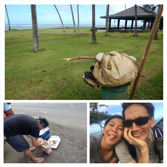
All pau
The trash was put into its proper place, Chris was helping himself to Justin’s fresh cut fruits and funny faces were being made. All’s right with the world. Photos by David Johnson and Genesaret Balladares.
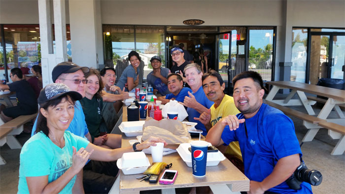
Post hike meal
Taking out the trash made us hungry, so we all stopped at Papa Ole’s for their garlic chicken, pulehu ribs and roast pork. Group picture left side, back to front: Gen, myself, Thea, Daniel and Bernice. Right side, back to front: Chris B, Chris C, Justin, David, Dale and Erik.
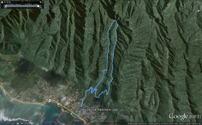
GPS Tracks
The looping hike covered 5.02 miles. It was a cool little hike on the North Shore with a great hiking club.
{ 2 comments… read them below or add one }
Great ‘story’ of this newly re-opened, double ridge loop hike. We’ll be going up many times this year to keep it clear of the ulu-hell overgrowth.
Thanks for including some of my pics, and look forward to hiking with you and the crew on future treks.
~David
Aloha David,
Thanks again for you and the crew that helped re-open the trail for others to hike and enjoy. That was a fun loop hike. Hope it gets a lot of traffic and usage! Shame for it to lapse back to Mother Nature.
Thank you for letting me use your professional photos to augment my amateur photos! Hope to see you guys on future hikes!
Mahalo