
My original plan was to fly to Kauai and set foot on the Kalalau Trail this weekend; instead Jasmin drove Cisco, Ferlino and myself to the end of the island to kick off our weekend in the West.
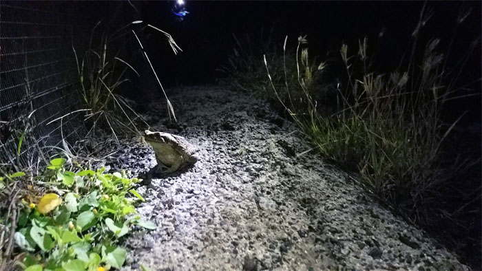
Trailhead
We crossed paths with an amphibian only a princess and Lopaka could love.
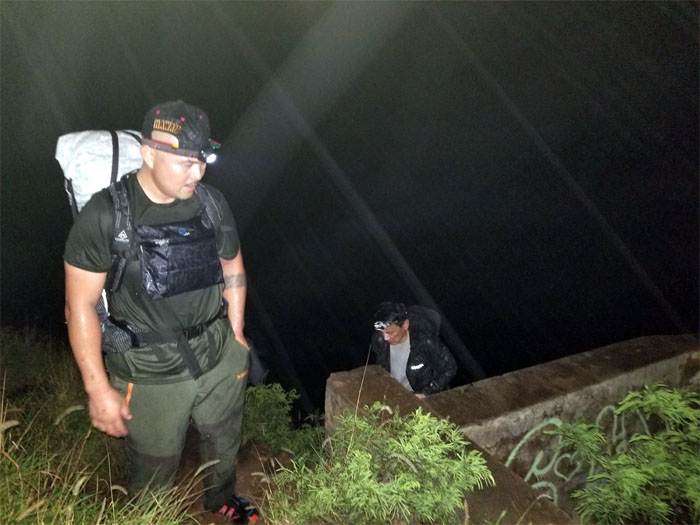
Kaena Point
Passing one of multiple WW2 bunkers going up the ridge. Photo by Ferlino Carinio.
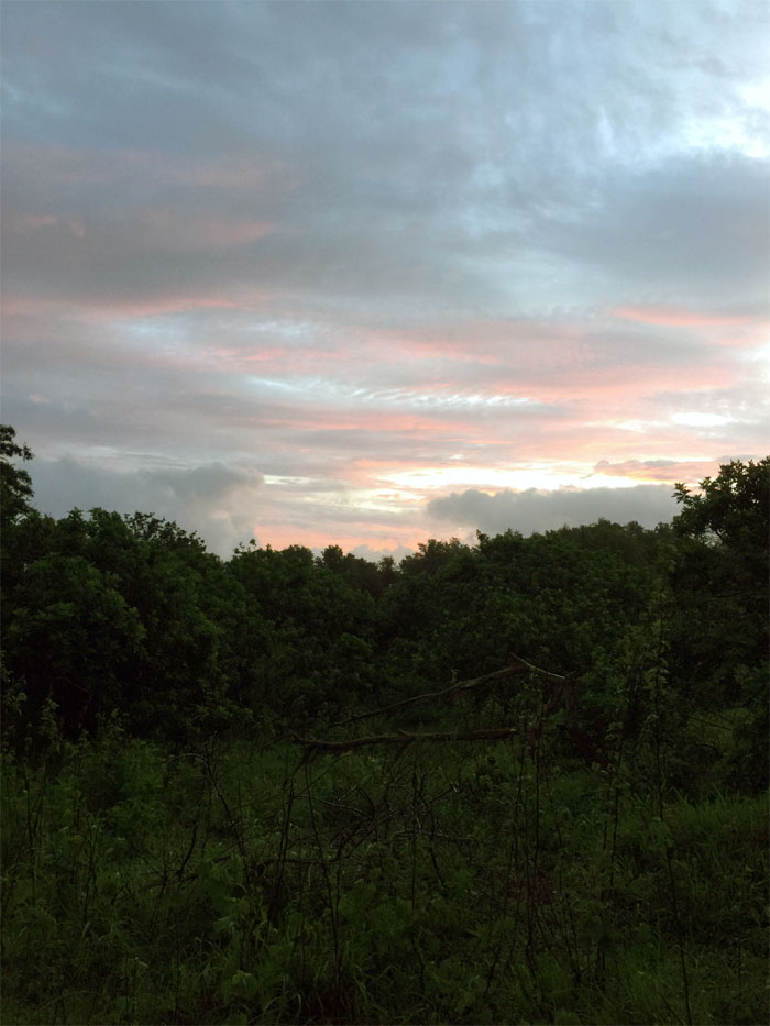
Sunrise
We caught the breaking sunrise, only thing that was caught. Photo by Cisco Quintanilla.
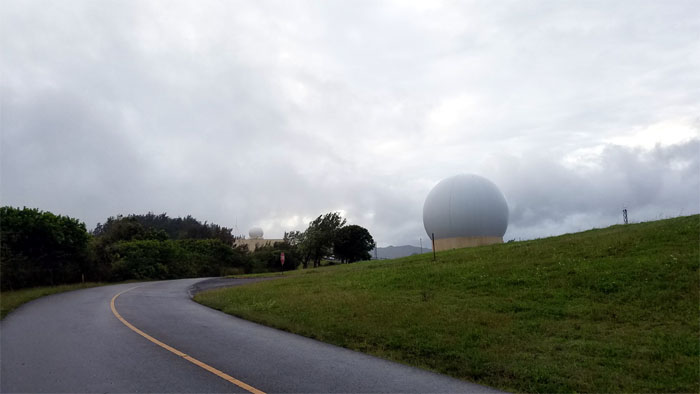
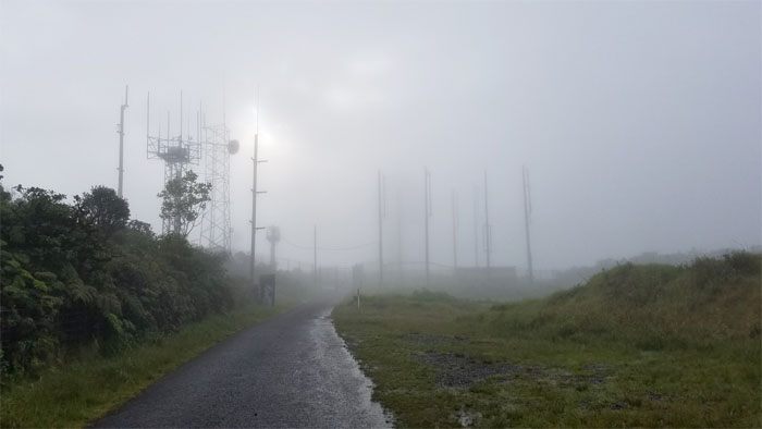
Kaena Point
Good thing these things are just tracking satellites.
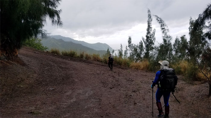
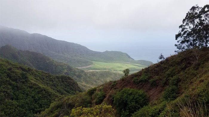
Kuaokala Trail
Glimpsing some views of the rugged coast line …
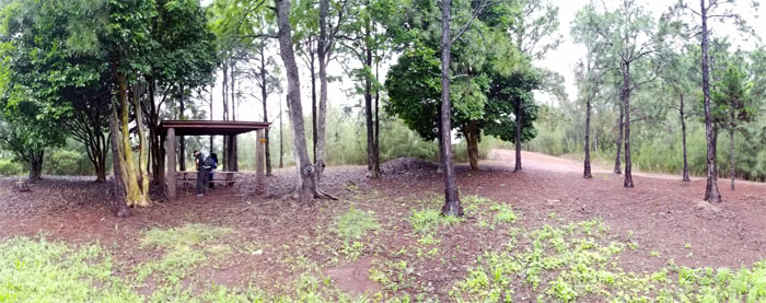
Picnic Shelter
… nibbled on some breakfast bites and returned back on the trail …
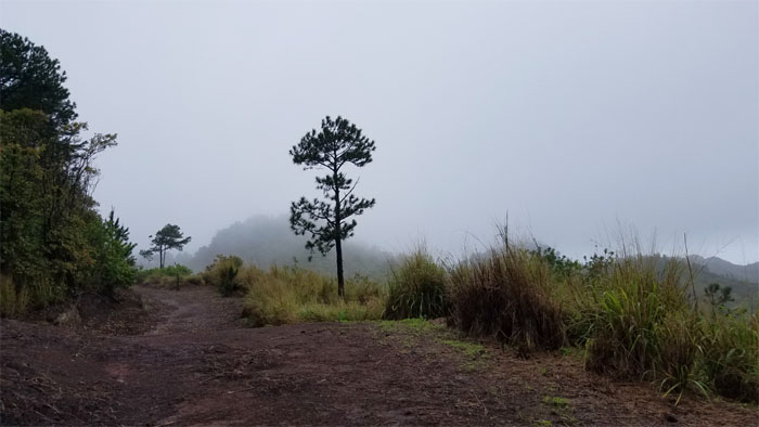
Kuaokala Trail
… glimpsing no views at all now.
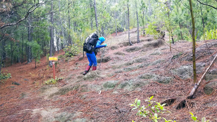
Kuaokala Trail
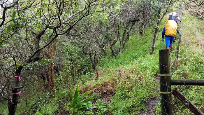
Ferlino following the hiking arrow to stay on track.
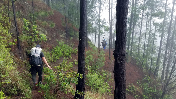
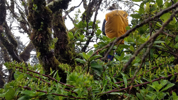
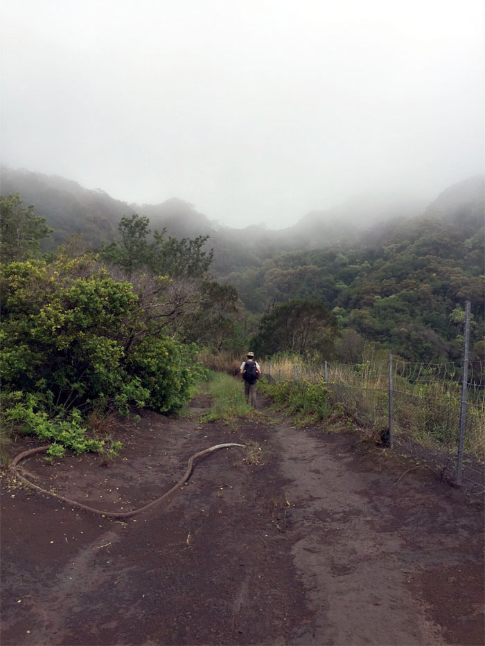
Kuaokala Trail
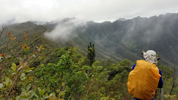
Walking through the cloud soaked tree lined trail.
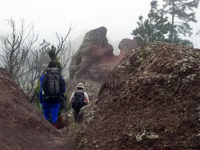
Kuaokala Trail
Making our way down the rocky and rutted trail. Photo by Cisco Quintanilla.

Kuaokala Trail
Guess who’s playing King of the Hill?
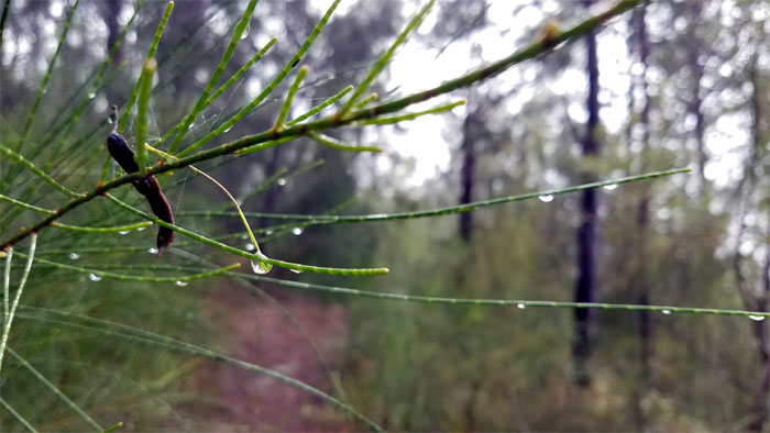
Dew Drops
Brushing past the water droplets hanging from the pine needles.
Waianae Summit Trail (WST)
We ignored one gate to follow the fence line to …
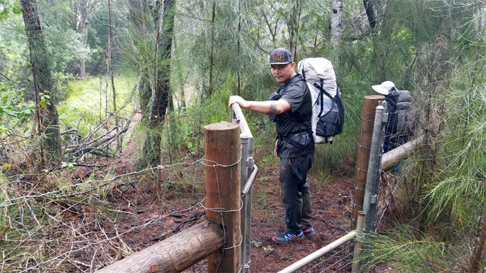
WST
… go through another gate.
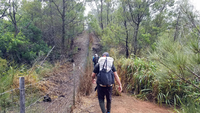
WST
Missing that 4×4 bus service on this trail.
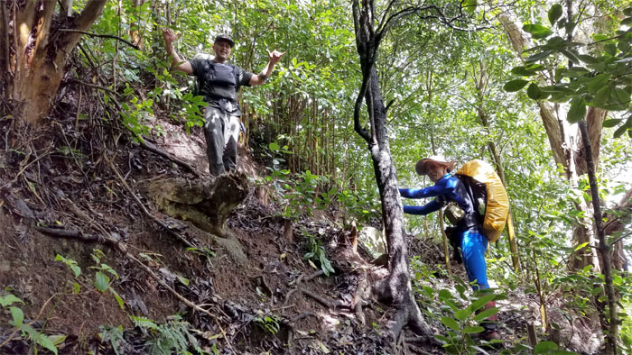
Junction
To paraphrase Alexander Graham Bell, “Leaving the beaten trail to dive into the mountains to experience the rugged character of the Waianae Mountains.”
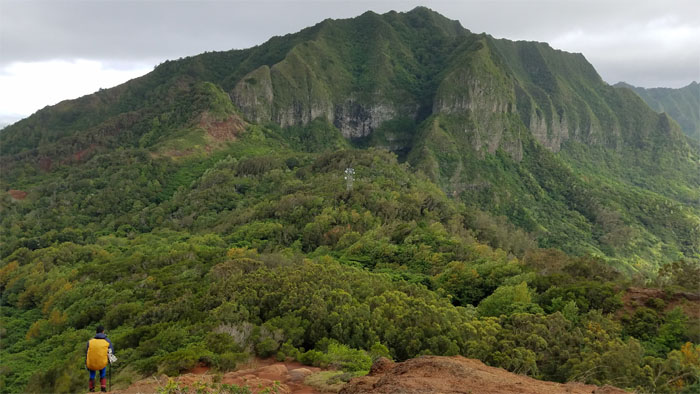
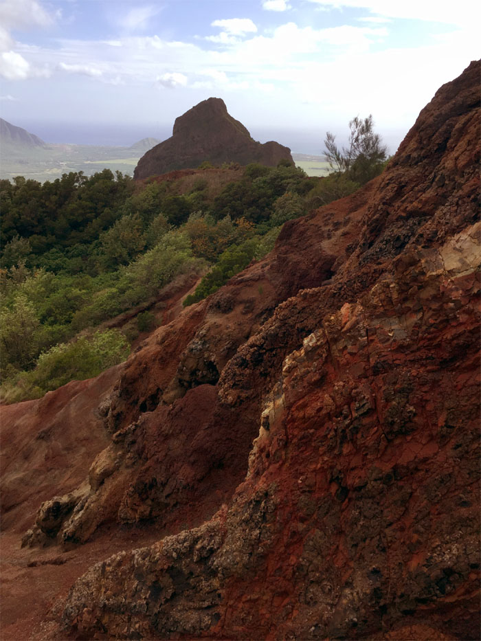
Makua Valley
Looking into the wounded valley that has yet to be allowed to heal itself.
WST
The clouds soon snatched our valley views away, so we continued to follow the fence line. Photo by Cisco Quintanilla.
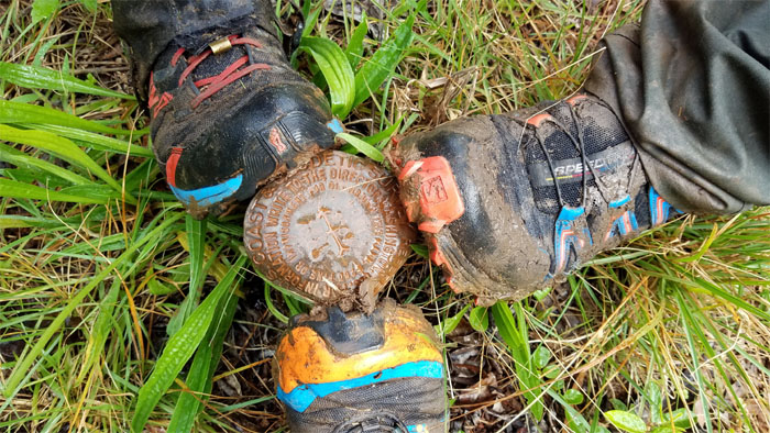
Moku
Our feet are located at N213239.22131 W1581140.52996, according to the National Geodetic Survey.
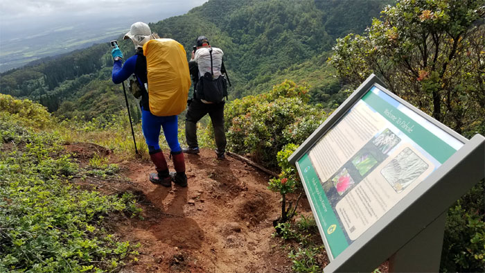
Pahole
Stopping at the scenic view point of …
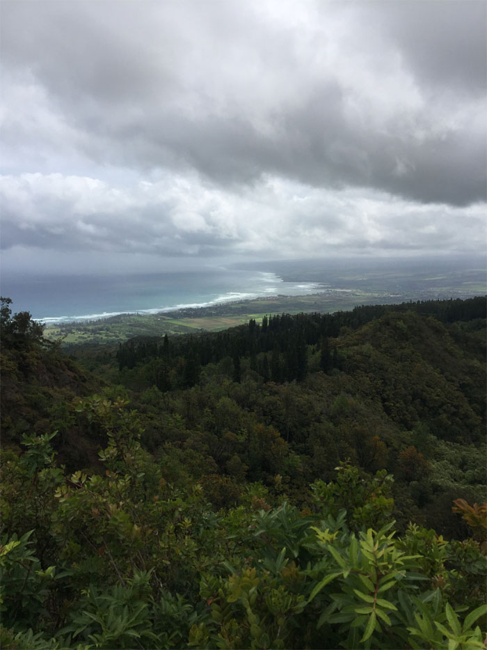
North Shore
… the north shore towns of Waialua and Haleiwa. Photo by Cisco Quintanilla.
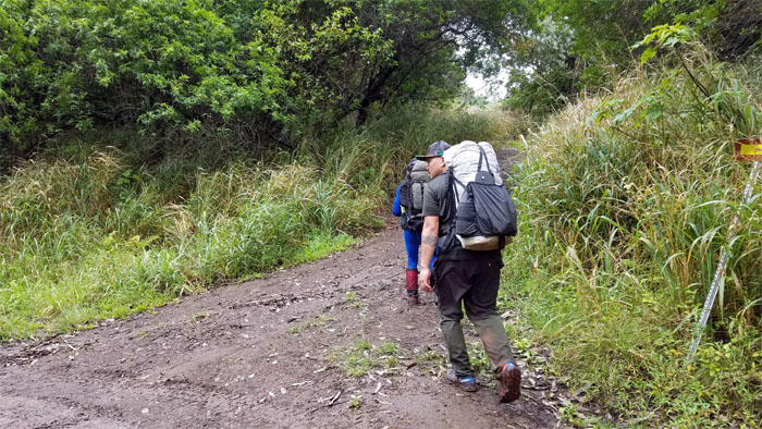
WST
And now back to our regularly scheduled hiking.
WST
Switch backing amongst the tinkling sounds that marked native plants?
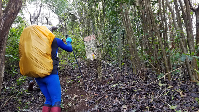
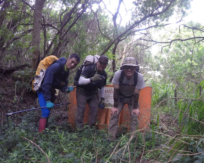
UXO
Passing one of many signs that warns people to stay on the other side of the fence. Well heeded.
WST
We jumped the fence to soak in some views. Photo by Cisco Quintanilla.
WST
Back on the fence line.
Junction
No time to harvest the sweet and juicy tangelos down below us, as tempting and appetizing as that may sound.
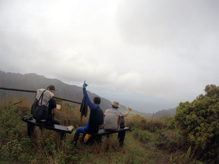
Mokuleia Lookout
We took a break on the only benches on the entire trail. Photo by Ferlino Carinio.
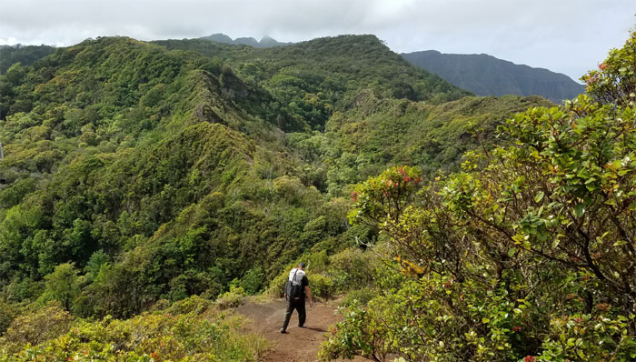
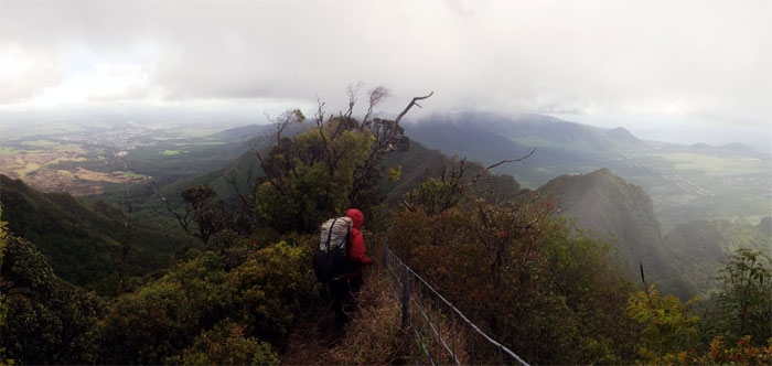
WST
Cisco going down the undulating ridge line.
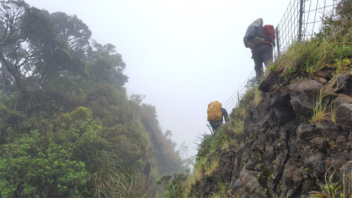
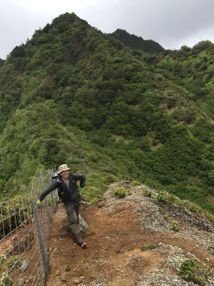
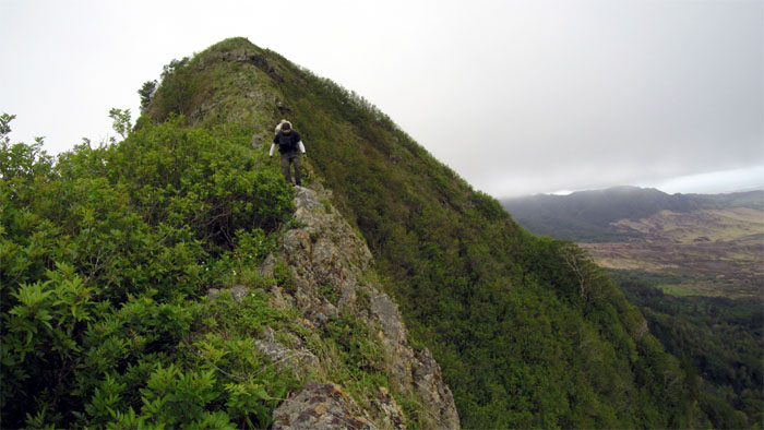
WST
Pushing up the last climb to the summit.
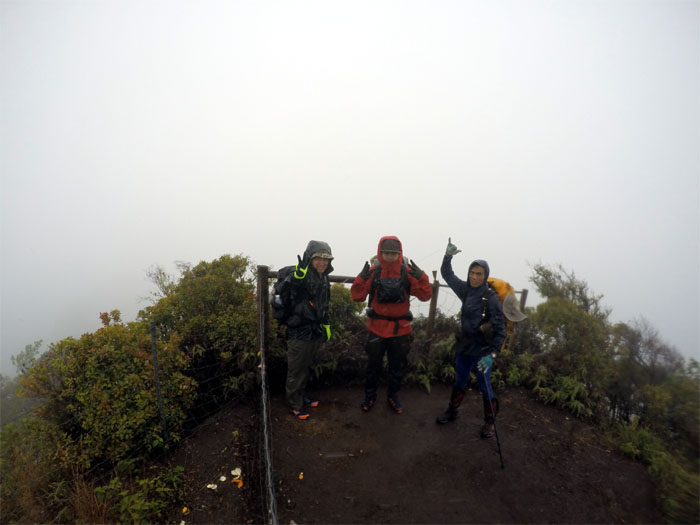
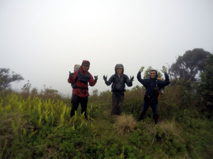
Three Corners
Group photo where we had three views of clouds. Photo by Ferlino Carinio.

WST
Where the fence line meets the road.
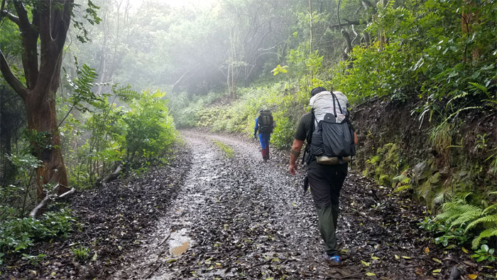
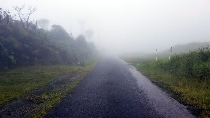
Ka’ala Road
It was a punishing 2.5 mile walk up the solid, paved and incline road that were scattered with rocks of assorted sizes. Photo by Cisco Quintanilla.
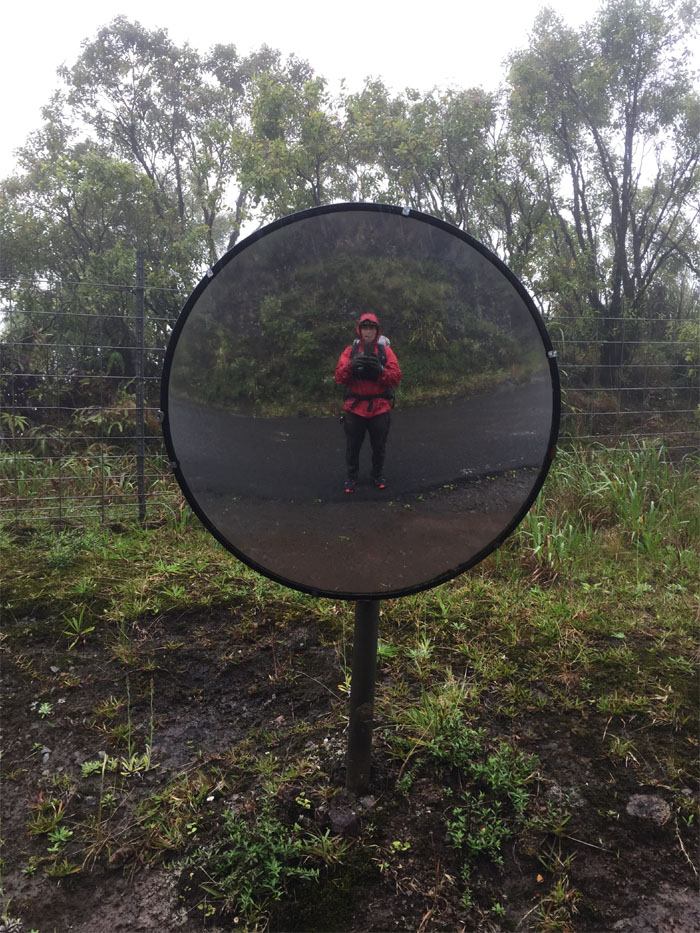
Ka’ala Road
Convex mirrors are not only good for blind spots but selfies as well. Photo by Cisco Quintanilla.
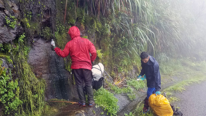
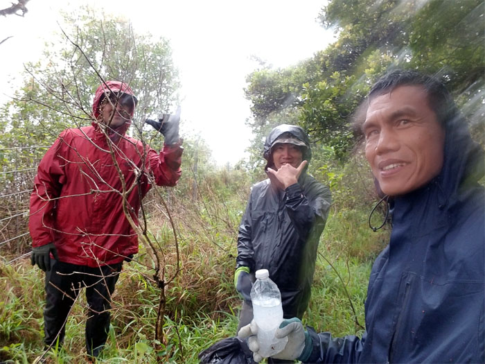
Weeping Wall
Bottling water straight from the mountain tap. No false advertising here.
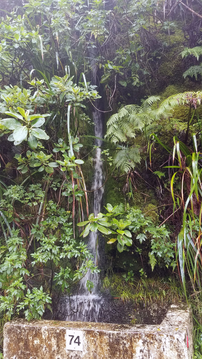
#74 Waterfall
Only when it rains, does she flow.
Mount Ka’ala
End of the road for us.
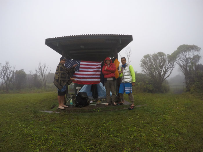
Mount Ka’ala
Time to settle in at the highest point on the island, which translates to quite a chilly night.
Mount Ka’ala
We woke up to a typical socked in morning.
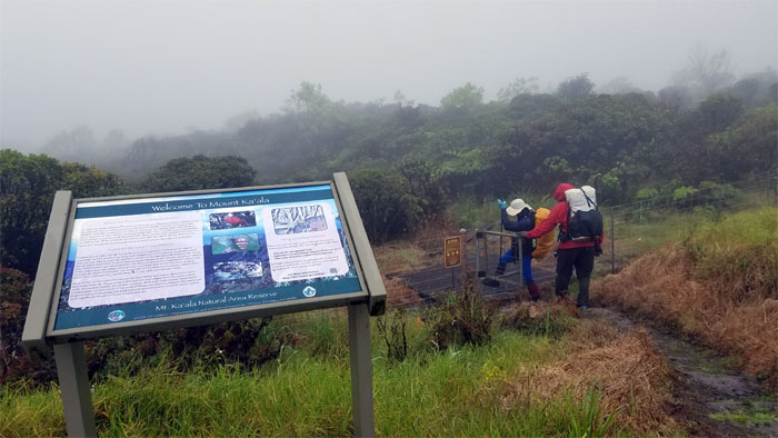
Mount Ka’ala
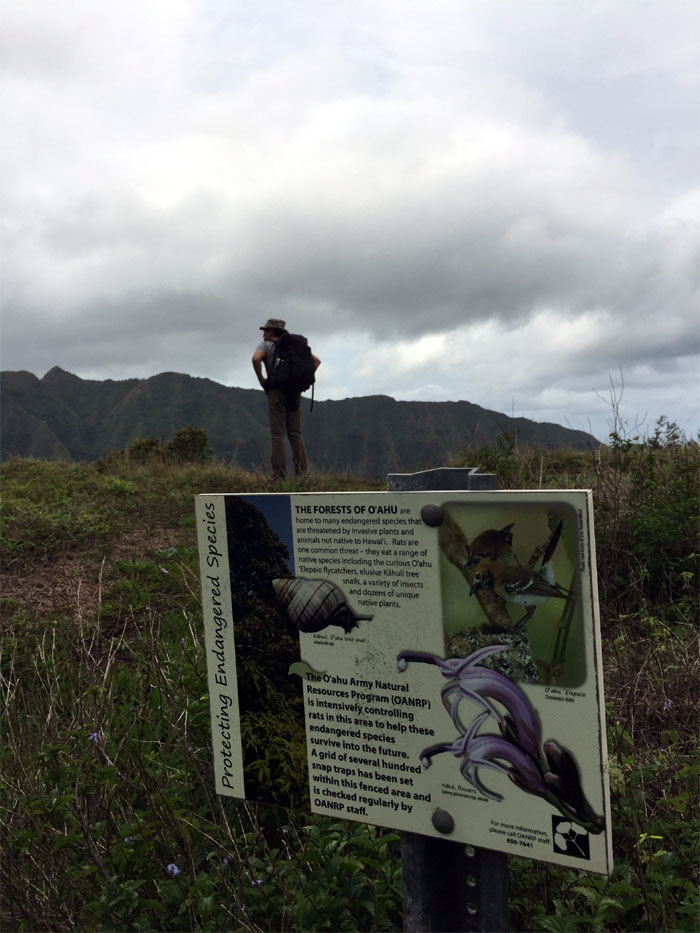
Entering over 1,000 acres of endemic Hawaiian fauna and flora.
Mount Ka’ala
Walking through the boardwalk. Photo by Ferlino Carinio.
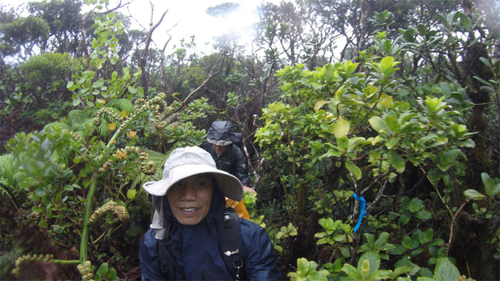
Mount Ka’ala
Picking our way through the marked and sometimes confusing trail.
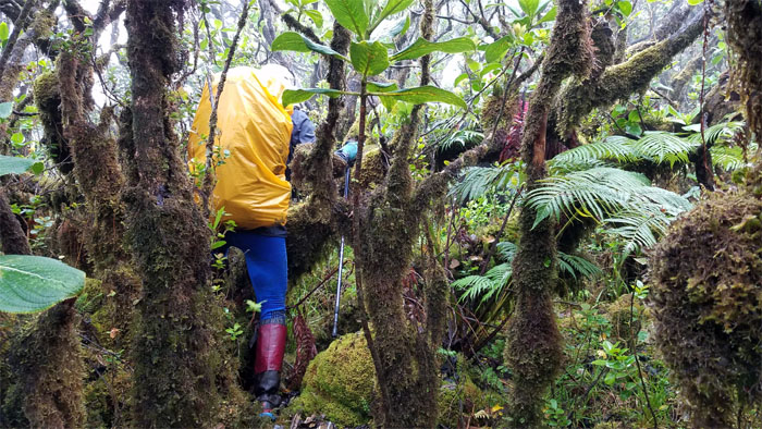
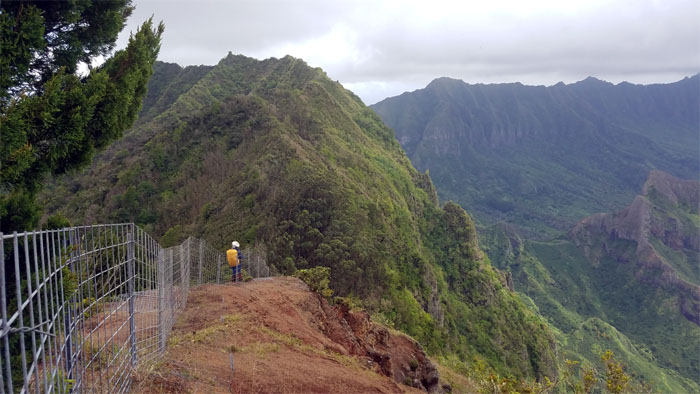
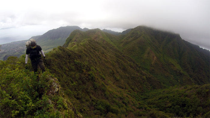
WST
Leaving the bog as we followed the ridge line to drop off the 4,025′ summit.
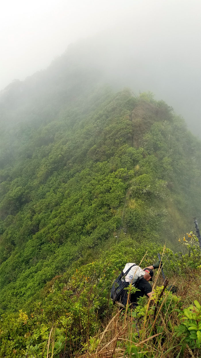
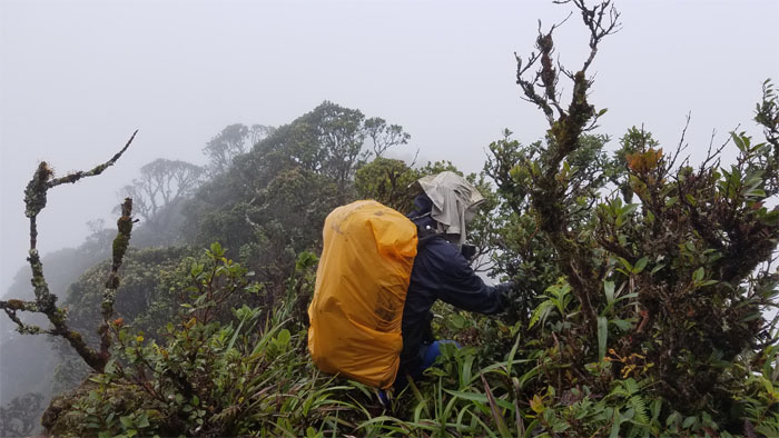
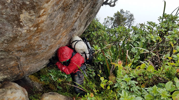
WST
Cisco peering over the moss and rain slicked boulders.
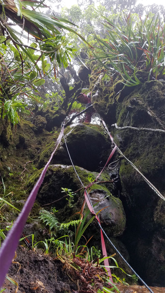
WST
Ferlino standing over the “Leap of Faith” boulder section. I was trying to take Cisco’s picture when he was crossing this section, as I backed up to get a better angle, I slipped on the mossy rock and my phone took a fall. Luckily, Ferlino saw where it had landed and retrieved it for me.
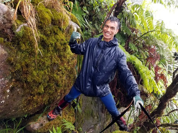
WST
At least Cisco was not condemned for eternity to hold back the boulder, just long enough for this photo.
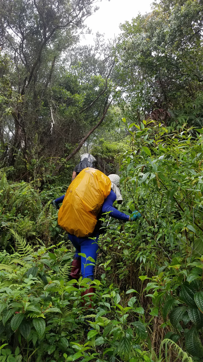
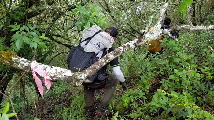
WST
Back to bushwhacking with no views. The joys of hiking.
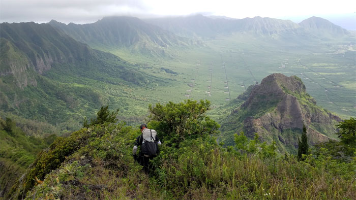
Hobbs
Group photo at the ridge that will lead you back down into Waianae Valley.
WST
Crossing the gap that the fence can’t cover.
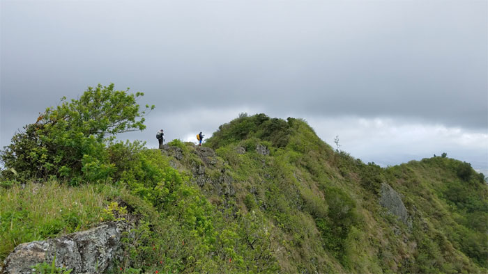
Pu’u Kalena
Sun dances and shaka’s don’t work at the summit. Well, at least not this particular one.
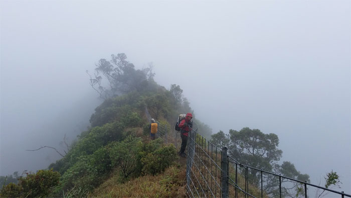
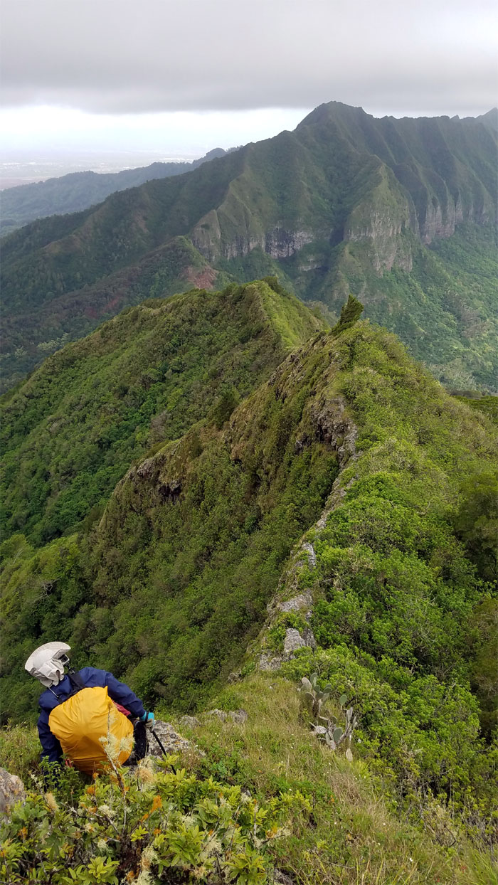
WST
Leaving the clouds and rain behind us as we left the 3,504′ summit.
WST
All smiles now as the sun came out to play with us. Photo by Cisco Quintanilla.
WST
Ferlino making his way down the drier part of the trail.
WST
Leaving the cloud capped summit of Kalena behind us. Photo by Ferlino Carinio.
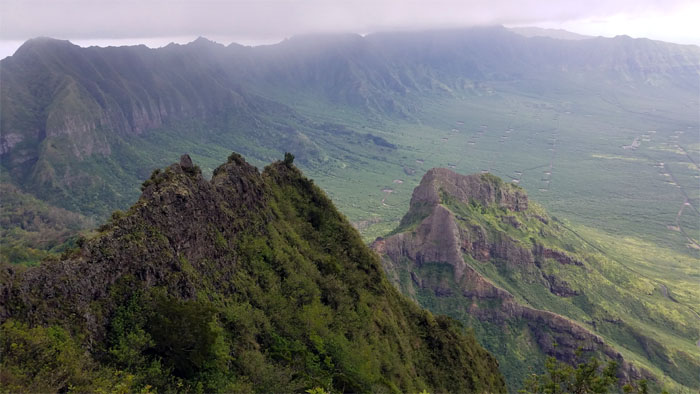
WST
Looking out at sexxxy ridge. No sexy time for us today.
WST
Cisco and Ferlino crossing the narrow dike section.
WST
Leaving the ridge line behind us as we dropped down another narrow dike section.
WST
Cisco making his way down. Photo by Ferlino Carinio.
WST
Looking down at Lualualei Valley pocked with navy bunkers filled with who knows what.
WST
Turned off the ridge to wind our way down to the gap in the mountains.
WST
Heading down to the lowest point in the Waianae Mountain Range.
WST
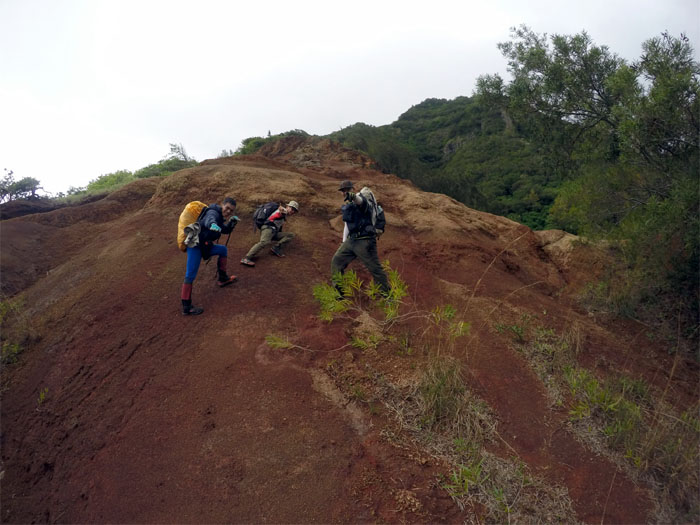
Different layers of removal until it meets the definition of erosion – Pu’u Ka’ilio. Photo by Cisco Quintanilla.
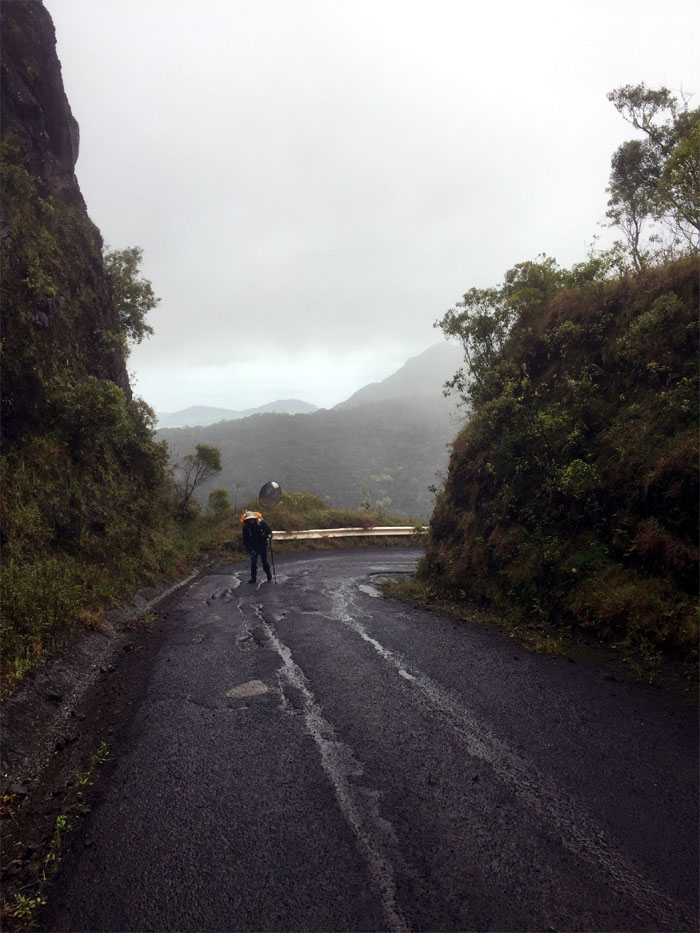
WST
Going down the sliding sands of Kolekole Pass. Photo by Ferlino Carinio.
All pau
Out of the danger zone, but not the weather zone. With heavy rain predicted to fall tomorrow, we decided to call it a weekend. Photo by Ferlino Carinio.
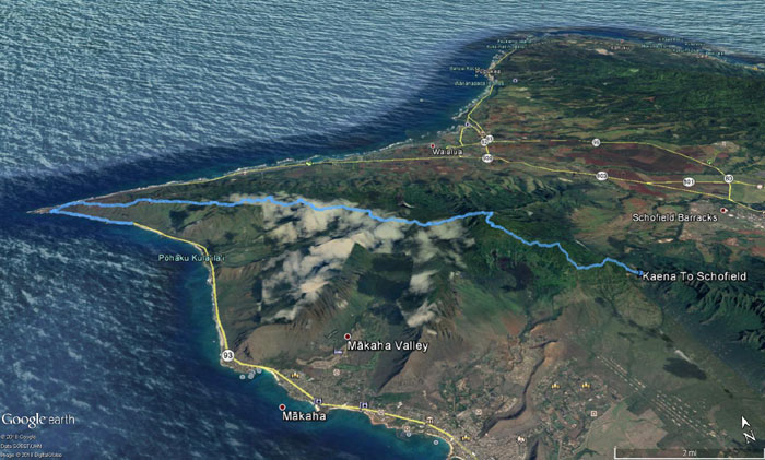
GPS Tracks
Our two day trek in the Waianae Mountains covered roughly 19.7 miles. In the end, I avoided being stranded on Kauai if I had stuck to my original plans, but instead we got booted off the Waianae Mountains a day early. Still a good deal. Thanks to Matt for picking us up and having our post hike meal at Popeye’s on base. Followed by a chaser of Taco Bell. All in all, it was still a great experience with a fun crew.
Note: I have been made aware that some hikers have been using my blog as a hiking guide and getting lost on the trails. Please note that this blog was made to document the hike for the crew(s) that did it. That is why some of my comments will seem to have no relevance or meaning to anybody outside of the crew(s) that hiked that trail. My blog was never meant as a hiking guide, so please do not treat it as such. If you find inspiration and entertainment from these hikes, that is more than enough. If you plan on replicating these hikes, do so in the knowledge that you should do your own research accordingly as trail conditions, access, legalities and so forth are constantly in flux. What was current today is most likely yesterdays news. Please be prepared to accept any risks and responsibilities on your own as you should know your own limitations, experience and abilities before you even set foot on a trail, as even the “simplest” or “easiest” of trails can present potential pitfalls for even the most “experienced” hikers.
{ 0 comments… add one now }