
Permit in hand and with a 4×4 ride secured; Jasmin dropped Ferlino, Yoly and myself off at the Kaena Point Tracking Station Road. Photo by Yoly Bedford.
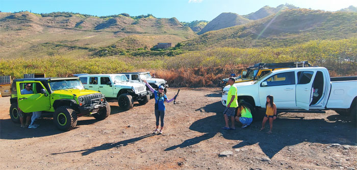
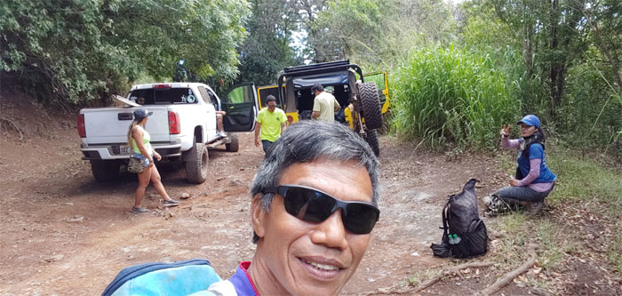
Jeep convoy
Waiting for the rest of the jeeps to roll in. Photo by Ferlino Carinio.

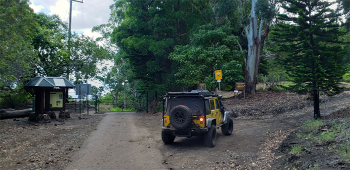
Guard shack
We checked in and made sure that we got the right ID’s back. Mistaken identity averted. We then took off from the main jeep convoy as we had places to go and people to drop off. Photo by Yoly Bedford.
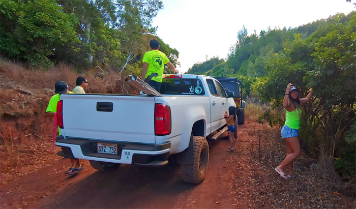
Jeep road
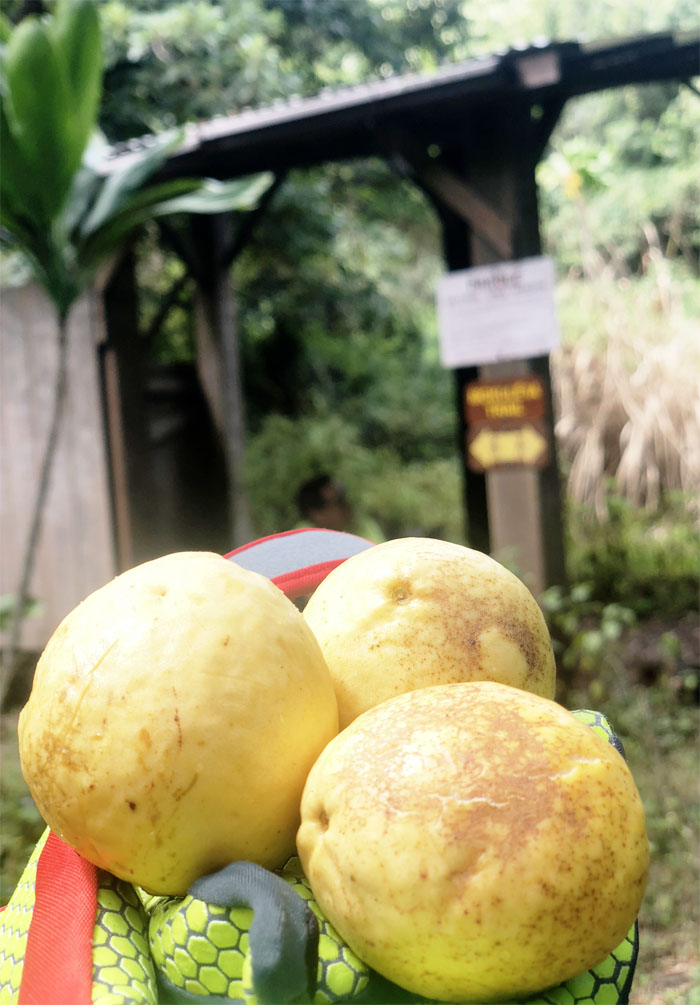
Our two truck convoy had to stop and regroup as a low hanging branch had cleaned off Brian’s water tank on his roof. Some took this as an opportunity to pick low hanging guava fruits. Photo by Ferlino Carinio.
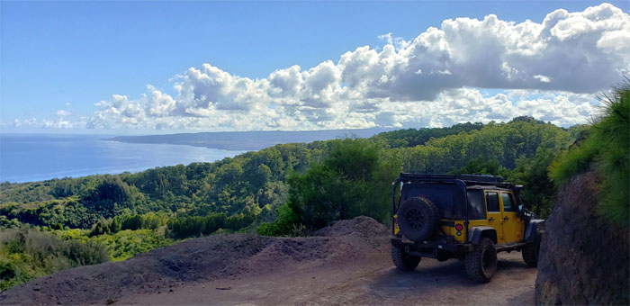
Jeep road
On the bumpy drive to our destination, we were treated to scenic ocean and mountain views.
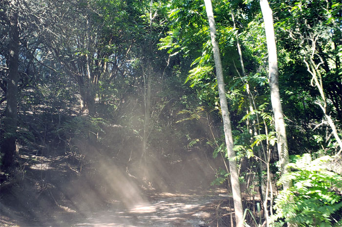
Sun beams
I chose to sit in the back of the truck to immerse myself in the dust clouds being kicked up on our drive.
Peacock Flats
Turning into the Earl Prawn Campground.
Trailhead
We got off our rides and prepared ourselves for the grueling 15 minute hike to the shelter. Photo by Ferlino Carinio

Mokuleia Trail
Brian opening the gate to Pahole Reserve. Photo by Ferlino Carinio
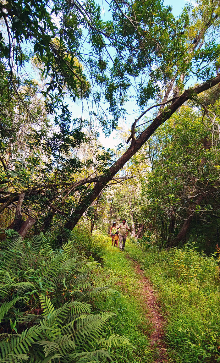
Mokuleia Trail
Hiking the trail that was first constructed in 1934 by the Civilian Conservation Corps. Photo by Ferlino Carinio
Mokuleia Trail
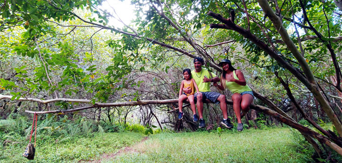
Strawberry guava trees are solid and sturdy trees. Perfect to sit on and take a family photo. Photo by Ferlino Carinio.
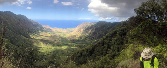
Mokuleia Lookout
We left the barely standing shelter and made the short and steep climb to the bluff overlooking Makua Valley. Group photo, left to right: Yoly, Elle, Ivy, Bradley, Ferlino, myself, Brian and Nora.
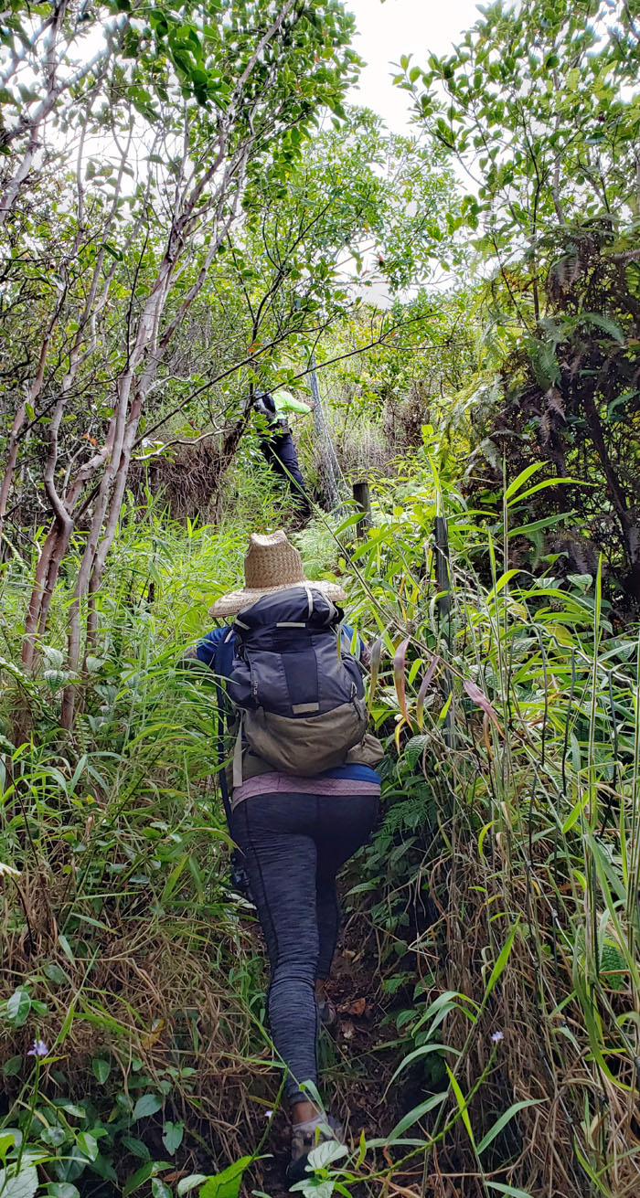
Waianae Summit Trail (WST)
We parted ways with Brian and his group and followed the fence for ridges.
WST
Looking ahead to our intended destination, Mount Ka’ala with her white radar dome perched on top.
WST
Skirting the fenced ridge that borders Makua Valley. Photo by Yoly Bedford.
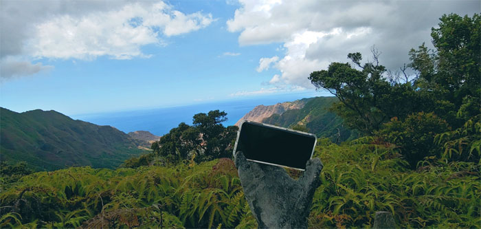
WST
The ultimate selfie stick. It fit like a gloved hand. Photo by Ferlino Carinio.
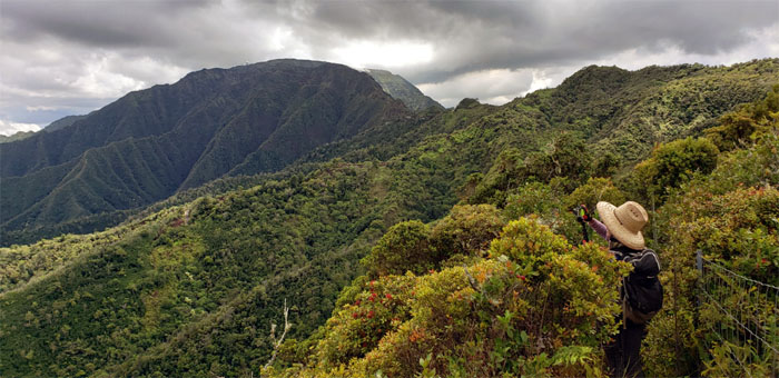
Three Corners
Group photo with two of the three corners, Makaha and Makua Valleys.
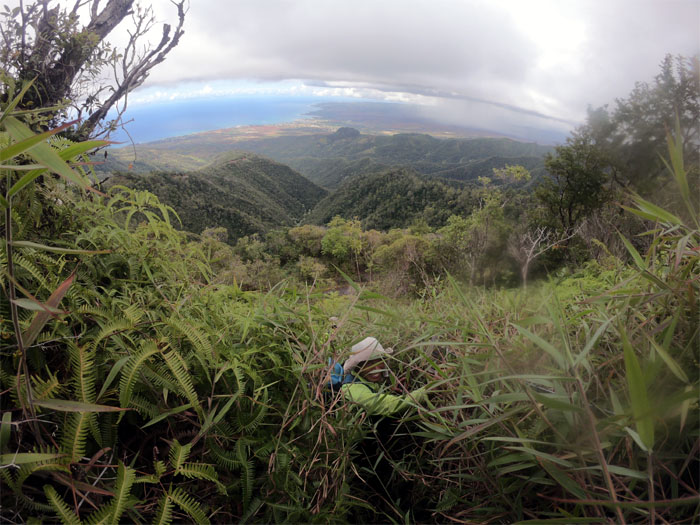
Three Corners
Looking out to the third valley, Mokuleia, where dark clouds were gathering. A harbinger of wet tidings to come.
WST
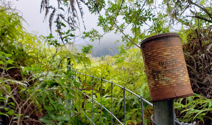
Why pack your food can out, when you can simply leave it on the fence post?
WST
The uluhe ferns and thorny thimbleberry bushes formed a dense and suffocating corridor that we had to push through. Not high on my fun list. Photo by Ferlino Carinio
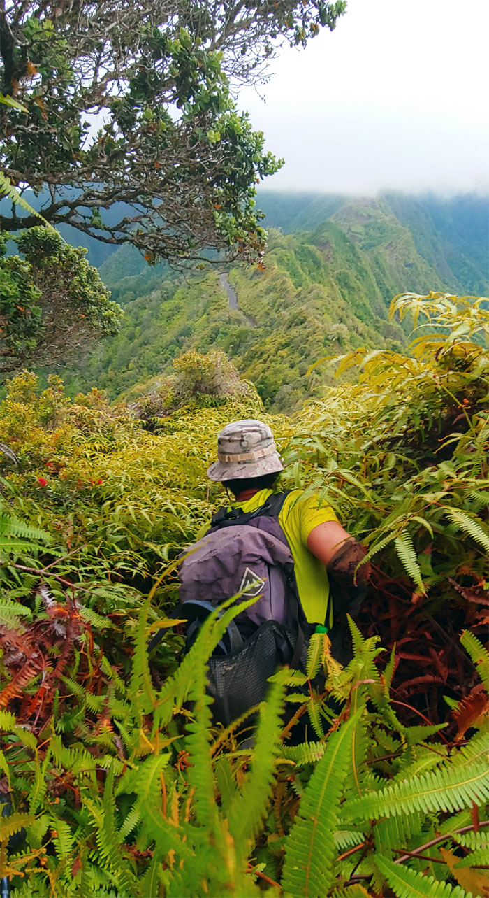
WST
We were in over our heads. Literally. Photo by Yoly Bedford.
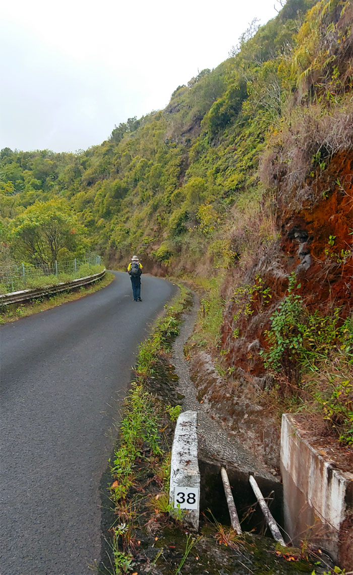
#38
I was so glad to be on solid ground and not being pulverized by plants, that I did not feel the usual misery going up the slow slog of the 2.5 mile road. Photo by Ferlino Carinio.
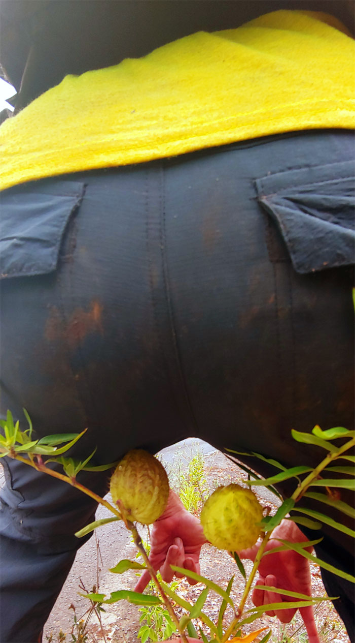
Hairy balls
Hangs low and to the right. Photo by Ferlino Carinio.
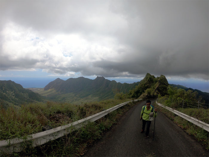
Ka’ala Road
On road. Photo by Yoly Bedford.
Ka’ala Road
Off road. Photo by Ferlino Carinio.
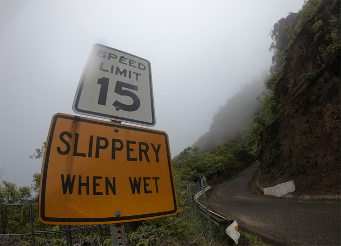
Ka’ala Road
We were warned. Rain showers began dumping on us and soon made it slippery when wet. Photo by Yoly Bedford
Ka’ala Road
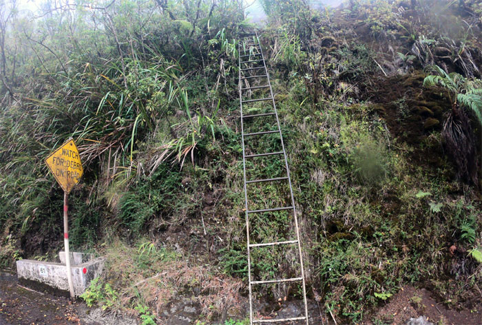
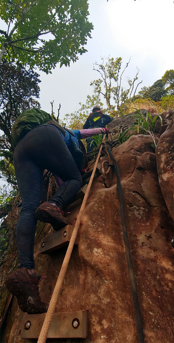
The little known but equally challenging ladder to Ka’ala. Photo by Yoly Bedford.
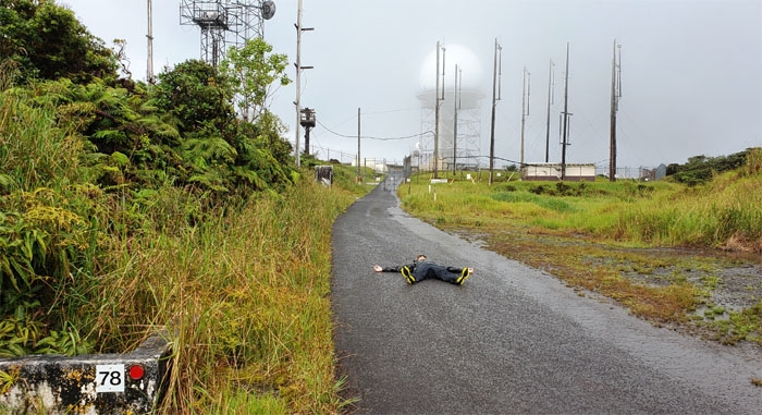
#78
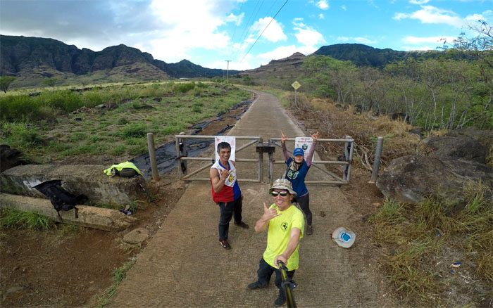
Forty stops later and we were at the highest point on the island. All wet. Photo by Yoly Bedford
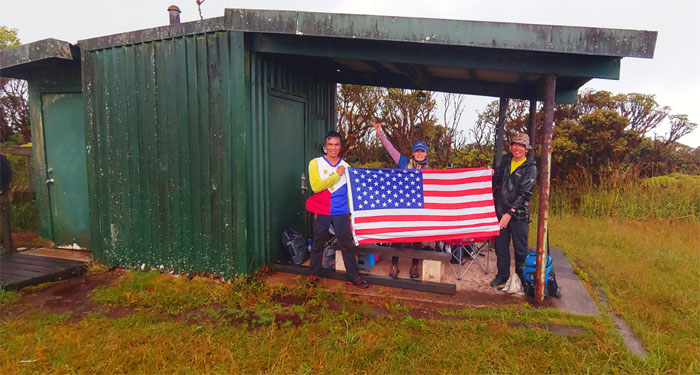
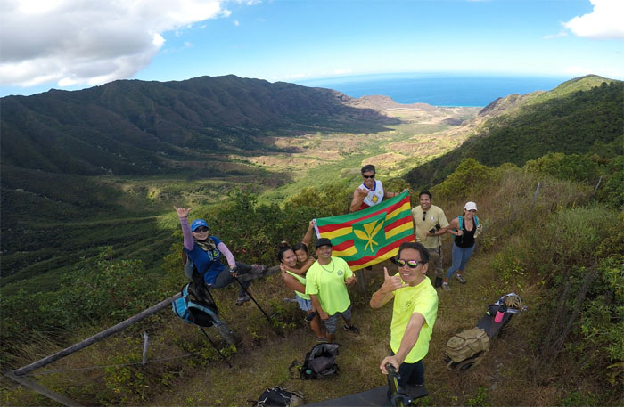
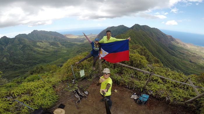
Flag Day
We sought temporary refuge from the rain underneath the shelter where we ran across some volunteers from the OANRP, that were nice enough to take our group photo.
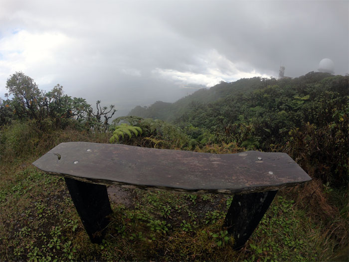
Mount Ka’ala
Bench with a view. Sometimes. Photo by Yoly Bedford.
Mount Ka’ala
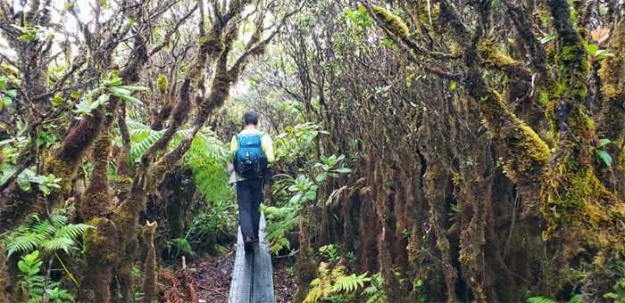
Ferlino going over the boardwalk that protects the fragile bog.
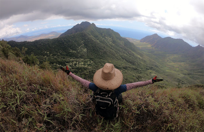
Waianae Ka’ala Trail
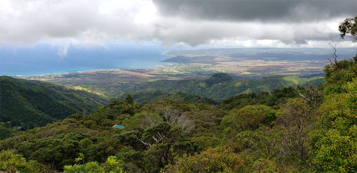
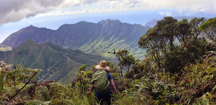
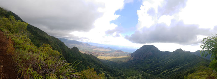
Panoramic view of the valley that opened up as we left the forested summit.
Waianae Ka’ala Trail
Yoly climbing down the bolted ladder. Photo by Ferlino Carinio.
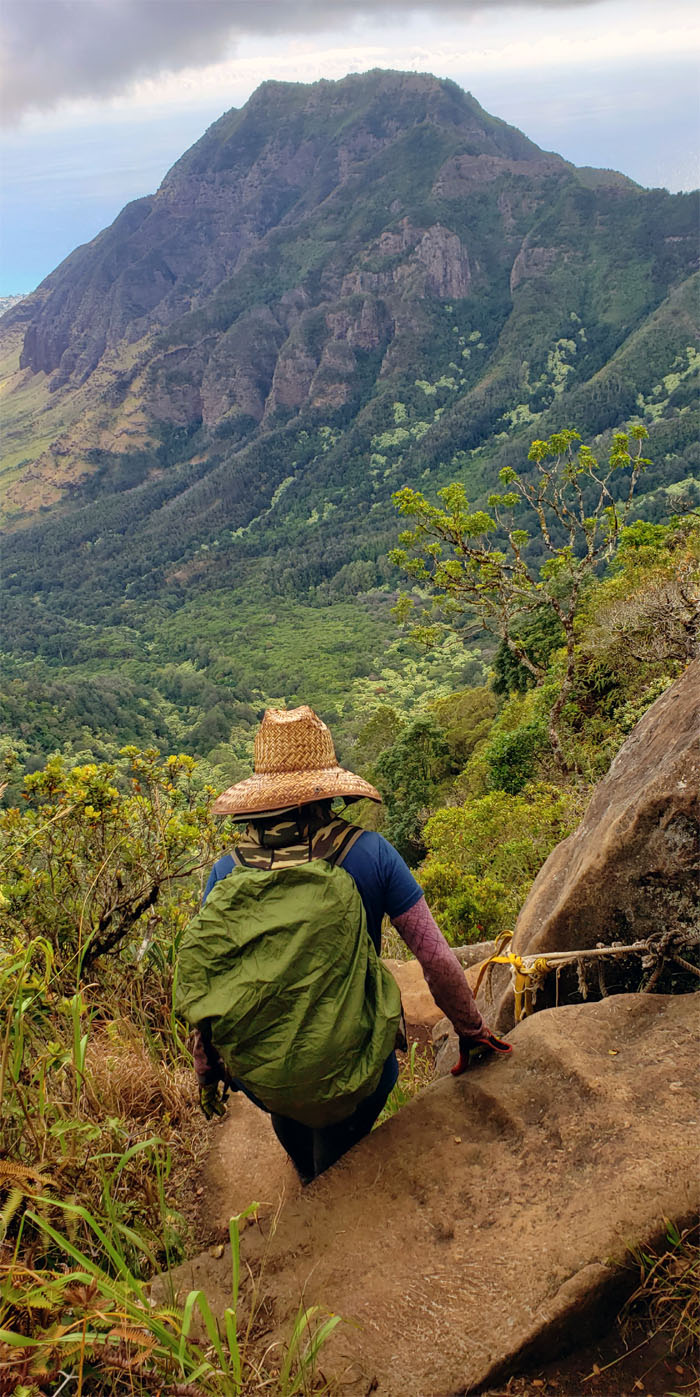
Waianae Ka’ala Trail
Making our way over the last boulder section.
Waianae Ka’ala Trail
Sweeping views of Bolohead Ridge, Waianae Valley, Kamaileunu Ridge, Kawiwi and No Name Peak. Photo by Ferlino Carinio.
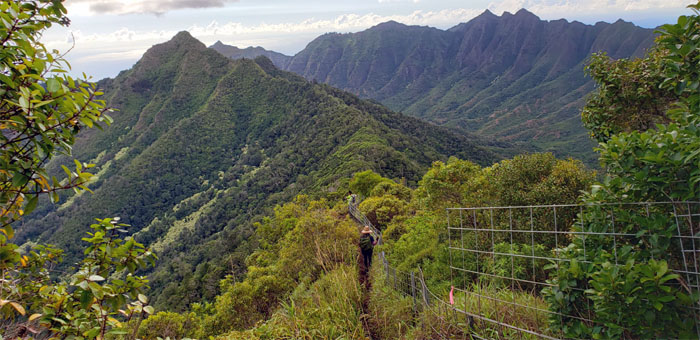
Waianae Ka’ala Trail
Following the fenced trail down to the Three Poles Junction.
Waianae Ka’ala Trail
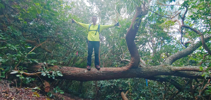
A vertical Ferlino standing on a horizontal tree. I’m surprised he wasn’t hanging upside down. Not enough clearance. Photo by Yoly Bedford.
Waianae Ka’ala Trail
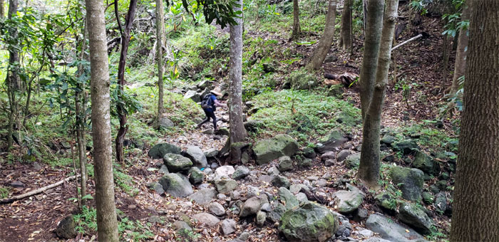
Yoly crossing the trickling stream bed on our way out.
All pau
Thanks to Jasmin for picking us up in the remote valley where barking dogs kept us company.
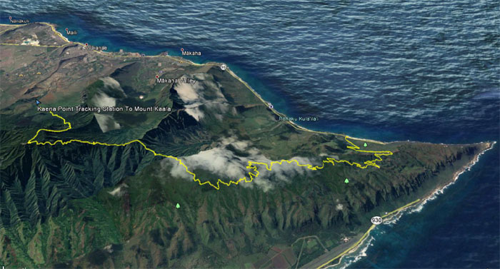
GPS Tracks
Our hike covered 19.82 miles through jeep roads, ridges, mountains and valleys. Post hike meal at Coquito’s; where if the pork chops are not fried to your liking, you can take it home and fry it yourself.
Note: I have been made aware that some hikers have been using my blog as a hiking guide and getting lost on the trails. Please note that this blog was made to document the hike for the crew(s) that did it. That is why some of my comments will seem to have no relevance or meaning to anybody outside of the crew(s) that hiked that trail. My blog was never meant as a hiking guide, so please do not treat it as such. If you find inspiration and entertainment from these hikes, that is more than enough. If you plan on replicating these hikes, do so in the knowledge that you should do your own research accordingly as trail conditions, access, legalities and so forth are constantly in flux. What was current today is most likely yesterdays news. Please be prepared to accept any risks and responsibilities on your own as you should know your own limitations, experience and abilities before you even set foot on a trail, as even the “simplest” or “easiest” of trails can present potential pitfalls for even the most “experienced” hikers.
{ 2 comments… read them below or add one }
That was a thorny hike with cuts and splints on my fingers. Nice hike as always. Thank you Kenji.
Aloha Ferlino,
Yup bushwhacking and cardio all rolled up into one hike! Thanks for coming.
Mahalo