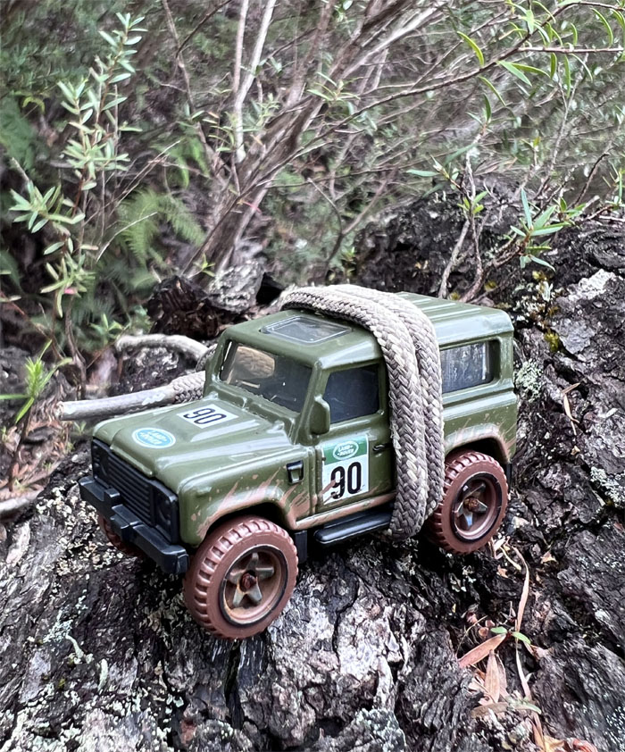
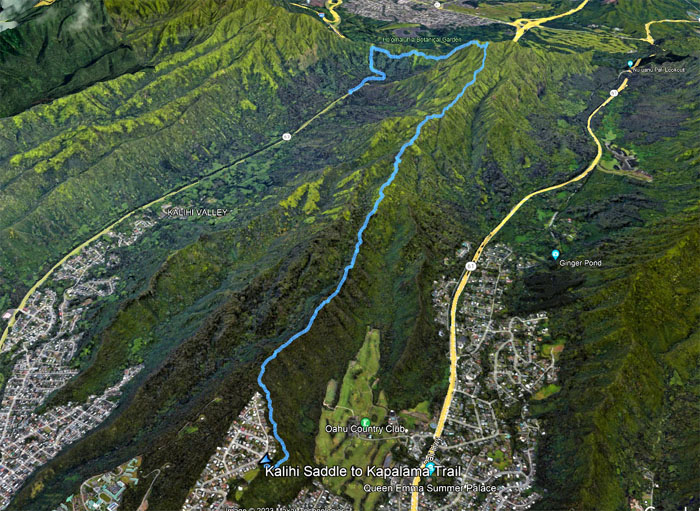
Our last hike of the year was spent climbing and scrambling on an eroded ridge. The abbreviated version.
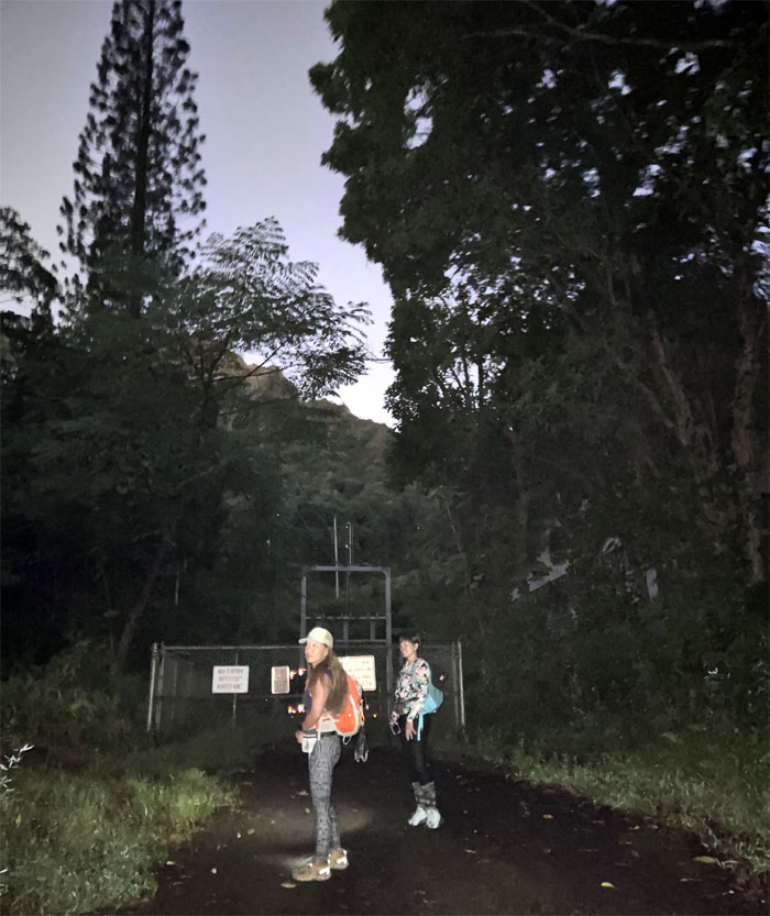
Thanks to Alexis and Lilia for dropping Aileen, Aya, Chico and myself off on the side of the dark highway where we apparently interrupted a couple in progress. I’ll leave it to your imagination as to what was interrupted.
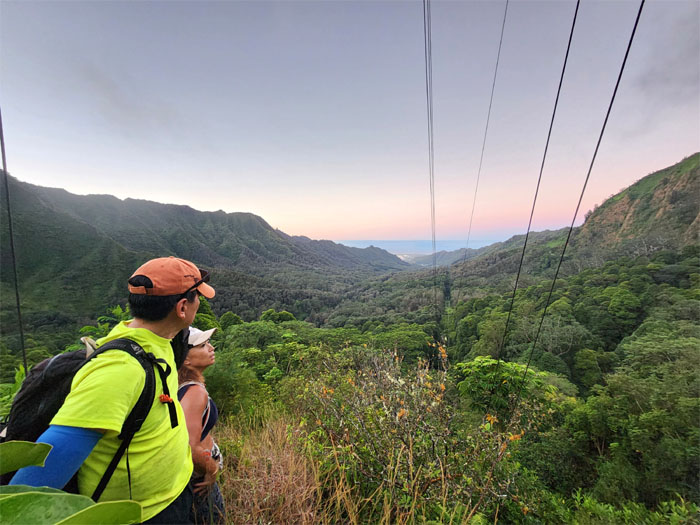
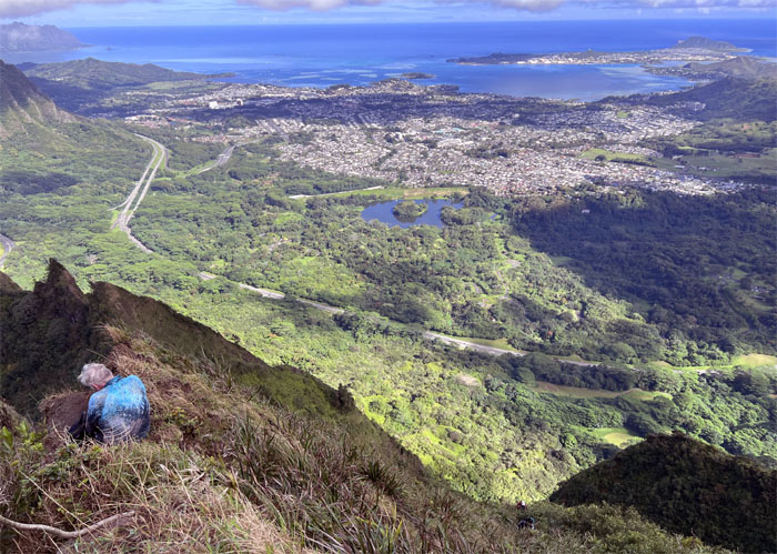
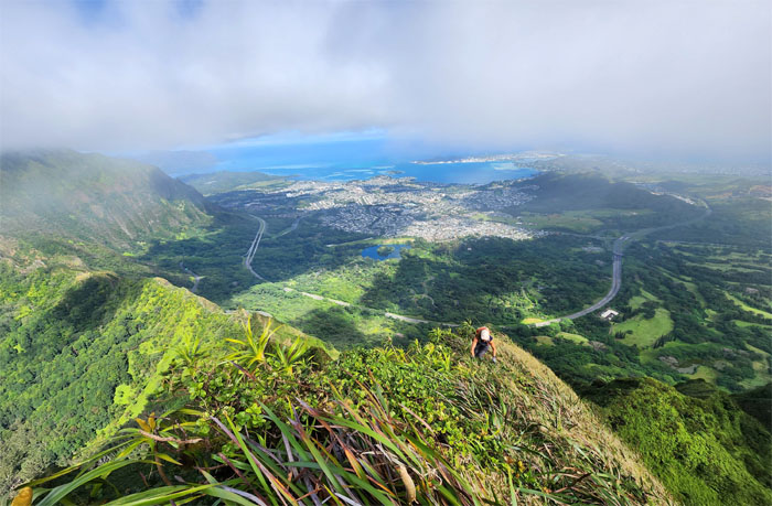
Looking back into the valley of introduced marsupials and interrupted intimacy couples.
Chico pointing in the direction that we will be hiking today. It pays to have somebody with good navigational skills in your group.
Scrambling up the hill and leaving the power grid behind us.
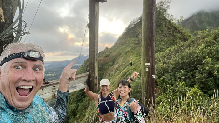
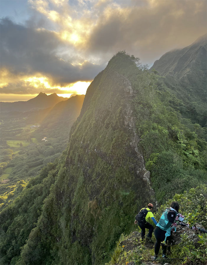
Catching the breaking sunrise over the dorsal shaped rock.
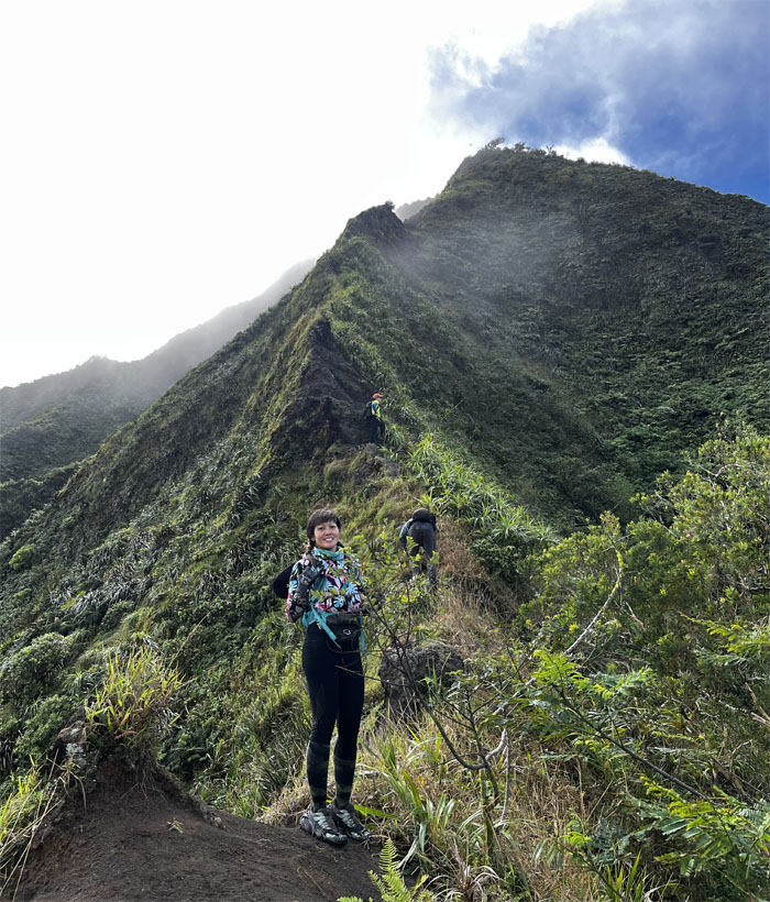
Aya with the peak of Bowman behind her.
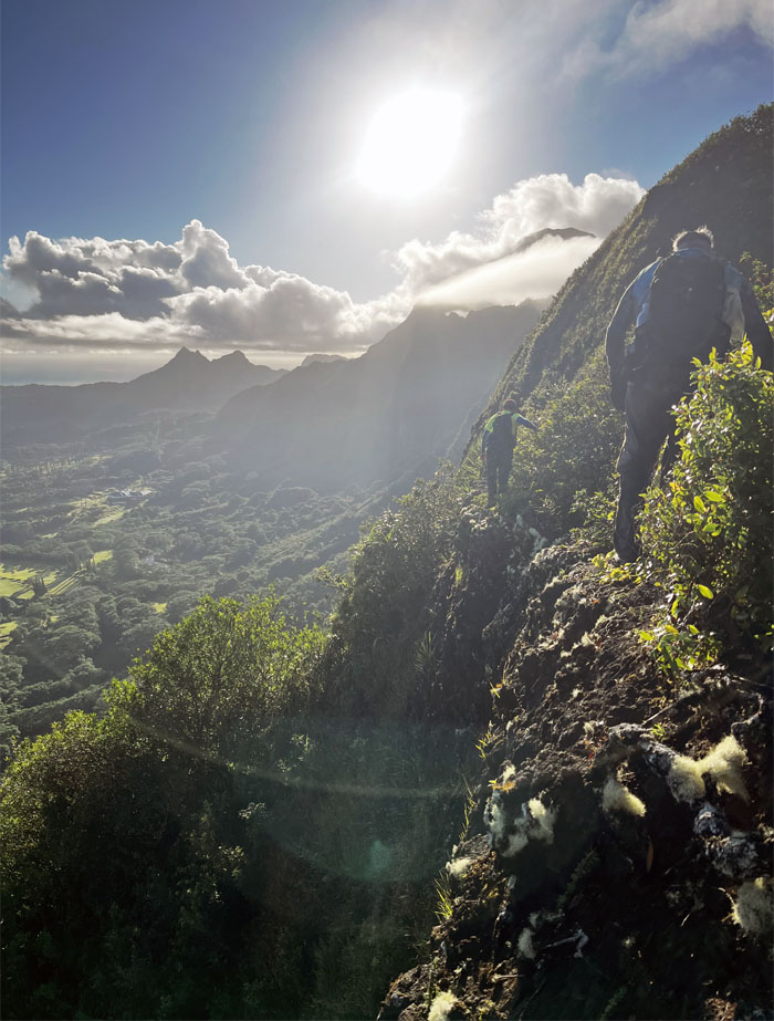
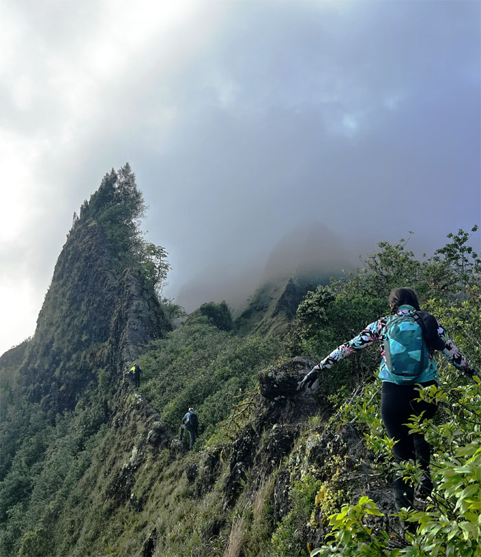
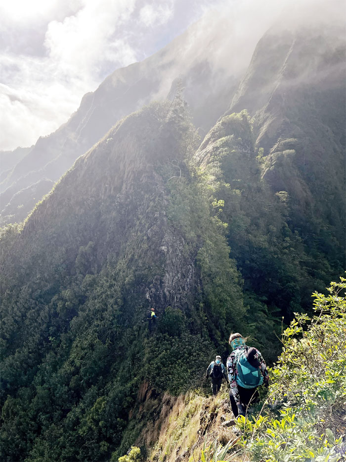
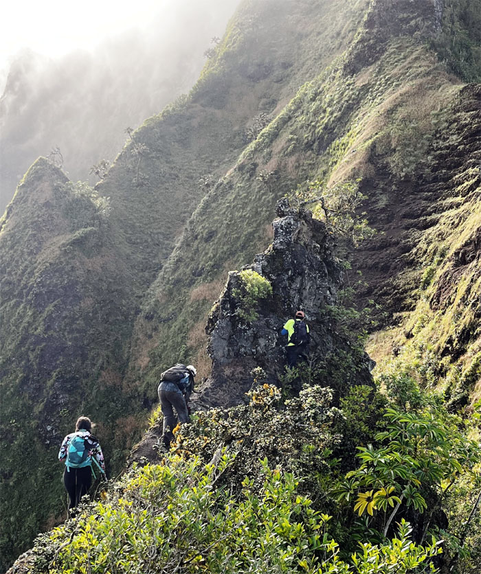
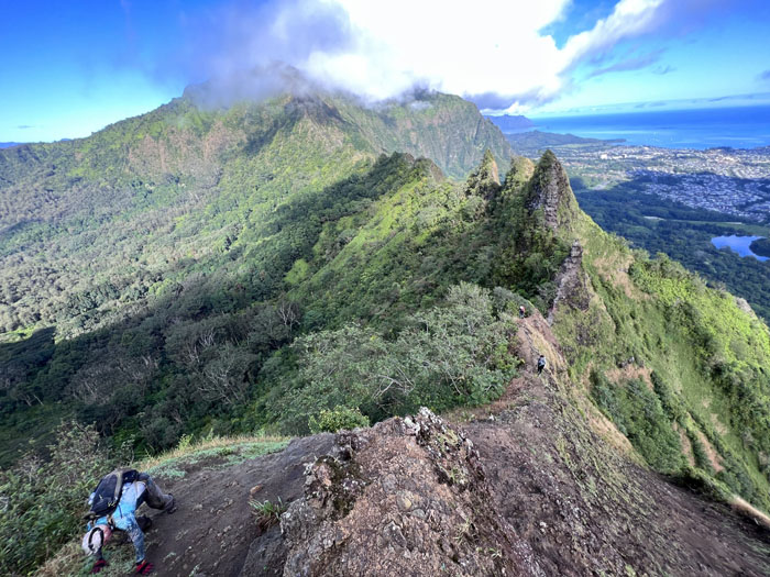
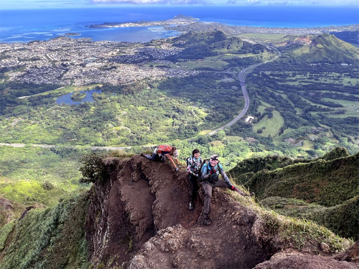
Hiking on the edge. Literally.
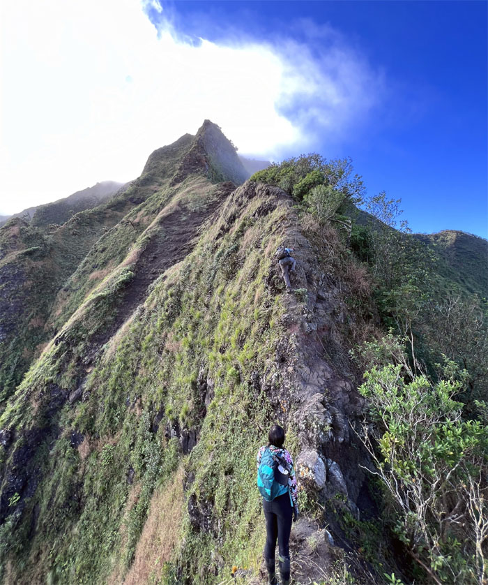
The group making their way up the grassy hill.
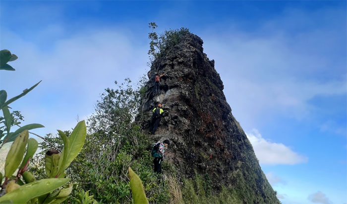
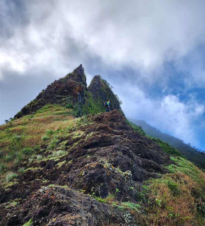
Making our way towards the first of the not so fluffy pinna shaped rocks.
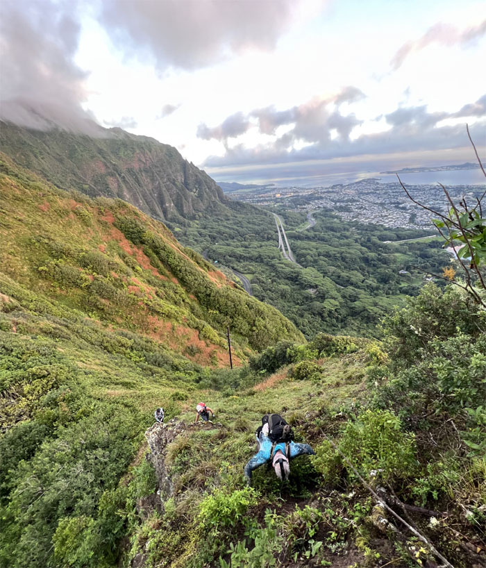
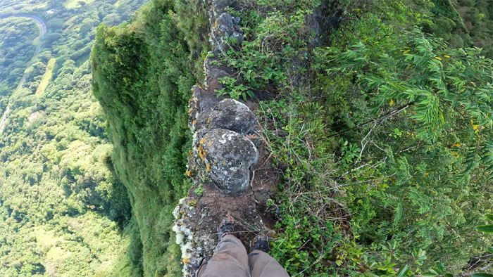
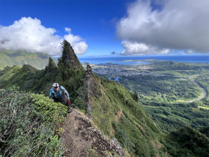
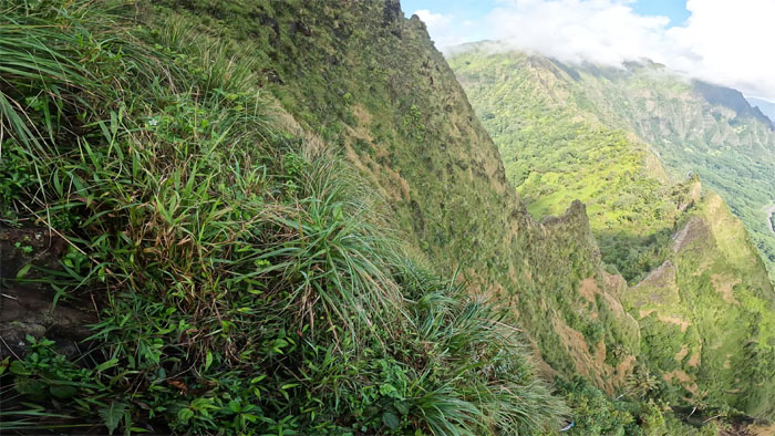
First rule of falling. Don’t. But, if you have to fall, fall on the Leeward side and not the Windward side. The reasons should be quite obvious.
Climbing our way up after we passed the first rule.
The group descending down the other side.
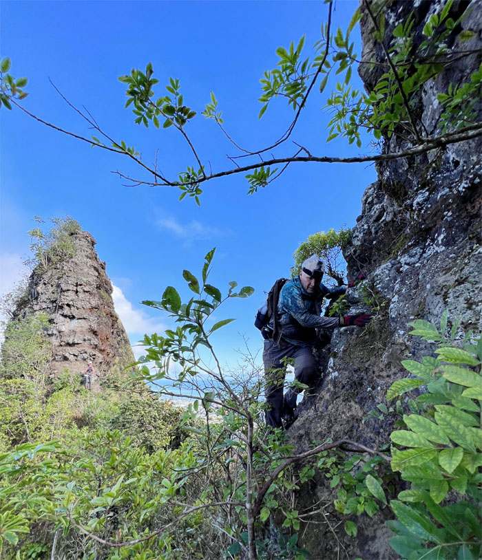
Traversing between the two pinna shaped rocks.
Aya leaving the Bunny Ears behind her as she climbed up the back of the doorstop.
Pointing out the steep climb ahead of us to the group. It looks more impressive than when you actually climb it.
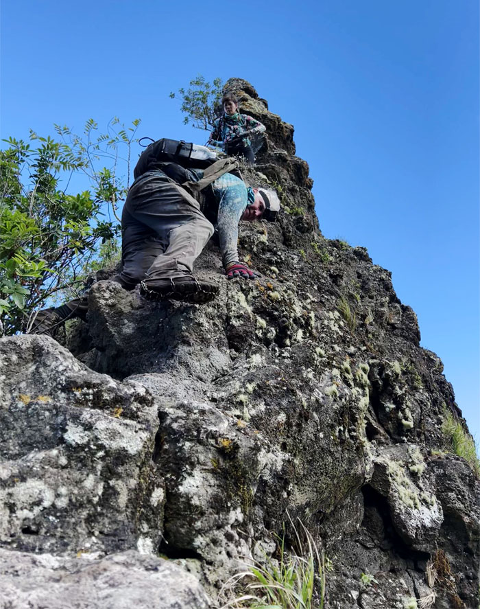
Aileen climbing her way down the 40′ plus slab of rock.
Aya making short work of the climb down. Noticed that a lot of rocks have dislodged since my last visit.
Contouring our way around the blister of a rock.
Chico staying high and close.
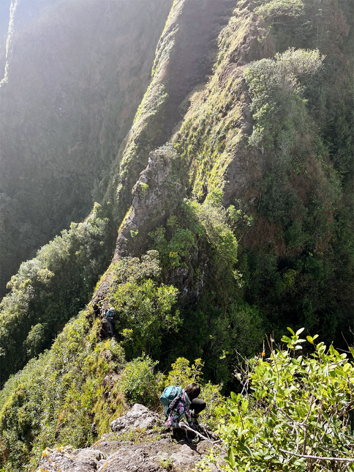
Climbing my way down the crumbly sliver of rocks held loosely together by compacted dirt.
The rest of the group climbing down, one crumbly rock at a time.
Aileen watching Chico climb his way up.
Chico making his way to the Can Opener.
Checking out the bulging fridge on top. One day.
The group scrambling their way up through loose dirt and rocks.
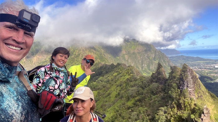
Group photo at the oft-photographed background of Kalihi Saddle.
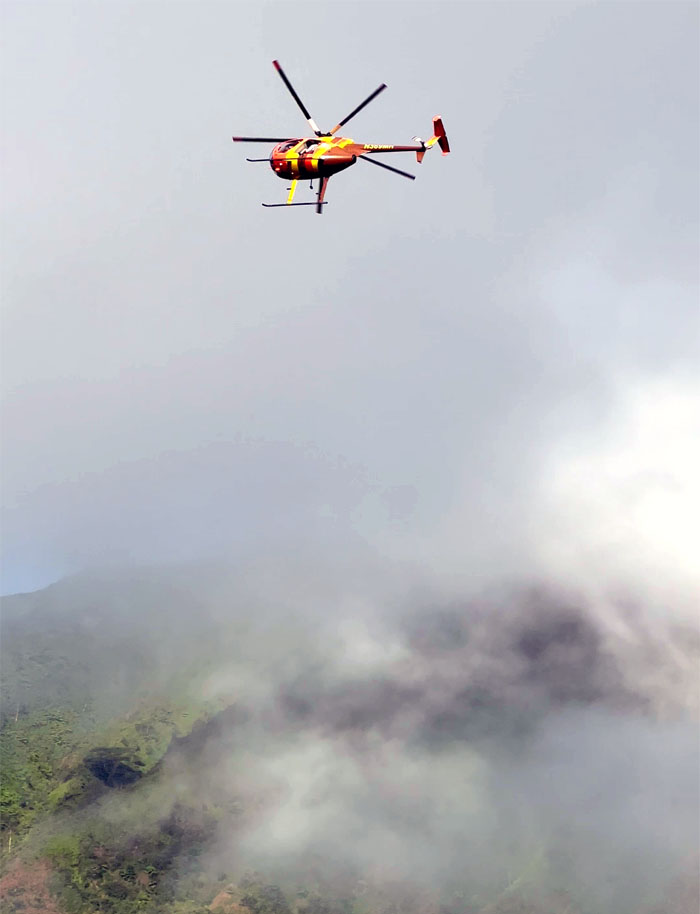
Chico’s friend doing a fly-by. No free tour?
Contouring our way below the Can Opener.
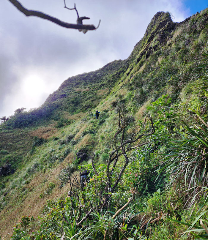
Climbing up the grassy slope.
The rest of the group making their way up the lower tier.
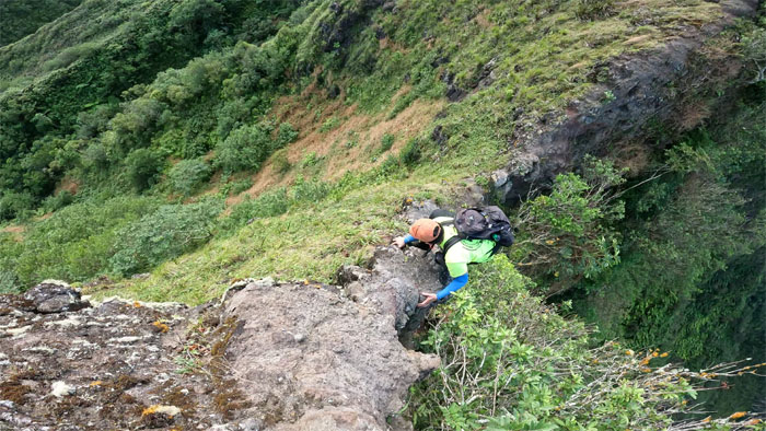
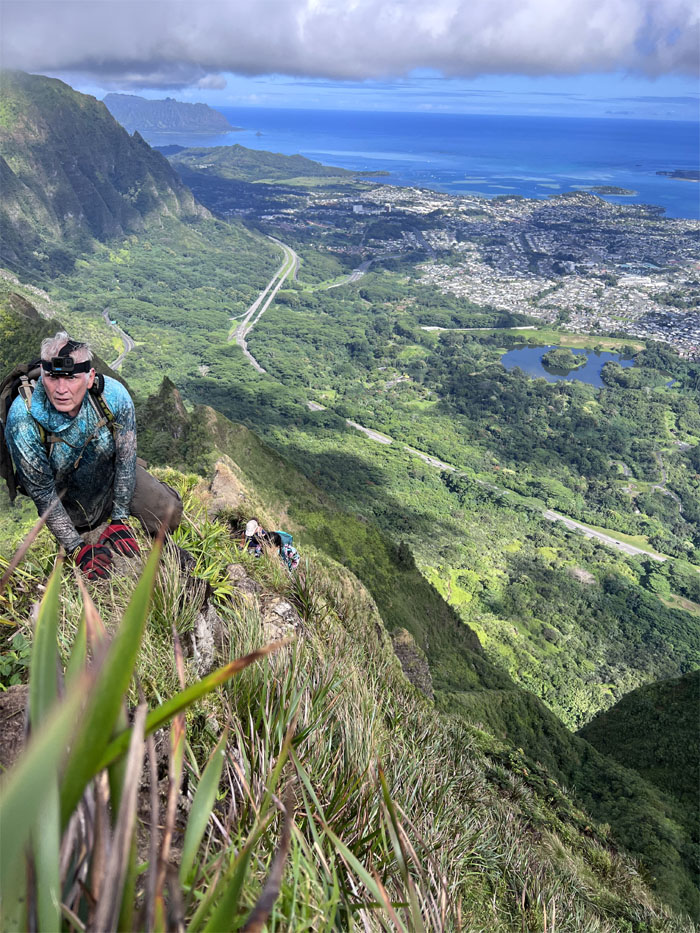
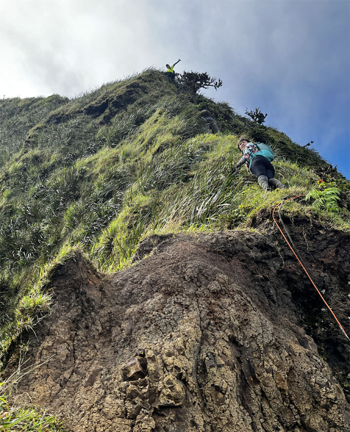
View from the upper tier of the wall looking down. One at a time going up.
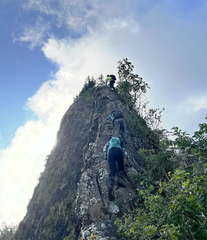
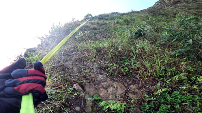
Chico testing the webbing and watching for falling rocks before he begins his nearly vertical climb.
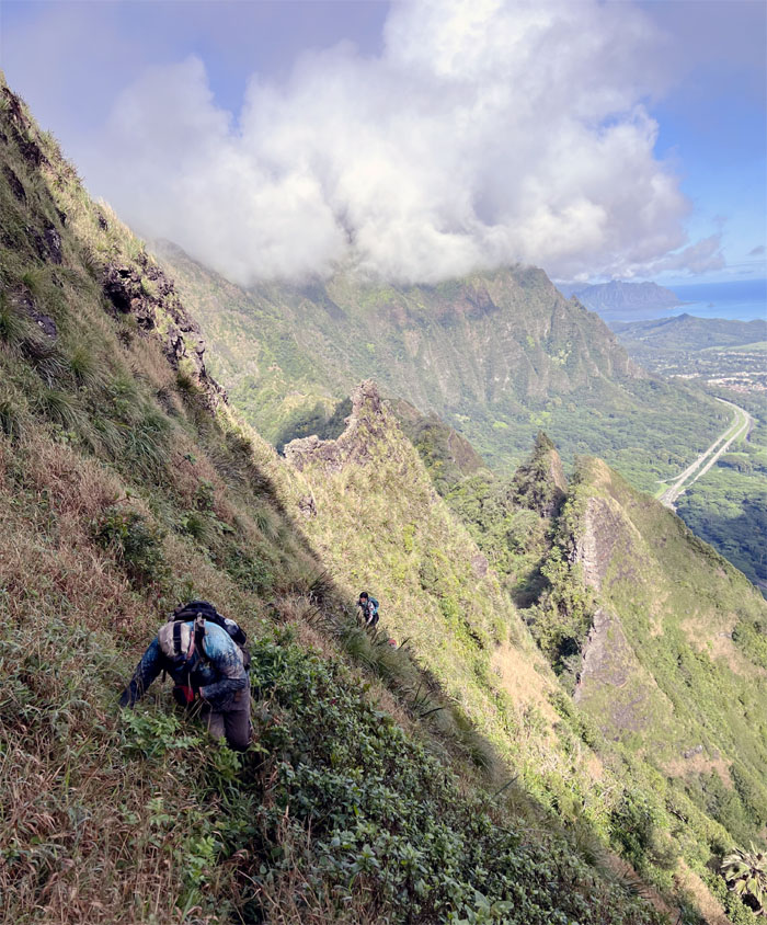
The group climbing their way back to the ridge line.
We only had roughly 700′ more of elevation gain before the summit.
The group going up the steady climb of eroded sections and woody climbers.
I guess the dragon was hungry. Poor bird.
Crawl or sit. Take your poison.
Leaving the severely eroded legendary creature behind us.
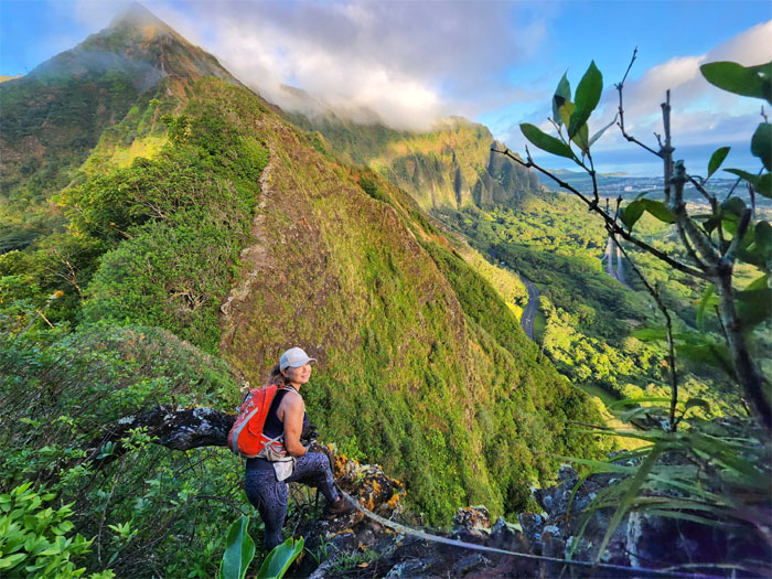
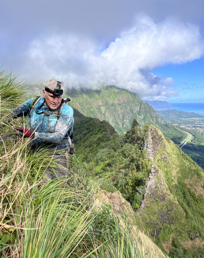
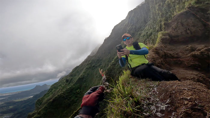
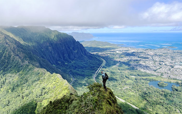
Chico with a commanding view. Remember the first rule.
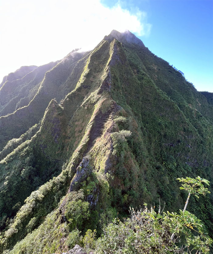
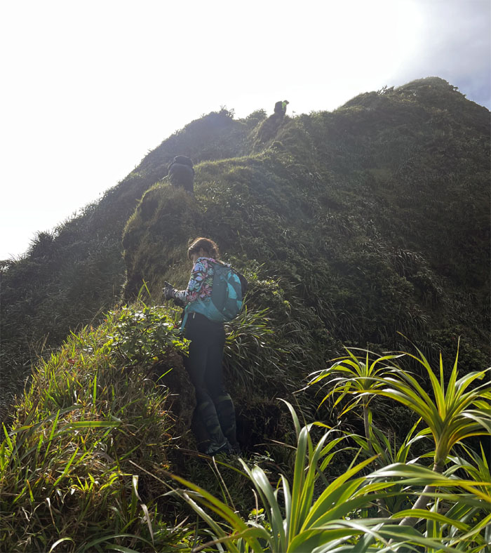
Making our way up the seemingly serpentine ridge line.
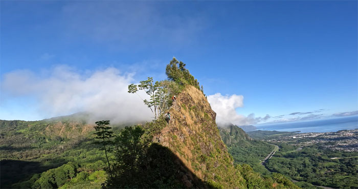
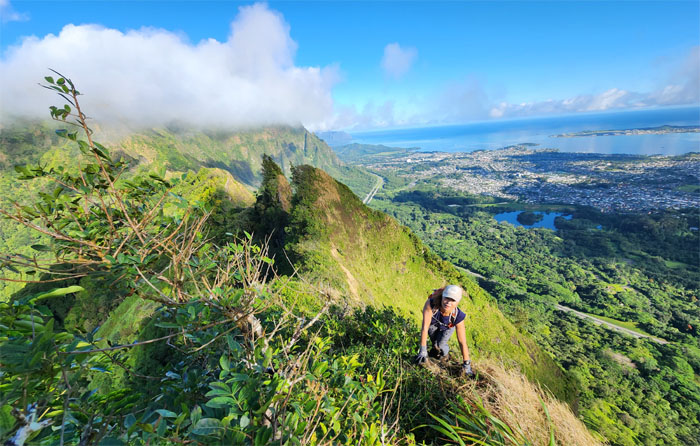
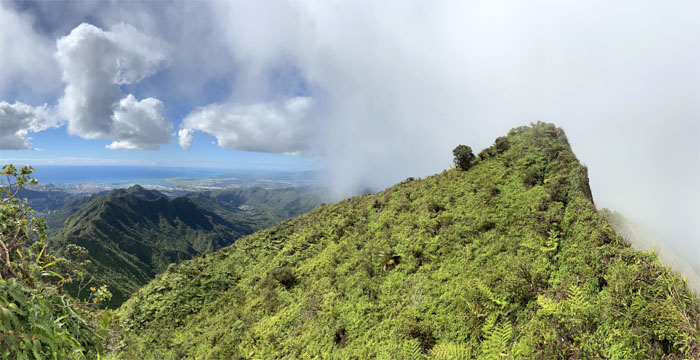
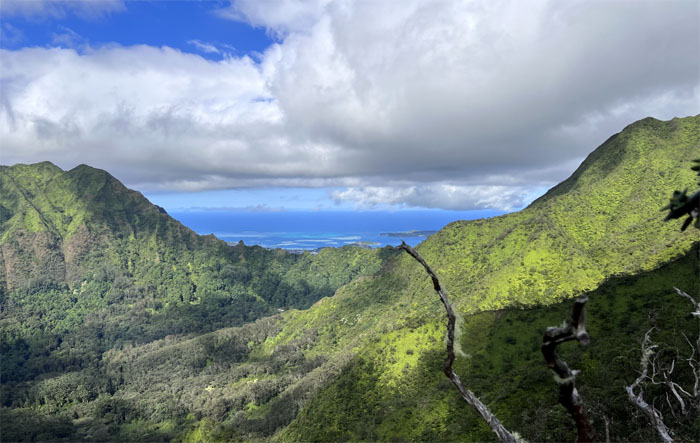
Panoramic view of the Windward coastline behind us.
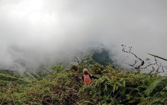
The group making their way through the overgrown trail to the summit.
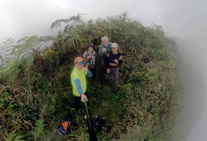
Group photo at the 2,700′ summit that lived up to its name. Swirling Heavens.
It was decided that the group was not ready for the full tour, so we made our way down a trail favored by Kamehameha students.
Looking back at Kalihi Saddle in its entirety.
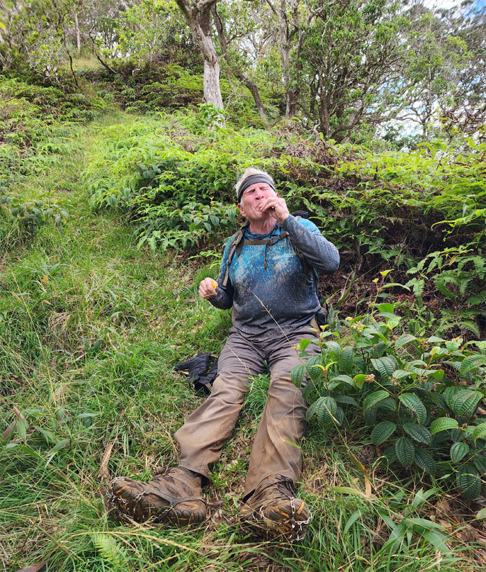
Chico pretending to be a hot dog as he sucks down the mustard packets.
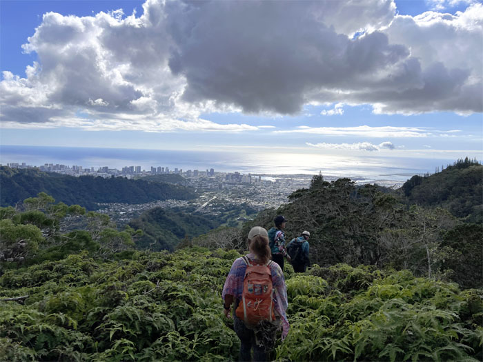
Enjoying the city views on our way down before we lost them when we descended down into the tree line and made our way to the park.
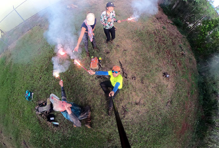
Ringing in the New Year with my last saddle tour hike. It will be hard to keep prices down to a wooden nickel. Inflation and all.
Fun times with a great group on our 5.5 miles hike. Mahalo to Lilia for picking us up. Happy New Year to all and to all a peaceful night.
Photos taken by Aileen Agustin, Aya Asanuma, Chico Cantu and yours truly. Not necessarily in order.
Note: I have been made aware that some hikers have been using my blog as a hiking guide and getting lost on the trails. Please note that this blog was made to document the hike for the crew(s) that did it. That is why some of my comments will seem to have no relevance or meaning to anybody outside of the crew(s) that hiked that trail. My blog was never meant as a hiking guide, so please do not treat it as such. If you find inspiration and entertainment from these hikes, that is more than enough. If you plan on replicating these hikes, do so in the knowledge that you should do your own research accordingly as trail conditions, access, legalities and so forth are constantly in flux. What was current today is most likely yesterdays news. Please be prepared to accept any risks and responsibilities on your own as you should know your own limitations, experience and abilities before you even set foot on a trail, as even the “simplest” or “easiest” of trails can present potential pitfalls for even the most “experienced” hikers. One should also always let somebody know of your hiking plans in case something doesn’t go as planned, better safe than sorry.


{ 4 comments… read them below or add one }
Is it easier to go to the Pali Puka rather than the Kapalama trail?
Aloha Sunshine,
I think so. However, it’s more narrow ridges vs a relatively safe trail albeit longer.
Mahalo
One of the best experiences I’ve had in my life. Thanks Kenji for your experience, guidance and friendship!
Aloha Chico,
Glad you fun. Thanks for your fun company and friendship as well.
Mahalo