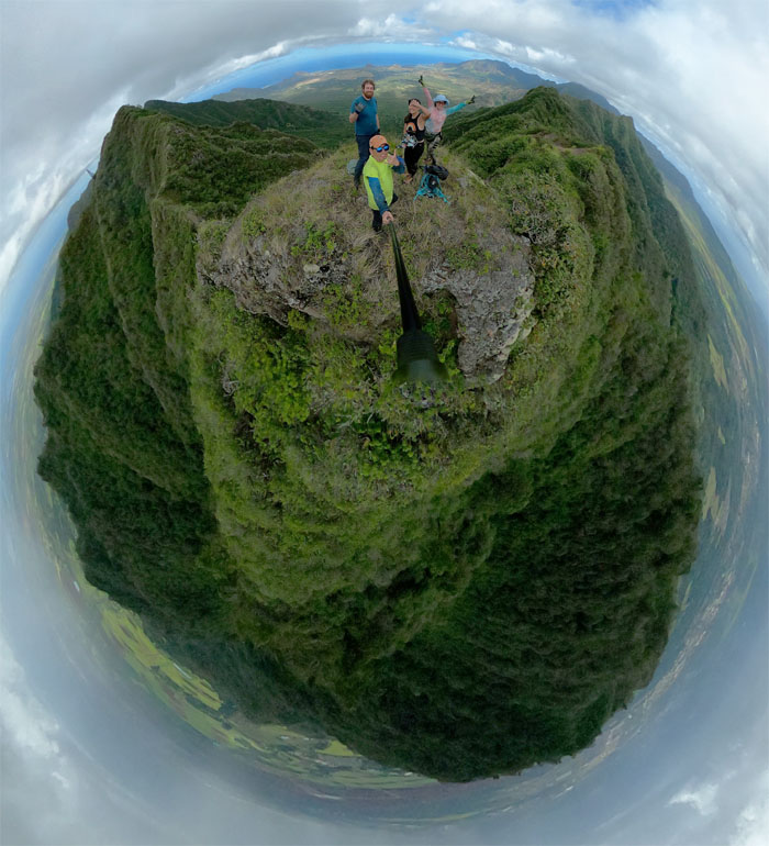
It was that time to connect the shortcut and hope it doesn’t turn out to be another long day.
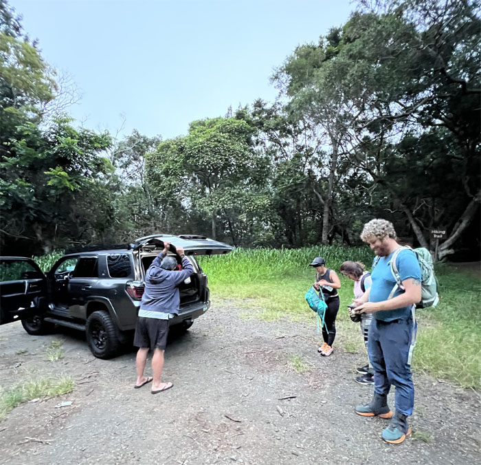
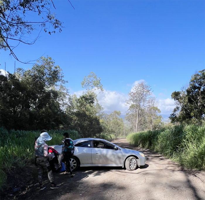
100% ID check. Thanks to Edgar for dropping us off at the lowest point in the Waianae Mountain Range.
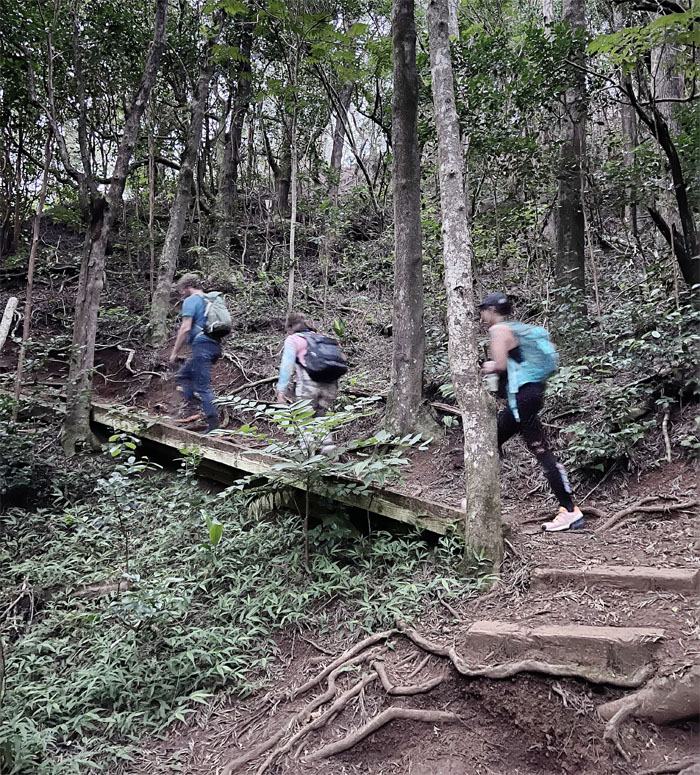
Going up the wooden steps.
Who wants to be on the chopping block?
We have our first victim, I mean volunteer.
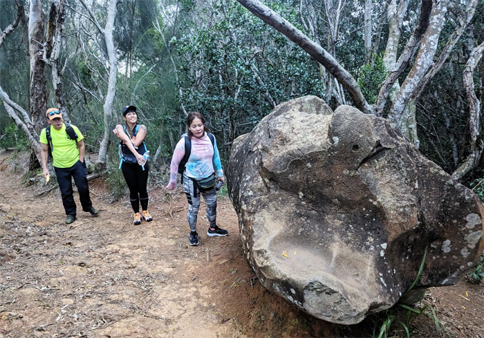
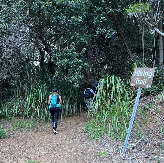
This must be the way.
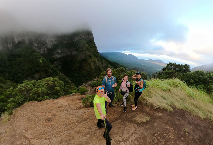
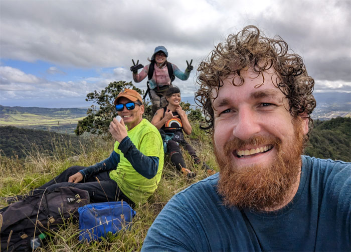
Our first group photo of the day in the meadow and certainly not our last.
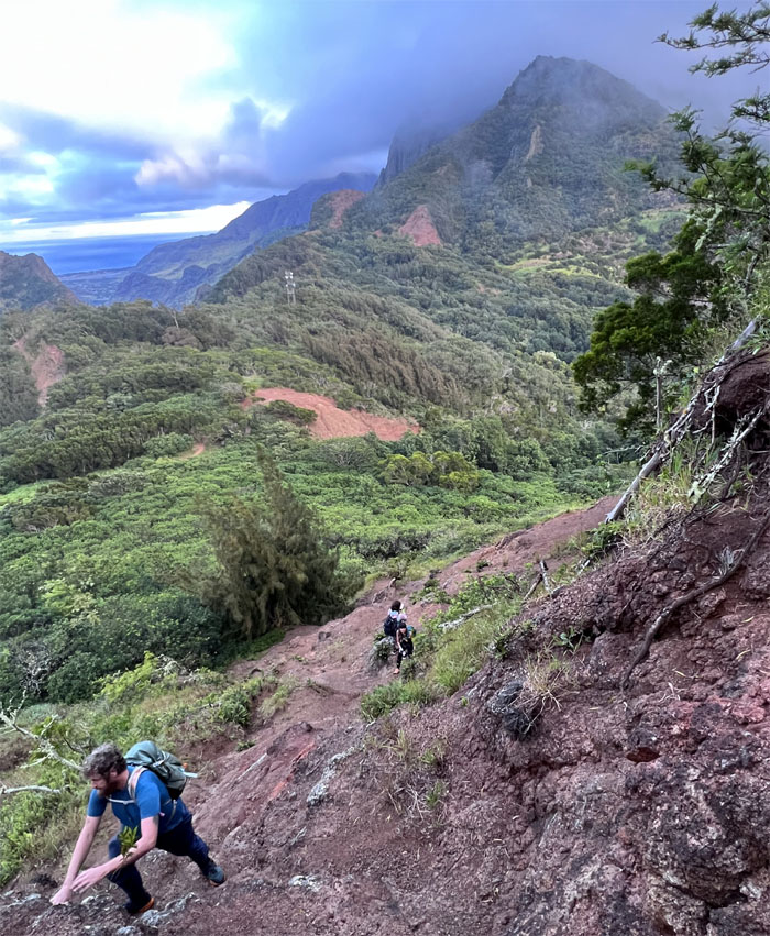
Why take the contour when you can take the middleman out of the picture and go straight up?
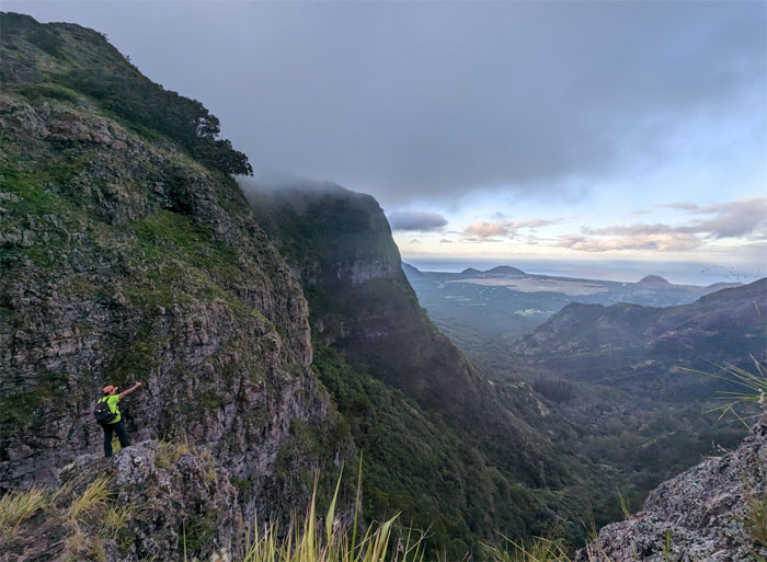
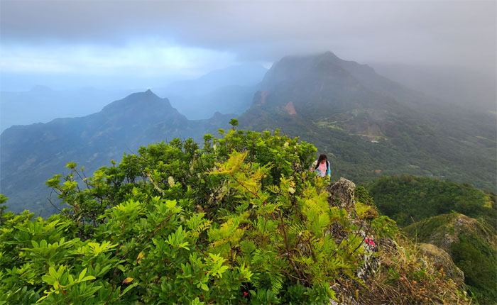
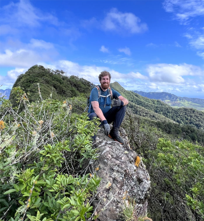
Enjoying the morning view. Just needed a cup of coffee.
Hello from the other side.
Scrambling out of the notch.
Looking back at the group on the second notch.
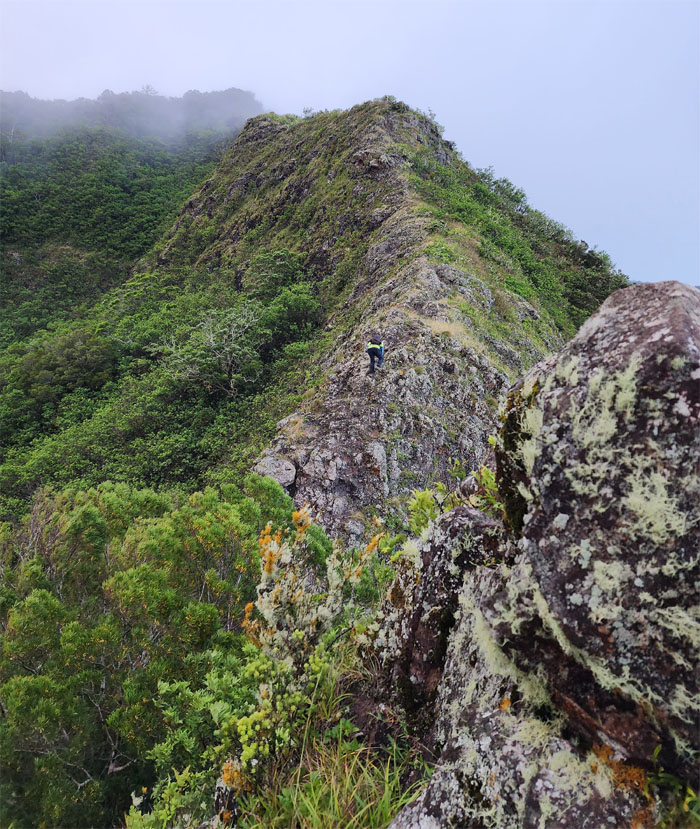
Slowly gaining elevation as we hiked up the ridge.
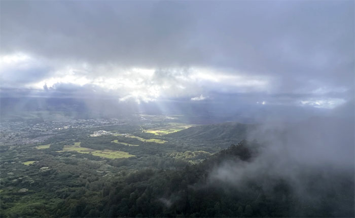
The sunbeams were trying to fight the clouds and the clouds were winning.
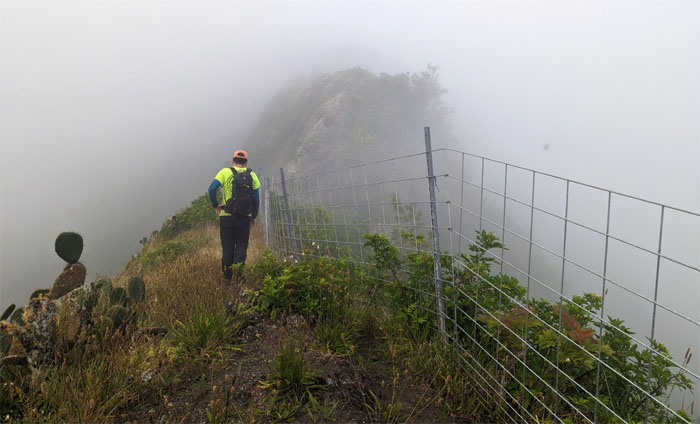
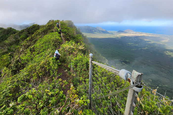
Following the fence line to the top.
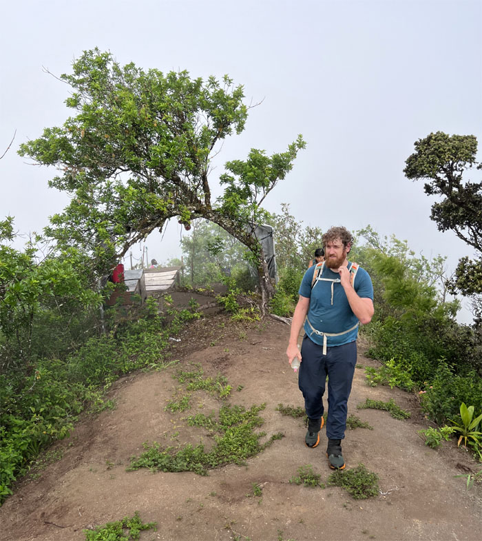
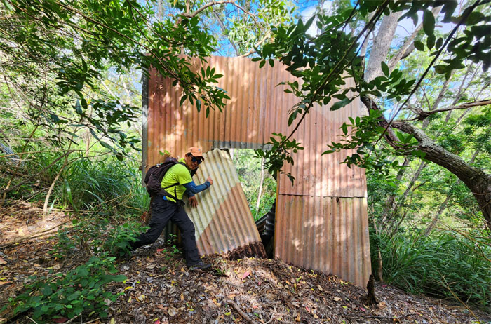
Passing through the tent shelter.
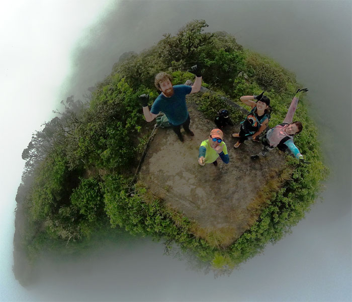
In the clouds at the 2,883′ summit.
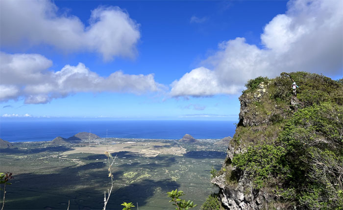
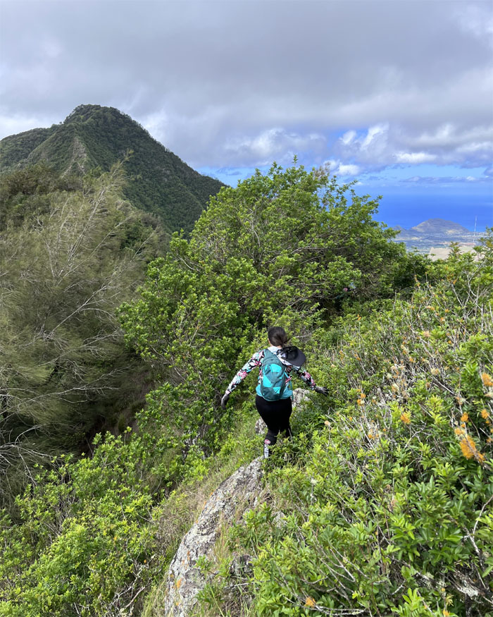
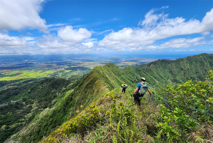
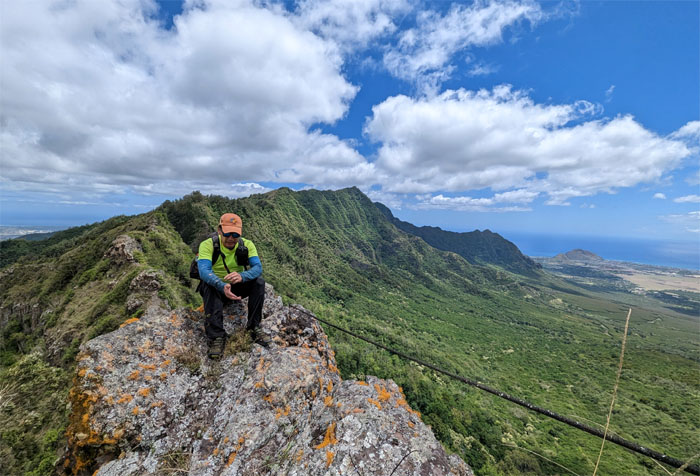
Traversing the fenced ridge line with far reaching views of the largest coastal valley on the island. Crossing unstable fences can lead to involuntary castration. Jockstrap optional.
Looking back at the red and white striped twin guy masts that stand over 1,500′ tall and were built in 1972.
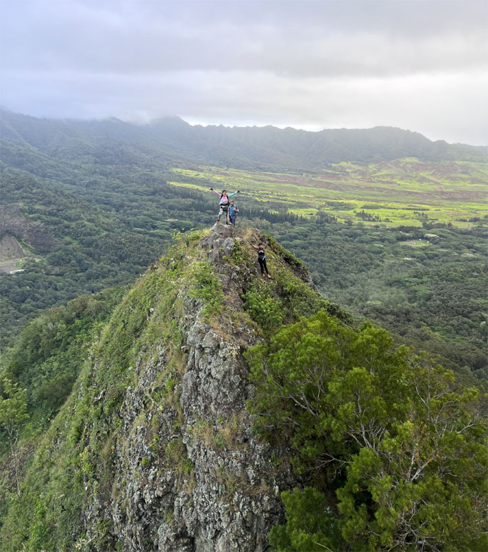
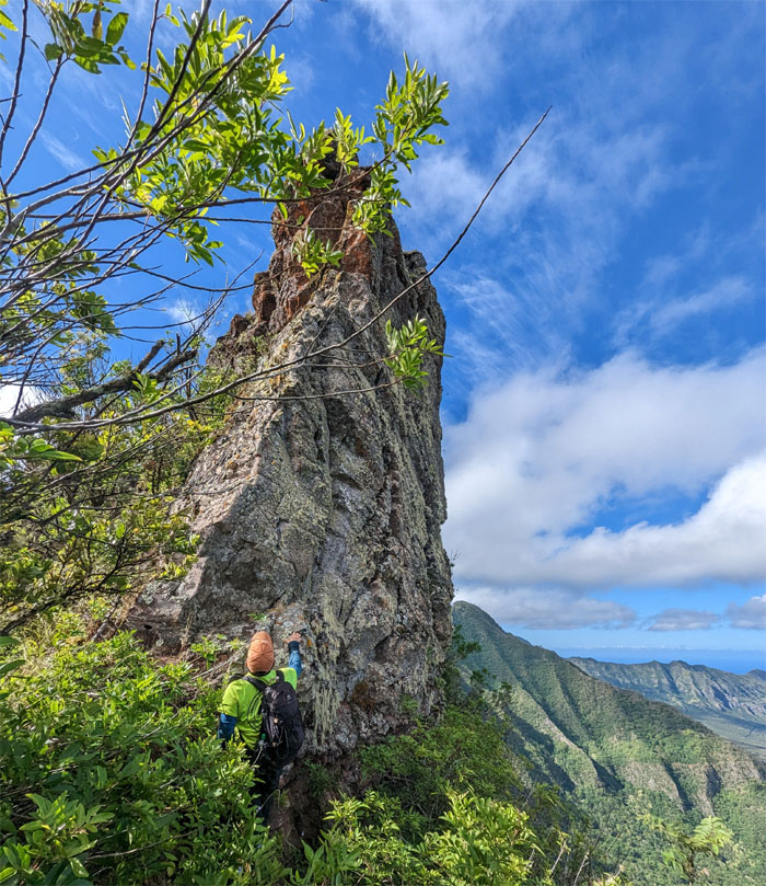
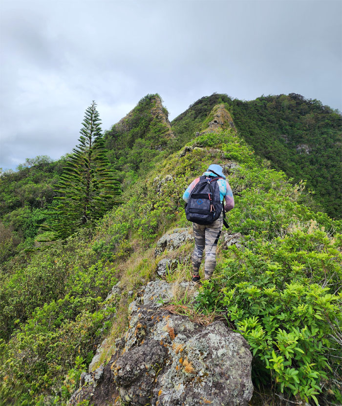
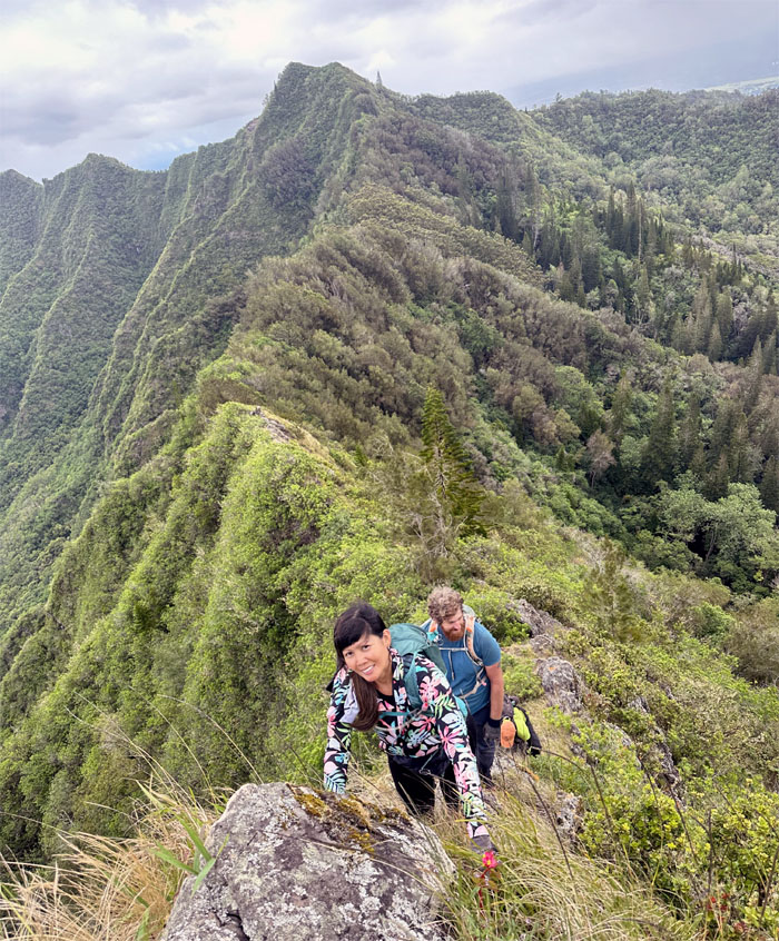
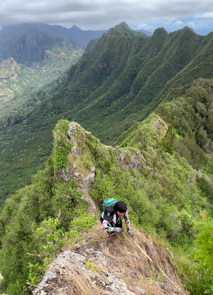
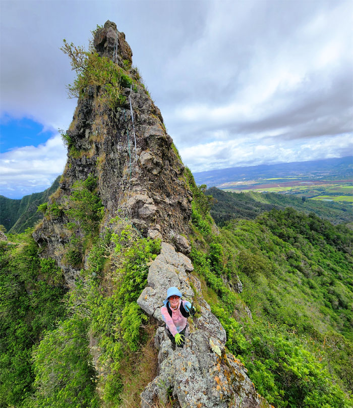
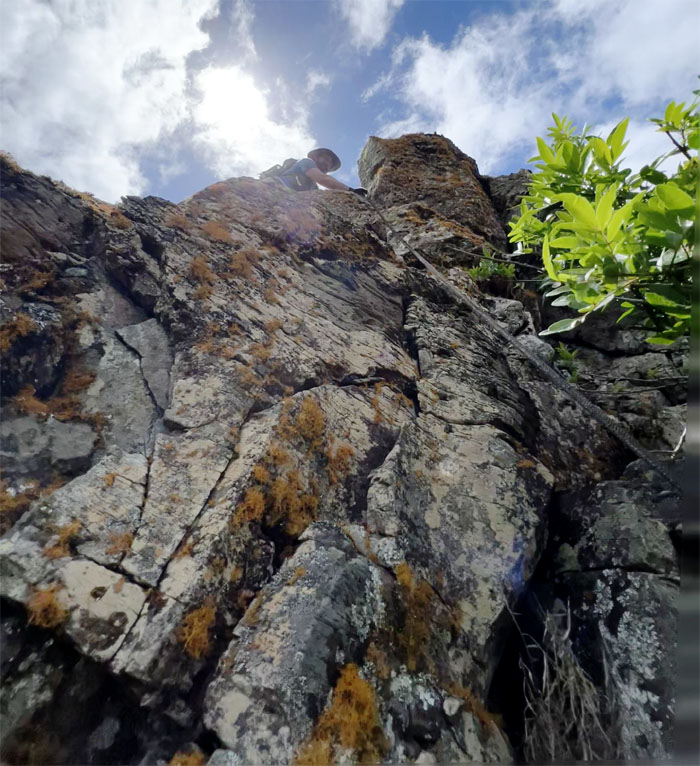
Craning my neck upwards to get a better perspective of the spire rock.
Thomas traversing over one of the elevated rock dikes on the trail.
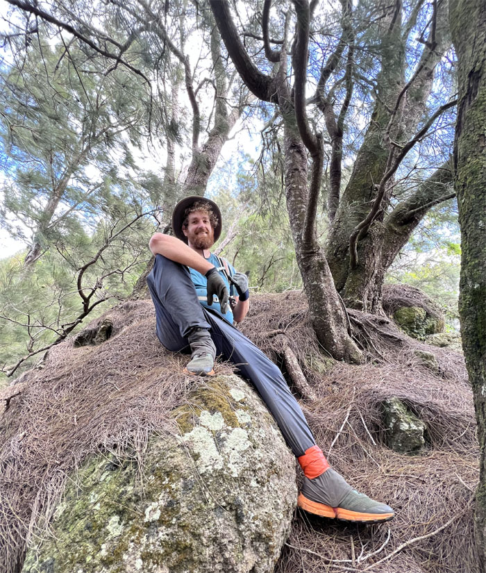
Breakfast club at the 2,778′ knob.
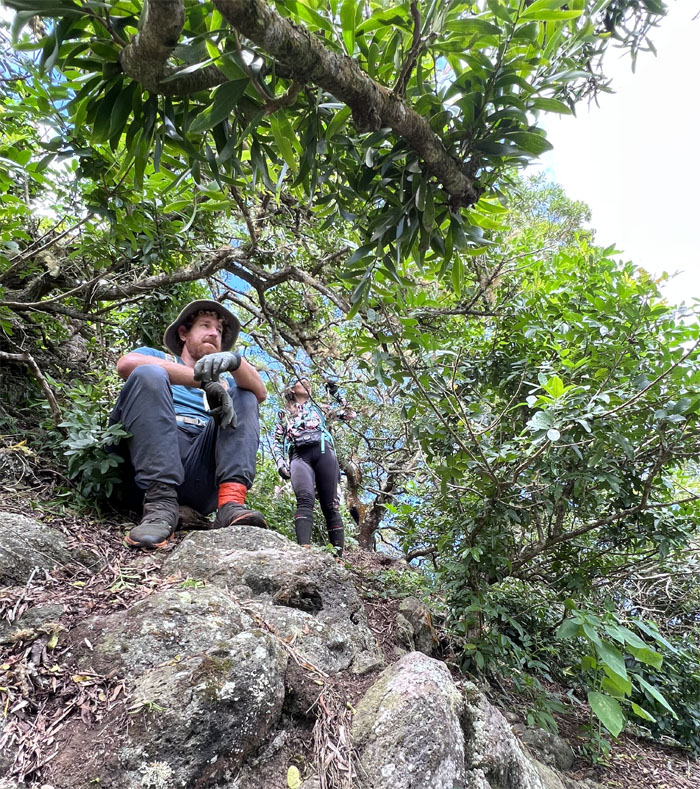
Headed into one of many small clumps of trees on the ridge line.
CJ approaching the Christmas tree.
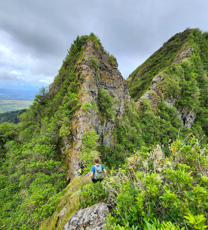
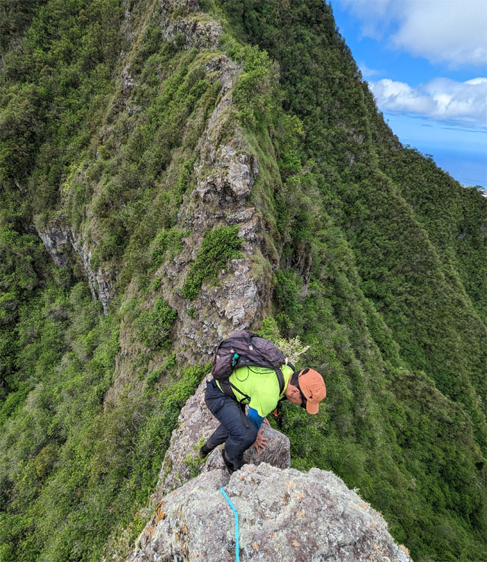
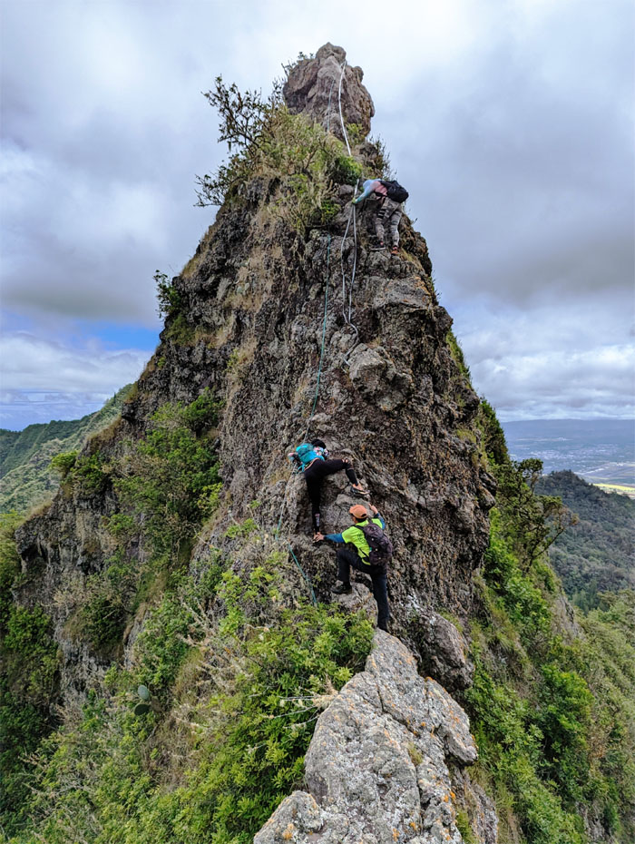
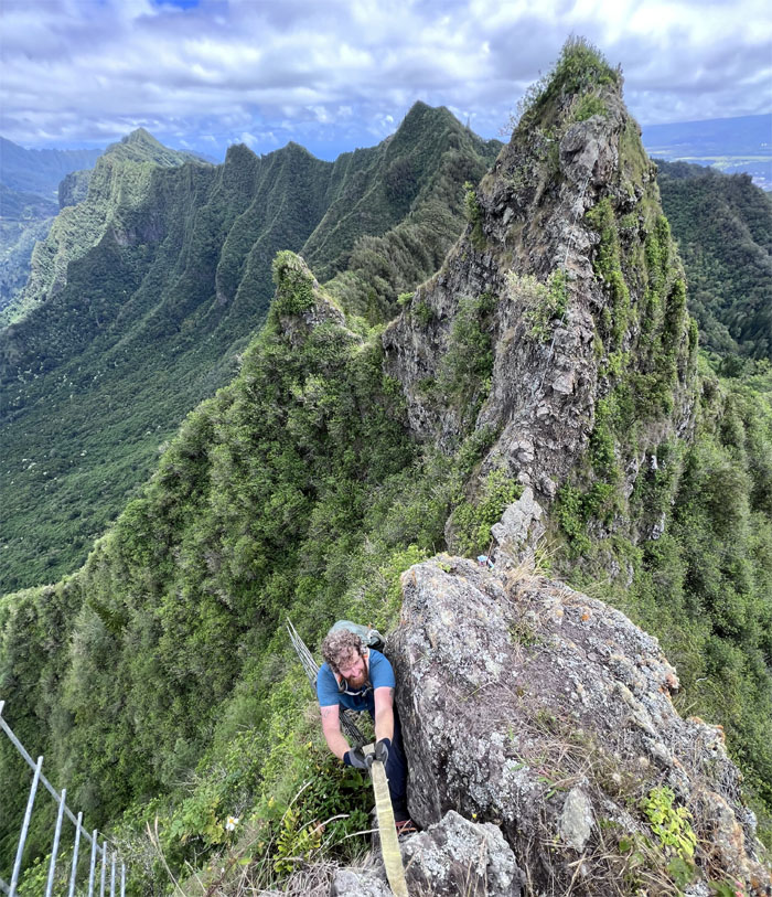
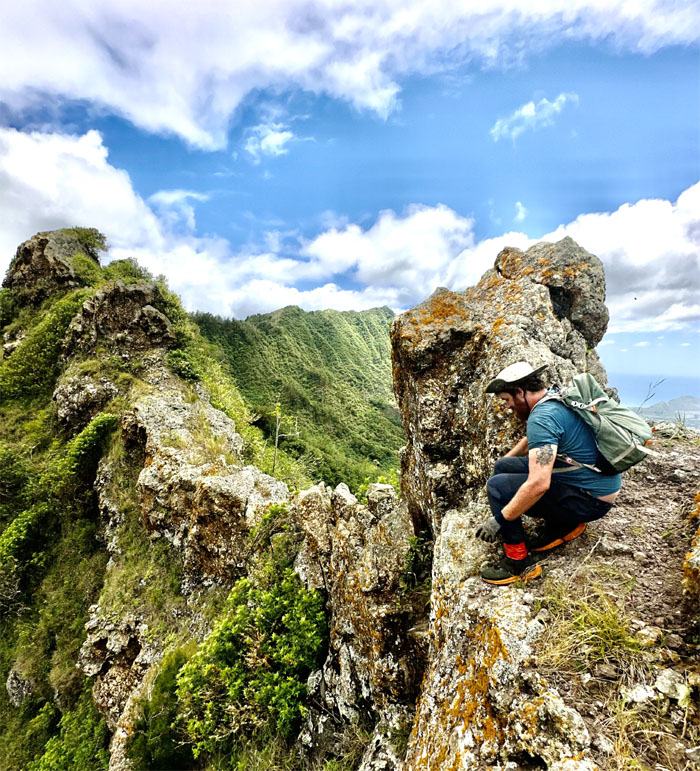
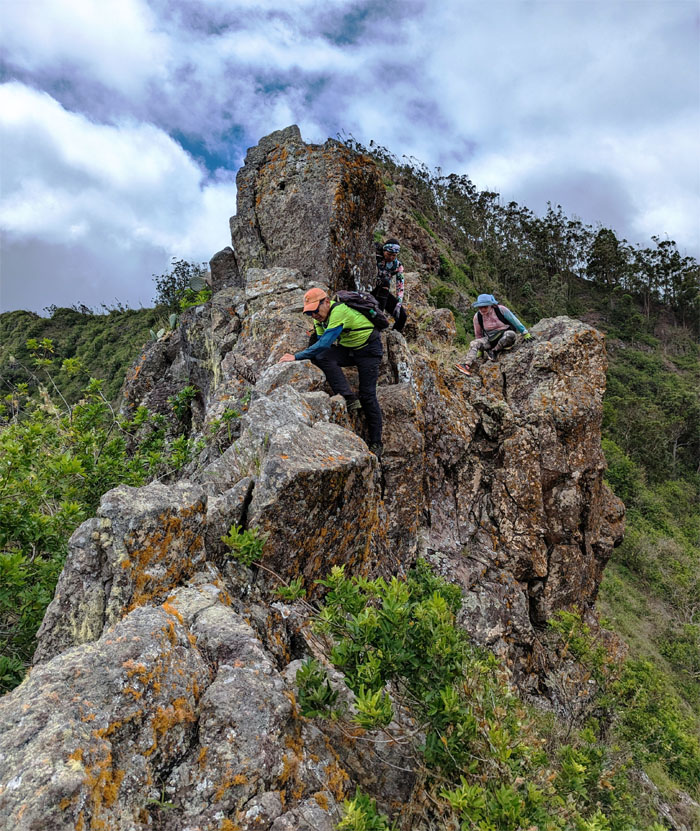
Going up the smaller of the rock formations and the one that closely resembles its name.
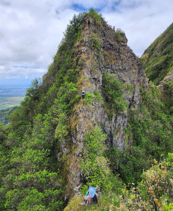
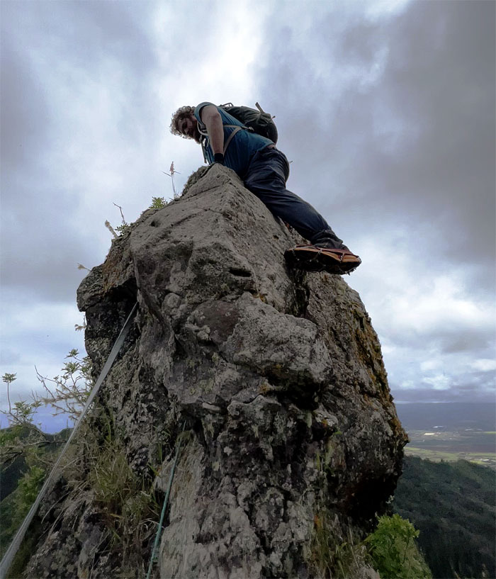
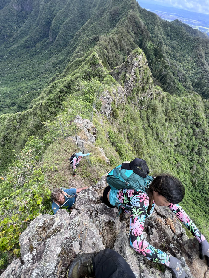
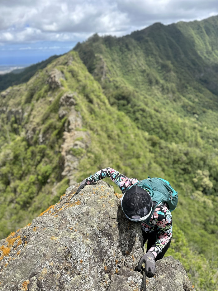
Climbing up the rock formation whose bark is worse than its bite.
Thomas would agree.
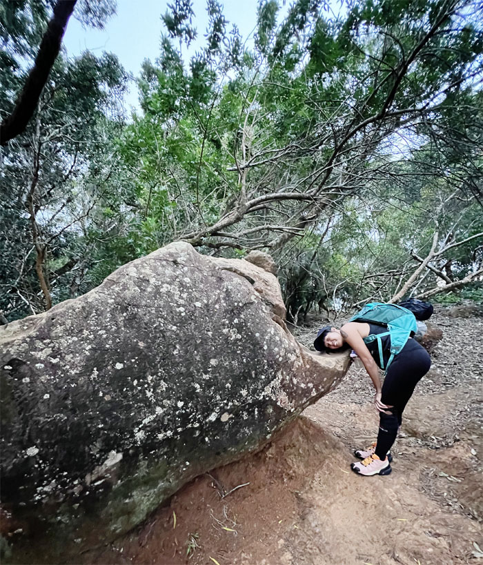
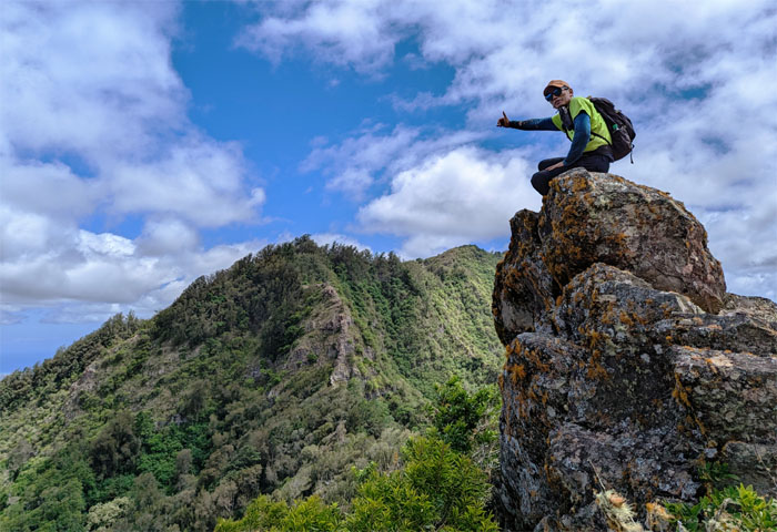
Can you see the gorilla for the mountains? I’m not talking about Aileen.
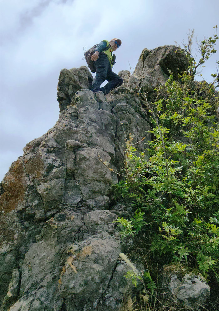
Swinging over the backside.
It helps to have long legs.
Scooting our way down.
You put your left foot out. You put your left foot in. And you climb it down. You do the Hokey Pokey. And you turn yourself around. That’s what it’s all about.
CJ scrambling out of the simian shaped rocks.
Thomas caught between a hard rock and a wobbly fence.
Somebody sprained their ankle around here. Nothing that a little duct tape can’t fix.
We don’t need no stinking webbing.
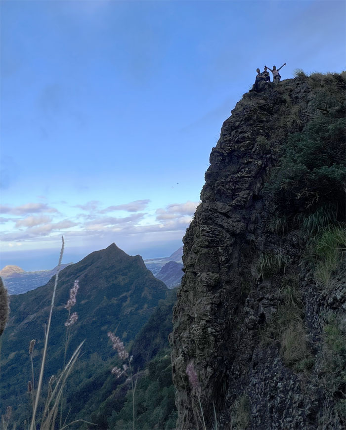
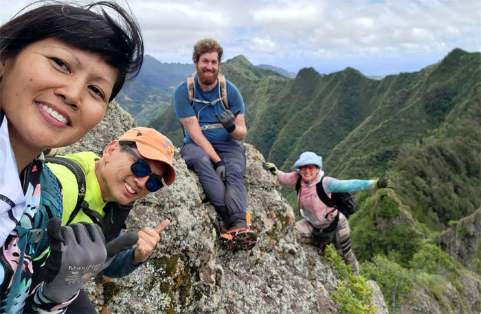
Group photo on the slanted rocks.
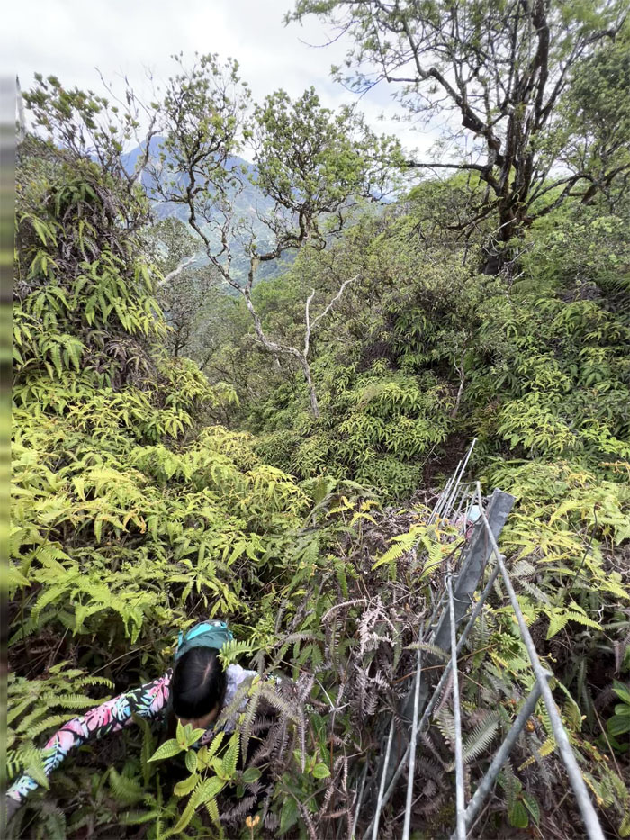
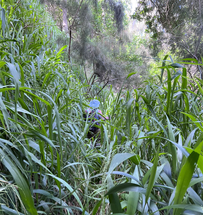
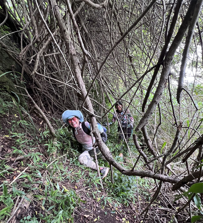
Pushing our way through the insufferable overgrowth.
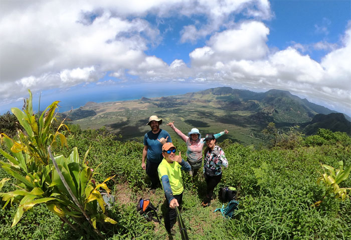
Lunch at the the 3,127′ grassy area that is the third highest peak on the island.
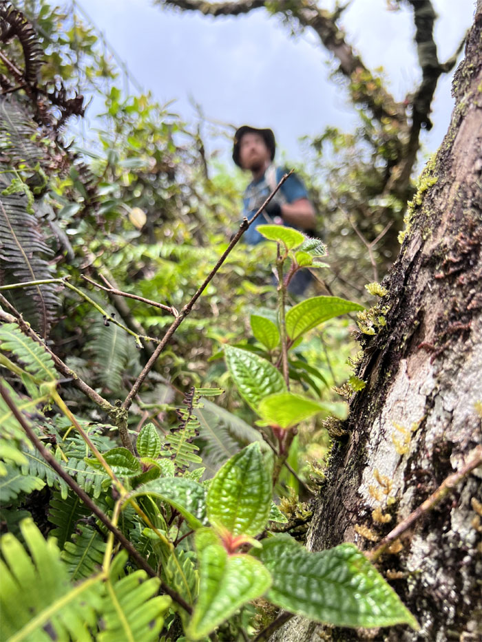
Climbing our way down through the insufferable overgrowth. Deja vu.
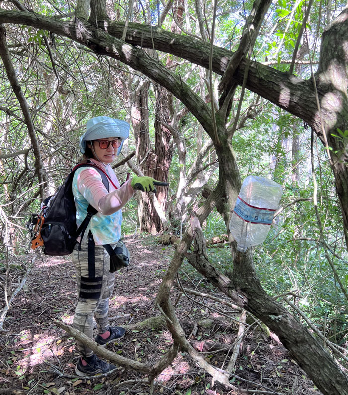
Breaking out into the relatively open ridge line that was dotted with barrels and jugs of non-potable water.
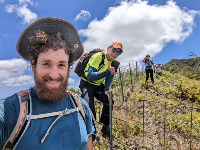
All smiles as we left the fence behind us.
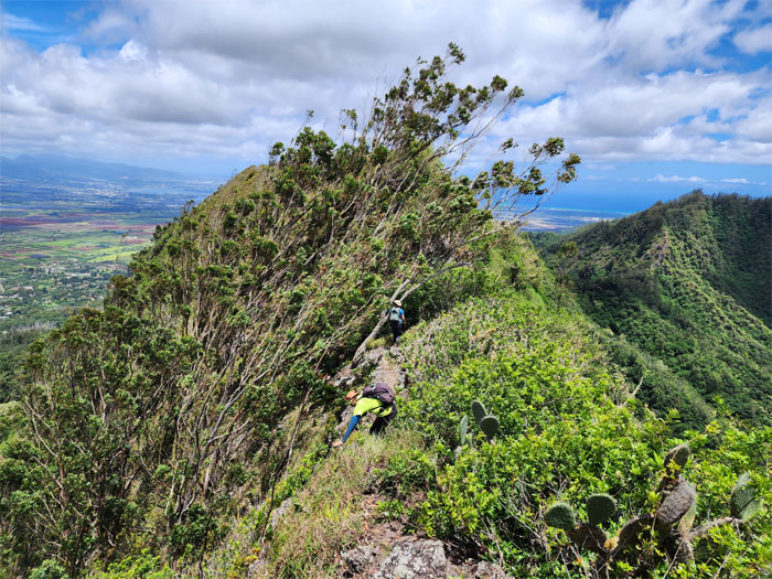
Traversing the ridge line that is dominated by these wind swept trees.
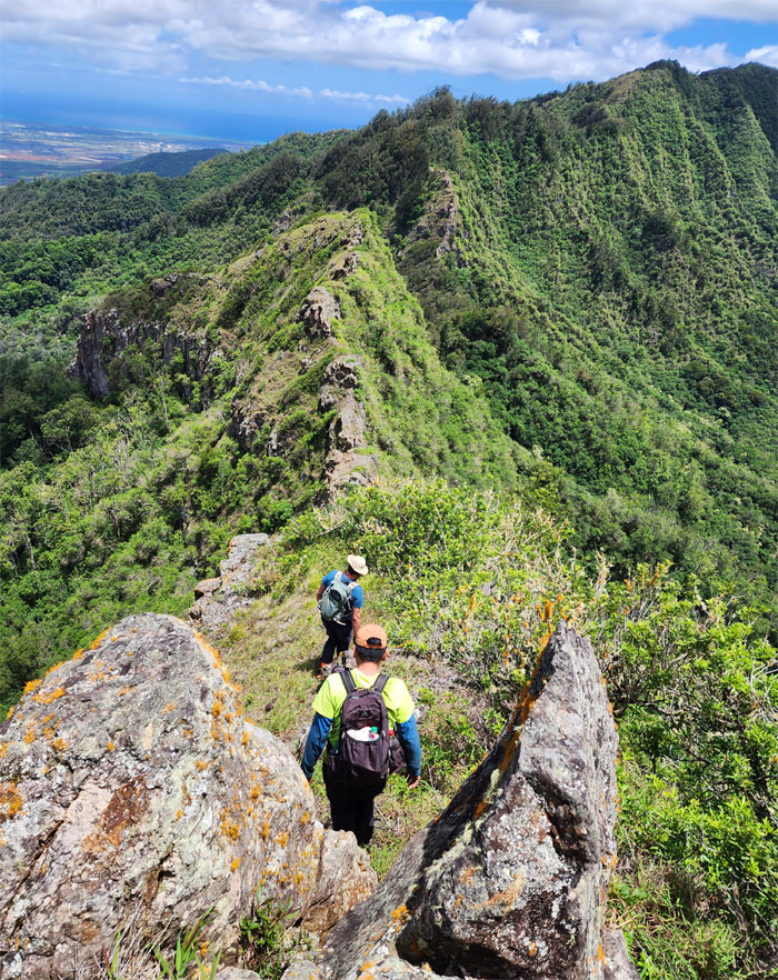
Passing through the split rocks.
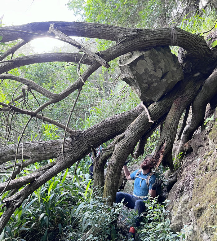
Checking out my built-in ventilation.
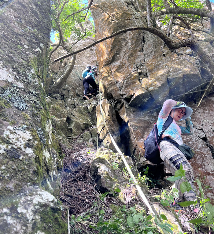
Just follow the rope on the way down. Easy peasy.
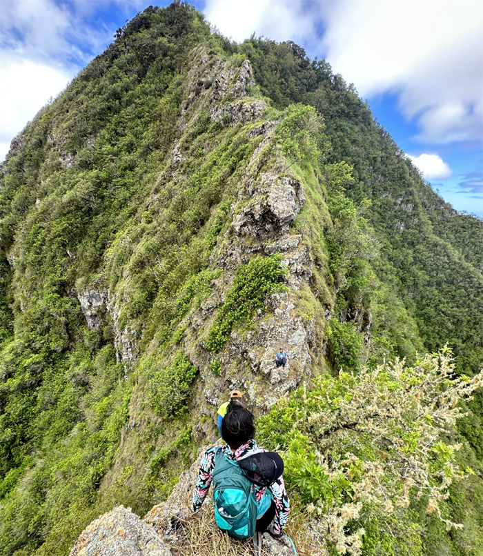
Aileen climbing her way down the rock.
Some went high …
… others went low.
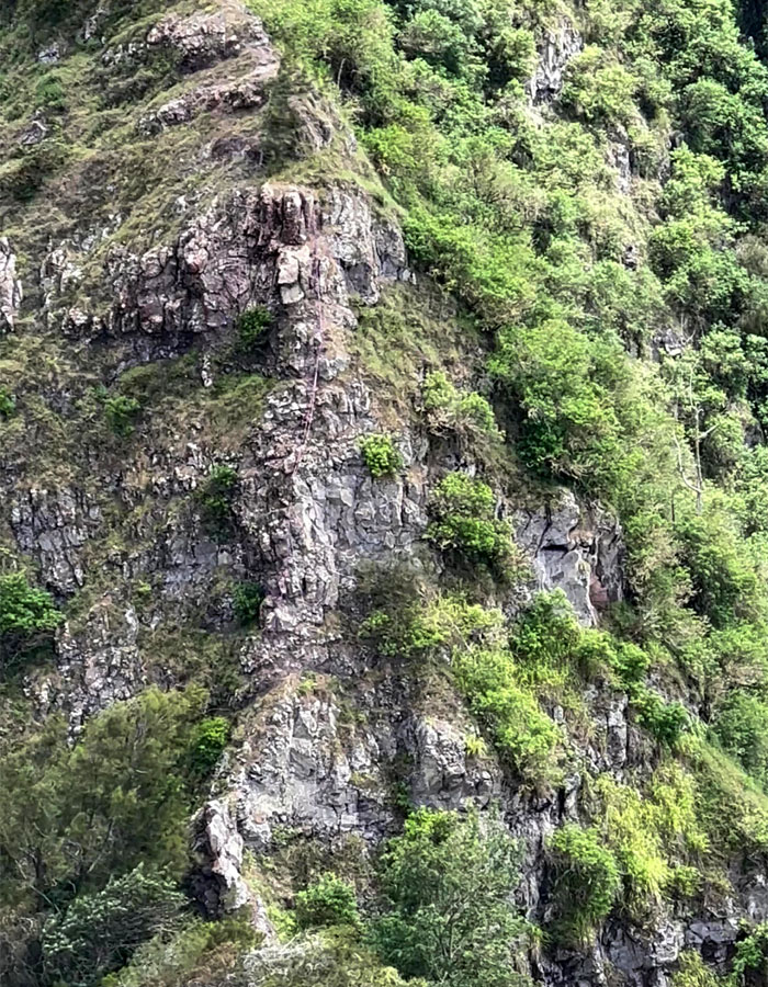
Looking over at the crumbly cliff that has been tamed with questionable webbing.
Contouring off the ridge line.
Just here for the views and the photos.
Sliding our way down through the narrow crack.
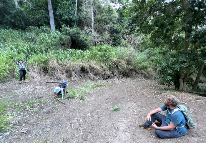
All the dots are connected. All is right in the world of hiking.
Leaving the ridge line to head down into the valley.
Missed me by that much.
We soon joined up at the junction where we had come up from the mosquito infested valley back in April.
Knock! Knock! Who’s there? Hike. Hike who?
The trail going down seemed wide open at first and then it just disappeared into head high itchy grass, rocky under footing and scattered blowdowns.
We finally emerged from the overgrowth to the jeep road that was literally two steps away from the route we had taken up to the ridge line in April.
Thanks to Doug for picking us up at the end of the road. Small world.
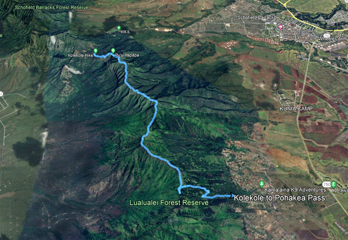
Our scenic stretch of the Waianae Mountain Range covered less than six miles with a great group. Post hike meal criteria was that the place served the daily dietary staple of the people of ancient Mesopotamia. Chili’s fit the bill.
Photos taken by Aileen Agustin, CJ Mendiola, Thomas Barrett, and yours truly. Not necessarily in order.
Note: I have been made aware that some hikers have been using my blog as a hiking guide and getting lost on the trails. Please note that this blog was made to document the hike for the crew(s) that did it. That is why some of my comments will seem to have no relevance or meaning to anybody outside of the crew(s) that hiked that trail. My blog was never meant as a hiking guide, so please do not treat it as such. If you find inspiration and entertainment from these hikes, that is more than enough. If you plan on replicating these hikes, do so in the knowledge that you should do your own research accordingly as trail conditions, access, legalities and so forth are constantly in flux. What was current today is most likely yesterdays news. Please be prepared to accept any risks and responsibilities on your own as you should know your own limitations, experience and abilities before you even set foot on a trail, as even the “simplest” or “easiest” of trails can present potential pitfalls for even the most “experienced” hikers. One should also always let somebody know of your hiking plans in case something doesn’t go as planned, better safe than sorry.

{ 0 comments… add one now }