In search of more training grounds to hike, we met up on the congested street in East Oahu. Keep your voice down, lest you upset the neighbors.
This trail has been called one of the finest hikes on the island by noted hiking author, Stuart Ball. Who am I to argue?
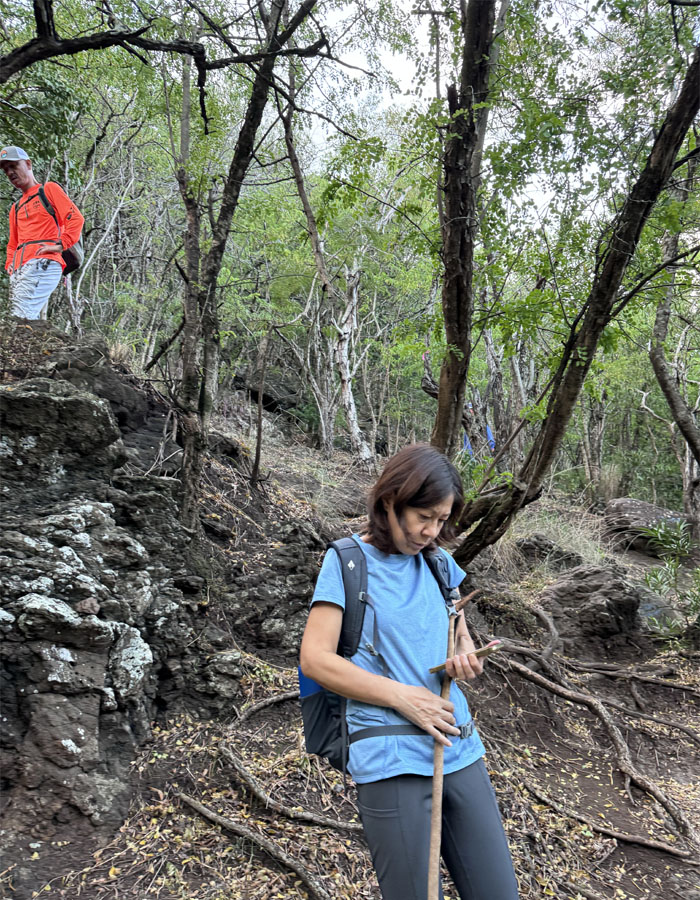
Somebody forgot their phone at the trailhead. Shades of Kobe Nunobiki Herb Gardens.
Switch backing our way up the mountain.
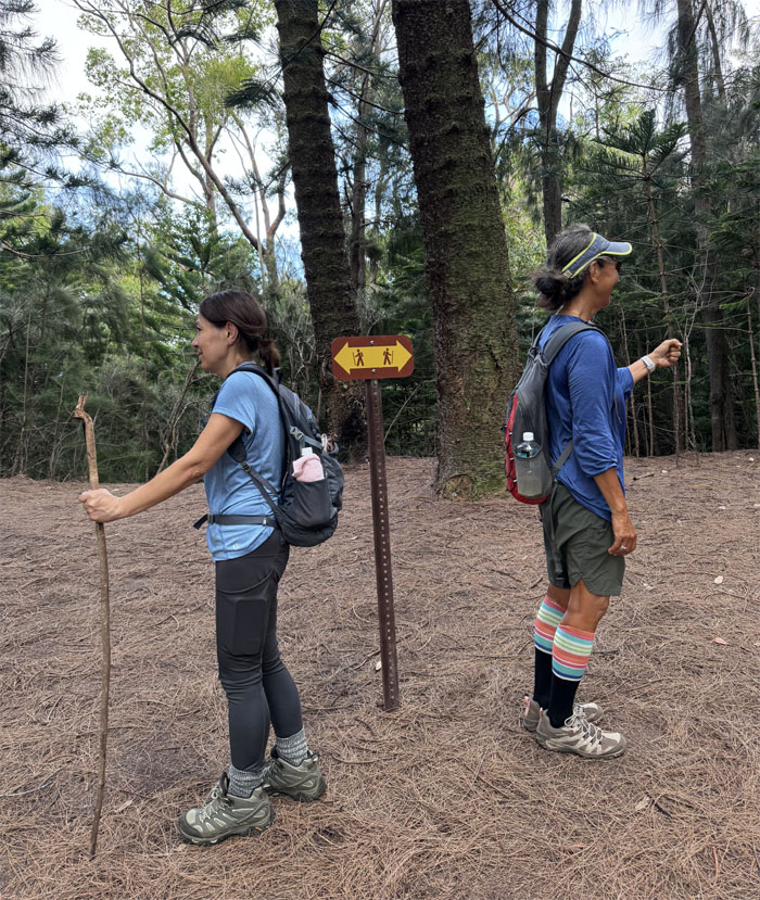
Going or coming?
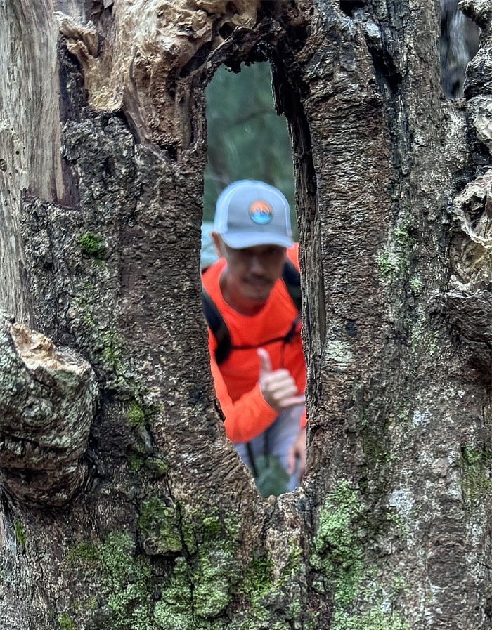
Puka in the tree stump.
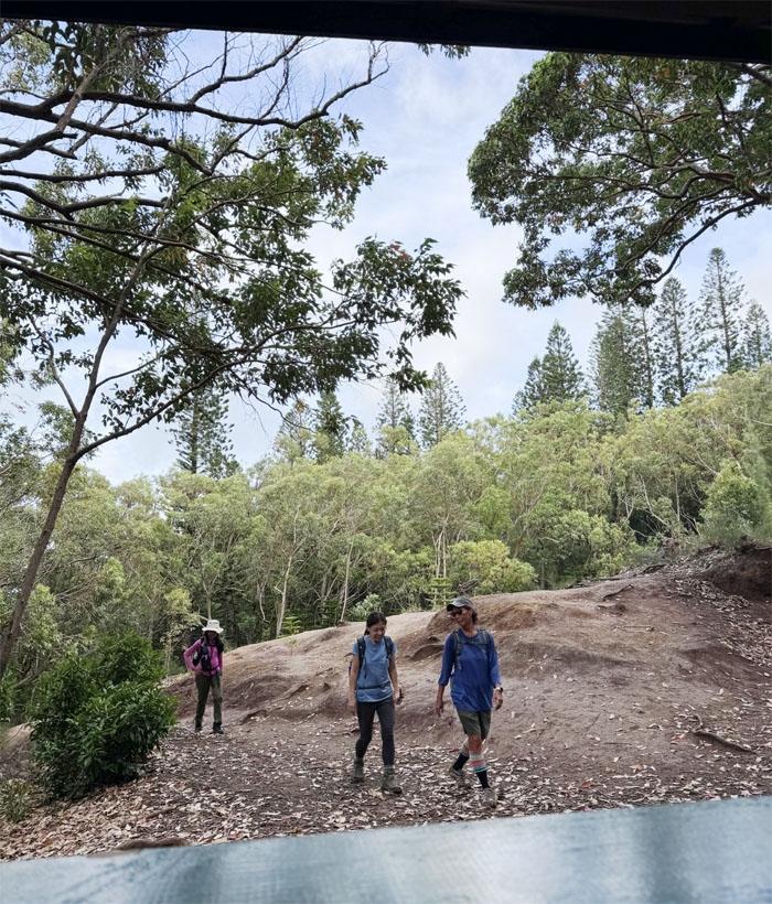
Arriving at the picnic shelter that was being renovated with fresh paint and new wood planks.
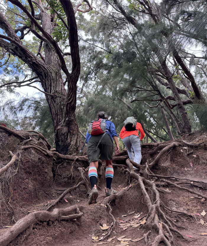
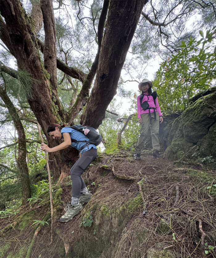
Scrambling up the rooted section of the trail.
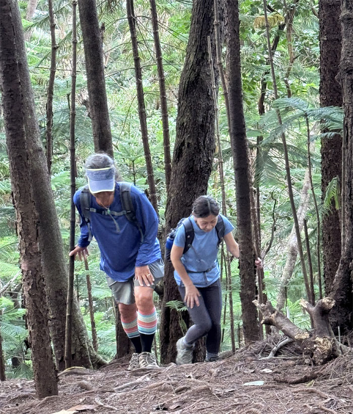
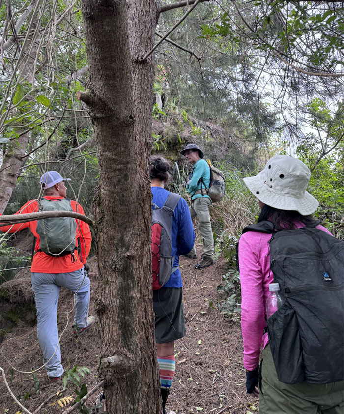
The trail took on a more direct approach as we huffed and puffed our way up the steep sections under the canopy of pine trees.
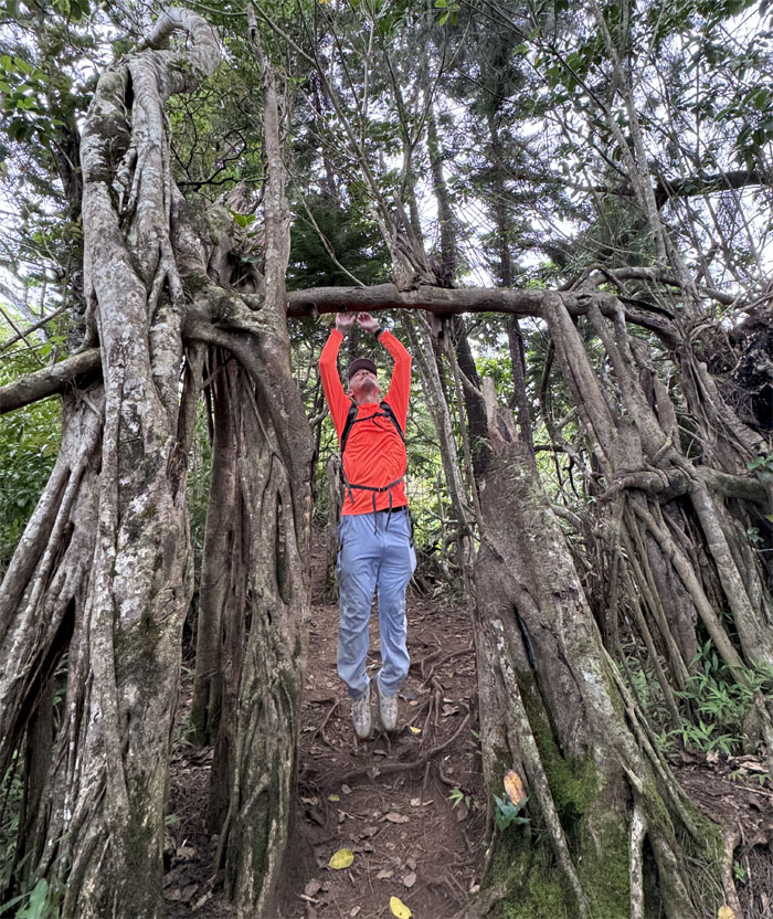
Touchup. No pullup.
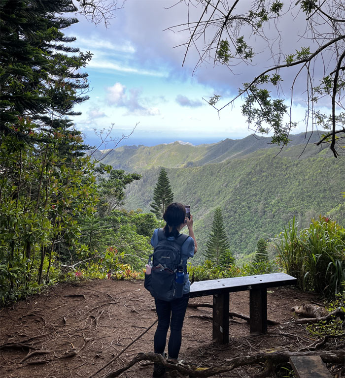
A bench with a view.
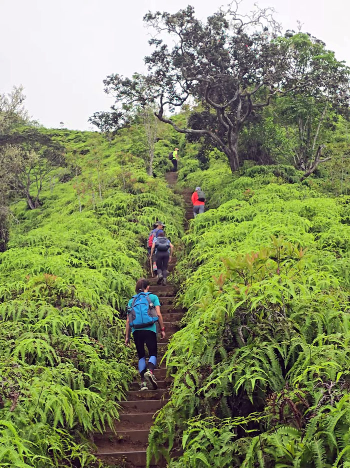
Steps, steps and then some more steps.
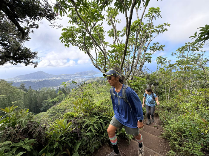
Views of Koko Crater and Koko Head in the background. Often confused for each other.
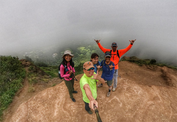
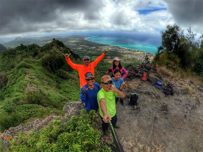
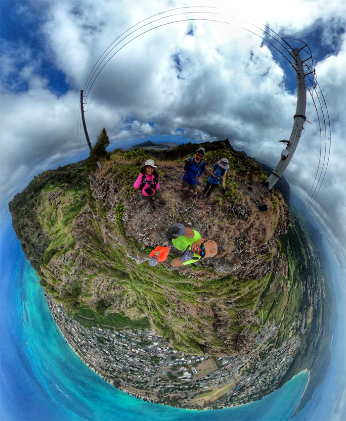
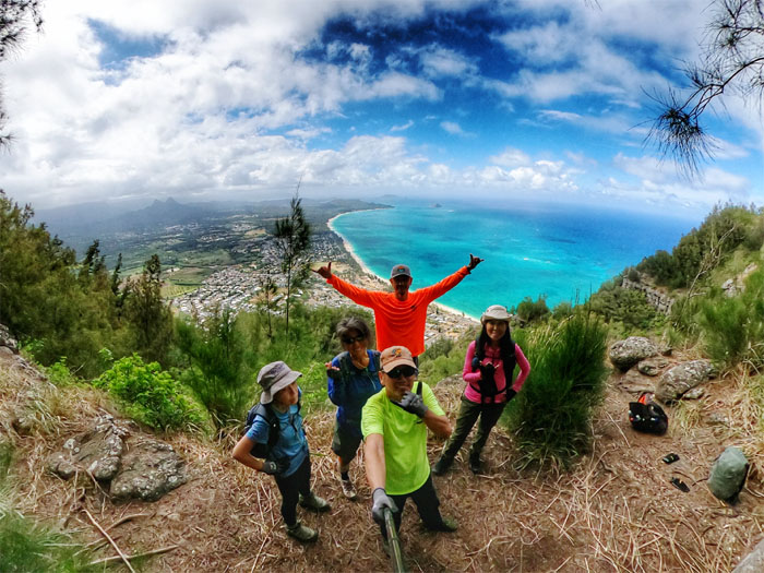
Group photo at the surprisingly empty 2,028′ summit.
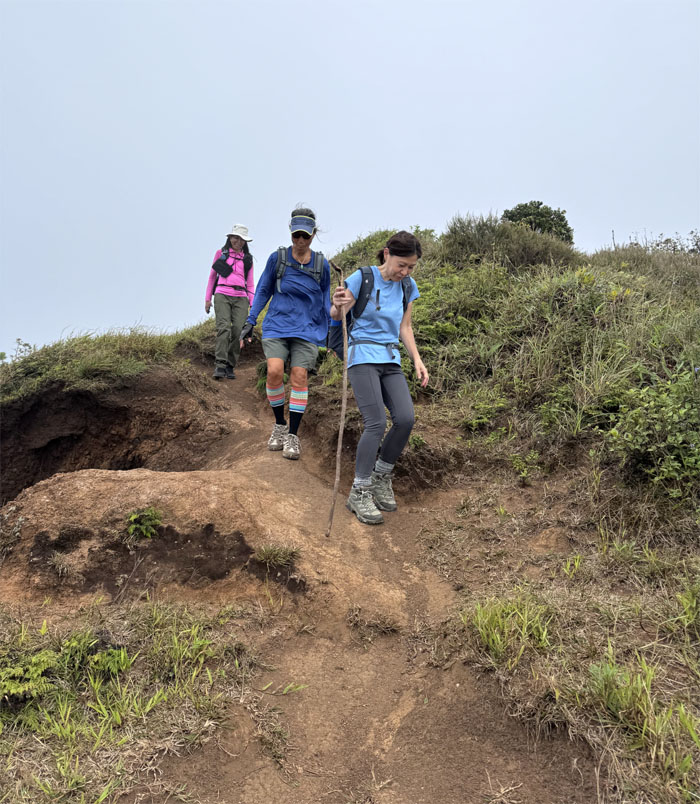
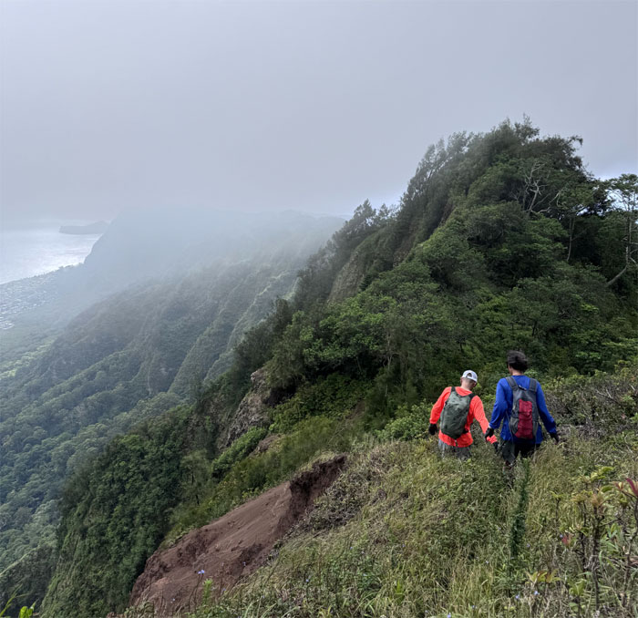
Leaving the eroded hill as we started our traverse on the spine of the Ko’olau Mountain Range.
Plunging into the forest.
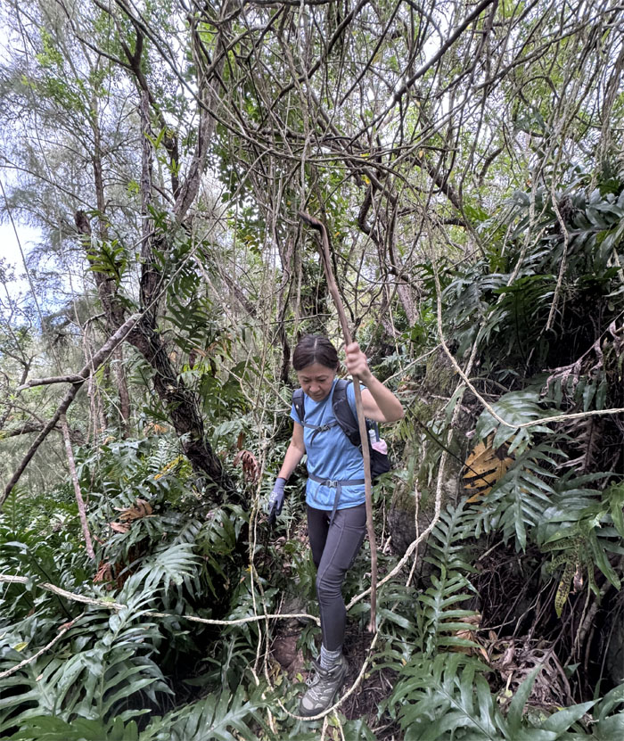
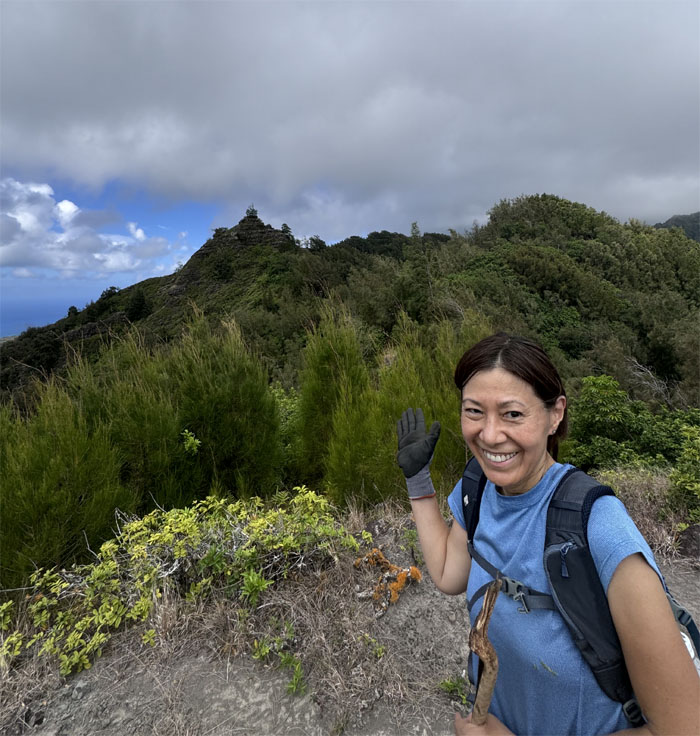
Mari using the organic hiking stick to its fullest.
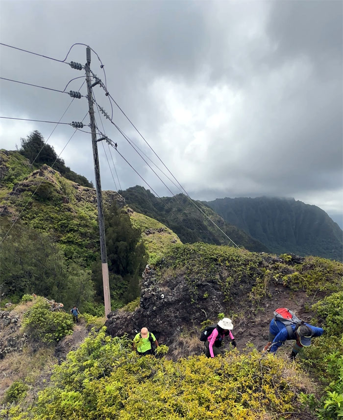
Approaching the first set of powerlines.
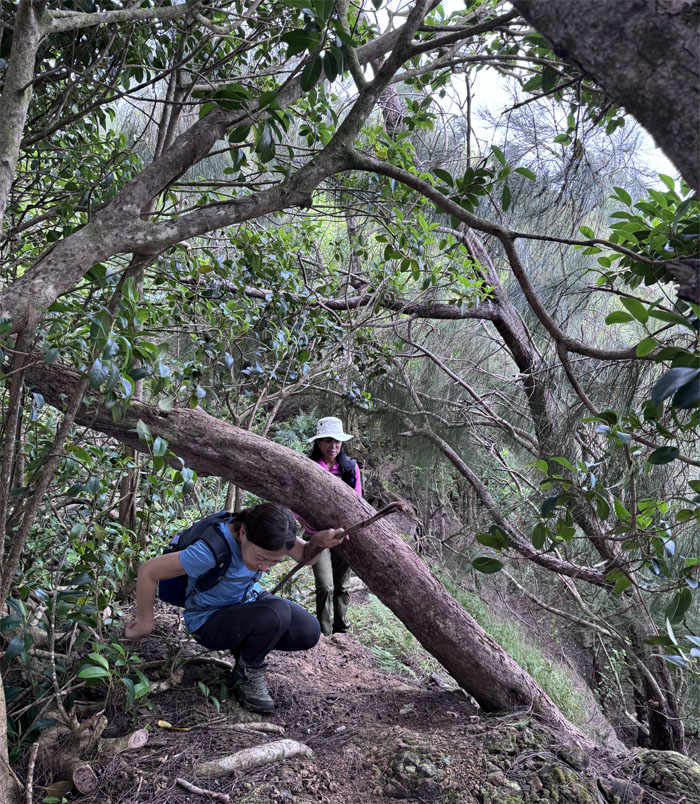
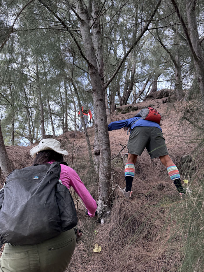
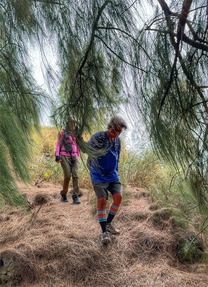
Mari doing the forward low tree limbo.
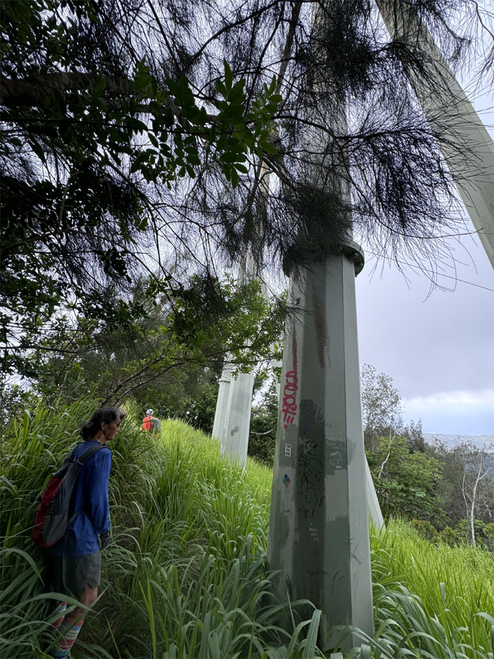
Passing through the second set of powerlines.
The spiderweb of vines were insufferable as they pulled, strangled and tripped you if not careful.
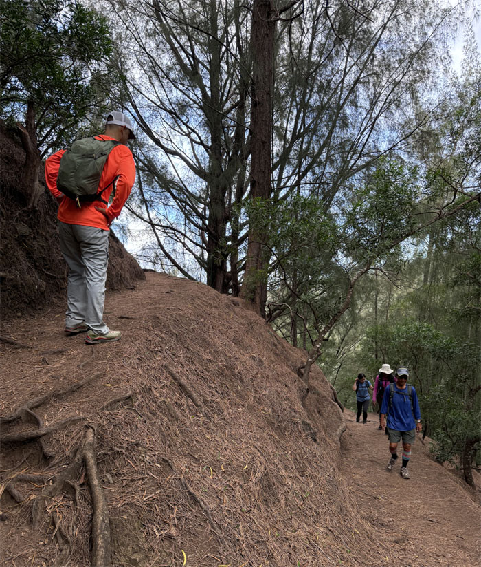
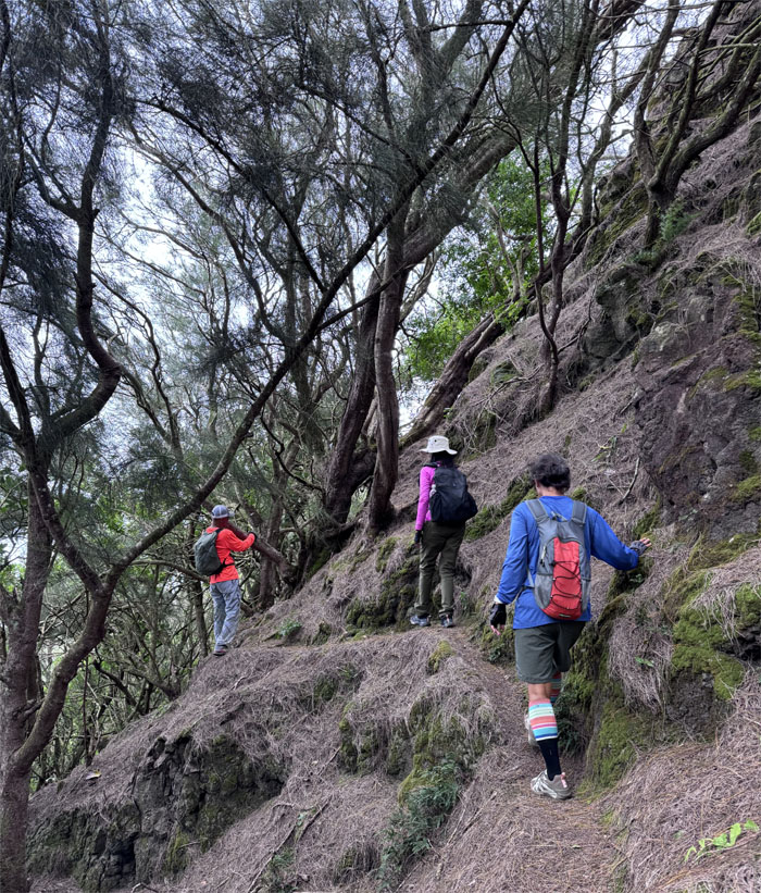
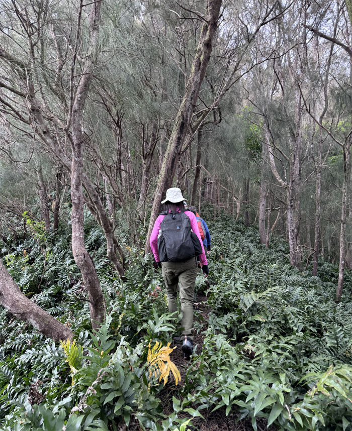
Making our way through the mountains on a carpet of pine needles.
Contouring our way around the base of Hahaione Pyramid.
That’s one small step for woman, one giant leap for hiking.
If it looks like a pyramid, sits like a pyramid, then it’s a pyramid.
We ran across two other hikers that were coming from the opposite direction.
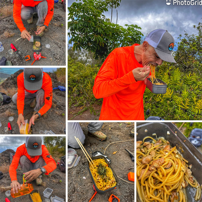
Is that Chef Boyardee cooking his signature spaghetti in the mountains?
Most of us enjoyed the cooking show, while others checked in on their social media.
Group photo at the summit that Kamehameha Schools would like you to forget.
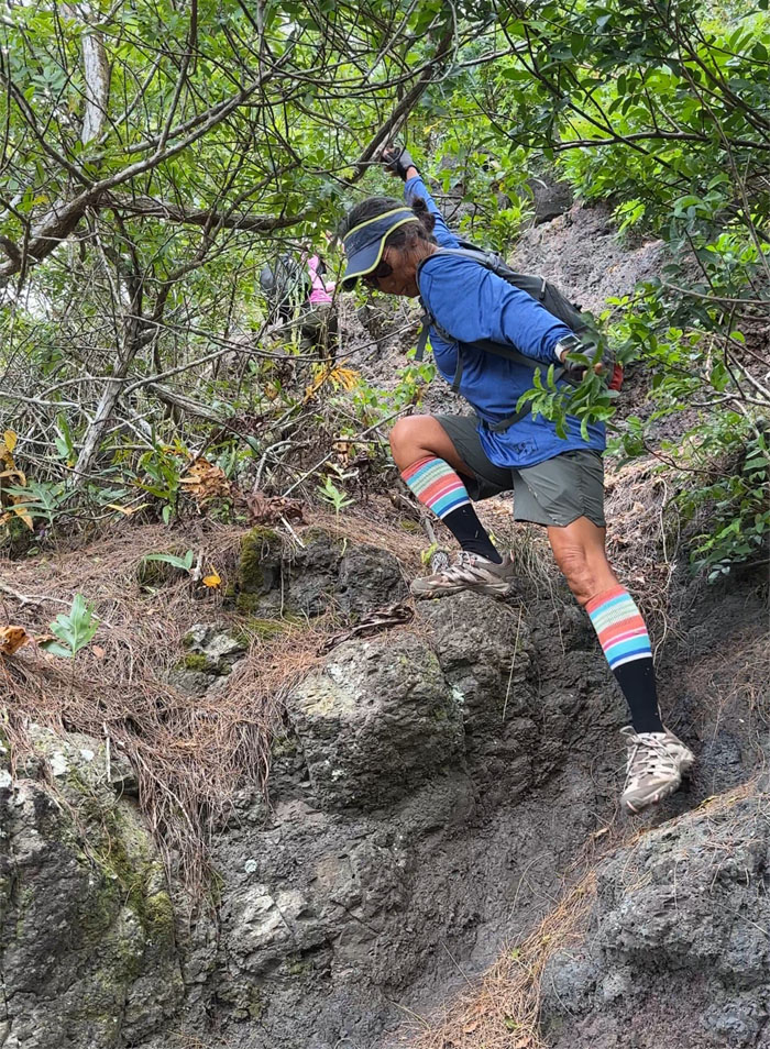
Climbing our way down from the summit.
Walking through a carpet of feathery ferns.
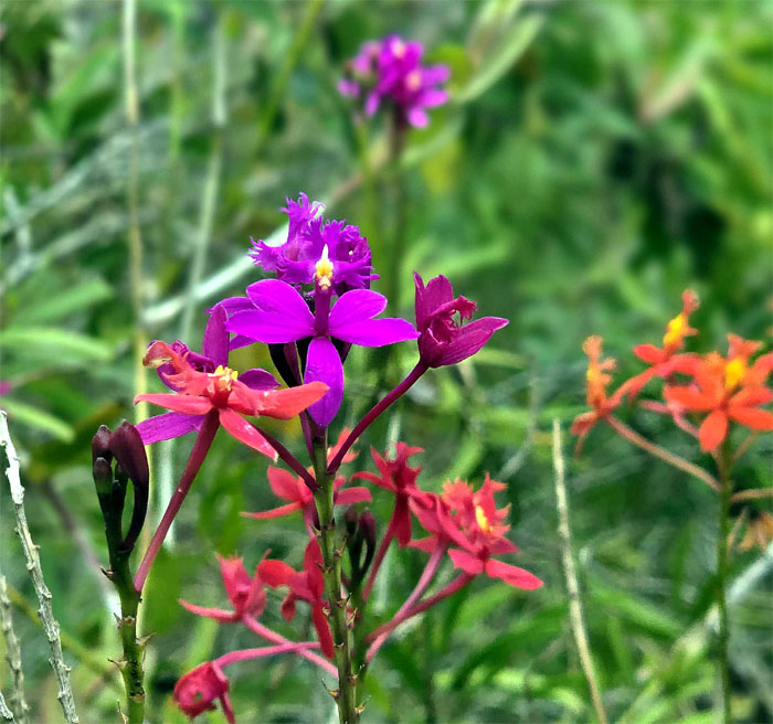
Clash of vivid colors in the mountains.
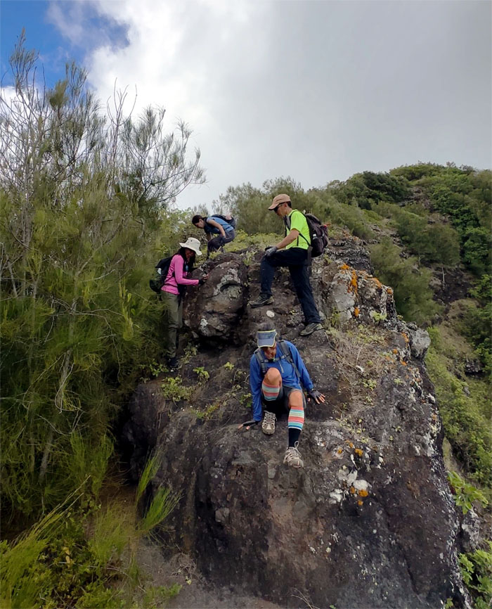
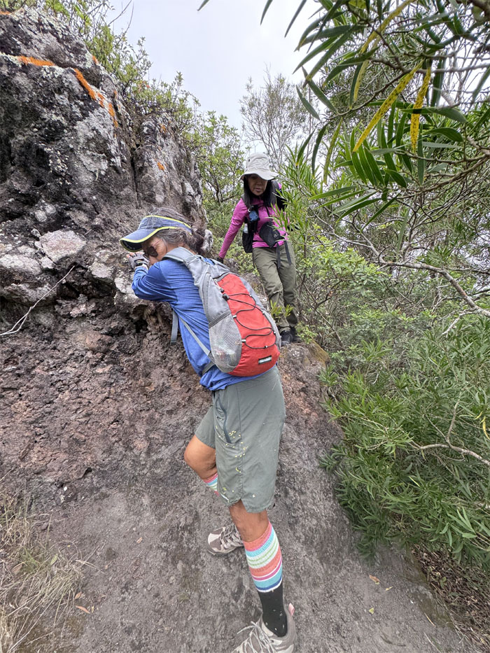
Seriously? We have to climb down this cliff on a printer cable?
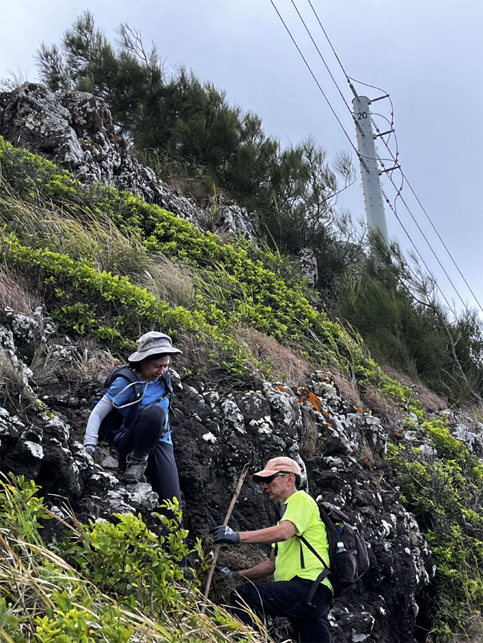
Deborah and Aida making their way down to the base of the cliff.
Aida with Dorito’s Tower in the distance.
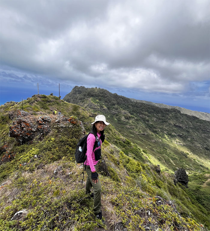
Traversing our way through the exposed and rocky section of the trail.
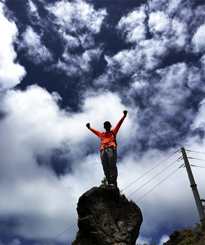
Where there’s a rock, there is always somebody that will climb on top.
Standing on the summit whose trail was named after Tom McGuire and Tom Cadle who rediscovered the old Hawaiian trail.
Take less pictures and more spotting.
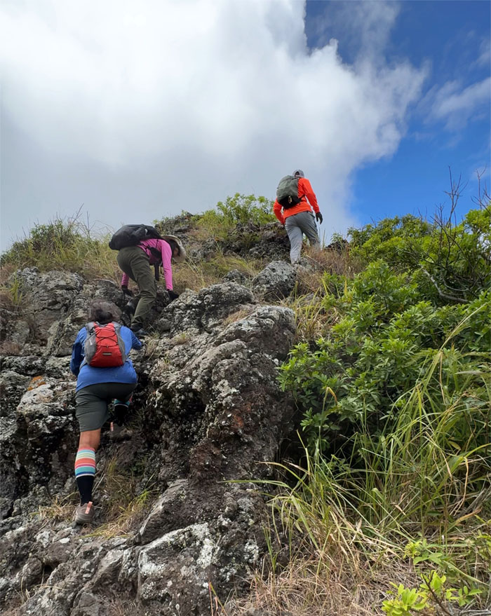
Climbing up rocks after rocks.
Scrambling our way up the ever shifting ground of pine needles. One step forward, two steps back.
No smile for the summit.
Passing through another stand of pine trees.
Descending our way down the trail as we approached the last climb of the day.
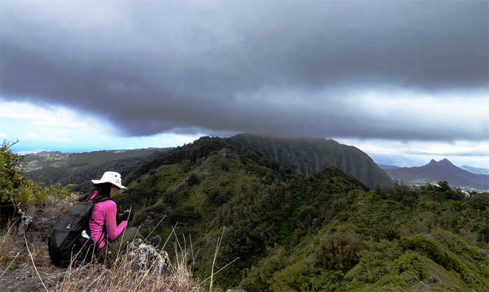
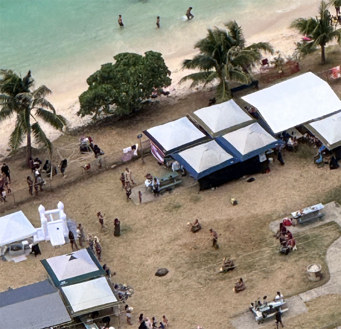
Watching the fire dancers from the nosebleed section.
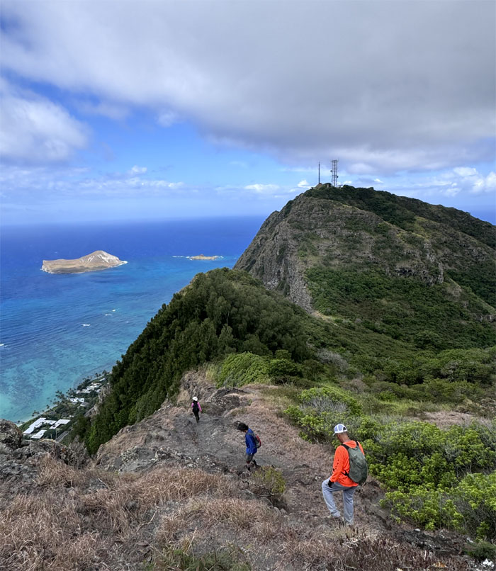
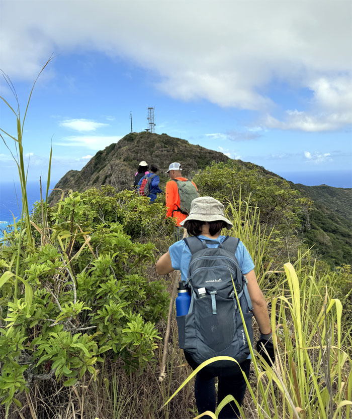
The communications tower looked so deceptively close as we approached it. Appearances can be deceiving.
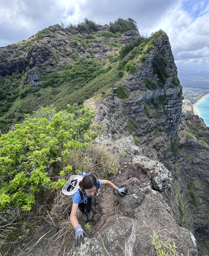
Mari climbing her way out of the saddle.
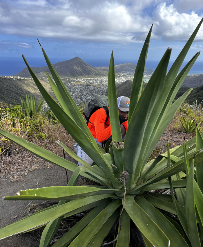
That plant is made for drinking and not for smoking.
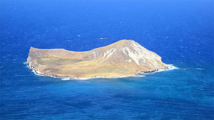
The direct sun was reflecting off the uninhabited island that is now home to a protected bird sanctuary.
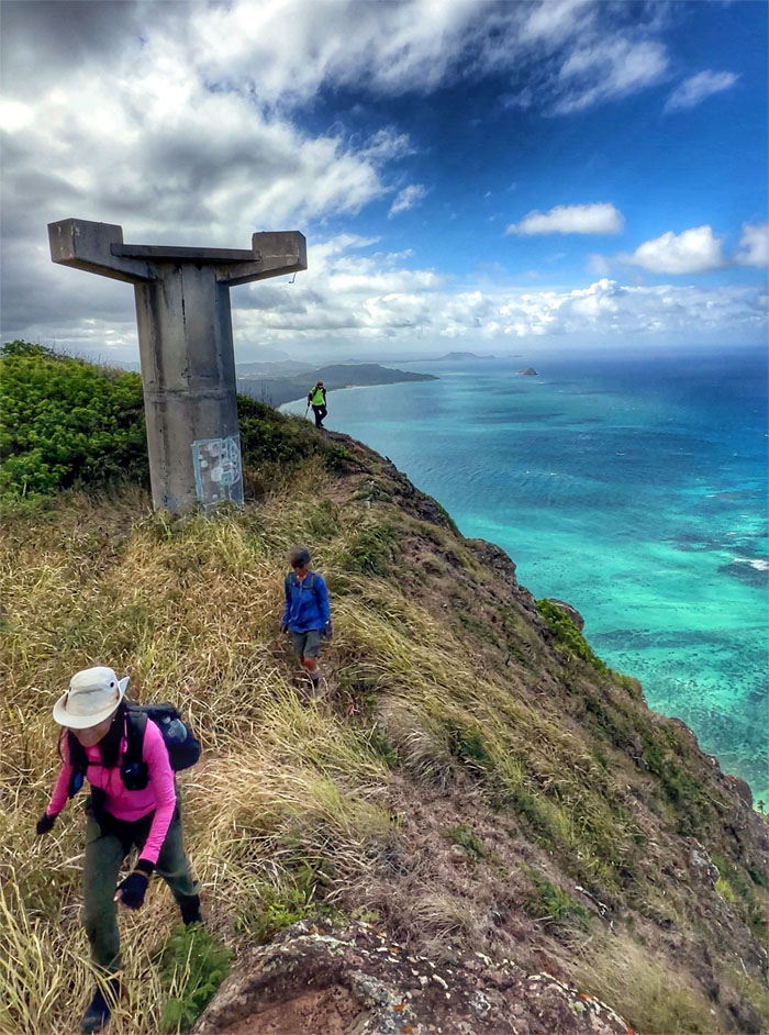
Contouring our way around the abandoned radar towers that used to control the Nike Missiles Sites down at Bellows.
The group was glad they were back on solid ground. Some more so than others.
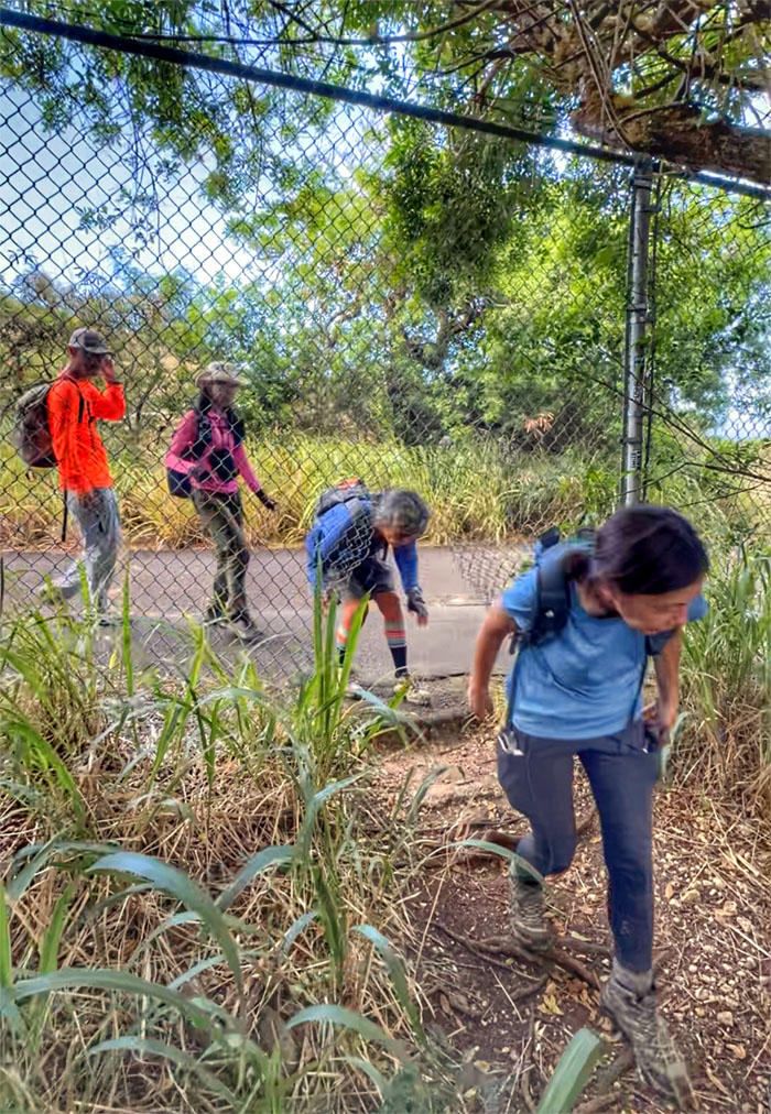
Where there’s a hole, there’s a way.
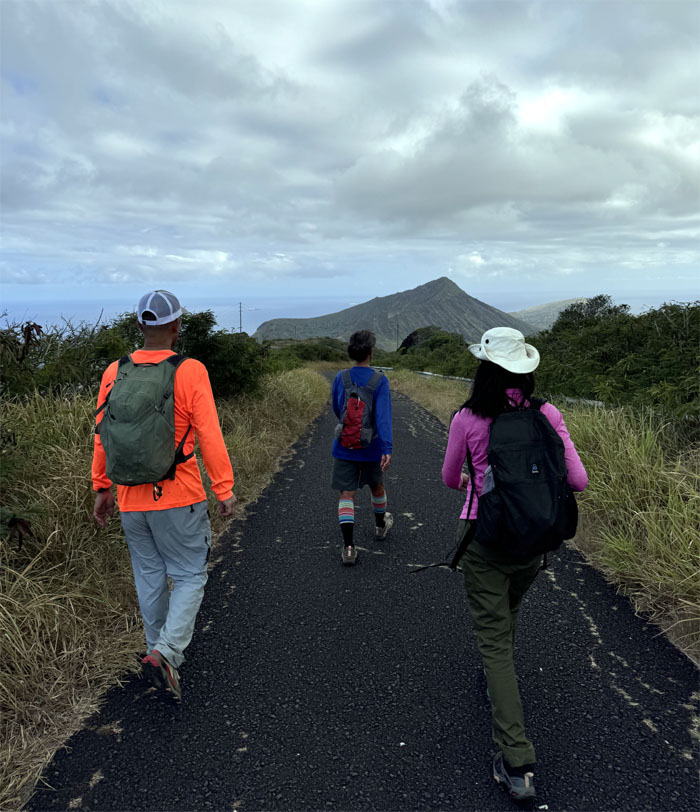
Walking down the road that was made easier since Camp Winner was in session. No gate to contour or hurdle.
Our “training” hike covered a little over seven miles with good company. Good job to Mari for finishing another chunk of the KST. Post hike meal at Mama Pho. Pho Time was out of business.
Photos taken by Aida Gordon, Akira Suzuki, Deborah Tom, Mari Saito and yours truly. Not necessarily in order.
Note: I have been made aware that some hikers have been using my blog as a hiking guide and getting lost on the trails. Please note that this blog was made to document the hike for the crew(s) that did it. That is why some of my comments will seem to have no relevance or meaning to anybody outside of the crew(s) that hiked that trail. My blog was never meant as a hiking guide, so please do not treat it as such. If you find inspiration and entertainment from these hikes, that is more than enough. If you plan on replicating these hikes, do so in the knowledge that you should do your own research accordingly as trail conditions, access, legalities and so forth are constantly in flux. What was current today is most likely yesterdays news. Please be prepared to accept any risks and responsibilities on your own as you should know your own limitations, experience and abilities before you even set foot on a trail, as even the “simplest” or “easiest” of trails can present potential pitfalls for even the most “experienced” hikers. One should also always let somebody know of your hiking plans in case something doesn’t go as planned, better safe than sorry.







{ 2 comments… read them below or add one }
Great ans humorous write-up as always (for this who know the private jokes). Congratulations to Mari-san! She is awesome!
Aloha Aida,
Thanks. Yep, she is slowly coming along. No saddles tho. lol.
Mahalo