
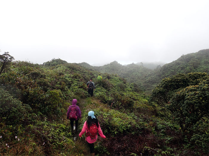
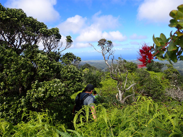
Love was in the air. Oh wait, that’s tomorrow. Met up with Bernice, Dale, Glenn, Justin, Thessa and Troy to hike an overgrown trail. Photo by Justin Hirako.
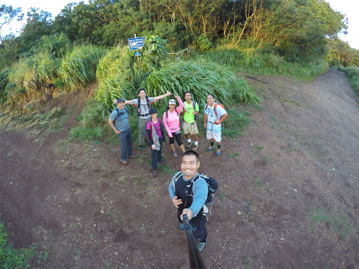
Trailhead
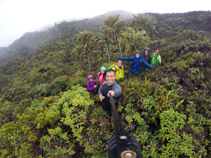
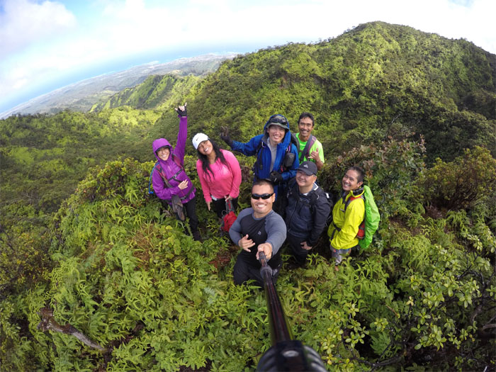
Everybody got their permits? Group photo by Justin Hirako, left to right: Glenn, myself, Bernice, Thessa, Justin, Dale and Troy.
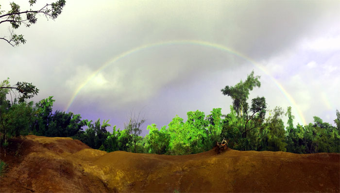
Rainbow
Of course, it had to rain on our parade. Rainbows don’t come free. Photo by Justin Hirako.
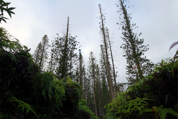
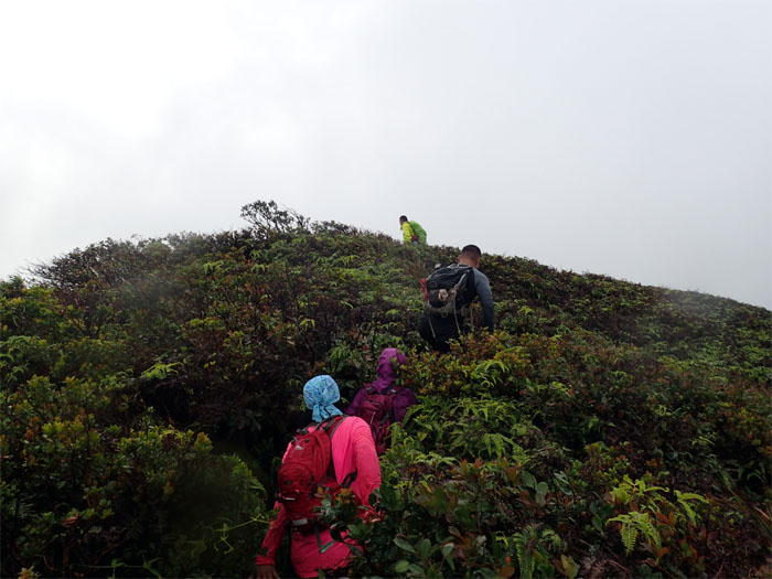
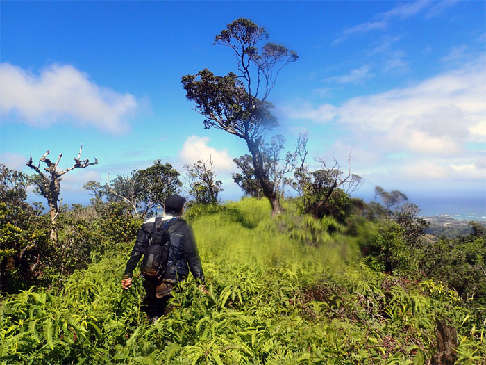
Pine Trees
Two trail runners followed me to this point and turned around. Do I really smell that bad?
Laie Falls
No visit to the waterfalls today.
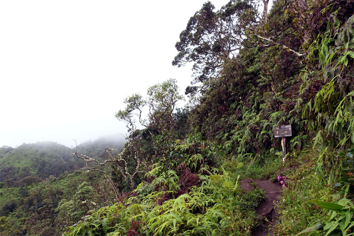
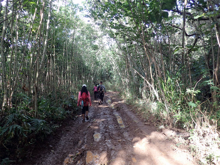
Laie Trail
I can’t see the summit for the clouds.
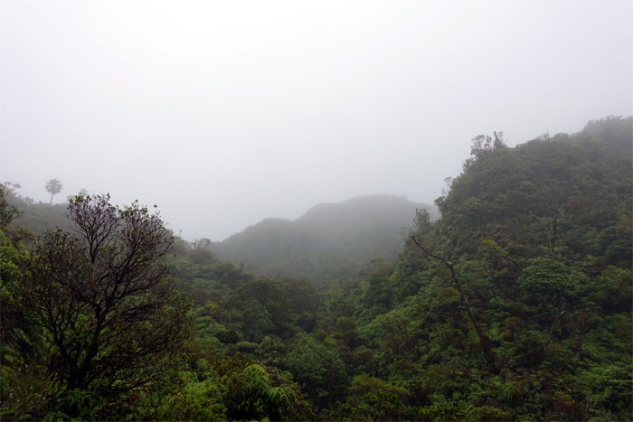
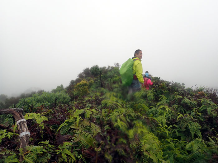
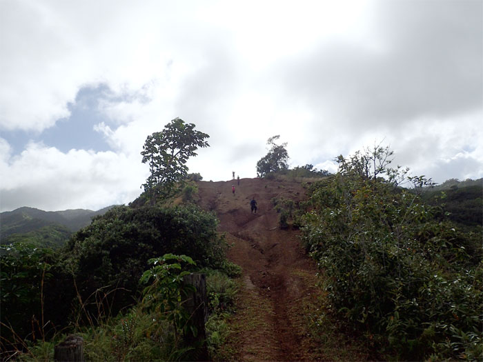
Laie Summit
It was cold, rainy and windy at the top. Just another day in the Northern Ko’olaus. Views of Kahuku and Laie were denied to us by the smothering clouds. Photo by Justin Hirako..
Kawailoa
Talk about visiting another summit was scuttled by the incoming inclement weather.
KST
We soon left the summit to begin our hike on the Ko’olau Summit Trail.
Laie Junction
Passing the trail back down to Laie.
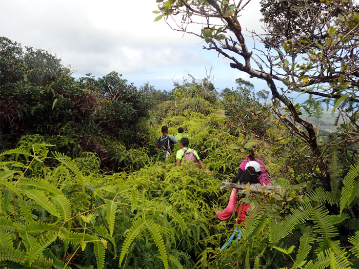
KST
Traversing the overgrown and oftentimes indistinct trail.
KST
The trail meandered along the Windward side…
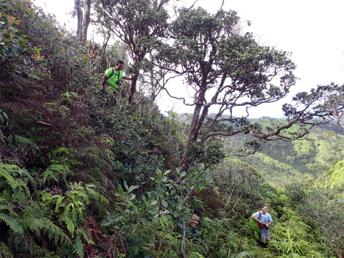
KST
…and switched back to the ridgeline.

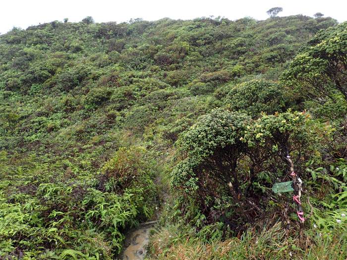
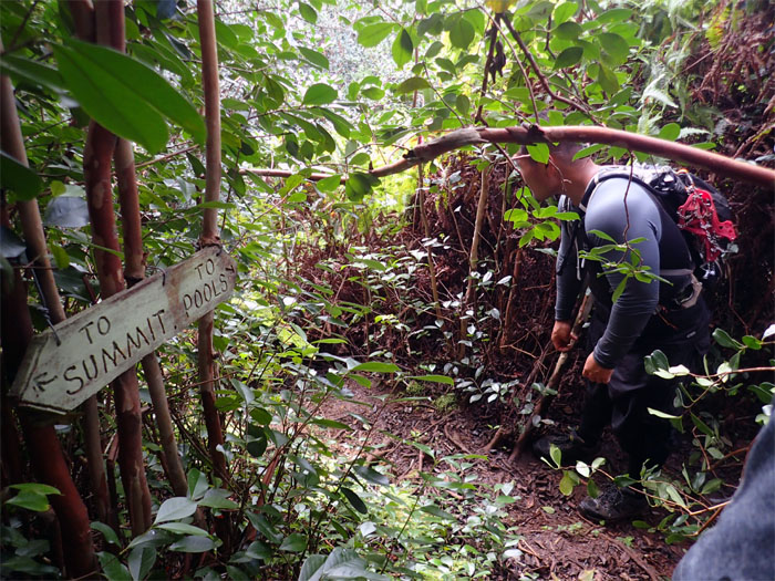
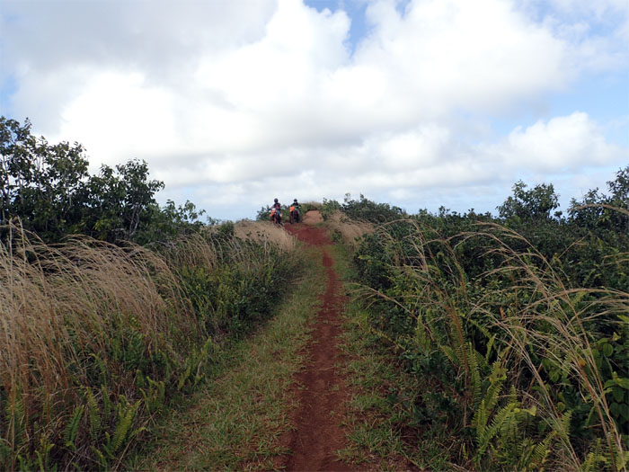
Malaekahana Junction
We almost missed the junction in the soupy conditions. Luckily, Justin spotted what was left of the Malaekahana sign. Bits and pieces.
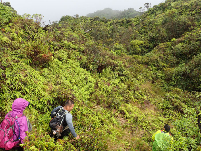
Malaekahana Trail
We left the KST and started making our way on the trail that time and hikers seemingly forgot.
Malaekahana Trail
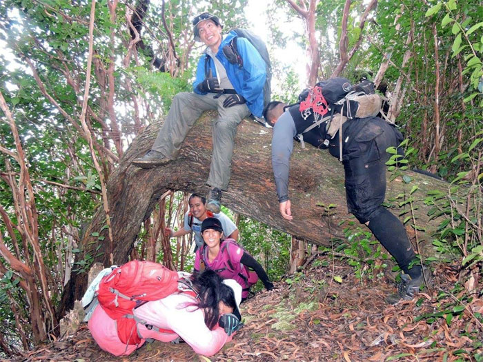
Keep the country country. No worries here. Group photo by Justin Hirako.
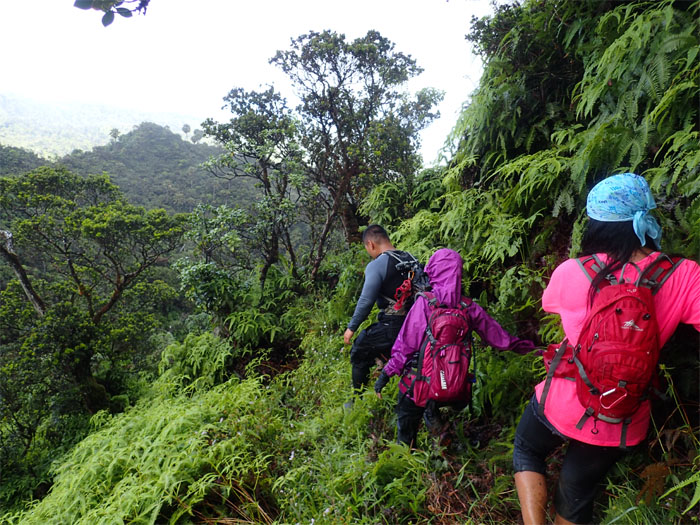
Malaekahana Trail
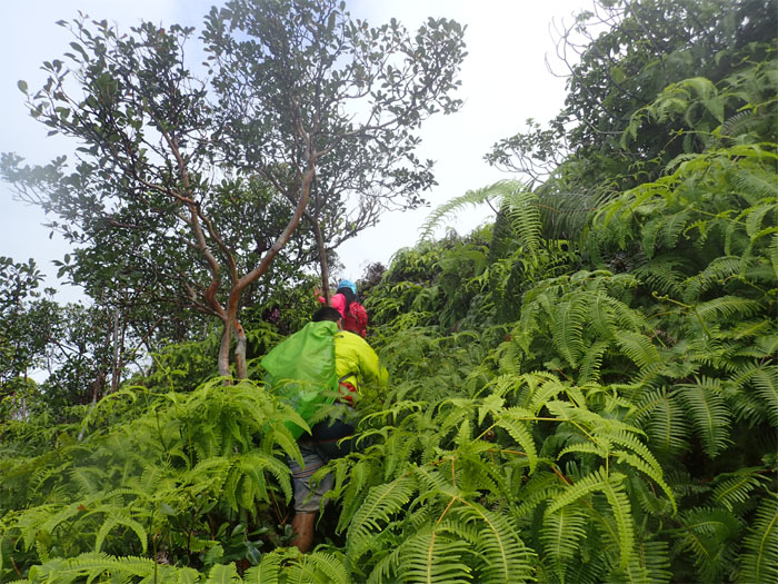
Bushwhacking uphill through uluhe ferns. Always a joy. Especially for those wearing shorts.

Malaekahana Trail
The rest of the crew coming down the trail.
Malaekahana Trail
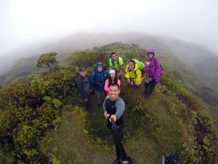
In between ridges and valleys. Group photo by Justin Hirako.

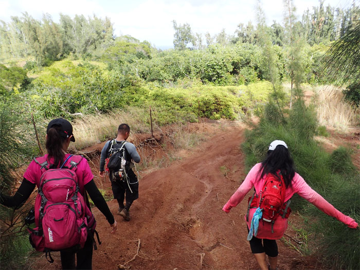
Malaekahana Trail
We’re not out of the woods or jungle yet.
Malaekahana Trail
The sun finally came out to play.
Malaekahana Trail
Wading through chest high ferns.
Malaekahana Trail
Dale taking the shortcut down.
Malaekahana Trail
We must be getting closer.
Malaekahana Trail
Did you hear that? Can somebody go down and search for my lost camera? Anybody? Crickets.
Malaekahana Trail
Some of us were more tuckered out than others from all the bushwhacking. Photo by Dale Yoshizu.
Malaekahana Trail
Wide open trail.
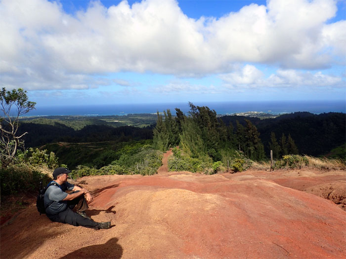
Malaekahana Trail
Running down the red dirt trail.
Malaekahana Trail
Riding down the red dirt trail.
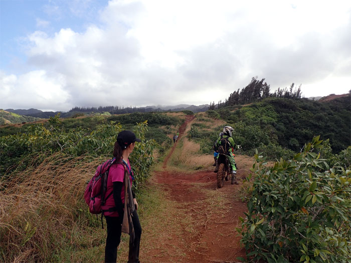
Malaekahana Trail
Bernice looking back at the bikers and hikers on the trail.
Malaekahana Trail
Skirting the fenced part of the trail. Mooving right along.
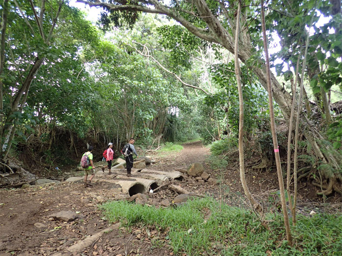
Laie Trail
Just when we though we escaped the mud.
Laie Trail
Bone dry. The shoe washing station was closed today.
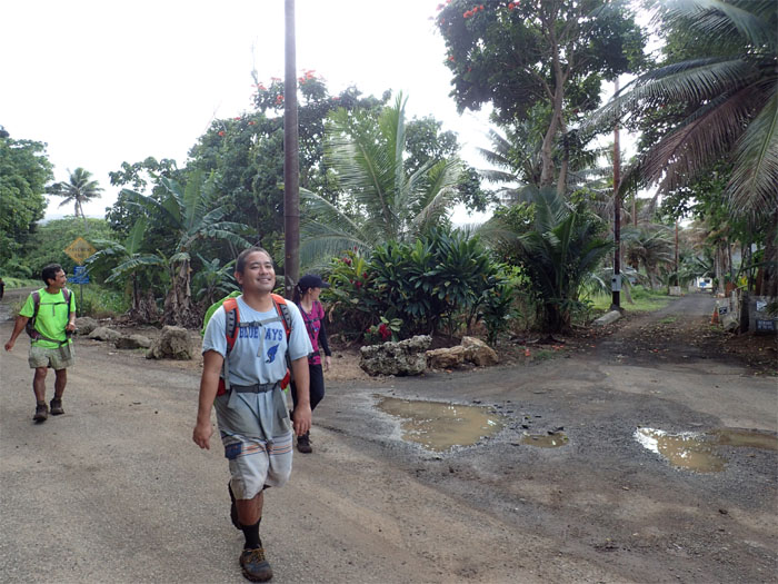
All pau
Where did all those colorful signs go? To the land of litigation most likely.
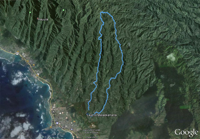
GPS Tracks
Our loop hike covered 9.64 miles. Thanks to Troy for leading us on this hike. Post hike meal at Papa Oles. Order separately or be prepared to wait a long time.
Note: I have been made aware the some hikers have been using my blog as a hiking guide and getting lost on the trails. Please note that this blog was made to document the hike for the crew(s) that did it. That is why some of my comments will seem to have no relevance or meaning to anybody outside of the crew(s) that hiked that trail. My blog was never meant as a hiking guide, so please do not treat it as such. If you find inspiration and entertainment from these hikes, that is more than enough. If you plan on replicating these hikes, do so in the knowledge that you should do your own research accordingly as trail conditions, access, legalities and so forth are constantly in flux. What was current today is most likely yesterdays news. Please be prepared to accept any risks and responsibilities on your own as you should know your own limitations, experience and abilities before you even set foot on a trail, as even the “simplest” or “easiest” of trails can present potential pitfalls for even the most “experienced” hikers.
{ 6 comments… read them below or add one }
Great hike and enjoyed the post-hike meal. Will order separately next time hahaha
Aloha Justin,
Great hike, rain and all. Yes please do order separately next time!
Mahalo
Definitely could miss the Malaekahana Junction, lucky Justin found it. You caught the entire hike in pictures, that’s pretty amazing.
Aloha Troy
Yup, always pays to have another set of eyes on the trails. Great hiking with you! Thanks again for showing us the way!
Mahalo
Kenji,
Aloha! Awesome write-up. This loop has been on my list for a while. If you were to do it again, would you go the same way, or would you reverse it? That’s sort of my only lingering question. Also, what was your time for the loop?
Thanks, and keep sharing! Love your blog.
Brandon
Aloha Brandon,
Thanks and glad you find my blog helpful. I would do the loop the same way, as Malaekahana is overgrown from the top until you get to the pools junction, going down at least gravity is on your side as you bushwhack through all that green stuff. I believe it took us about 8 hours.
Mahalo