
Rainy weather had scuttled our West side hiking plans, so we found ourselves searching for a waterfall. In Laie. Met up with Dale and Justin by the baseball field. Not a raindrop in the sky. The rest of the island was being saturated and here we were, bone dry. Go figure. Photo by Dale Yoshizu.
Trailhead
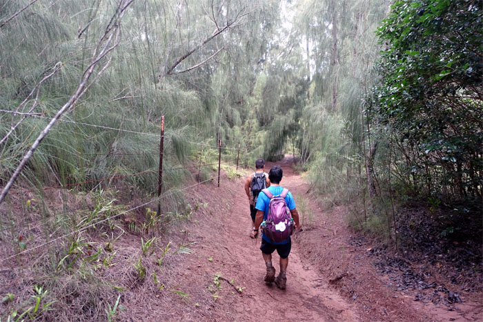
Dale and Justin walking over the bridge to the trail. Hey, we were just here last weekend!
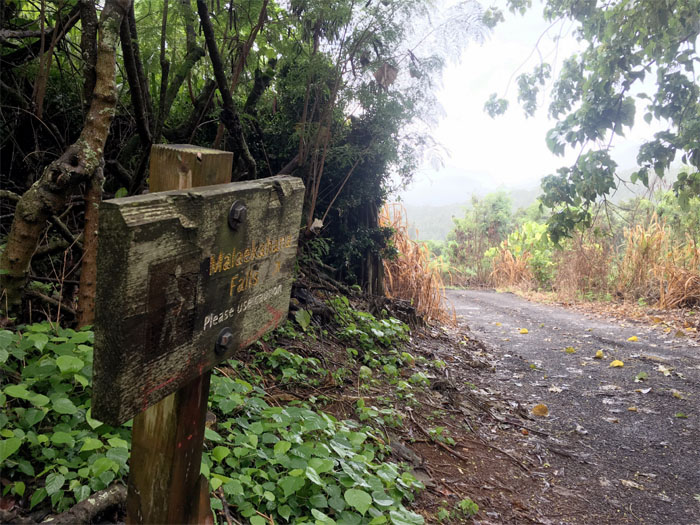
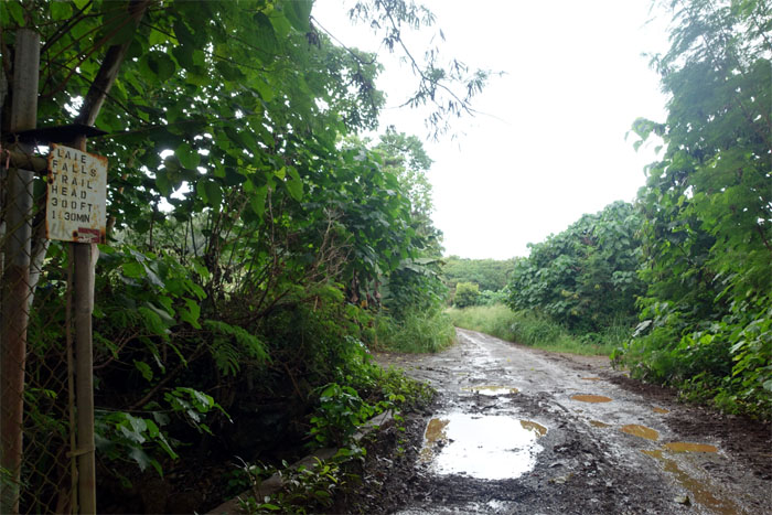
Follow the sign
We passed the Laie trail junction and continued down the jeep road until we saw the sign to Malaekahana Falls. Photo by Justin Hirako.
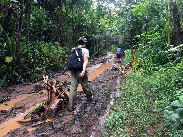
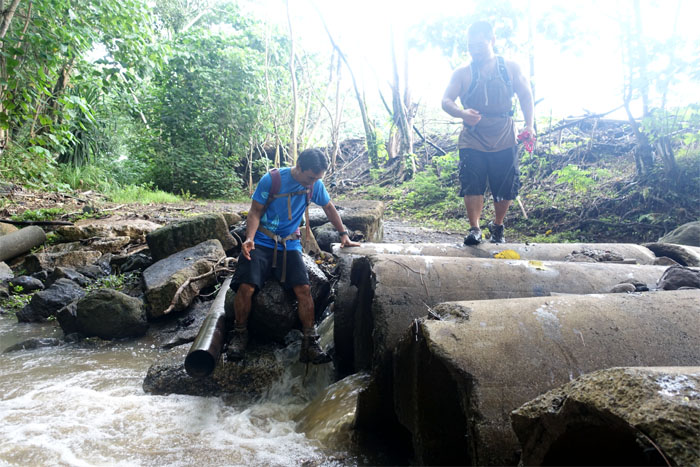
Muddy road
Time to get our feet wet and muddy. Prepping for that waterfall. Photo by Justin Hirako.
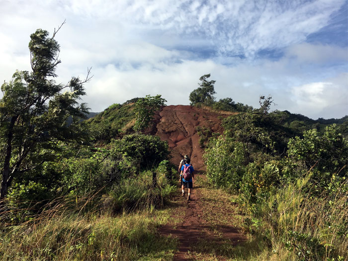
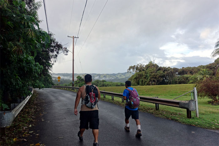
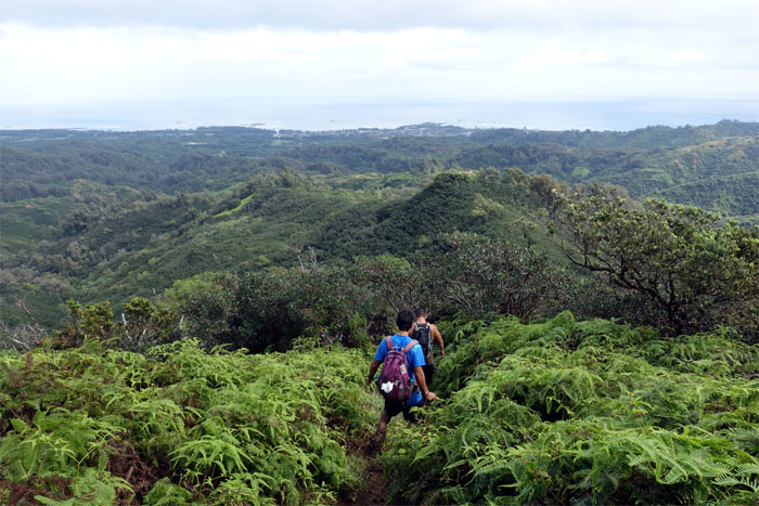
Dry road
The rolling foothills of Laie. Photo by Justin Hirako.
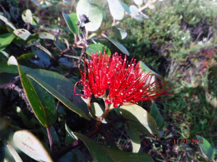
Weeping flower
Morning dew on a red lehua flower. Photo by Dale Yoshizu.
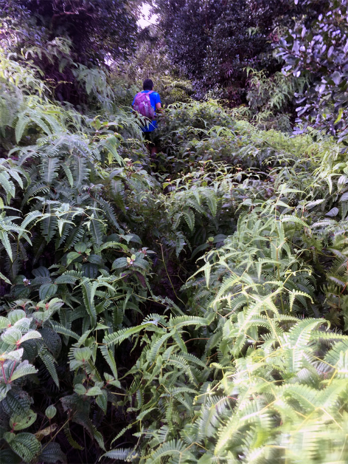
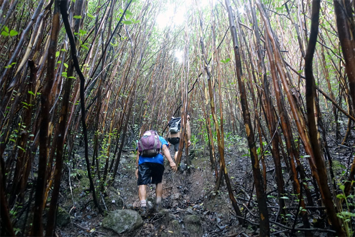
Uluhell
What would a hike in the mountains be without those pesky and scratchy uluhe ferns? Exactly. Photo by Justin Hirako.
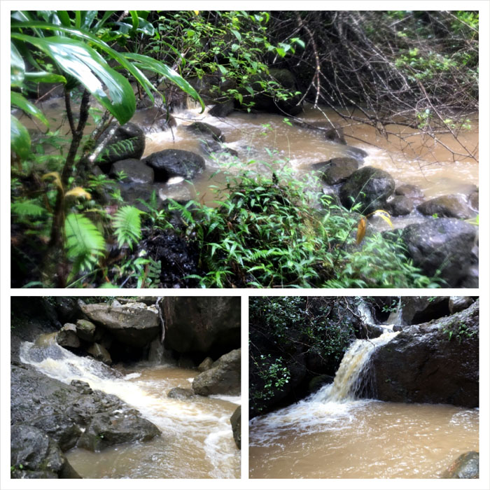
Muddy waters
We soon dropped off the ridge and made our way down to Malaekahana Stream. Photos by Justin Hirako.

Lower Malaekahana Falls
Group photo by Justin Hirako, left to right: Justin, myself and Dale.
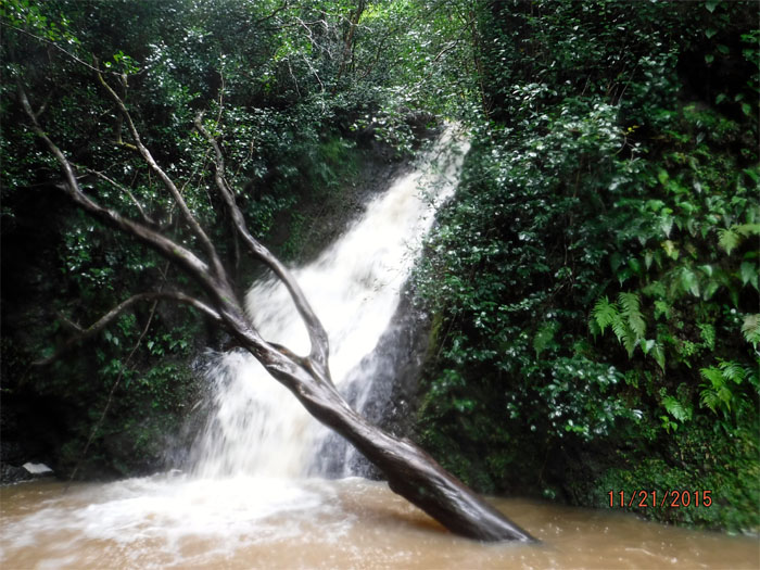
Lower Malaekahana Falls
Why did the hikers climb the slippery tree?
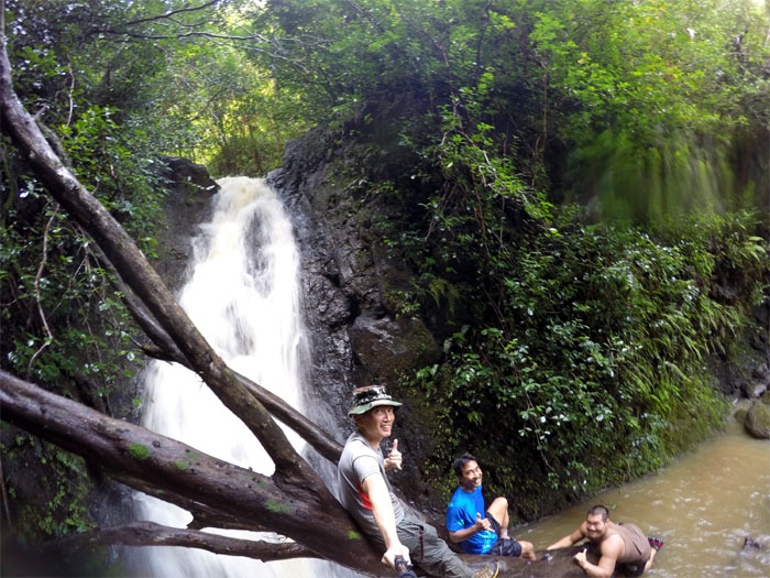
Upper Malaekahana Falls
To get to the bigger waterfall. Photo by Dale Yoshizu.

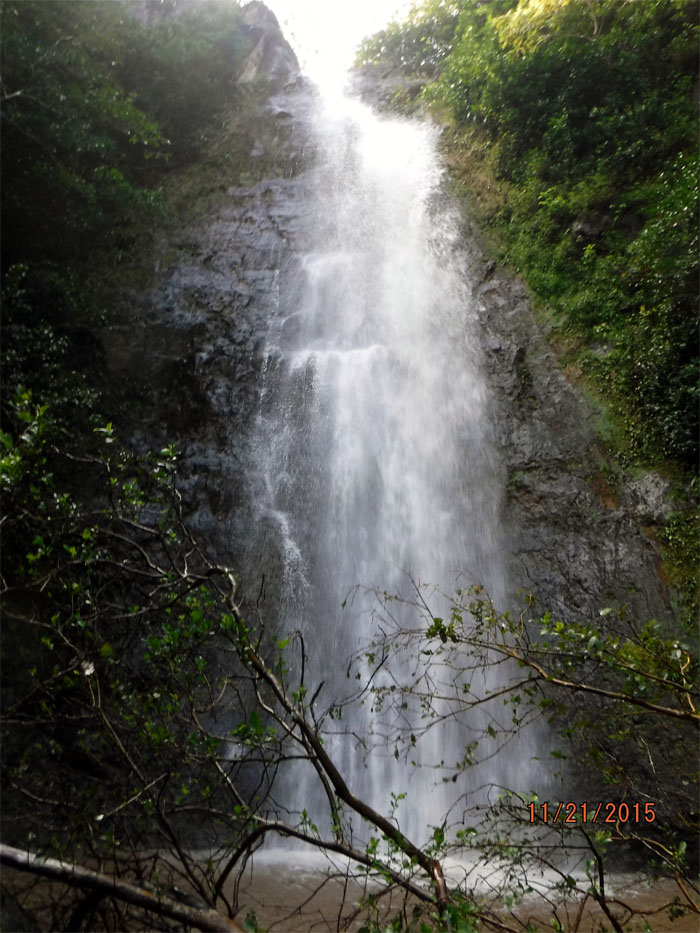
Upper Malaekahana Falls
Up close and personal with the 80’+ waterfall. Maybe too close. The water was ice cold. Photo by Justin Hirako.
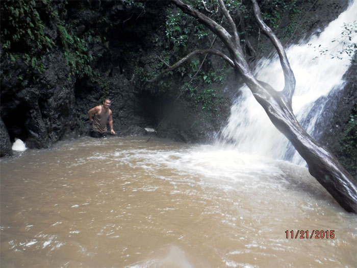
Search & Rescue
As I made my way down to the lower falls, my waterproof camera slipped out of my pocket and bounced down to the pool below. Not clumsy proof. Justin searched. No rescue. Photo by Dale Yoshizu.
Strawberry guava trees
Making our way back up to Malaekahana Ridge.
Laie
Looking out towards the ancient sanctuary for fugitives. We had our hiking permits from Hawaii Reserves, so we were good.
Fence trail
No sightings of Lani Moo.
Shoe wash
We washed the mud off our shoes and the mob of mosquitoes had a feeding frenzy.
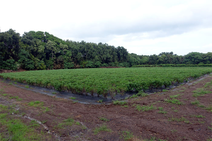
Farm
What kind of plants are those? Justin!
All pau
Where was the rain? Every place but here.
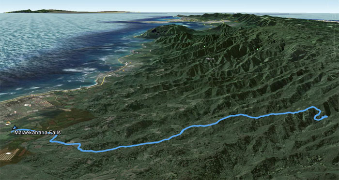
GPS Tracks
Our short and sweet waterfall hike covered 6.98 miles. Post hike meal at Waiahole Poi Factory. No laulau? Wow laulau!
{ 4 comments… read them below or add one }
Aloha! I did this hike last week with some friends and we are trying to figure out the distance. Is the 6.98 round-trip? (There has been much debate over the actual distance.) Mahalo
Aloha Erica,
That’s what my GPS shows. I usually post RT regarding the mileage.
Mahalo
Hi Kenji, I need your help with finding the upper, We got to the two lowers today no problem, is it as simple as going up stream at the first stream crossing?
Aloha Christopher,
If you are talking about the big waterfalls at the top, I believe we climbed a fallen tree in the pool to climb to it. It’s been several years, so I don’t know if the tree is still there. Hope this helps.
Mahalo