This was our second chunk of the Koolau Summit Trail that we started last month. Today we only had half of the horsemen in attendance, Chance and myself. We checked in at the Hawaii Loa gated community and was told that they let visitors with Hawaii ID in once the sun was up. This contradicts what an earlier guard told us, which was 7:00am. We have a failure to communicate. Go with the 7:00am. We drove all the way to the top and into Paka Nahele Park and discovered we were the first of only 10 cars they allow up here.
We left my car at the park and drove in my friends car to the top of Kaluanui Road to start our hike to Mariner’s Ridge. Since we were early, we shared the trail with only a couple other hikers. Usually the place is packed with hikers going up and down the trail with their kids and dogs taking point. We got to the top of Mariner’s Ridge in half an hour and debated about continuing the hike as the weather looked sketchy.
After spending some time watching the clouds rolling in from the ocean and talking story with some other hikers on the ridge, we decided to continue the hike by climbing down a small rockface to get on the Koolau Summit Trail.
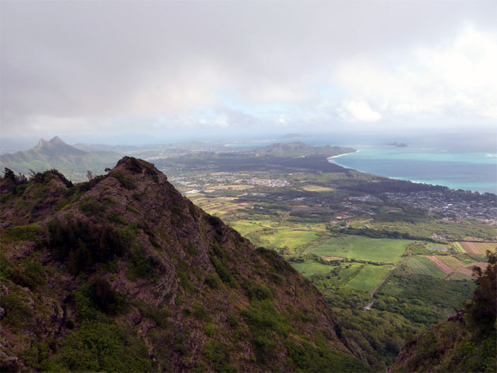
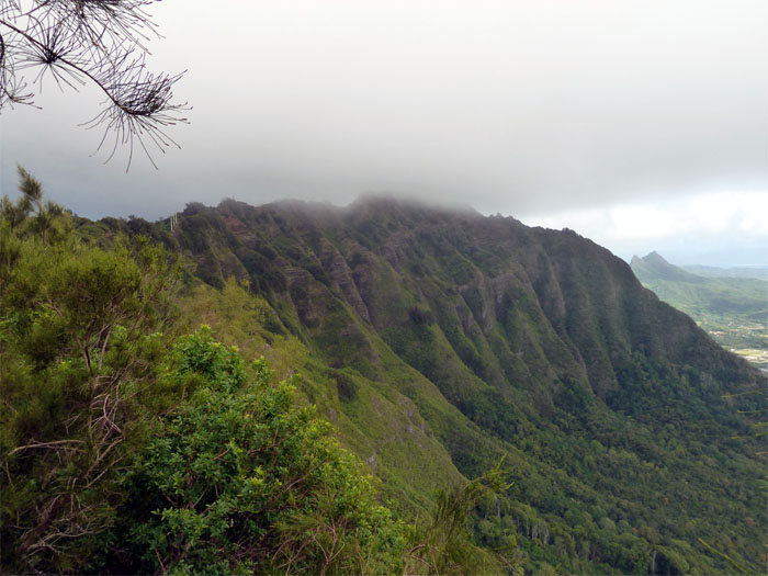
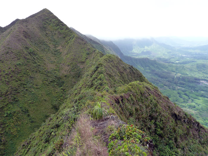
The trail turned into crumbly rock and dirt as we made our way past Haha’ione Valley on our left. You can see Mariner’s Ridge on the left and Kuli’ou’ou Ridge on the right.
As we made our way to Kuli’ou’ou, the trail became vegetated again and the clouds started to mask the top of the Koolaus. I was just hoping that Mother Nature wouldn’t decide to turn the faucet on while we were hiking up here.
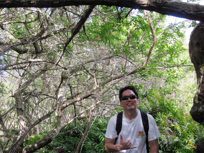
Somebody marked this particular stretch of the trail with toy plastic soldiers stapled to tree branches and cacti. They reminded me of the toy soldiers found on top of Pu’u Hapapa.
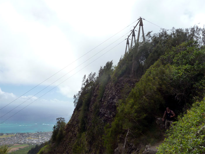
Here we are passing the first set of power lines that sits on top of the Koolaus. Luckily HECO work crews were not scheduled for today, as I heard they have to stop work when hikers are around for obvious safety reasons.
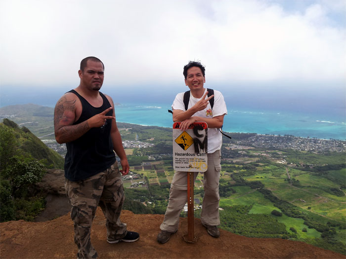
After passing a second set of power lines, we soon got to the top of Kuli’ou’ou where there was a bunch of people checking out the views. The Kuli’ou’ou hike is quite popular and can get very crowded on the weekends. After a short break, we continued past the warning signs where the trail started to get a little narrow and the drops seemed more pronounced.
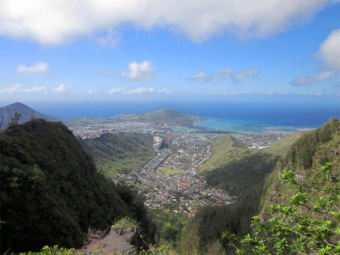
Click here for a larger image of the view from the Kuli’ou’ou lookout.
This is the lookout point where the Bear Claw trail from Waimanalo ends here at the top. Another hike to do on our bucket list.
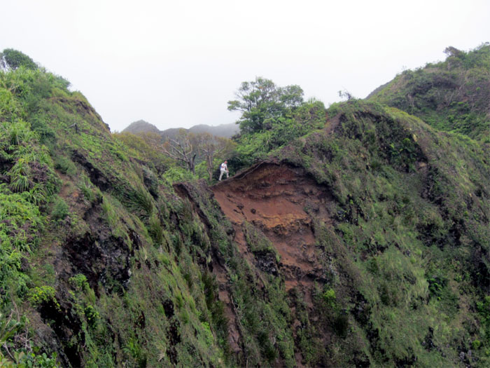
We came across this eroded part of the trail that looked the same from the last time I did this hike. The bark is worse than the bite, if you know what I mean.
The view from Pu’u o Kona was actually a lot better than the one we had at the Kuli’ou’ou summit. After taking another short break, we took a little while to find the trail that would allow us to continue the hike. It’s actually not marked, but we just basically followed the ridge to get back on track.
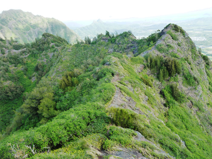
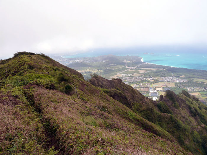
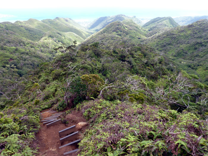
The trail after Pu’u o Kona seemed less traveled and closer to the steep windward drop offs, so we concentrated more on watching our steps on the narrow and heavily vegetated trail and less on picture taking. We soon reached the top of Kulepeamoa Ridge which connects down into Niu Valley if so desired.
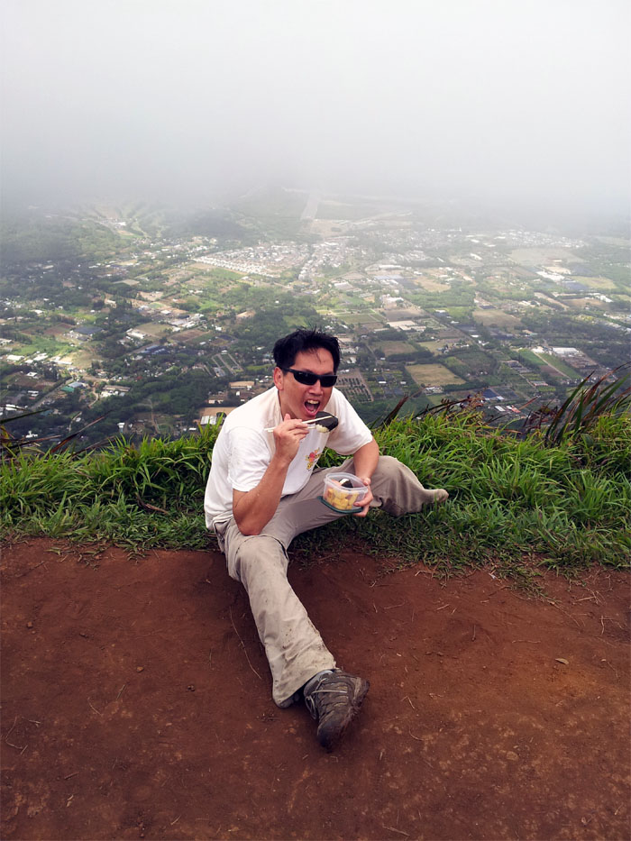
Chowing down at the top of Hawaii Loa, the lookout area is quite small but there was nobody else but us to share in the clouded view.
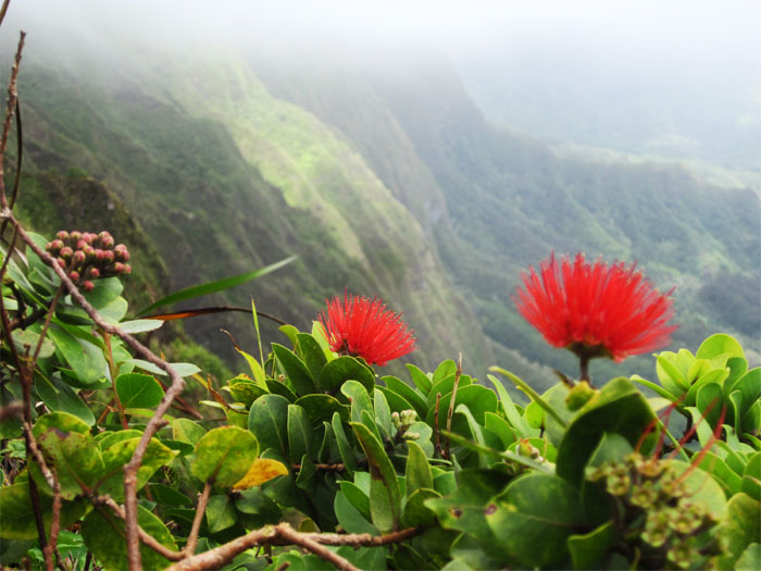
It took us about two hours to get back to our car, along the way down we passed an abundance of red ohia lehua trees. In Hawaiian legend, Ohia and Lehua were lovers. Pele had eyes for Ohia, but he scorned her and hell hath no fury like a woman scorned. So she turned Ohia into a tree and the other gods took pity on Lehua and turned her into a flower to put on Ohia. We didn’t pluck any lehua flowers as it is said that when they are separated, the heavens fill with their tears which turns into rain. Trust me, you don’t want to come down from the top of Hawaii Loa ridge in muddy conditions.



{ 0 comments… add one now }