
Lanipo Windward ridge was last reportedly done by HTMC hiker Dick Davis in the 1940s when he lost all his fingernails going down. Ouch. I wanted to scout out the ridge for a possible future hike. Joining me today were Jose, Ryan and Thessa.
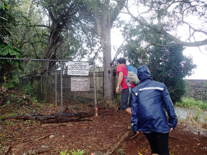
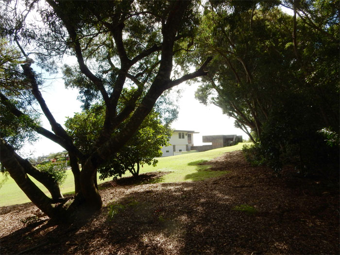
Trailhead
We parked at the top of Maunalani Circle and found two condoms on the ground. Used. At least somebody had safe sex.
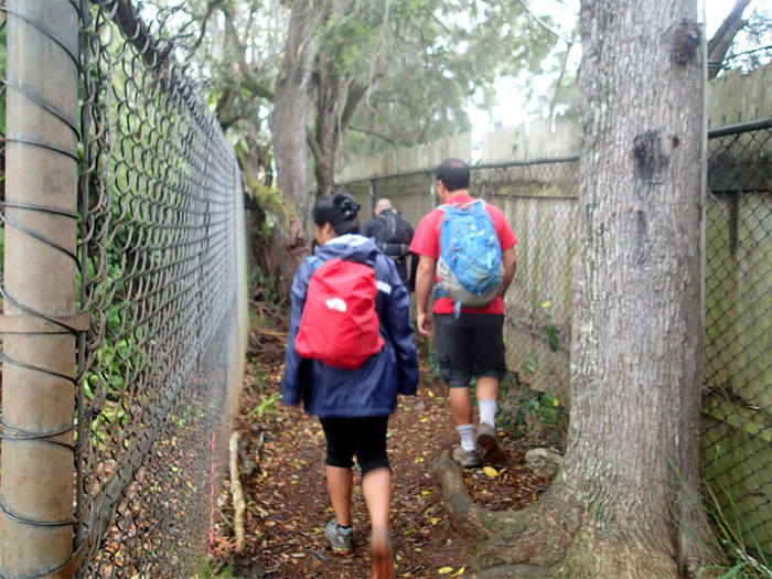
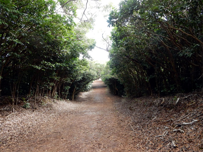
Corridor
The beginning of the trail is sandwiched between a BWS tank and somebody’s private property.
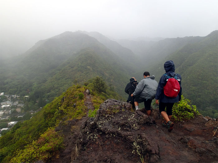
Mau’umae ridge
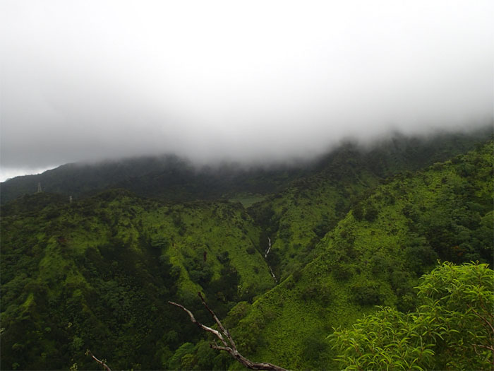
It was a rainy day on the ridge. Can’t catch a sunny break.
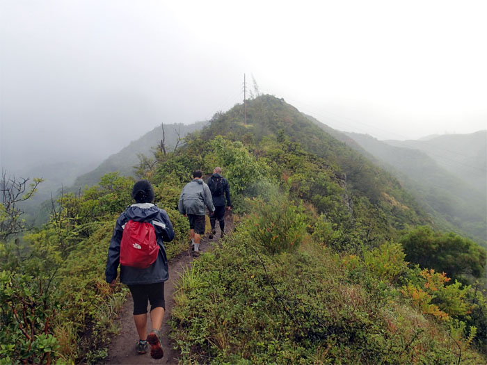
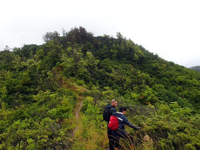
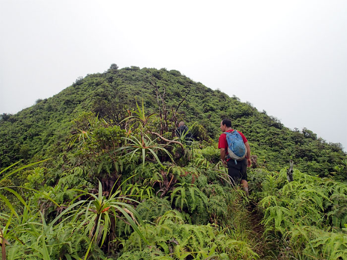
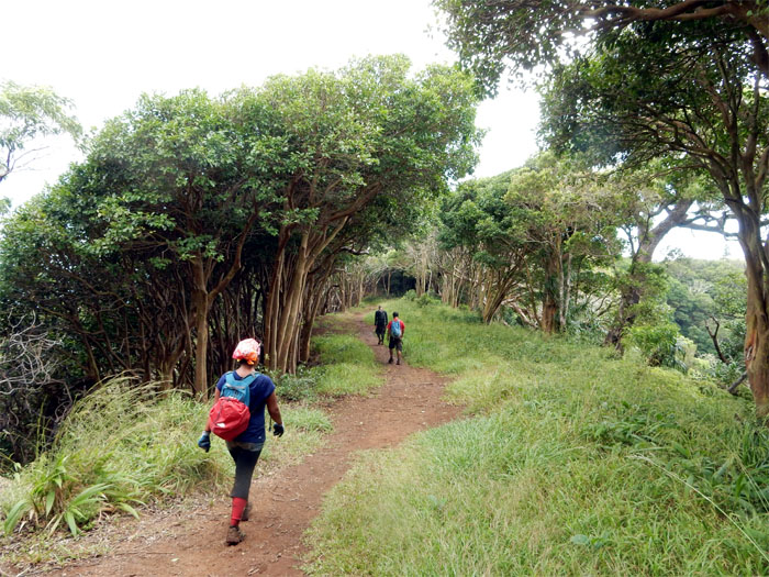
Walking up
The Lanipo trail has been described as a rollercoaster hike. A light version of the Manana Trail. Up and down. Repeat until you get to the top.
Looking back
Click here for larger image.
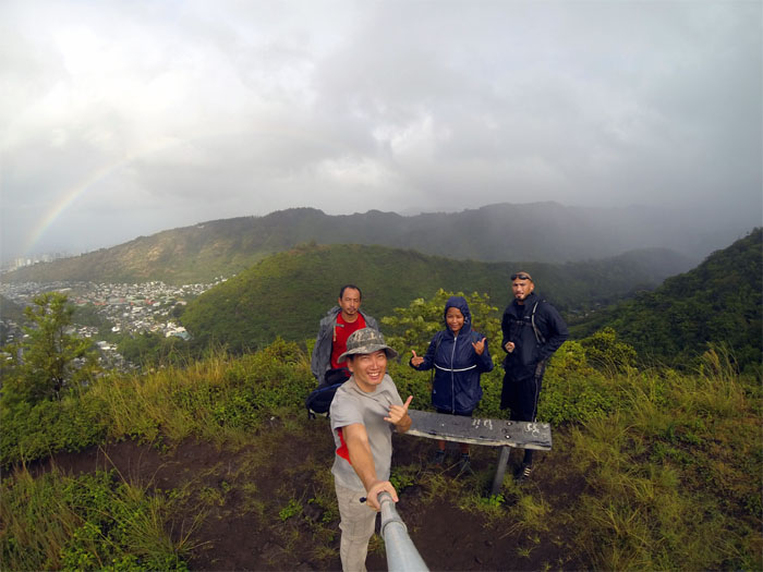
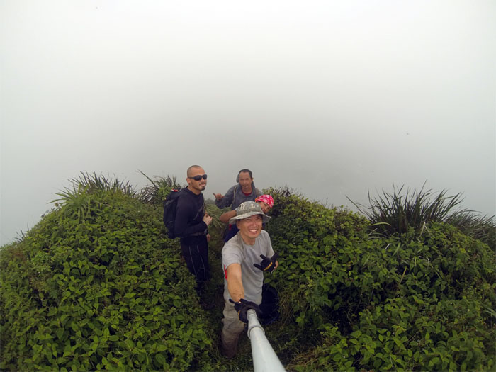
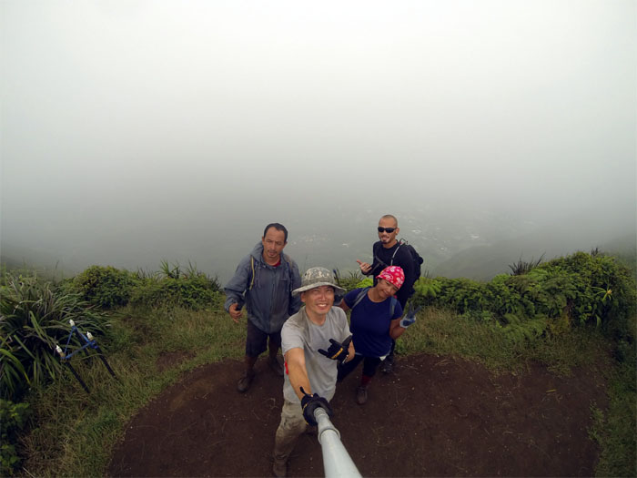
Steve Becker bench
Group photo at the bench left to right: Jose, myself, Thessa and Ryan. Sound advice that was posted: Never hike alone, carry a cell phone, and leave your hike plan with someone.
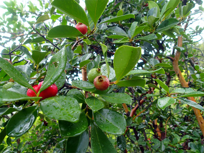
Trail snacks
Strawberry guava trees fruiting along the trail.
What’s that?
Ryan and Thessa looking at some red flowers nestled amongst dead branches that caught their eye.
Dew drops
Something you only see in the morning or after a good rain. We had both.
Captain Morgan?
Where’s the rum? BYOB on the trails.
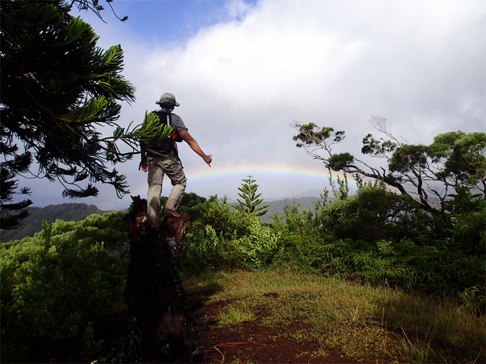
Shaka rainbow
It’s all about perspective. Photo by Jose Luis Delaki.
Waterfall
The third waterfall cascading down from Ka’au Crater.
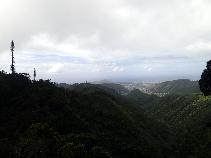
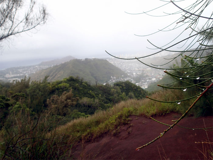
Palolo valley
Looking out all the way to Diamond Head.
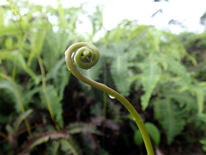
Baby fern
A fiddlehead.
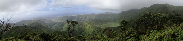
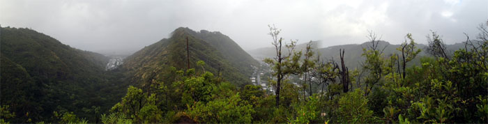
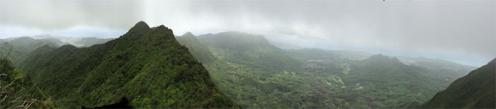
Panoramic view
Click here for the larger image.
Almost there
Ryan and Jose going up the last hill to the summit. The rollercoaster ride has ended. Please remain seated until the car comes to a complete stop.
Mount Olympus
The cloud deck was skipping and skimming the top of the Ko’olaus. Caught a rare glimpse of Olympus not capped in clouds.
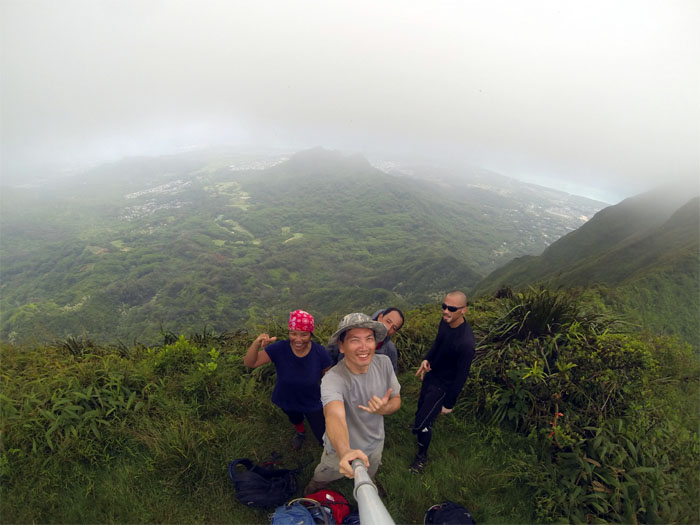
Kainawa’aunui summit
A severe infestation of gnats or flies replaced the rain at the 2,520′ summit. Bring back the rain.
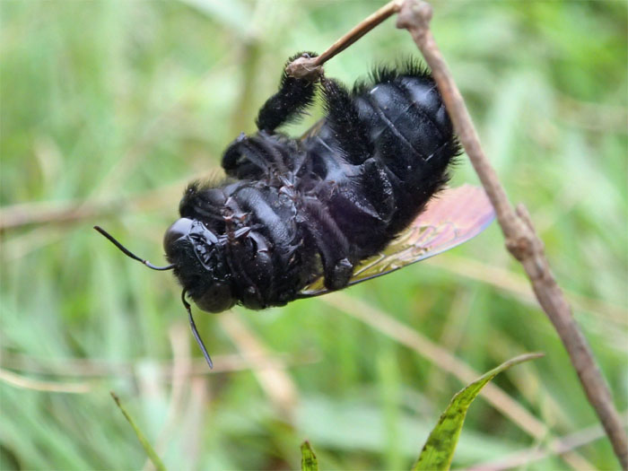
One less pollinator
A bumblebee chose this branch as its last resting spot.
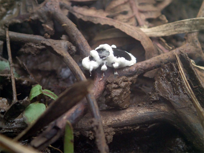
What the?
Jose spotted this peculiar looking beetle that had some white stuff clinging to its body. Imperial bug trooper.
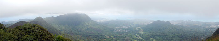
Panoramic view
Click here for the larger image.
Cloudy summits ahead
The gnats or flies were feeding off the fruits and seeds of the ‘ie’ie woody climbers. I think we ended up feeding on some of them.
On the KSRT
Back on the rollercoaster. Photo by Ryan Leano.
Koolau Summit Ridge Trail
Keep your arms and legs on the Leeward side at all times.
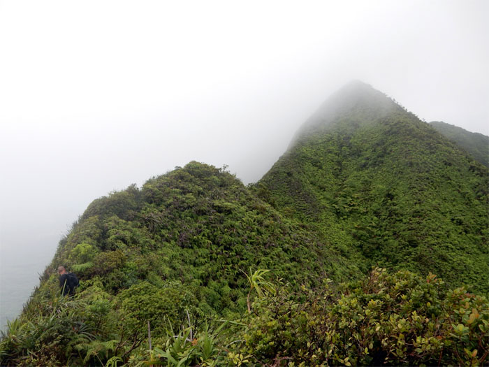
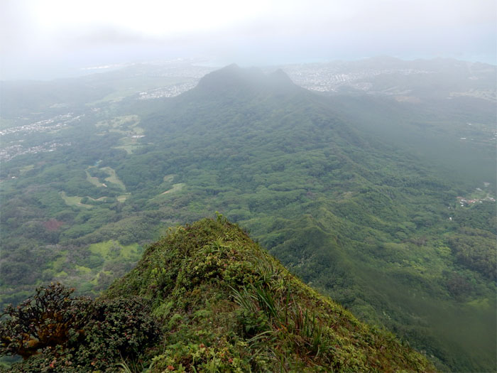
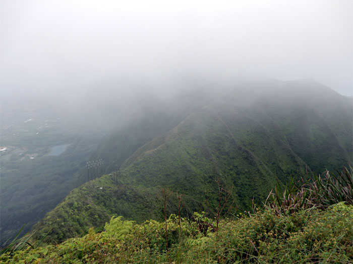
Lanipo Windward
Approaching Lanipo summit and Windward ridge. Photo by Jose Luis Delaki.
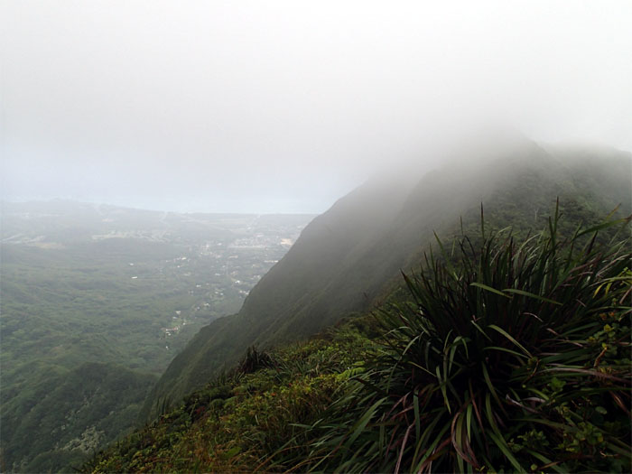
True Lanipo
Socked in summit. What are we looking at?
Panoramic view
Click here for the larger image.
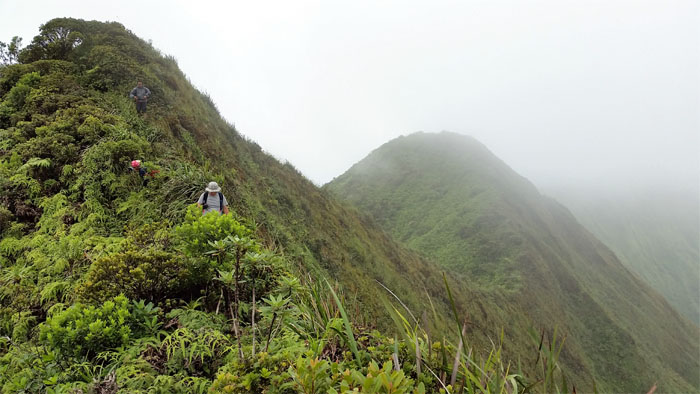
Scouting
Doesn’t look that bad. So far.
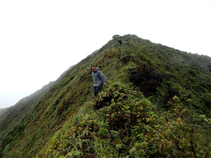
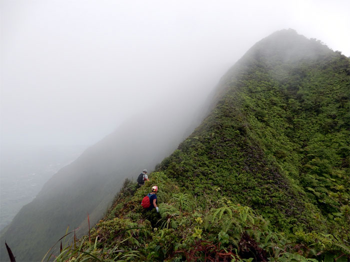
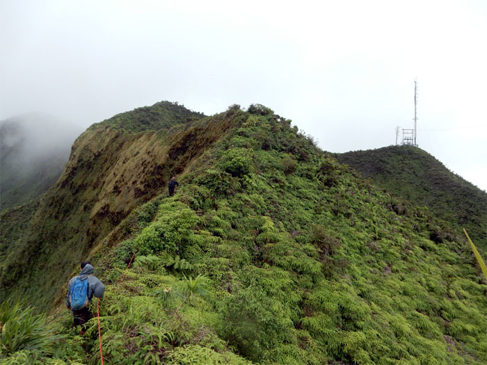
Lanipo Windward
Jose coming down the ridge.
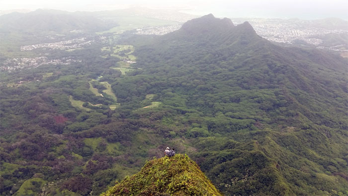
Checking it out
Some pretty hairy sections further down. Warrants further scouting from the bottom of Aniani Nui Ridge that connects to the backside of Ahiki. Photo by Ryan Leano.
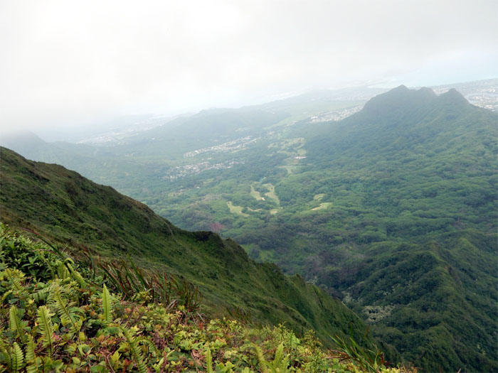
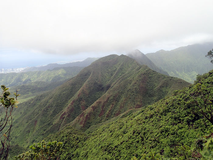
Looking back
Side view of Lanipo Windward Ridge. Steep and sketchy. I know other hikers have scouted it from top and bottom and decided it was too dangerous to complete. Something to chew on.
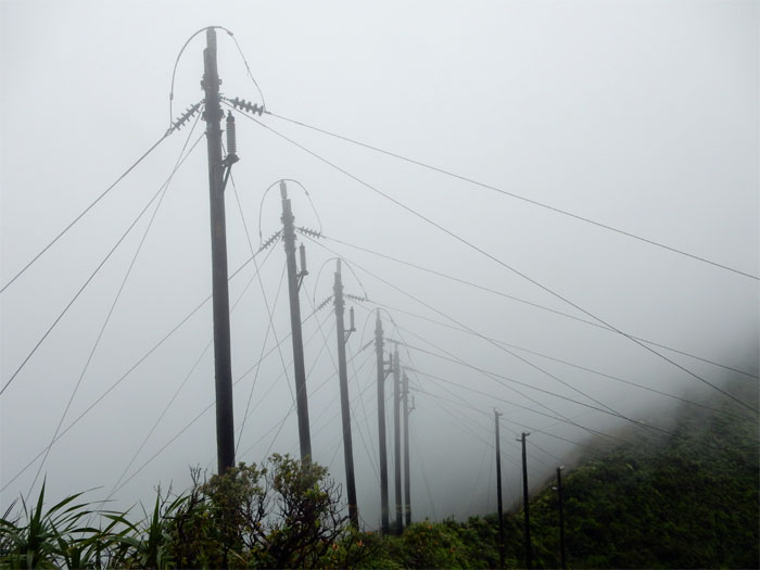
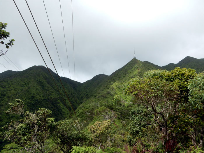
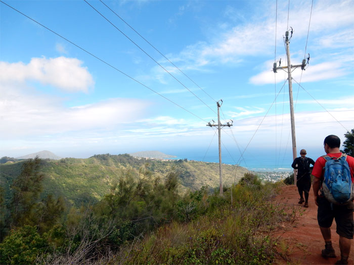
Cloudy ridge
Going down to the cluster of HECO power lines.
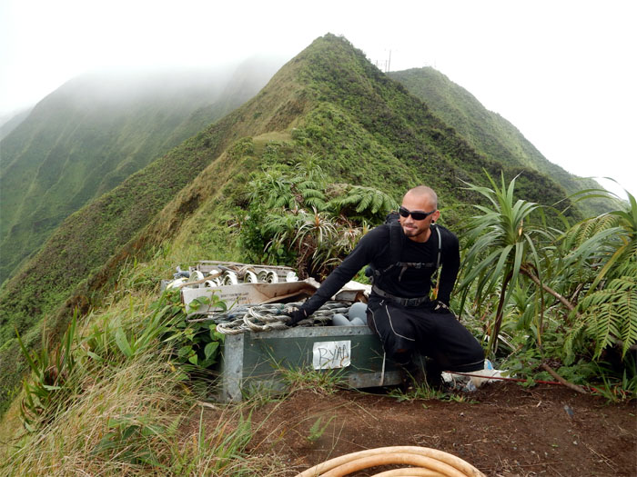
That’s my name
Little known fact is that Ryan works for HECO.
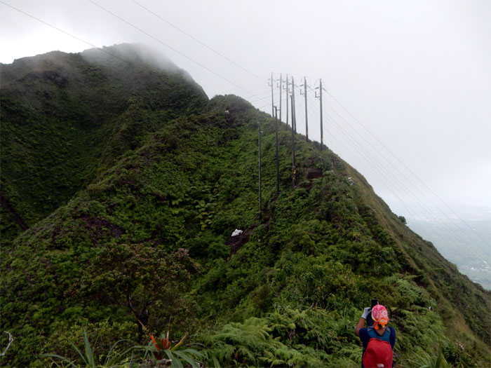
HECO power lines
Imagine working up here. Must be nice to get choppered into work, instead of taking the bus.
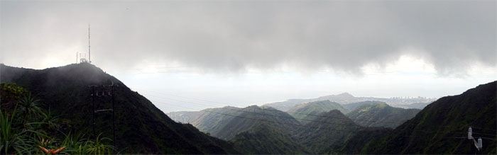
Panoramic view
Click here for the larger image.
Almost to the last summit
Ryan and Jose making their way up the last hump.
Wiliwilinui
Another socked in summit. Typical day on the Ko’olaus.
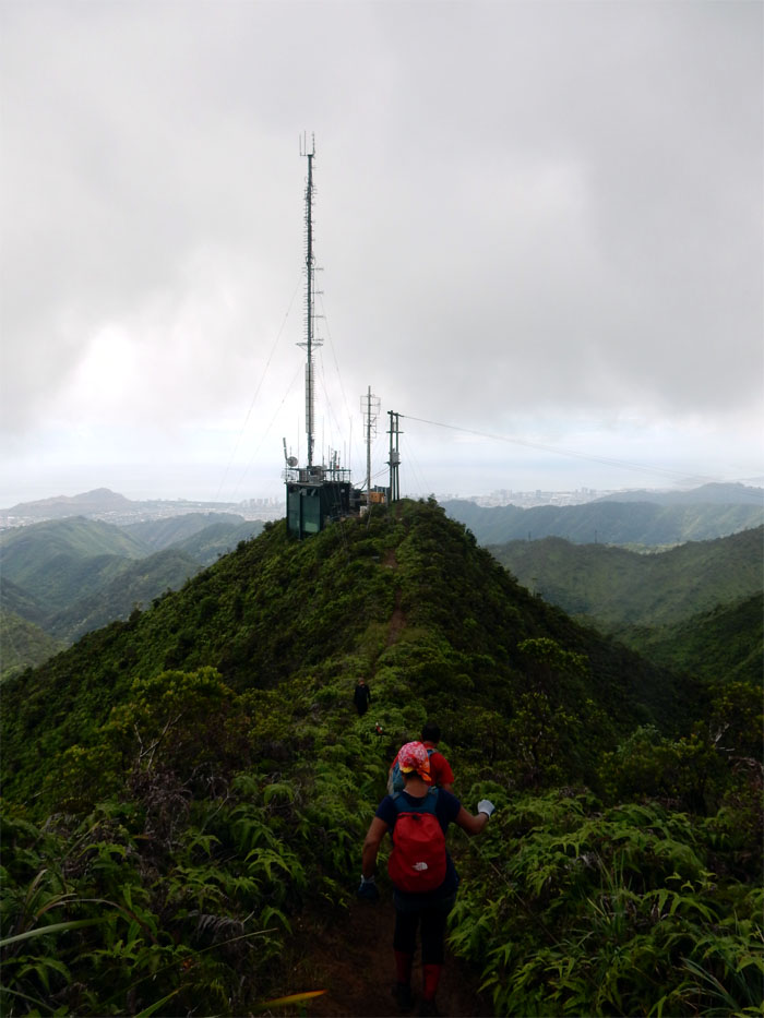
Communications relay site
Headed down the Wiliwilinui trail.
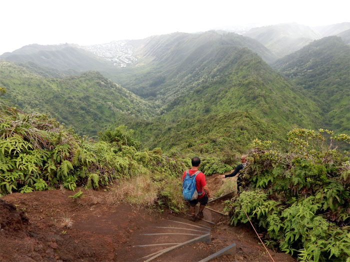
Steps
Familiar trail footing, slats buried into the hillsides to retard erosion.
Looking back at the Ko’olaus
Looking at the path we had traveled from Kainawa’aunui to Wiliwilinui on the Ko’olau Mountains.
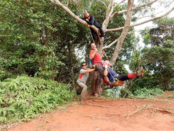
Swingers
Made use of a popular swing at the bottom of the stepped trail. Look under the seat to find clues to other swings.
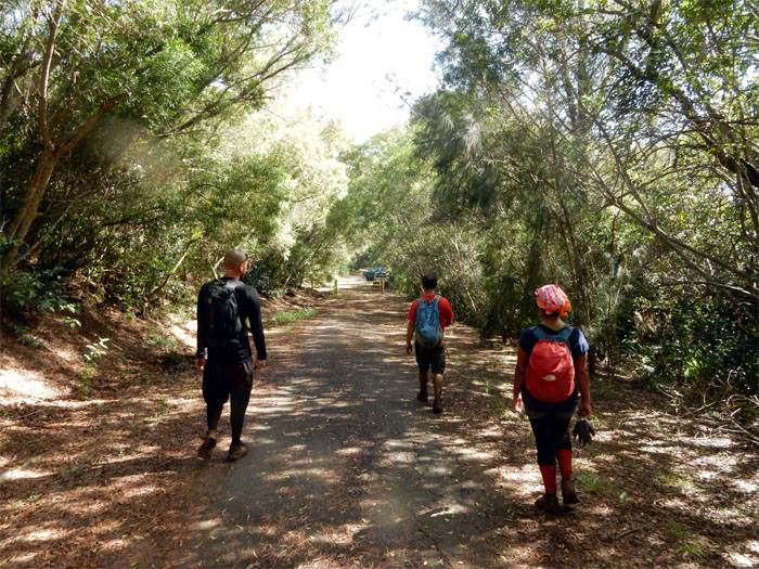
Easy trail
The rest of the trail down was a dirt road. Wide open. Nice change of pace.
Connector trail?
We passed the connector trail that descends down into Wailupe Valley. Another hike for another day.
One last view
The trail afforded us one last view of East Oahu ranging all the way to Koko Crater.
Hike pau?
Headed towards the trailhead gate.
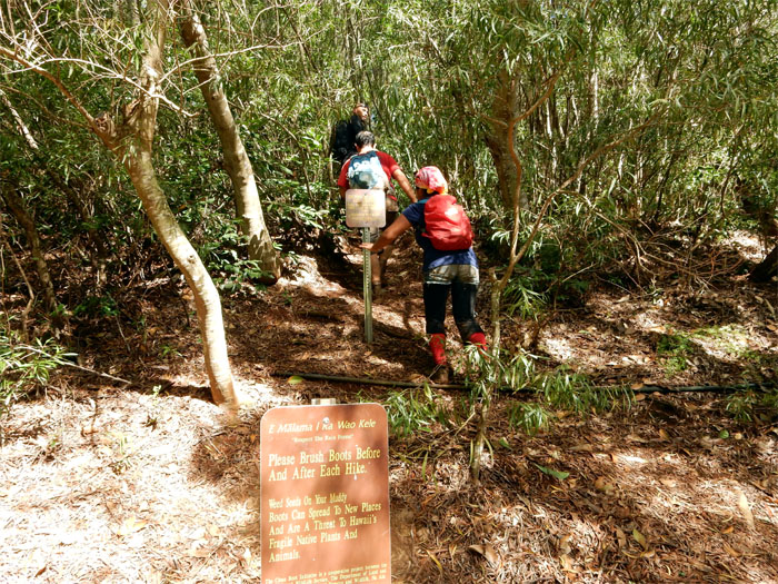
Not yet
Going up an access trail which leads to several WW2 bunkers and gun turret emplacements formerly known as Battery Wilridge (Kirkpatrick) that were built in 1942.
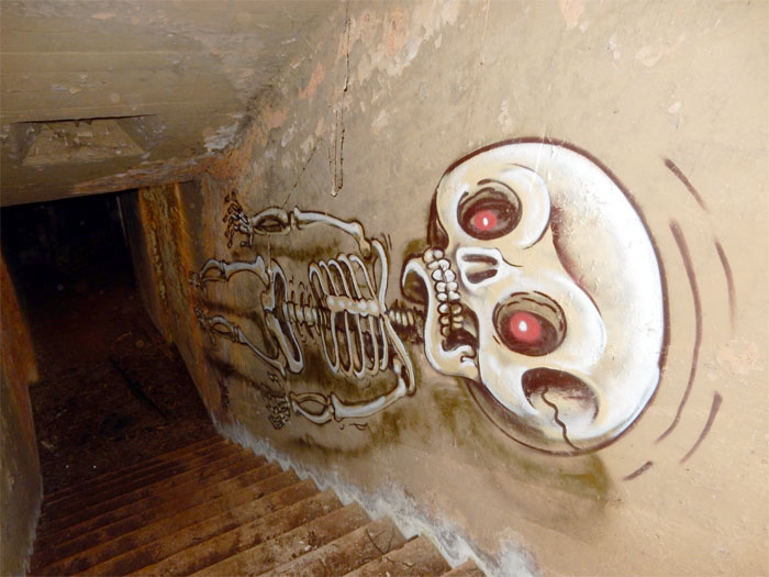
Bunker #1
Thessa sliding down to the first bunker.
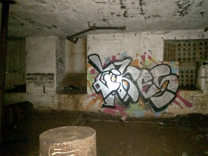
Exploring
This bunker could have been the control station. The holes seen in the recessed area were possibly data and power lines for a naval computer. Computer in 1942?
Bunker #2
The second bunker was much larger and possibly had a powder room that contained the magazine/conveyor belt that fed the shells to the guns.
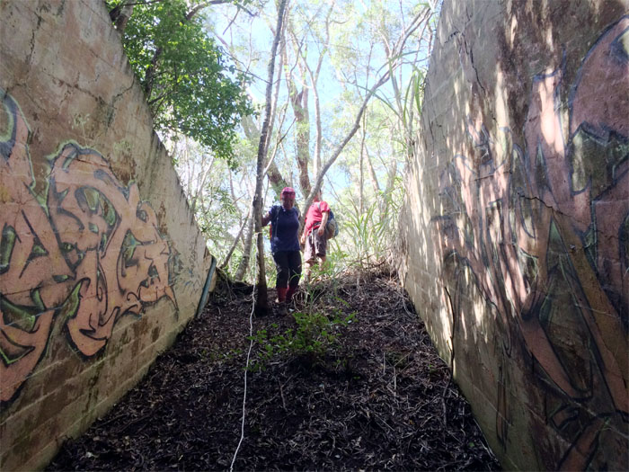
Camouflage
We followed the powder room where it lead to this barbette, which once housed an 8″ gun turret that was removed from the carrier USS Lexington.
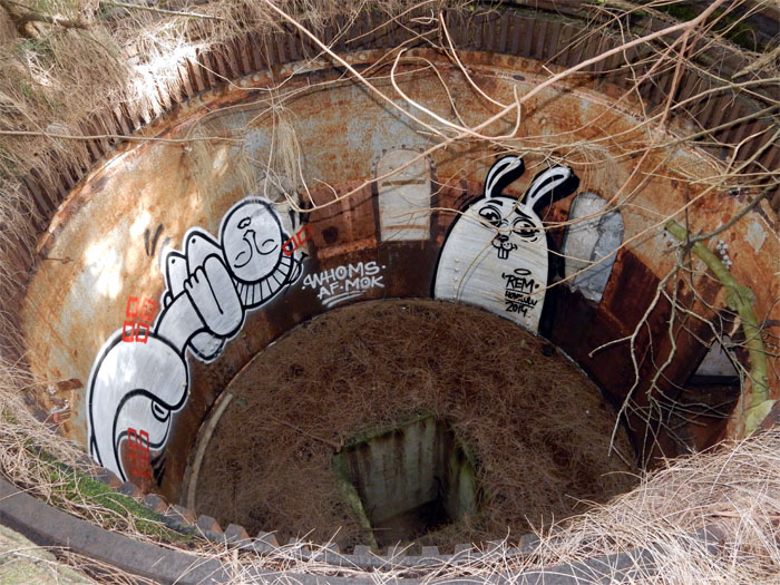
Looking down
This was one of two 8″ gun batteries. We could not locate the other. There are numerous tunnels that connect to other bunkers on this ridge, but most of them have been walled off by private owners that own some of them.
Rich mans bunker
One of the bunkers sitting next to somebody’s house that was converted into their private man cave. Tours? Release the hounds Mr. Smithers.
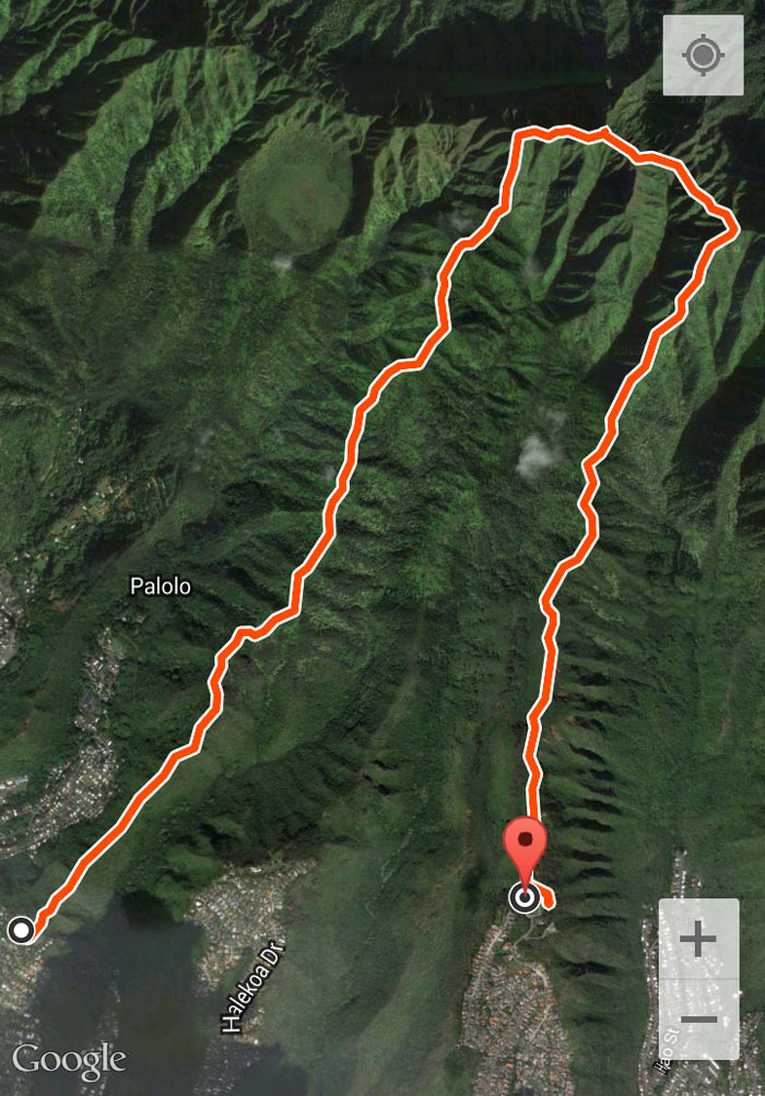
GPS Tracks
Our hike clocked in at 6.44 miles. Got to explore two new trails and scouted out a potential third one with a great group. Post hike meal at Big City Diner. Love Uncle Ray’s Poke.
{ 2 comments… read them below or add one }
Hi, where is Bunker #2? Is it close to Bunker #1? Thank you!
Aloha Carla,
Yes, the bunkers are all situated close to each other. Hard to explain. Just walk around and you will find them.
Mahalo