
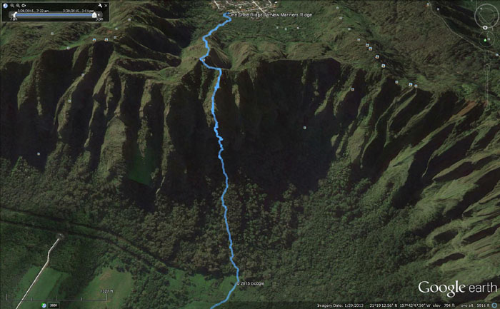
Met up with Glenn, Ryan and Thessa in the backyards of Waimanalo to explore a new Windward ridge. Many thanks to Nalo Bob for letting us park at his place.
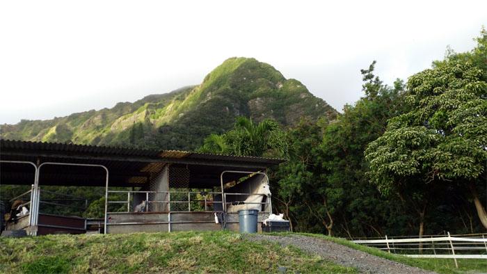
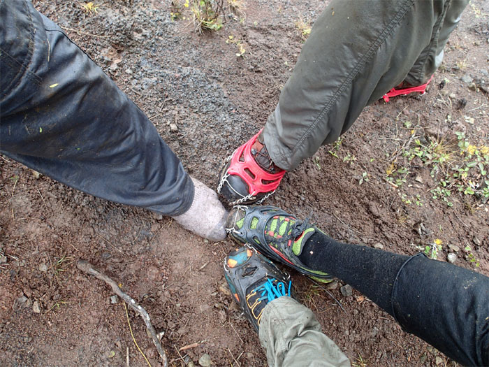
Only two are animals, the other is a mineral.
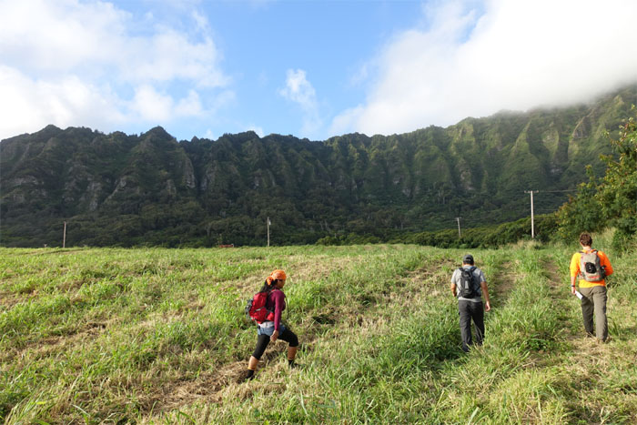
Walking across the open fields under sunny skies. It was going to be a beautiful day. Or at least that’s what somebody said. It wasn’t Guy Hagi.
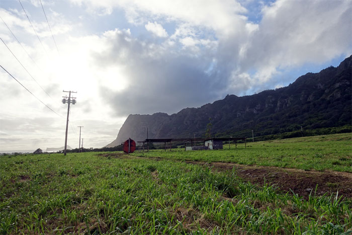
Lani Moo left the ranch in 2001. The University of Hawaii is slated to acquire all 360 acres.
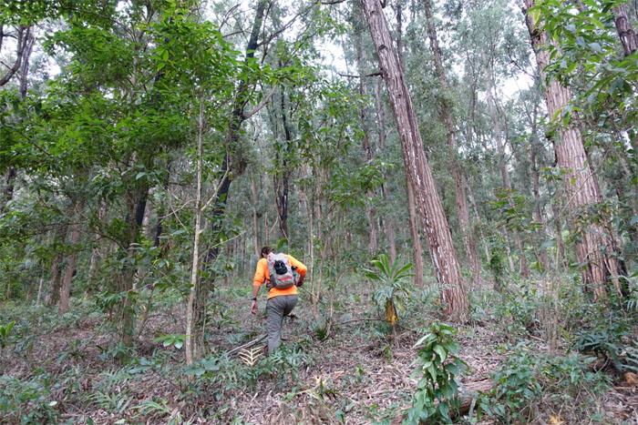
Ryan heading into the forest. Stay to the right of the gully. One of many gullies.
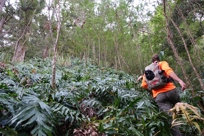
Surprisingly we picked up a path through the ferns. Hunter’s trail?
The trail ended at the base of the steep ridge. No faded ribbons. No signs of civilization detritus.
Where’s that uki grass when you need it? What’s that noise? Rain.
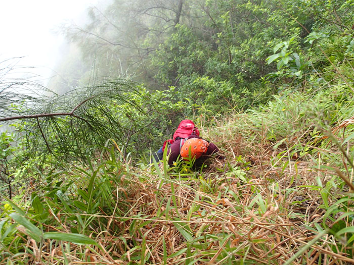
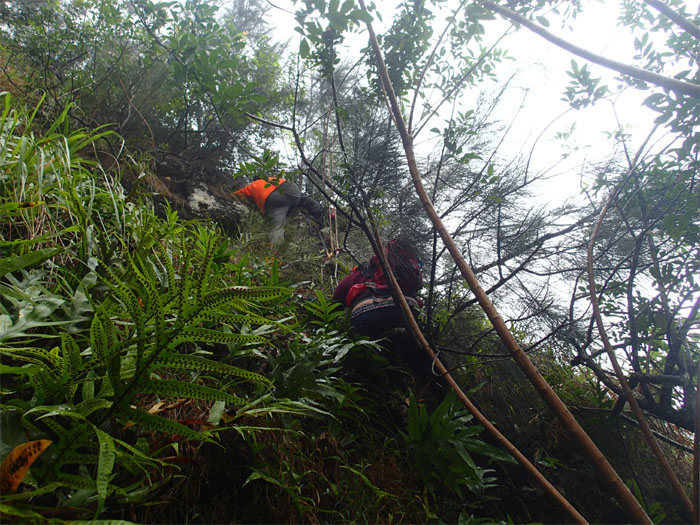
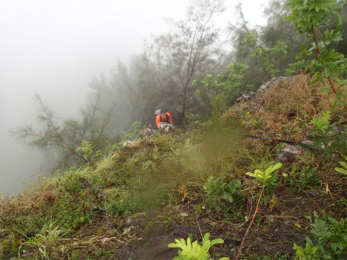
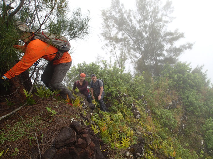
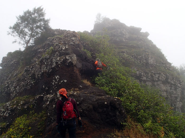
We clawed our way up with the help of deep rooted plants and sheer upper body strength.
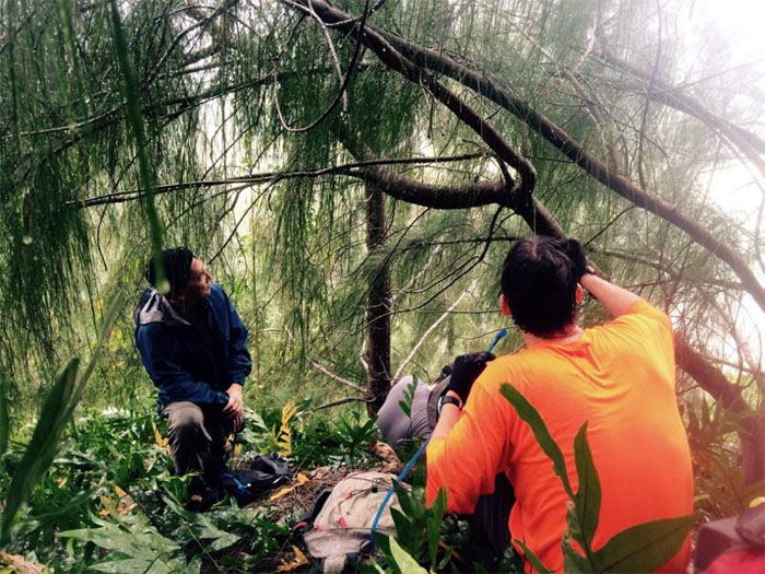
Pausing at the “flattest” spot we found on the steep ridge. Photo by Thessa Bugay.
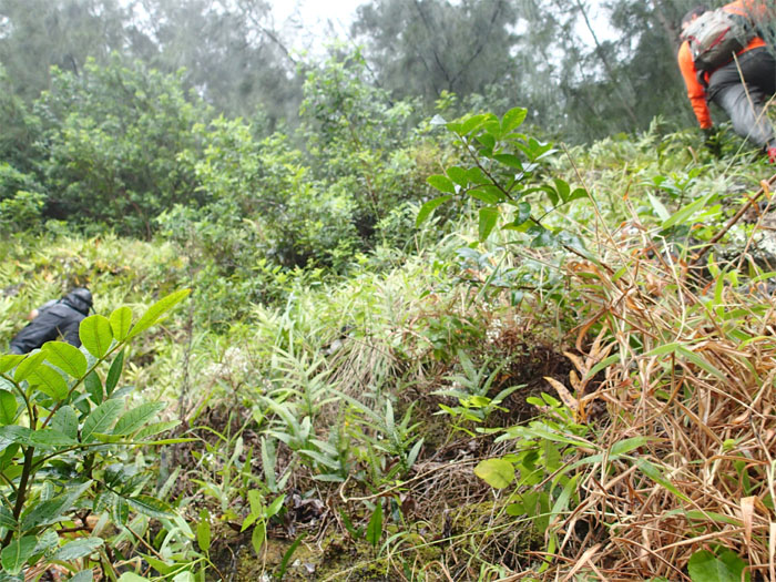
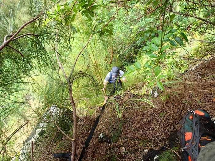
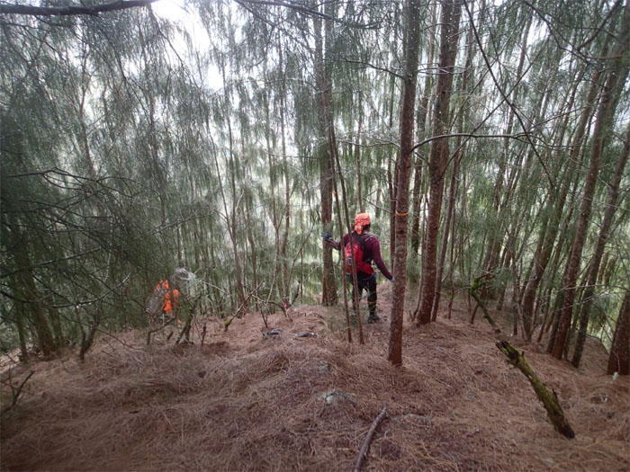
Climbing and slipping on the wet carpet of pine needles as we made our way up.
Short webbing and a tall reach helped us past this tricky spot, which lead us to…
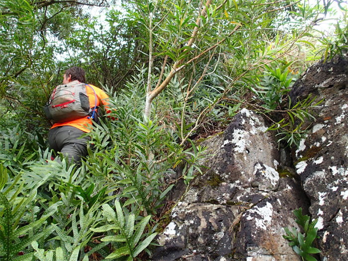
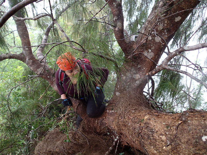
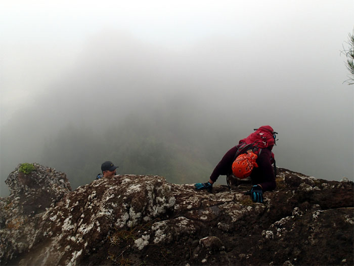
…another crumbly rock face. Three of us climbed and perched on a shaky tree for a better look. A sapling marked the route up. Flashbacks. Was that lightning? Glenn took off his shoes for traction and slowly climbed to the top, mindful of dropping rocks on us. More rain. Glenn lashed webbing at the top for the rest of us to follow.
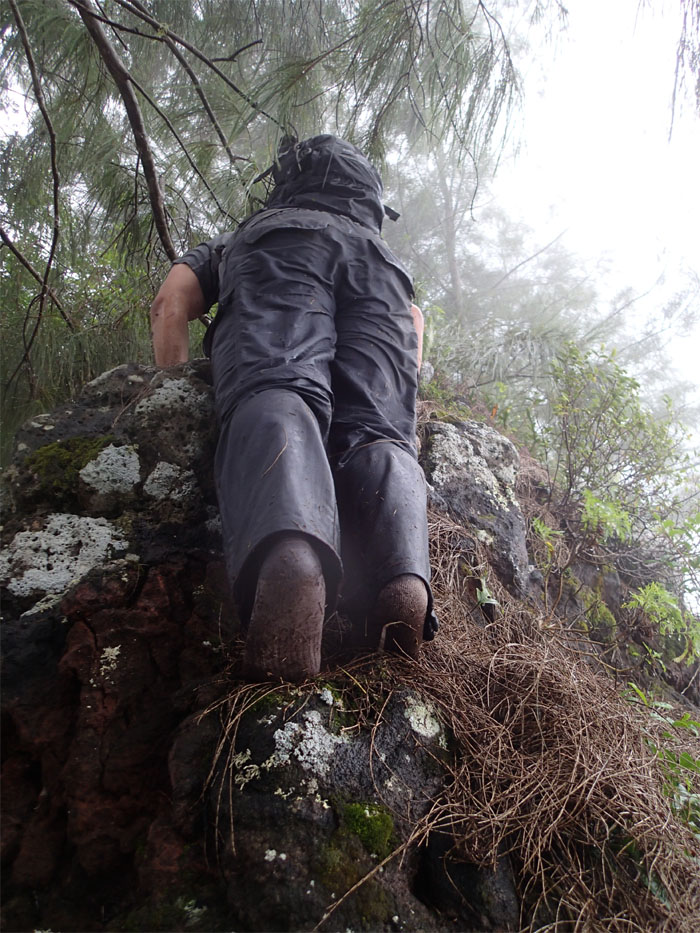
Ryan making his way up. Two good sized rocks in rapid succession tumbled down the cliff. The first missed. The second exploded. Near his head. Strawberry season. Time to get a helmet.
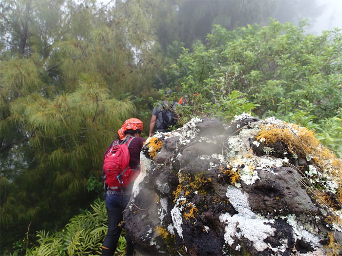
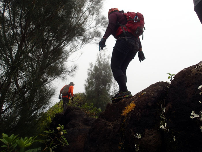
We alternated between climbing on the crumbly rocks until thick clumps of trees forced us to contour to the side and then back again on the slick rocks, mindful of the drops masked by the heavy growth.
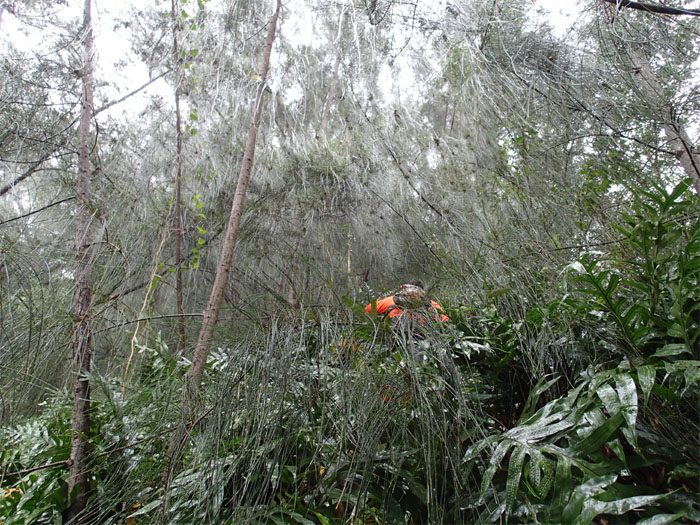
Thessa threading her way through the trees.
Some people use spikes. Others use wet socks. To each their own.
We thought the worst was behind us. Until we saw another steep rock face. Then we discovered a contour trail to the summit. We took the easy option.
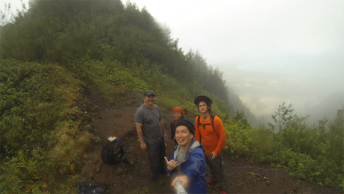
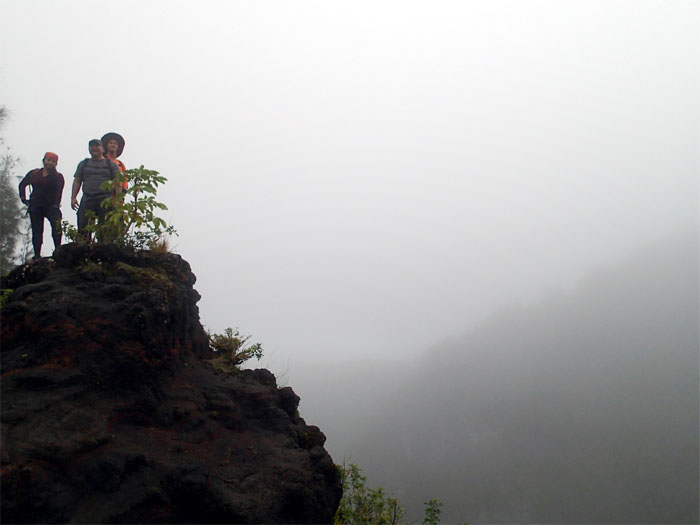
Group photo at the 1,513′ summit left to right: Glenn, Thessa, myself and Ryan. The original plan was to go down Hahaione Windward, but strawberries and weather dictated otherwise. We recalibrated our plans to head down the Leeward side.
And now you know the rest of the story. If anybody knows the name of this ridge, please enlighten me, until then we’re calling it “One Shoe Ridge” in memory of our collective experience.
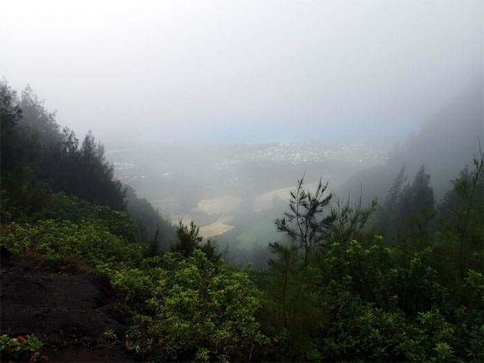
The clouds started to clear. The rain stopped. The cruel irony.
A short rocky climb.
Wet, cold and exhausted. Not necessarily in that order.
Enjoy the company.
Watch your step.
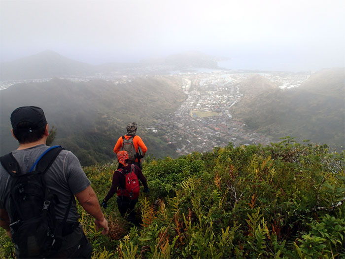
Now we have a view!
We noticed a lot more ribbons on the trail from last time.
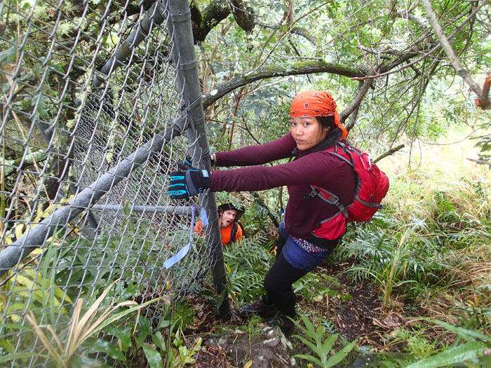
We skirted the water tank fence to make our way down to the road.
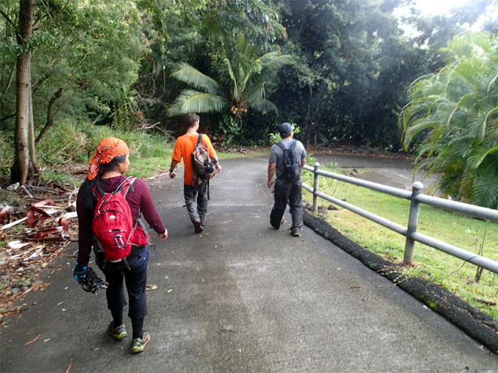
The crew walking back to civilization. Shout out to Jasmin for picking us up. She even had piping hot nilagang baboy in the trunk for us.
The crumbly, overgrown and steep hike covered a paltry 2.36 miles. Pouring rain magnified the difficulty of the ridge. Post hike meal at Teddy’s Bigger Burgers. Wrong burger. Free burger. One side of staples to go.

{ 0 comments… add one now }