
Thessa joined me to explore a new trail on Schofield Barracks, as Kolekole Pass was open to the public this weekend. Many thanks to Jared Nakahara for throwing this idea out, where I promptly picked it up.

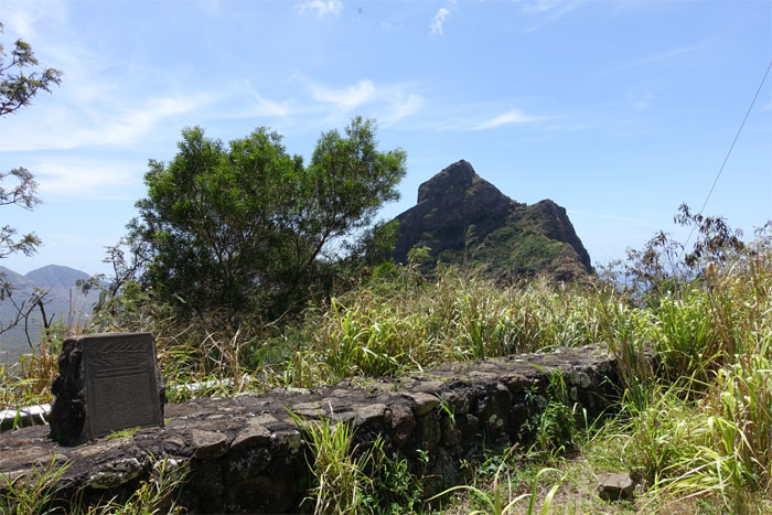
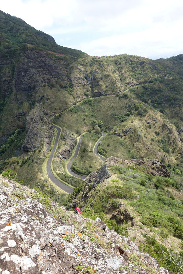
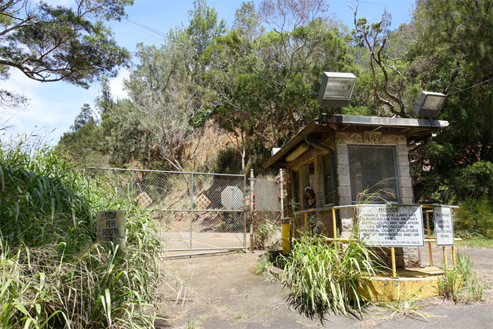
Kolekole Pass Road
We broke away from the clustered crowd at the trailhead to walk down a less traveled road.
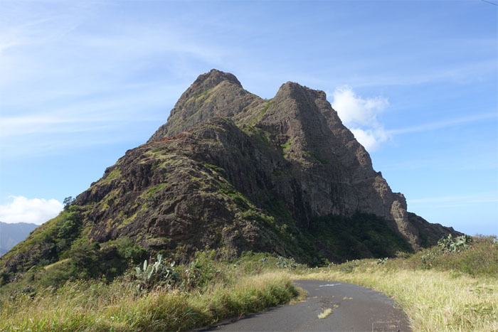
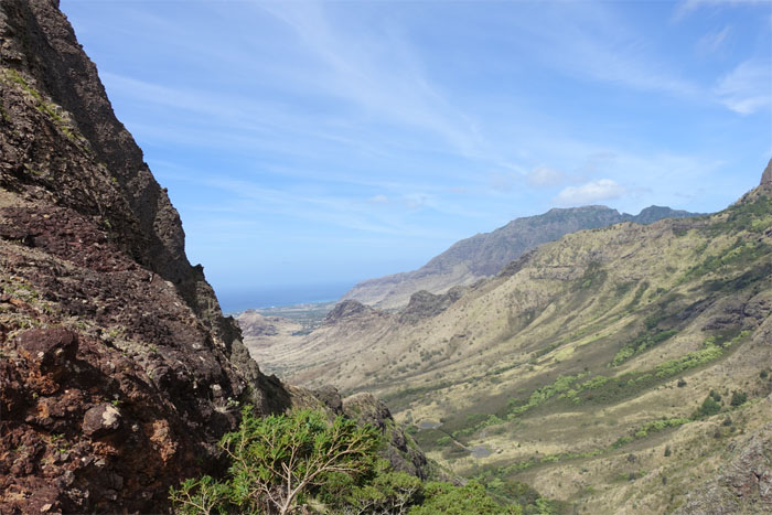
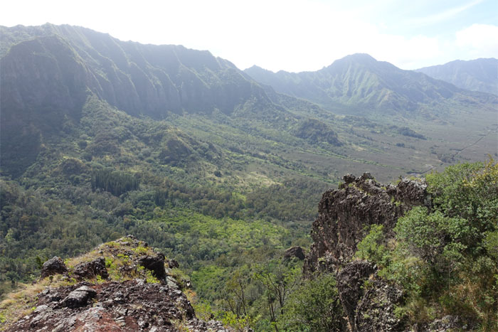
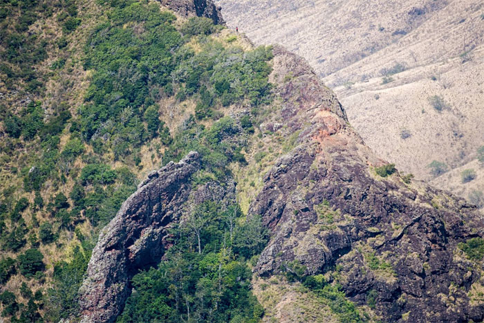
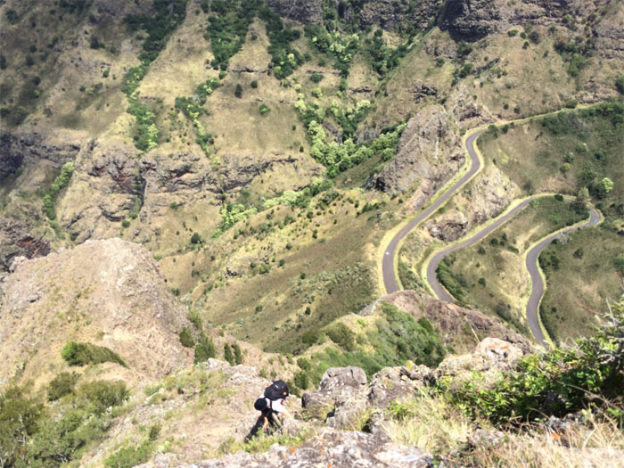
The Forbidden Mountain
The winding road hugged towering cliffs, where it soon opened up to reveal our destination.
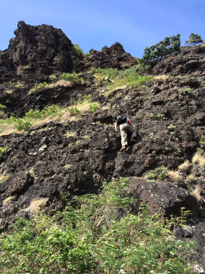
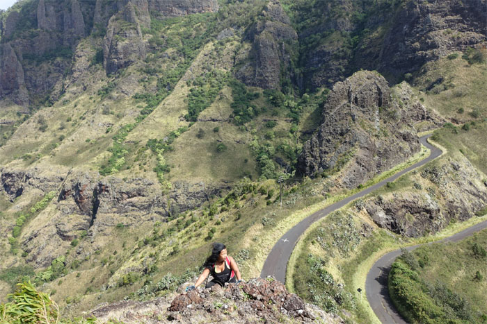
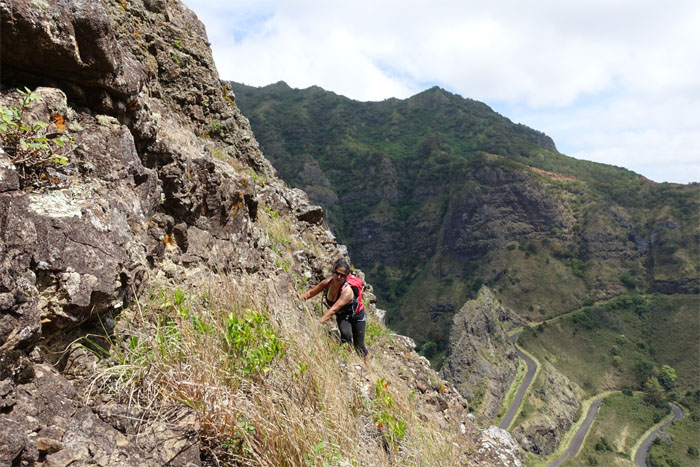
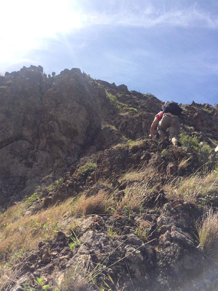
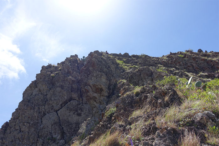
Going up
We left the road to bushwhack up a cacti infested finger ridge to get to the steep base of the mountain. Photo by Thessa Bugay.
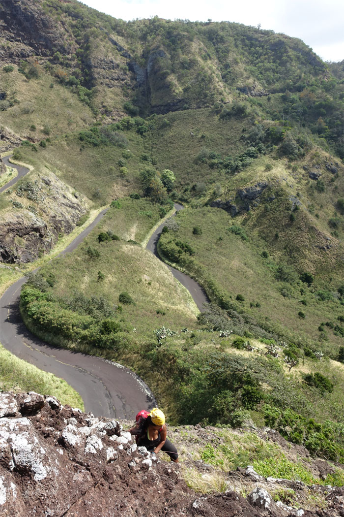
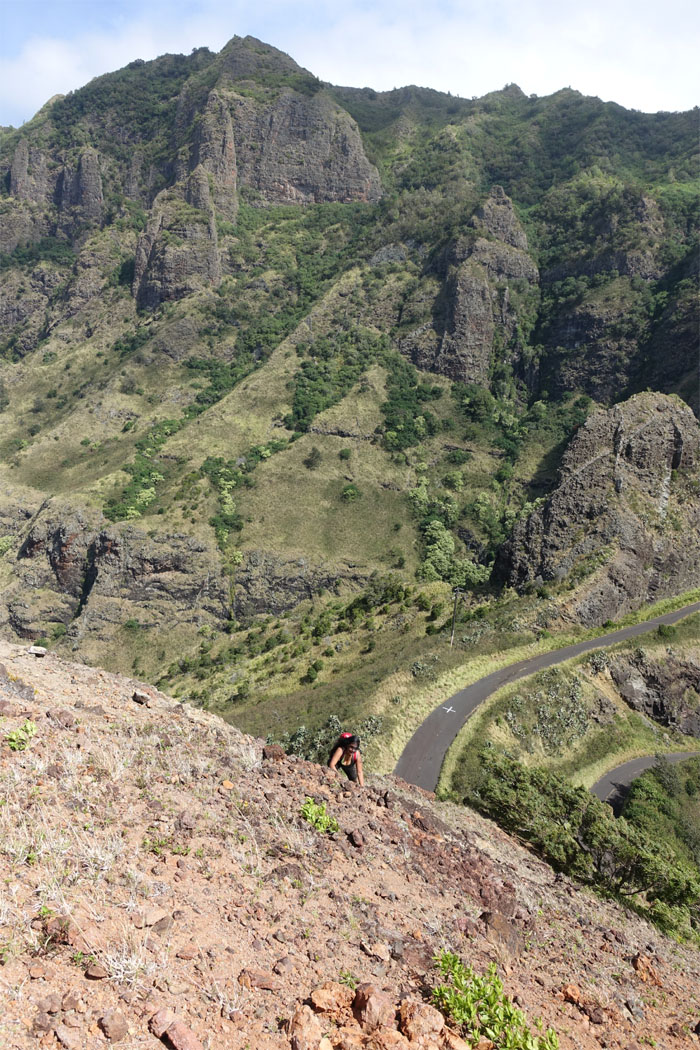
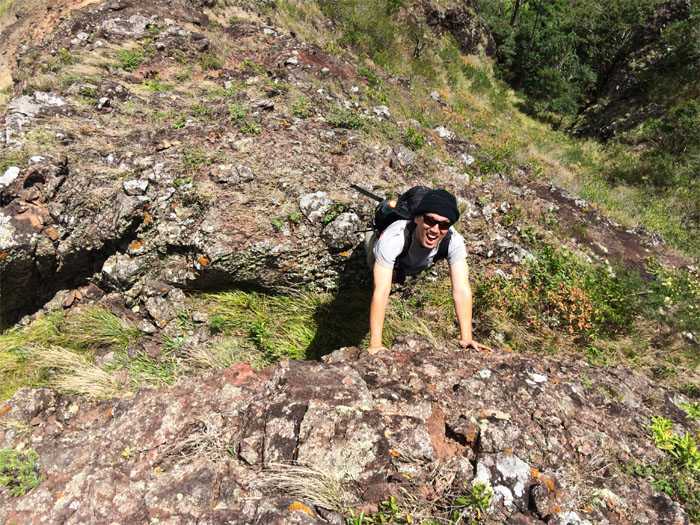
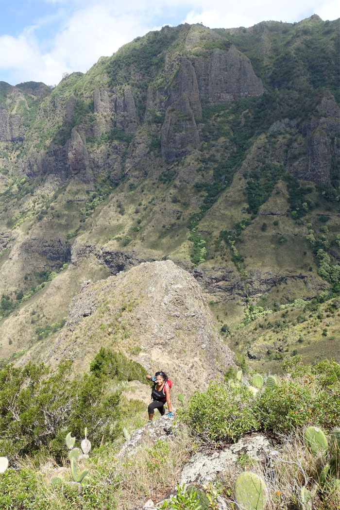
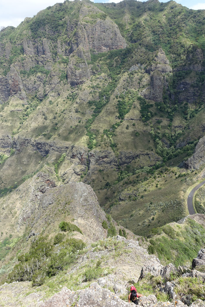
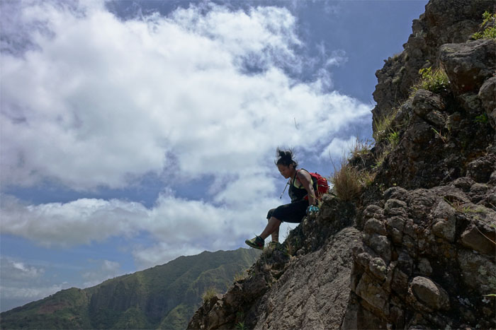
Looking back down
Thessa climbing up one crumbly rock at a time.
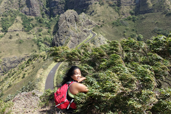
Makai view
The howling wind raced down from the ocean and buffeted us on this isolated mountain in the valley.
Where did it go?
The wind snatched Thessa’s yellow bandana clean off her head and sent it sailing down the mountain.
Hairsock
Thessa hanging onto a tree as the winds pushed us around the mountain. Winds at 40 mph gusting to double nickels. Or at least that’s what her hair said.
Crumbly
I had read this mountain was actually rubble piled against the old caldera wall. Explains a lot.
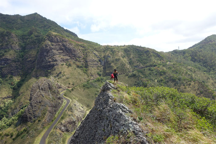
Mauka view
The rugged Waianae Mountain Range.
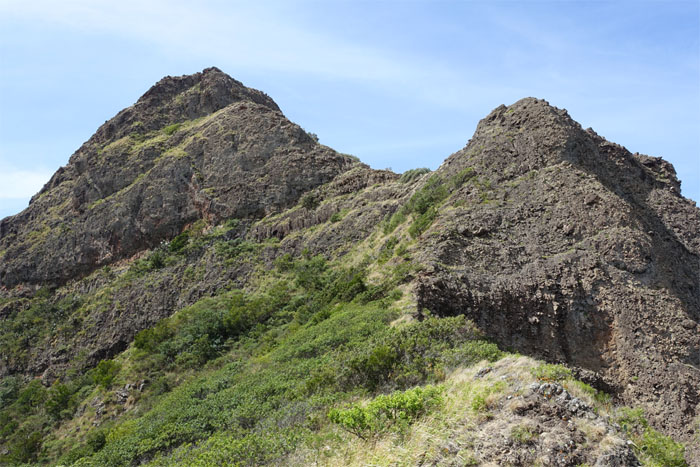
Ka’ilio notches
A small step and it was all over. Photo by Thessa Bugay.
Steep?
From afar, the mountain looks somewhat less than statuesque. Up close and personal, it was somewhat intimidating as it looked like a huge hot mess of rocks just waiting for the inopportune time to come crashing down.
Hang on
Thessa cresting a small rocky hump.
Who’s that?
Find Waldo. Photo by Joshua Keoki Versola.
Scrambling
It was slow going up the mountain, as the rocks were very loose and brittle. Not to mention the windy conditions.
Contouring
We interrupted our straight up climb to contour a particularly steep and crumbly section.
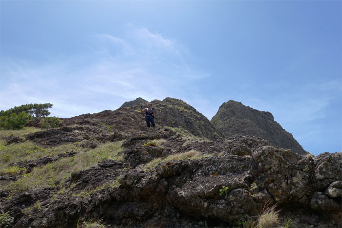
Almost there
It’s not that bad!
More scrambling
I can see the summit! Photo by Thessa Bugay.
Final push
Thessa making her way up.
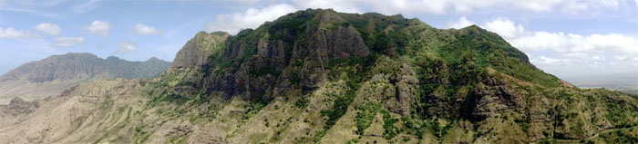
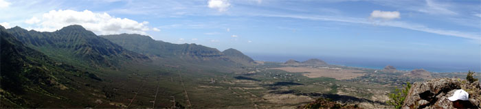
Panoramic view
Click here for the larger image.
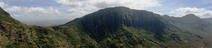
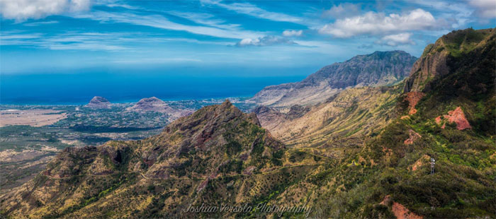
Panoramic view
Click here for the larger image.
Panoramic view
Click here for the larger image.
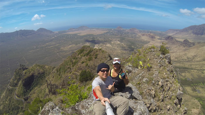
Pu’u Ka’ilio
Thessa and myself at the 1,940′ summit. Consideration of dropping down the other side of the mountain was dissuaded by high winds and crumbly conditions. Back another day.
Pu’u Ka’ilio
The view of Pu’u Ka’ilio from Pu’u Hapapa. Photo by Joshua Keoki Versola.
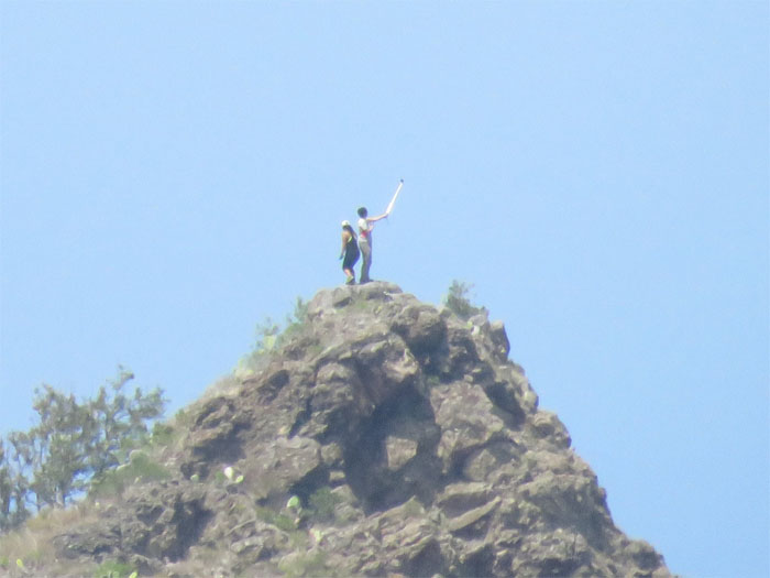
Zoom zoom
I think somebody is on that mountain. Photo by Jake Kunukau.
Going back down
Time to head back down. Photo by Thessa Bugay.
Clear
I scrambled down a safe distance in case an errant rock came my way.
One step at a time
Kicking it on the mountain.
Footwear options
To shoe or not to shoe?
All pau
We ran into a lot of familiar and “heard of you” fellow hikers at the trailhead. Impromptu meet and greet.
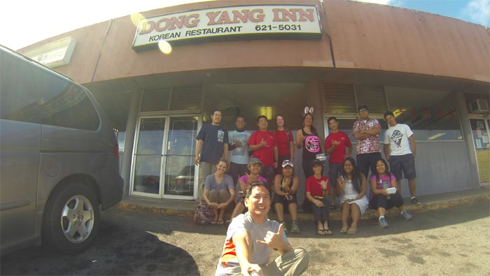
Mild or spicy?
Post hike meal at the most famous Korean eating place in Wahiawa. You say meat jun. We say meat chun. Group photo standing left to right: Ryan, Pip, Erik, Allison, Melita, Darren, Gary and Eric. Sitting left to right: Katie, Agnes, Thessa, Bernice, Janice and Carol.
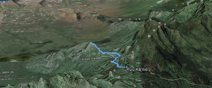
GPS Tracks
The short, crumbly and gusty hike covered a measly 1.91 miles, but afforded spectacular views of the Waianae coastline and mountain range. Definitely want to pay a repeat visit to finish the other side.
{ 0 comments… add one now }