
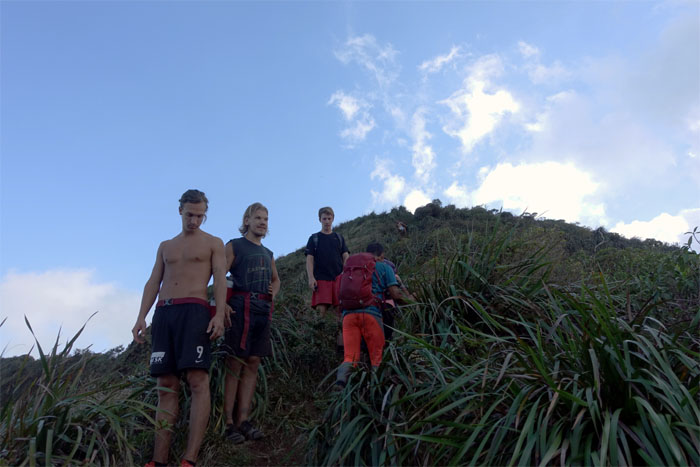
Gen, Jose, Matt and myself met up at the Pali Lookout with the goal to traverse to Kuli’ou’ou. The hot weather would have a say in those plans.
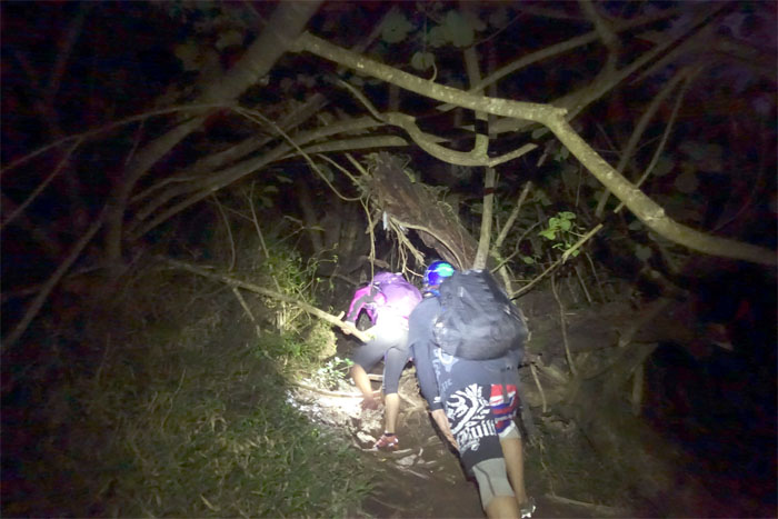
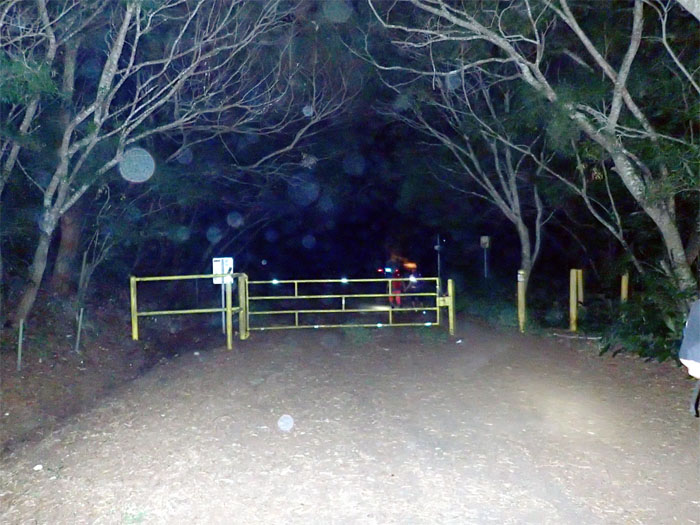
Trailhead
Hiking with headlamps underneath the thicket of hau branches.
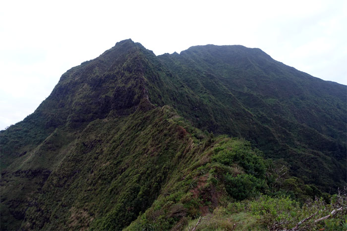
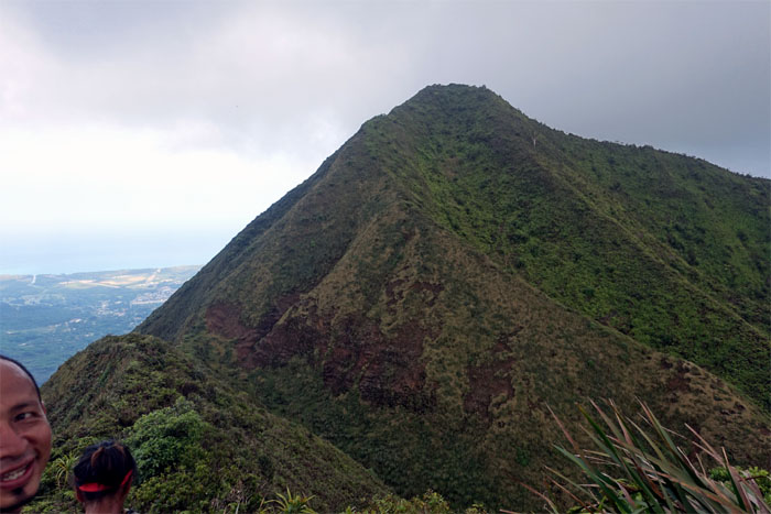
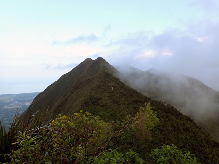
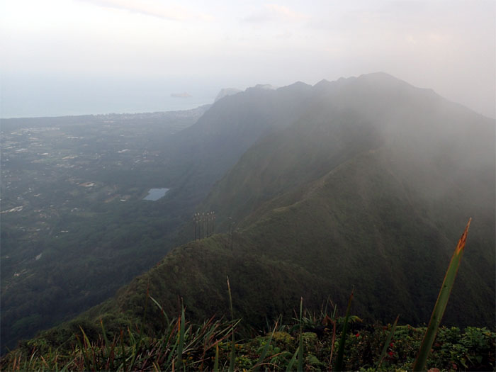
Lanihuli
Looking across to the other half of the Nu’uanu saddle.
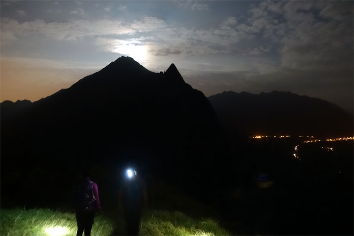
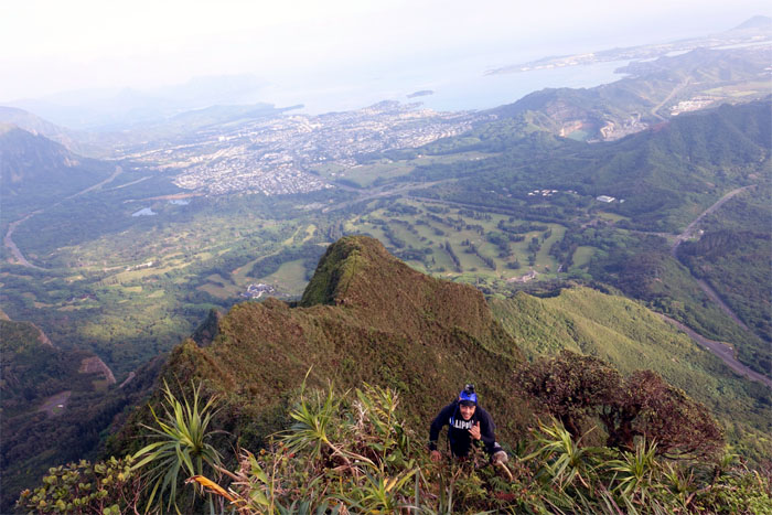
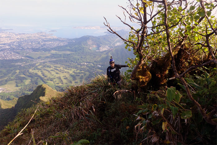
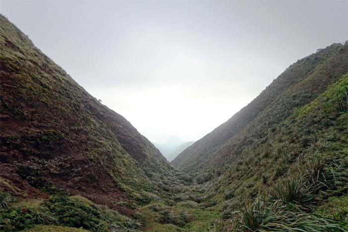
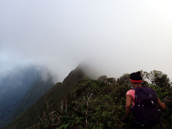
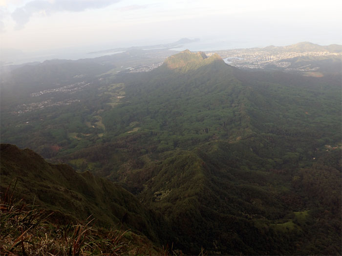
Notch #1
After climbing down the first notch, we hung out for awhile to catch the sunrise. The clouds did not cooperate.
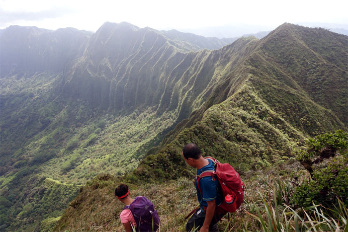
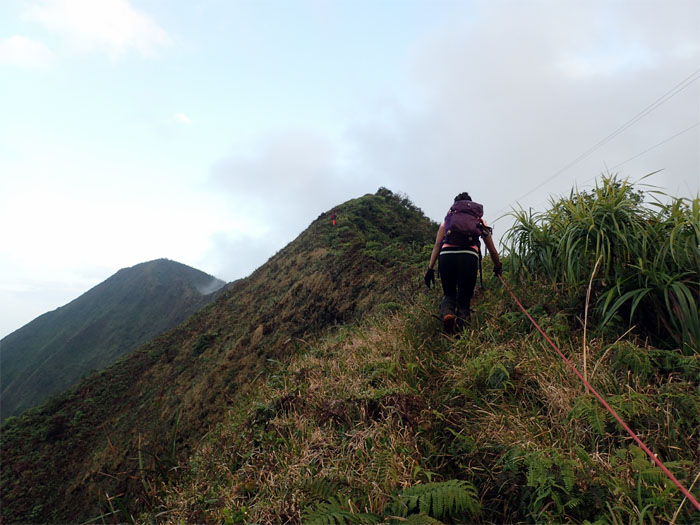
Notch #2
Gen and Jose coming down the second notch.
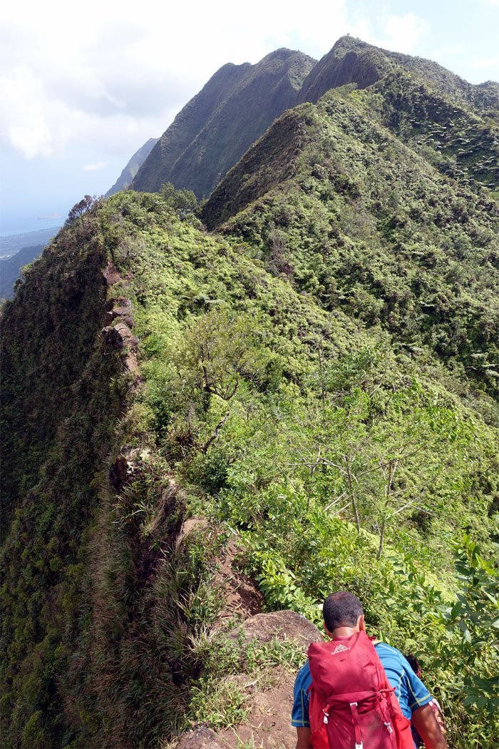
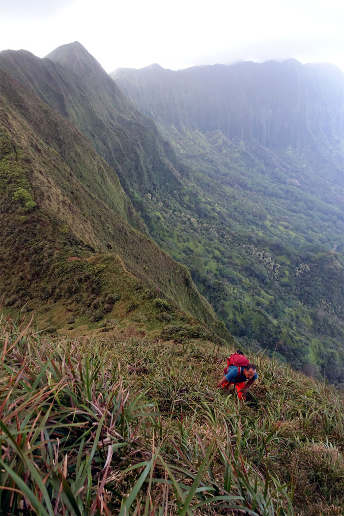
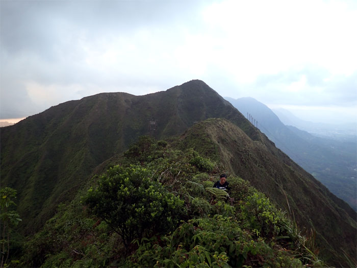
Trail
Making our way to the Chimney.
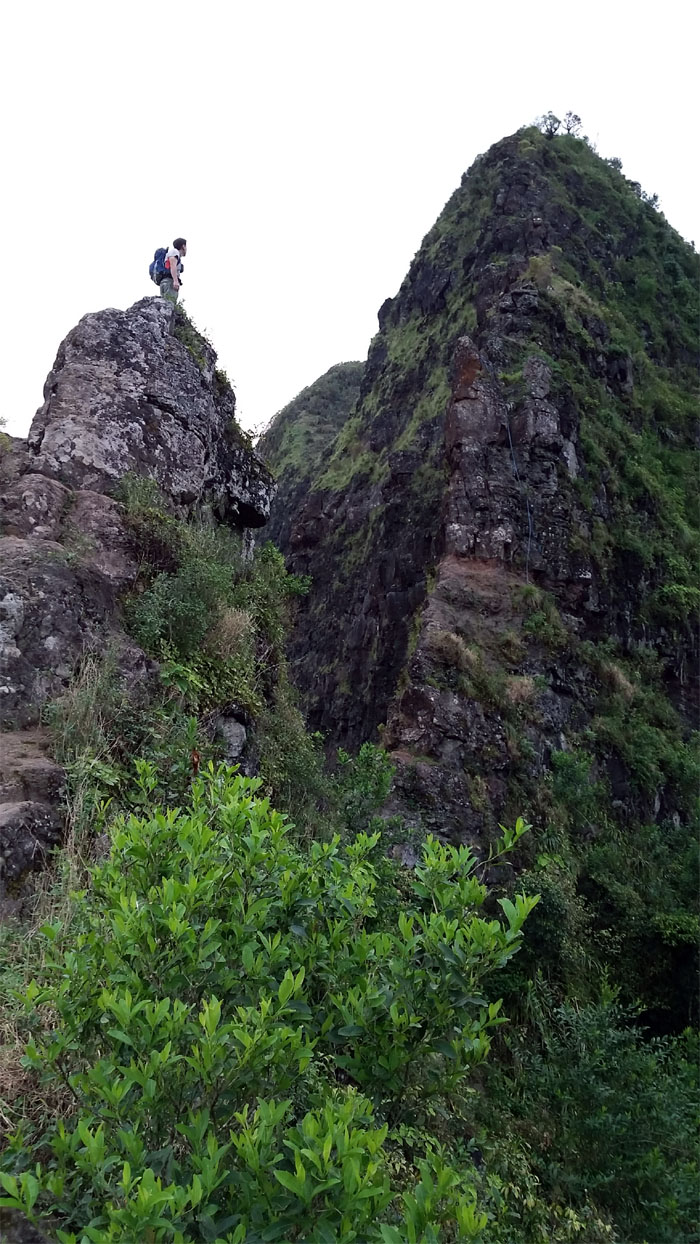
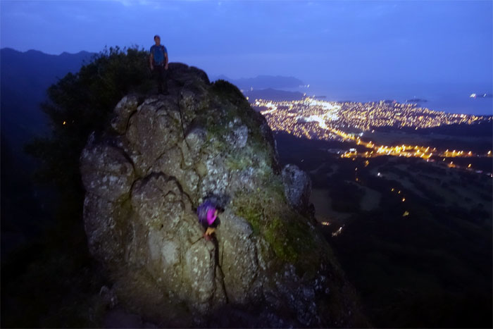
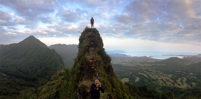
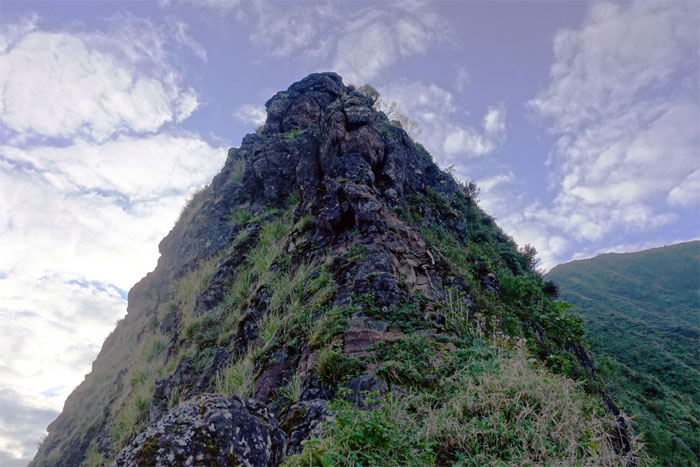
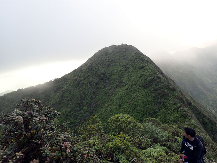
The Nipple
Admiring the view. Photo by Matt Vidaurri.
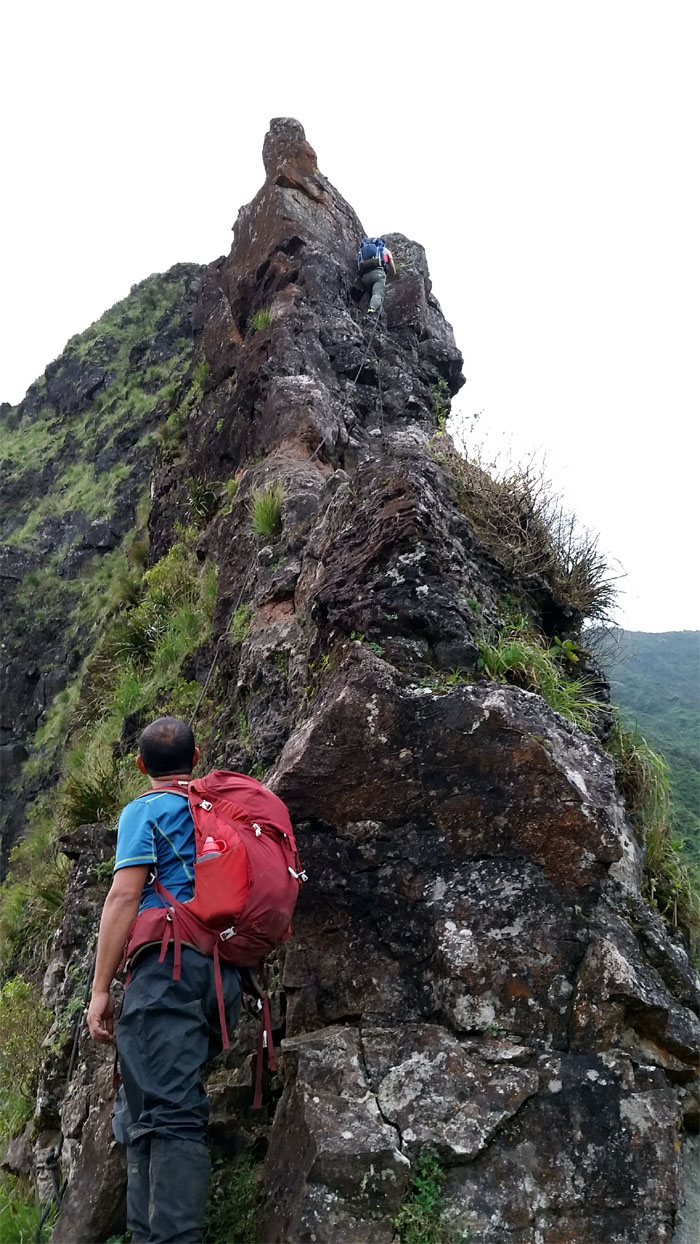
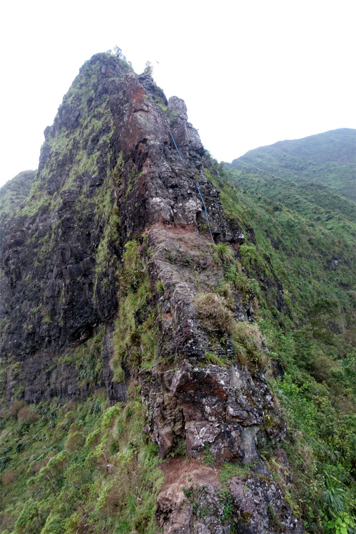
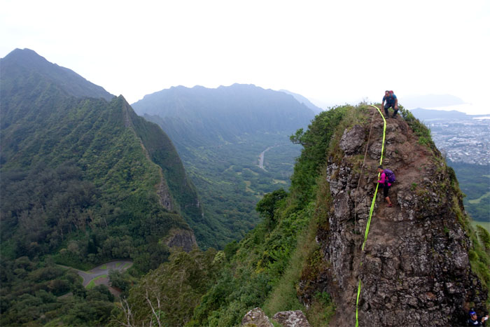
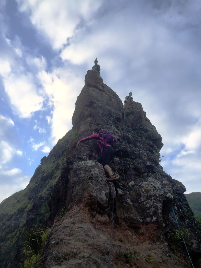
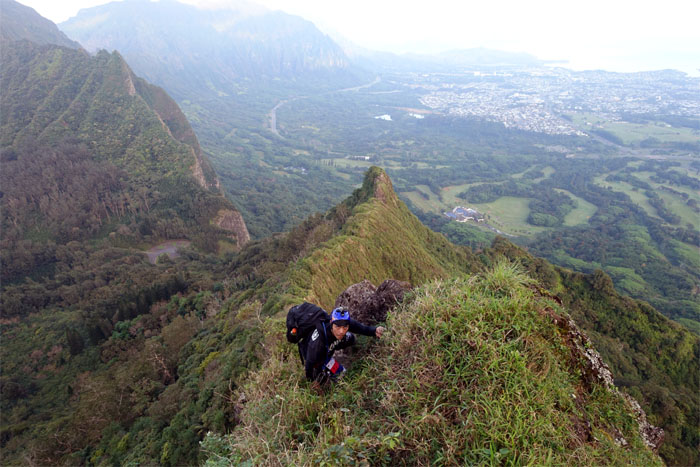
The Chimney
From this angle, going up looks like a walk in the park. All about angles. Photo by Matt Vidaurri.
Looking up
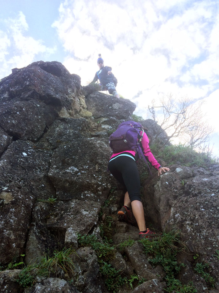
Everybody waiting their turn. Photo by Jose Luis Delaki.
The Chimney
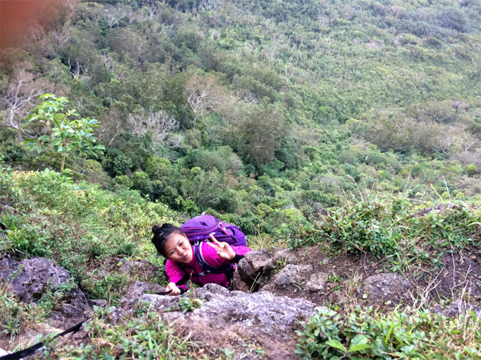
Gen making her way up. Photo by Jose Luis Delaki.
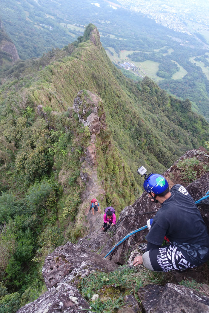
The Chimney
So many shiny new ropes. Which ones to use? All ropes are suspect and should be treated as such.
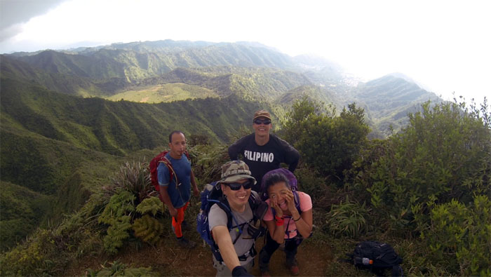
The Chimney
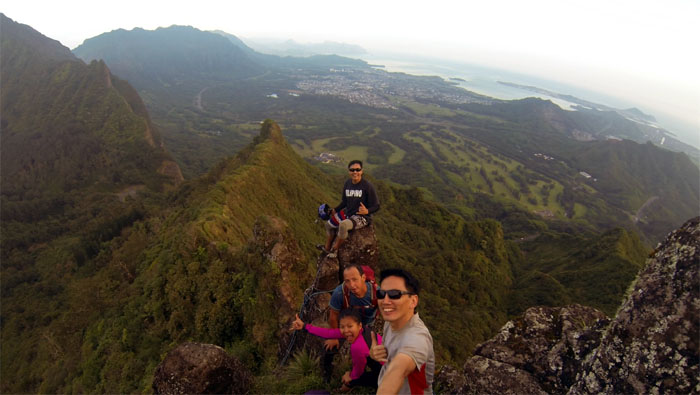
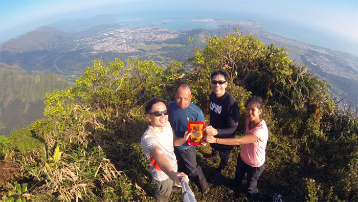
Group photo at the Chimney, left to right: Matt, Jose, Gen and myself.
Trail
More climbing ahead.
Trail
Matt making his way to the contour section. Climb or contour?
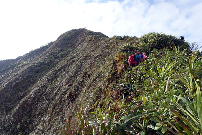
Rock contour
Gen contouring around the rock. This is the same area where another hiker fell 300′ and survived to hike another day.
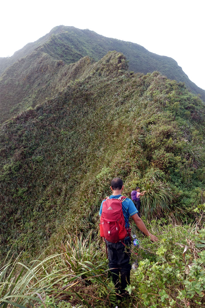
Trail
Grab that tree! Grab that rock!
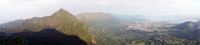
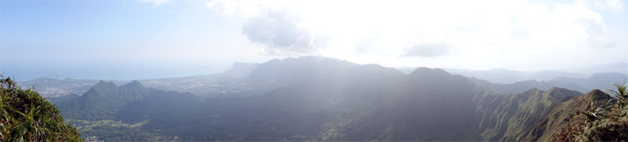
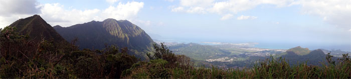
Panoramic view
Click here for the larger image.
Trail
All the hard parts behind us. Cruising on the KST.
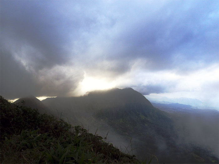
Olomana
The sun breaking over Olomana and Kailua.
Trail
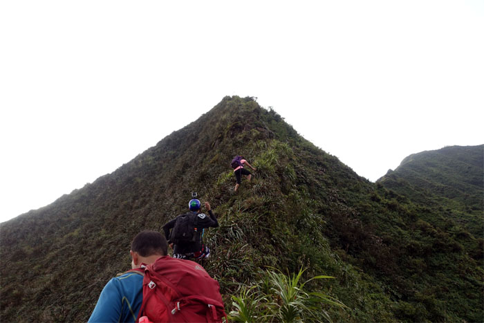
Abundant uki grass that we used to pull and move ourselves up on the ridge.
Trail
Matt coming up the ridge with stunning Windward views behind him.
Trail
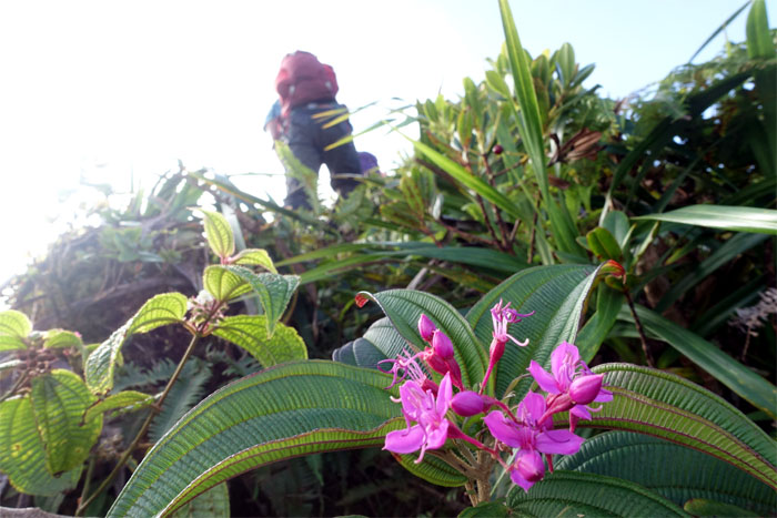
Splash of color on the ridge.
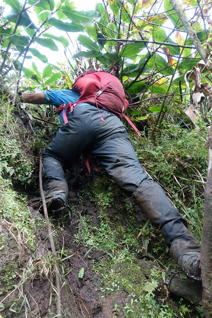
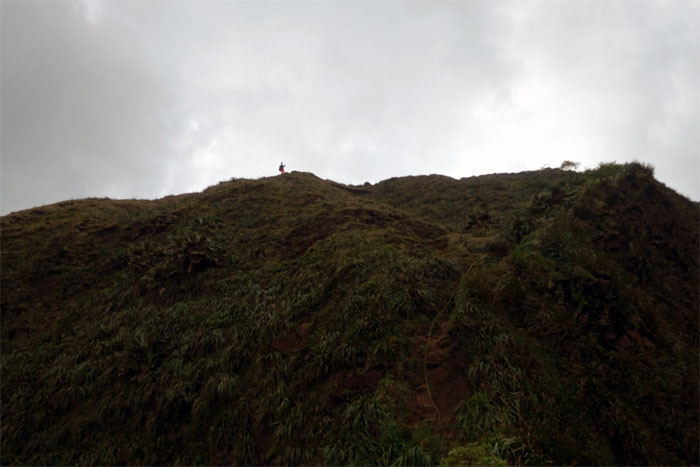
Mud wall
The mud wall had turned into mud steps. When trails become popular, ropes and increased erosion in the form of handholds and footholds shows up. A good and bad thing.
Trail
Almost there.
Piliwale junction
Matt at the Windward spur ridge junction, named after Silver Piliwale who pioneered the trail back in the 1980s.
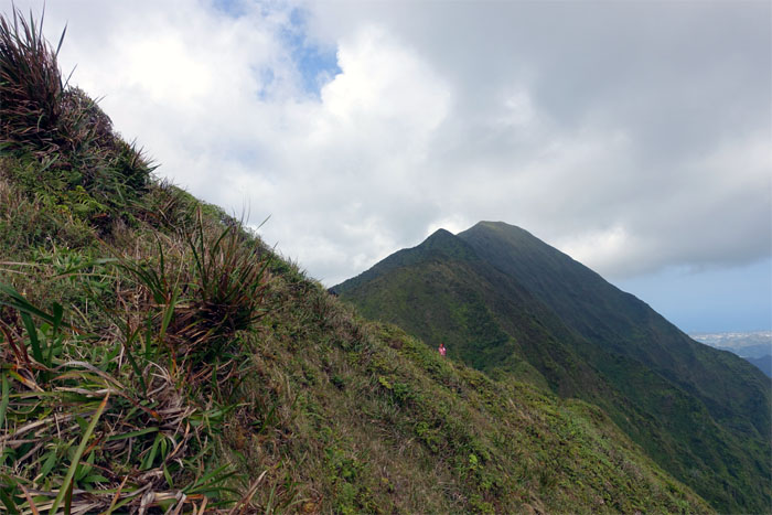
Konahuanui
Sharing a bag of tasty beef jerky at the 3,150′ summit.

Trail
We soon headed to the other peak or “testicle” of Konahuanui.
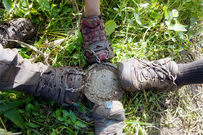
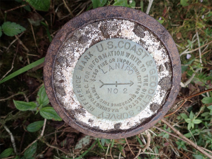
K2
Geodetic mark that was emplaced back in 1927 and used for triangulation surveys.
Panoramic view
Click here for the larger image.
Trail
Gen and Jose making their way down to the saddle.
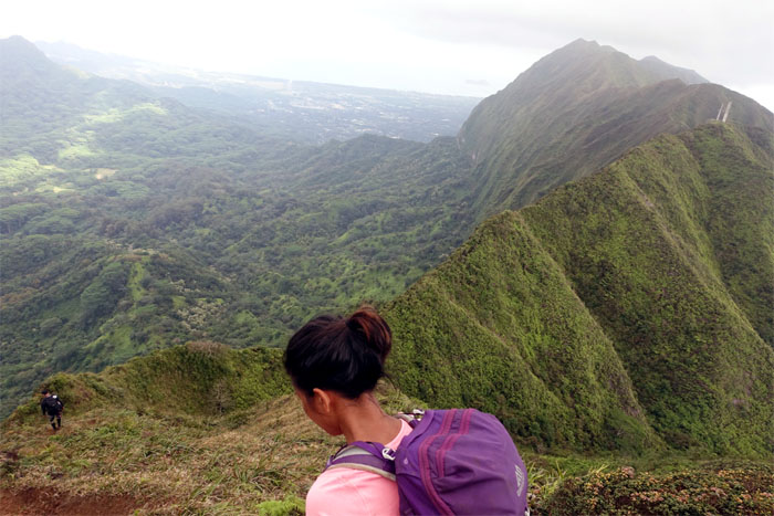
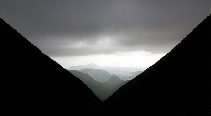
Looking back
We left the twin peaks of Konahuanui behind us as we descended down from the highest points on the Ko’olau Mountains.
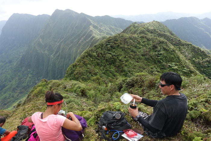
Lunch spot
Who brings hot soup and rice to a hike? Something else was getting hot. The weather.
Manoa Middle
We ran across two other hikers who had come from Ka’au Crater and were going down Manoa Middle.
Trail
Jose passing the sedan rock section of the trail.
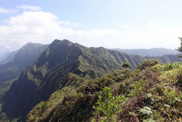
Mount Olympus
Group photo at the top of Awaawaloa with Ka’au Crater in the background. It was unusually clear. And hot.
Trail
The heat had started to slowly roast us from the inside and we collectively gave up on our goal to reach Kuli’ou’ou. Dwindling water supplies had a say in that too. Somebody kept saying Makapu’u.
Trail
Jose coming down from Mount Olympus.
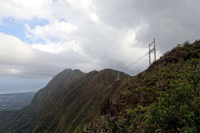
Trail
The twin power lines that mark Ka’au Crater.
Panoramic view
Click here for the larger image.
Trail
Looking out towards Ka’au Crater and town views. Photo by Matt Vidaurri.
Tourists
Hikers with a European twist coming down the trail that looped around Ka’au Crater. We also met some channel swimmers who were taking a “break” hiking.
Trail
Jose pointing out the big hill that we still had to climb.
Trail
What goes down …
Trail
… must go back up. It was a steep hill.
Kainawa’aunui
We took a short break at the 2,520′ summit.
Trail
Clouds and the attendant cooler temperatures rolled into the mountains. Somebody repeated Makapu’u.
Trail
Matt looking back at the summit and Mau’umae Ridge.
True Lanipo
Geodetic marking the 2,600′ summit of Lanipo.
Trail
Gen making her along the cloudy ridge.
Trail
Making the steep descent down towards the row of power lines on the ridge.
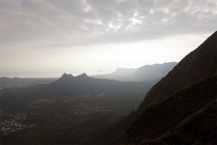
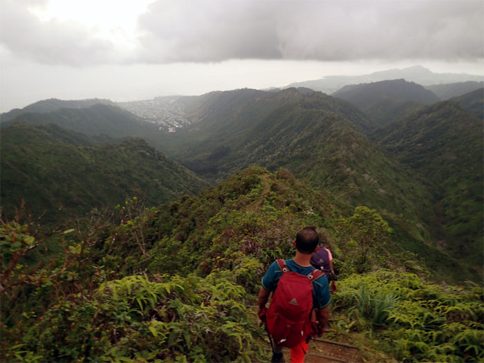
Lanipo Windward
Looking back at the ridge that connects to Aniani Nui Ridge and Olomana.
Trail
Almost there.
Trail
Matt coming up the trail with the summit of True Lanipo behind him.
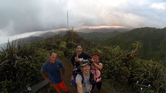
Wiliwilinui Summit
Group photo at our last summit on the Ko’olau Range.
Trail
It was all downhill from here.

Swing
I found out that a girl named Tina put up the original swing here. Don’t even know if this is the original swing anymore.
All pau
Our hike was over. Now all we needed was a ride since we came down a different trail than originally planned. Who can we call?
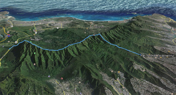
GPS Tracks
While our hike did not end as originally planned, it was still quite a day that covered 7.56 miles with great company. Shout out to Justin for picking us up and shuttling us back to our cars. Post hike meal at Thai Valley Cuisine. Tasty tom yum soup. Matt’s treat.
{ 0 comments… add one now }