
I decided to roam the mountains by myself today.
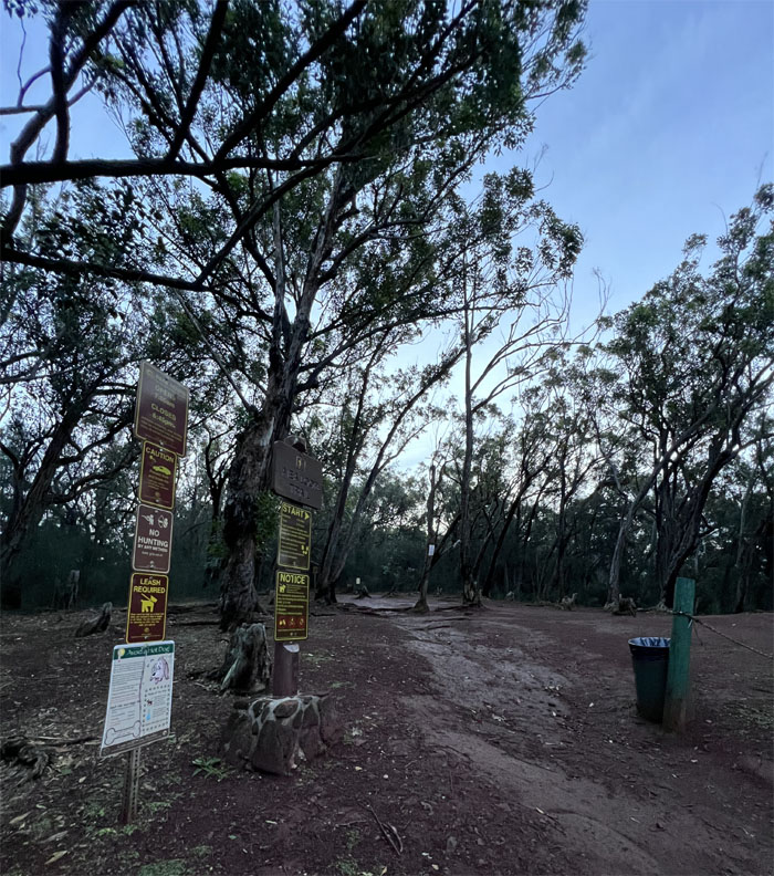
Aiea Loop Trail
Thanks to Aileen for dropping me off to the nearly deserted loop trail where I only ran across two trail runners.
Aiea Loop Trail
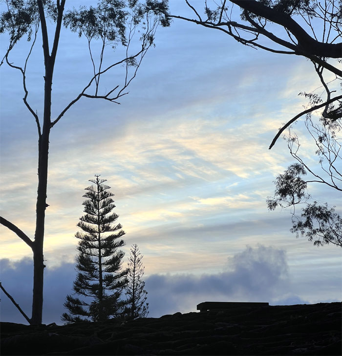
The winds were howling today, the trees in the distance were bending and swaying like so many hula dancers.
Aiea Ridge Trail
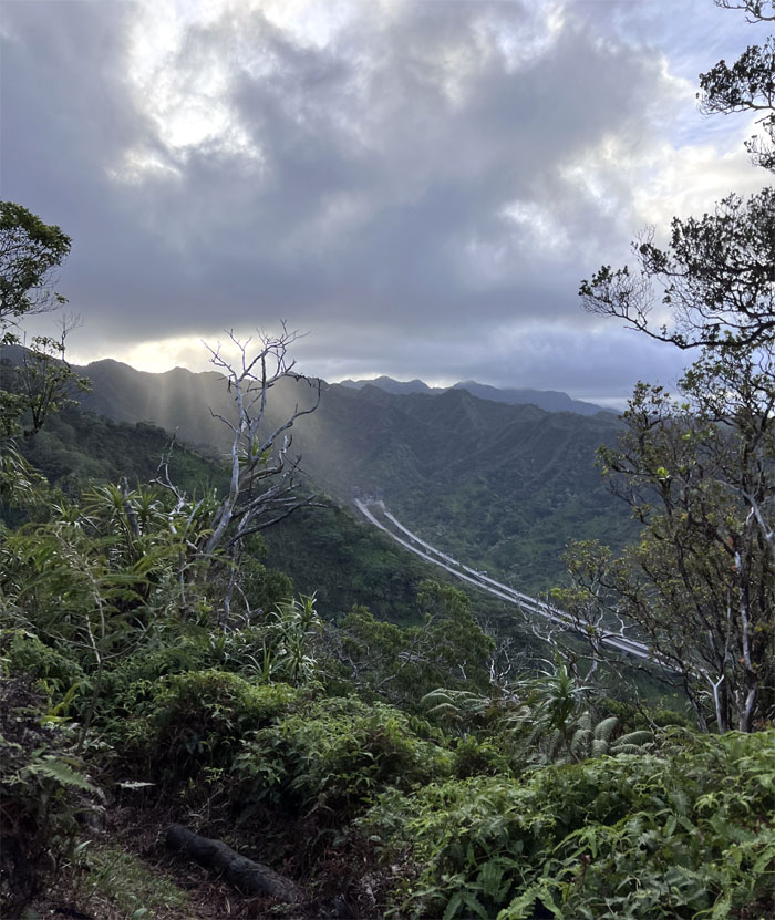
Looking at the highway considered an engineering wonder by its admirers and a cultural blight by some native and local groups. I was just appreciative of the sunrise spilling over the Ko’olau Mountains.
Aiea Ridge Trail
Checking out my six.
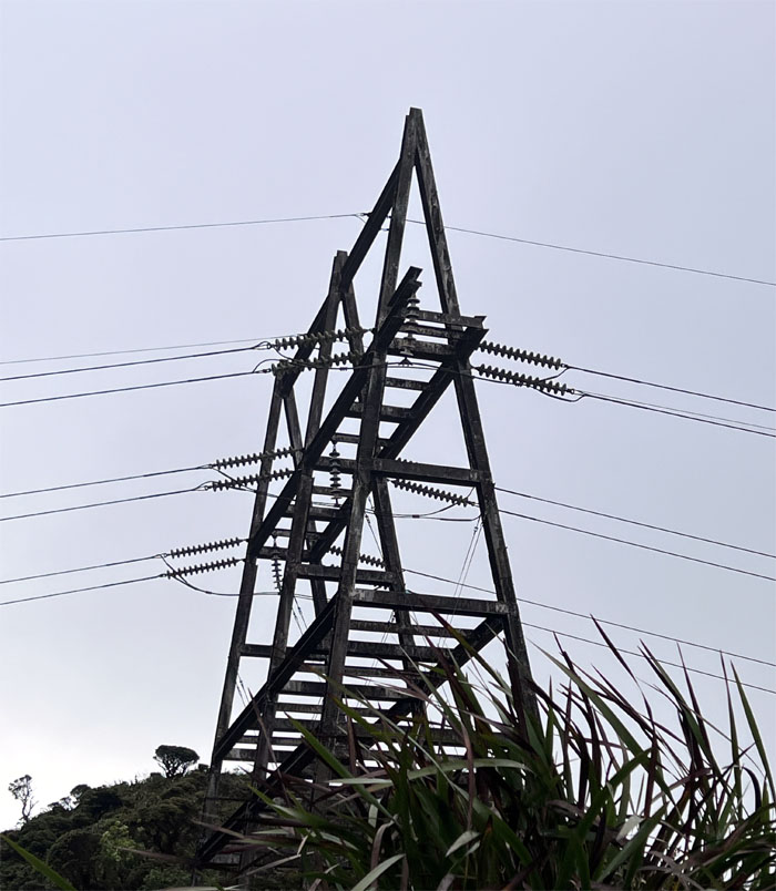
Aiea Ridge Trail
Approaching the first set of power line towers that sits at the base of the summit.
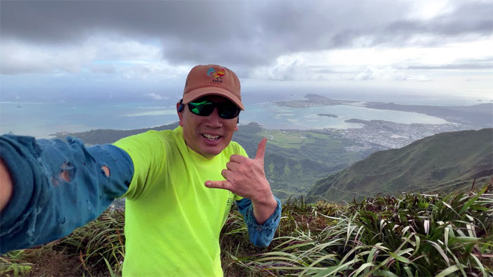
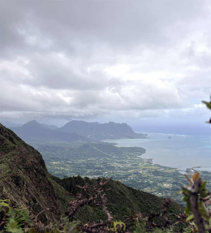
Aiea Summit
Panoramic Windward and Leeward views from the 2,805′ summit. The winds were howling something fierce, so I took off my cap as I had already made my involuntary donation a couple weeks ago.
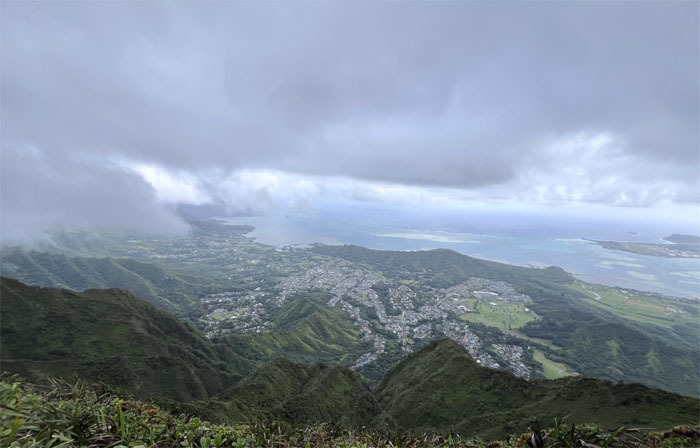
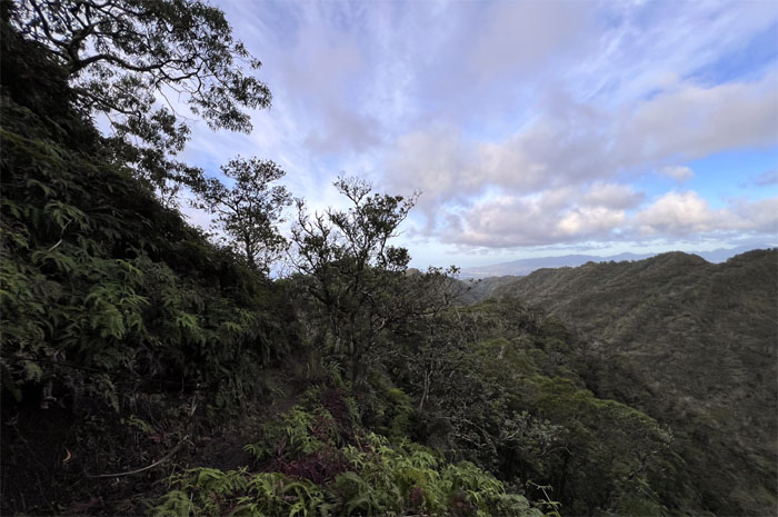
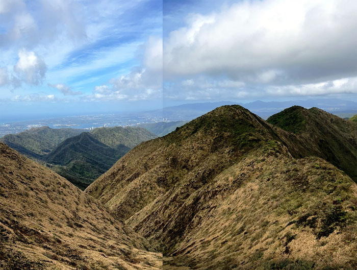
Ko’olau Summit Ridge Trail (KSRT)
Following the flanks of the mountains seemingly spill down towards the verdant oasis’s and urbanized pockets of humanity.
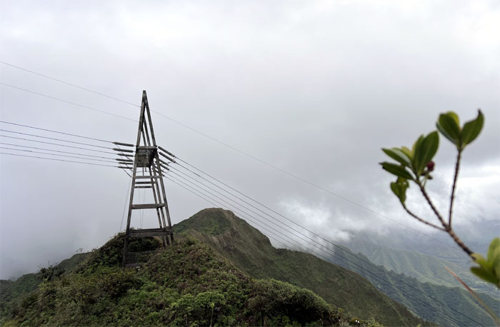
KSRT
Approaching the second set of power line towers on the ridge line.
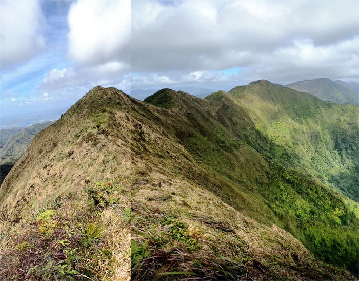
KSRT
Northern views.
KSRT
High winds kept the clouds at bay for the most part, which afforded valley views to the Leeward side.
KSRT
Enjoying a relatively flat section of the mountains which gave me a brief respite from the cardio hills. The winds however was giving no breaks.
Waimalu Meadows
Climbing to the last major peak on the hike today and looking down into the magical and mythical meadows.
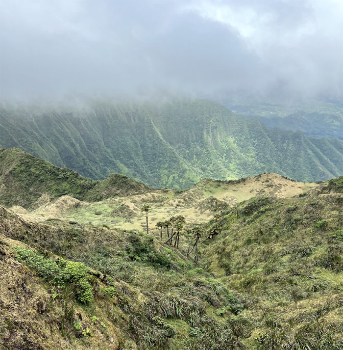
Waimalu Meadows
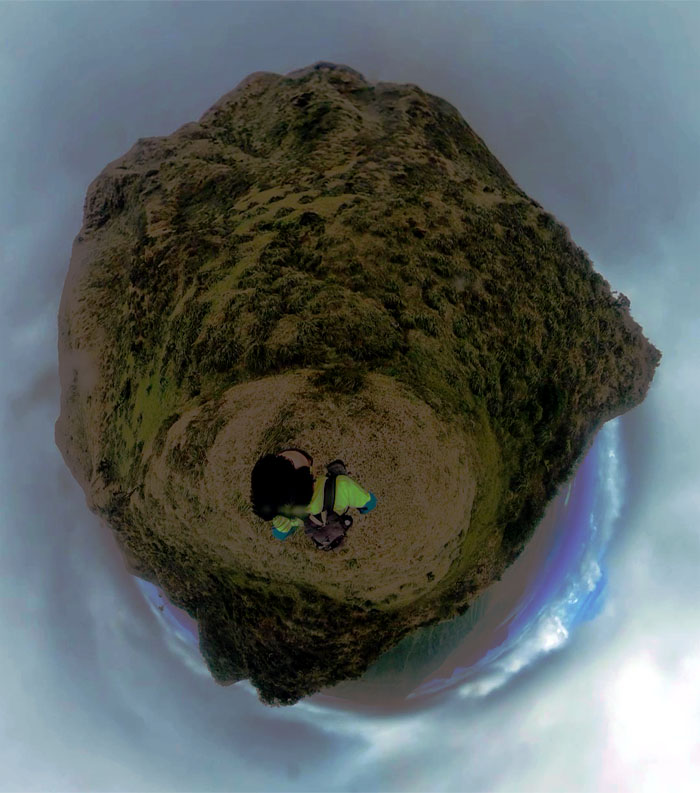
360 view of the largest grassy spot on the Ko’olau Mountains.
KSRT
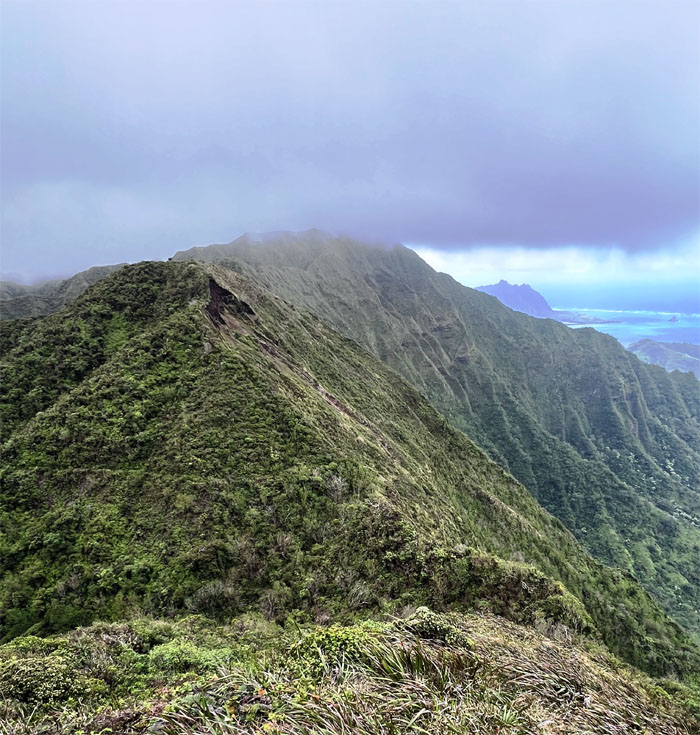
Back on the ridge line again as the landmark landslide loomed ahead.
Waimano Summit
Saddle summit selfie at the 2,160′ spot that looks out over Waihe’e Valley.
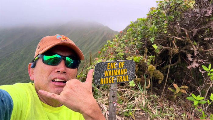
Waimano Ridge
Going down the path that Stuart Ball calls “the best preserved of the graded Ko’olau ridge trails built in the 1930s by the Civilian Conservation Corps.”
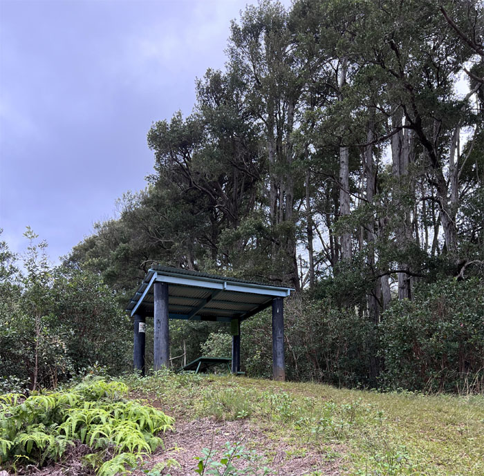
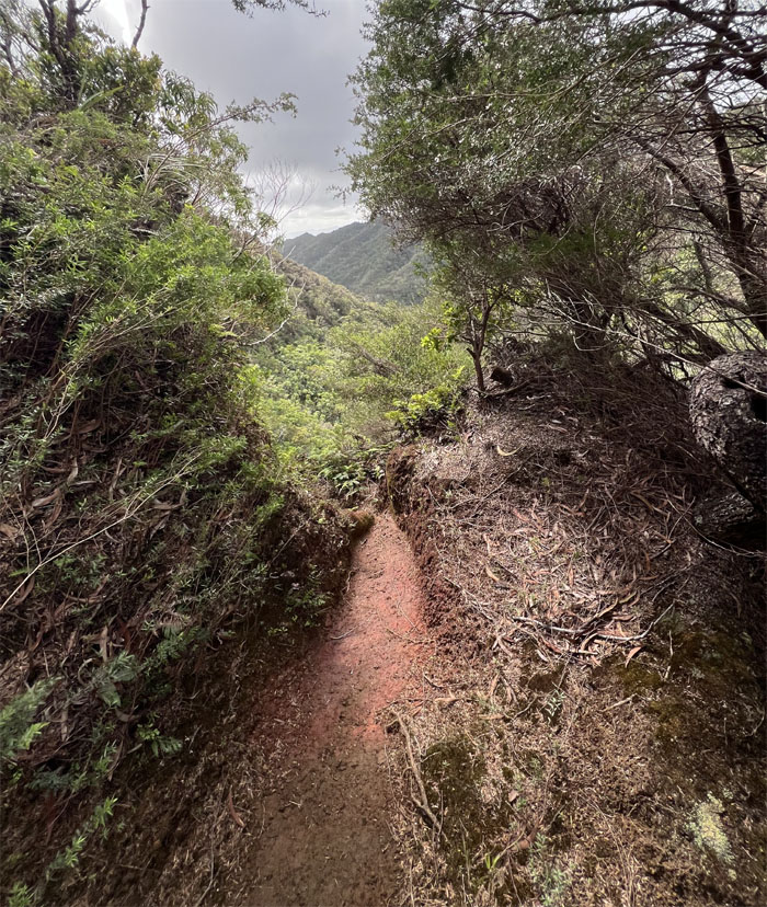
Waimano Trail
I passed all the switchbacks, groves of Australian Tea trees, stream crossings, irrigation ditches and tunnels before arriving at the picnic shelter. One more hour. When will it end?
All pau
Perfect timing as Aileen’s car rolled up just as I exited the trail. Mahalo!
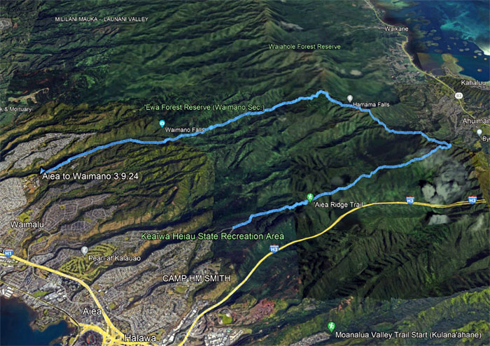
GPS Tracks
My time in the mountains covered over 14.3 miles that was made memorable by high winds that at times almost felt like it was trying to blow me off the ridge line. Post hike meal at Bravo’s as Anna Millers closed early. No pies for me.
Note: I have been made aware that some hikers have been using my blog as a hiking guide and getting lost on the trails. Please note that this blog was made to document the hike for the crew(s) that did it. That is why some of my comments will seem to have no relevance or meaning to anybody outside of the crew(s) that hiked that trail. My blog was never meant as a hiking guide, so please do not treat it as such. If you find inspiration and entertainment from these hikes, that is more than enough. If you plan on replicating these hikes, do so in the knowledge that you should do your own research accordingly as trail conditions, access, legalities and so forth are constantly in flux. What was current today is most likely yesterdays news. Please be prepared to accept any risks and responsibilities on your own as you should know your own limitations, experience and abilities before you even set foot on a trail, as even the “simplest” or “easiest” of trails can present potential pitfalls for even the most “experienced” hikers. One should also always let somebody know of your hiking plans in case something doesn’t go as planned, better safe than sorry.
{ 0 comments… add one now }