
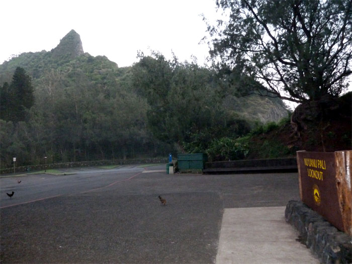
This was our third and successful attempt at hiking Pali Puka to Lanihuli. The previous two attempts were rained out. I picked up my friend from the top of Alewa Drive and we found ourselves at the Pali Lookout as the chickens were greeting the new day as we were to start our longest hike to date.

Panaromic view of Kaneohe
We entered the trailhead where the tour buses park on the left, climbing over the broken section of the rock wall to start our climb through the bamboo grove. We quickly gained elevation to see a sweeping view of the Windward side of the island. Click here to see the original and much larger panoramic image.

Pali Puka
One can easily overlook the Pali Puka, a natural hole in the mountain, as you have to climb down from the ridge right before the towering peak, to get to it.

The Peak
We contoured to the left of the peak, hauling our butts up to the ridgeline with the aid of an old electrical cord. You actually see a wide assortment of assists on the trails on Oahu ranging from electrical cables, nylon straps, parachute cord and ropes. Whatever works is my motto!

The fun begins
The fantastic views of the Windward side popped up after we regained the ridgeline. That’s the main reason I love these ridge hikes, is the fantastic views afforded to those that make the effort to get out there.

The trail to Lanihuli
We started climbing the narrow ridge trail towards Lanihuli, the trail was thickly covered with vegetation which proved to be a blessing and a curse. Blessing as it seemed that it provided some sort of false security on the narrow ridge and a curse as you had to constantly contend with pockets of thick vegetation which seemed to more hinder than help. Click here to see the original and much larger panoramic image.

Puu Suicido
I believe this part of the ridge was named Puu Suicido by some other hikers due to the “toothy” look of the ridge that has to be climbed. Luckily, there was a rope that we used to climb down the backside of the “tooth”.

Looking back towards Konahuanui
Looking back at the ridgeline we had just climbed. The weather was perfect as we saw the top of Konahuanui, which is usually cloaked in clouds.

The "W"
Scrambling towards the “W” or “Donkey Kong” which some hikers consider the “True Pali Notches.”

Donkey Kong
The “W” wasn’t particularly hard as we climbed down to the left side of the first notch and climbed over the last two notches. Then we came to the “anvil rock” where a rope was tied around this piece of rock that didn’t look particularly stable. Ahead of us, the ridge had eroded to the point where it was concaved and the only way around it was to climb down the rope from the anvil rock to the left side of the mountain. After we got to the bottom of the rope, we had to perch precariously on some clumps of grass as we looked for the non-existant trail. After resting a bit, we finally pulled ourselves up to the ridgeline. Thank goodness for all that vegetation as there was no rope to help us get up to the ridgeline.

Top of Lanihuli
We arrived at the top of Lanihuli at an elevation of 2,700 feet. Clouds rolled in and out, partially obscuring the view, but what a great view it was.

Clear and Cloudy
We started to head down and it looked like the windward side of the mountain was holding the clouds at bay from rolling over to the town side.

Headed down
We came across a trunk that had almost a dozen colored ribbons that marked the junction to turn left towards Alewa.

Forest for the trees?
As we started our descent, it seemed to go on forever. We thought we took the wrong turn down, as the sun soon started to set and the end of the trail was nowhere in sight. We ran across what looked like a camping site with a couple pitched tents and thought we might have to make use of it that night.

What happened to the sun?
Half hour after the sun had set, we heard dogs barking and knew civilization was near. We then came across an enclosed fence and followed it to the right to an unlocked side gate where we found our car. This was the longest in duration hike that we have done to date. It took us almost twelve hours to finish. I didn’t think it would take so long after reading other hikers blogs. Either we were very slow that day or somehow took a wrong turn. But we finished it safe and sound.
{ 2 comments… read them below or add one }
I wish I had heard of this hike when I lived in Oahu. Looks pretty challenging and fun. Thanks for sharing.
Aloha Jeff,
Glad you enjoyed the post. If you ever come back, she’ll still be here!
Mahalo