
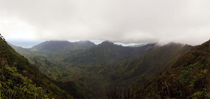
Decided to combine a family friendly hike with a hike to a Windward Valley today. Of course, the family didn’t show up.
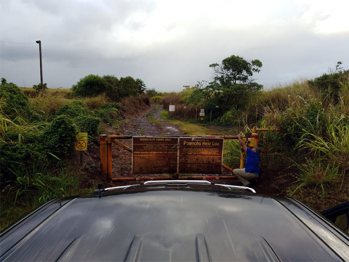
Poamoho Road
We arrived in the central valley to find out that the parking next to the road is now blocked off. Glenn had to drive into town to park somewhere that was not chronic friendly and Brian ferried him back to the road. Somebody was muttering that it was my turn to watch Glenn. I didn’t get the memo.
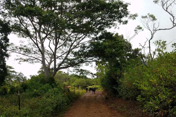
Cow Safari
Bouncing up the road, we scattered assorted sizes of domesticated ungulates that stampeded back into the barbed wire bushes. Thankfully they were not exercising their “stand your ground” laws like on past visits.
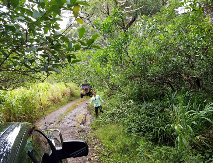
Landscaping
Ferlino was going to town whacking off the protruding branches. This is not your back yard
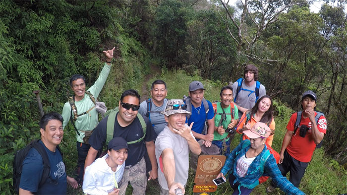
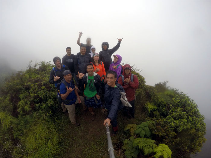
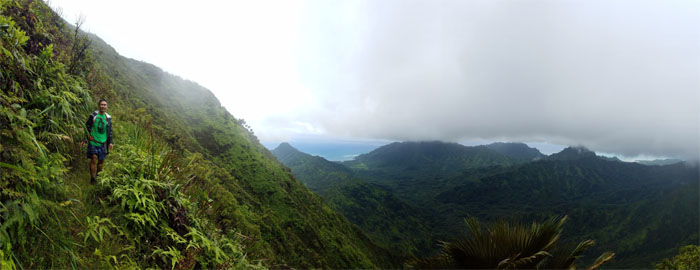
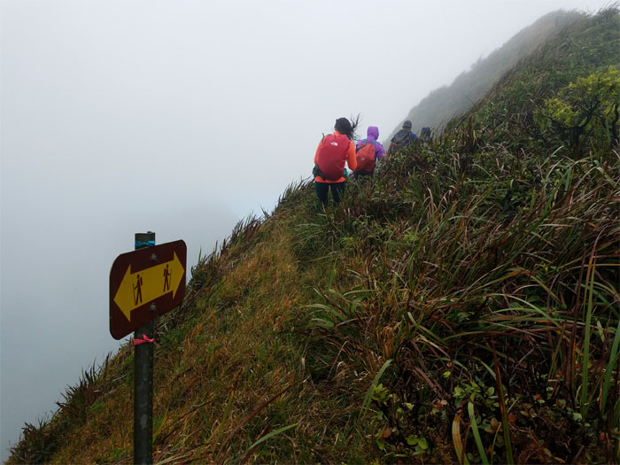
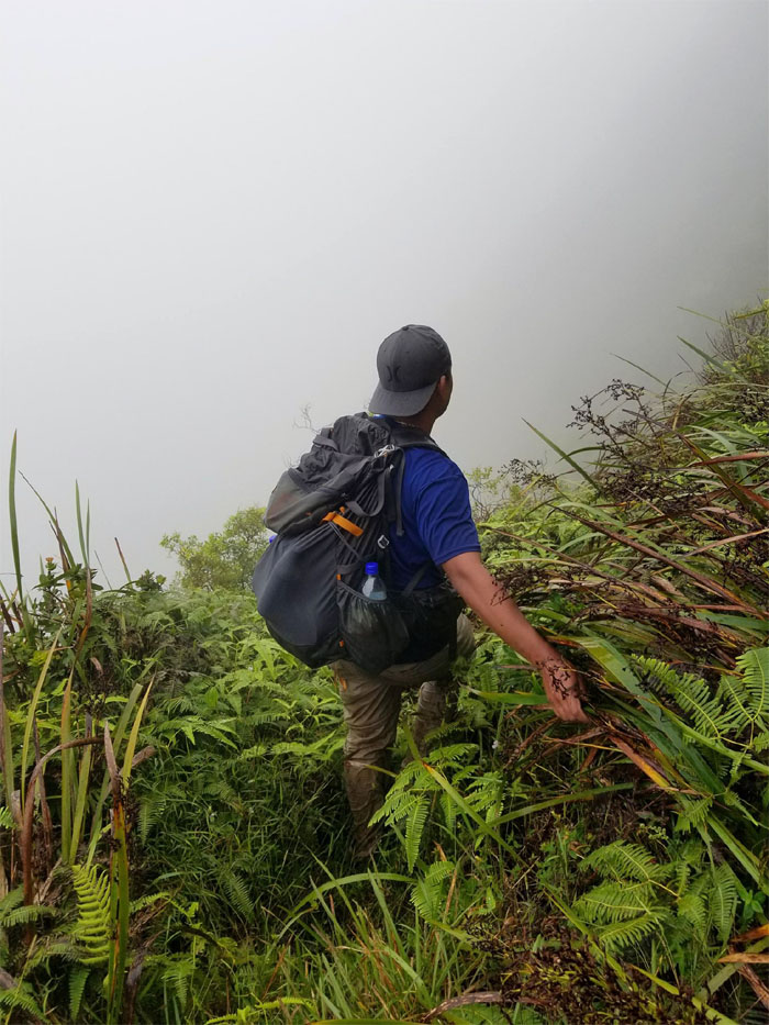
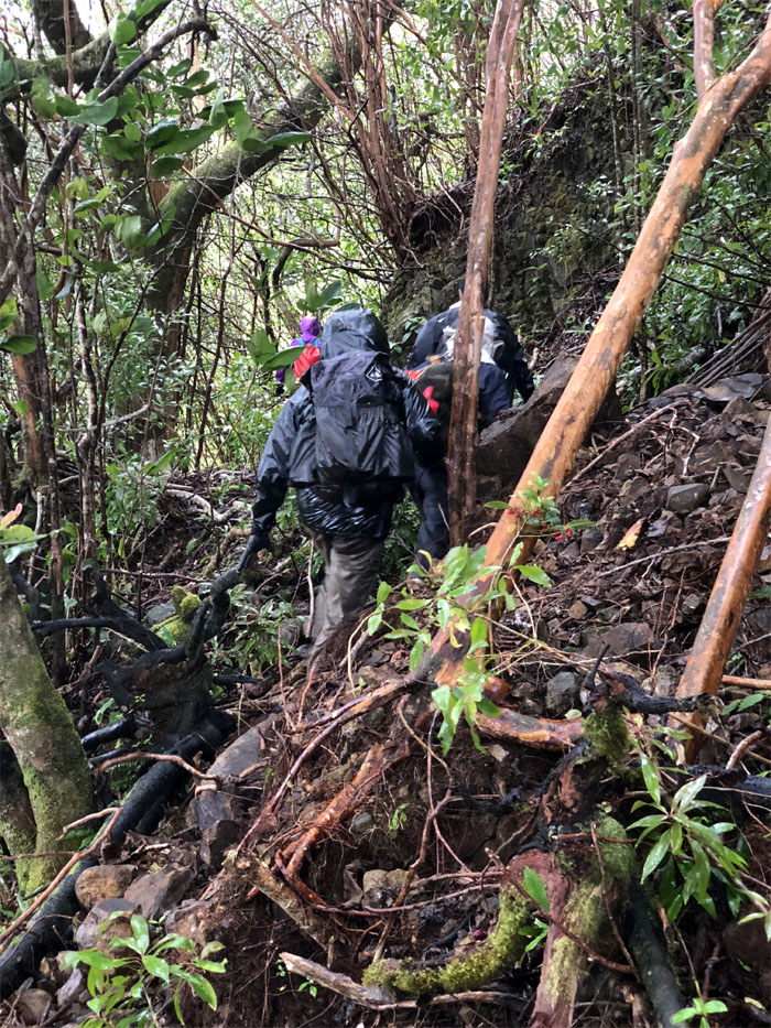
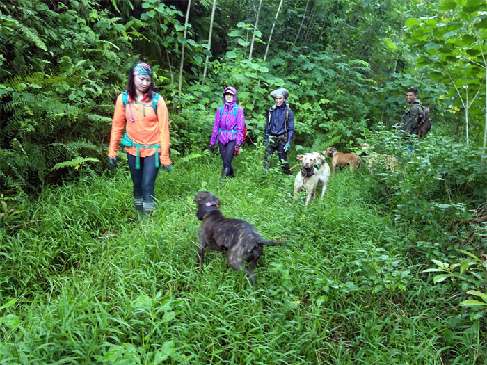
Trailhead
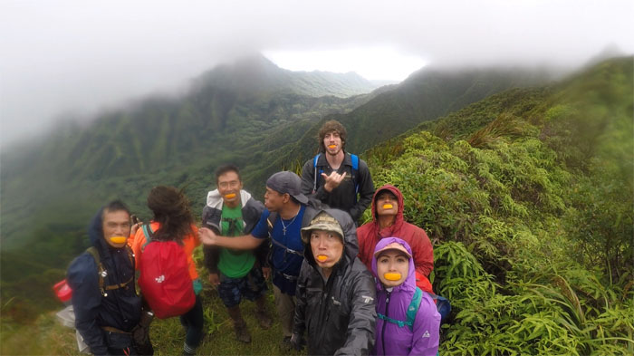
Thanks to RJ for dropping us off at the trailhead, sorry about your truck bottoming out on several spots. Group photo left to right: Aaron, Ferlino, Naomi, Brian, Glenn, myself, Lopaka, Dale, Sean, Analyn, Anne and Chris.
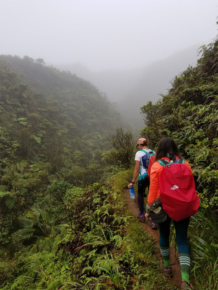
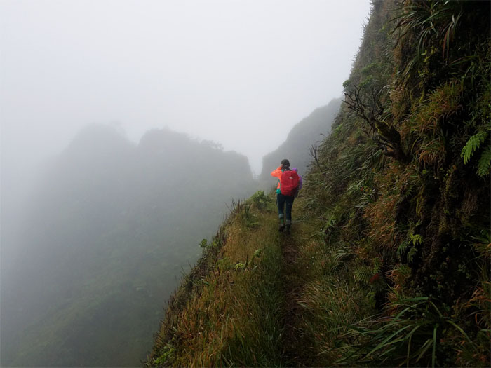
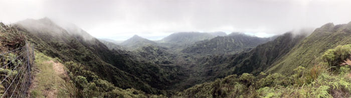
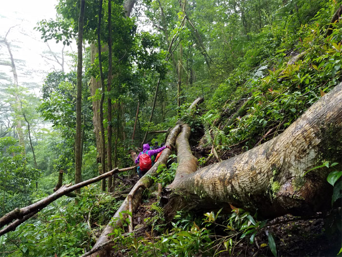
Poamoho Trail
Heading off on the graded trail as the summit in the distance looked somewhat promising for spectacular views.
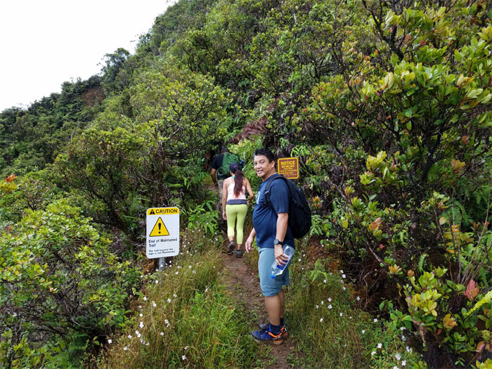
Poamoho Trail
The distinction between maintained and unmaintained has become somewhat blurred over the passing years due to recent trail maintenance.
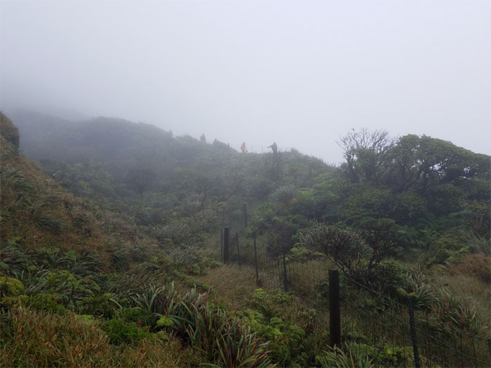
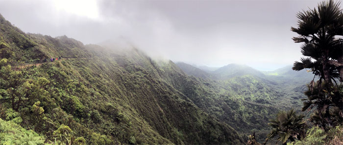
Poamoho Trail
Meeting up with the fence as the clouds started to roll in at the top. Looking a lot less promising. Photo by Anne Fai.
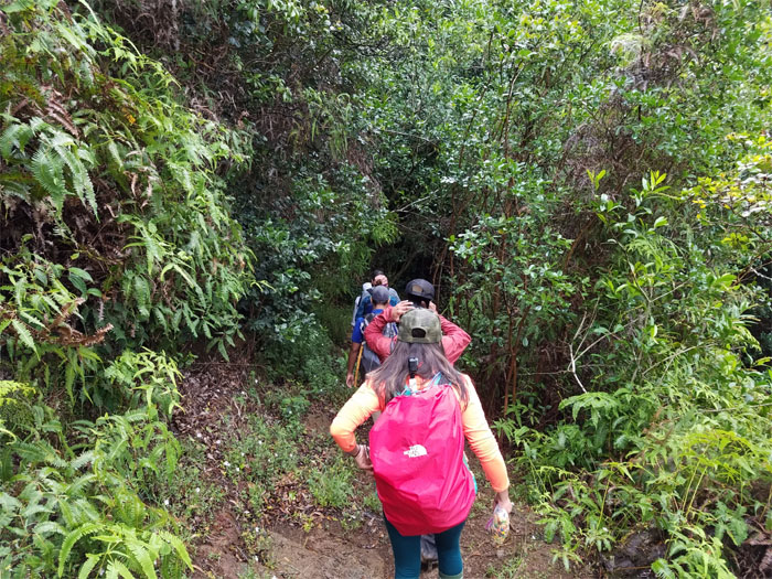
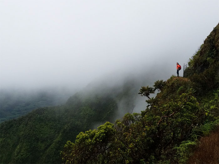
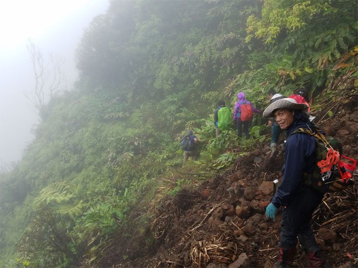
Poamoho Trail
Analyn and Anne heading into the gulch, where the now socked in summit was a mere 15 minutes away! Photo by Sean Bingham
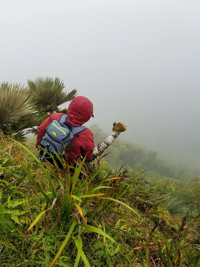
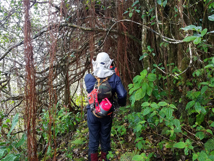
Cline Memorial
Seeking temporary shelter from the battering rain and wind. Photo by Ferlino Carinio.
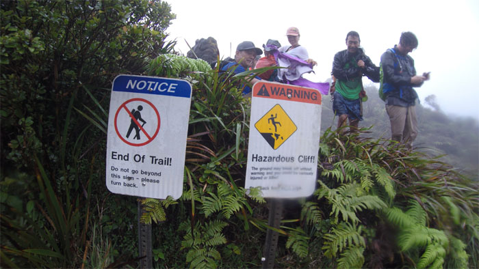
Poamoho Summit
Our soggy group photo by Ferlino Carinio at the no view summit.
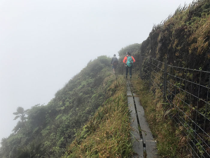
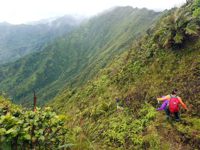
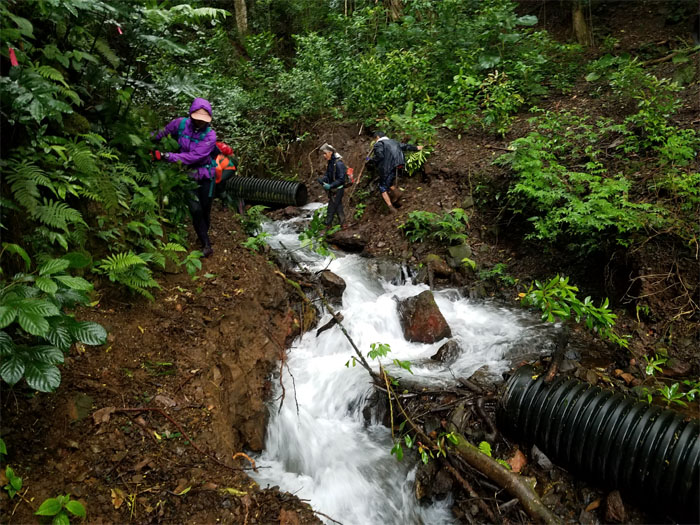
Ko’olau Summit Trail (KST)
Board walking our way to the cabin. Photo by Chris Bautista
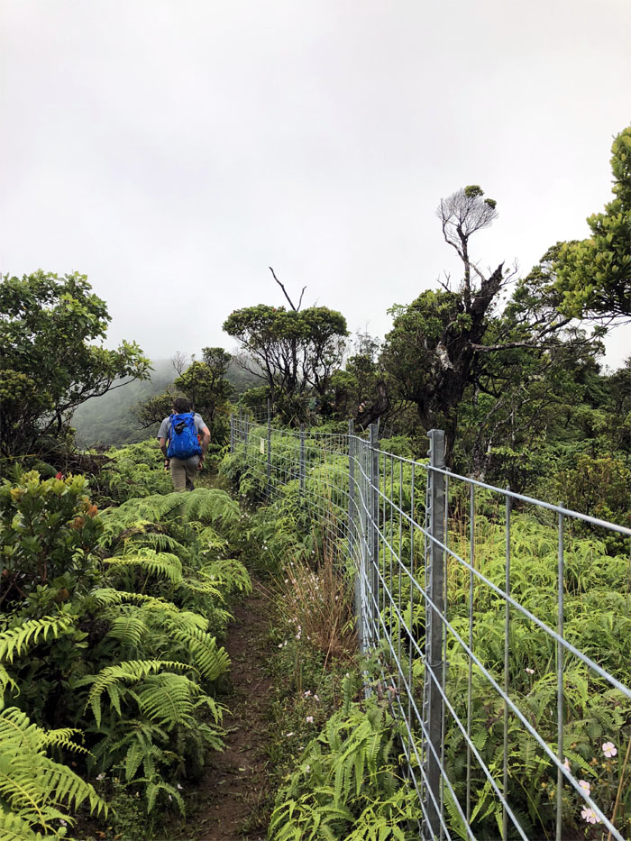
KST
Fencing our way to the cabin.
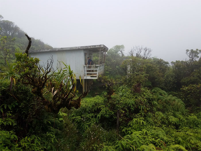
Poamoho Cabin
Our temporary respite from the rain showers that were sweeping the Ko’olau Mountains.
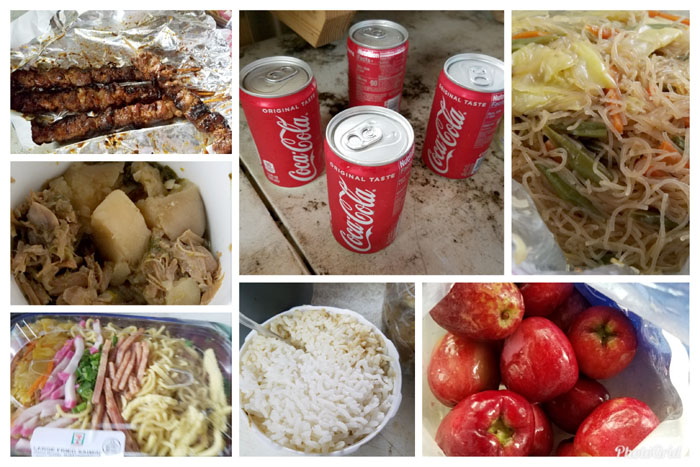
Cheap Eats
What stays at the cabin, gets eaten at the cabin. Thanks to Analyn, Anne, Chris and Ferlino for bringing the grinds and drinks. All that were missing was Guy Hagi and Augie T.
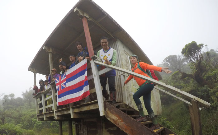
Poamoho Cabin
Our last group photo together as Aaron, Brian, Glenn and Naomi returned back down the Poamoho trail. Photo by Ferlino Carinio
KST
Setting foot on the trail mainly built for pig hunters to access the mountains.
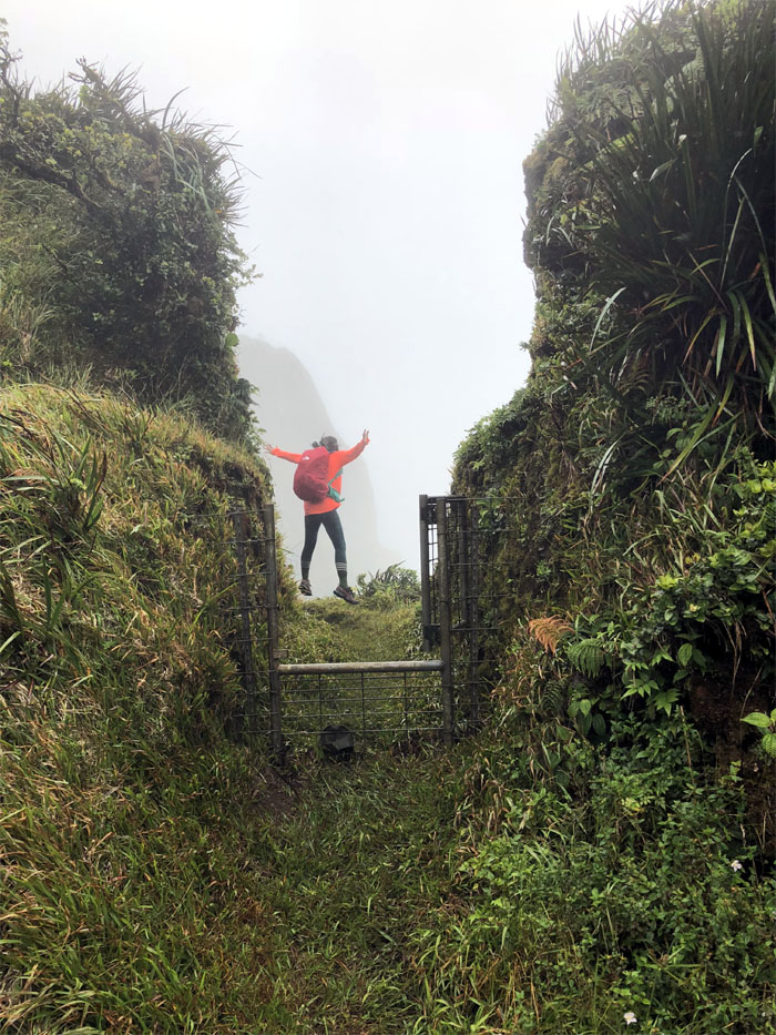
KST
Anne jumping for joy at the gate that briefly detoured to the Leeward side. Photo by Chris Bautista
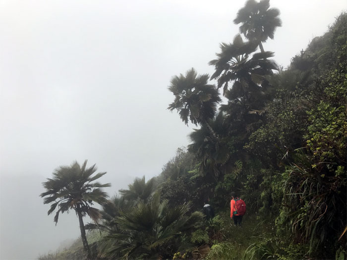
KST
Contouring on the carved trail through a copse of native loulu palm trees. Photo by Chris Bautista
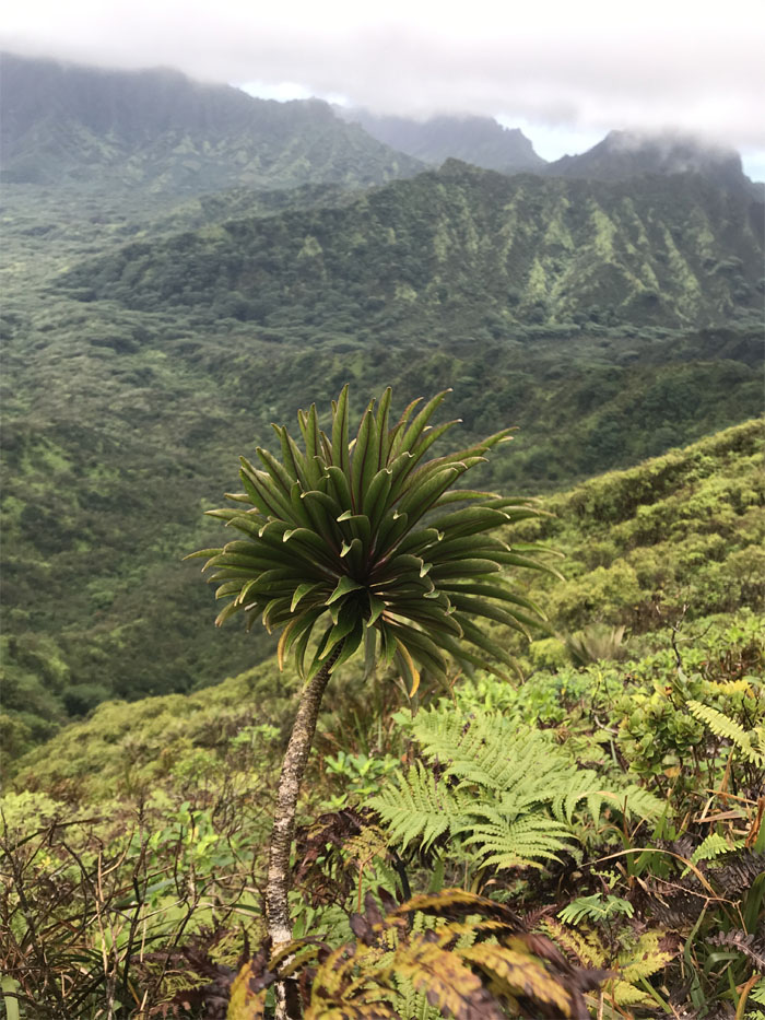
Pauao Junction
Pausing briefly at the junction that goes steeply down into Kahana Valley.
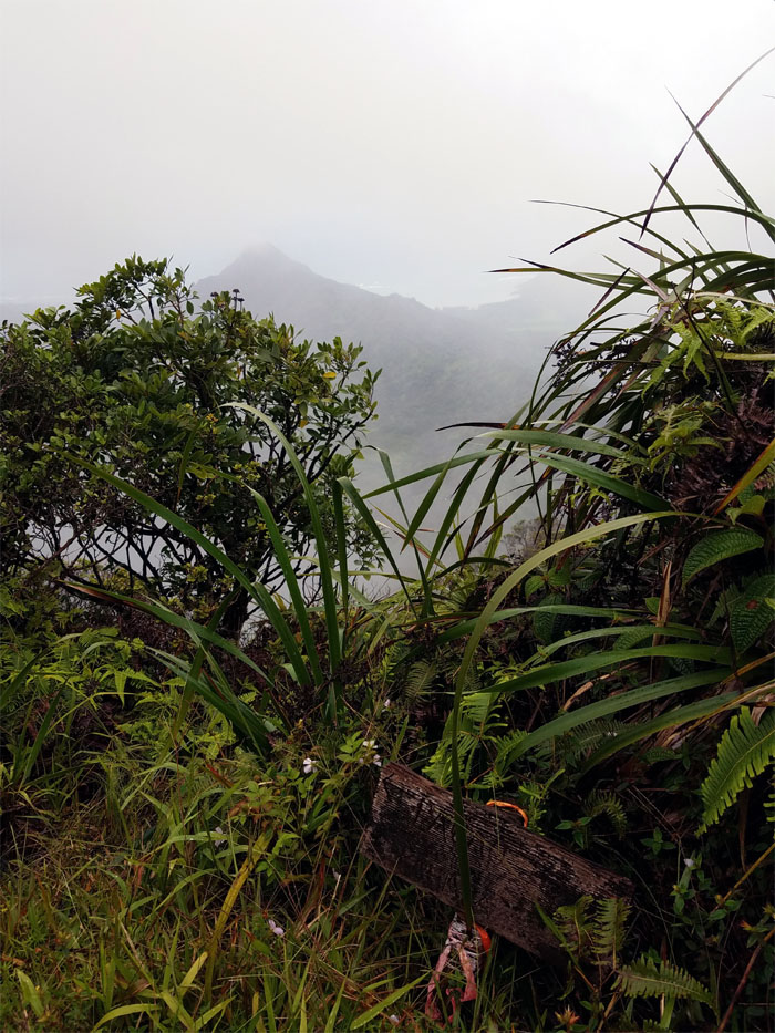
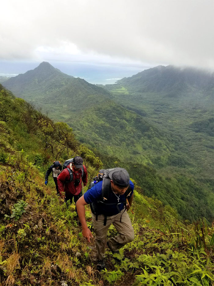
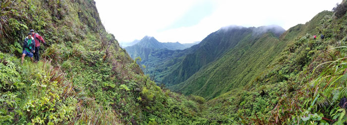
KST
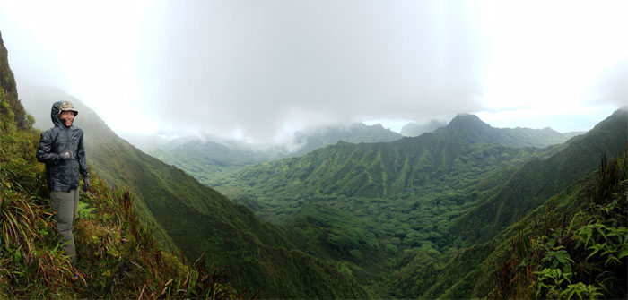
Looking back at the backdrop of Kahana and Ka’a’awa Valleys.
KST
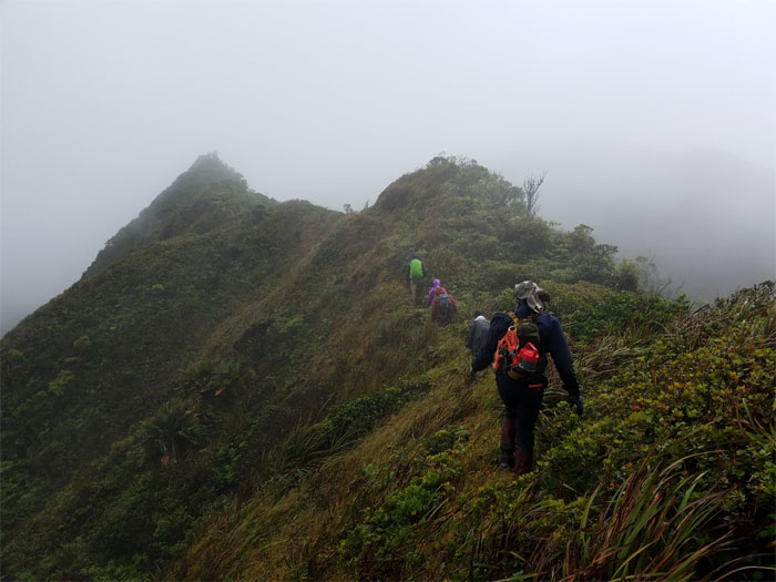
The trail slowly lost some elevation as we hiked on the flank of the Ko’olau Mountain Range.
KST
We saw several of these lobelia gaudichaudii? on the lower slopes of the trail. Photo by Chris Bautista.
KST
Gaining back some of that elevation. Photo by Sean Bingham.
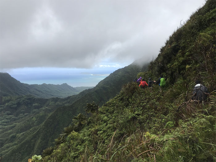
KST
Looking back as we soon met up with the fence against the backdrop of the cloud suspended valley views. Photo by Lopaka Hipperson.
KST
Hikers can thank the hard work of the Civilian Conservation Corps that built these trails back in the 1930’s that we still use to this day. Photo by Lopaka Hipperson.
KST
Anne about to round the bend in the fenced trail.
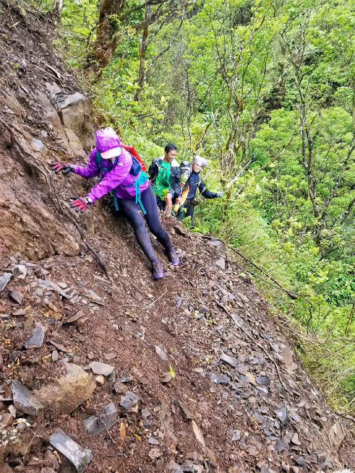
KST
Well, we have been hiking a little more than four hours, so perhaps it’s time to see a doctor. Perhaps he can also prescribe something for that green moss at the tip. Photo by Sean Bingham
KST
A pink ribbon on the hiking sign. Double reinforcement.
KST
Chris and Dale coming around the bend in the trail. Photo by Sean Bingham
KST
Following the trail to the next junction. Photo by Chris Bautista
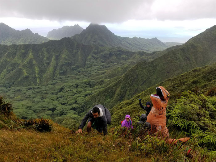
Schofield-Waikane Junction
Dale fleeing from a highly invasive species that we ran across on the KST. Don’t worry Dale, he could barely get it up. Photo by Sean Bingham
Schofield-Waikane Junction
Say Orange Peel. For some, it was more than a mouthful than they could handle.
KST
Our last fleeting valley views …
KST
… before resuming our hike into the clouds.
Waikane-Waiahole Junction
Leaving the Ko’olau Summit Trail, where …
KST
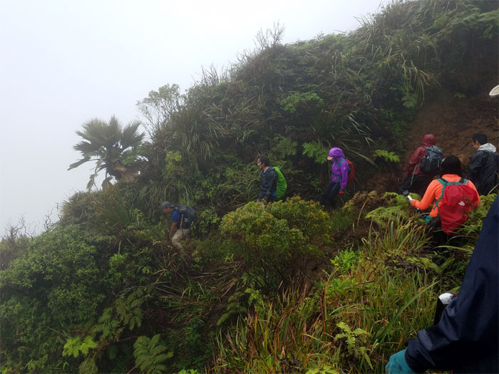
… the trail soon took on a more noticeably overgrown nature. Photo by Sean Bingham
Waikane Trail
Crossing over one of the major landslides that constantly changes the trails out here.
Waikane Trail
Passing through hanging tree roots dripping with condensation.
Waikane Trail
Making our way over another major landslide. Photo by Sean Bingham

Waikane Trail
White capped mushrooms on a bed of sea green moss. Sounds like something off a menu. Now I’m hungry.
Waikane Trail
Going over another smaller landslide. Photo by Anne Fai
Waikane Trail
Picking our way through several blow downs that made us lose the trail temporarily.
Waikane Valley
Crossing the gushing Waikane Stream that once fed taro terraces.
Waikane Valley
Passing underneath another blow down.
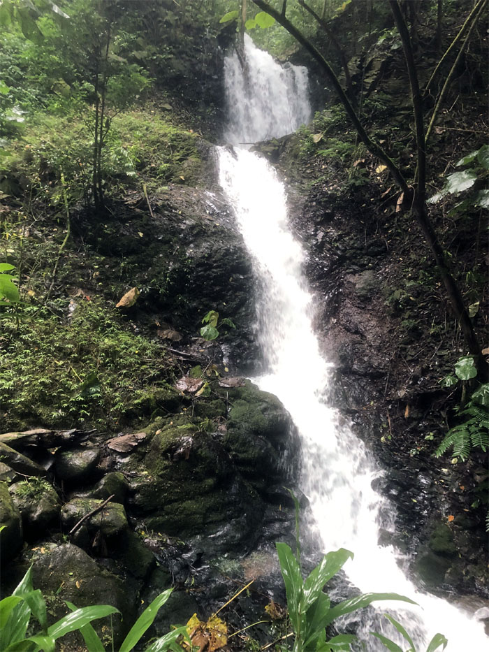
Waikane Valley
Chris, Dale and Sean went off the beaten trail to investigate the source of the rushing water and were rewarded with this waterfall. Photo by Dale Yoshizu
Waikane Valley
Looking for pigs in all the wrong places.
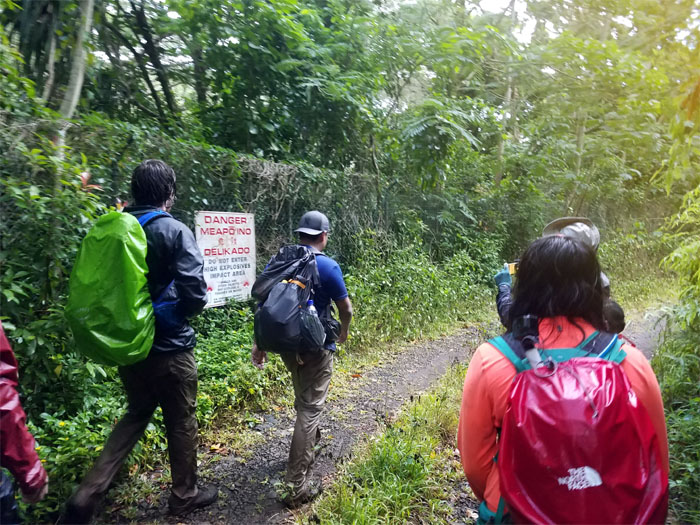
Waikane Valley
How many ways can you say danger? Apparently four on this trail. The military’s legacy to this valley that condemned hundreds of acres of land due to unexploded munitions that lie scattered in the terrain.
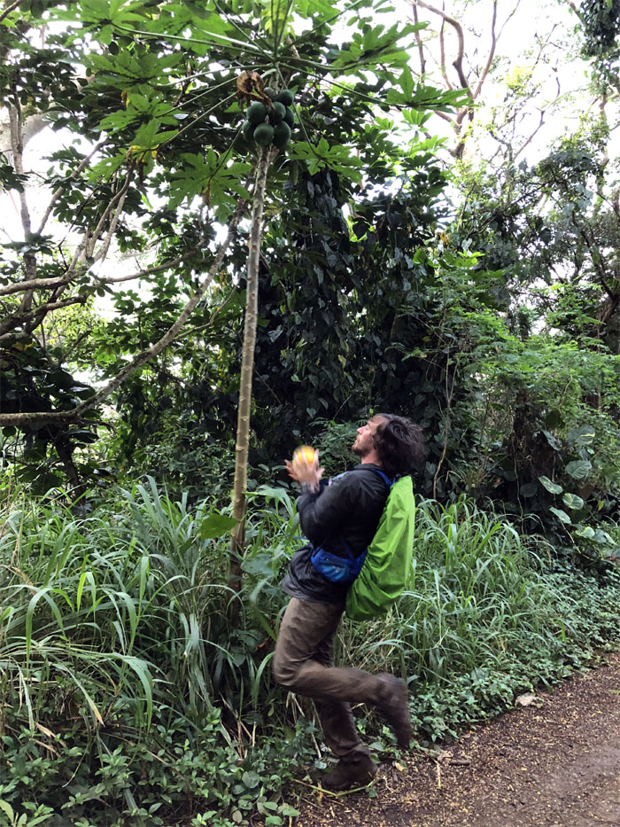
All pau
Shake a tree and catch a papaya. Mahalo to Ritchie for picking us up in the neighborhood of barking dogs. Photo by Anne Fai
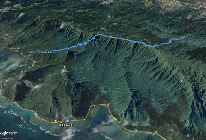
GPS Tracks
Our fun group outing covered 11.6 miles through ridges, valleys and cloud and rain soaked views; excluding the six-mile road. Post hike meal at Chao Phya Thai where the salmon melts in your mouth.
Note: I have been made aware that some hikers have been using my blog as a hiking guide and getting lost on the trails. Please note that this blog was made to document the hike for the crew(s) that did it. That is why some of my comments will seem to have no relevance or meaning to anybody outside of the crew(s) that hiked that trail. My blog was never meant as a hiking guide, so please do not treat it as such. If you find inspiration and entertainment from these hikes, that is more than enough. If you plan on replicating these hikes, do so in the knowledge that you should do your own research accordingly as trail conditions, access, legalities and so forth are constantly in flux. What was current today is most likely yesterdays news. Please be prepared to accept any risks and responsibilities on your own as you should know your own limitations, experience and abilities before you even set foot on a trail, as even the “simplest” or “easiest” of trails can present potential pitfalls for even the most “experienced” hikers.
{ 6 comments… read them below or add one }
I’ve been wondering recently how accessible Waikane Trail is now, so thanks for this write up. I might try to connect it with Pauao soon.
Aloha
Aloha Troy,
That sounds like a good loop. Have fun and stay safe.
Mahalo
Back waik?ne is the best place to hunt pig they come by herds! Only people from there would hike that far back
Aloha Kili,
We saw a lot of hunting dogs and tracks, but no pigs. But looks like get choke back there.
Mahalo
I’ve been curious about this trail for years. I’m wondering if I could get a Gps file of this trail from you to add to my map of the northern ko’olaus, and maybe someday try and traverse it. I just dont know how accessible the trail is now, it seems like a lot of the trails on the windward side that lead up to the summit have been completely abandoned.
anyways thank you
Aloha Tom,
Let me check if I still have it. From what I heard, the trail access fluctuates due to the landowner. I believe the Waikane Trail has been pretty much surrendered to Mother Nature.
Mahalo