Back to the Northern Ko’olau’s for another camping hike with Ben, Chris, Ethan, Krissy and Shirley. Thanks to Glenn for dropping us off.
Everybody was out for a walk this morning. Why not? It was going to be a beautiful day in the mountains. Right?
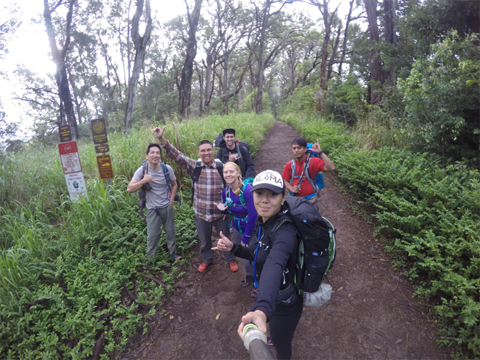
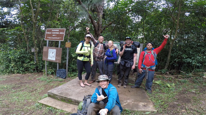
Group photo by Shirley, left to right: myself, Ethan, Krissy, Ben, Shirley and Chris.
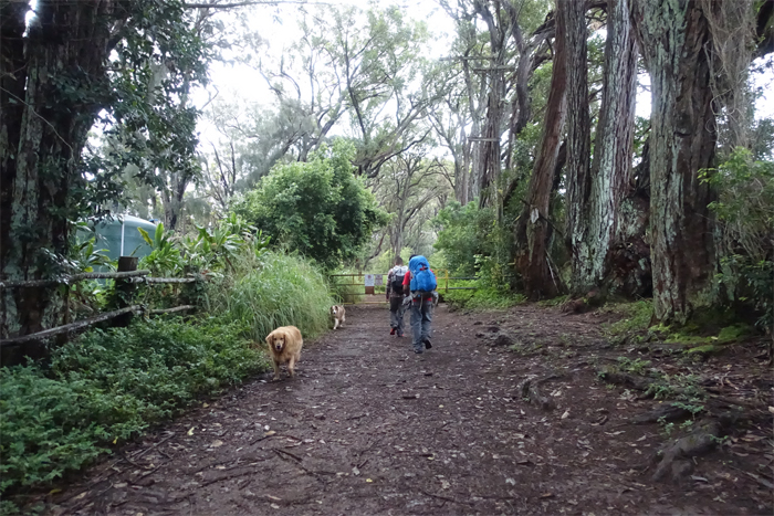
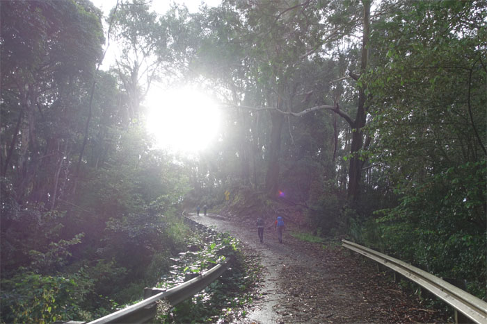
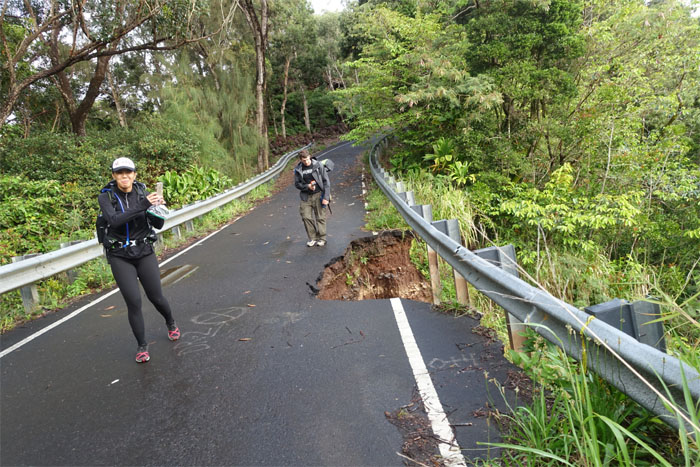
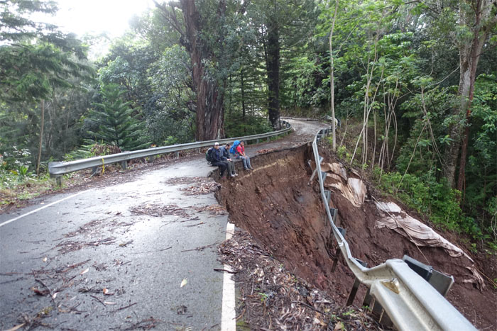
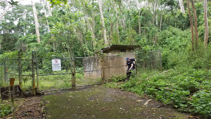
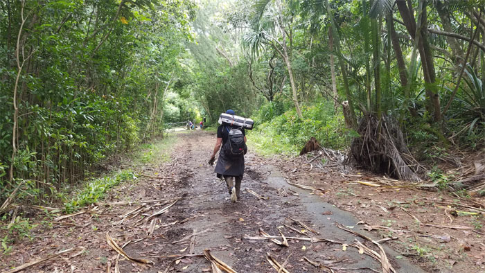
Walking up the road that time forgot. Nature seems to be slowly reclaiming what was hers in the first place.
Erosion at work.
Erosion at play.
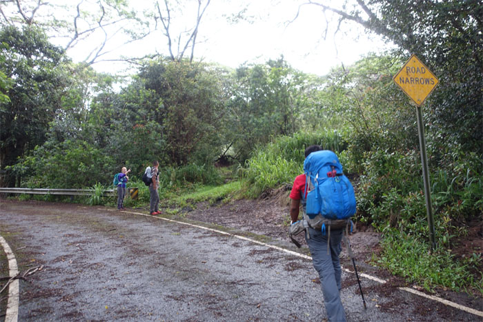
Taking a detour off the road, as we had no plans to end at Wahiawa.
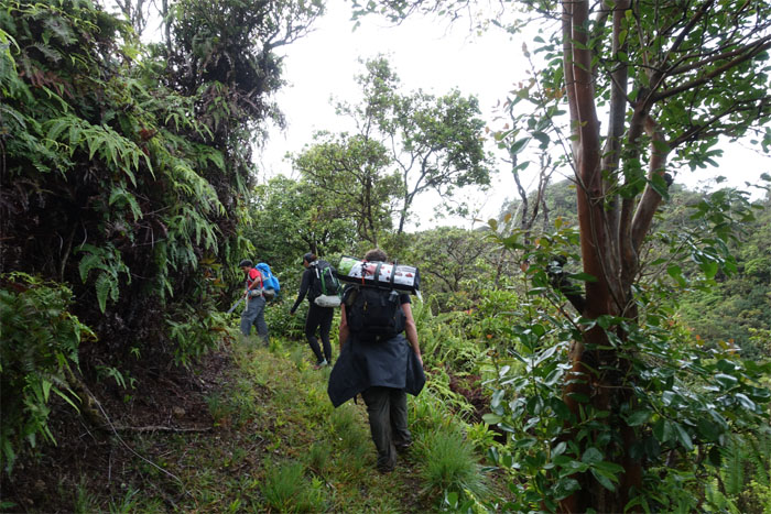
Enjoying the five foot wide open trail while it lasts.
Skipping the summit overlook and starting on the summit trail.
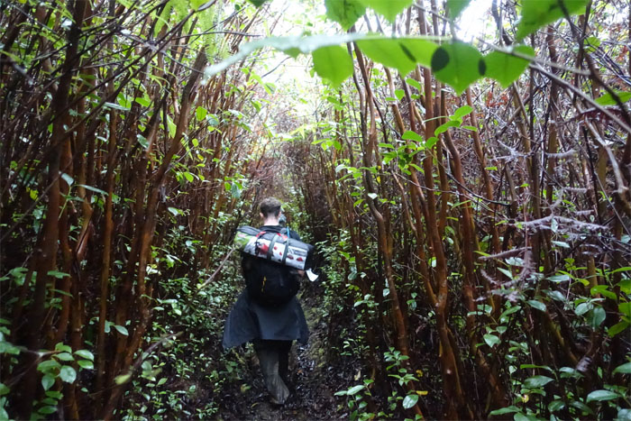
The trail soon narrowed to roughly the width of a four man tent, as framed by the ubiquitous strawberry guava trees.
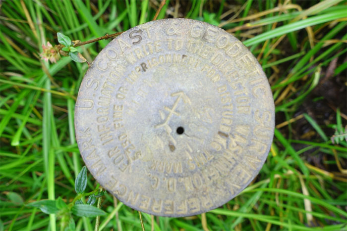
The geodetic marker at Pu’u Hina, where a junction also exists to the seldom trafficked Kahuku Trail.
Passing the Scott Slipper junction.
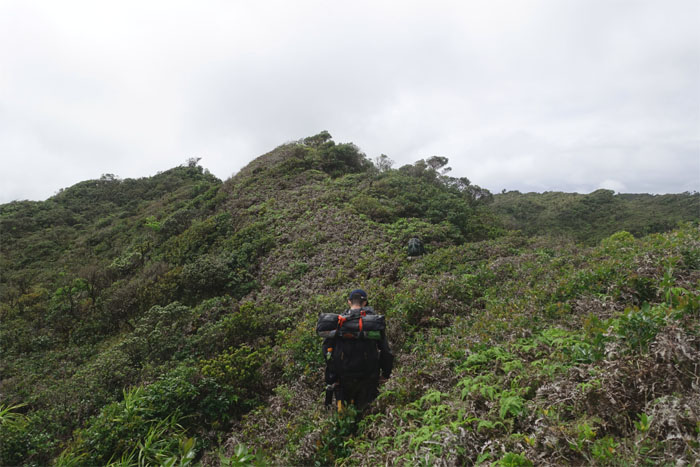
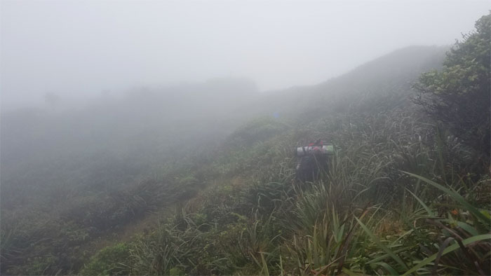
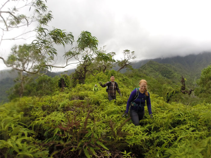
The overgrowth on the trail fluctuated from shoulder high …
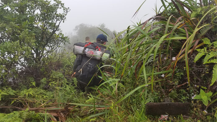
… to waist high. Not as bad as expected.
Halfway there. To Laie. Group photo by Chris.
Going up the trail as the clouds slowly knitted together to form a grey backdrop.
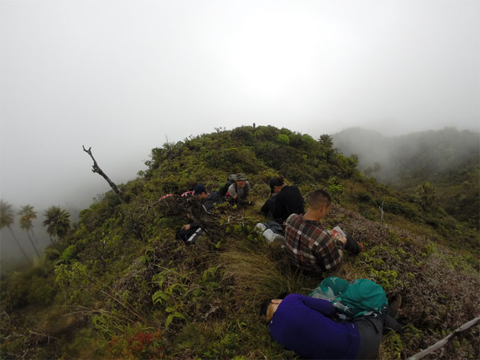
Taking a break underneath a blanket of clouds. Photo by Chris.
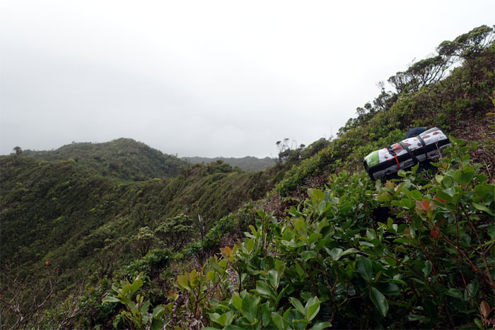
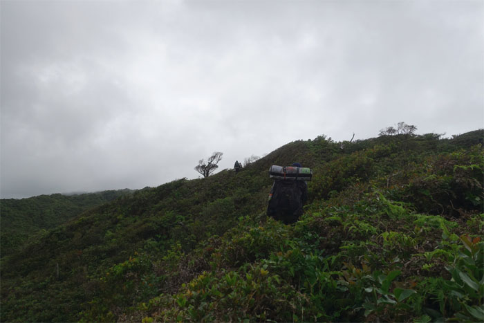
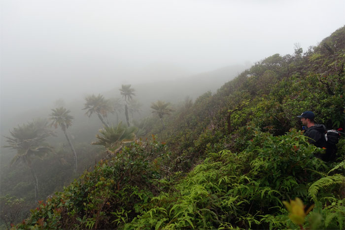
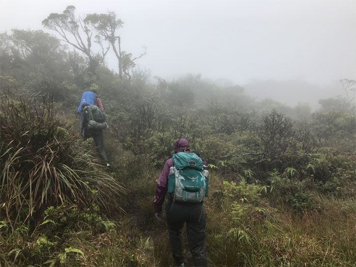
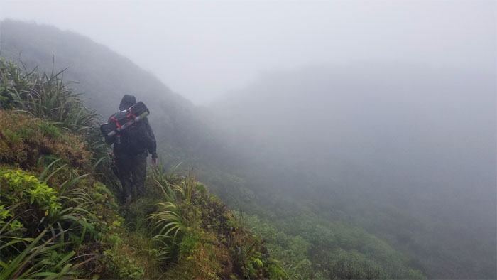
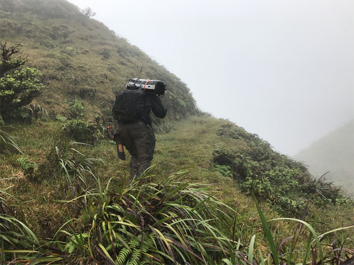
The trail for the most part, hugged the Windward side of the ridge line, as the native loulu palm trees punctured the cloudy views.
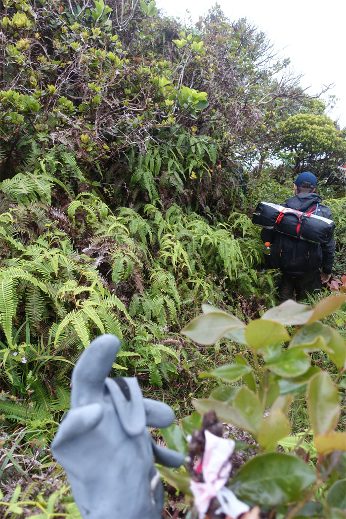
Contouring to the Leeward side as we passed the Malaekahana glove.
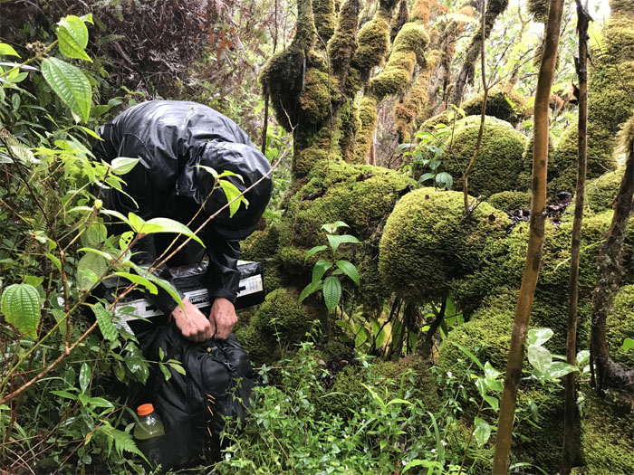
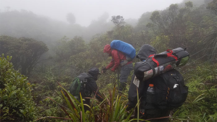
The pitter patter of the rain soon became voluminous enough to penetrate the dense canopy. It was here to keep us company over the weekend.
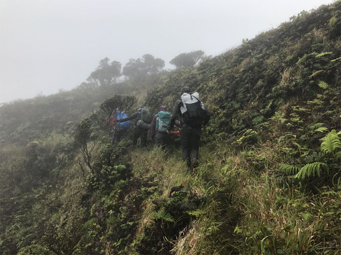
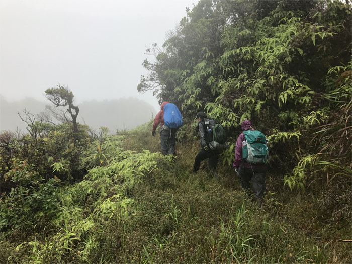
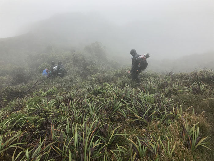
The Leeward side sheltered us from the winds, but not the rain.
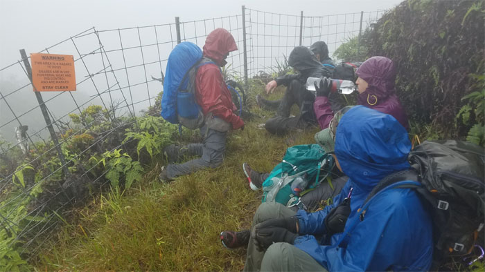
Approaching the Laie summit, where we soon sought scant cover under the small trees from the cold rain and wind, as nobody wanted to gain the foxhole for zero views and increased exposure to the rain and wind. We sent Ben up to the summit as this was his first time. He came back down disappointed and with no pictures.
Back on the rainy trail again.
The group rounding the bend in the trail …
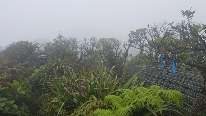
… to our first contact with the ever expanding KST fence line. Photo by Ethan Clavecillas.
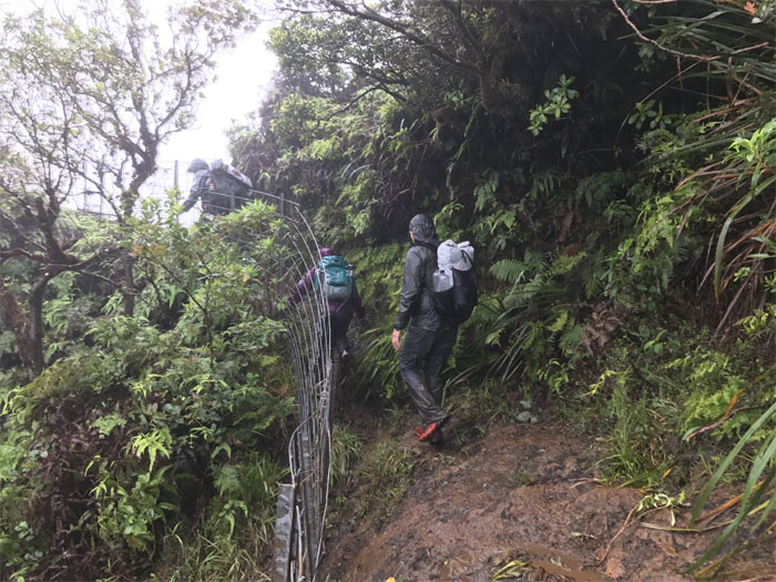
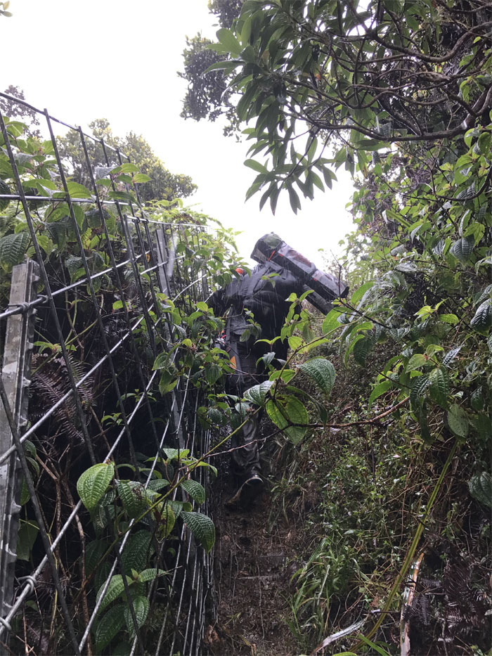
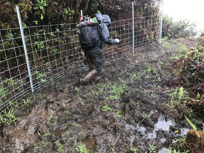
Following the mud encased fence trail.
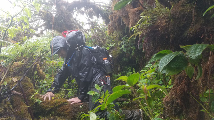
Ben pulling himself up the hill.
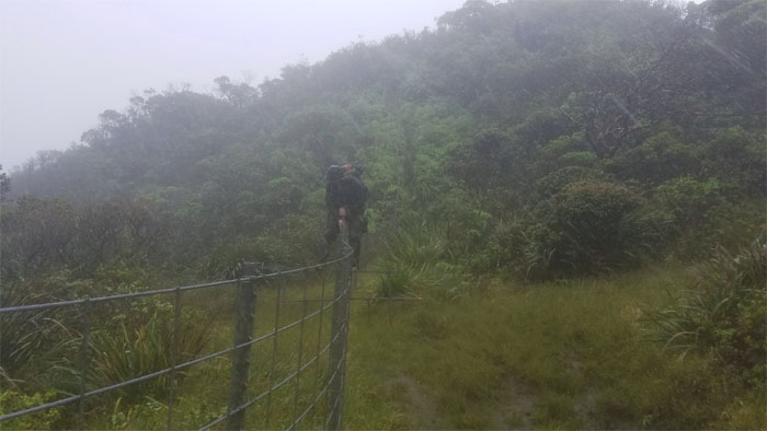
Climbing over the fence hoping to find four walls and a roof. Fingers crossed.
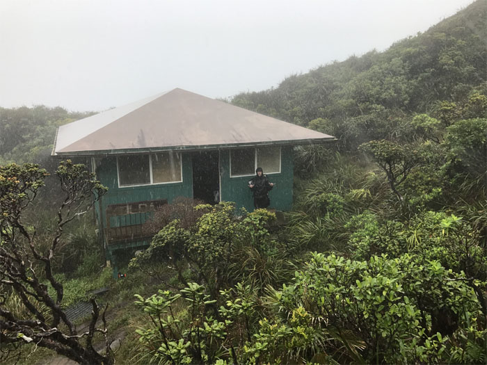
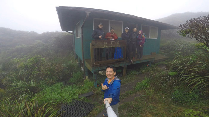
The cabin was open. Ben was extremely disappointed that he didn’t have to set up his four man tent in the pouring rain.
Ben’s only regret was not knowing what regret feels like. Oh wait, he carried his regret on his back for three days. Something to be easily washed down with honey whiskey. He also knocked his shell loose. Nothing Band-Aids and another shot of honey whiskey can’t fix.
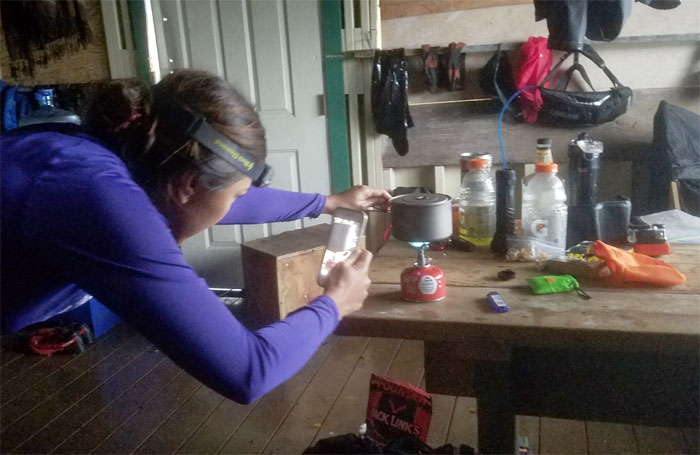
Somebody was extremely happy to be boiling water for the first time.
We left the cabin the next morning, hoping for clearer skies. Wishful thinking.
The group climbing over the fence line to get back on the trail.
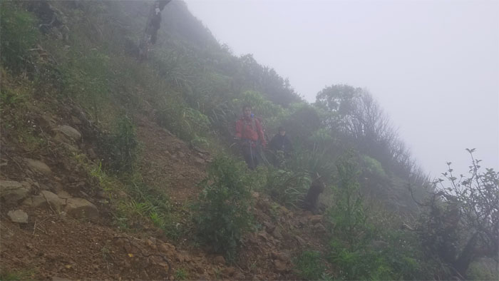
Climbing down and over a washed out section.
Crossing the open field to get to the ridge line.
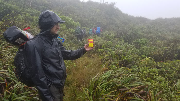
Tastes great, less filling. Sorry, wrong product. Turn Great. More filling. Pay it forward.
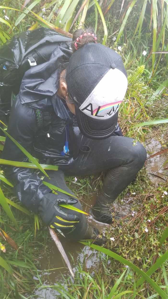
Shirley wallowing in the mud. The shallow end. Photo by Ethan Clavecillas.
Ben heading up to gain the ridge line.
Doesn’t this all look familiar?
We got turned around and righted ourselves through Ben’s internal compass, a fallen tree and a smart water bottle. It didn’t hurt that somebody answered their phone as well.
Deja vu. Back where we started.
The machete came out unsheathed and still unused in our group photo. Bear Grylls was not pleased.
The fence had extended its sprawl since our last visit.
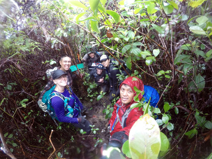
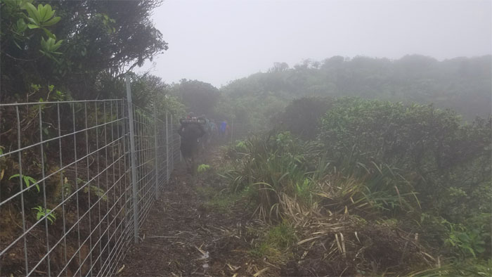
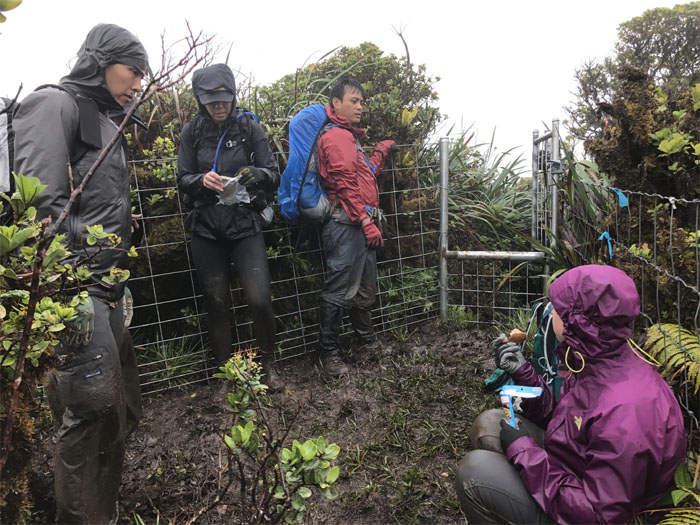
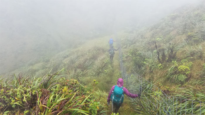
The fence and mud. Two constant companions on this section. Oh and let’s not forget about the rain as well.
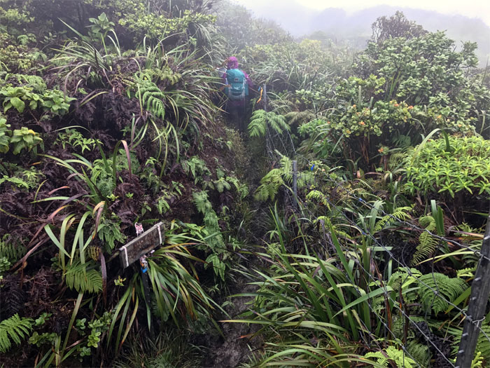
Going through the gate that lead us …
… out of the rabbit hole.
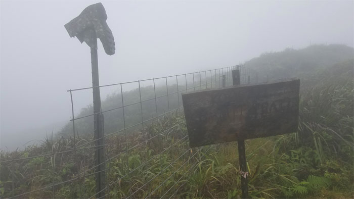
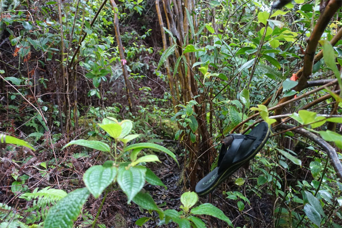
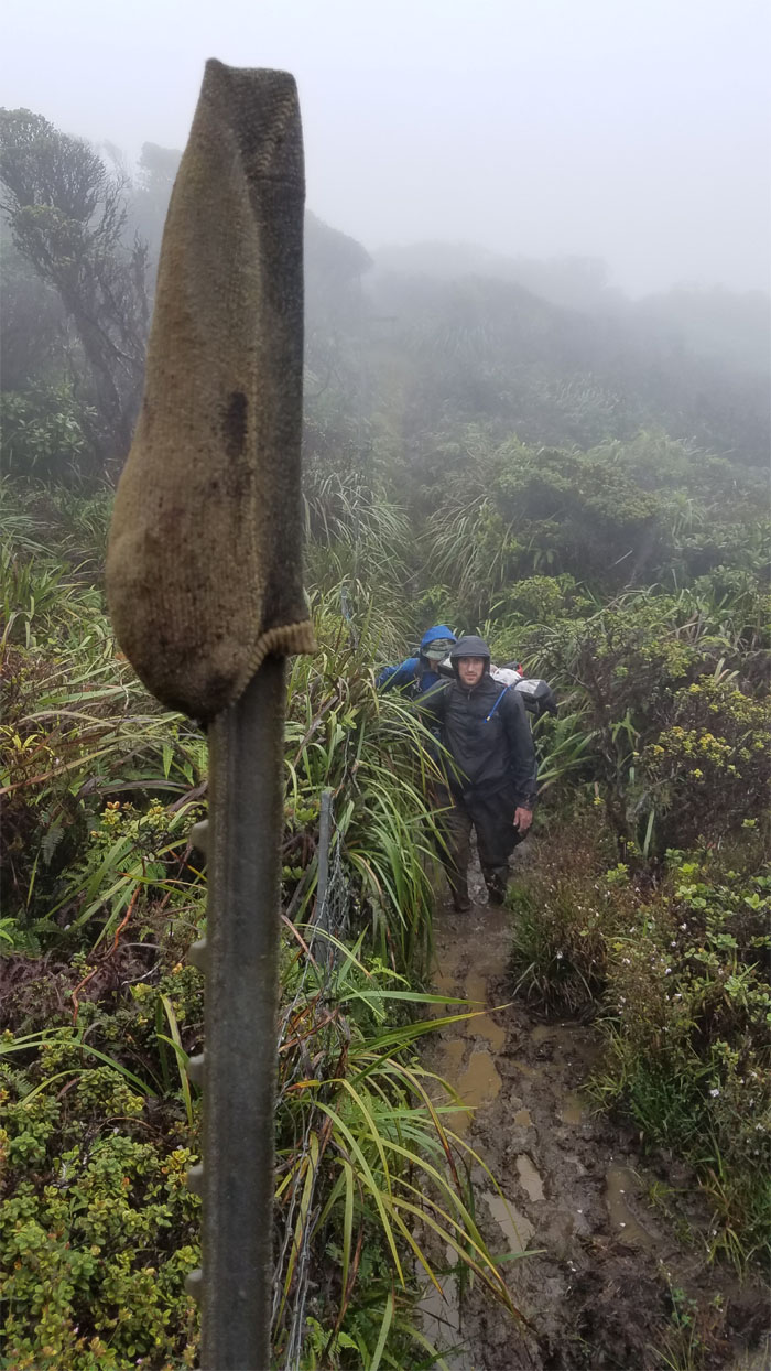
We found the sock. Now all we have to do is find the boot that goes with it. Photo by Ethan Clavecillas.
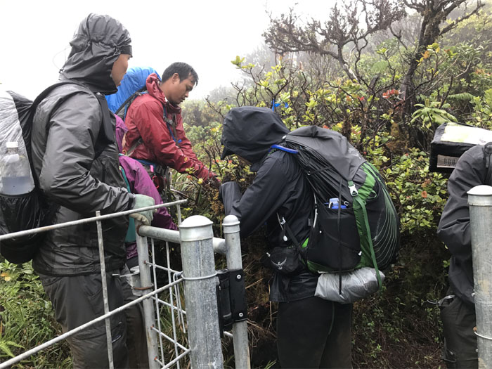
Waiting to go through another gate, it will have to wait for tuna time.
Going down … Photo by Ethan Clavecillas.
… and coming back up.
Why did the hikers cross the fence? To get to the other fence. Photo by Chris.
Group photo at the iconic boot junction.
Ben contouring on the Leeward side as we left the fence line behind us.
Back on the fence line again.
Leaving the fence line for the ridge line.
Trying to get off the mountain.
Crossing the landslide area. Luckily, the rain didn’t turn this section into a mud slide.
Ben leaving the ridge line.
Heading towards the socked in summit. We couldn’t see the Waianae Mountains for the clouds and rain. Photo by Chris.
Congratulations to Ethan “Mr. Ultralight” Clavecillas for completing his last section of the Ko’olau Summit Trail.
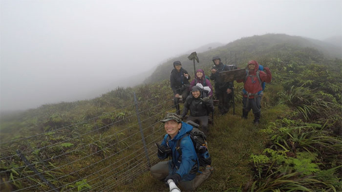
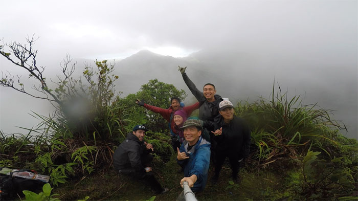
Socked in group photo with denied views of the valleys below us.
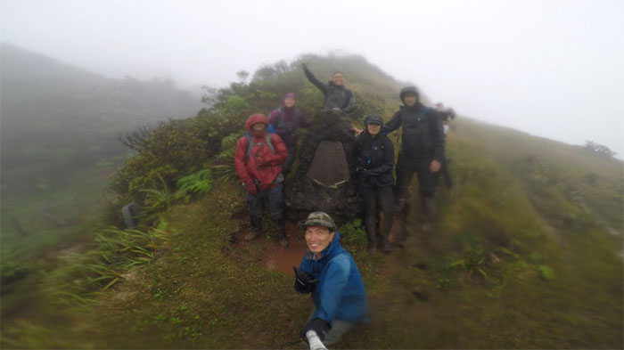
Rainy group photo at the Cline Memorial. I think we had enough rain for today. Time to get out of the rain and head to the cabin.
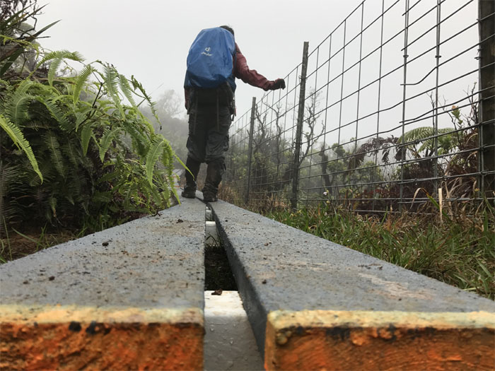
Making our way on the board walk to the cabin.
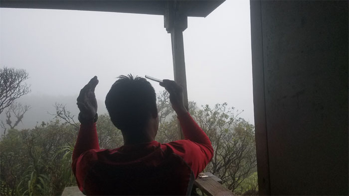
Chris combing his hair. Keeping it civilized in the mountains. We are not savages.
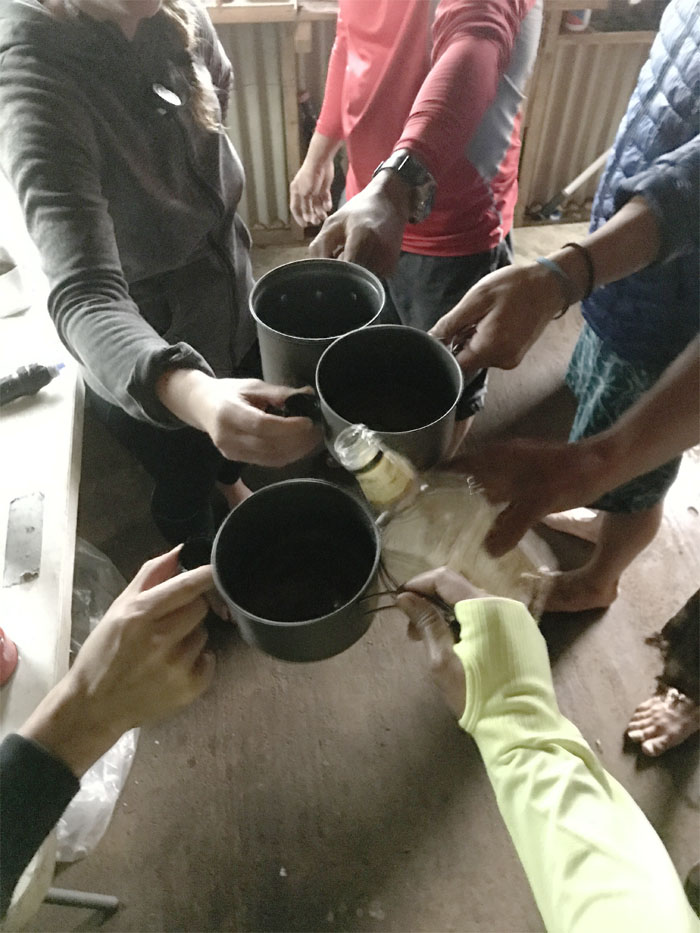
I don’t always drink alcohol. But when I do, I prefer it in a bottle cap. Toasting Ethan’s KST accomplishment. Photo by Shirley.
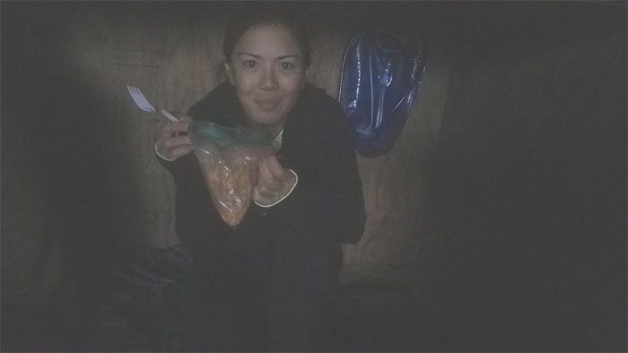
When you’re craving for ice cream and crushed reese pieces is the next best thing.
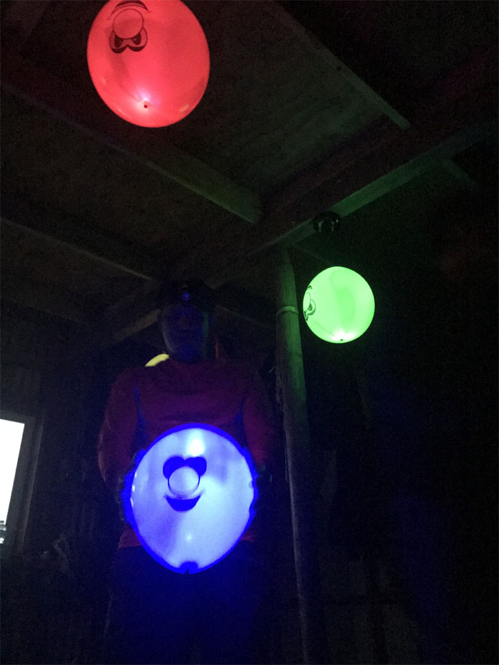
Hiker night lights. Sleeping under grinning glowing balloons. Nightmares for life. Photo by Shirley.
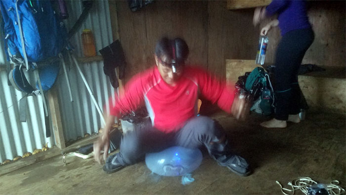
Chris getting rid of his blue ball the next morning.
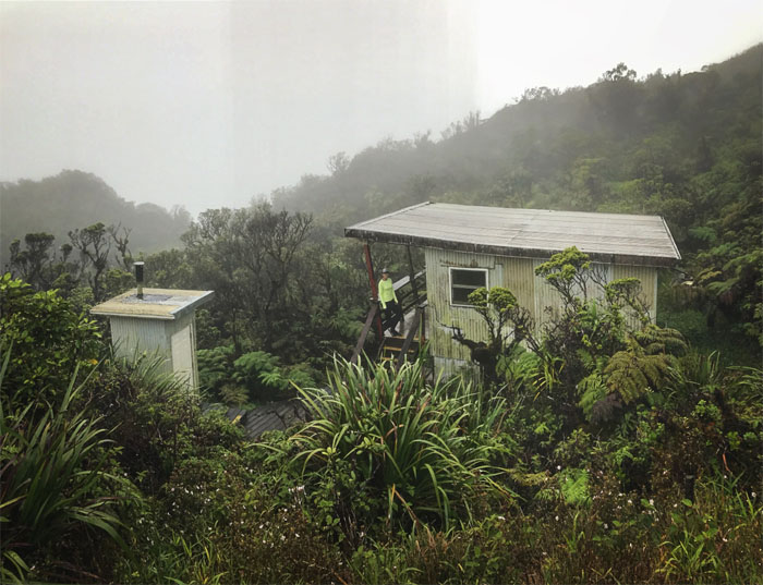
View from the hill looking down to the cabin. Photo by Chris.
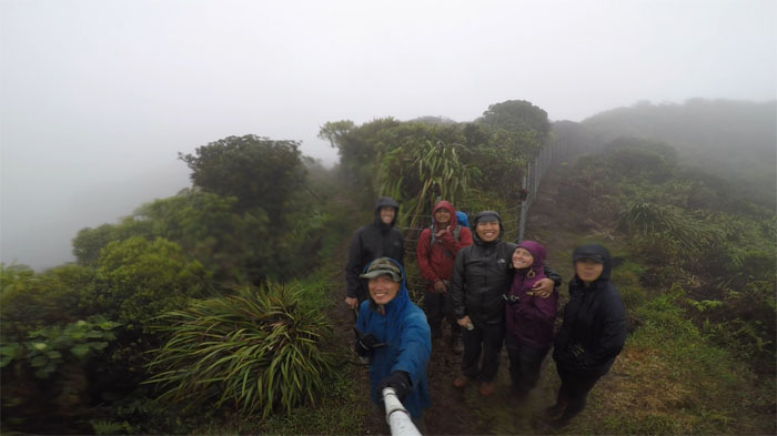
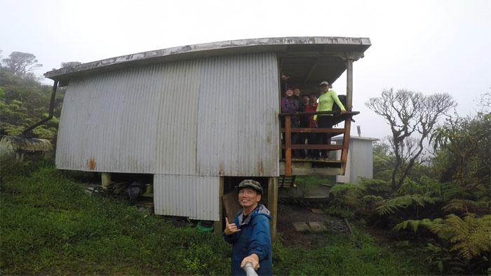
Group photo in the morning as we greeted another rainy day.
Back on the rainy trail again.
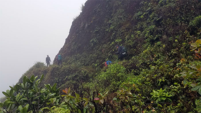
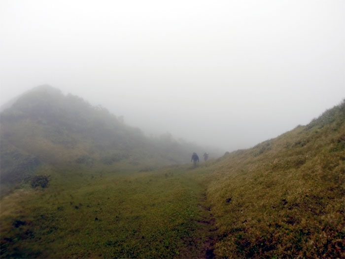
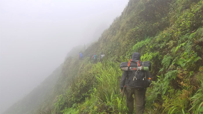
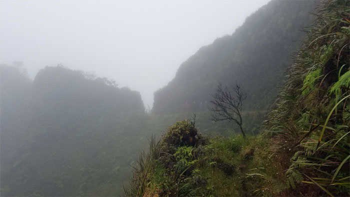
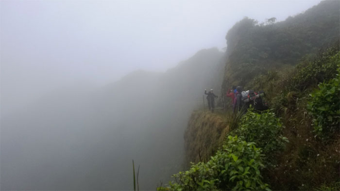
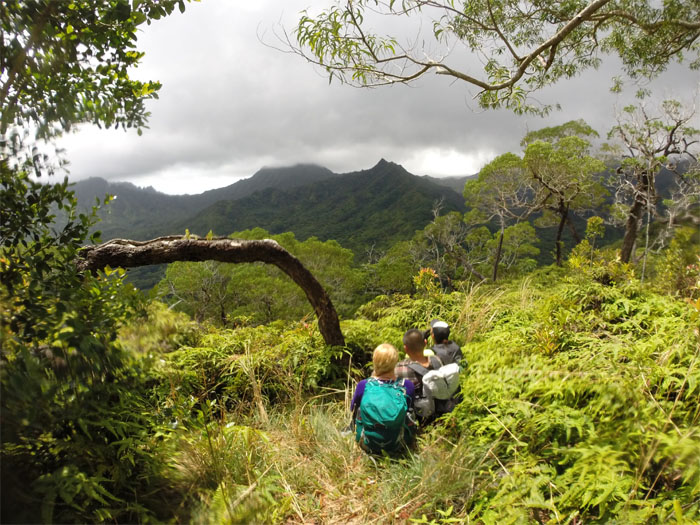
Looking out towards the Windward side of the rugged cliffs softened by the clouds.
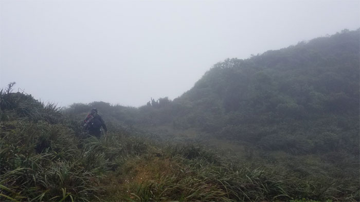
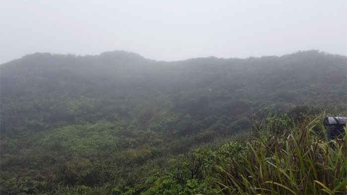
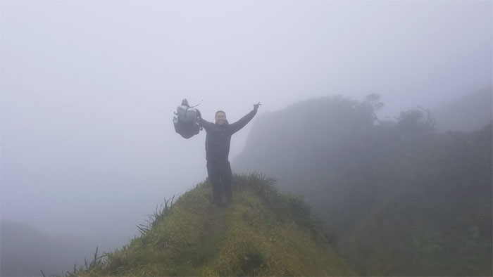
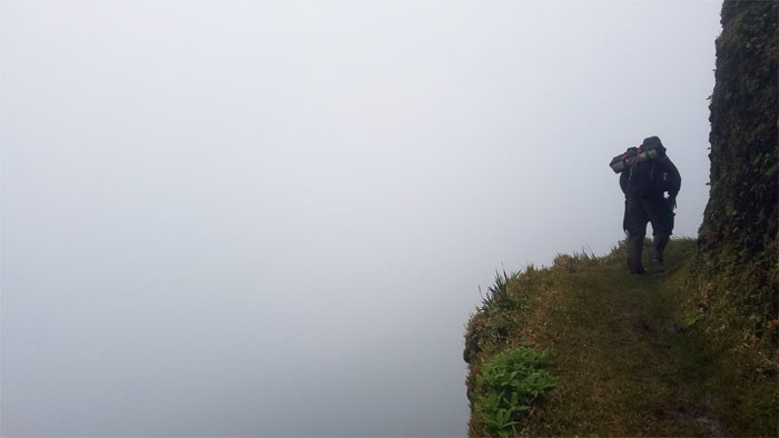
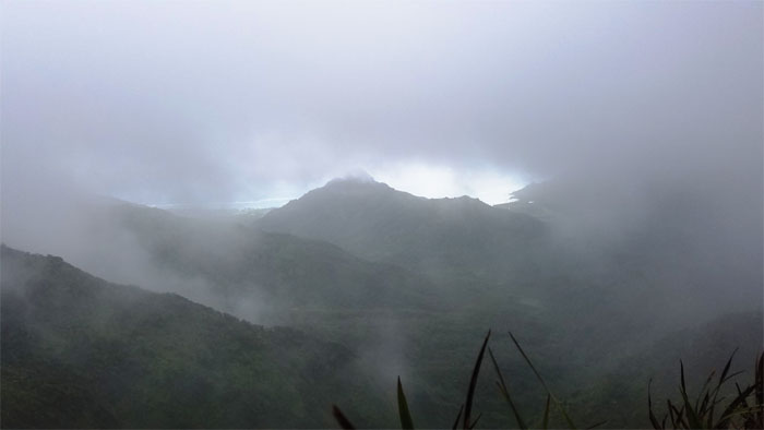
Where’s the view?
Heading towards the man-made notch.
The clouds started to clear down in the valleys.
Photo shoot stalling our forward progress.
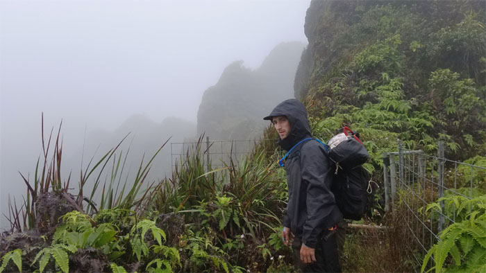
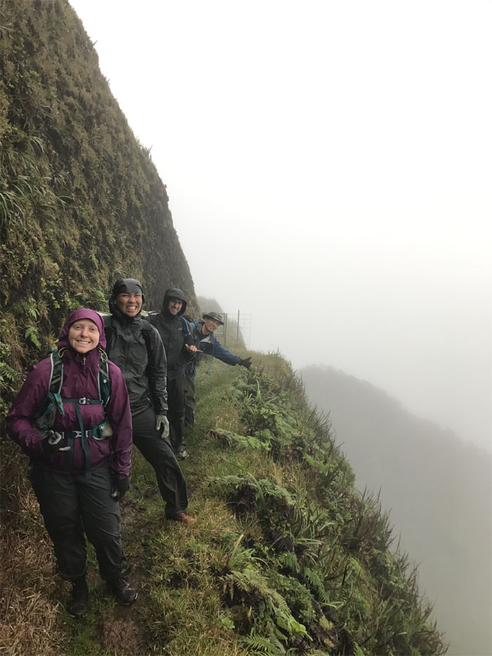
All buttoned up for the rain. All smiles. Photo by Shirley.
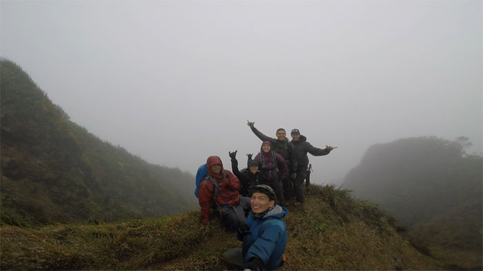
Group photo as the rain tapered off to a drizzle.
Leaving the KST behind us as we made our way down the Windward ridge.
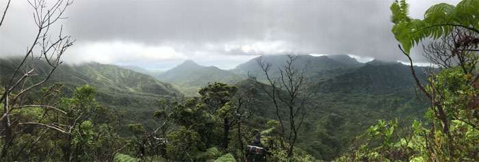
Panoramic view of Kahana and Punalu’u valleys.
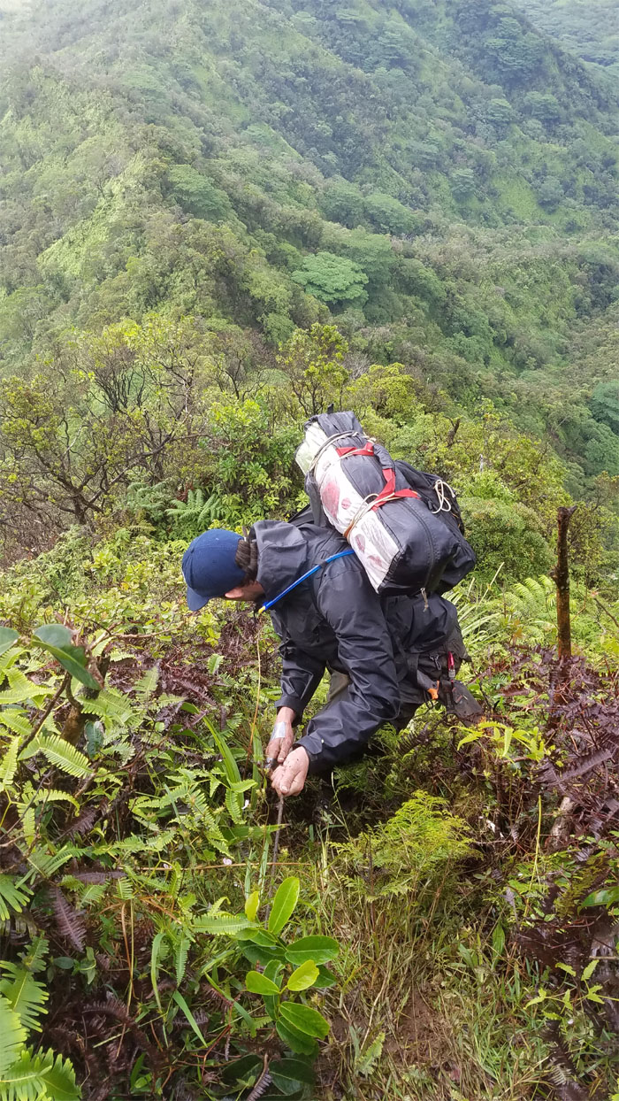
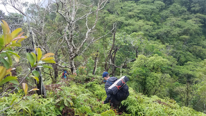
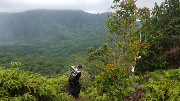
Ben making his way down the initial steep descent of the ridge.
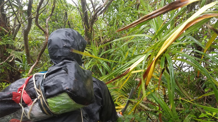
Look closely. The first documented use of the Bear Grylls machete in action. Blink and you’ll miss it.
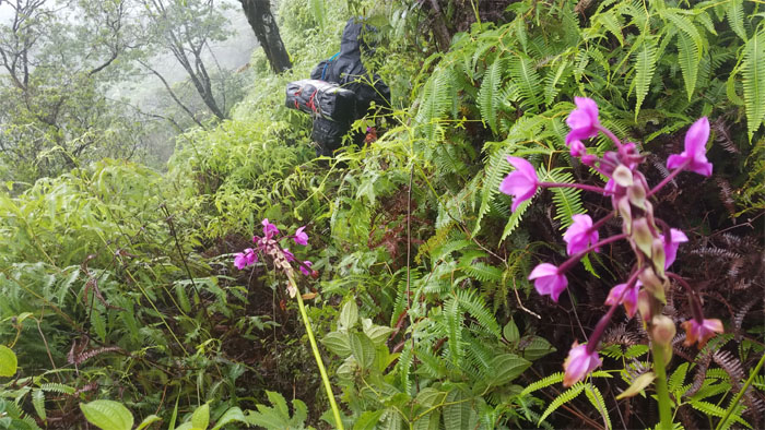
Splash of color in the sea of uluhe green.
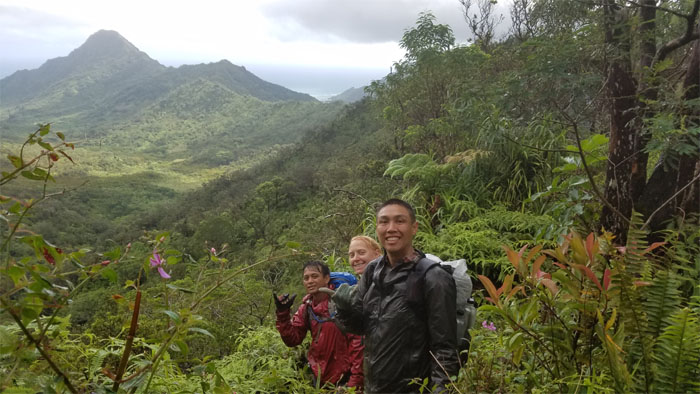
Photo by Shirley with Pu’u Ohulehule in the background.
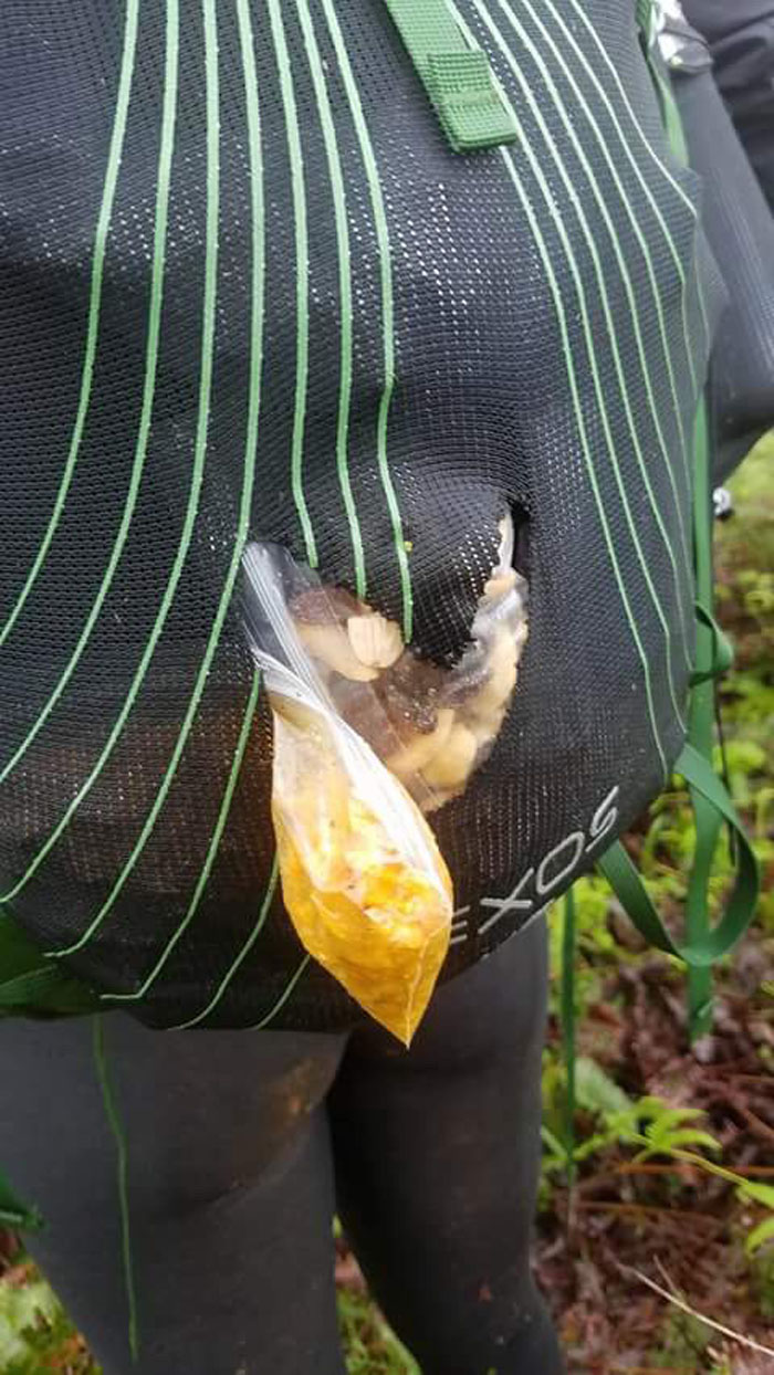
Snacks spilling out of Shirley’s brand new pack. I think she wanted to feed the pigs or Ben. Not sure which one. Photo by Ben Hinders.
The ridge roller coastered up …
… and down.
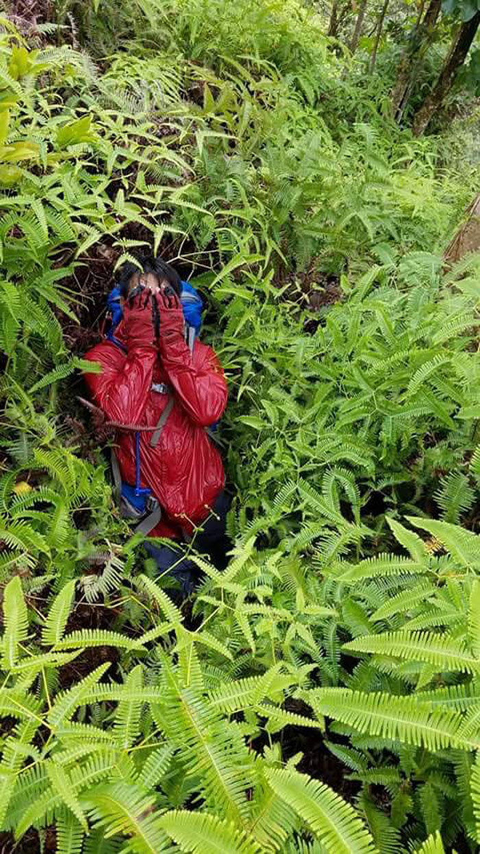
Chris playing hide and seek in the dense uluhe ferns. Photo by Shirley.
It finally stopped raining on our parade. Photo by Chris.
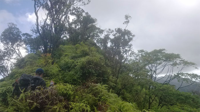
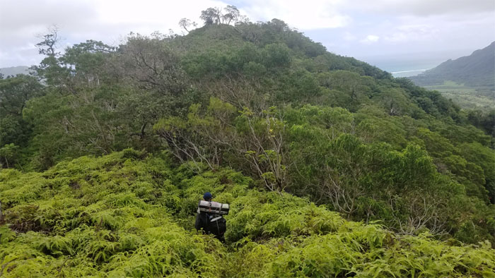
Ben making his way up the last false summit.
Looking back at the cloud capped mountains. Photo by Chris.
No more ups and downs. Just down.
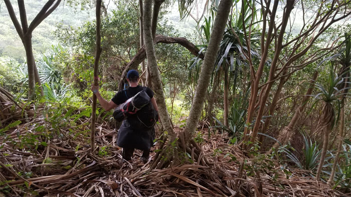
Ben making his way down through the hala trees and their banana like slippery fallen leaves.
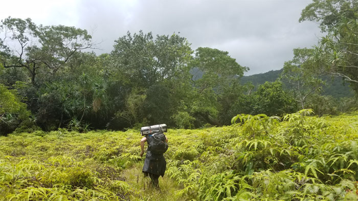
Parting our way through the sea of uluhe ferns.
Ben making his way around the water tank coming down off the ridge.
Our hike fittingly began on a road and ended on a road.
Mahalo to Glenn for picking us up ahead of schedule and bringing cold carbonated cola beverages to slake our thirst.
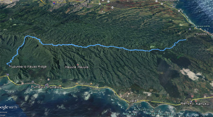
Our three day rainy weekend hike covered nearly 23 miles across the Northern Ko’olau’s. Great friends and fun times stopped it from becoming a complete soggy mess. Post hike meal was supposed to be at Haleiwa Joe’s. Too early. Guess it’s Dean’s Drive Inn. $5 is the limit.
Note: I have been made aware the some hikers have been using my blog as a hiking guide and getting lost on the trails. Please note that this blog was made to document the hike for the crew(s) that did it. That is why some of my comments will seem to have no relevance or meaning to anybody outside of the crew(s) that hiked that trail. My blog was never meant as a hiking guide, so please do not treat it as such. If you find inspiration and entertainment from these hikes, that is more than enough. If you plan on replicating these hikes, do so in the knowledge that you should do your own research accordingly as trail conditions, access, legalities and so forth are constantly in flux. What was current today is most likely yesterdays news. Please be prepared to accept any risks and responsibilities on your own as you should know your own limitations, experience and abilities before you even set foot on a trail, as even the “simplest” or “easiest” of trails can present potential pitfalls for even the most “experienced” hikers.







{ 0 comments… add one now }