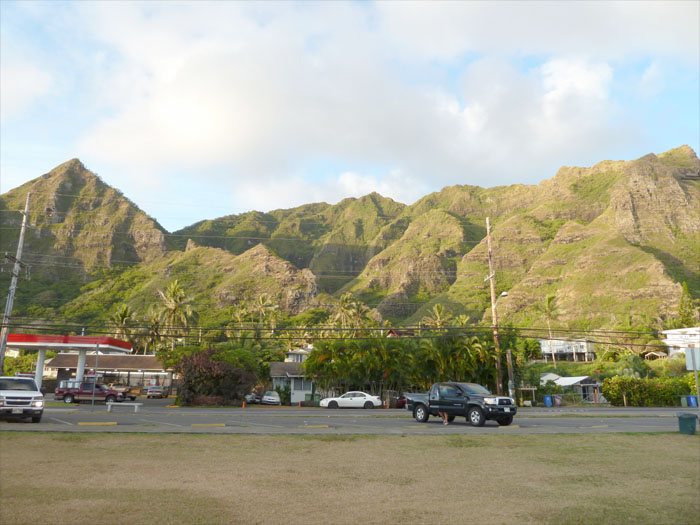
Having hiked Pu’u Manamana back in February, I wanted to try a different connecting trail from Kahekili to Manamana . With that being said, we drove to Ka’awa on the Windward side and parked at Swanzy Beach Park.
We walked up North on Kamehameha Highway and turned left into Huamalani Street right by the fire station. The trailhead is at the end of the street between two houses, can’t miss it, just try to ignore the sounds of the large dogs barking and hope they are leashed.
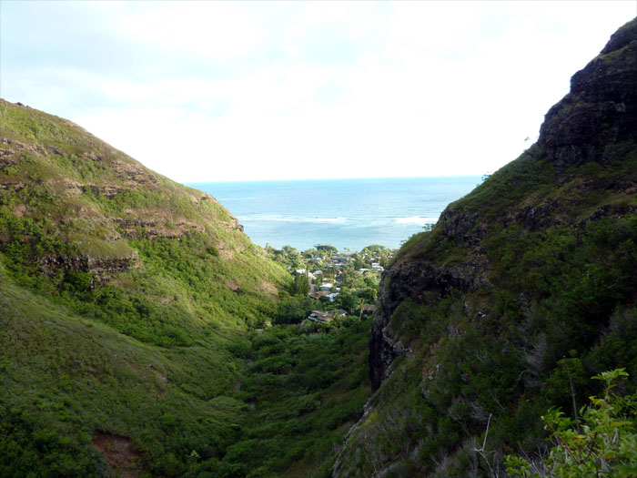
The beginning of the trail is flat with low hanging trees which quickly turned into an uphill climb as we pushed into Makaua valley. Within mere minutes, we had gained enough elevation to look into the valley below.
The ridge trail to Pu’u Kahekili, which is the triangular peak looming over Ka’awa Valley, flattened out and we soon came across an old pillbox or military bunker left over from the war days.
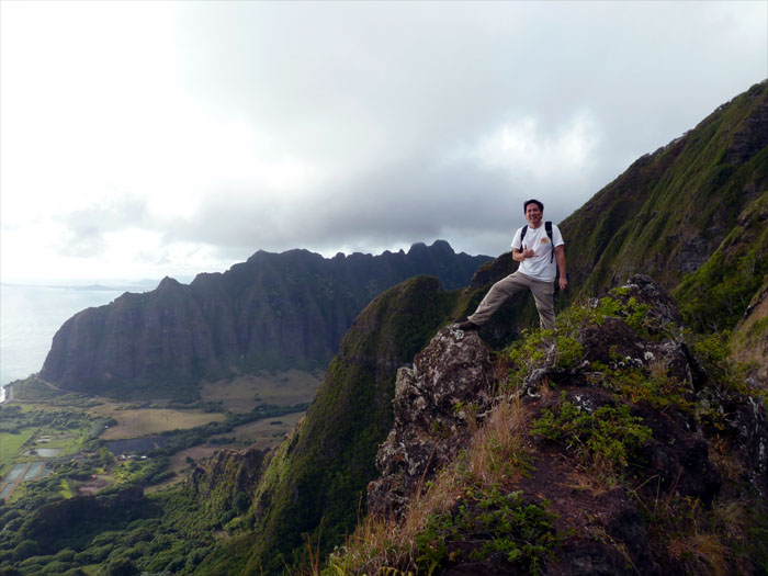
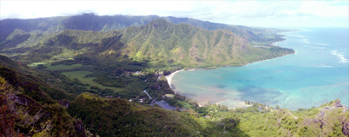
The flat part of the trail soon gave way to steep climbs up the mountain, that was partially assisted by ropes strategically placed by unknown hikers. Views of the Kualoa Mountains and the front part of Ka’awa Valley opened up to us as we neared the peak.
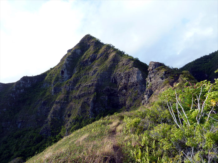
We made the peak of Pu’u Kahekili in about an hour, we didn’t actually climb to the top of the peak as the trail contours to the right of the peak and down into Makaua or Hidden Valley.
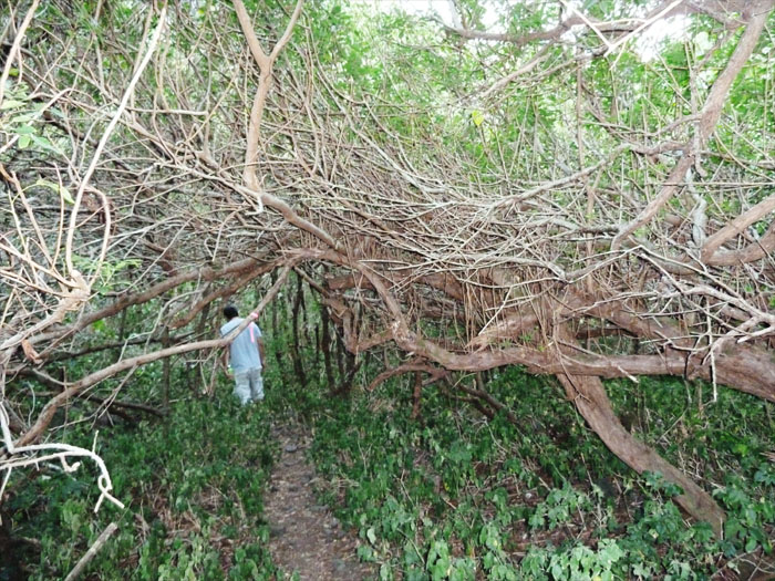
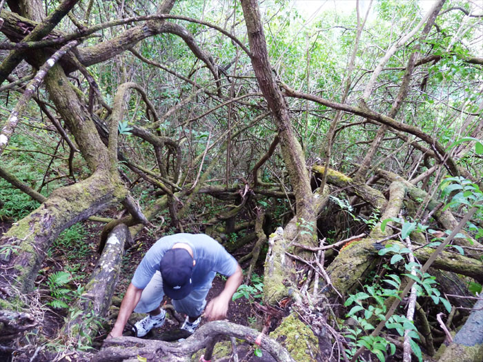
Scrambling down into the thicket of tangled tree branches and roots made for an interesting descent down into the valley.
We made it to the bottom of this stagnant streambed that was feeding a waterfall trickling into the valley below, but didn’t stay long as clouds of mosquitoes were feasting on us for lunch.
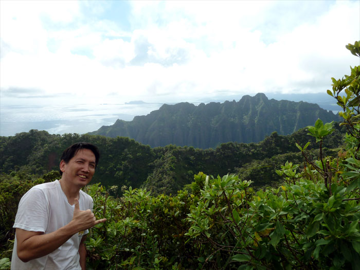
We pushed our way up though the heavily overgrown vegetated trail consisting mostly of uluhe ferns. Wearing long pants on this hike is highly recommended. From the top, we had a better view of the Kualoa Mountains and as far as the eye could see to Kaneohe. Looking at the Kualoa Mountains, I was wondering if it’s possible to climb them?
I believe there are three ways of going down the mountain. One of course is the way we came up from Kahekili. The other two are the trails going down Cemetery Ridge and Pu’u Manamana Ridge, we chose the latter which is the trail to the right as you face the ocean.
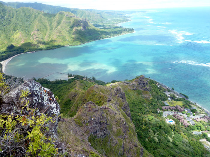
Going down the ridge is pretty much all downhill, affording us some great views from Kahana Valley stretching to Laie.
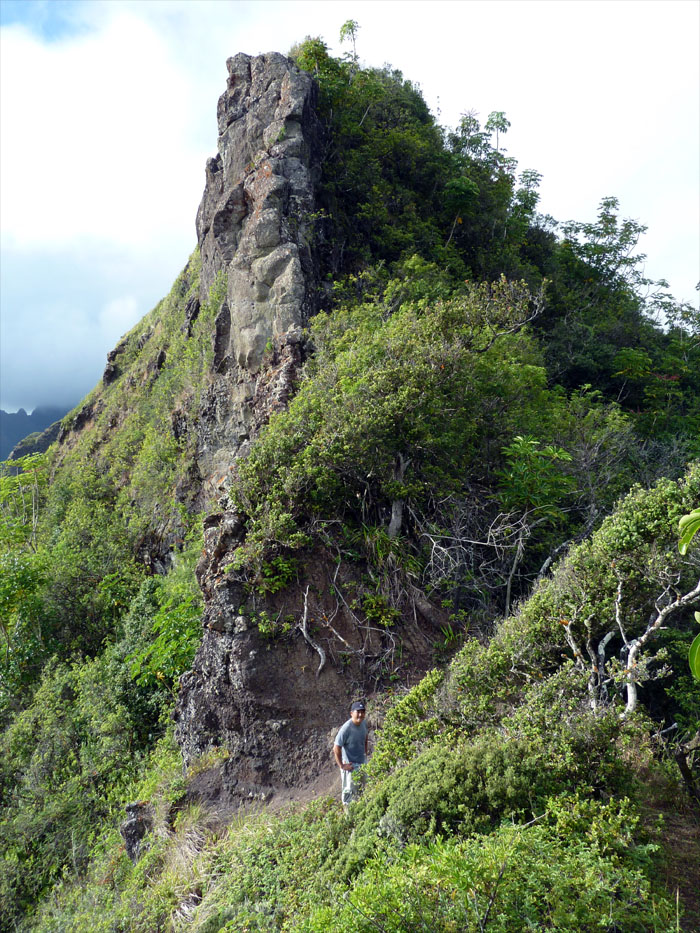
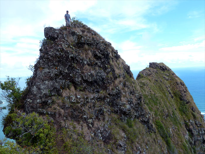
Well, the ridge is not exactly all downhill as there are various rock formations we had to climb up and down. But that’s what makes ridge hikes fun!
Here is a panoramic view of the Kahekili ridge and part of the Manamana ridge.
As we came down closer to the ocean, we could see the knob to the right known as Crouching Lion which overlooks the restaurant bearing the same name. We had already climbed to the rock formation on our last hike, so we bypassed it going down.
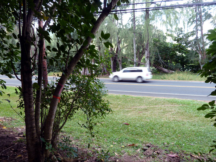
Five hours later, we were on Kamehameha Highway walking South back to our car. We stopped at the 7-11 and had a quick lunch at the beach park. It’s amazing how a simple tuna sandwhich and a can of soda tastes after you’ve had a good hiking workout.




{ 0 comments… add one now }