
Our final day on the TMB as we neared the symbolic “finish line.”
Argentiere
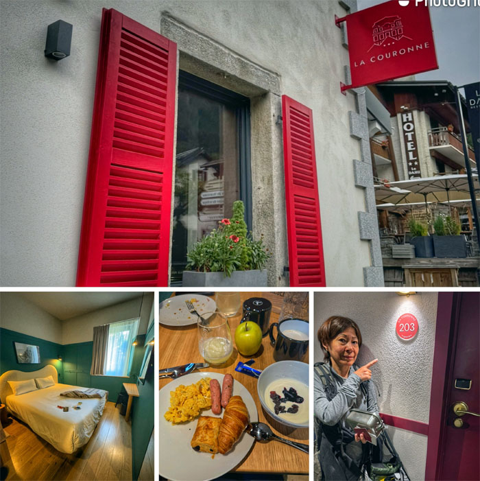
We ate our European breakfast, packed our last lunch tin and checked out of the most comfortable hotel on the trip.
Argentiere
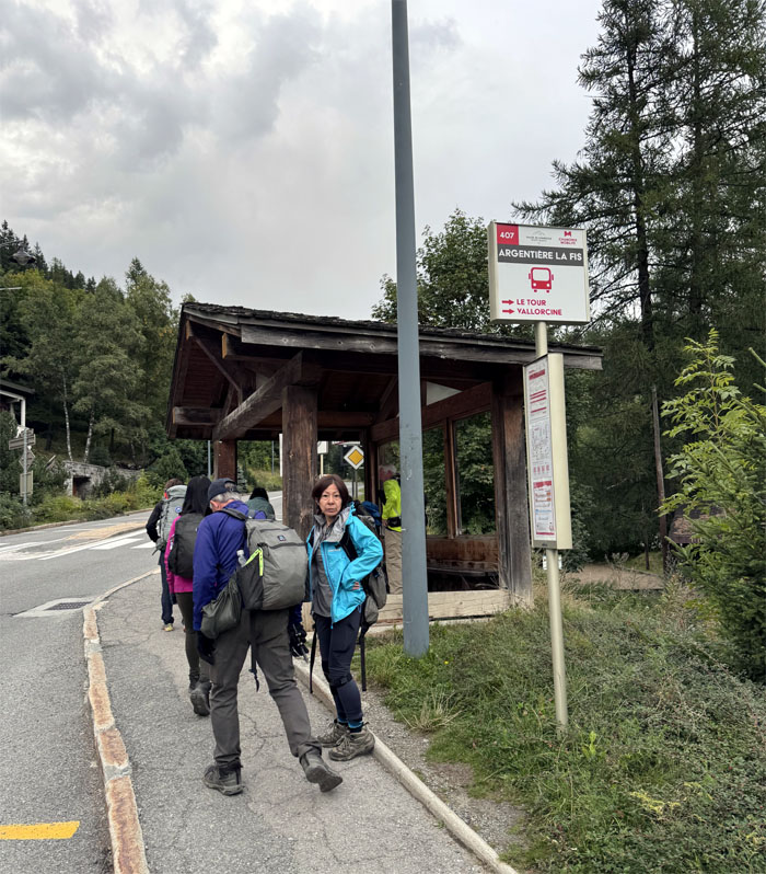
Took a short walk up the road to the bus stop.

Tre le Champ
Getting off the bus that took us to another charming hamlet catering to TMB hikers.
Tre le Champ
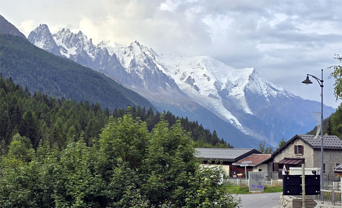
Looking up at the snow kissed mountains overshadowing the town.
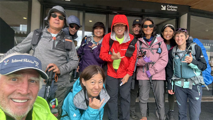
TMB Trail
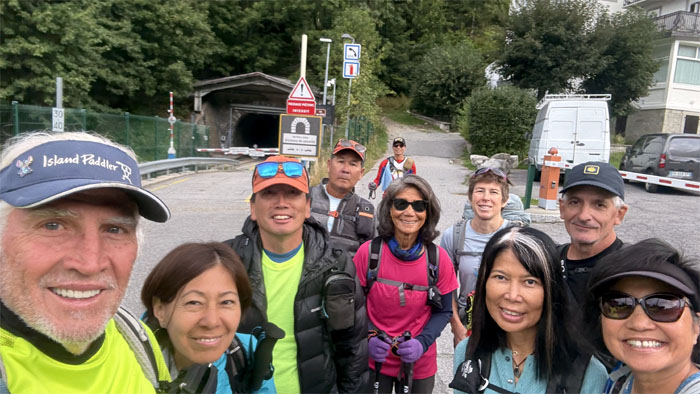
Group photo at the trailhead that are shared with railroad tracks. You mean we can take a train?
TMB Trail
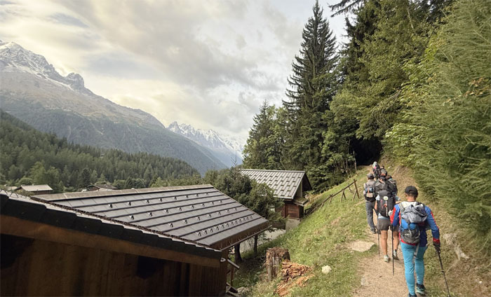
Skirting the French chalets as we struck out on the path.
TMB Trail
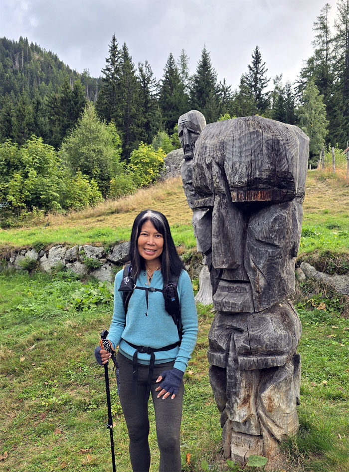
Aida with one of several wooden totem poles along the trail. Local transplants?
TMB Trail
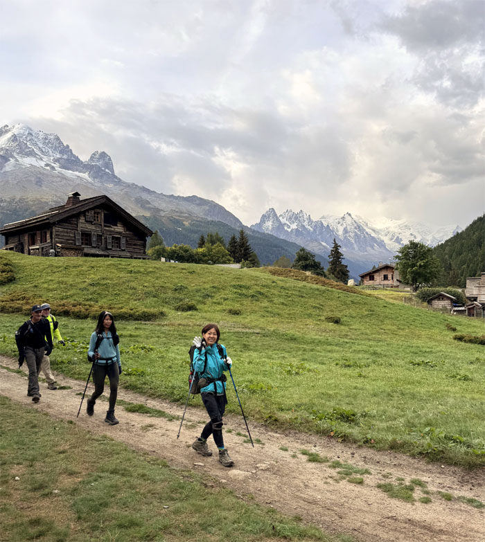
Roaming through alpine pastures.
TMB Trail
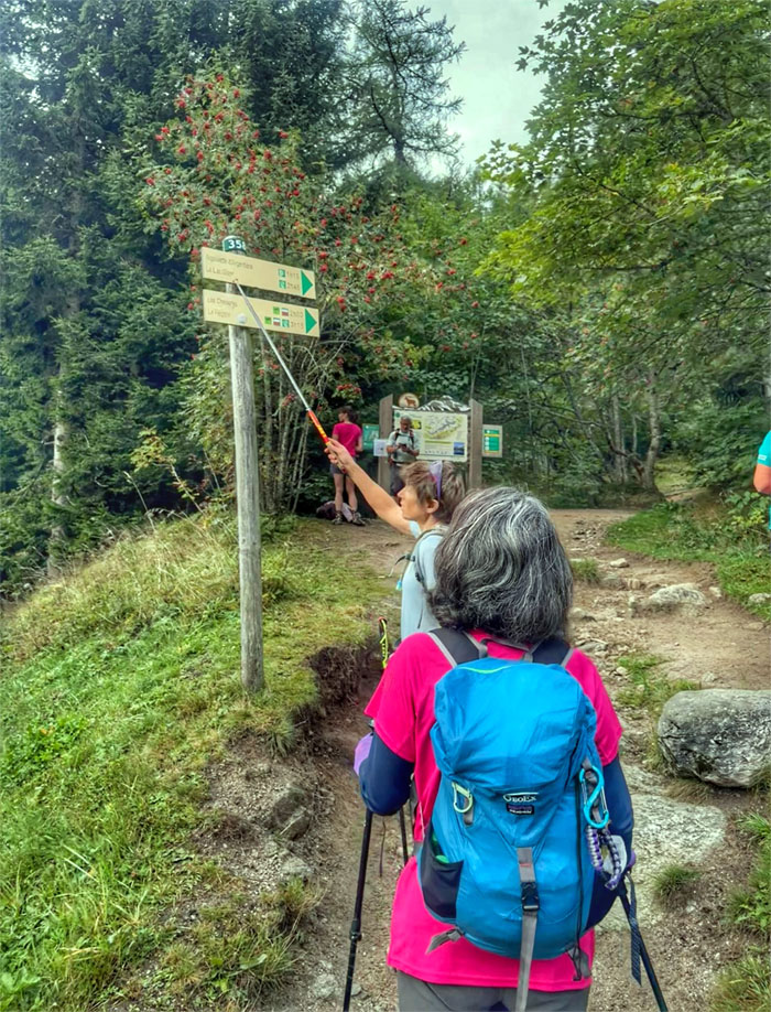
We are going here!
TMB Trail
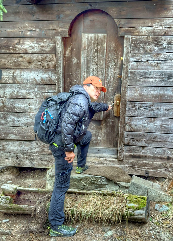
I hear you knocking but you can’t come in. I hear you knockin’, go back where you been.
TMB Trail
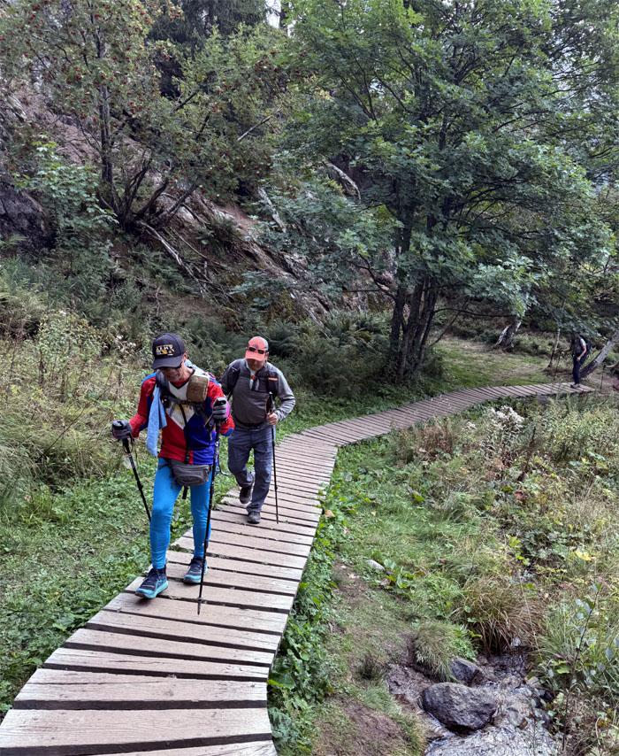
Ferlino and Patrick walking on the elevated footpath.
TMB Trail
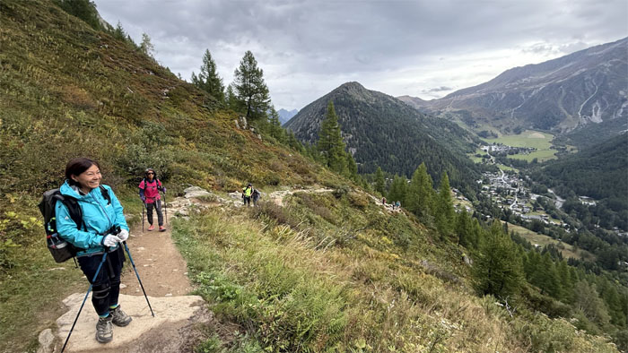
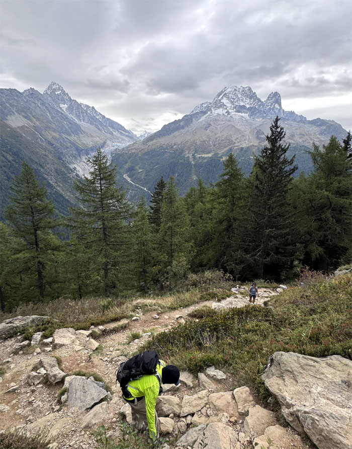
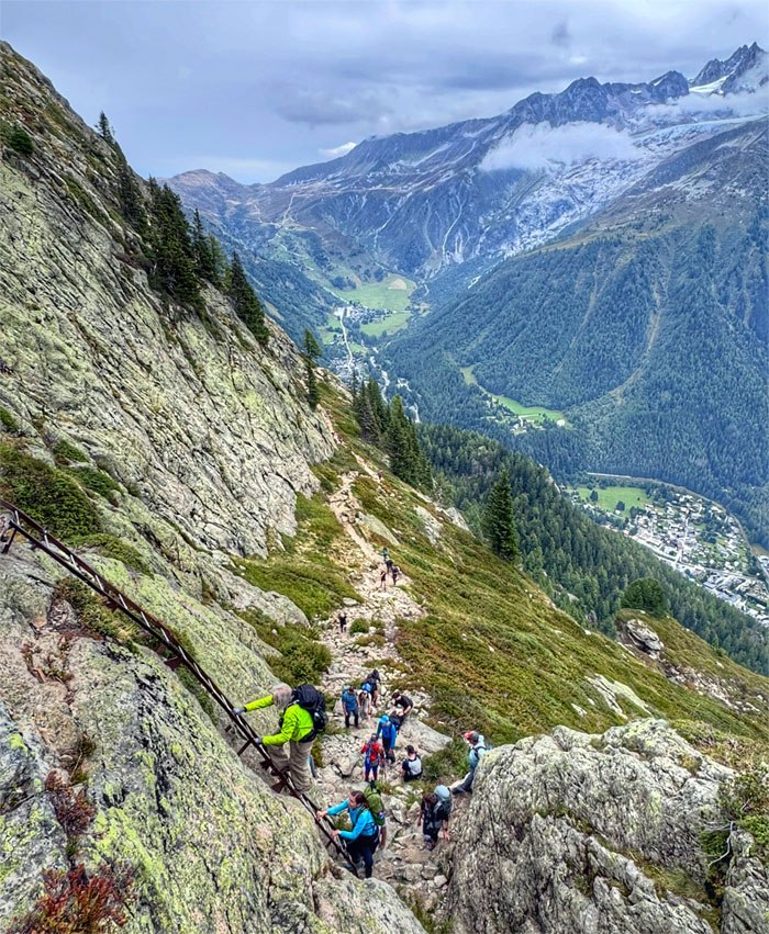
Looking back down into the valley where we had just departed.
TMB Trail
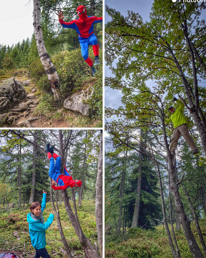
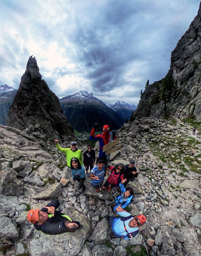
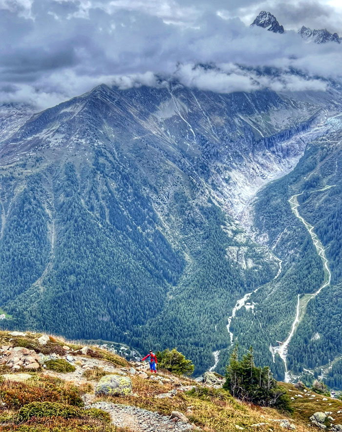
Spider-Man and Uncle Ben made an appearance in the tree line as we waited for the rest of the group to catch up.
TMB Trail
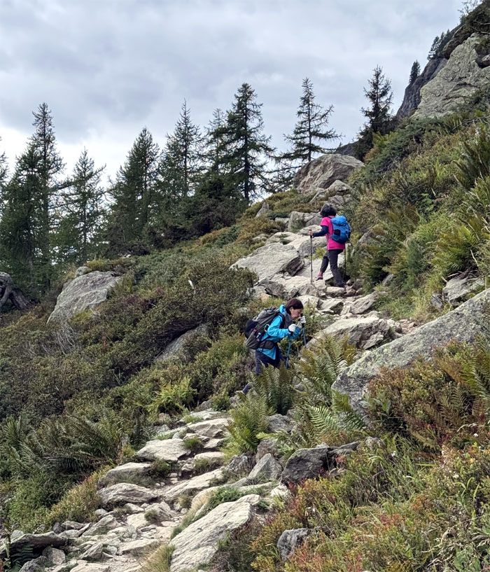
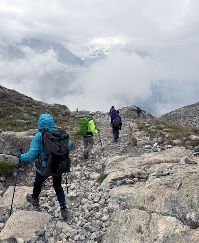
Climbing our way through the more than 3,200′ of elevation gain today.
TMB Trail
Hiking our way up through the rock strewn landscape.

TMB Trail
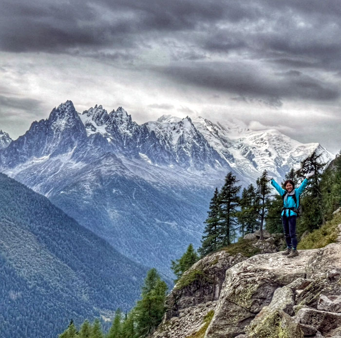
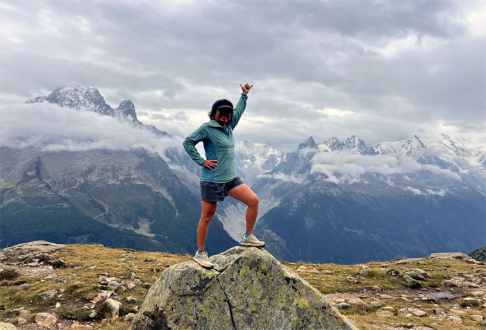
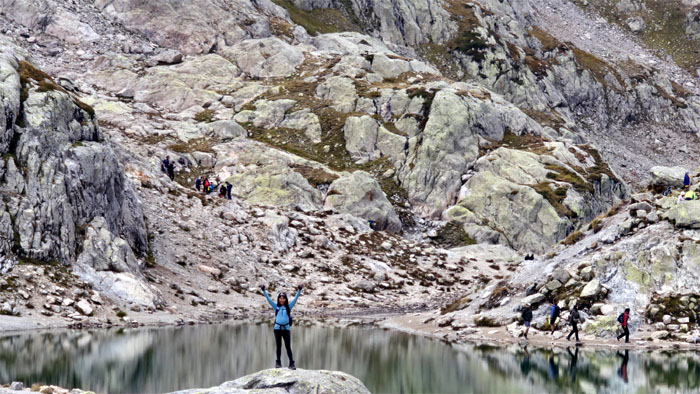
Jumping for joy.
TMB Trail
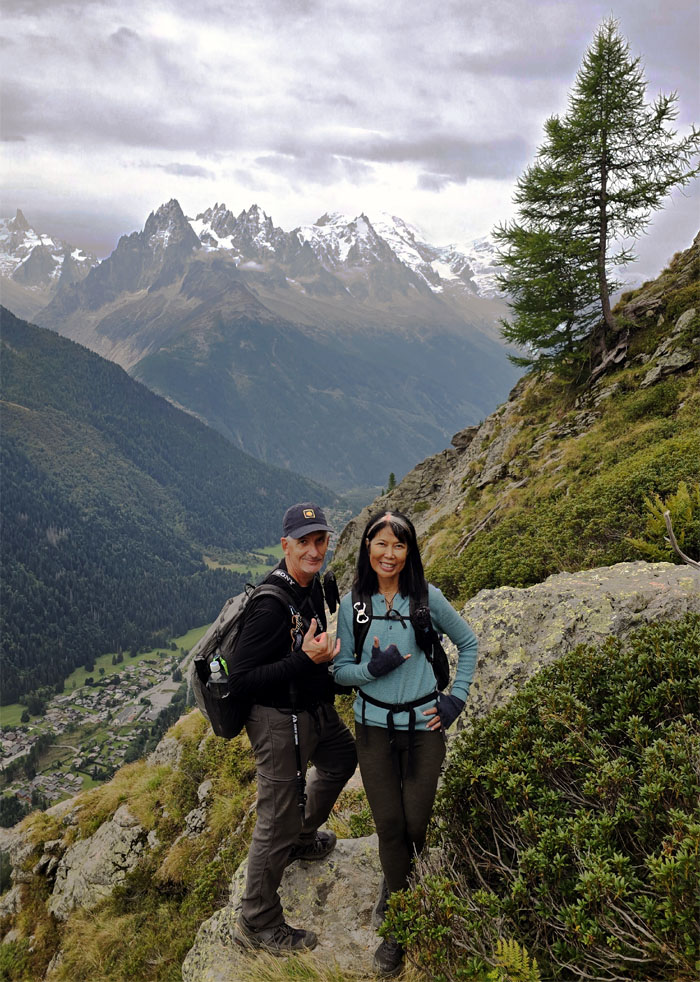
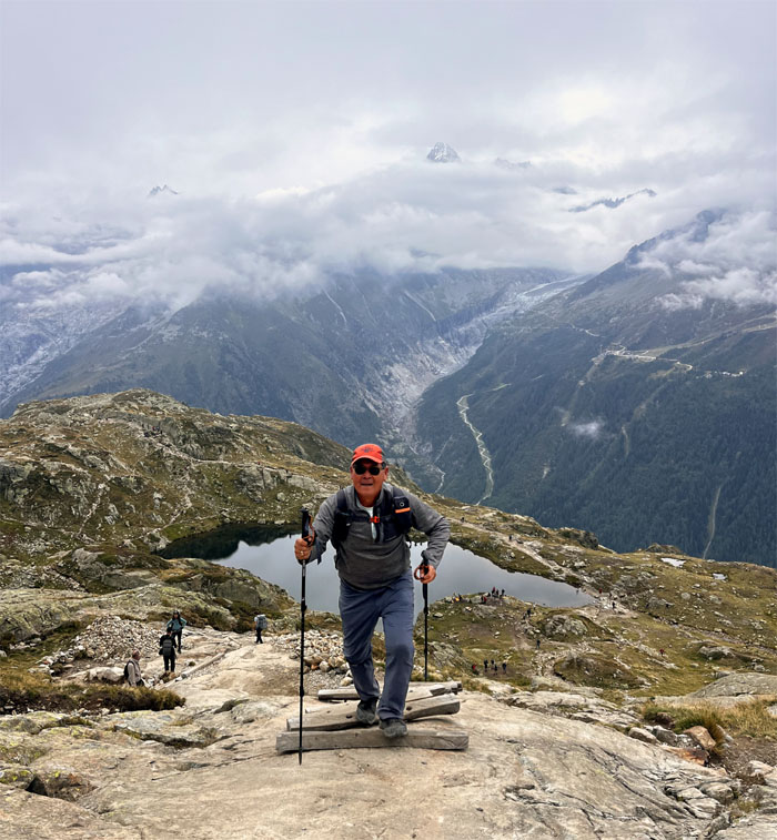
Mari striking a pose against the backdrop of the Mont Blanc massif mountain range.
TMB Trail
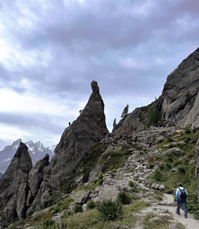
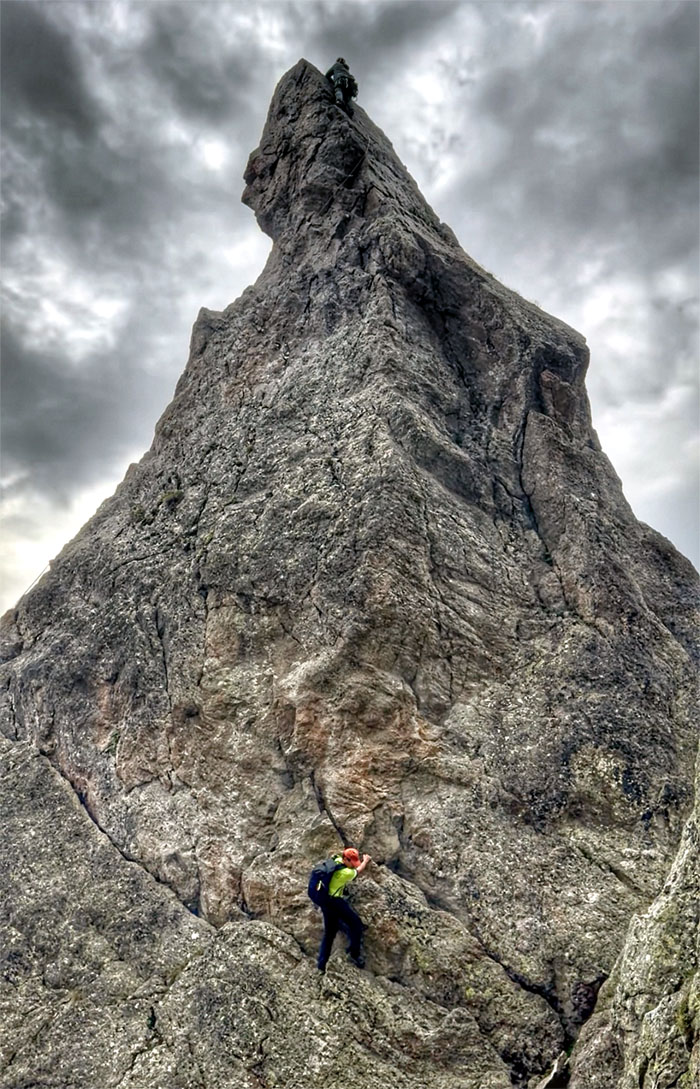
Approaching the rock formation called Aiguillette d’Argentiere, which serves as the springboard for aspiring alpinists.
TMB Trail
There are alternative paths that significantly change the experience of the trail. Is this such a variant?
TMB Trail
Group photo with Aiguillette d’Argentiere in the background and her two hikers perched at the summit.
TMB Trail
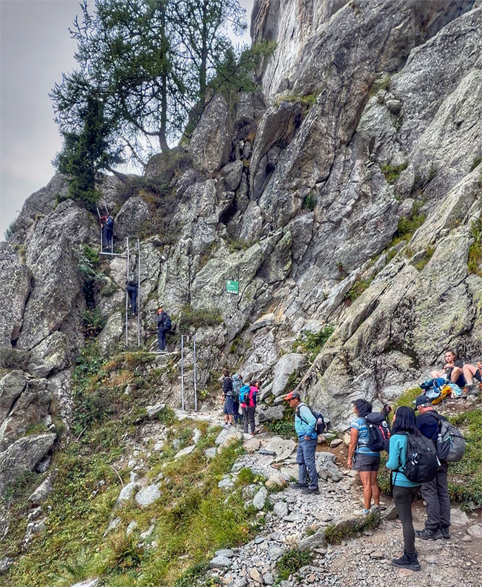
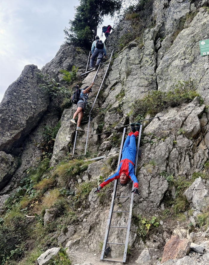
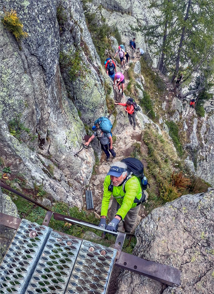
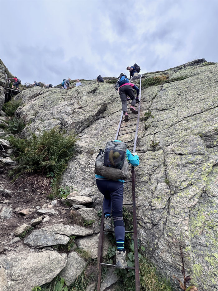
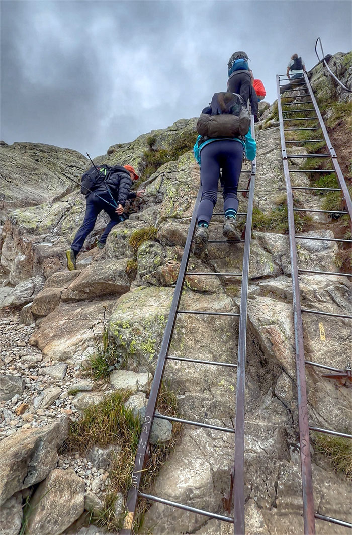
Climbing queue to go up the “infamous” ladder section which is also part of the Aiguilles Rouges National Nature Reserve that was created in 1974 and covers 8,100 acres.
TMB Trail
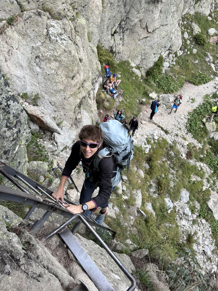
Sylvia following me up the ladder. This is where bottlenecks happen as the line becomes easily backed up and sometimes two-way traffic flow adds to the congestion.
TMB Trail
Spider-Man climbs up the ladder in his own way.
TMB Trail
Robin climbing up from the base.
TMB Trail
Mari traversing across a narrow stretch with the assistance of a bolted cable.
TMB Trail
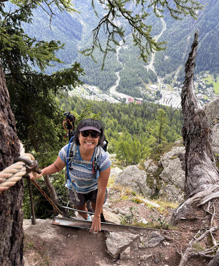
“Deb, tell me again why this is fun?”
TMB Trail
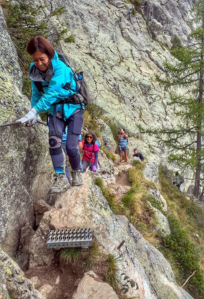
Chico climbing up a short and steep ladder.
TMB Trail
Aida and Roger between steps and ladders.
TMB Trail
Back on the ladders.
TMB Trail
Those with an aversion to the inclined metal rungs can take the variant Col des Montets trail which avoids them altogether. But we did not have such an aversion.

TMB Trail
Aida soaking in the views.
TMB Trail
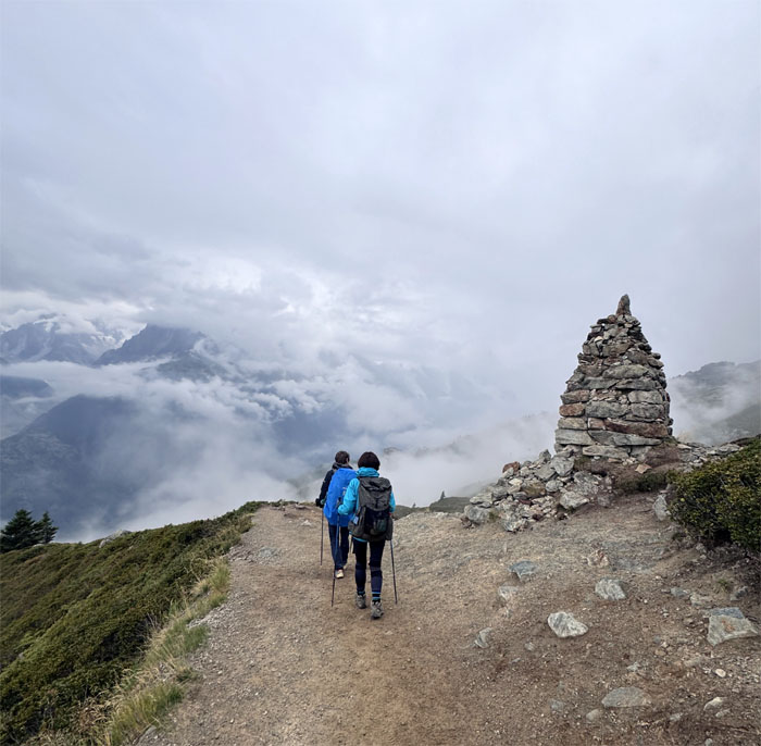
Somebody in a red and blue costume was making their way up the Balcon Sud trail, so named because the path provides unmatched panoramic views of the Southern side of the Mont Blanc massif.
Tete aux Vents
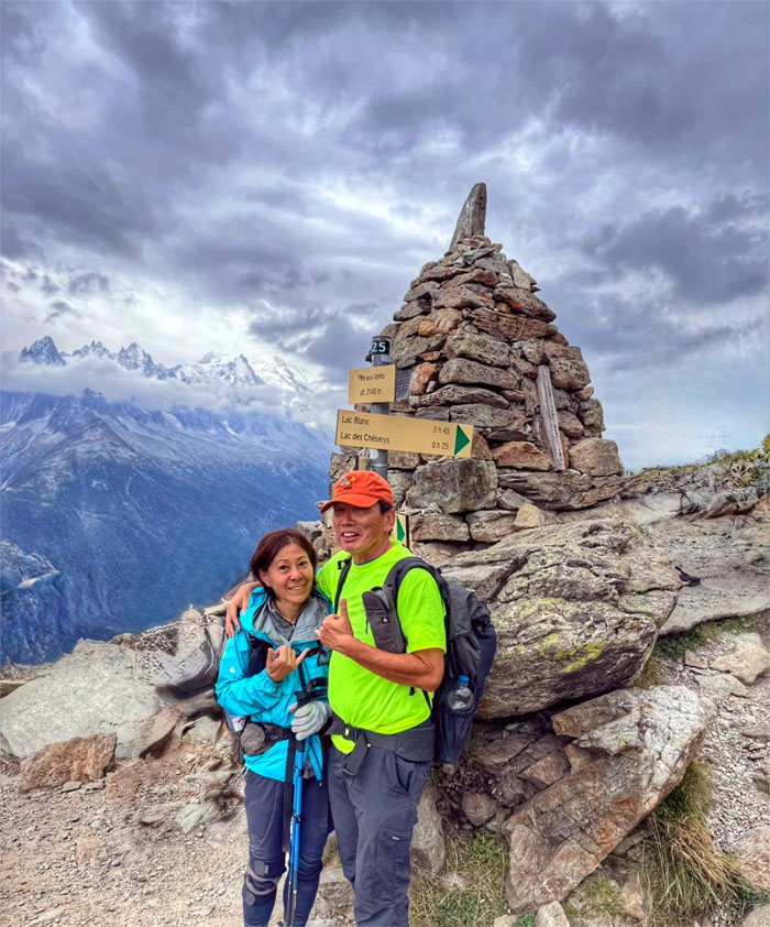
Photo at the cairn that marks 7,020′ in elevation and the junction where the traditional trail takes one to La Flegere, but we would be taking the higher variant trail to Lac Blanc.
TMB Trail
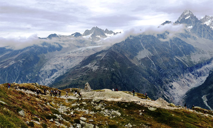
Leaving the junction as we steadily chased more elevation.
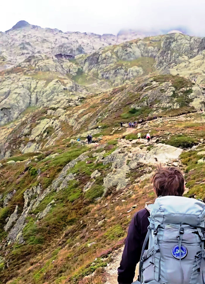
TMB Trail
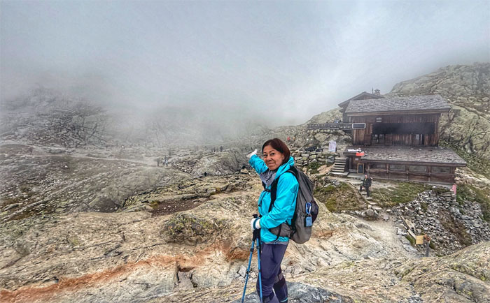
Looking ahead to the rustic mountain hut that dominates Chamonix Valley.
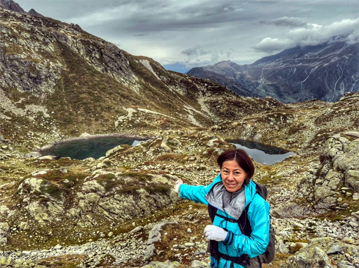
Lac des Cheserys
We soon arrived at the string of five alpine lakes that populate this side of the mountain.
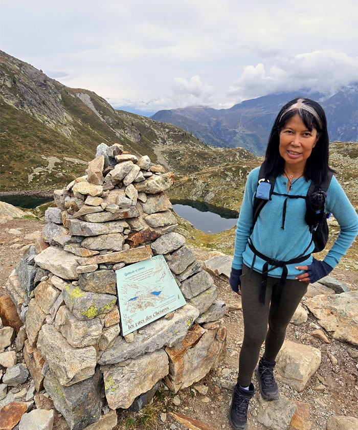
Lac des Cheserys
Aida next to the cairn that marks the 7,350′ elevation.
Lac des Cheserys
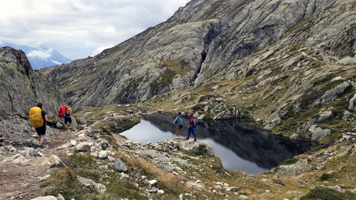
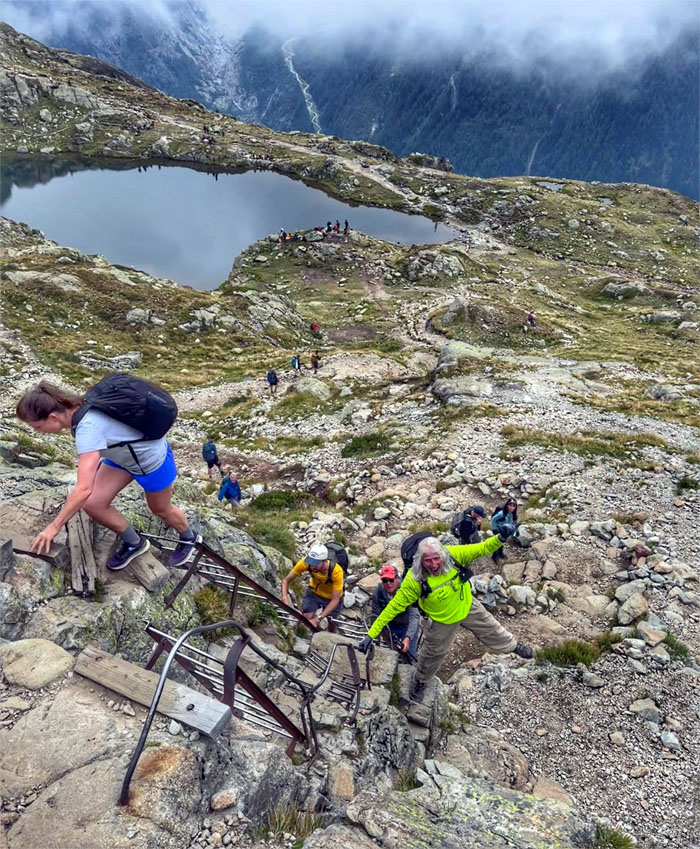
Ferlino and Robin overlooking the largest of the five lakes, where we noticed ladders at the end of the lake which previously helped hikers enter and exit the body of water. Swimming is now prohibited for safety and preservation reasons.
Lac des Cheserys
If you can’t swim, might as well enjoy the views.
TMB Trail
“Ladders? We don’t need no stinking ladders!” repeating the widely quoted paraphrase of a paraphrase.
TMB Trail
Chico failing to maintain his three points of contact as we left the alpine lakes behind us.
TMB Trail
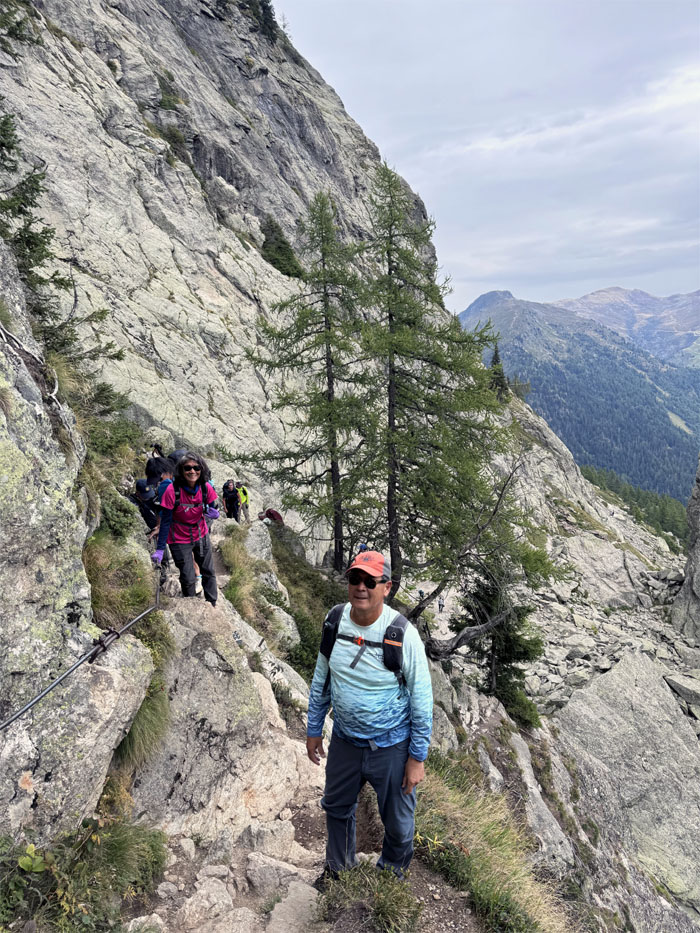
Patrick charging up the trail, looking for that elusive “fun” that he was asking about the whole time on the trail.
Refuge du Lac Blanc
Mari topping out at the highest point on the trail at 7,716′ elevation.
Lac Blanc
Somebody was smart and went straight to the lake for the views before eating lunch.
Refuge du Lac Blanc
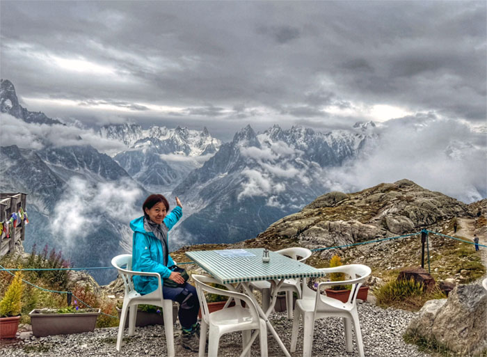
Table with a view. Understatement of the year.
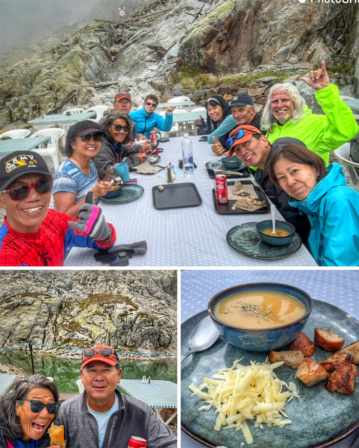
Refuge du Lac Blanc
Sights and smells of hot vegetable soup, hot dog and chilled soda on this chilly day sent our packed tin lunch out the window. Sorry Sylvia.
Lac Blanc
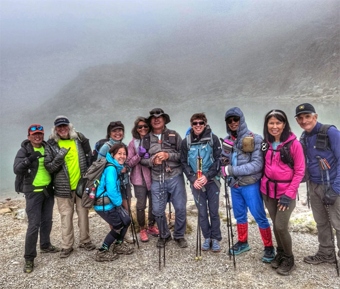
Group photo in front of the cloud diffused view of the lake. Oh well, at least our tummies were full of hot soup and meat byproducts and carbonated sugary liquids.
TMB Trail
Sylvia said there were rumors of rain in our forecast, so we quickened our pace during our descent.
TMB Trail
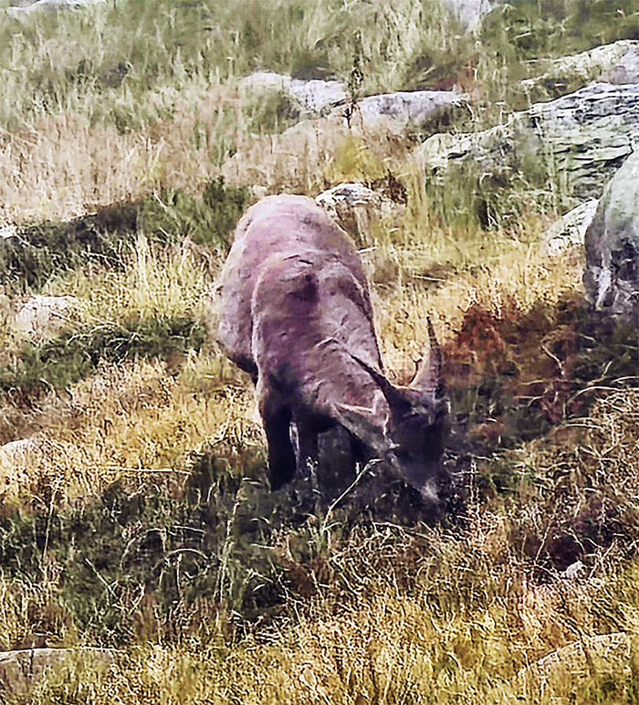
We saw a pair of female alpine ibex which was near the brink of extinction by the 19th century, but has been successfully reintroduced to its natural habitat.
TMB Trail
Passing another alpine lake on our way down.
TMB Trail
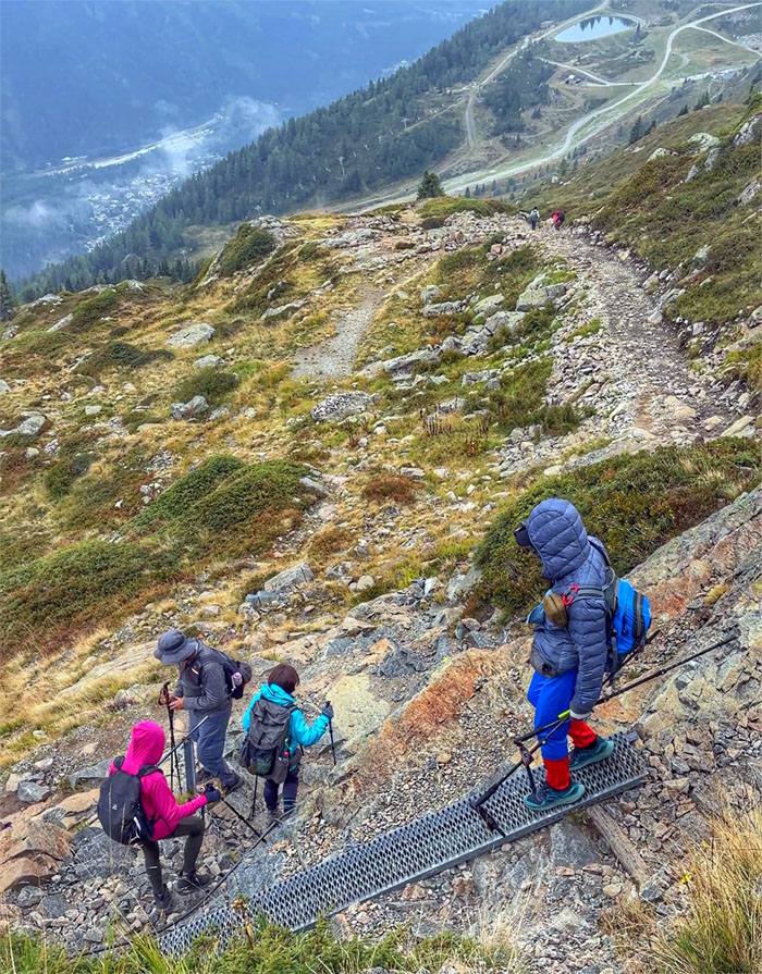
Switch backing our way down as we alternated between metal and ground.
TMB Trail
Passing an unmarked cairn on the trail, perhaps to symbolize that we were almost there! There were also abundant blueberries on the trail for snacking.
TMB Trail
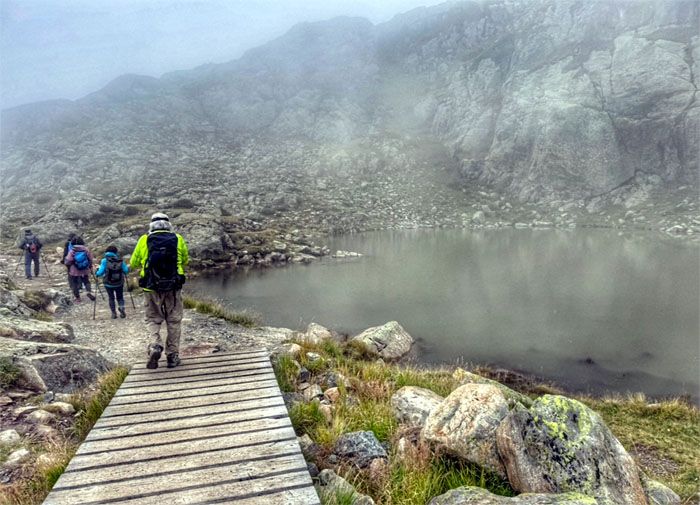
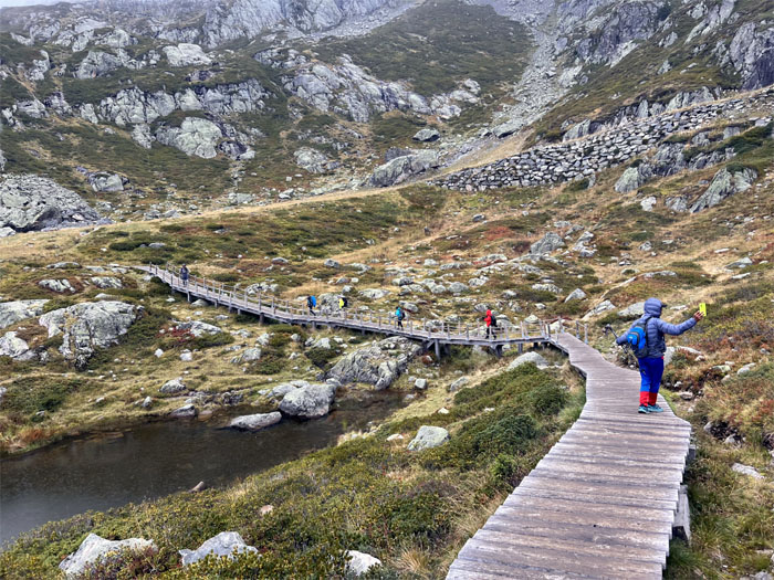
Traversing the boardwalk around Lac de la Flegere with muted views of the mountains.
TMB Trail
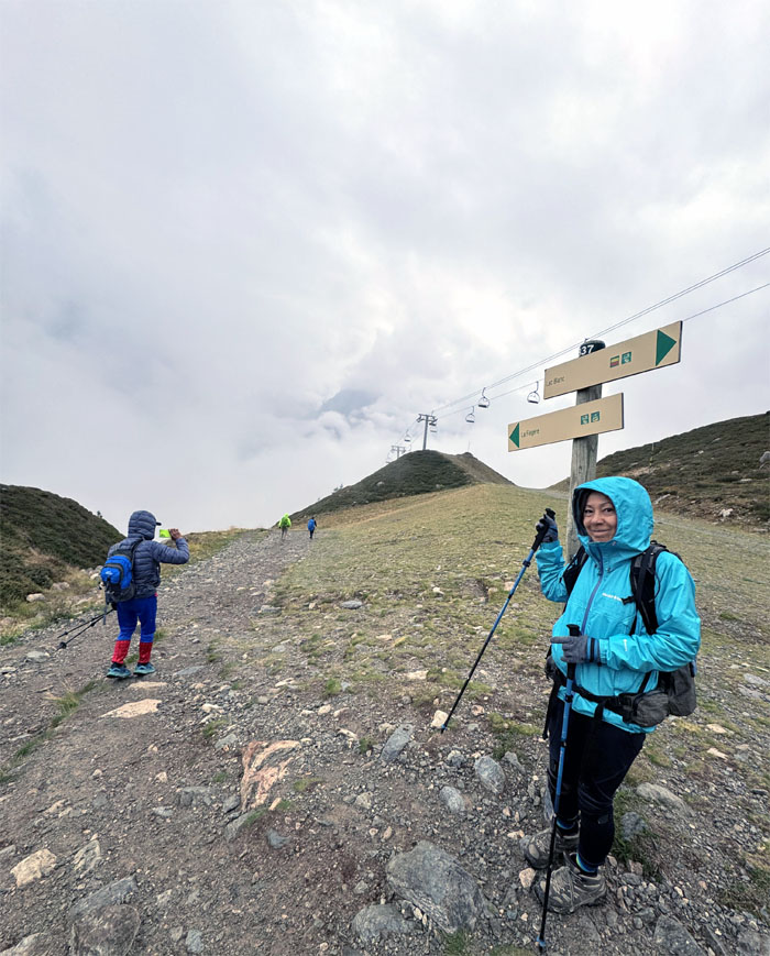
Walking near the Index Chairlift which takes skiers and hikers further up to the “roof” of Europe at 8,514′ in elevation when working. Not today.

La Flegere
Photo finish at the 6,175′ resort popular with skiers and hikers alike.
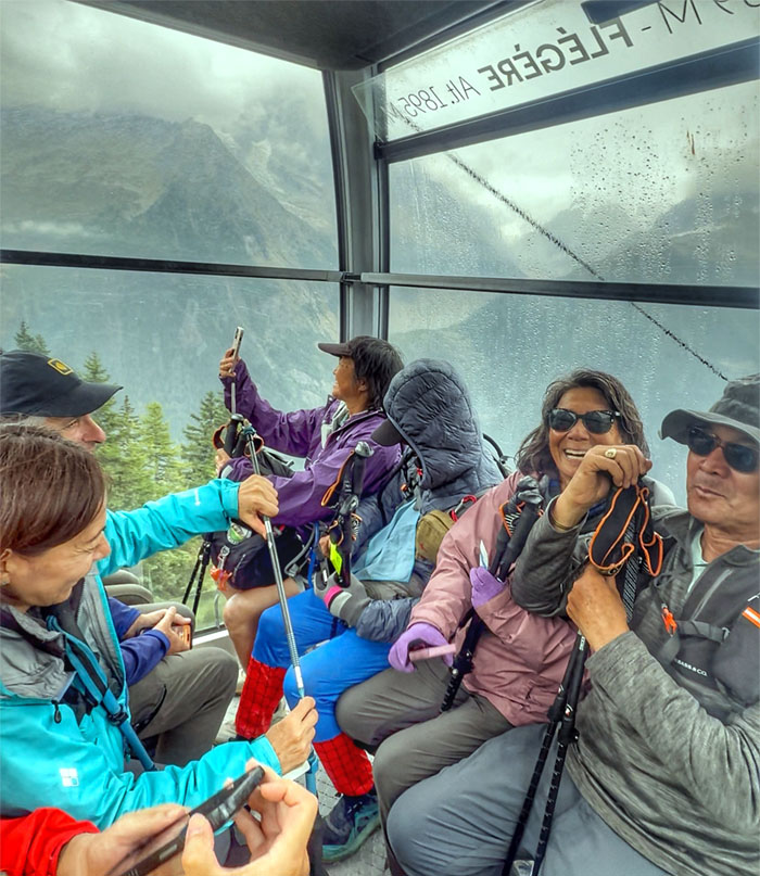
La Flegere
All smiles in the aerial ski lift that was first installed in 1956 and updated numerous times over the years.
Les Praz
We lost over 2,729′ of elevation during our ride down to the picturesque village on the outskirts of Chamonix, which has been inhabited since 1091. We were finished and the fun was done. Yay!
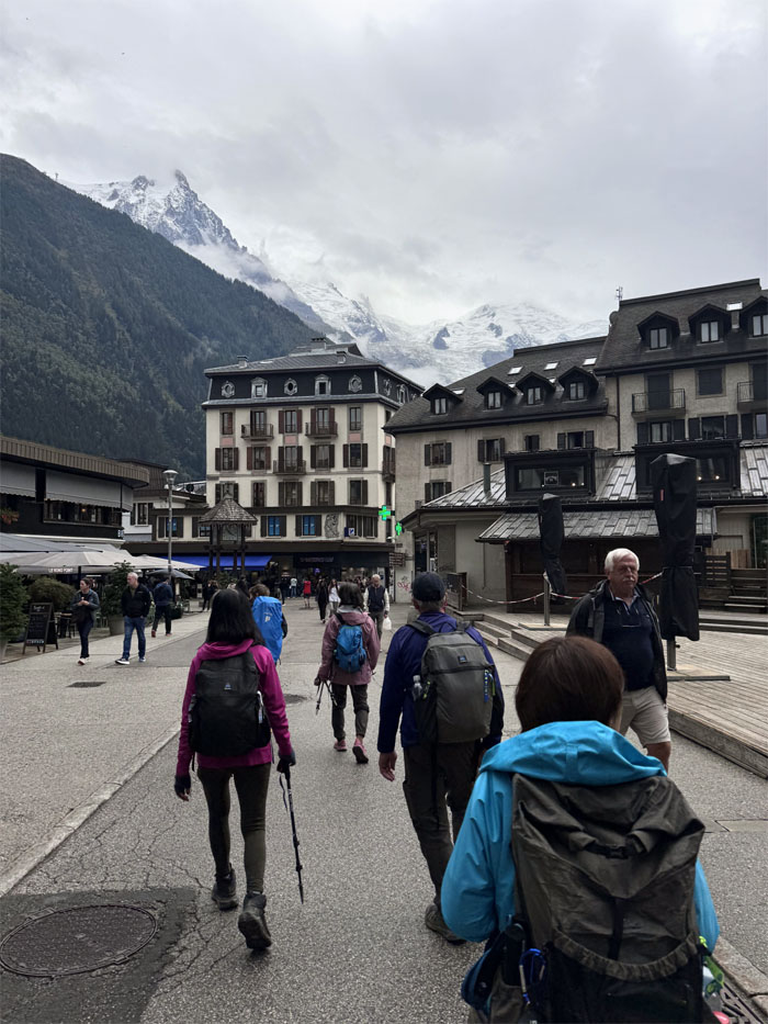
Chamonix
The bus dropped us off back to the town where we had started and the pink hotel with the world famous hospitality that we had missed on the trail.
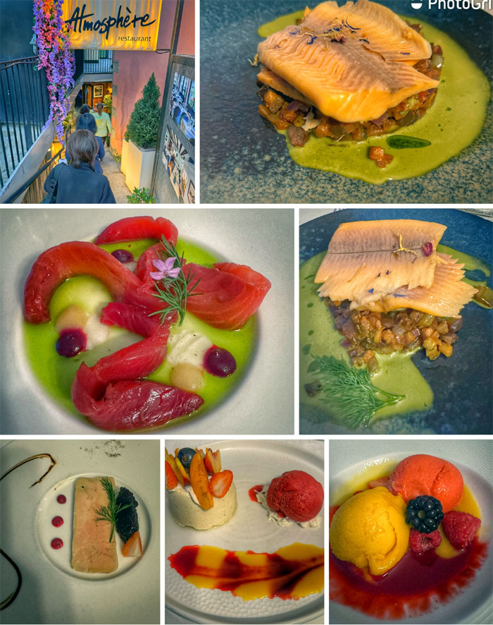
Atmosphere
Our last dinner together was at the popular alpine restaurant in the heart of town where we were joined by the Tom’s daughter and friend who had just completed the entire TMB trail themselves. The dinner dishes were full of flavor and artfully crafted which was pleasing to the eye and the stomach.
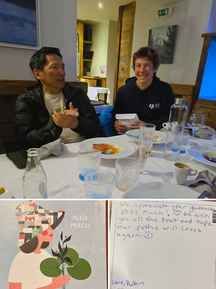
Atmosphere
Collectively we chipped in and gave a monetary gift of gratitude to our guide, Sylvia Frappier who provided a memorable experience for our group.
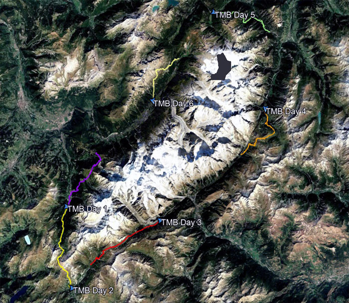
GPS Tracks
Our abbreviated version of the TMB covered a total of 51.73 miles around the massive Mont Blanc that subjectively highlighted the best views and trail experiences. Bravo to the group for starting and finishing strong and more importantly we all did the hike in good company and spirits and all finished safe and sound.
Photos taken by Aida Gordon, Chico Cantu, Deborah Tom, Ferlino Carinio, Mari Saito, Patrick Tom, Robin Farr, Roger Schiffman, and yours truly. Not necessarily in order.
Note: I have been made aware that some hikers have been using my blog as a hiking guide and getting lost on the trails. Please note that this blog was made to document the hike for the crew(s) that did it. That is why some of my comments will seem to have no relevance or meaning to anybody outside of the crew(s) that hiked that trail. My blog was never meant as a hiking guide, so please do not treat it as such. If you find inspiration and entertainment from these hikes, that is more than enough. If you plan on replicating these hikes, do so in the knowledge that you should do your own research accordingly as trail conditions, access, legalities and so forth are constantly in flux. What was current today is most likely yesterdays news. Please be prepared to accept any risks and responsibilities on your own as you should know your own limitations, experience and abilities before you even set foot on a trail, as even the “simplest” or “easiest” of trails can present potential pitfalls for even the most “experienced” hikers. One should also always let somebody know of your hiking plans in case something doesn’t go as planned, better safe than sorry.
{ 0 comments… add one now }