
Unable to find any hiking buddies today, I settled on an easy hike to do by myself.
Trailhead
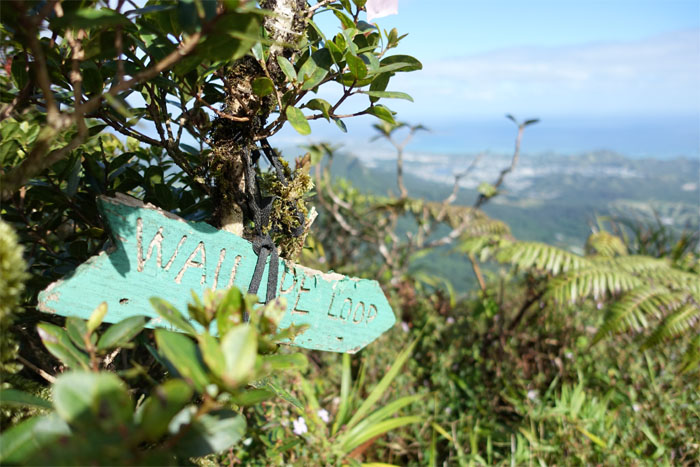
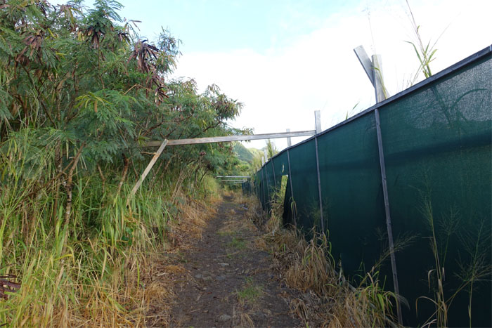
I parked at the end of Hao Street in Aina Haina and found a dust fence bordering the trailhead. Read that developer Jeff Stone bought a chunk of land in this area, hope access is not shut off.
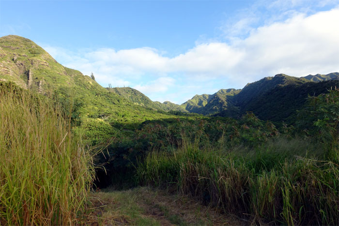
Wailupe Valley
The hike started under canopy cover and oddly no mosquitoes. Not complaining.
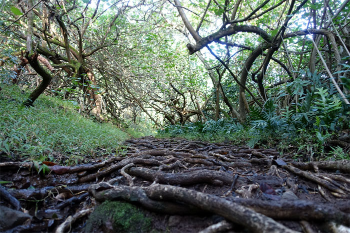
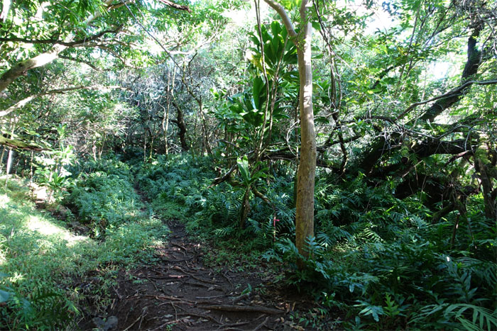
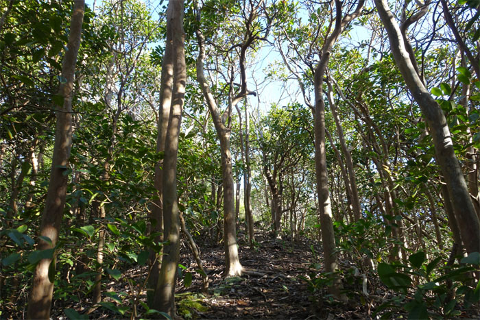
Root trail
The trail alternated between mud, rocks and tree roots. All good to have underneath your feet.
Junction
I soon came across this junction that would drop me further down into the valley. There are many side trails that can lead one astray. Thanks to Troy Solano for providing me the GPS tracks.
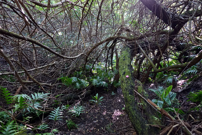
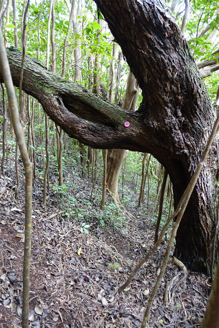
Follow the pink bottle caps
The trail down was punctuated by pink bottle caps and ribbons.
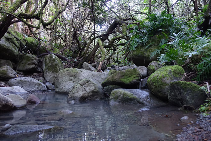
Stream crossing
Crossed the stream about three times, with varying degrees of depth. Inches to be exact.
Uphill
I soon began the slog up the middle ridge that was populated by canopy cover and a semi-dense blanket of uluhe ferns.

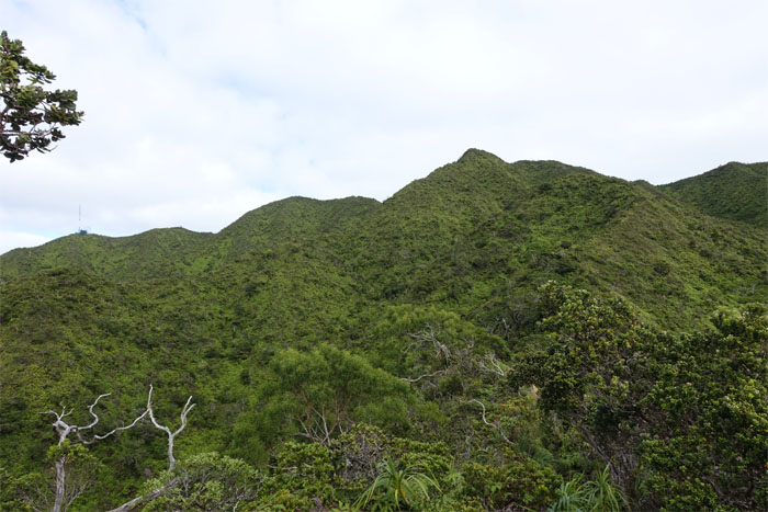
Wailupe Middle Ridge
Walking along the exposed and relatively flat section of the ridge, trade winds would have been nice. I had the ridge all to myself, not another soul in sight.
Straight up
The canopy cover returned along with a somewhat steep climb.

Tree fungi
Doesn’t look too appetizing. No stir fry dinner for me tonight.
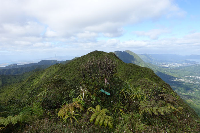
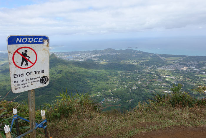
Final push
I can see the summit! Actually it’s behind a false peak.
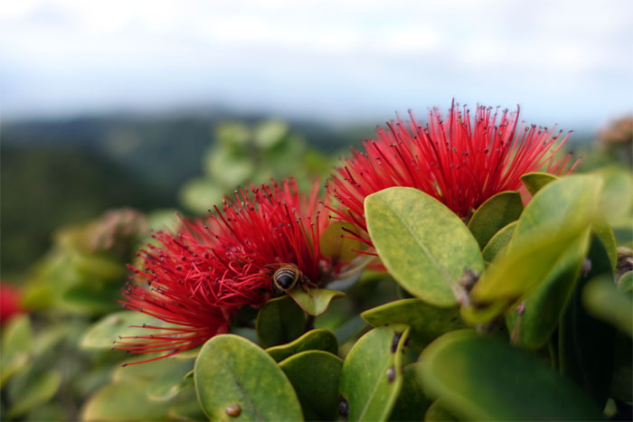
Red Lehua Flowers
No picking of the flowers. Don’t want any rain on my parade today.
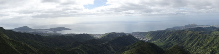
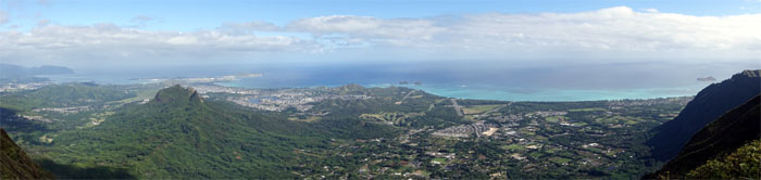
Panoramic view
Click here for the larger image.

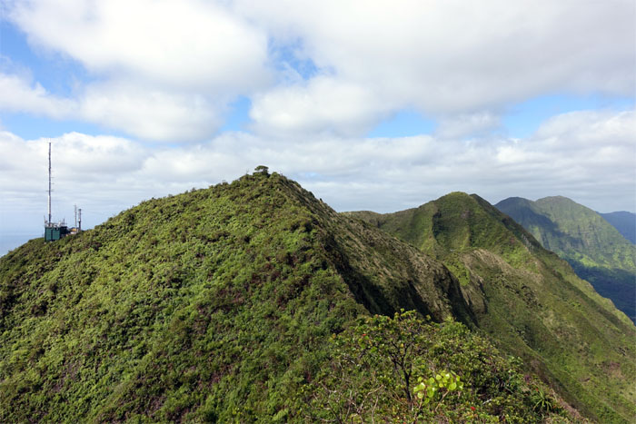
Wailupe summit
I was expecting high winds at the 2,403′ summit. Only a slight breeze greeted my arrival. That’s what I get for believing in the weather forecast. Gullible as charged.
Panoramic view
Click here for the larger image.
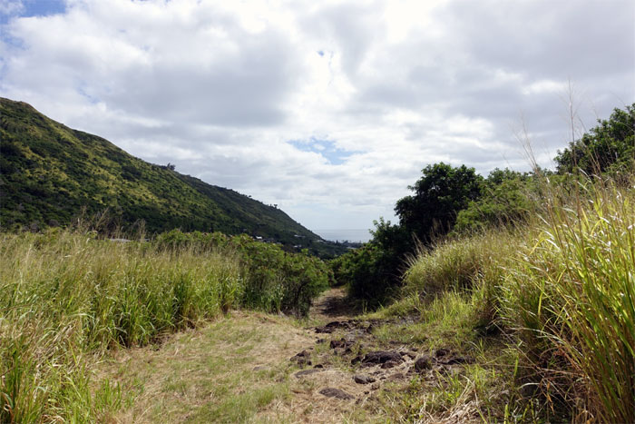
Headed north
After chugging down some cold Gatorade and munching on peanut butter filled pretzels, I turned North on the Ko’olau Summit Ridge Trail.
On the KSRT
The trail was quite muddy from the storm that lashed the islands this past Friday. Slipped on my butt a couple times, as the trail rollercoasters up and down.
Wiliwilinui summit
The cross over was the shortest one I have done, took less than half an hour to make it from Wailupe to Wiliwilinui summits.
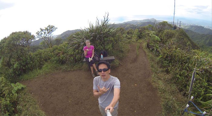
Photobomber!
Met another hiker at the summit.
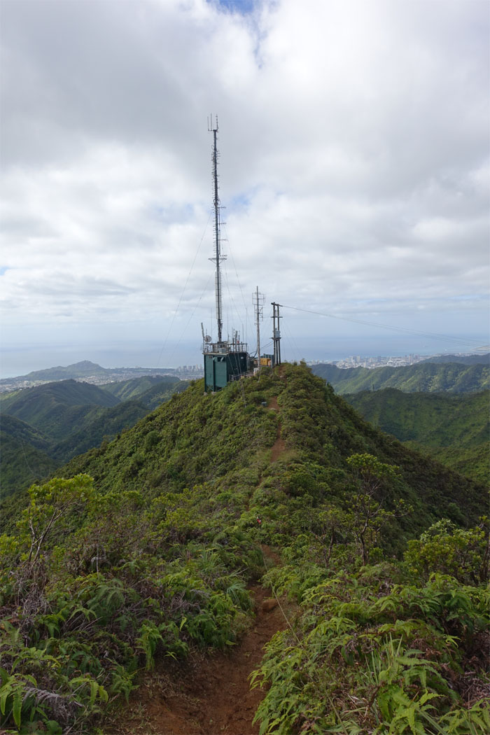
Headed down
Making my way down past the relay station tower.
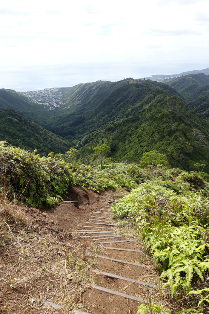
Stepped trail
Going down the State trail, I passed quite a few hikers making their way up to the summit.
Powerlines
Walking on the flat part of the ridge. The power lines follow the ridge for the most part.
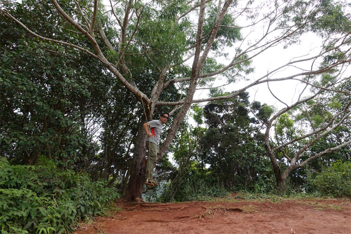
Swinger
I need a push!
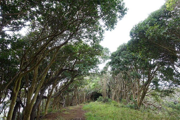
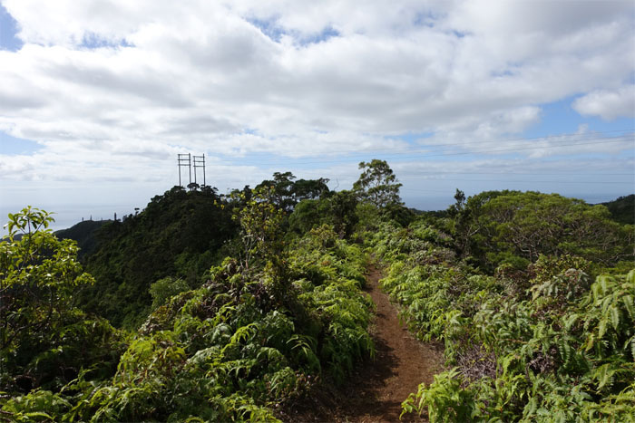
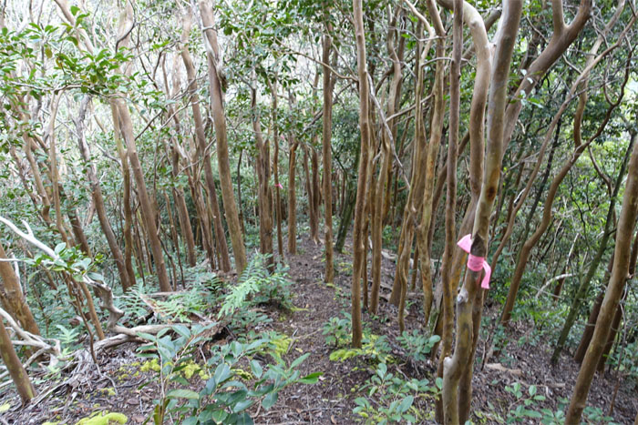
Tree lined trail
Looked like the hand of man was involved on this trail section, rather than Mother Nature.
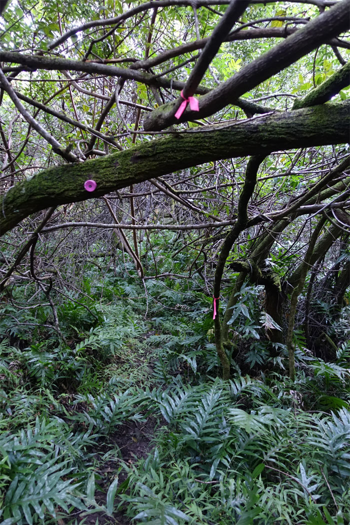
Junction
A pink bottle cap marked the way down into Wailupe Valley.
Down into the valley
Going down was somewhat steep at times, but the ample presence of trees came in use as handy brakes.
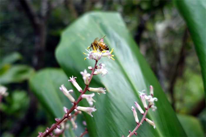
Pollinator
More bees at work.
Follow the pink ribbons
The trail down was marked at regular intervals with pink bottle caps or ribbons. Once the trail dumps you back down into the valley floor, the ribbons become somewhat scarce and the side trails seemed to proliferate. The GPS tracks came in handy.
All pau
Making my way back to the car.
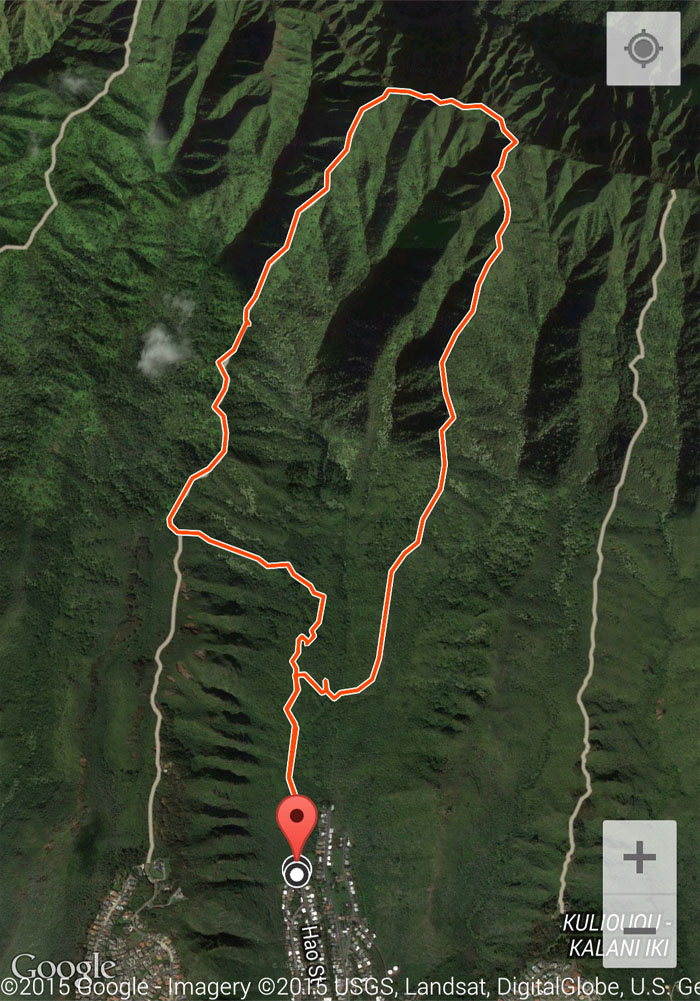
GPS Tracks
The loop hike involved two ridges and a brief cross over that covered 5.63 miles. Post hike meal at McDonald’s. Miss the super size option and the company.
{ 18 comments… read them below or add one }
Good you took the correct junction, we missed the junction and went deep into the valley before realizing we missed the middle ridge. Also since you know almost all the valley junctions maybe you can do the East Honolulu Roller coaster hike one day.
Aloha Troy,
Thanks again for the tracks, helped out a lot. East Honolulu Roller Coaster Hike? Sounds like fun. Have you done it before? Where does it start and end?
Mahalo!
Hi Kenji. Can you pls email me the GPS for this hike? Many thanks .
Hi Ani,
Okay I will send it when I have resolved my computer issues.
Mahalo
Ok thanks Kenji
Could you send me the GPS for the hike?
Hello! Would you mind sending me the GPS tracks? I would love to do this hike next week!
Great write up and love your photos of the trail. We’d love your review of it here too: https://lookintohawaii.com/hawaii/47171/wailupe-loop-trail-activities-oahu-honolulu-hi
Aloha Matt,
Thanks, but I can barely keep up with my own blog. Feel free to add a link If you want.
Mahalo
I would love to print some of your photos to put on my wall. Or, do you sell them? Please let me know.
Aloha Jack,
Thanks, but I don’t sell any of my photos as they are not print worthy. Haha. If you want to print them, feel free to do so.
Mahalo
Hello Kenji! I hike with OHA and live here on Oahu. Was wondering if I could get the GPS for Wailupe? Would love to do this loop!
Aloha Krysta,
Let me look for it and will send it to you later.
Mahalo
Thank you so much!
Hi! I was wondering if I could get the GPS coordinates you’re referring to? Thanks for all the photos!
Aloha Chelsea,
If I can find it, I’ll send it your way, as it was five years ago!
Mahalo
Man creates trails, and then if allowed, Mother Nature repairs…
True, everything eventually returns to the fold of Mother Nature.