We spent the weekend in the mountains hiking a section that we usually do in a day. Change of pace. Literally.
Day 1
Thanks to Matt for dropping me off at one of the most trafficked hikes on the island in the afternoon. Somebody was running late so I decided to push off on the straight forward trail.
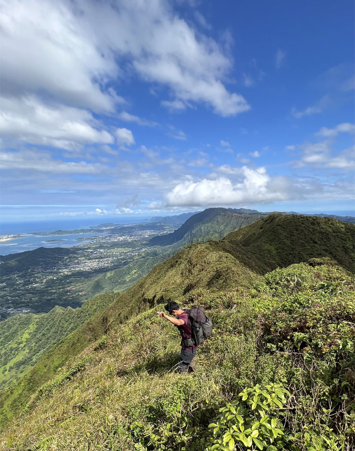
Enjoying the views while I had them from the 2,441′ hill.
I soon passed descending hikers who let me know there were two other hikers ahead of me.
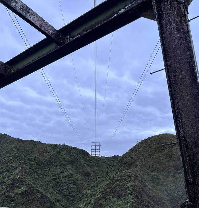
Talking to the pair whose original plans were to hike to Stairway to Hell, but the soupy weather dissuaded them and they went back down to the powerline towers to set up camp.
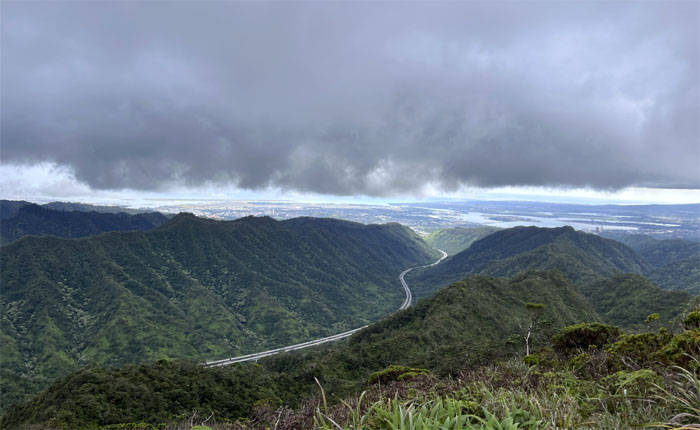
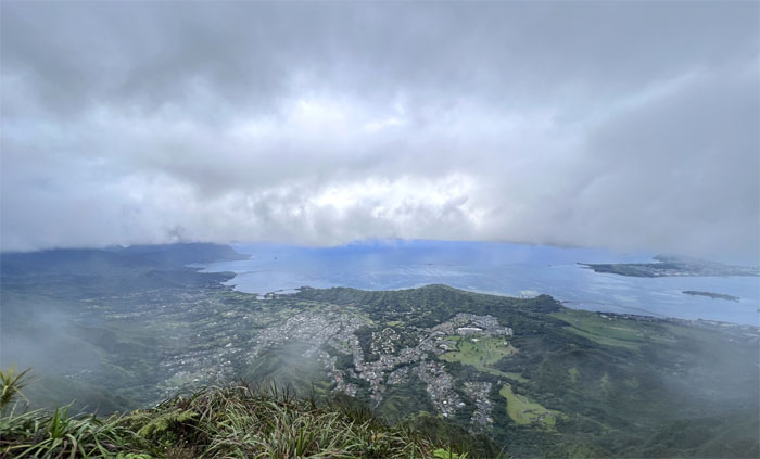
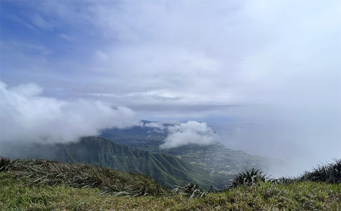
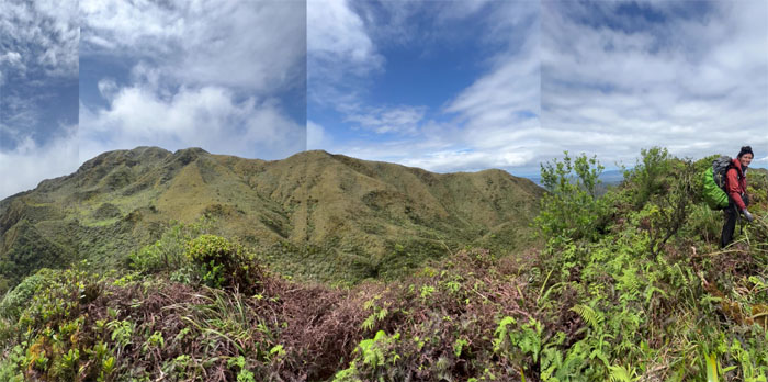
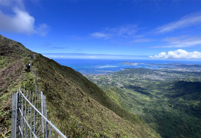
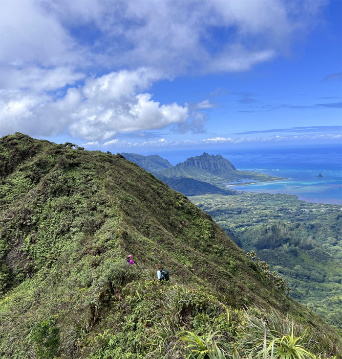
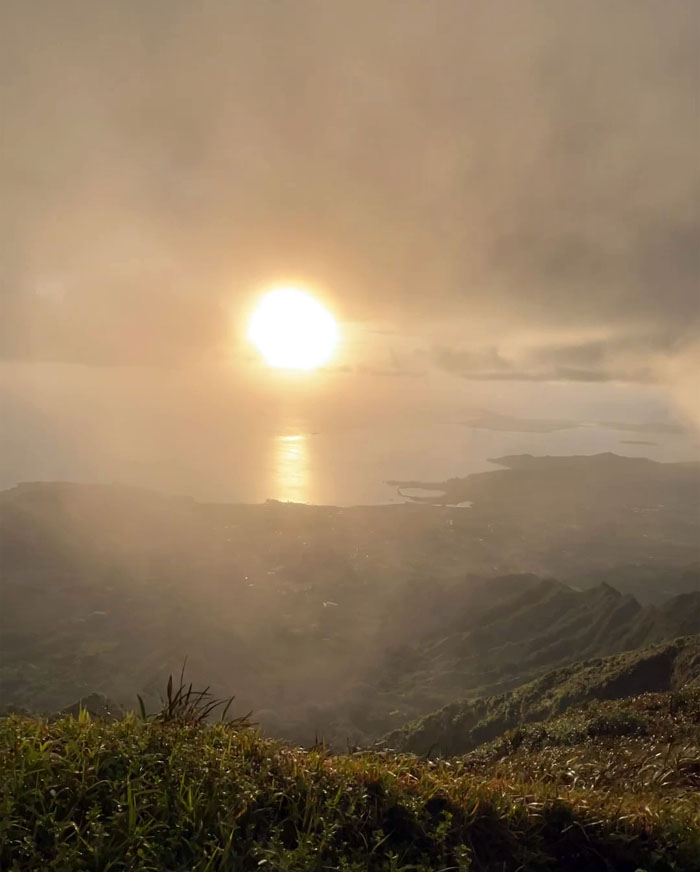
The clouds soon cleared at the 2,805′ top and revealed sweeping views of Kaneohe Bay and the Windward coastline.
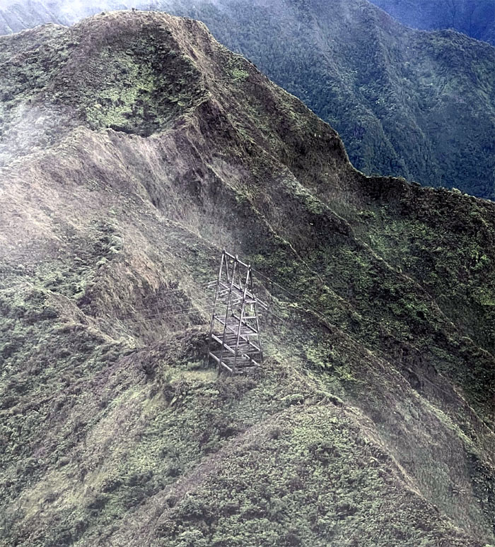
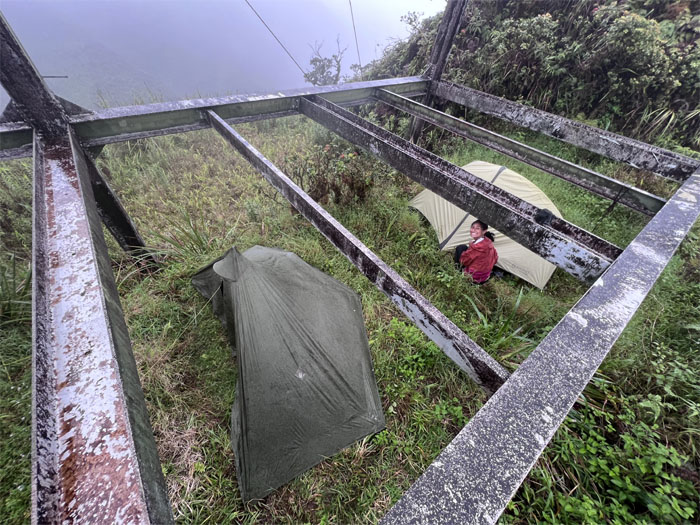
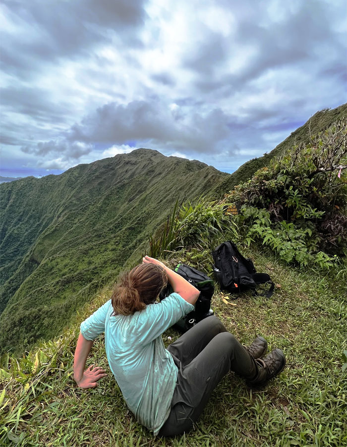
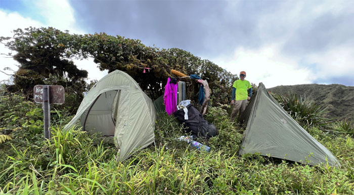
Looking down at our campsite for the night.
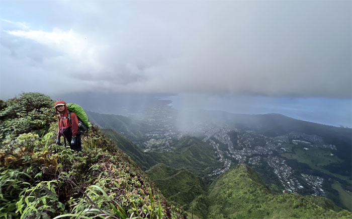
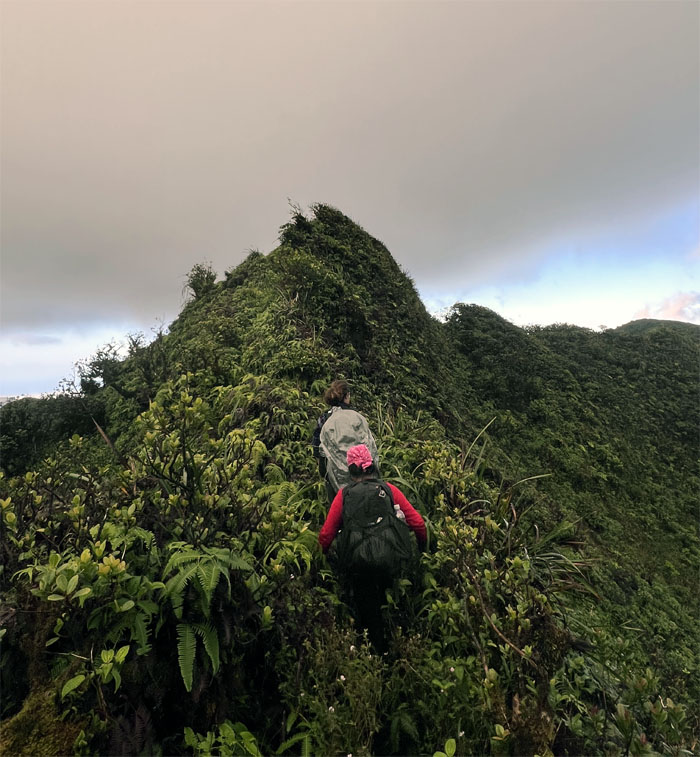
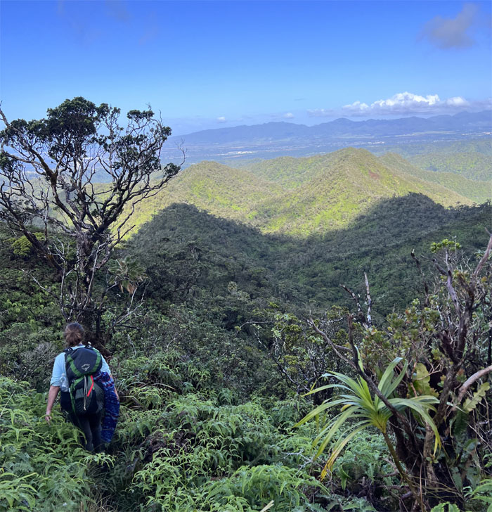
Rose soon joined me at the summit and we began our descent down the ridge line.
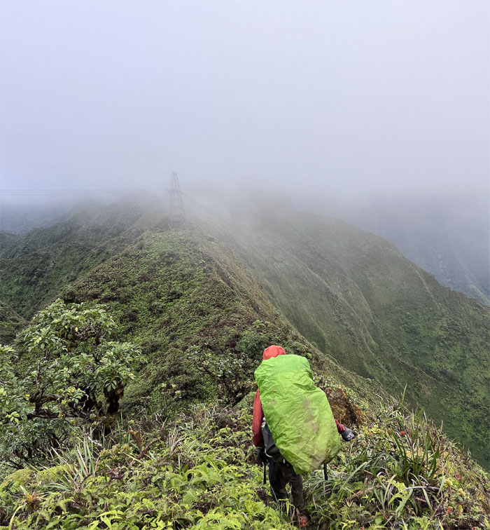
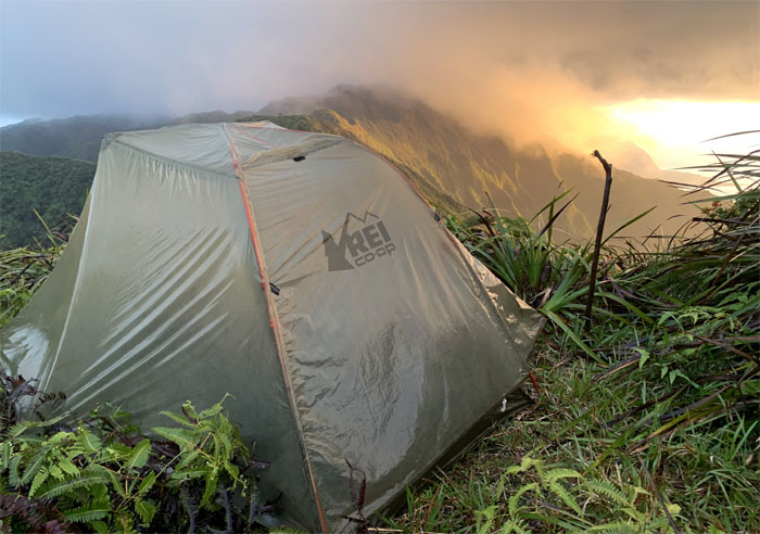
Approaching camp. Now if the rain would just cooperate and stay its hand until our tents were pitched. Thank you Mother Nature!
We retired early in the mountains to hear the sounds of voices in the far off distance. Night marchers? Also known as huaka’i po, are spirit manifestations of Hawaiian warriors that have been recorded as marching down from the mountainsides carrying torches and blowing conch shells. Bottom line, best not to mess with them.
Day 2
The next day we woke up and looked across the valley to find out the source of the voices, the two hikers who I had met earlier yesterday. Sometimes the physical world can be more scary than the spiritual world.
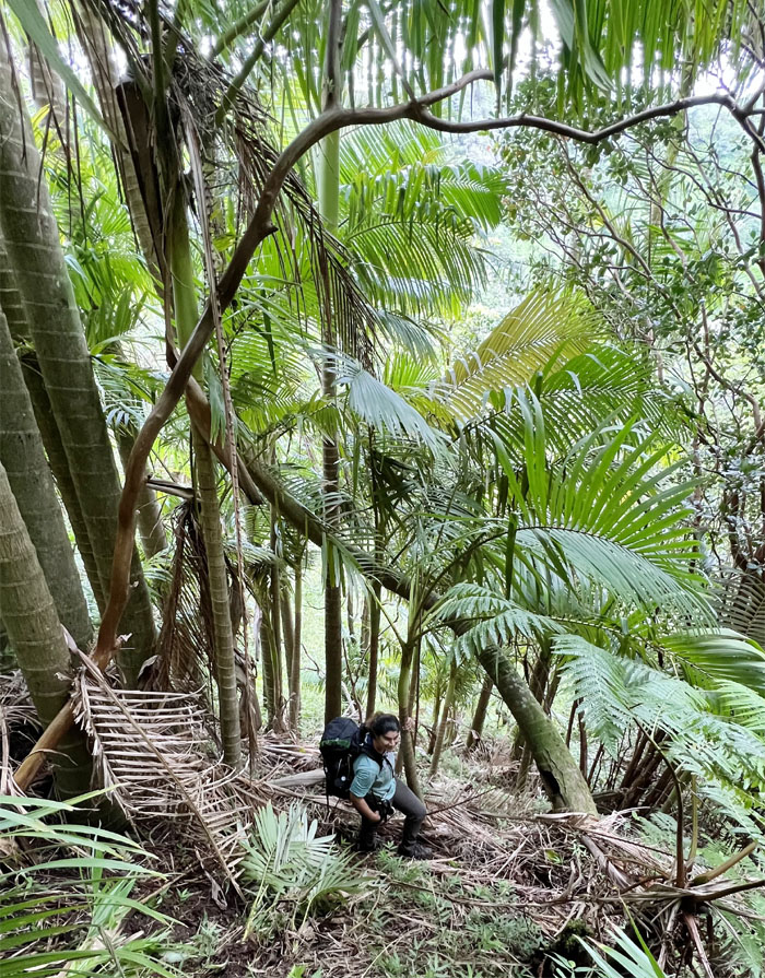
Meanwhile, down in the Pacific Palisades neighborhood, Jen and Tessa started off on what has been described as one of the best preserved graded trails built by the Civilian Conservation Corps (CCC) back in the 1930s.
We broke down camp and hit the trail with the goal of passing the invisible demarcation line of the Ko’olau Summit Ridge Trail and the Ko’olau Summit Trail. Tomato. Tomatoe.
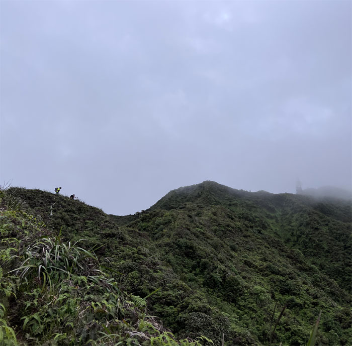
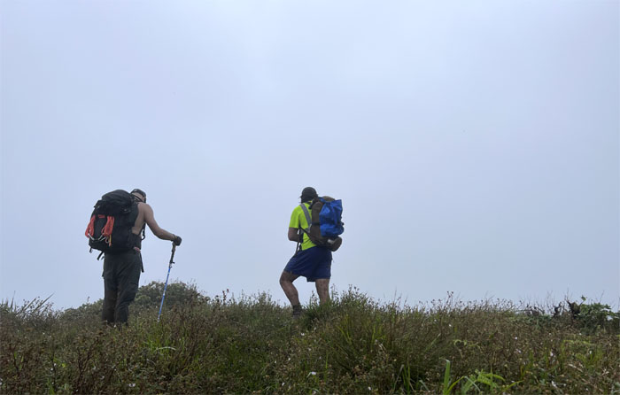
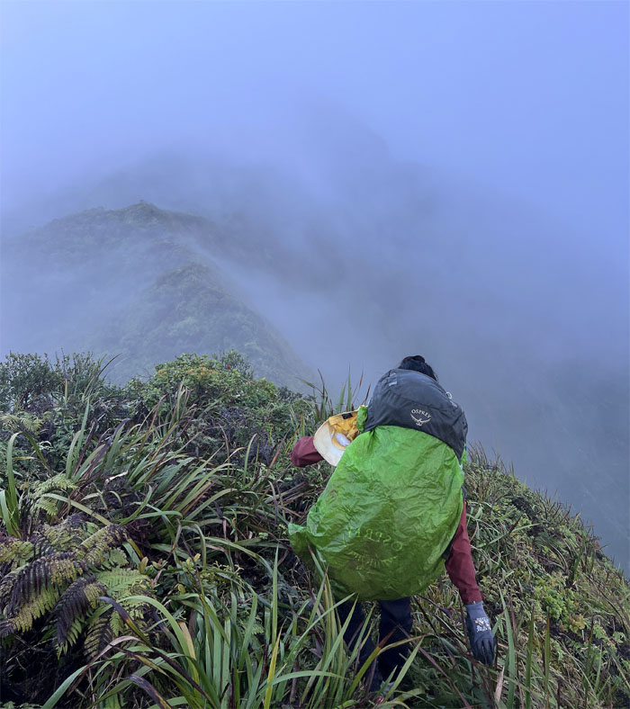
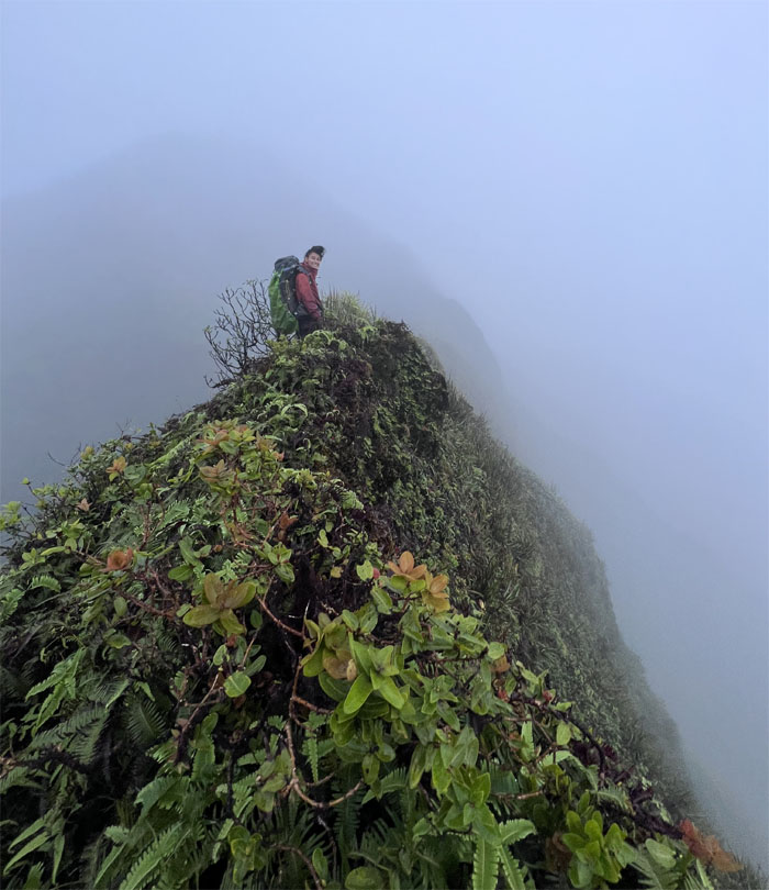
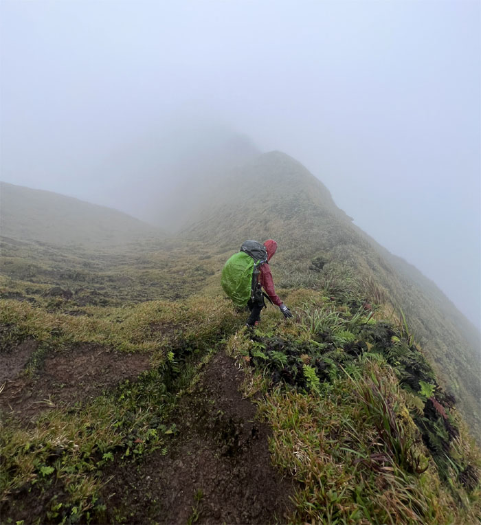
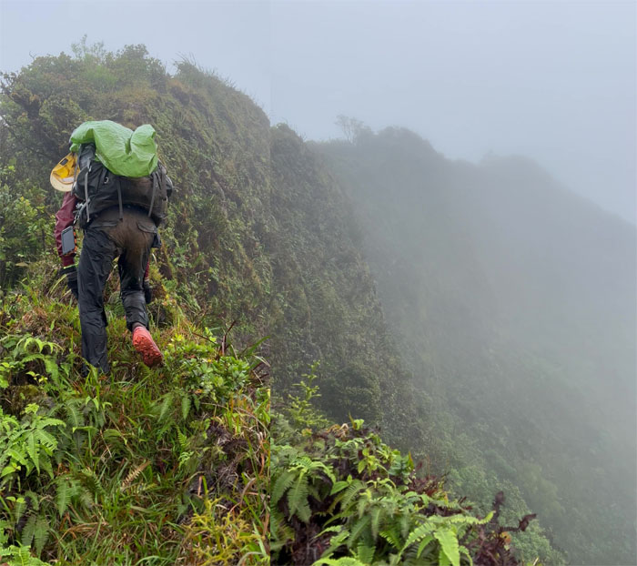
Hiking on the cloud soaked ridge line, where the views were measured in feet and not miles.
What goes down …
… must go back up.
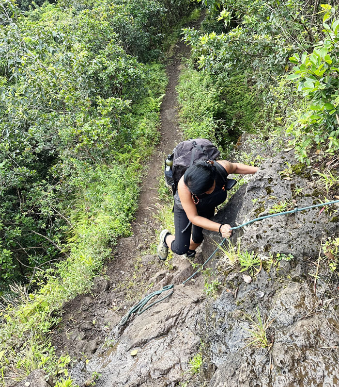
Jen switch backing her way to the summit.
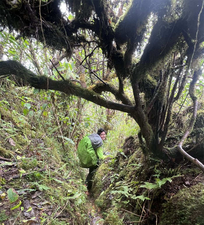
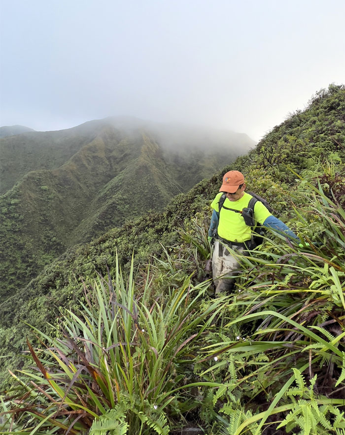
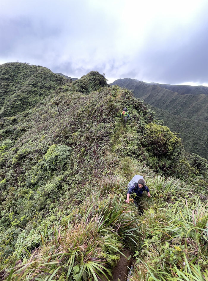
Scrambling our way through the moisture rich vegetation that was getting a steady feed from the blanket of clouds around us.
We gained the boggy summit to be greeted by parting clouds with Windward views.
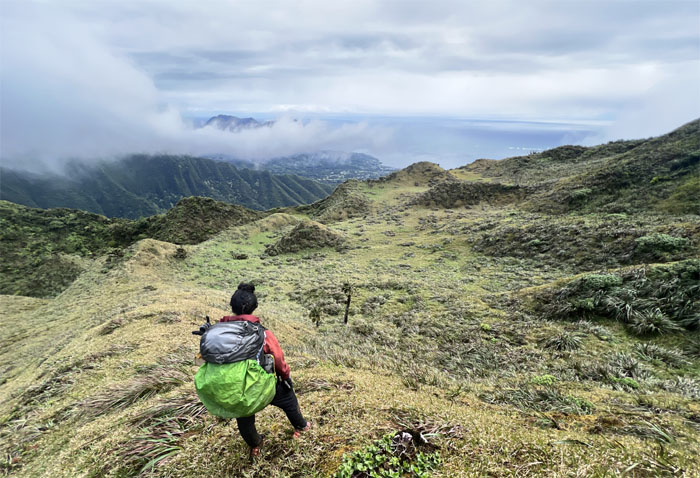
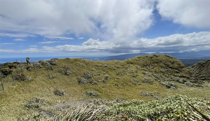
Dropping in on the mythical and magical meadows.
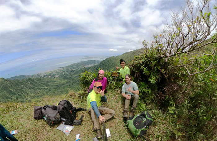
Group photo at the relatively wind and cloud free grasslands, an uncommon experience in my books.
Back on the ridge line as we left one of the largest meadows on the KST behind us.
Where are they? Did somebody rush themselves into a lather by confusing Waimano for Waimalu?
Approaching the low point in the mountains marked by a noticeable landslide.
On another ungraded trail, Chris had hopped off the delayed plane from the mainland and jumped right into the hiking frying pan. So many moving parts on different trails that would join at the summit of Manana.
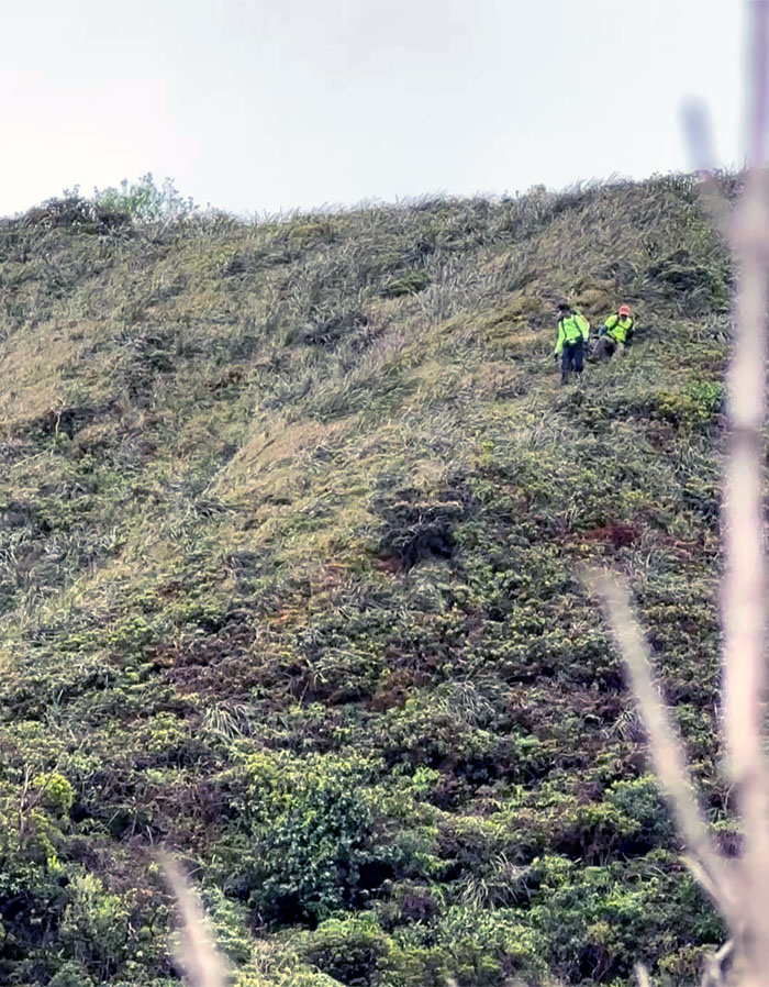
Going down the slippery slope.
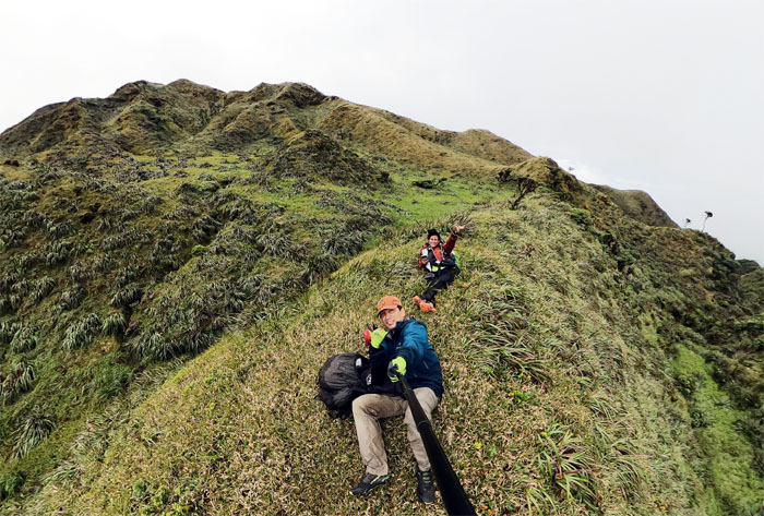
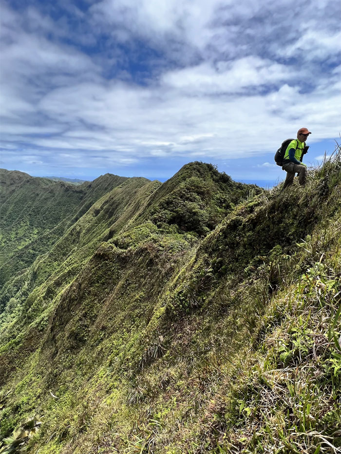
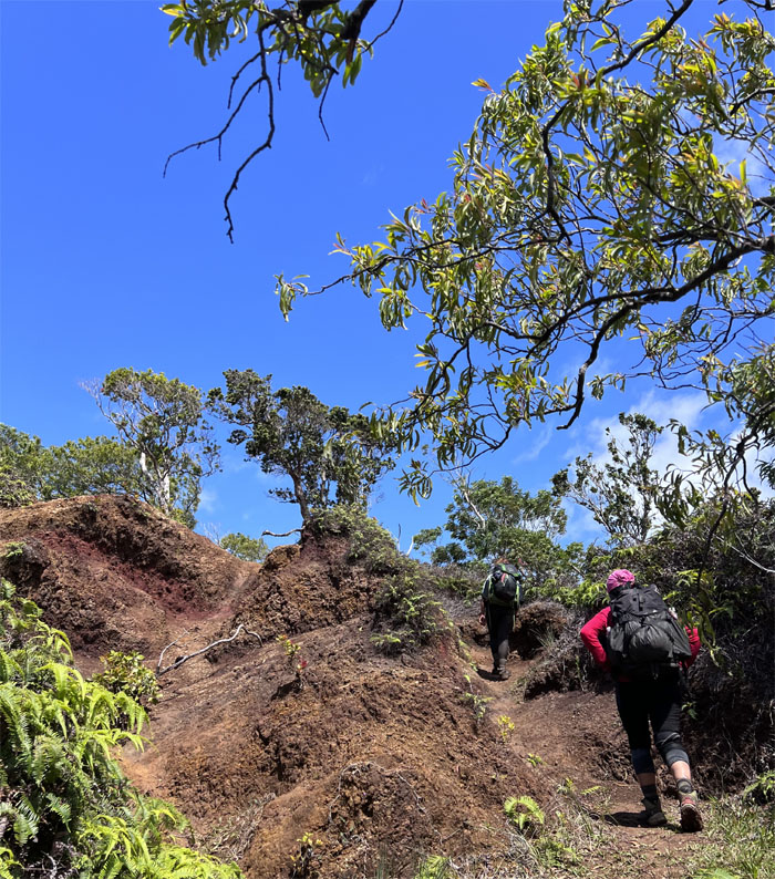
Alternating between the rut and ridge to get to the summit.
Group photo at the 2,160′ saddle before Rose took our leave of us due to mobility concerns.
Traversing over the landmark landslide.
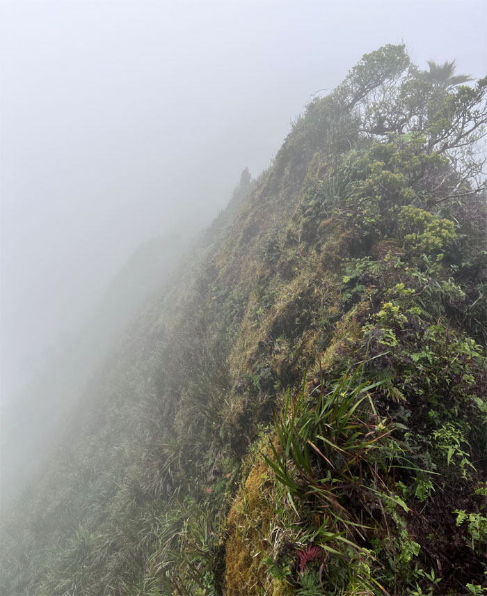
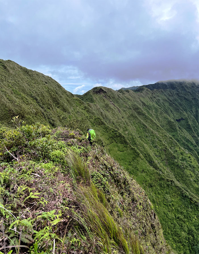
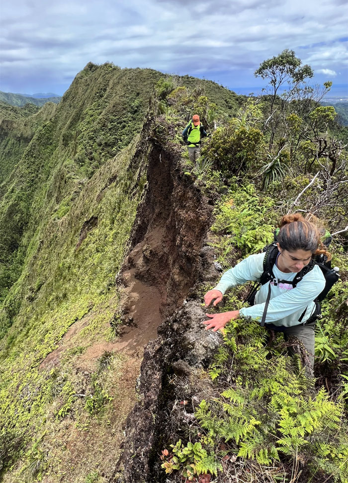
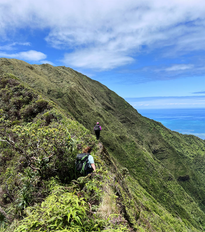
Hiking on the edge.
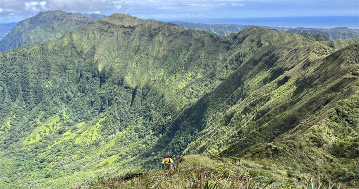
Going up the cardio intensive hill(s).
Scrambling up the last big hill towards the fenced ridge.
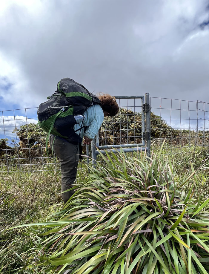
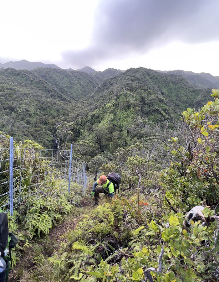
A lot of elbow grease was required to open the rusted gate. Somebody couldn’t wait and climbed over the fence.
Following the fence with sweeping views towards our right.
Taking in the “pocket” meadows.
Almost there!
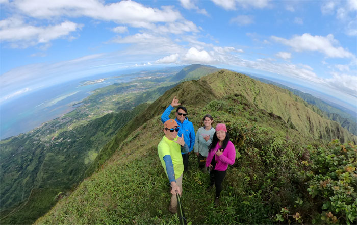
Group photo at the 2,660′ knob. Sometimes you feel like a nut and sometimes you don’t. I was definitely the Mounds candy bar today. The original plan of reaching Camp Rusty below the summit of Waiahole was swept off the table and we decided to stay put and make camp.
Due to no vacancy, Chris left to make his home at Waimano Summit.
Trying to decide who got the better spot for their tent.
We soon got a return visitor as Chris came back to borrow a battery charger for his phone and then hiked back under dwindling daylight hours.
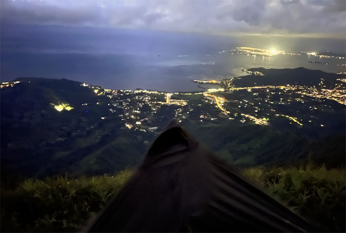
City lights.
Day 3
Chris got a sunrise inside and outside his tent.
Our sunrise viewing was kept strictly outside. We didn’t have spare tents to burn.
Going down the trail that I thought I would never step foot on again. That’s what I get for thinking.
The roller coaster of peaks and valleys and seemingly endless false peaks is why I beg to differ with Stuart Ball’s characterization of this trail as the best of of the ungraded Ko’olau ridge trails. To each their own.
Working our way through the rutted section of the trail.
Mountain shadows.
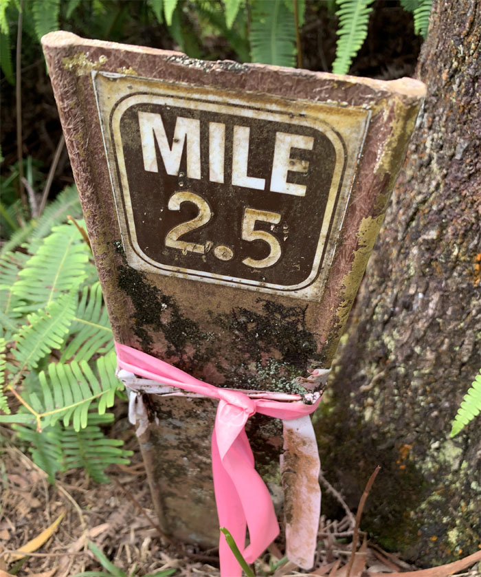
Climbing up the hill to the gate that marks 3.5 miles left to hike.
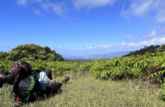
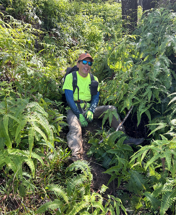
Taking a break at the clearing where Jen rested her back and Tessa rested her foot.
Documented slip and fall.
Pushing up the last false peak of the trail.
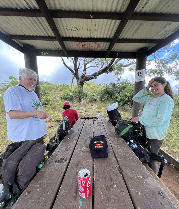
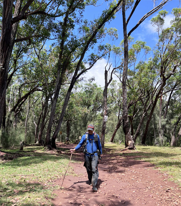
When Marco doesn’t meet Polo. Unexpected surprise that Chico came to meet us at the picnic shelter and came bearing cold beverages. What a guy!
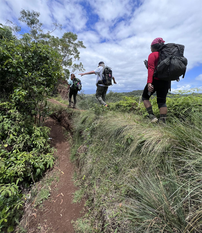
Balancing ourselves across the eroded section of the trail.
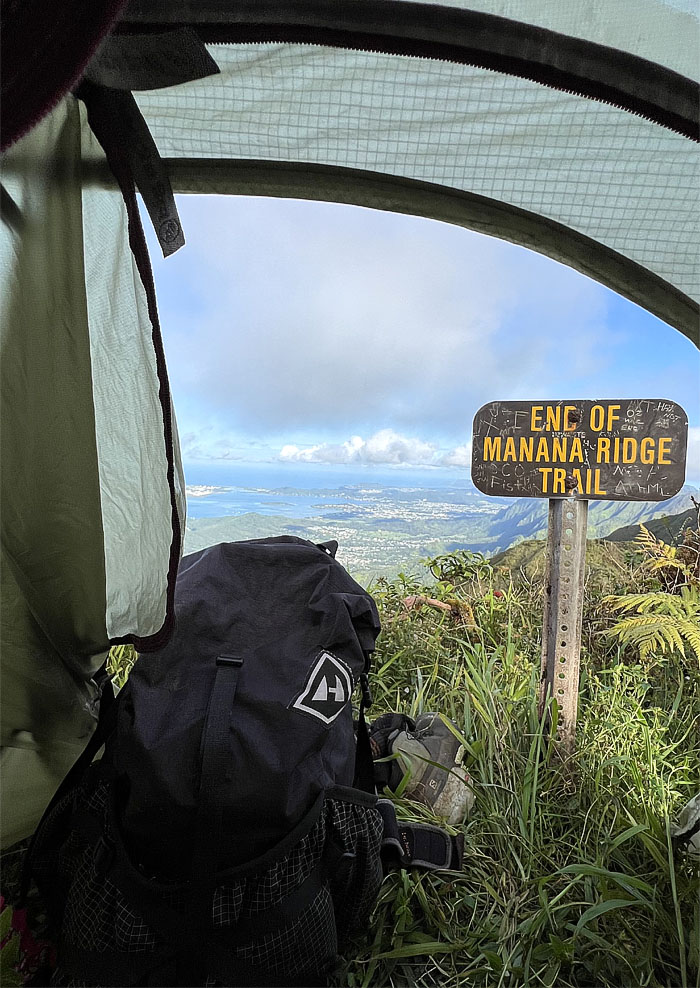
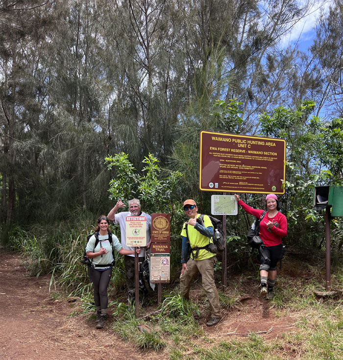
Group photo at the end of the trail where we jumped into Chris’s van and Chico went back home.
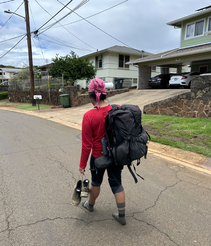
We honked the horn for an open house but visiting hours were over, so we picked up our other car and met at Keaiwa Heiau State Recreation Area to wait for the last member of the group to come down from the mountains.
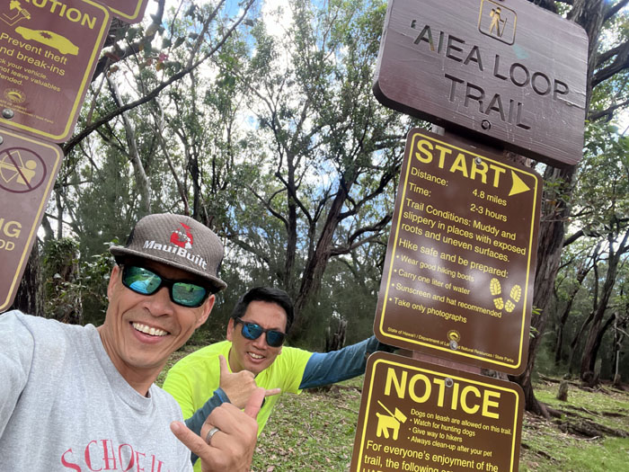
Picked Chris up from Aiea Loop Trail, where we drove to the nearby Alley Restaurant to have our post hike meal of oxtail soup.
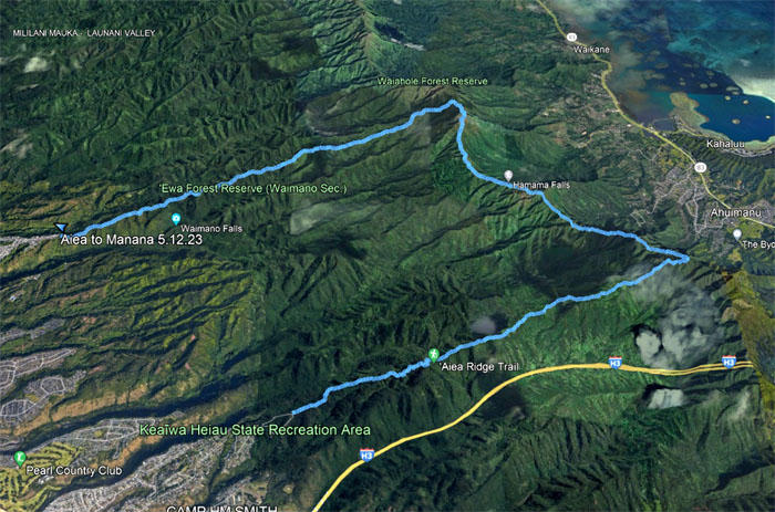
Our weekend camping hike while it didn’t go as originally planned, still covered 13.7 miles with a fun group.
Photos taken by Chris Bautista, Jen Odence, Tessa Bugay, and yours truly. Not necessarily in order.
Note: I have been made aware that some hikers have been using my blog as a hiking guide and getting lost on the trails. Please note that this blog was made to document the hike for the crew(s) that did it. That is why some of my comments will seem to have no relevance or meaning to anybody outside of the crew(s) that hiked that trail. My blog was never meant as a hiking guide, so please do not treat it as such. If you find inspiration and entertainment from these hikes, that is more than enough. If you plan on replicating these hikes, do so in the knowledge that you should do your own research accordingly as trail conditions, access, legalities and so forth are constantly in flux. What was current today is most likely yesterdays news. Please be prepared to accept any risks and responsibilities on your own as you should know your own limitations, experience and abilities before you even set foot on a trail, as even the “simplest” or “easiest” of trails can present potential pitfalls for even the most “experienced” hikers. One should also always let somebody know of your hiking plans in case something doesn’t go as planned, better safe than sorry.

{ 2 comments… read them below or add one }
Fun hike! Love camping in the mountains. Thank you for including me in your fun adventures
Aloha Tessa,
Thanks for always coming along on my hikes.
Mahalo