We decided to visit Hell today to help a friend reach her hiking goal.
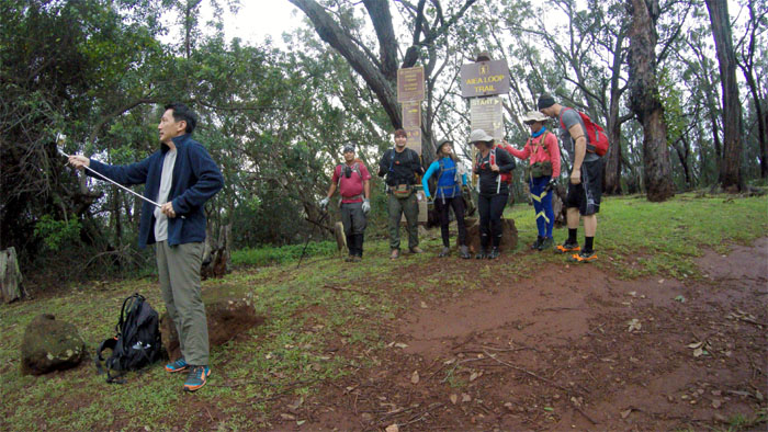
Met up with Ani, Chris, Cisco, Ferlino, Janell and Jeremy at Kea’iwa Heiau State Recreation Area. Thanks to Jasmin for dropping us off. Laredo was running fashionably late. Photo by Ferlino Carinio.
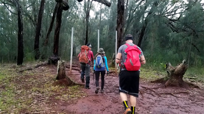
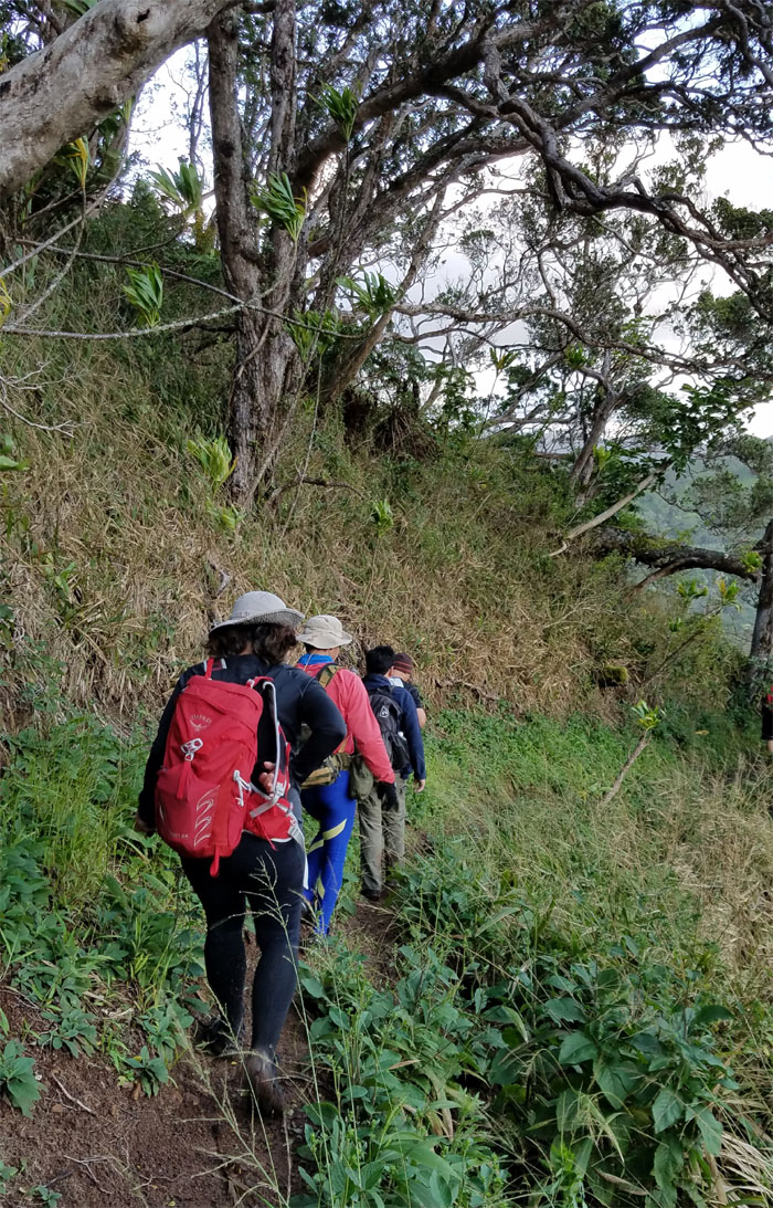
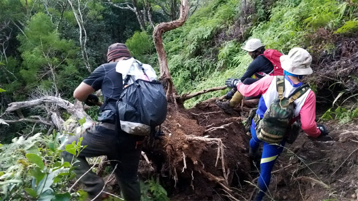
Pushing off on the rooted trail.
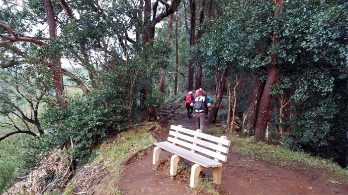
No benchwarmers in this group as we continued on the loop trail.
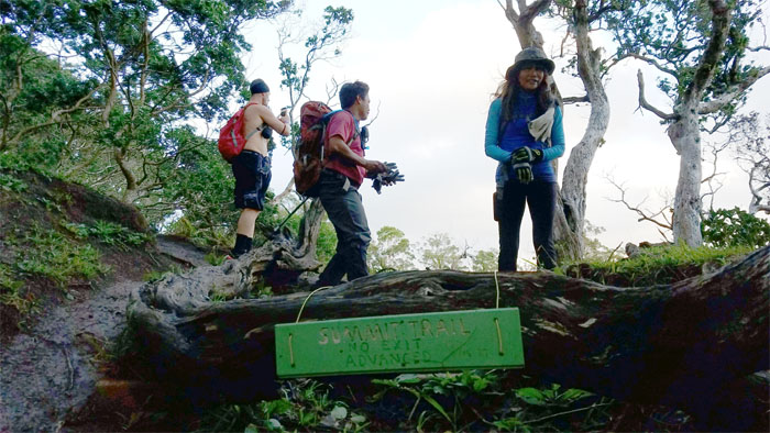
When did the hike turn into a shirts versus skins?
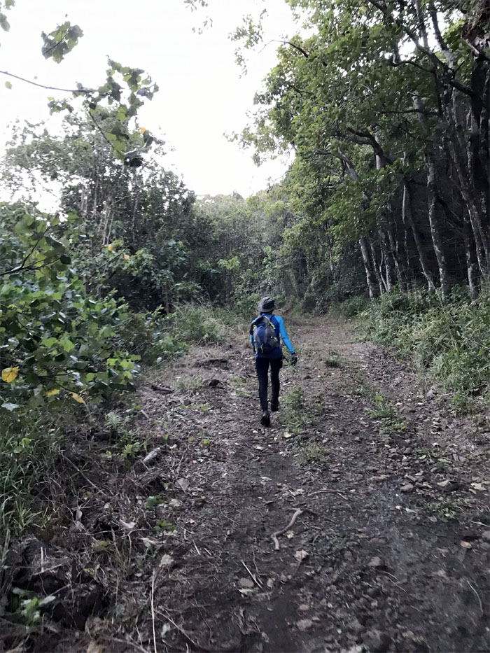
Stepping foot on the 5.5 mile ridge trail. Photo by Ani Lagpacan.
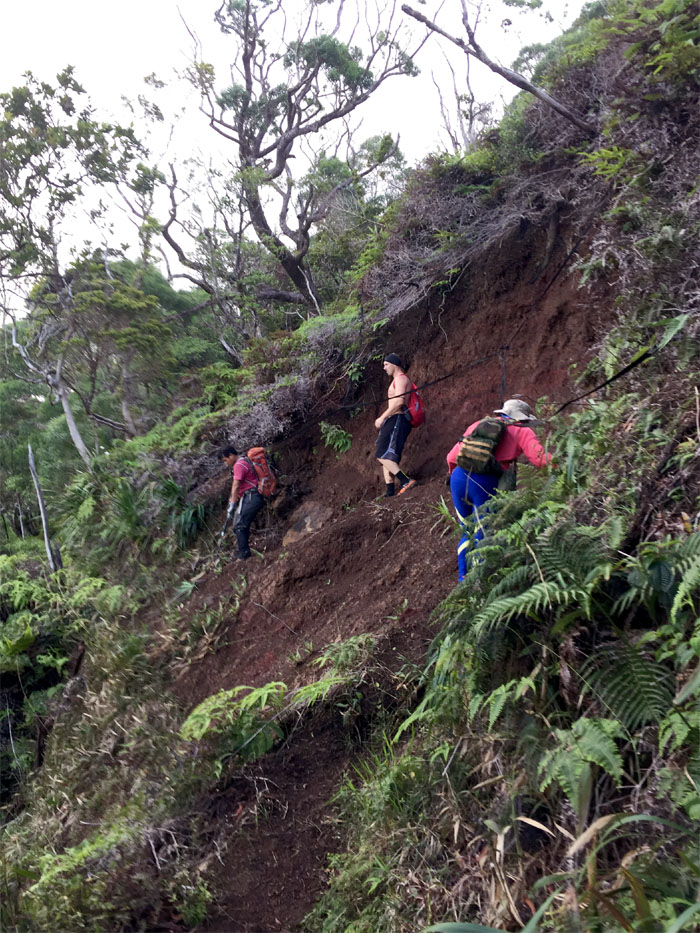
Crossing the well trampled landslide section. Photo by Cisco Quintanilla.
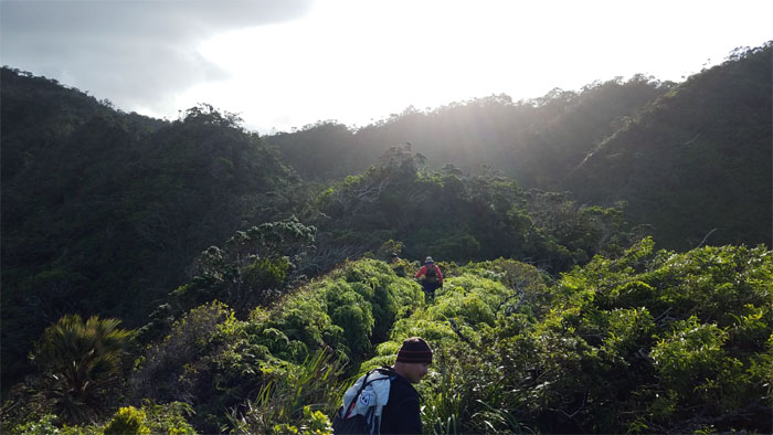
Catching the morning sun breaking over the mountains on our way up.
The winds were noticeably stronger in the mountains today. We’ll take that over the forecasted rain any day!
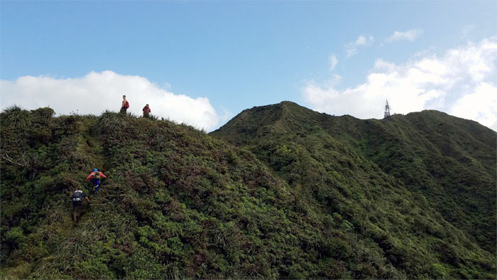
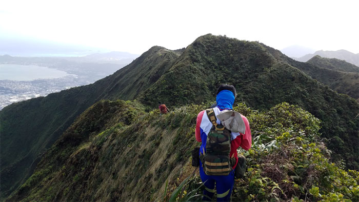
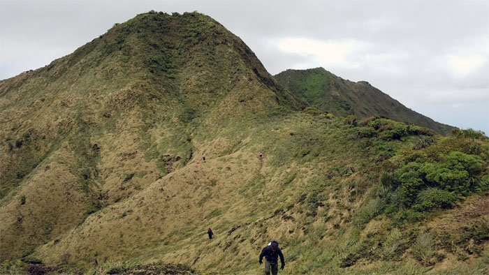
Pushing up to the last major hill on the ridge.
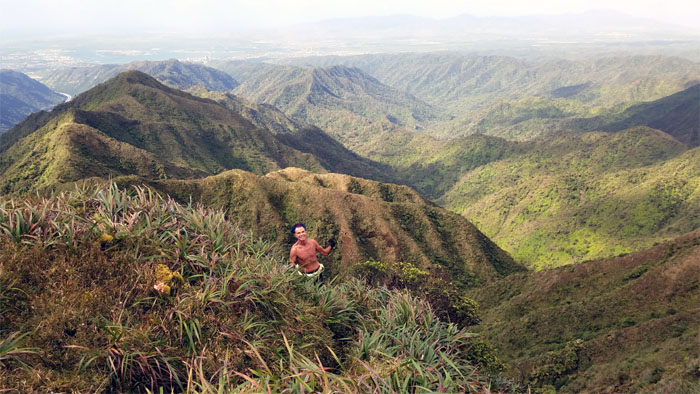
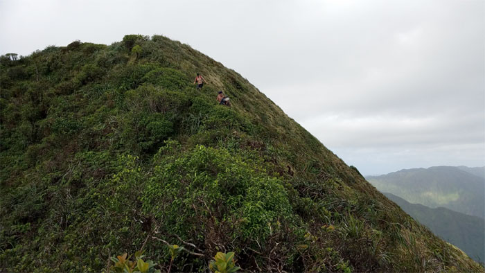
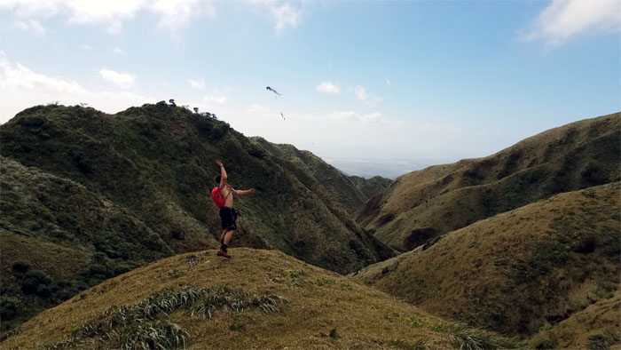
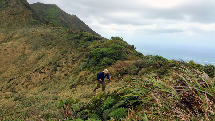
Capturing the man in motion who ran up the trail to catch up with us.
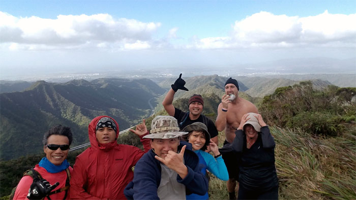
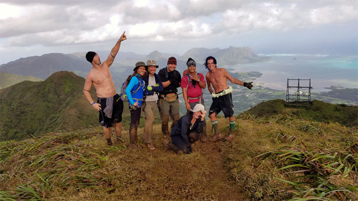
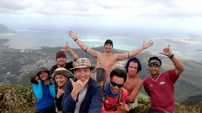
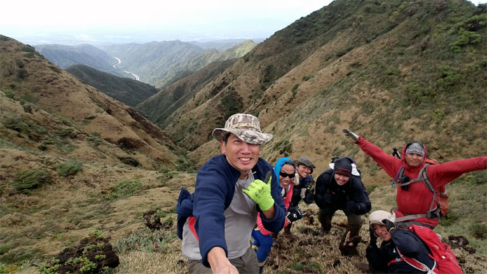
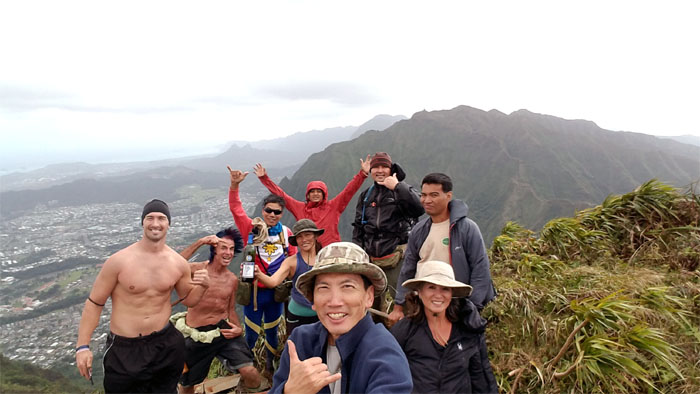
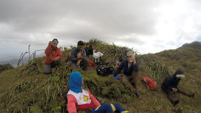
Taking a group photo on the grassy clearing that provided commanding views of the Windward side. We couldn’t fathom how the “twins” were walking around with no shirts. Insulation envy. Photo by Ferlino Carinio.
We all had to stop and take a picture of this mossy encrusted ohia tree.
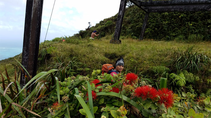
Chris stopping and smelling the clusters of lehua flowers. Watch out for the bees.
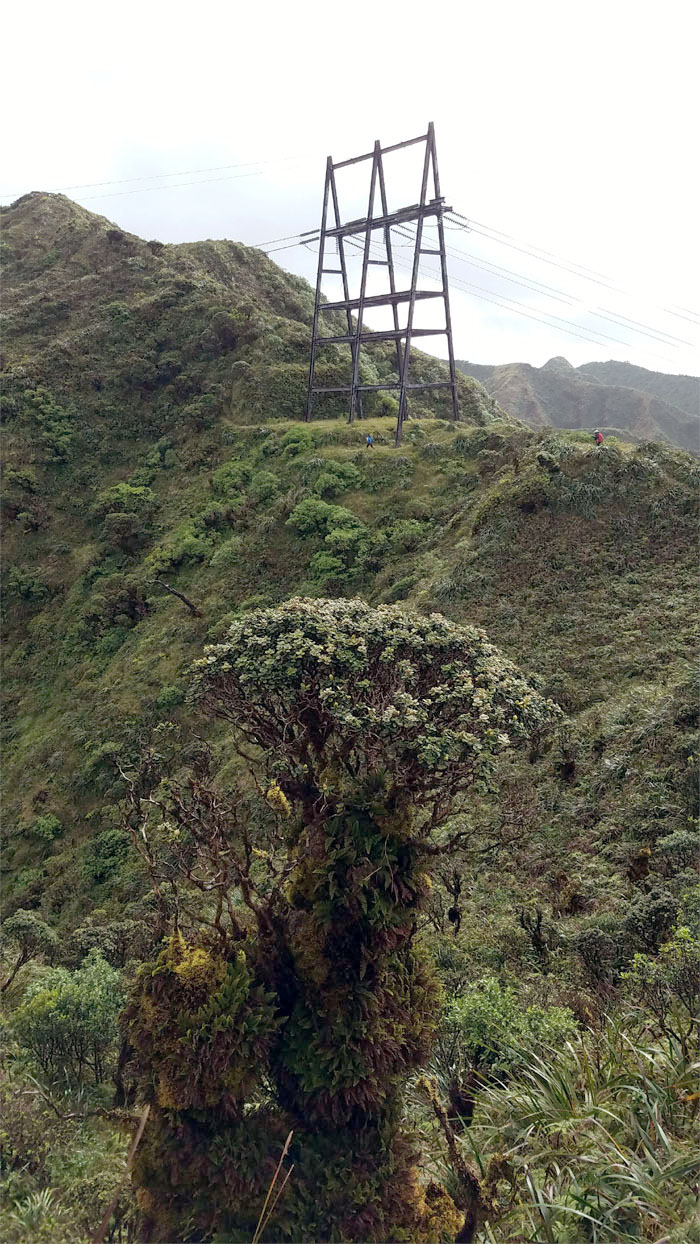
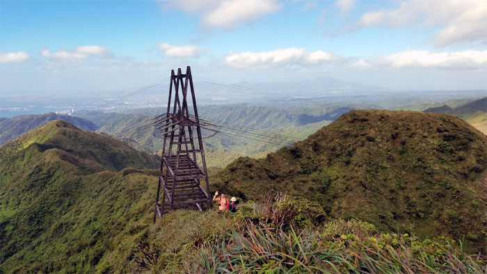
Janell and Jeremy coming around the power line tower as they climb up to the summit. Photo by Ani Lagpacan.
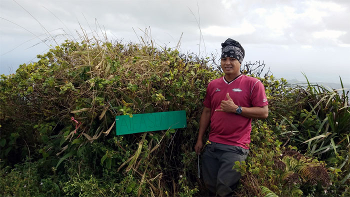
Mahalo to Chris for donating his labor and supplies to make a sign marking the top of Aiea Ridge.
Clear views to be had by all at the 2,805′ elevation.
The wind seemed to pick up and push us as we made our way off the summit and down the ridge.
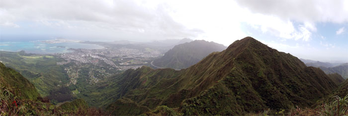
Today was one of the clearest all around views I’ve been privileged to witness in the mountains. It was just stunningly clear wherever we looked.
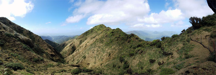
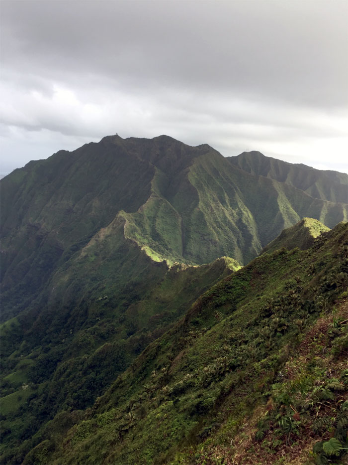
Looking ahead to the fenced enclosure where the ridge starts to follow the curvature of the Ko’olau spine.
Waiting at the fenced enclosure for the rest of the group as the sound of music followed us in the mountains. Somebody was not particularly pleased.
It was quite a chore to take our group photo and not get blown down into the spongy valley. Jeremy and Laredo decided to go ahead of us and explore a spur ridge.
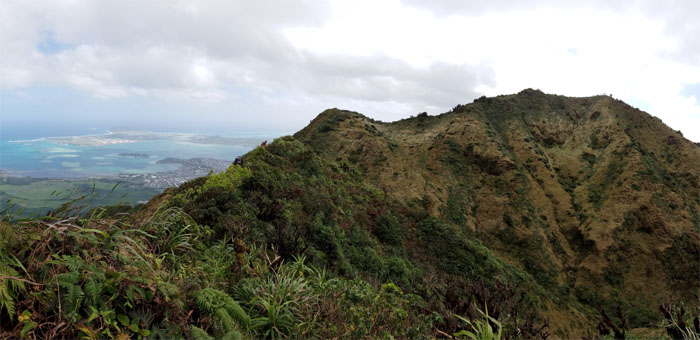
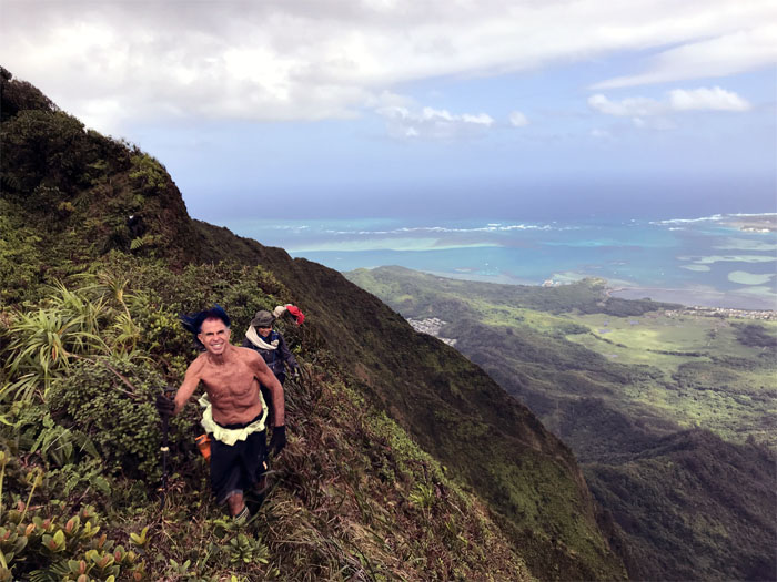
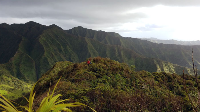
Making our way up to the last hill against the backdrop of the Windward coast line. Did I mention how clear it was today? Crystal.
I think Laredo finally left the music behind him. Photo by Chris Bautista.
We soon saw a solitary figure watching our progress coming down the hill. Turned out to be Arnold who had come up from Moanalua Valley to meet our group in Hell.
Jeremy finding out which way does the wind blow.
Watching the rest of the group make their way down and across the spongy ground to join us at the stairs.
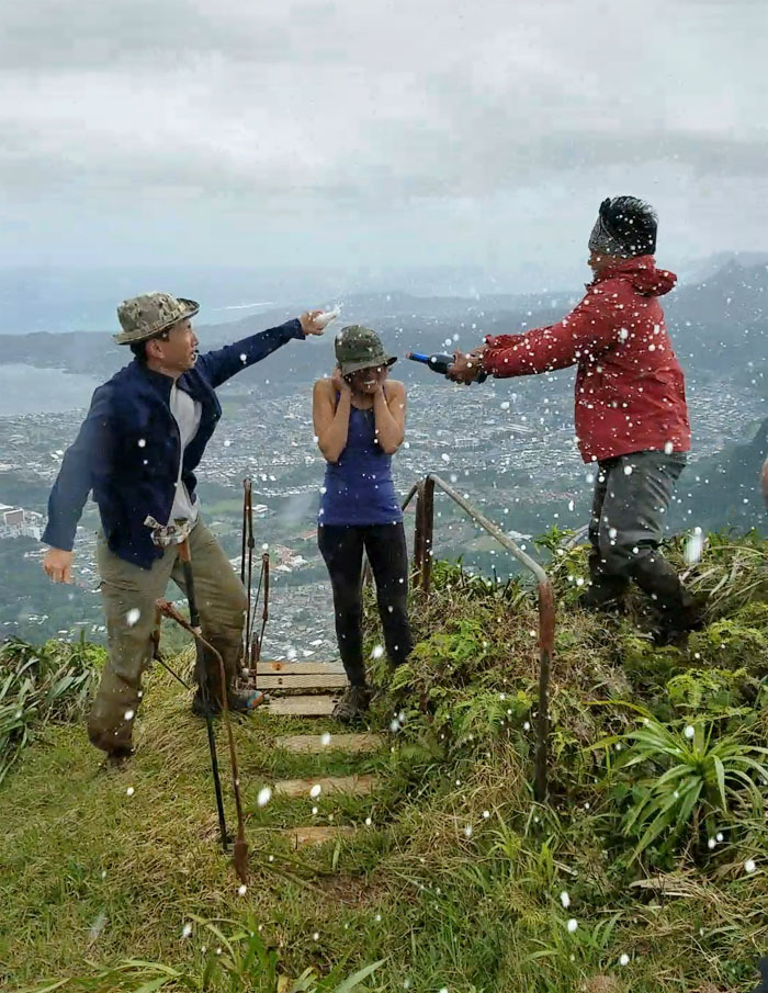
Let the bubbly flow! Congratulations to Ani for completing the Ko’olau Summit Trail today. Great job! Photo by Arnold Yago.
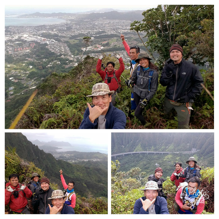
Group photo left to right: Jeremy, Laredo, Ferlino, Ani, Chris, myself, Cisco, Arnold and Janell.
Fork retrieval for Chris, as one can’t expect to eat without proper utensils. We are not savages. Maybe a little unkempt, dirty and smelly. But we are still somewhat civilized. Photo by Janell Tuttle.
We hunkered down and ate our lunch in freezing Hell. Arnold soon took his leave of us to go back down to Moanalua Valley. Places to go, people to see. Photo by Ferlino Carinio.
I had always wanted to hike to the bottom of the stairs but prior hikes did not afford the opportunity due to time or inclination. Today was a different story. The group as a whole had also never been to the bottom of the stairs and with the exception of Janelle, Jeremy and Laredo who decided to press on and go down Red Hill, we proceeded down the dilapidated stairs.
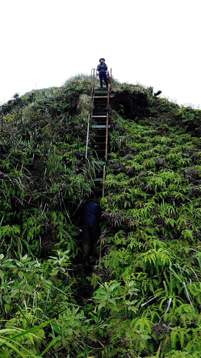
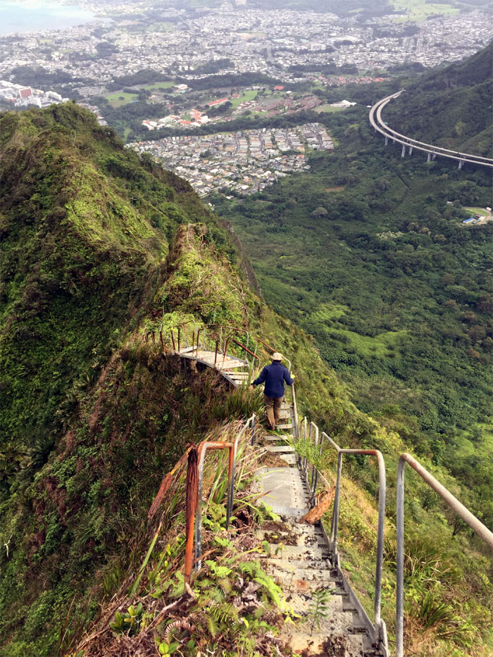
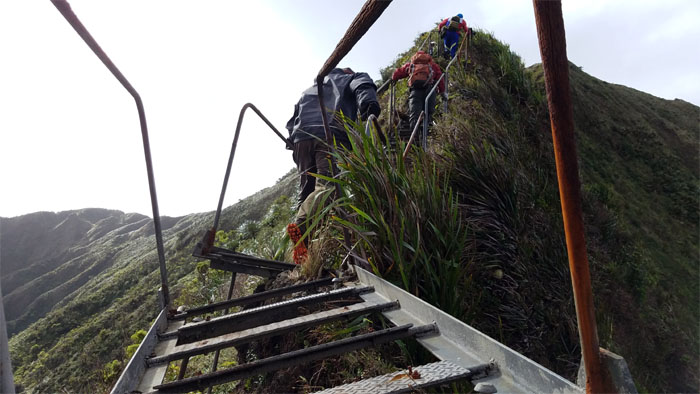
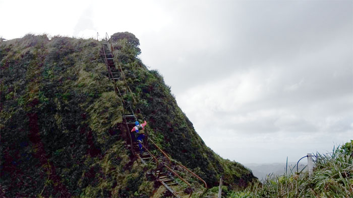
Making our way down the near vertical section of the steps.
Ani standing on the landing where most people take their pictures and turn back. Not us, we had a burning curiosity and daylight to spare. Photo by Chris Bautista.
Cisco shuffling through the knee high uluhell ferns.
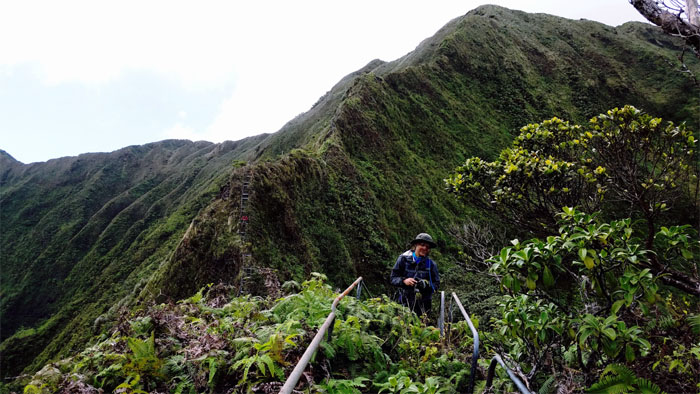
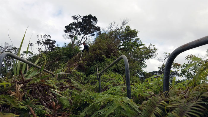
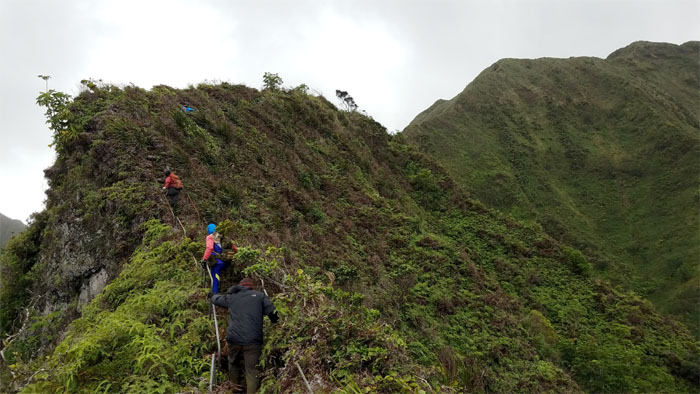
Can you see the stairs for the overgrowth?
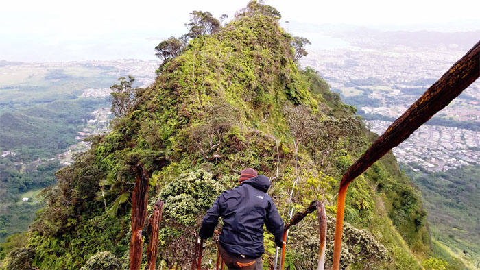
Dropping in elevation and gaining overgrowth many times over.
Treading carefully on the somewhat disconnected and angled stairs. Photo by Cisco Quintanilla.
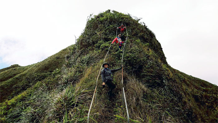
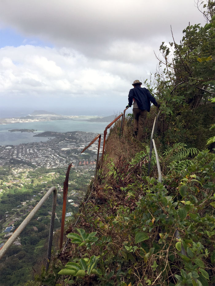
Hanging on what’s left of the rusted railings.
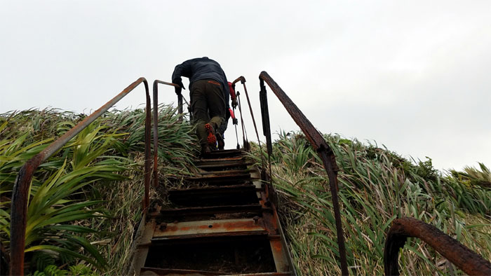
The choking overgrowth is probably what’s keeping the rusting stairs together.
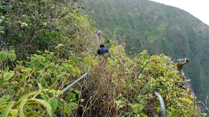
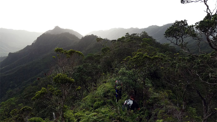
We soon hit a wall of impenetrable uluhell ferns and were forced to contour off the stairs.
Walk to the right, lean to the right. Photo by Cisco Quintanilla.
End of the stairs for us.
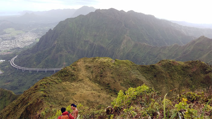
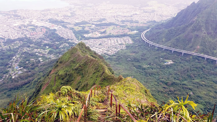
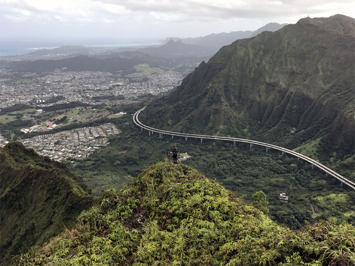
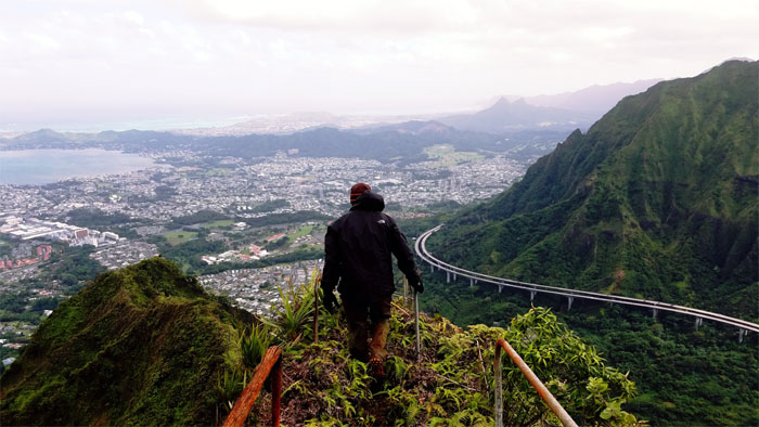
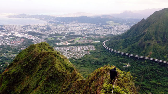
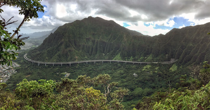
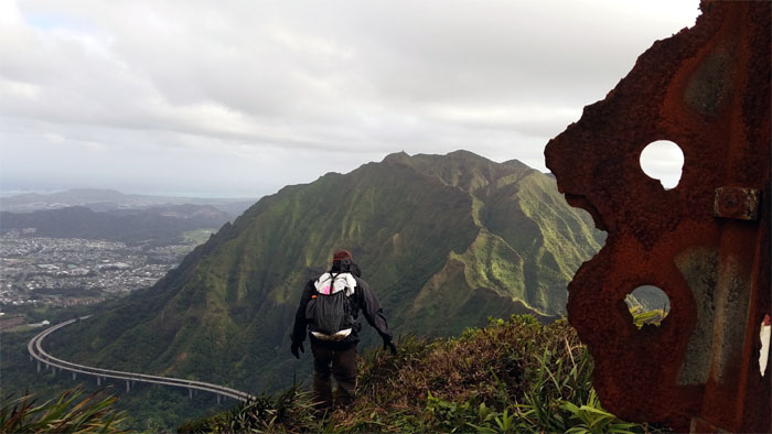
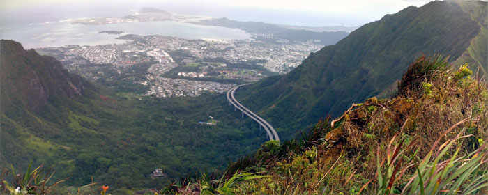
Different perspective of the H3 exiting and wrapping around the Ko’olau Mountains. Photo by Cisco Quintanilla.
Time to go back up the stairs.
It was a steady climb back up through the overgrowth and deteriorating stairs.
Seems just a matter of time before some sections of the stairs fall off the crumbly ridge.
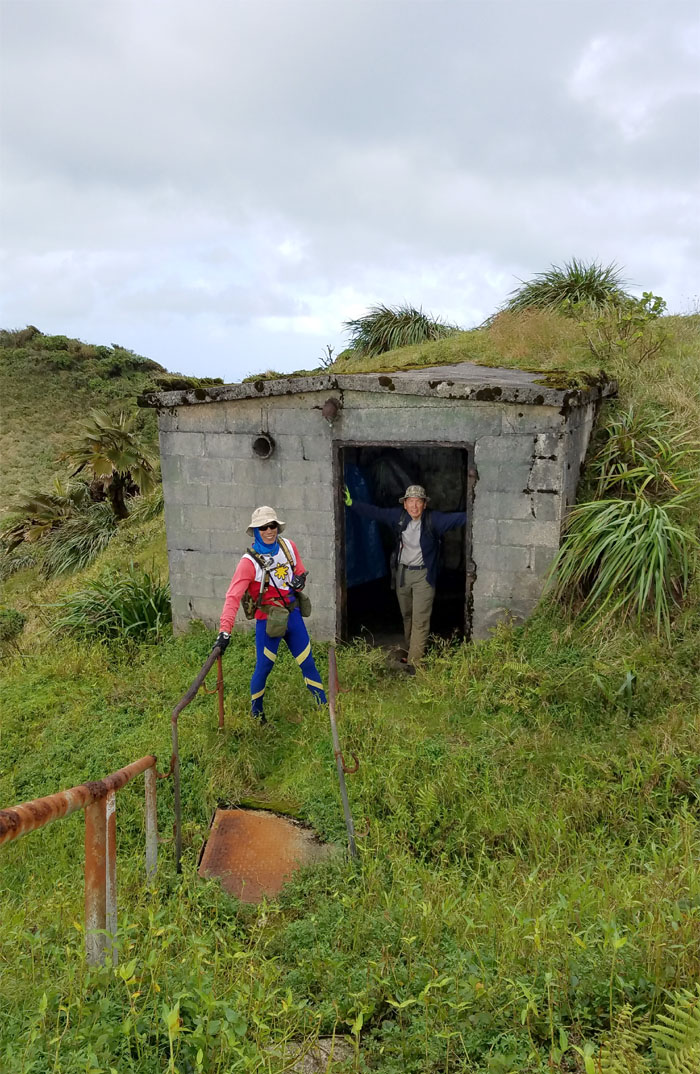
Back at the top of the stairs.
We didn’t find any tents that were to our liking. Photo by Ani Lagpacan.
Passing by one of the A-frame foundations that once hung suspended antenna cables across the valley.
Ferlino climbing out of Hell.
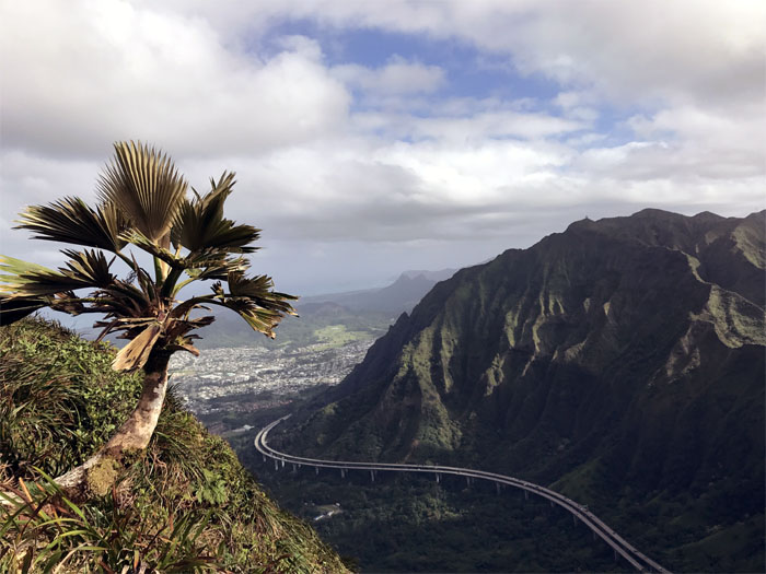
Solitary, stunted loulu palm tree overlooking Halawa Valley. Photo by Chris Bautista.
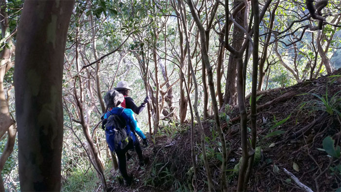
Leaving the steadily shrinking geo marker as we made our way down to the saddle.
Passing over the H-3. Photo by Janell Tuttle.
Moanalua Saddle backlighted by the sun. Photo by Cisco Quintanilla.
Ani was determined to prove to us all that 45 minutes was not a figment of her imagination.
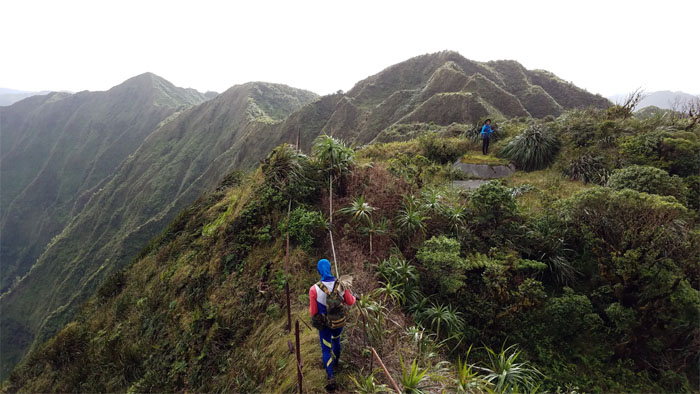
Making our way on the rollercoaster ridge. Ups and downs.
We soon caught up with Janelle on the trail, who was nursing her knee. Misery loves company.
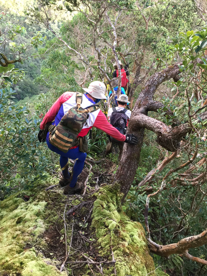
Going down the skinny section of the mossy carpeted ridge. Photo by Cisco Quintanilla.
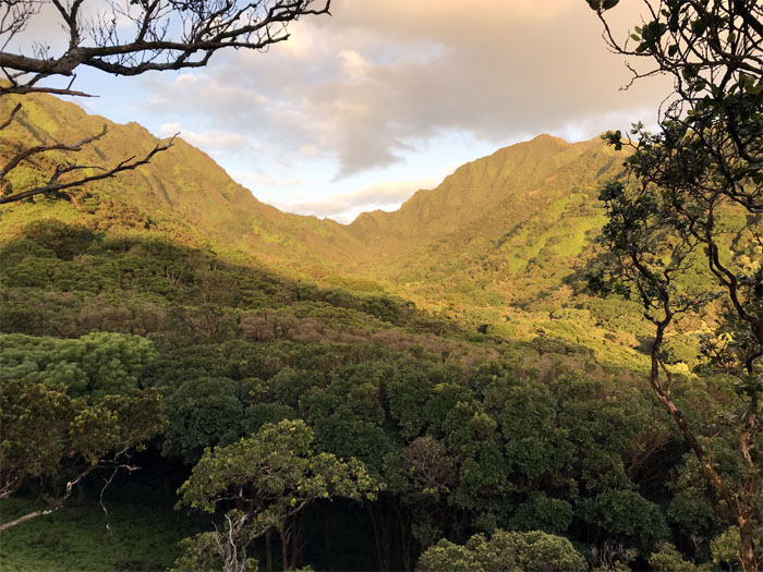
Moanalua Valley being bathed by the sun. Photo by Chris Bautista.
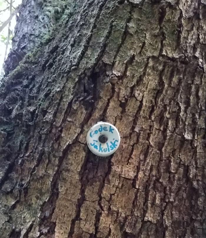
Walking in the footsteps of Chuck Godek and Erwin Jaskulski, HTMC legends that pioneered this trail. Photo by Ani Lagpacan.
Everybody going their separate ways around this fallen tree.
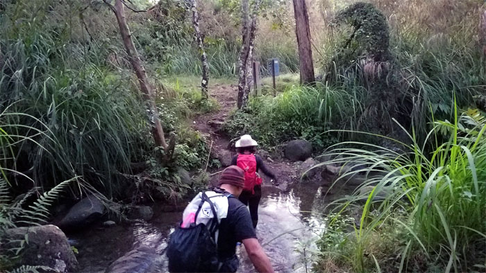
Fording the ankle deep stream to get on the Kamananui Valley Trail and the long walk out.
Chris and Ani raced against time to recover Janell’s car before the gates closed in Aiea. They were successful. Photo by Chris Bautista.
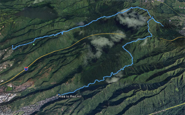
Our celebratory hike covered roughly 13 miles to hell and back, with gusty winds and clear views all day included. Great hike with good friends to help Ani finish the KST. Post hike meal at Alley Restaurant. What? No oxtail soup! What’s the world coming to?
Note: I have been made aware that some hikers have been using my blog as a hiking guide and getting lost on the trails. Please note that this blog was made to document the hike for the crew(s) that did it. That is why some of my comments will seem to have no relevance or meaning to anybody outside of the crew(s) that hiked that trail. My blog was never meant as a hiking guide, so please do not treat it as such. If you find inspiration and entertainment from these hikes, that is more than enough. If you plan on replicating these hikes, do so in the knowledge that you should do your own research accordingly as trail conditions, access, legalities and so forth are constantly in flux. What was current today is most likely yesterdays news. Please be prepared to accept any risks and responsibilities on your own as you should know your own limitations, experience and abilities before you even set foot on a trail, as even the “simplest” or “easiest” of trails can present potential pitfalls for even the most “experienced” hikers.

{ 2 comments… read them below or add one }
Mahalo for sharing such wonderful journeys . One day you won’t be able to do and experience such spectacular things for whatever reason, health, etc. ( I know) but you’ll have wonderful memories. Thank you again for sharing your photos and experience. It’s the next closing thing to being there on the journey and feeling the power of the `aina……k….
Aloha Kanani,
Thanks and glad you enjoyed the post. Yup, got to enjoy every day while we can.
Mahalo