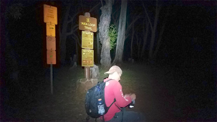
Chris asked if I had ever done this particular route before. Nope. That’s how I found myself back on the Aiea Loop Trail with Chris, Ferlino, Jason and Matt. Thanks again to Jasmin for dropping us off.
Matt fiddling with his hardened shoes which would end up giving him problems on the trail.
Hoping we would not need the (non) prescription glasses left behind.
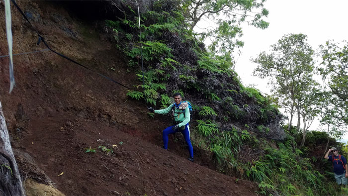
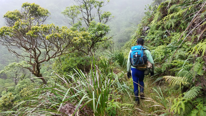
Ferlino and Jason crossing the landslide area. The shoes eventually called it for Matt and he soon turned around.
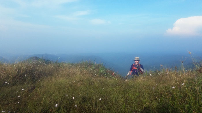
Jason coming up to the 2,441′ summit of wild flowers.
Looking out from the grassy clearing towards the power lines and the cloud blocked Windward views.
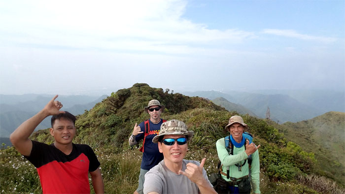
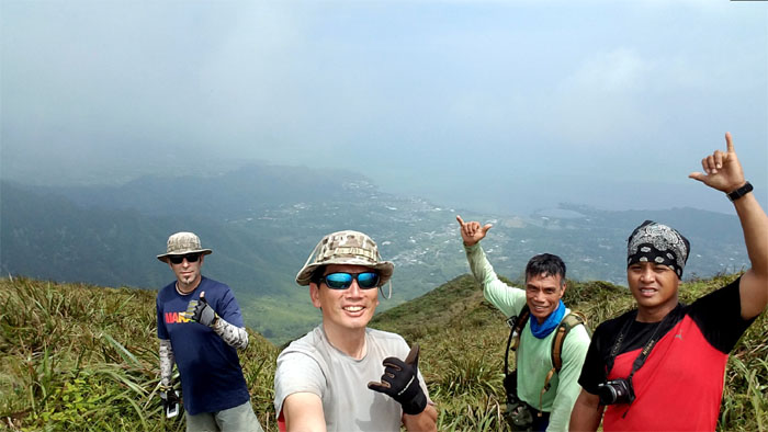
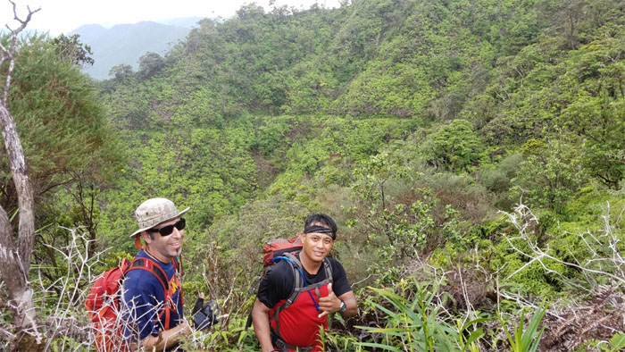
We got a view at the 2,805′ top. The Leeward side. Group photo left to right: Chris, Jason, myself and Ferlino.
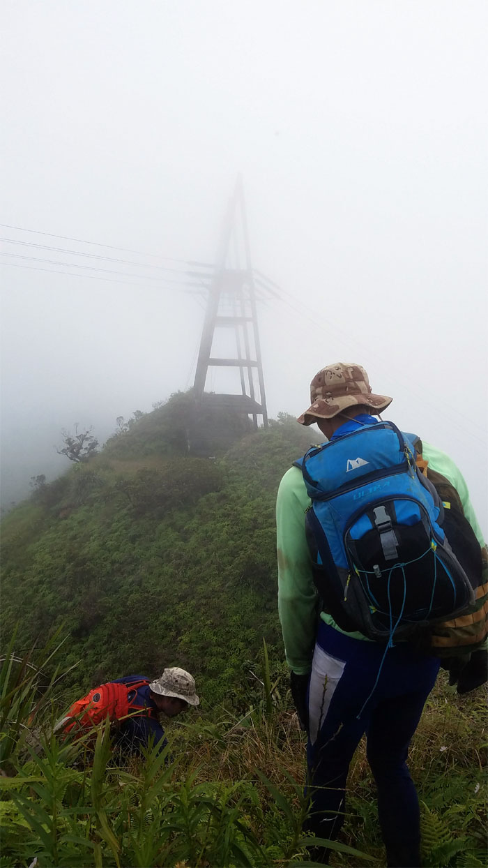
Making our way down the second power lines and the unclaimed tent.
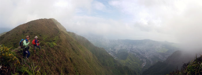
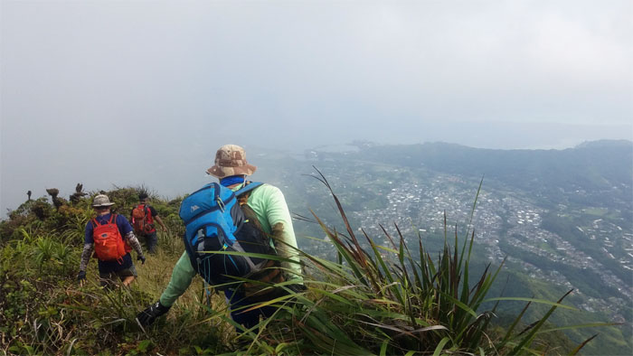
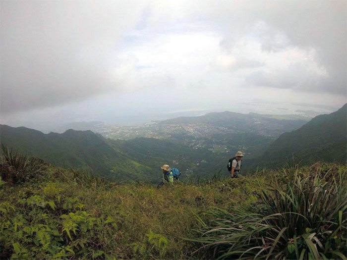
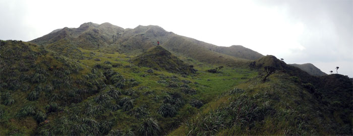
Checking out the cloud strained views of the Windward side.
Looking back towards the power lines. Photo by Jason Murano
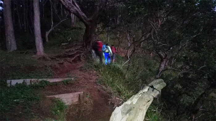
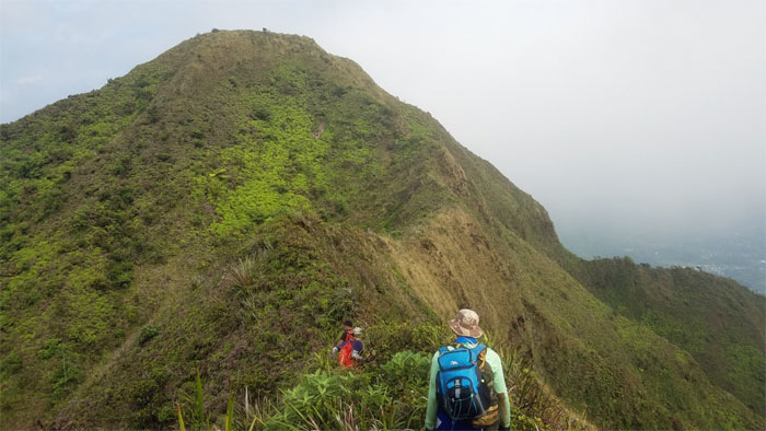
Pumping our legs to get up the first big hill on the ridge.
The ubiquitous uki grass that is good for grabbing and eating.
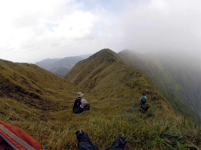
Taking a break in the meadows. Photo by Chris Bautista.
Back to hiking.
Approaching the summit where Waimalu Middle Ridge tops out.
Making the final push up the hill. Photo by Jason Murano.
Group photo overlooking Windward views.
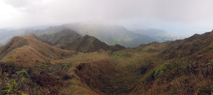
Going down to the mythical meadows.
Chris swallowed up in the mystical meadows.
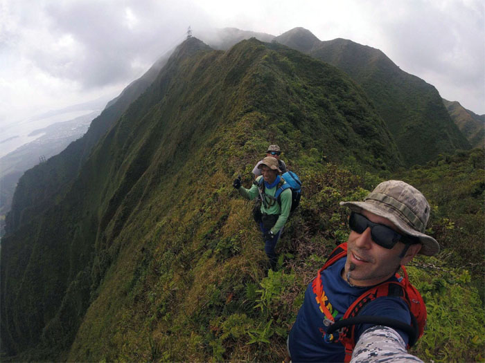
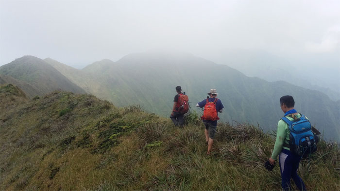
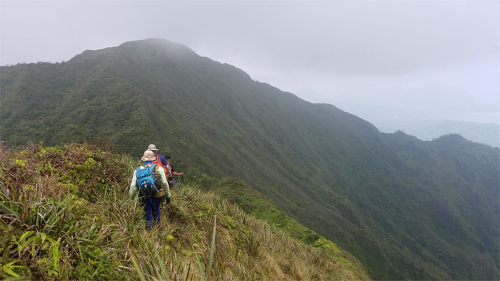
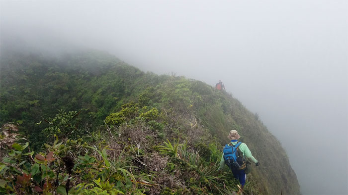
We departed the meadows and jumped back on the cloudy and undulating ridge line.
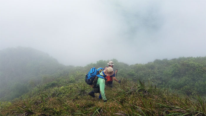
Making our way down to the saddle.
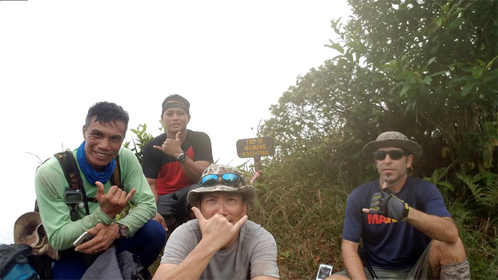
Group photo at the socked in 2,160′ terminus.
Making our way down the seven mile graded trail.
Chris and Jason on the contour trail below the ridge line.
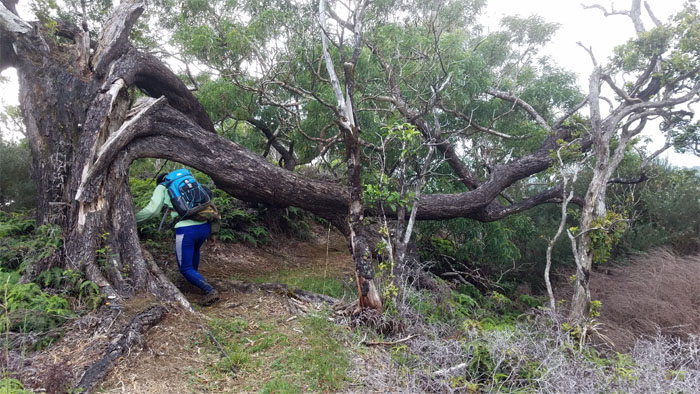
Ferlino ducking underneath a split tree on the trail.
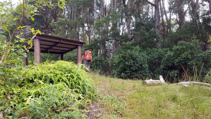
Approaching the picnic shelter for a Pepsi break.
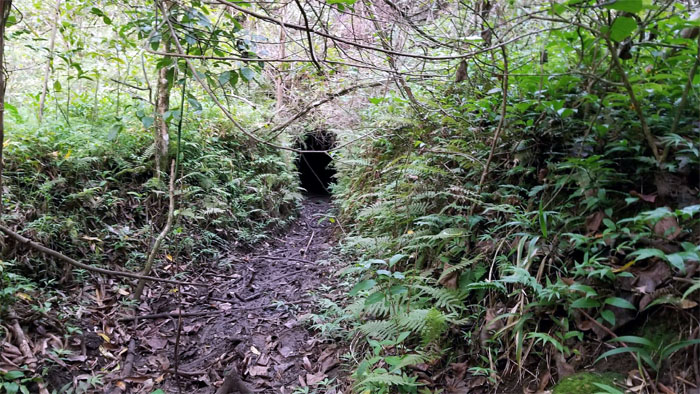
One of many short irrigation tunnels in the valley. Photo by Ferlino Carinio.
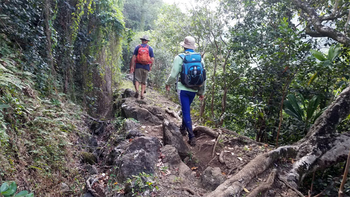
Walking the long rocky trail out.
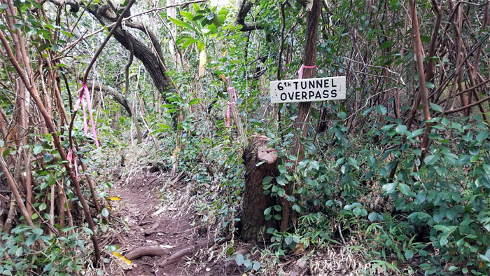
I wasn’t counting. Photo by Ferlino Carinio.
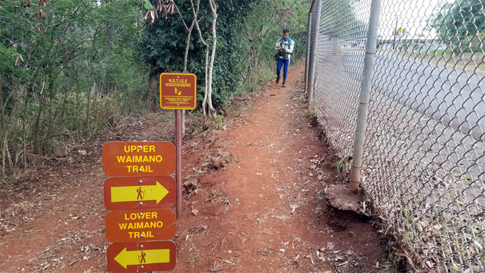
The end of the insufferably long trail and back to our cars.
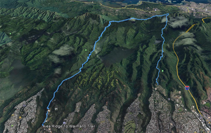
Our Sunday jaunt covered 14.63 miles of ridges, meadows and valley trails. Exhausting hike with an energizing group. Post hike meal at Pearl City Zippy’s. Not eating at the sushi bar tonight.
Note: I have been made aware that some hikers have been using my blog as a hiking guide and getting lost on the trails. Please note that this blog was made to document the hike for the crew(s) that did it. That is why some of my comments will seem to have no relevance or meaning to anybody outside of the crew(s) that hiked that trail. My blog was never meant as a hiking guide, so please do not treat it as such. If you find inspiration and entertainment from these hikes, that is more than enough. If you plan on replicating these hikes, do so in the knowledge that you should do your own research accordingly as trail conditions, access, legalities and so forth are constantly in flux. What was current today is most likely yesterdays news. Please be prepared to accept any risks and responsibilities on your own as you should know your own limitations, experience and abilities before you even set foot on a trail, as even the “simplest” or “easiest” of trails can present potential pitfalls for even the most “experienced” hikers.


{ 0 comments… add one now }