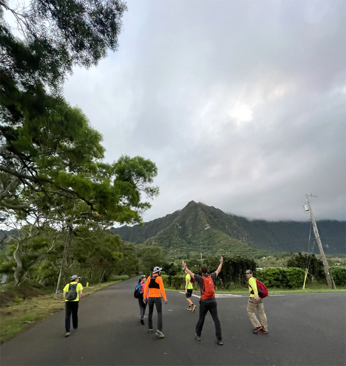
Met up in Waimanalo for somebody’s birthday hike. Only somebody was missing. The birthday girl. The hike must go on. Photo by Colt Correa.
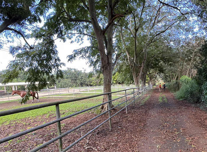
Thanks to Matt for driving Aida, Enrique, Lilyn, Ryan and myself to Colt’s ranch where we started to walk to the trailhead. Photo by Lilyn Avendano.
We skirted the surprisingly graffiti free water tank and failed to receive the BOWS morning wake up call.
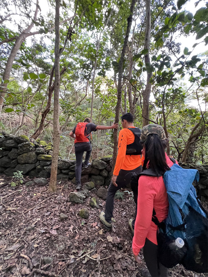
Crossing over a rock wall that was of undetermined age. Carbon dating seems to be in order.
Looking for the snap, crackle and pop under canopy as we rambled in the forest.
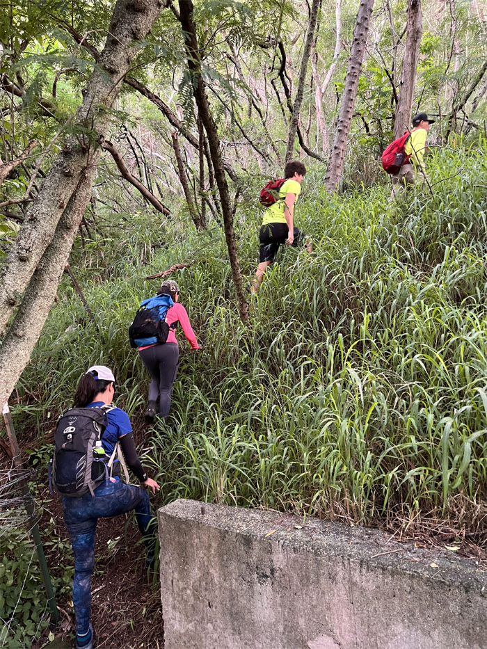
Ryan climbing up the spur ridge known as Bear Claw Right Fork.
Aida following Colt up the rocky ridge line. Photo by Lilyn Avendano.
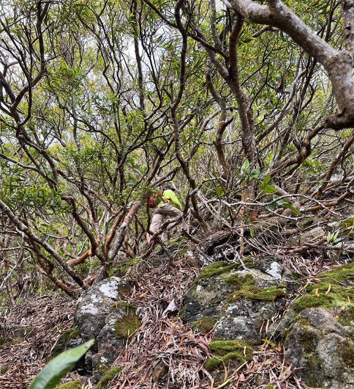
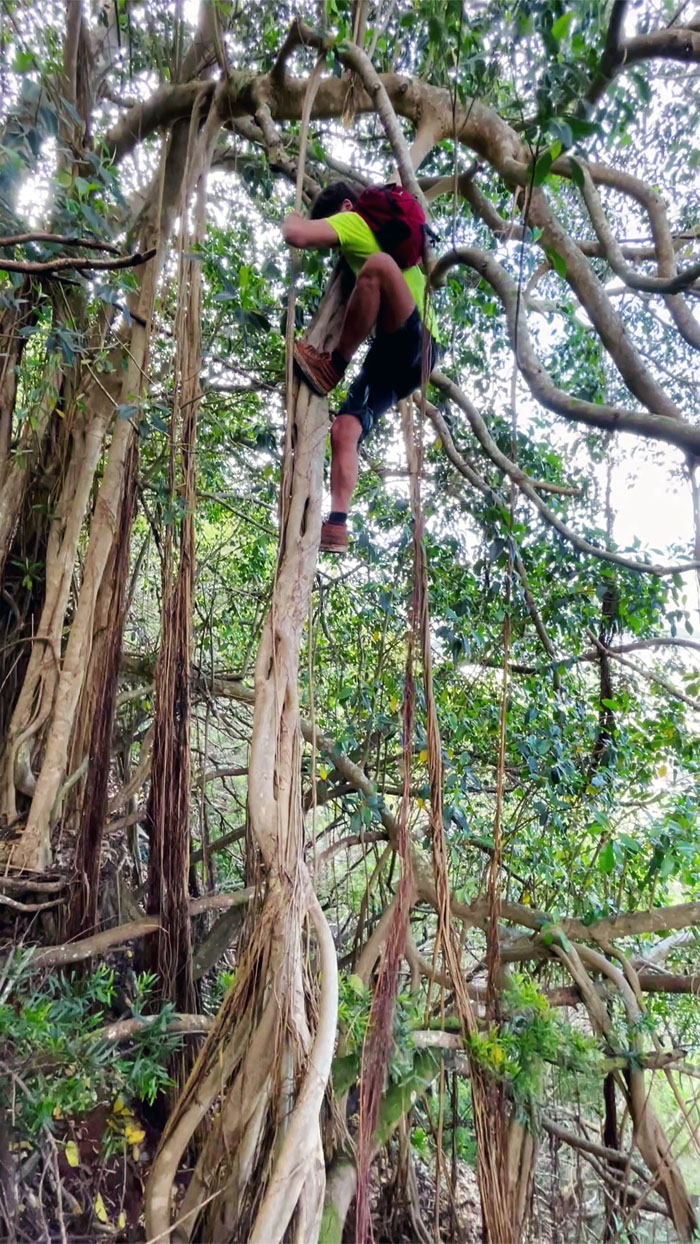
Matt pushing his way through the tangled thicket of trees to get the drone advantage position.
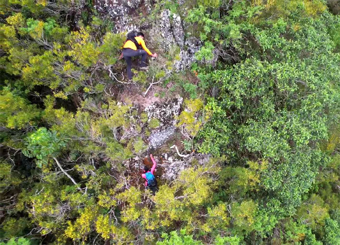
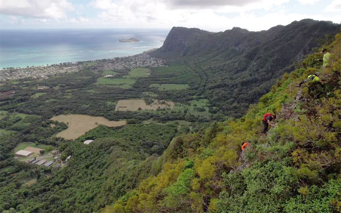
Enrique and Aida making their way up the ridge line. Drone photo by Matt Vidaurri.
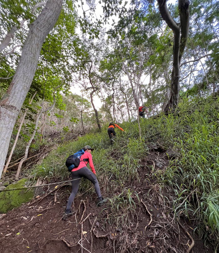
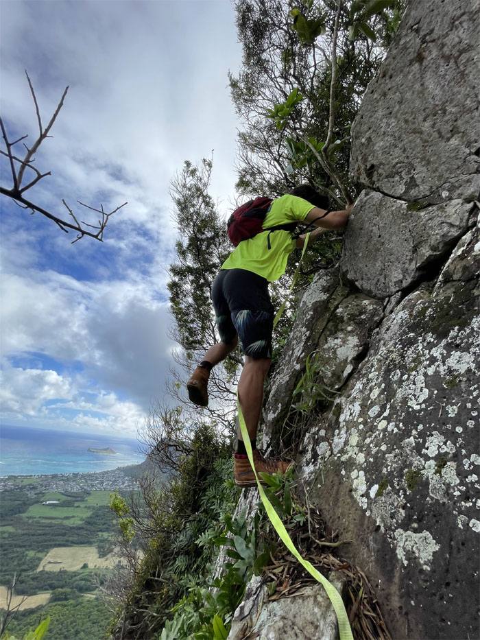
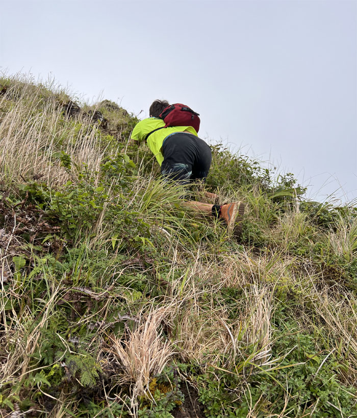
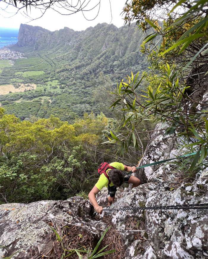
Colt climbing up the steepest section on this fork. Photo by Lilyn Avendano.
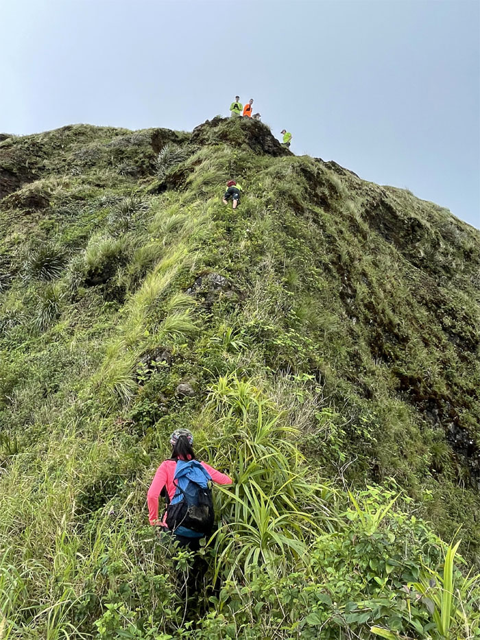
The group climbing up the steep ridge. Drone photo by Matt Vidaurri.
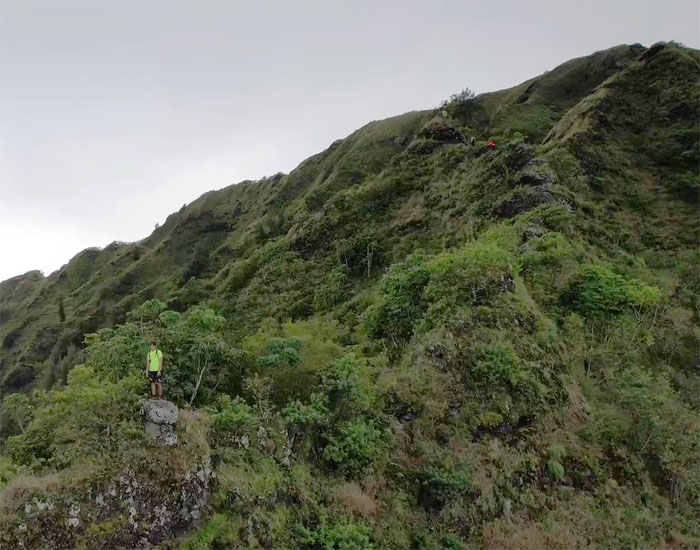
Colt standing on the mushroom rock as we left the canopied section of the right fork behind us. Drone photo by Matt Vidaurri.
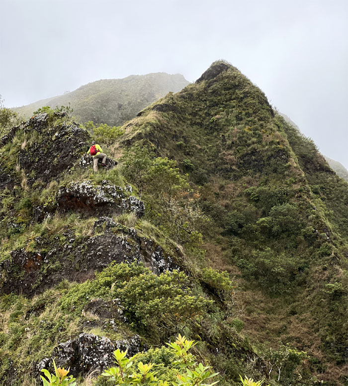
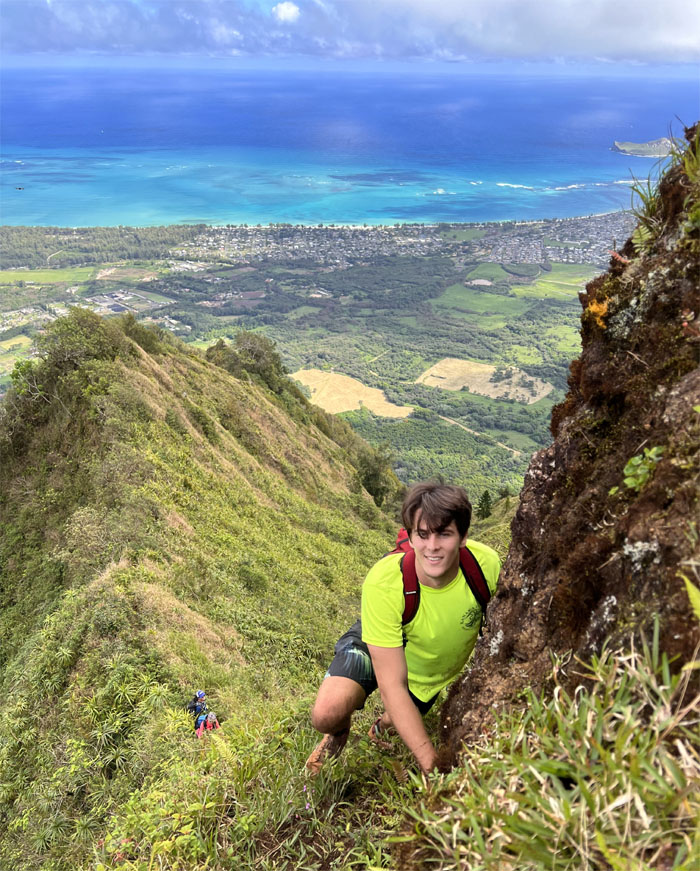
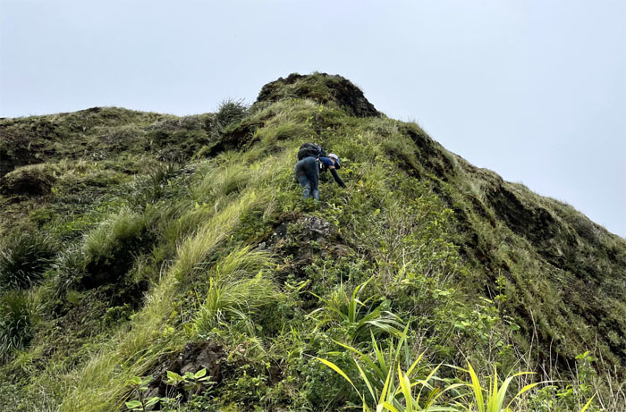
Matt climbing his way up the main ridge line.
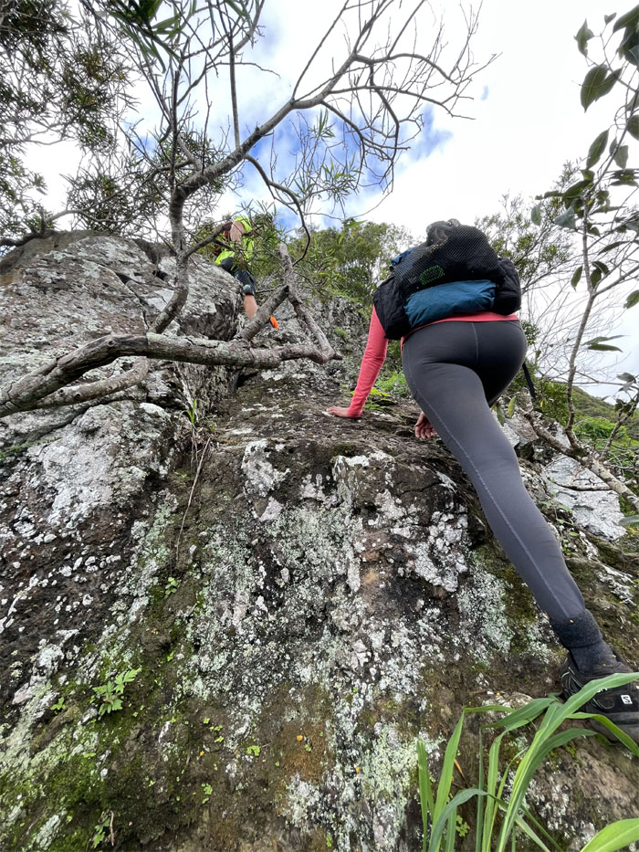
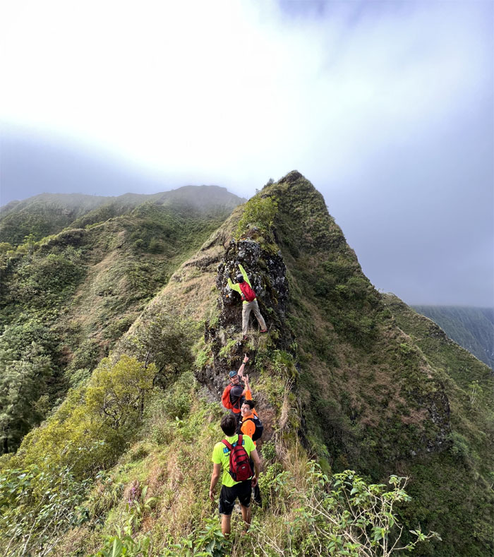
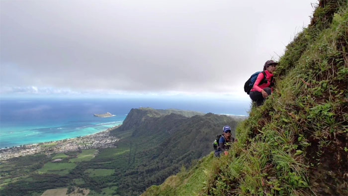
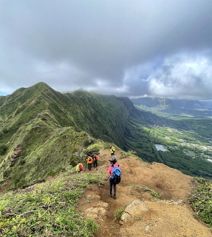
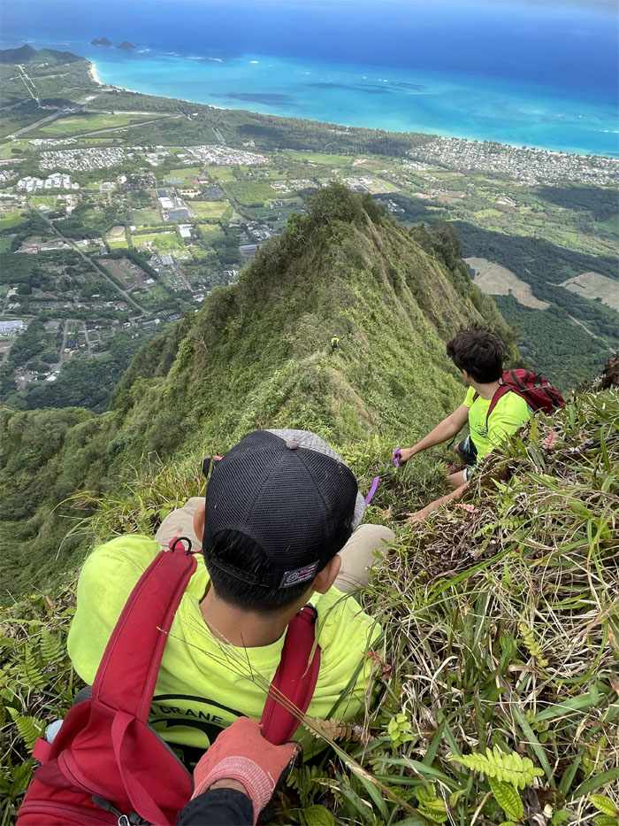
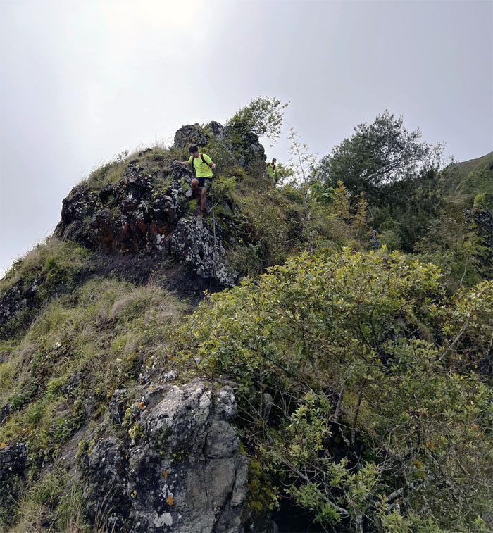
The girls scrambling up the exposed ridge.
What’s the score?
Somebody forgot to tell Matt that this is the Aloha State and not the Show Me State.
The weather was extremely kind to us on this hike with overcast clouds and enough wind to keep us separated from perspiration to profusely sweating.
Vans was not made for slippery slopes.
Almost there. Photo by Lilyn Avendano.
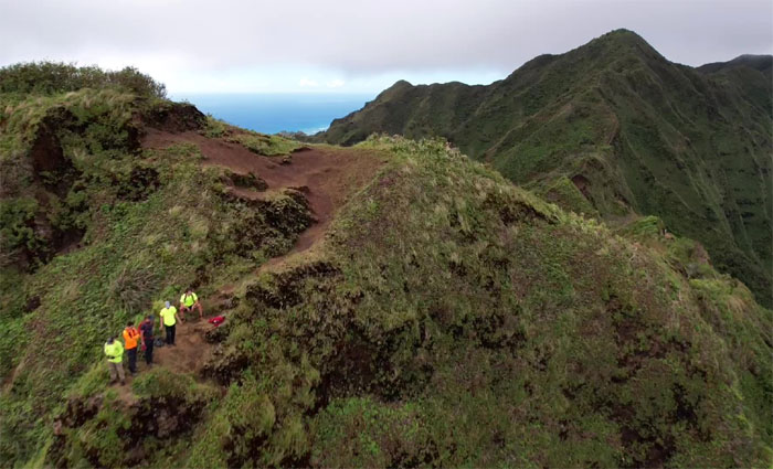
Drone photo by Matt Vidaurri.
Somebody didn’t need spikes to get to the top.
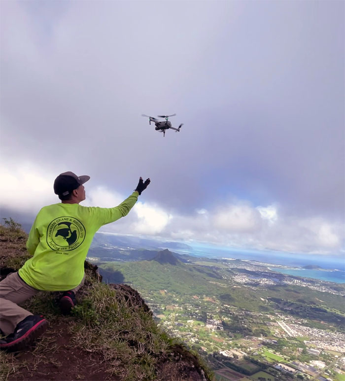
Flyover. No permission needed. Drone photo by Matt Vidaurri.
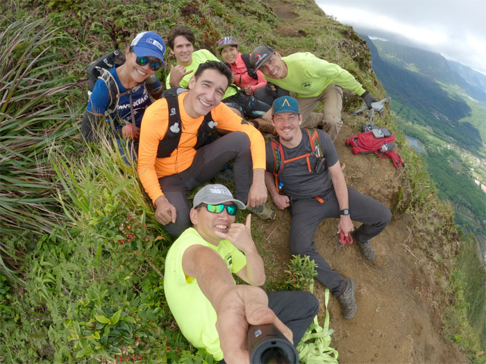
Group photo at the terminus with the plaque that honors the late Lesley Merrell who perished on this very ridge on March 18, 2012. “One day you’ll leave this world behind, so live a life you will remember.” – avicii.
The eagle has landed. Photo by Lilyn Avendano.
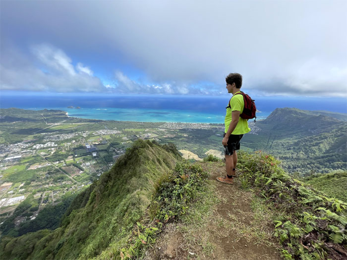
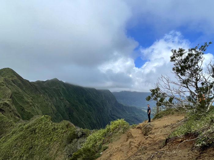
Somebody finally climbed the ridge he had always seen afar from his backyard. Photo by Lilyn Avendano.
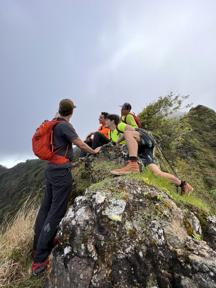
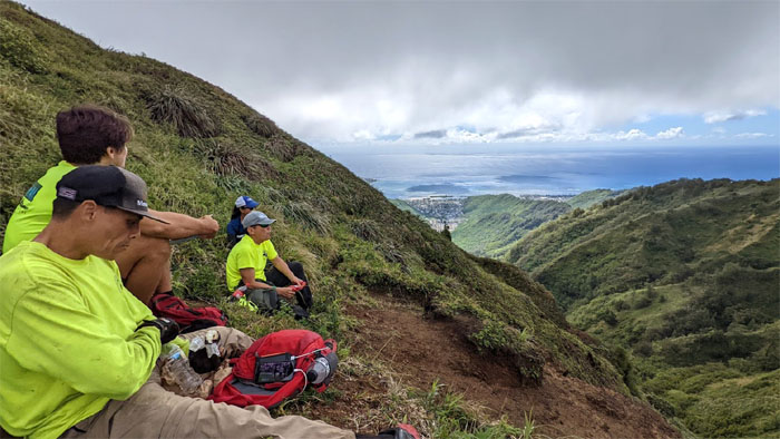
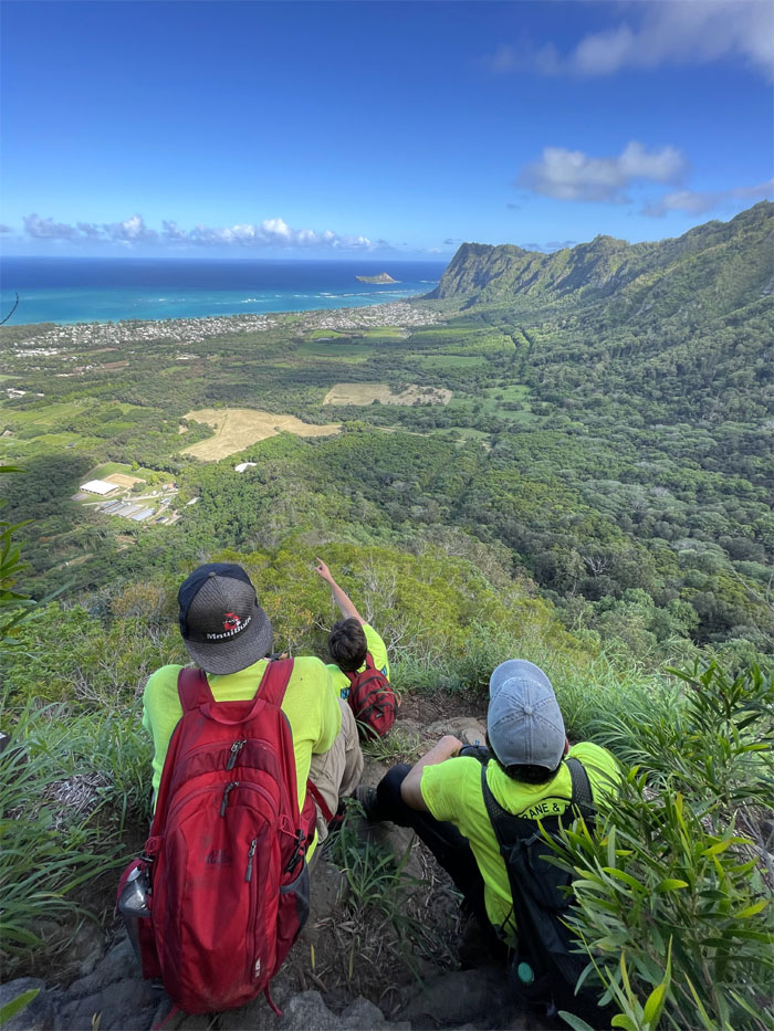
East or West? Nobody can decide on an empty stomach, so we found a sheltered spot to hunker down and grab a bite to eat and then decide.
Ryan was looking for a square to spare.
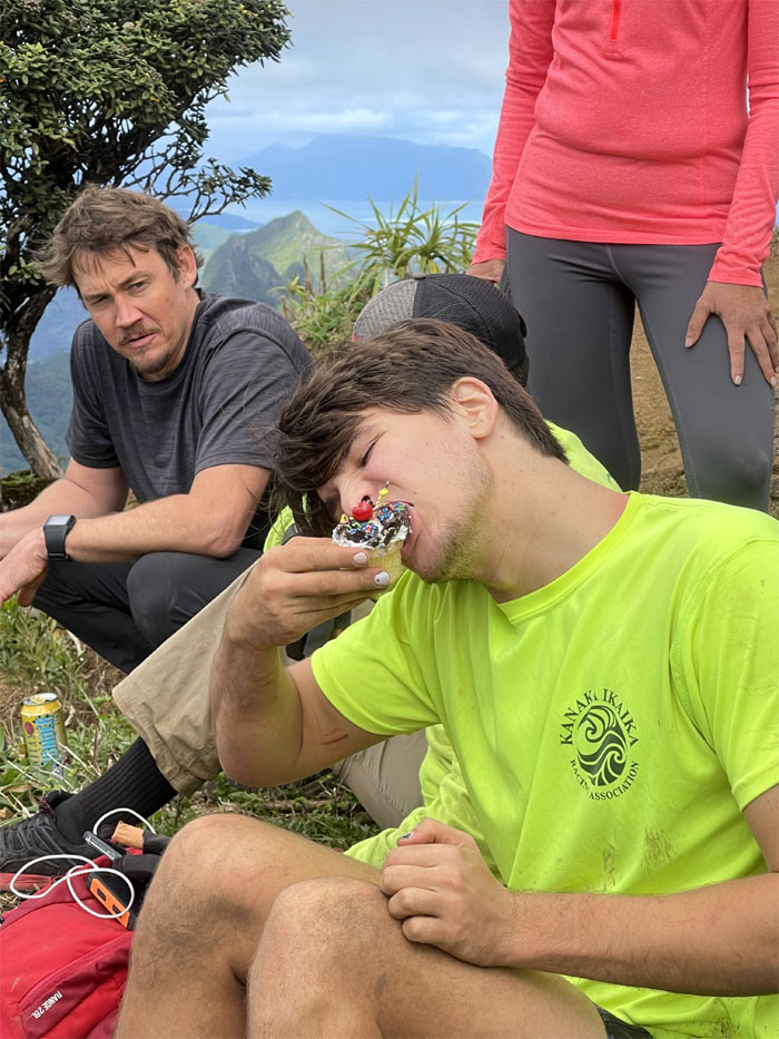
After we sung the birthday song to the absent birthday person and in different tones to boot, I gave away the chocolate sundate cupcake that I had toiled hours away on my Easy-Bake Oven to make. Happy Birthday Roseann! The boys sure appreciated my confectionary creation.
To valley or not to valley? We’ll be back. No Austrian accent involved. Photo by Ryan Meyer.
Somebody else was the human anchor for a change as we went back down the windward ridge. Photo by Lilyn Avendano.
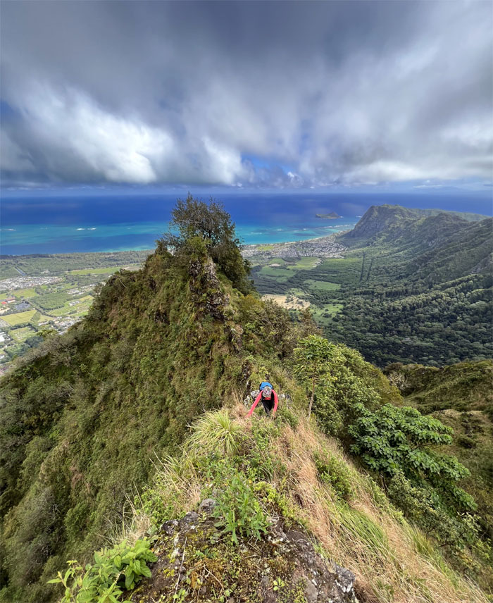
Lilyn climbing her way down from the summit. Photo by Matt Vidaurri.
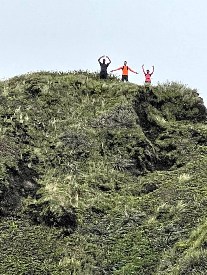
The three amigos signaling that they were going to go down Kuli’ou’ou East. I wouldn’t know as I didn’t learn ASL. Photo by Lilyn Avendano.
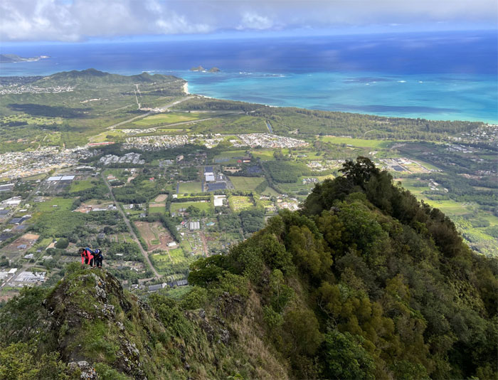
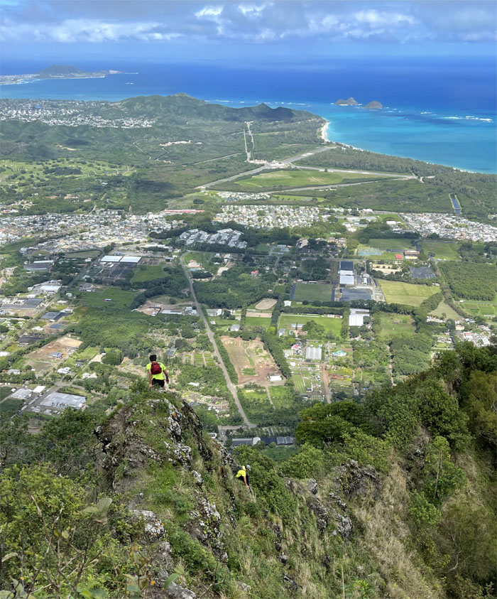
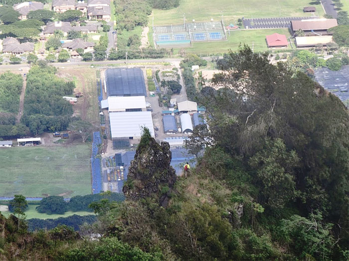
Going down with wrap around views of Waimanalo all around us. Eye candy. Photo by Matt Vidaurri.
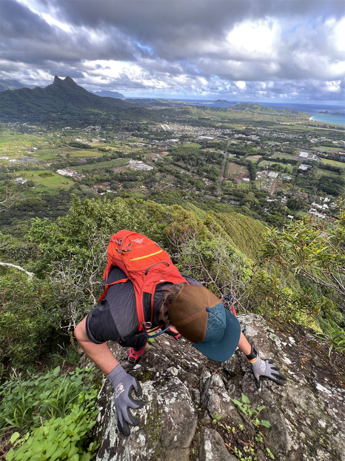
Colt coming down the same section where Leslie Merrell tragically lost his life ten years ago.
The group disappearing back into the canopy. Photo by Aida Gordon.
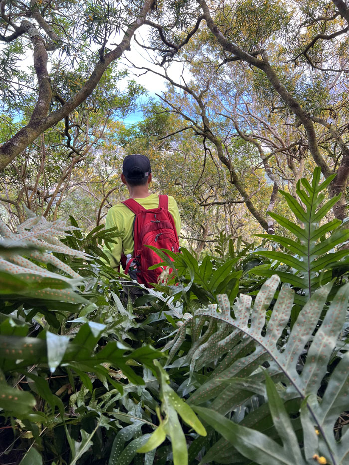
Matt walking through the feathery patch of ferns on the spur ridge known as Bear Claw Left Fork.
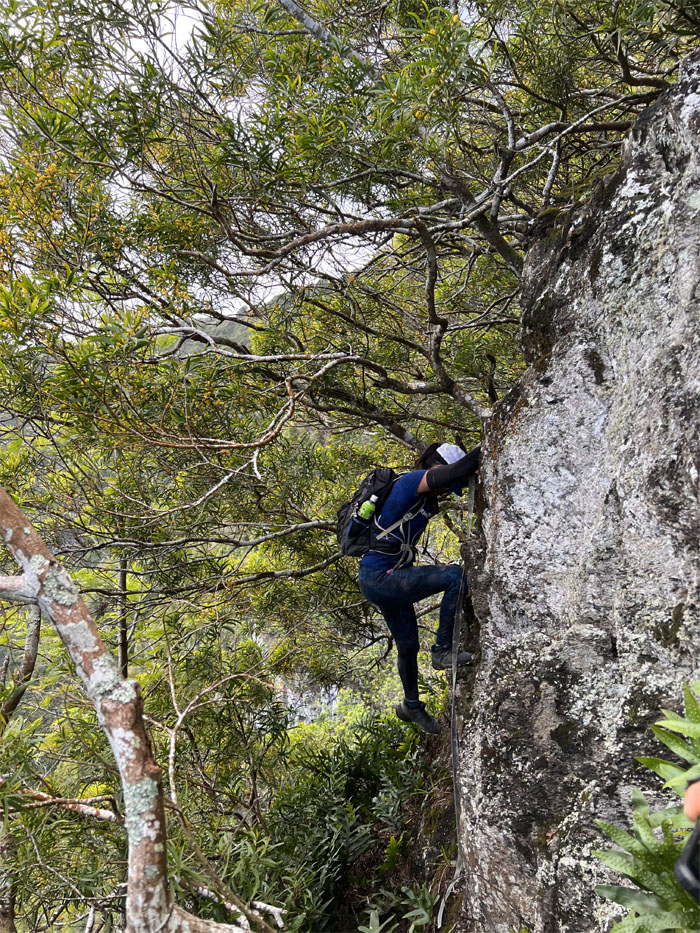
Lilyn climbing her way down the rockface.
Colt making his way down the “hardest” section on this fork.
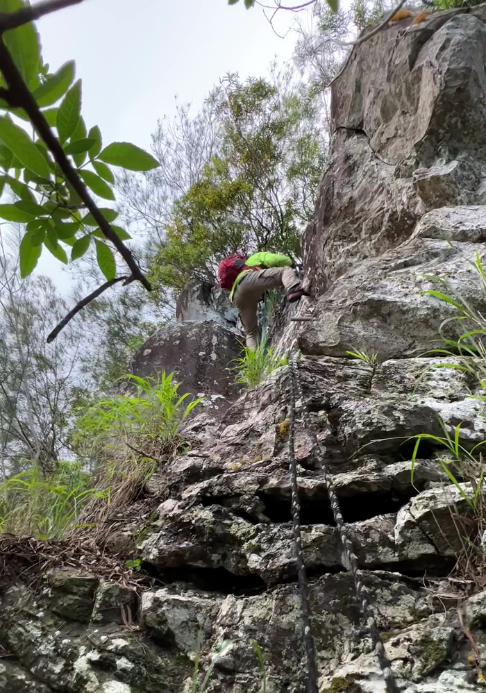
Matt coming down the “piped” section.
Boys will be boys.
Matchy-Matchy. Photo by Lilyn Avendano.
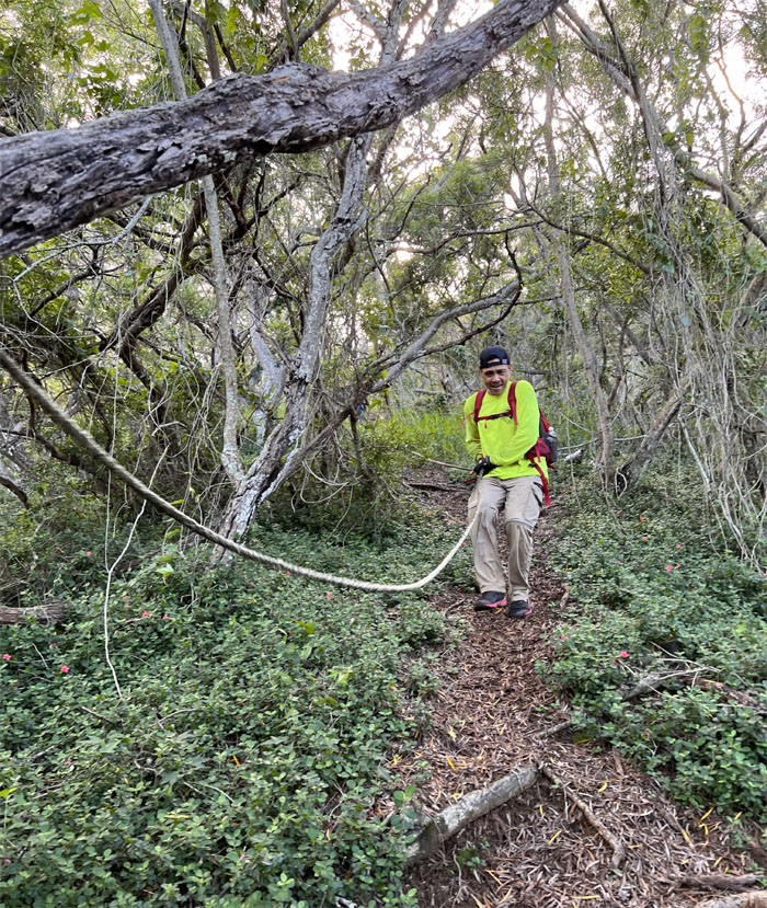
Matt enjoying the rope slide down.
We came down the trail and finally got our canned BOWS recording. A day late and a dollar short. As we exited Hilltop Ranch, we ran into Bob Tyson and talked story for a little awhile before walking back to Matt’s truck. Aida, Enrique and Ryan also caught an uber back to the truck to meet up with us. Perfect timing.
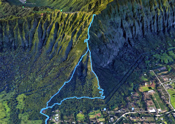
Our Waimanalo loop hike covered roughly three miles with a fun group. Post hike meal at Big City Diner where we caught the climatic conclusion to the Chiefs-Bills game.
Video by Matt Vidaurri of our Bear Claw Loop Hike.
https://www.youtube.com/watch?v=sUBrr9RZgzk
Note: I have been made aware that some hikers have been using my blog as a hiking guide and getting lost on the trails. Please note that this blog was made to document the hike for the crew(s) that did it. That is why some of my comments will seem to have no relevance or meaning to anybody outside of the crew(s) that hiked that trail. My blog was never meant as a hiking guide, so please do not treat it as such. If you find inspiration and entertainment from these hikes, that is more than enough. If you plan on replicating these hikes, do so in the knowledge that you should do your own research accordingly as trail conditions, access, legalities and so forth are constantly in flux. What was current today is most likely yesterdays news. Please be prepared to accept any risks and responsibilities on your own as you should know your own limitations, experience and abilities before you even set foot on a trail, as even the “simplest” or “easiest” of trails can present potential pitfalls for even the most “experienced” hikers.

{ 0 comments… add one now }