We set out to explore an obviously underused trail that contours a good chunk of the Waianae Mountain Range. The trail seems to have for the most part been lost to the passage of time and reclaimed by Mother Nature as we were to find out.
Many thanks to Jasmin and Lilia for dropping us off on the base that was open to the hiking public this weekend.
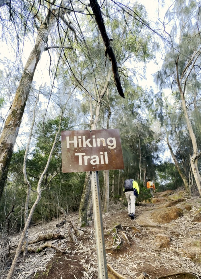
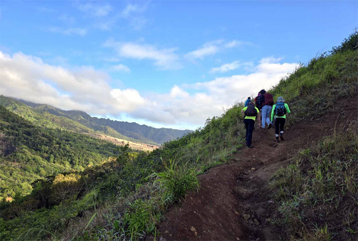
Going up the short slope of the stepped hill.
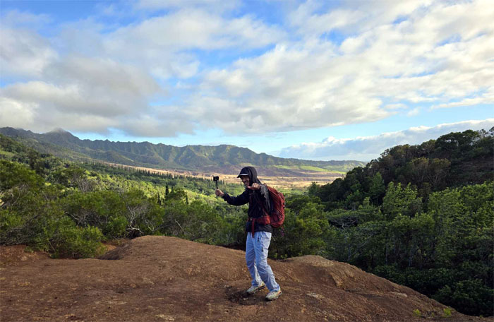
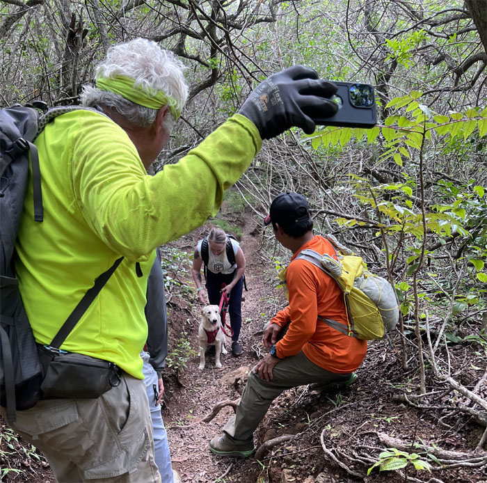
Chico adjusting for just the right angle.
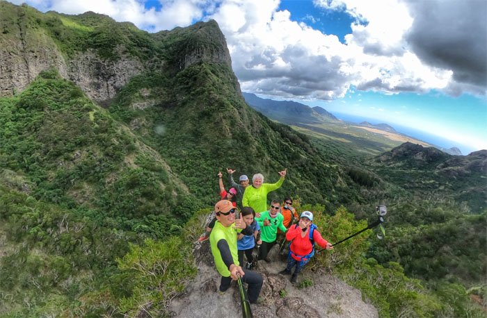
Akira on the exposed dirt with panoramic views of the central plains and the Waianae Mountains.
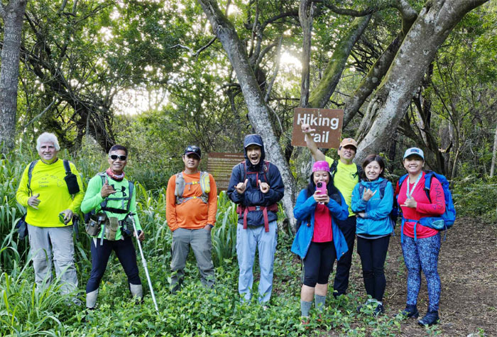
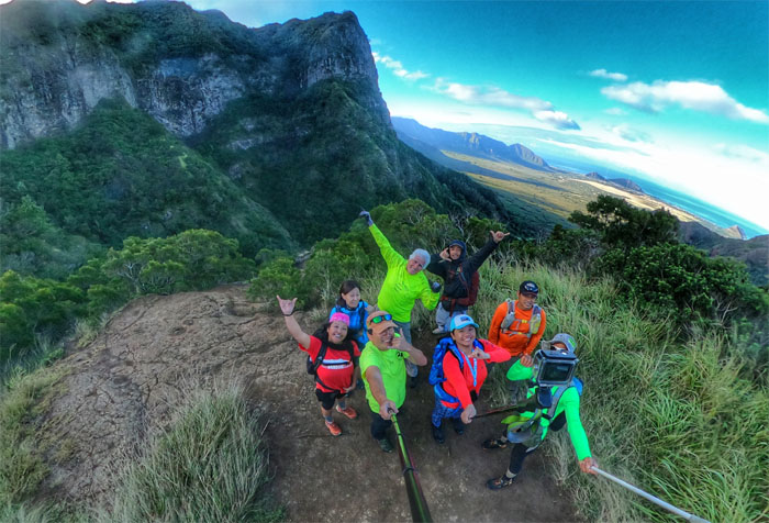
Group photo at the bench with a view.
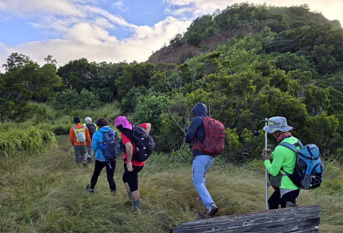
Leaving the meadows and plunging into the head high grass.
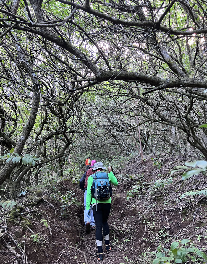
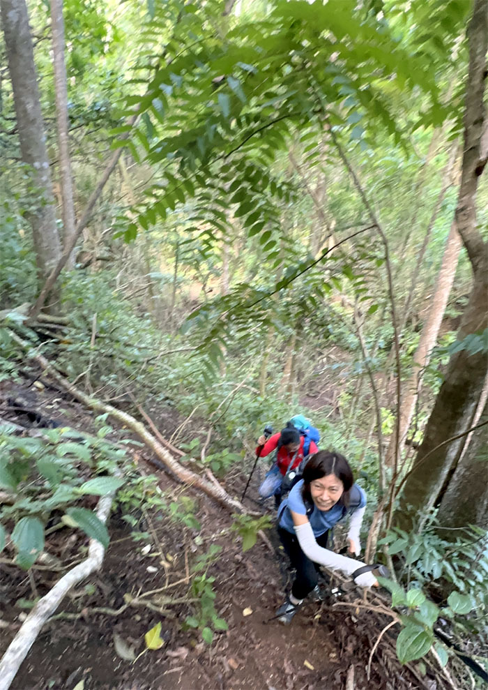
Going up the rutted trail under the tree canopy.
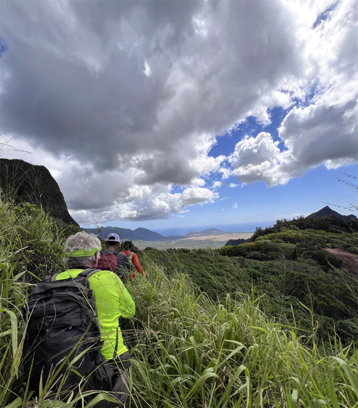
Breaking out onto the exposed trail with surrounding views.
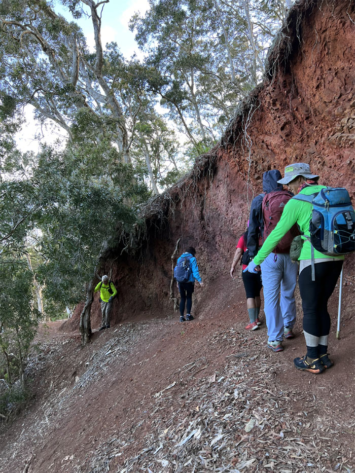
Hiking on the exposed and eroded trail where a slip would not be pretty.
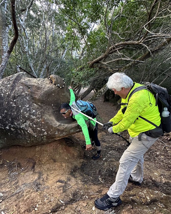
Ferlino and Tessa re-enacting the incident where
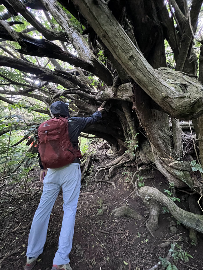
Akira underneath the twisted and gnarled tree.
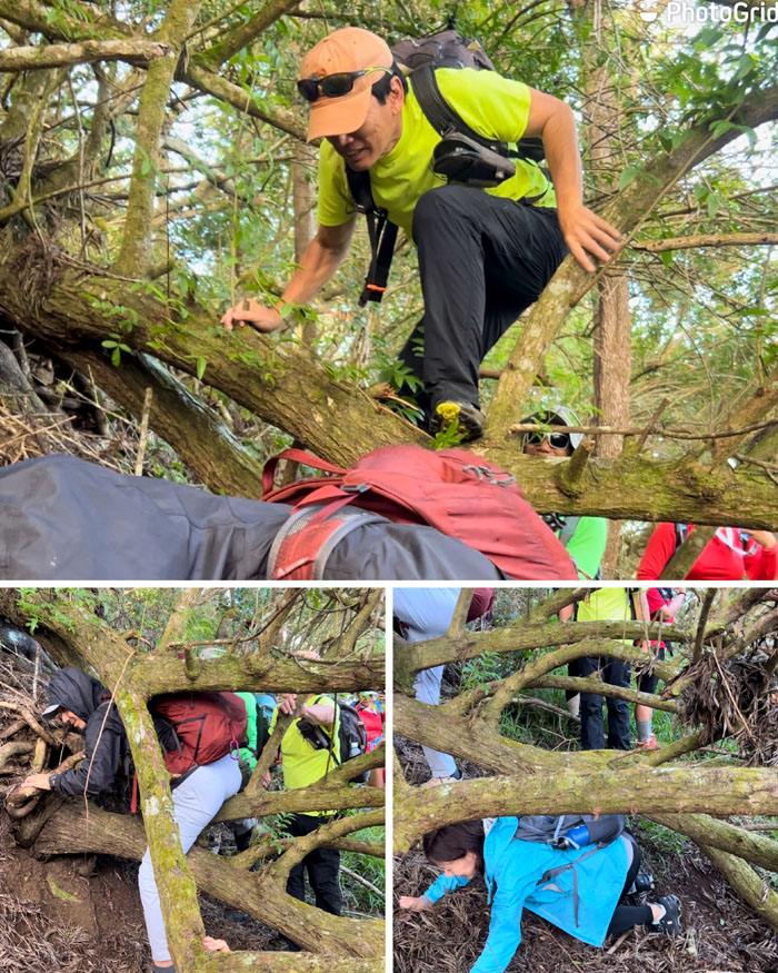
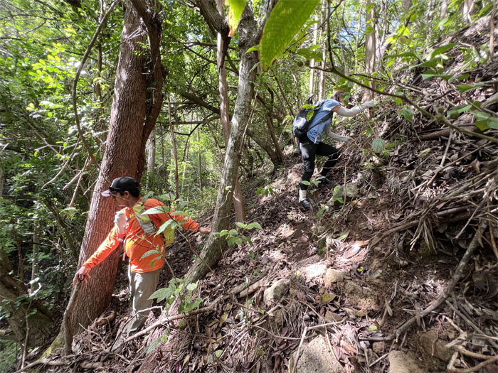
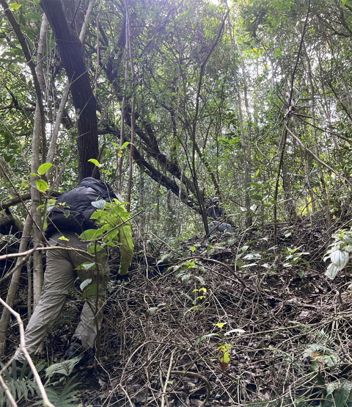
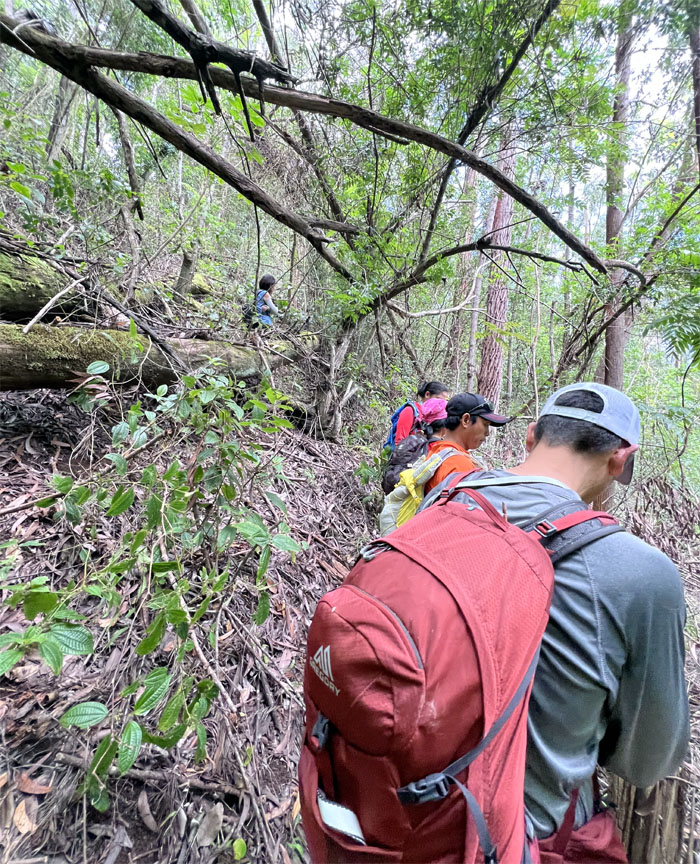
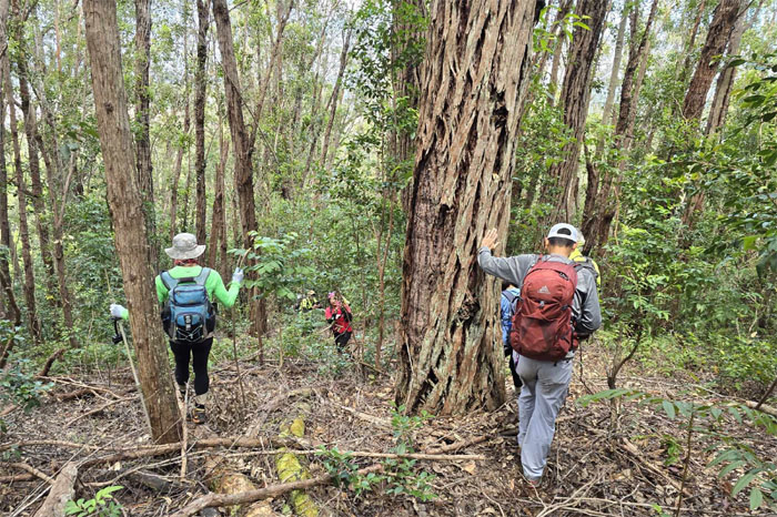
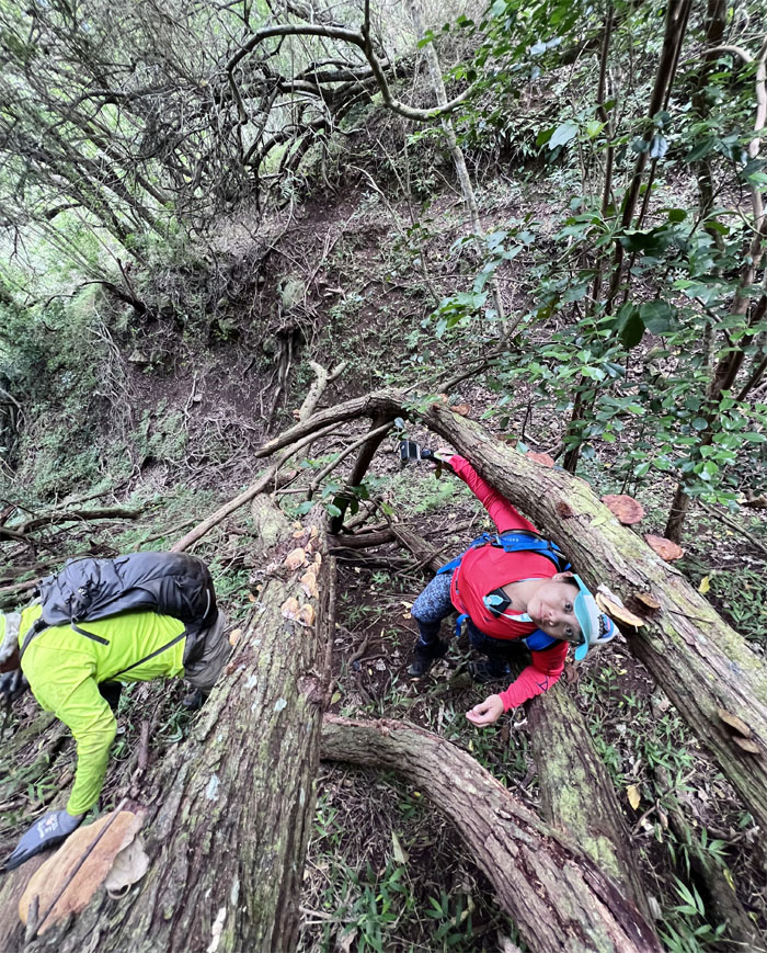
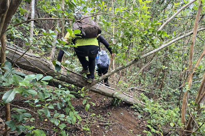
Stepping foot on the “dark bay” trail as we crawled, contoured and climbed through the many tree blowdowns littered on the trail.
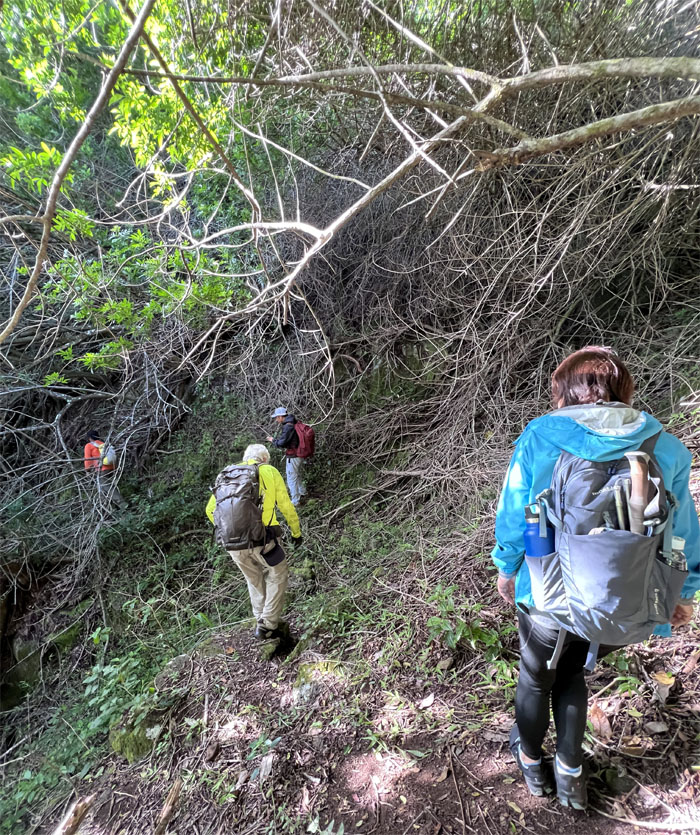
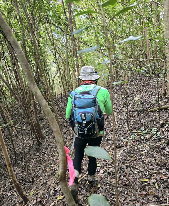
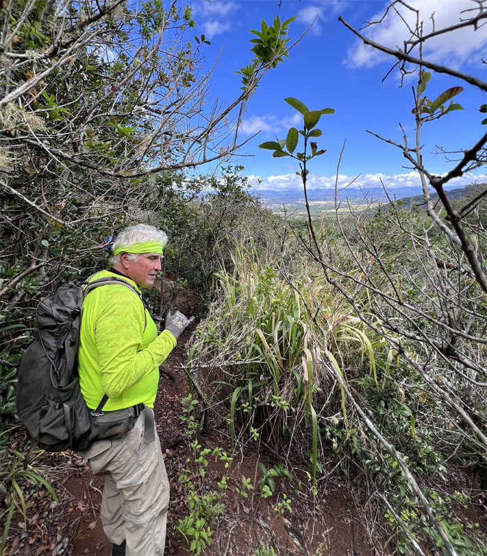
Traversing on the trail that would soon disappear into overgrowth and twists and turns.
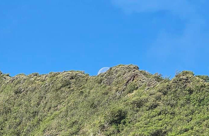
The waning gibbous moon behind the Waianae Mountain Range.
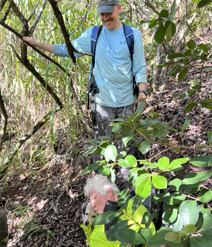
We soon ran across a hiker and his dog Piper who had turned around due to losing the trail to overgrowth. Overconfidence got the better of us so we pressed on despite the no trail warning. Somebody said think of us in six hours. Famous last words.
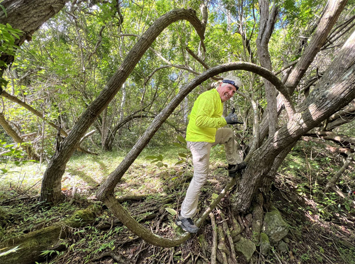
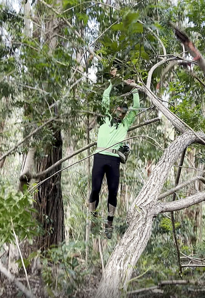
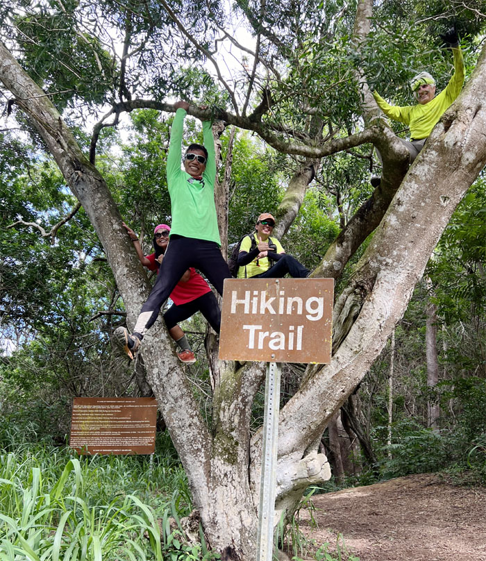
Chico balancing on the tree loop that was okay according to the botanist in the group.
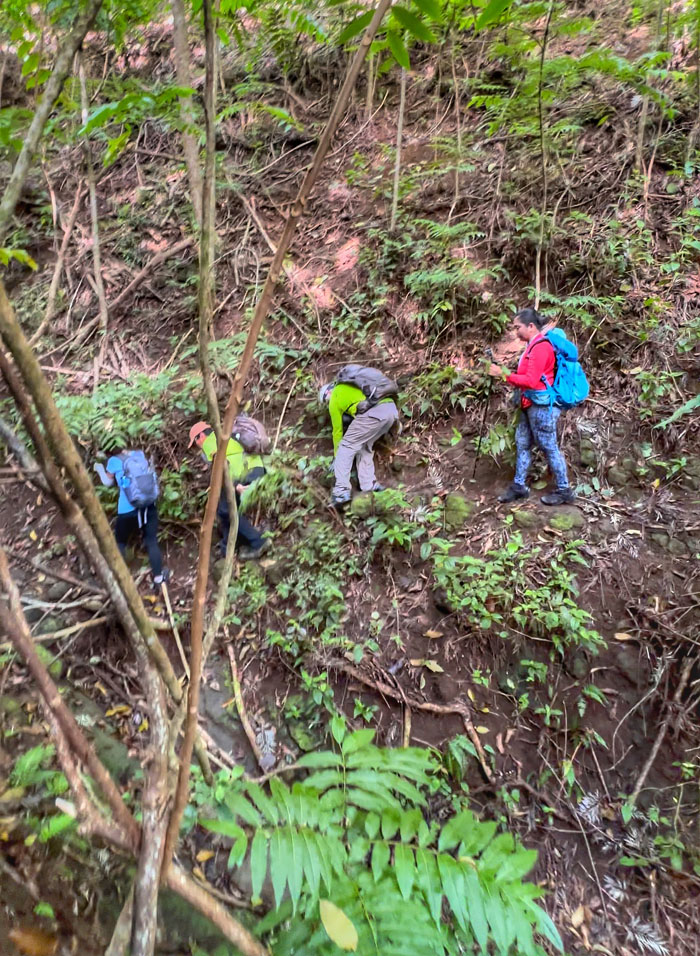
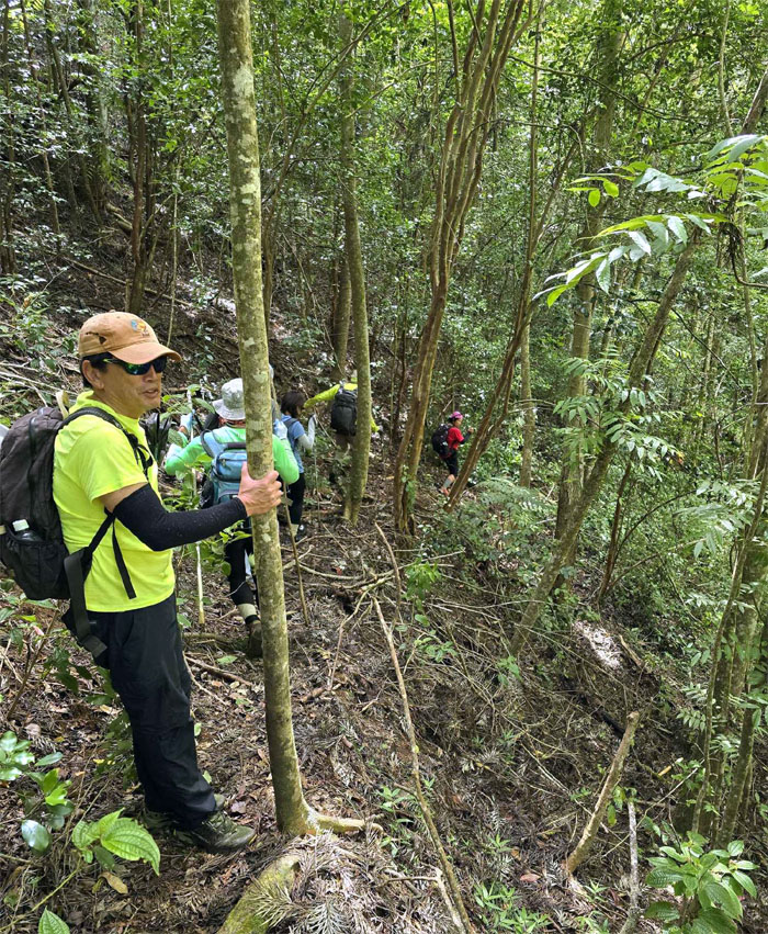
The group contouring in and out of multiple gullies in the mountains.
Who said this was a flat trail?
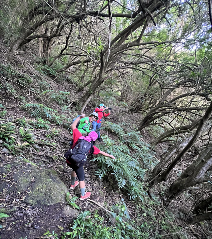
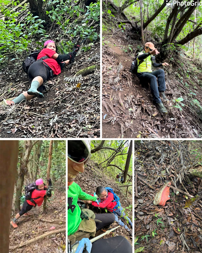
Climbing and sliding down the crumbly hill which claimed a red shoe and some people’s dignities. Still good for a few laughs.
Climbing back up with the help from her friends and some webbing.
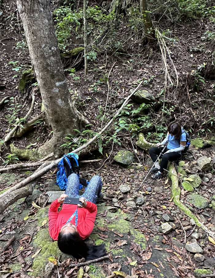
The girls taking a break while we tried to figure out where the trail was located in the mountains. Just like trying to find hidden Easter eggs. Bread crumbs would have been preferred.
Some of us went low …
… the rest of us went high.
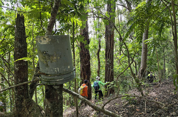
Passing a bucket marker as we all joined back up and continued on the trail.
The point of return. We decided to throw in the towel and turn around. I read on some old posts that this trail was so bad that a trail clearing crew got trapped around 1982 and had to spend the night? Then on top of that, Hurricane Iwa of that same year wrecked the trail with landslides and vegetation wiping out the trail in most places. Some parts of the trail were cleared but I don’t think this trail is maintained anymore and there are several groups such as The Nature Conservancy that would like for the trail to remain blocked so as to protect the endemic plants.
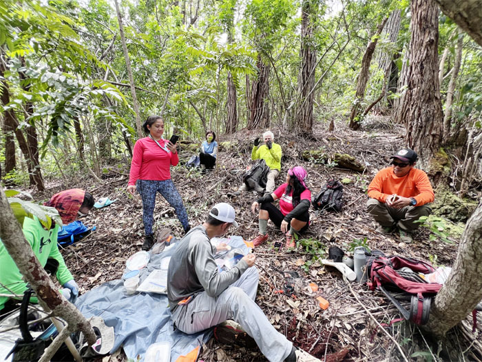
But first we decided to eat our lunch in the mountains. Along with the clouds of mosquitoes that also call this place home.
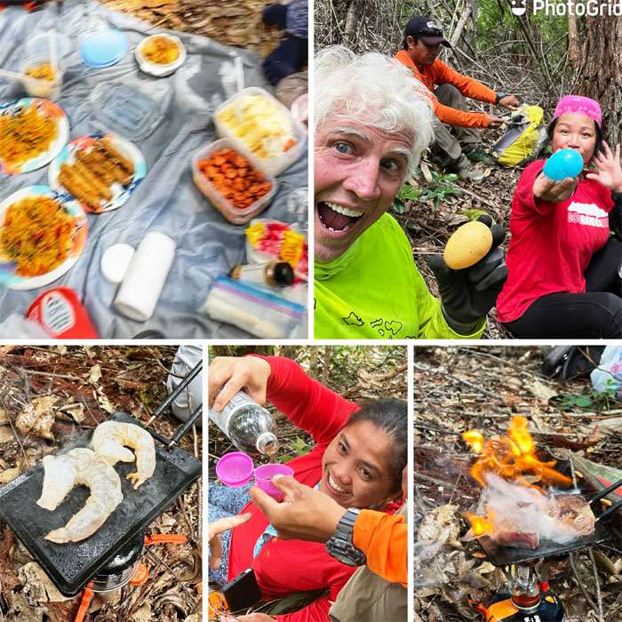
Thanks to Chef Suzuki who grilled us steak and shrimp and the rest of the gang for bringing chicken adobo, pancit, sausage, rice and soda. We eat good when we hike.
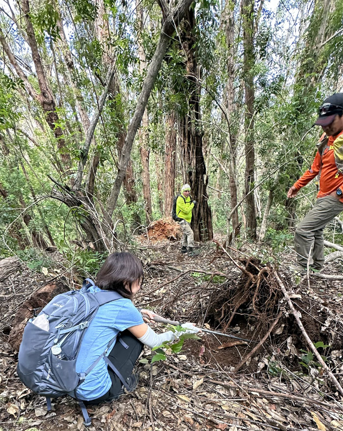
Famous last words from the botanist. This tree is strong, the roots go all the way back, this tree is not going anywhere. Timber!
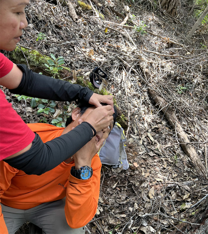
First aid in the mountains.
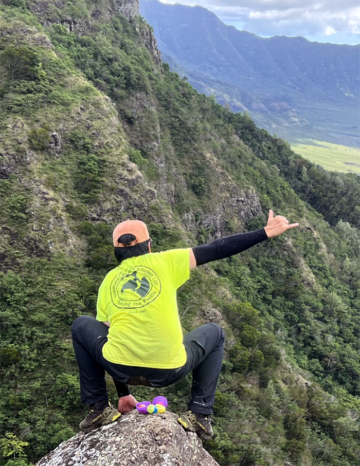
Mari poking around the base of the toppled tree for the golden egg.
Leaving our lunch spot.
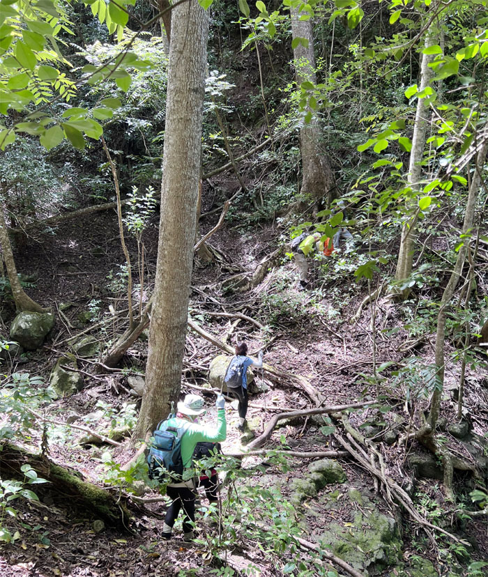
Going downhill.
Dropping into the gully where we got slightly disoriented.
Back on the trail.
Agnes threading her way through the tree blowdown that was being slowly recycled by the fungi growth.
Chico with the background of Wheeler Army Airfield where he used to fly choppers at the army post that was built in 1922.
Leaving the overgrowth behind us as we made our way to the stand of paperbark trees.
Breaking out of the tree line as we made our way down back to the meadows.
Yielding to one of many dogs on the trail.
Happy Easter from the scenic spot.
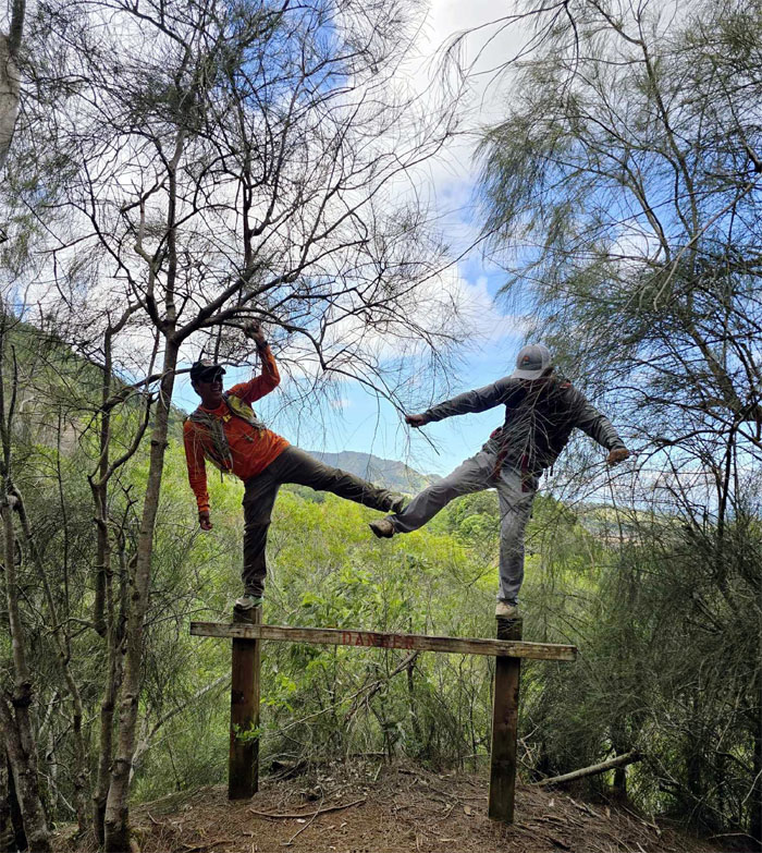
These guys are no stranger to danger.
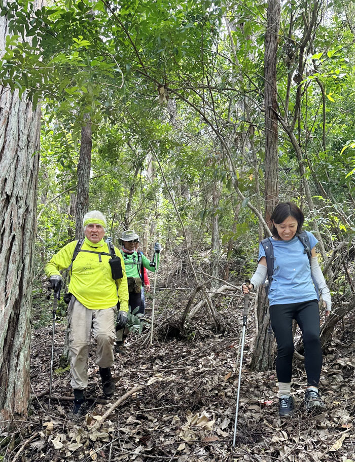
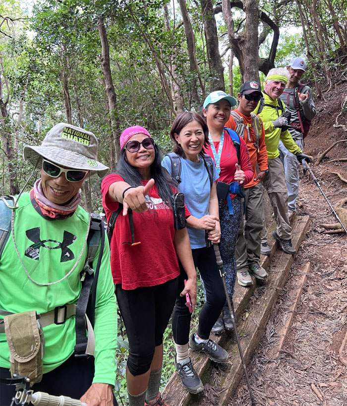
The group lined up going down the trail.
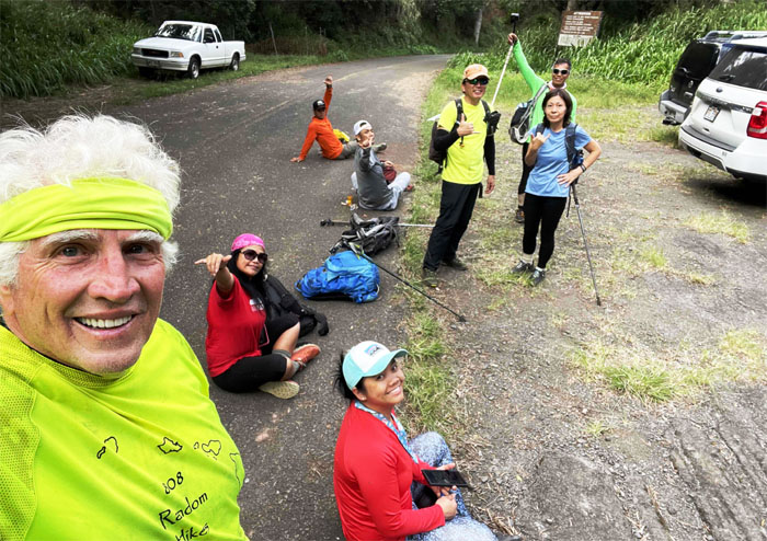
Hanging out while waiting for our rides.
Thanks to Jasmin and Lilia who picked us up and brought us cold drinks. Much appreciated.
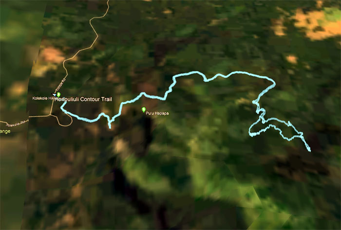
Our first crack at this trail barely put a dent in it at 4.62 miles roundtrip, 2.23 miles out of an estimated 15.8 miles. Nevertheless, it was a fun exploratory hike with a good group of friends. Post hike meal at Five Guys where you build your own burger and milkshakes.
Photos taken by Agnes Bryant, Akira Suzuki, Chico Cantu, Chris Bautista, Ferlino Carinio, Mari Saito, Tessa Bugay, and yours truly. Not necessarily in order.
Note: I have been made aware that some hikers have been using my blog as a hiking guide and getting lost on the trails. Please note that this blog was made to document the hike for the crew(s) that did it. That is why some of my comments will seem to have no relevance or meaning to anybody outside of the crew(s) that hiked that trail. My blog was never meant as a hiking guide, so please do not treat it as such. If you find inspiration and entertainment from these hikes, that is more than enough. If you plan on replicating these hikes, do so in the knowledge that you should do your own research accordingly as trail conditions, access, legalities and so forth are constantly in flux. What was current today is most likely yesterdays news. Please be prepared to accept any risks and responsibilities on your own as you should know your own limitations, experience and abilities before you even set foot on a trail, as even the “simplest” or “easiest” of trails can present potential pitfalls for even the most “experienced” hikers. One should also always let somebody know of your hiking plans in case something doesn’t go as planned, better safe than sorry.

{ 0 comments… add one now }