Joined HTMC for a members only hike that advertised that “our goal is a saddle on the southeast valley rim.” Intrigued by the possibility of a “new hike”, I met up with the waiting members in the outer parking lot of Ahupua’a ‘O Kahana State Park. Photo by Dale Yoshizu.
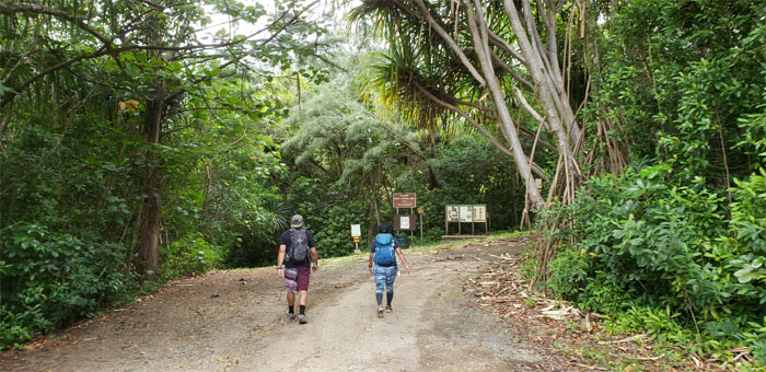
The hike coordinator, Caitlin, advised us that this hike was simply a rebranded hike that lead up but not to the summit of Pu’u Ohulehule. She dangled the option of continuing to the summit on our own after the club hike to the saddle ended. After moving our cars further into the valley, we started hiking into the state’s only public ahupua’a that stretches from the top of Pu’u Pauao to Kahana Bay.
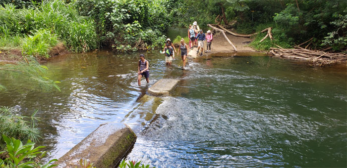
Everybody getting their feet wet at the first stream crossing.
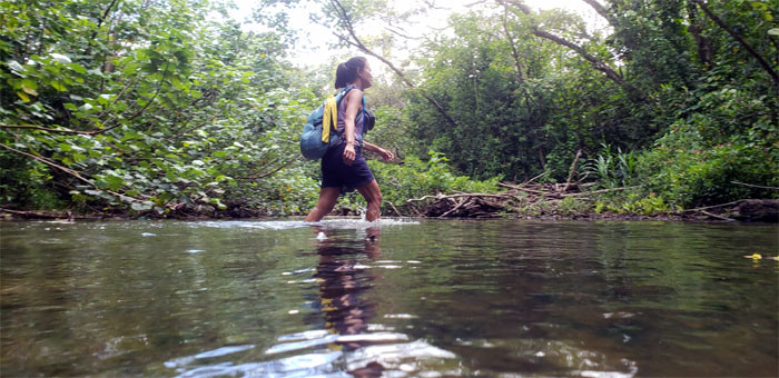
Left the Nakoa Trail to ford the second stream teeming with who knows what.
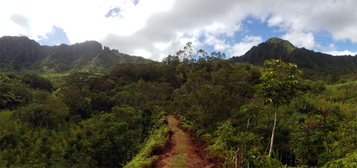
We crossed two more narrow streams interrupted by a forest filled of lauhala aerial roots and crunchy leaves. The trail soon left the valley floor and began the long incline towards the summit, that was somewhat tempered by the recent clearing.
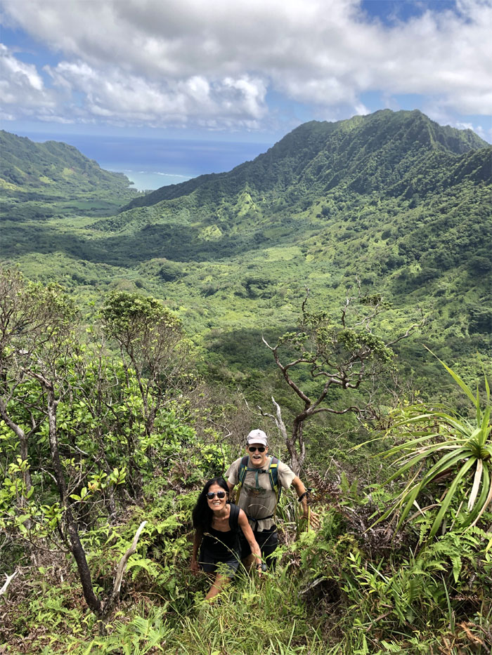
Janice and Don, veteran HTMC hikers, coming up the trail. Photo by Dale Yoshizu.
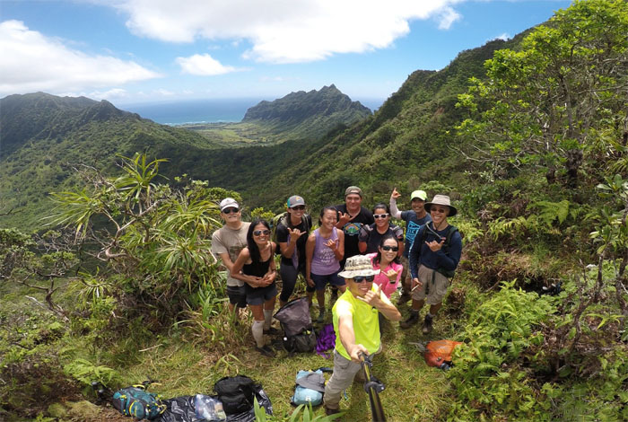
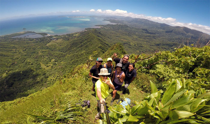
Group photo left to right: Don, Janice, Caitlin, Lilyn, myself, James, Sonia, Yuchon, Dale and David. There were some stragglers still coming up the ridge that didn’t make the group shot. Six of us decided to continue to the summit, while the rest of the group turned back.
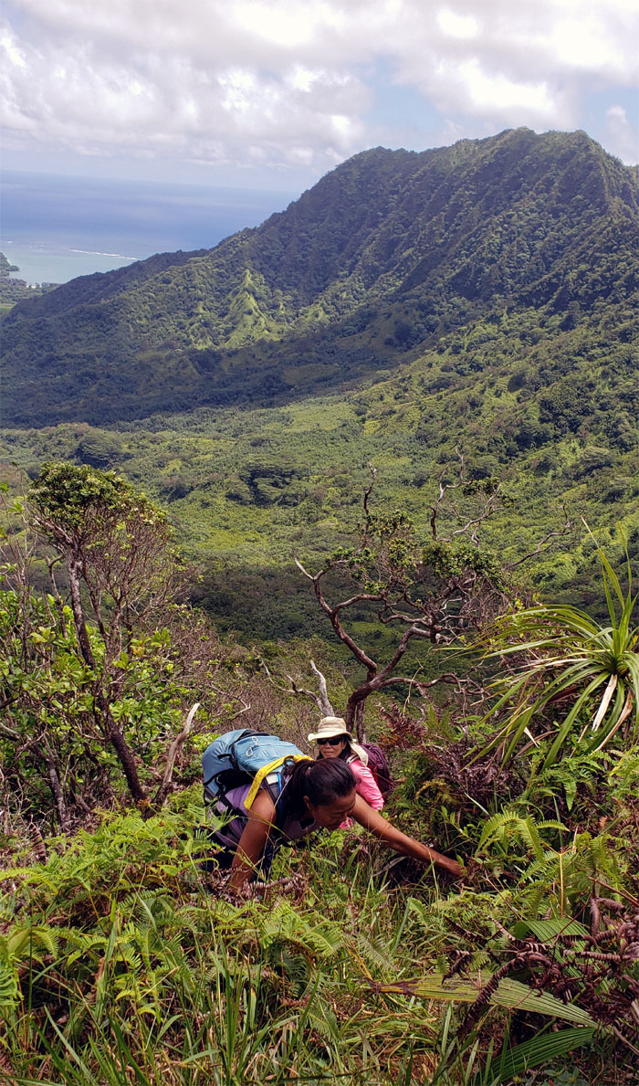
Lilyn leaving the flat spot on the saddle to begin our short but steep climb to the summit.
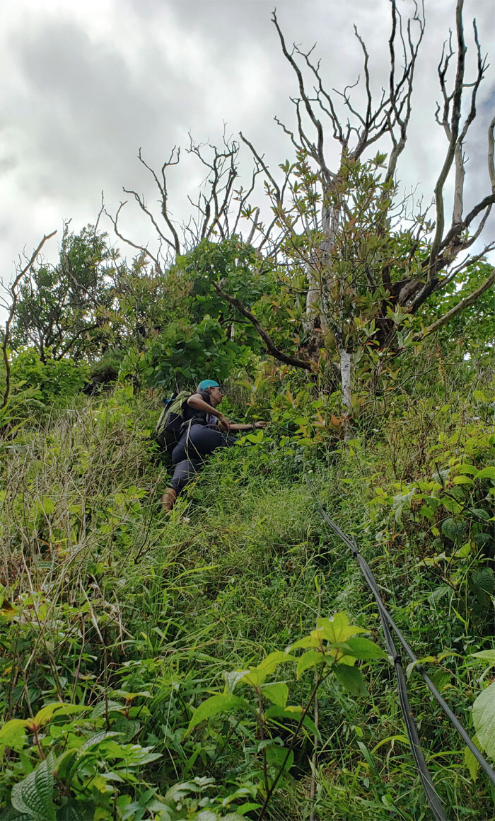
Caitlin pulling herself up the ridge.
Bug buffet. Photo by Dale Yoshizu.
Group photo with the ridge behind us that Stuart Ball called “the most dangerous hike on the island.” My suggestion that we hike down that direction was met with a mixture of laughter and dismissal.
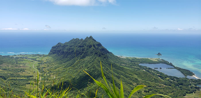
The typical photo shot of Pu’u Kanehoalani from the 2,265′ summit.
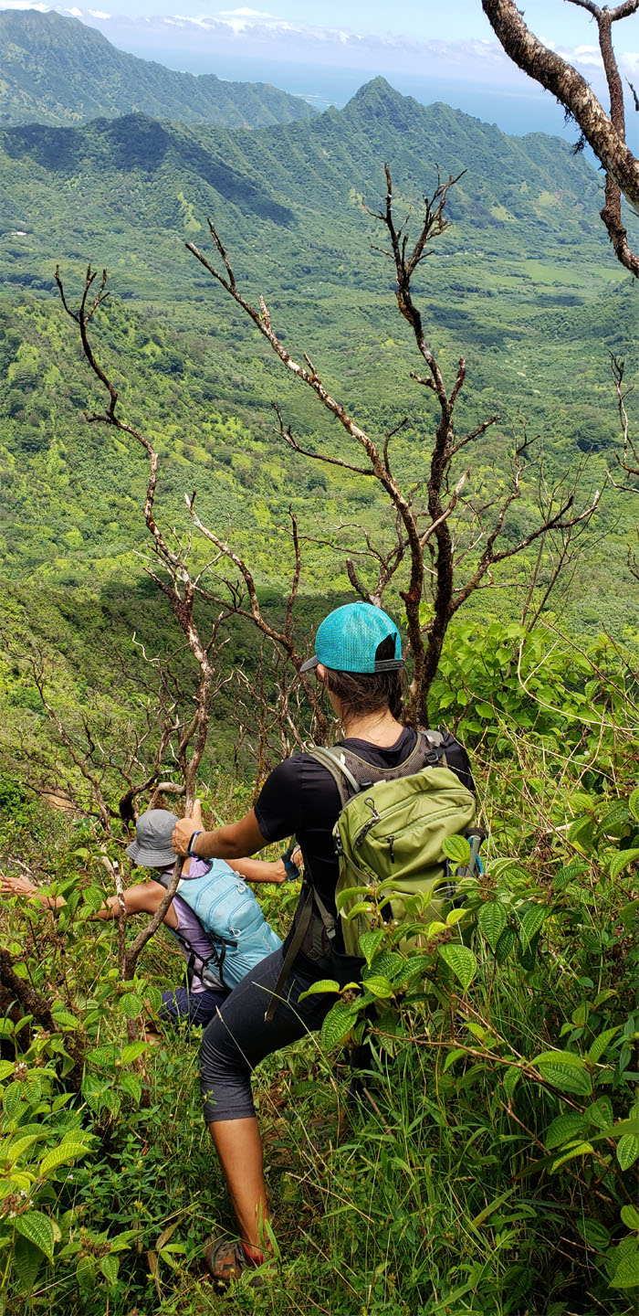
What goes up must come back down. Braking our gravity fueled descent with ropes and tree branches.
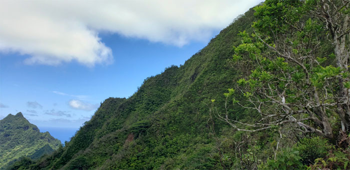
Looking back at the last ridge that we haven’t hiked to the summit of the pyramid peak. On the list.
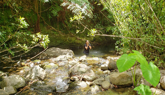
Caitlin plunged into the cool waters of Kawa Stream to seek a brief respite from the stifling humidity that hung in the air.
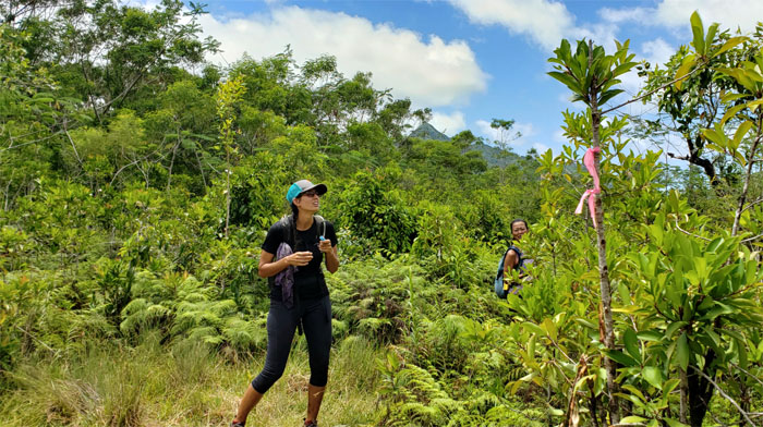
Should I or shouldn’t I? Plucking the pink ribbons off the tree branches so that the trail can remain in relative obscurity? Our fun in and out hike covered 6.75 miles through streams and steep ridges with spectacular valley views. Post hike meal at Waiahole Poi Factory where you can’t have Hawaiian food without chili pepper water.
Note: I have been made aware that some hikers have been using my blog as a hiking guide and getting lost on the trails. Please note that this blog was made to document the hike for the crew(s) that did it. That is why some of my comments will seem to have no relevance or meaning to anybody outside of the crew(s) that hiked that trail. My blog was never meant as a hiking guide, so please do not treat it as such. If you find inspiration and entertainment from these hikes, that is more than enough. If you plan on replicating these hikes, do so in the knowledge that you should do your own research accordingly as trail conditions, access, legalities and so forth are constantly in flux. What was current today is most likely yesterdays news. Please be prepared to accept any risks and responsibilities on your own as you should know your own limitations, experience and abilities before you even set foot on a trail, as even the “simplest” or “easiest” of trails can present potential pitfalls for even the most “experienced” hikers.

{ 0 comments… add one now }