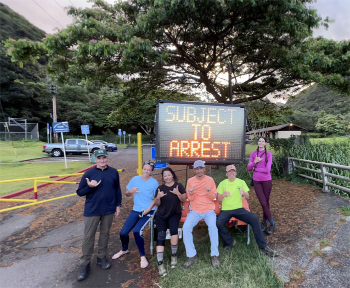
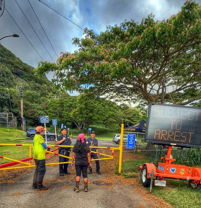
We picked up where we had left off from last weekend. Staged our cars at Moanalua Valley and briefly talked to the police officers (popo) watching the valley 24/7 while somebody used the bathroom. The slang “popo” originated in Southern California when police officers on bicycles wore t-shirts with PO (police officer) printed on them. Riding in pairs, they would spell out po-po. Thanks to Cinja for giving us a ride before her hike. Amber was there just for the photo shoot.
Left the humid valley of yet to be seen wallabies and broke out on the exposed ridge cooled with abundant trade winds.
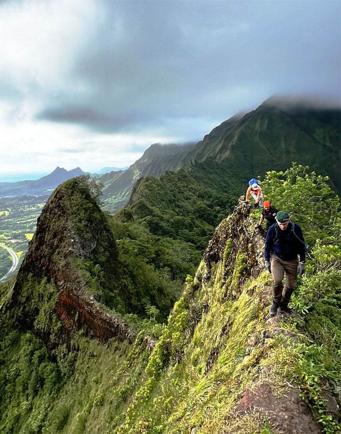
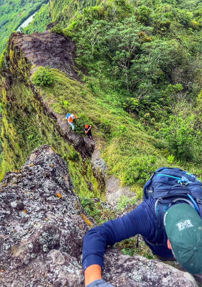
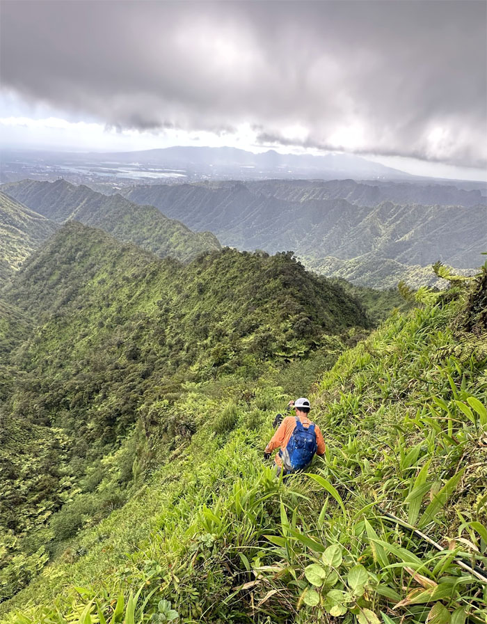
Skirting the narrow ridge bordered with bushes on one side and steep drops on the other side.
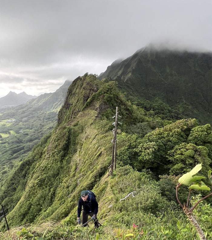
Roger climbing up the back side.
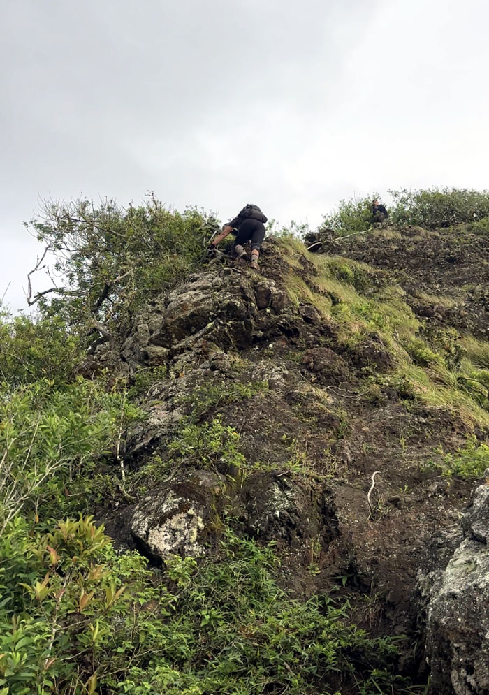
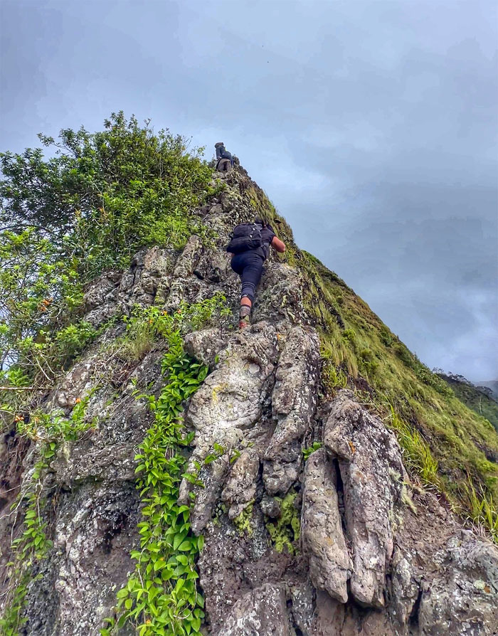
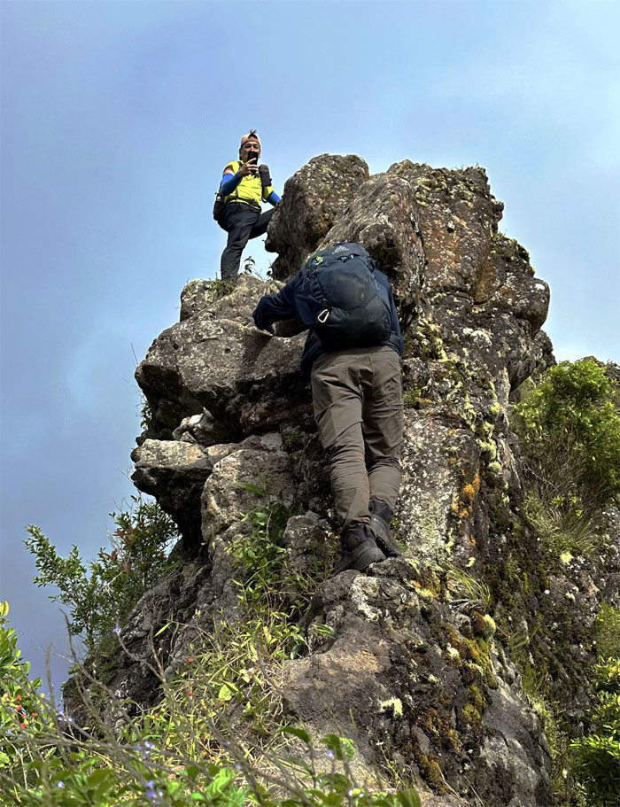
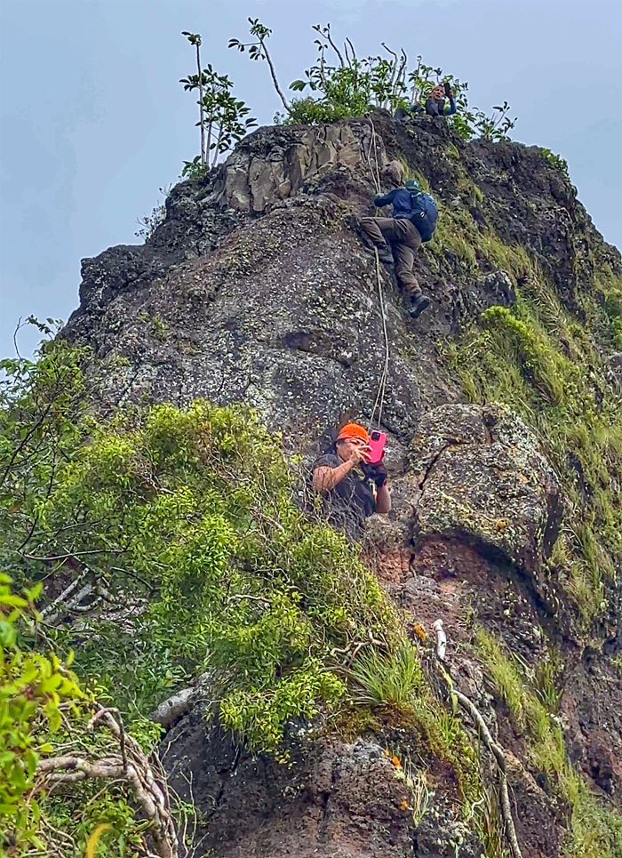
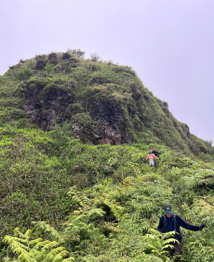
Tessa climbing up the conical shaped rockface.
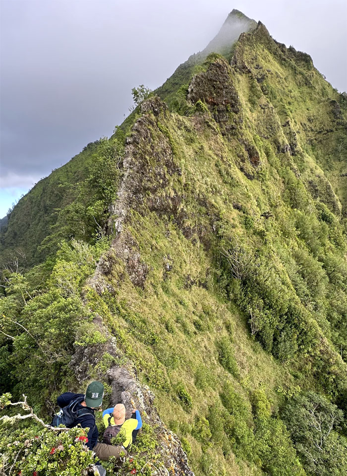
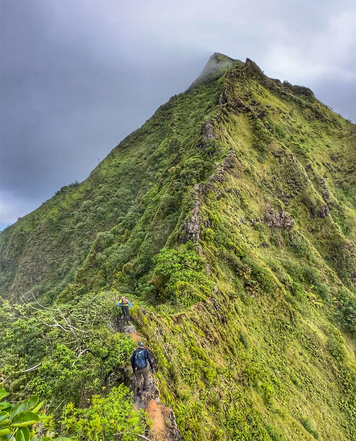
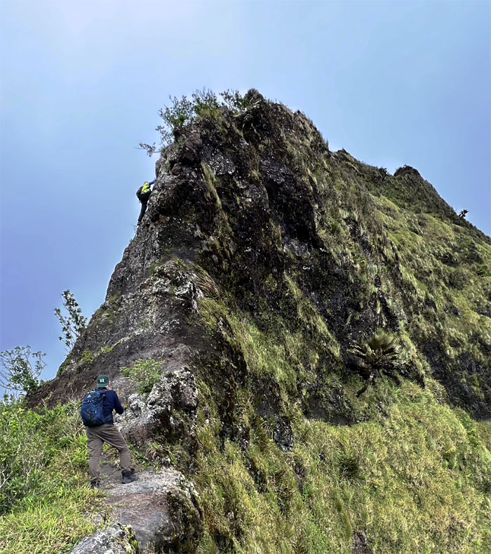
Looking ahead to the steep and unrelenting climb ahead of us.
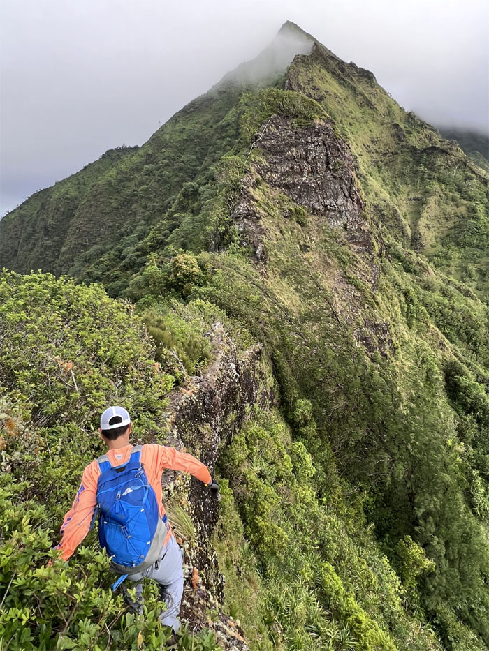
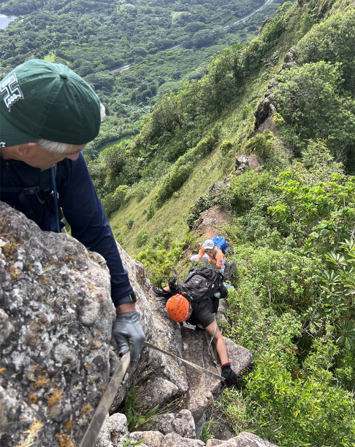
Akira downclimbing the front side of the hat.
Which rock is crumbly and which one is not? Playing Jenga in the mountains.
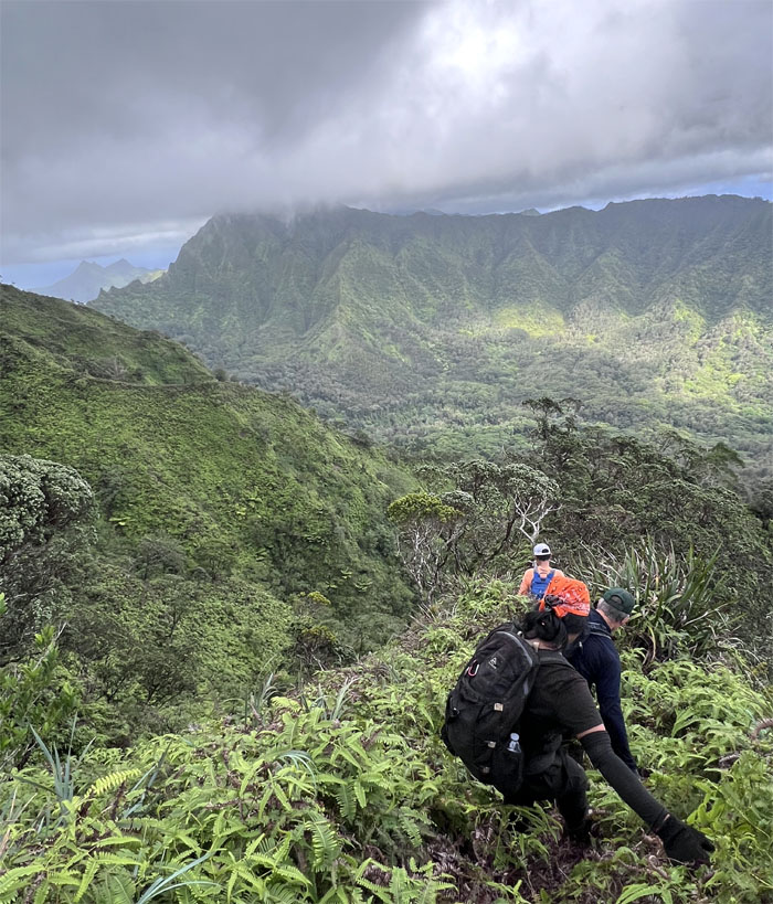
The rest of the group cresting over one of many high points on the ridge.
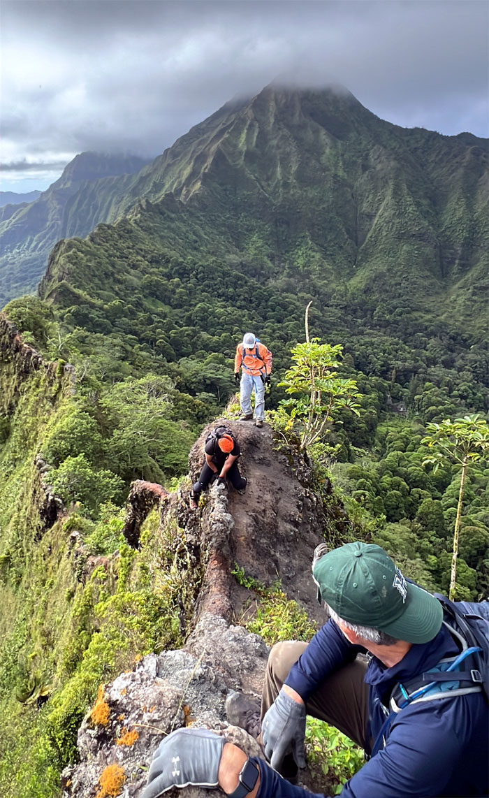
Keeping our center of gravity low as the winds pushed us around on the saddle.
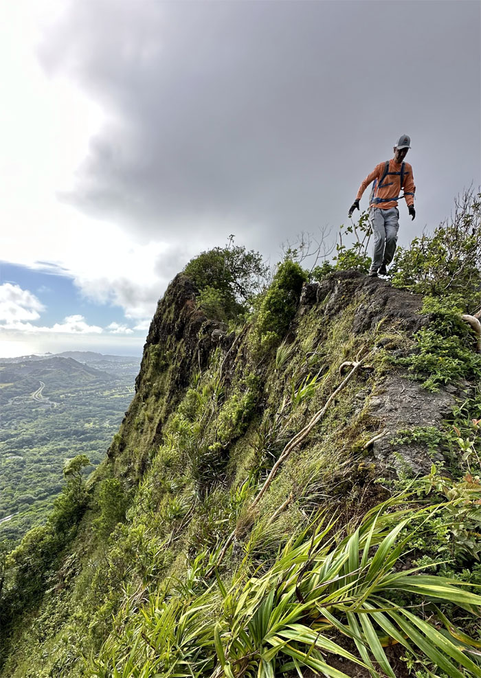
Akira keeping his balance as he “rides” the wave on the ridge line.
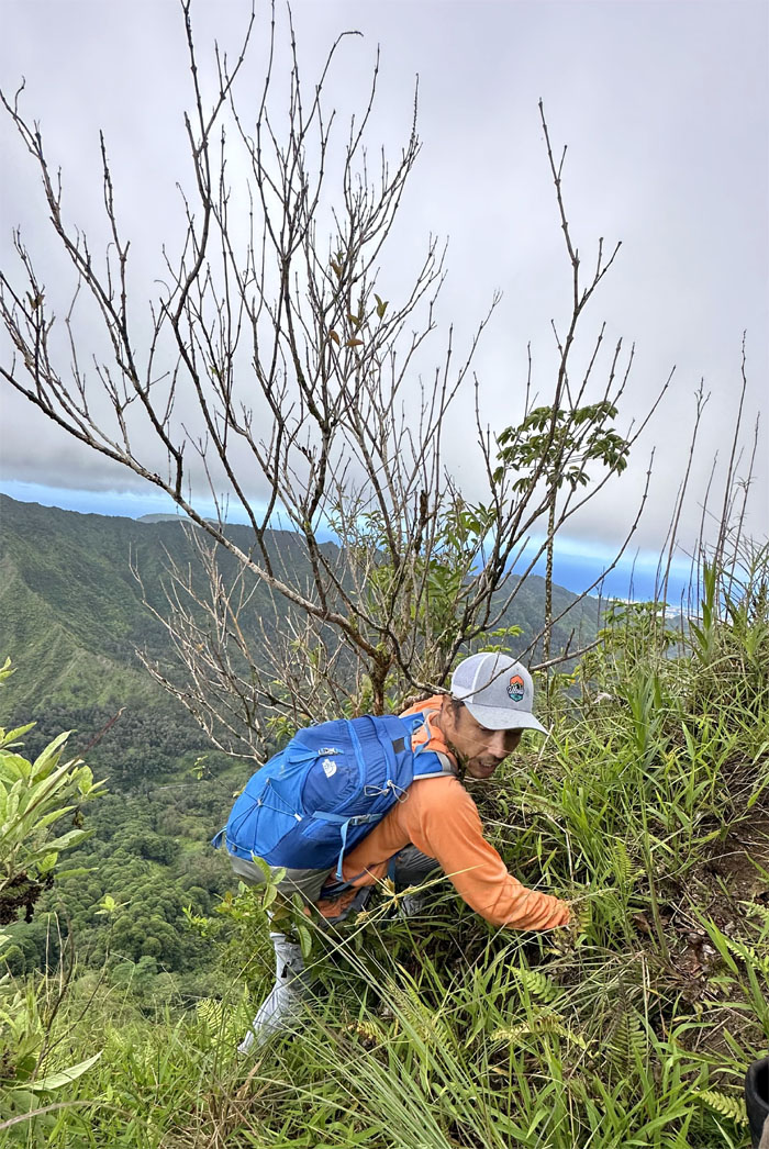
Roger finding his own way.
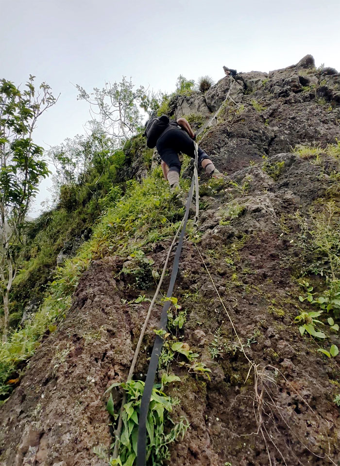
Tessa climbing her way up the rockface.
Straddling the new dirt dragon. The other one is set to retire soon.
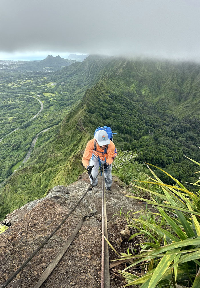
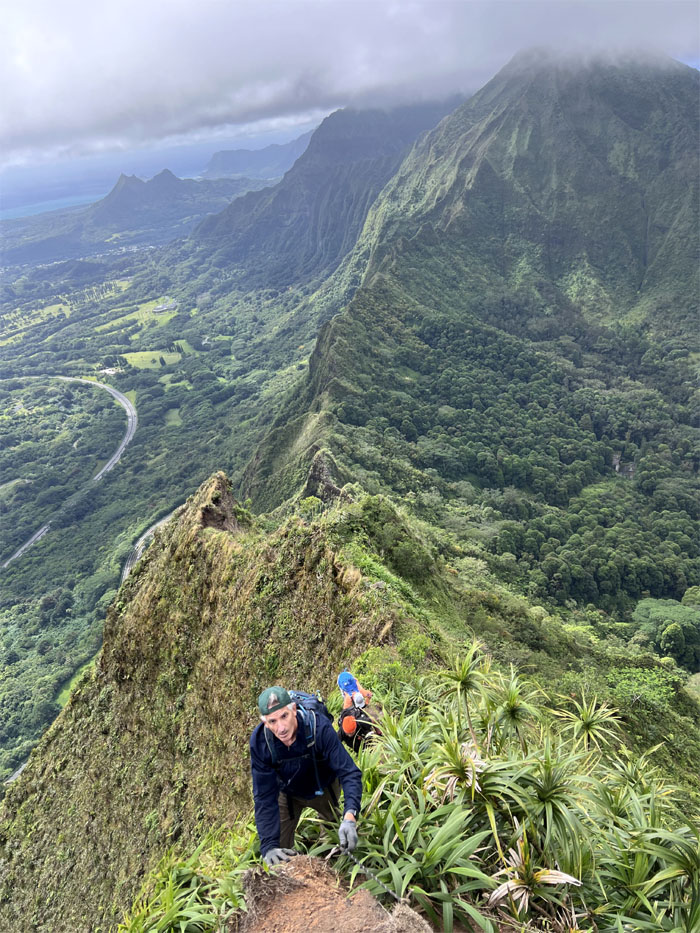
Climbing up on the exposed Windward side.
Roger providing photographic support.
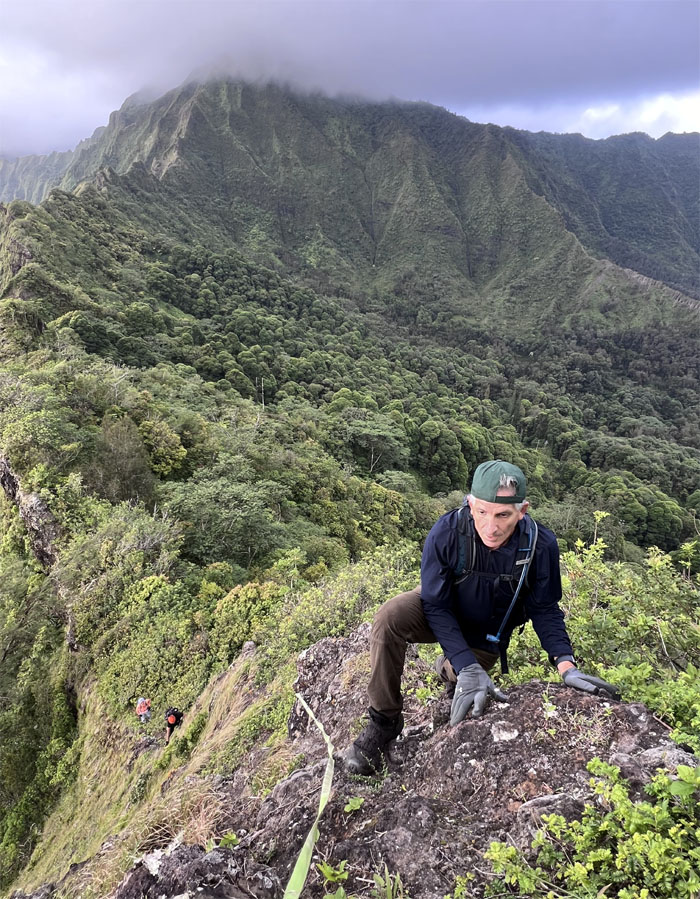
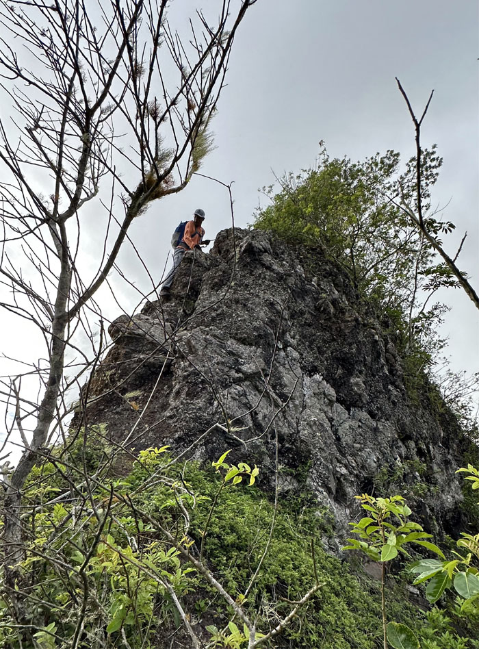
Pulling myself up on the Leeward side of the rockface.
Roger climbing his way up.
Tessa’s turn to climb up the rockface.
Akira coming up the uneven runway of loose and shifting dirt and rocks.
Everybody had to eat their Wheaties to make it up this one. It was probably the most physically exhausting in terms of upper body strength.
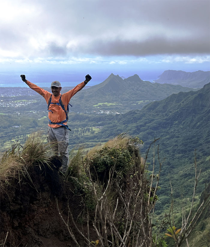
Akira standing on the crumbly edge. Not too far out, just far enough.
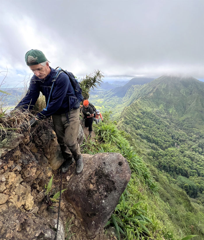
Roger scrambling over the bulging rock.
The group climbing up the thin strip of loose dirt that passed for a ridge line.
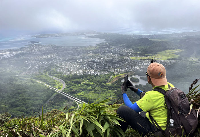
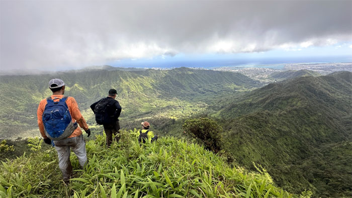
Soaking in the mountain views after our climb out of the saddle.
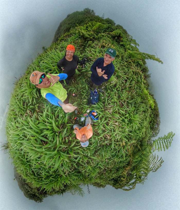
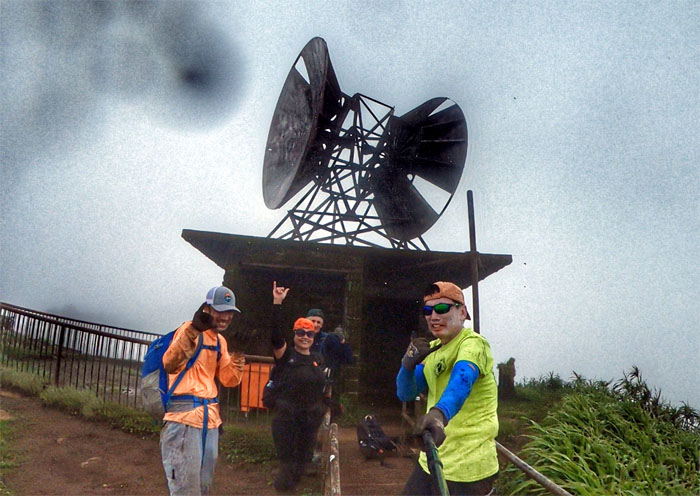
Group photo at the 2,740′ summit of Pu’u Kahuauli (Bowman).
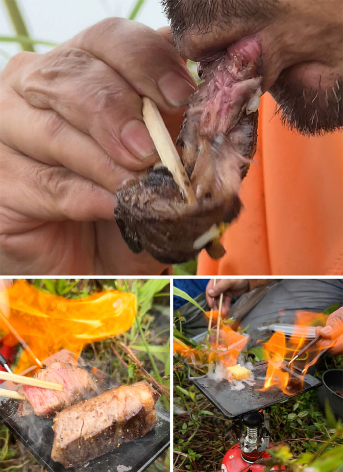
Chef Suzuki cooking up his signature steak in the mountains. More butter and medium rare please.
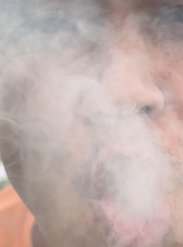
Secondhand smoke. Psychoactive collateral damage?
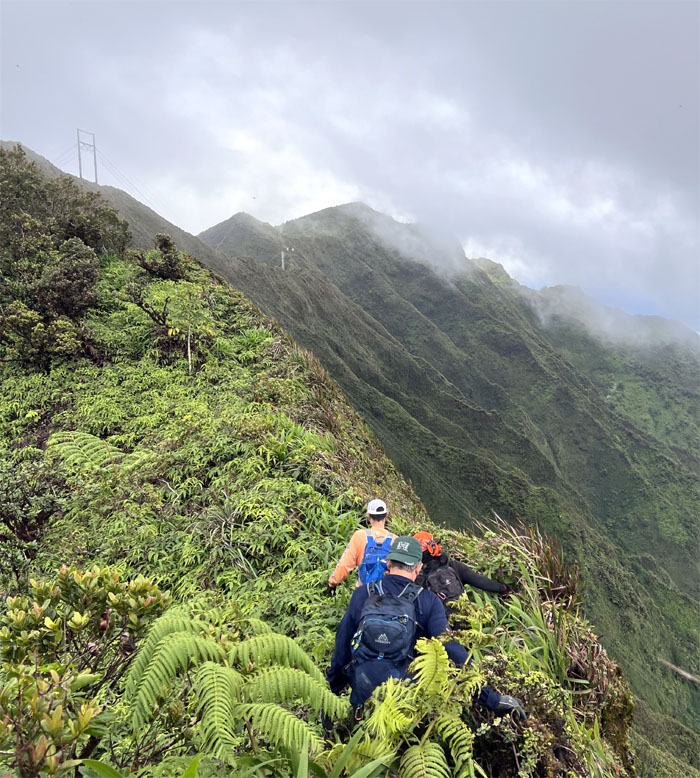
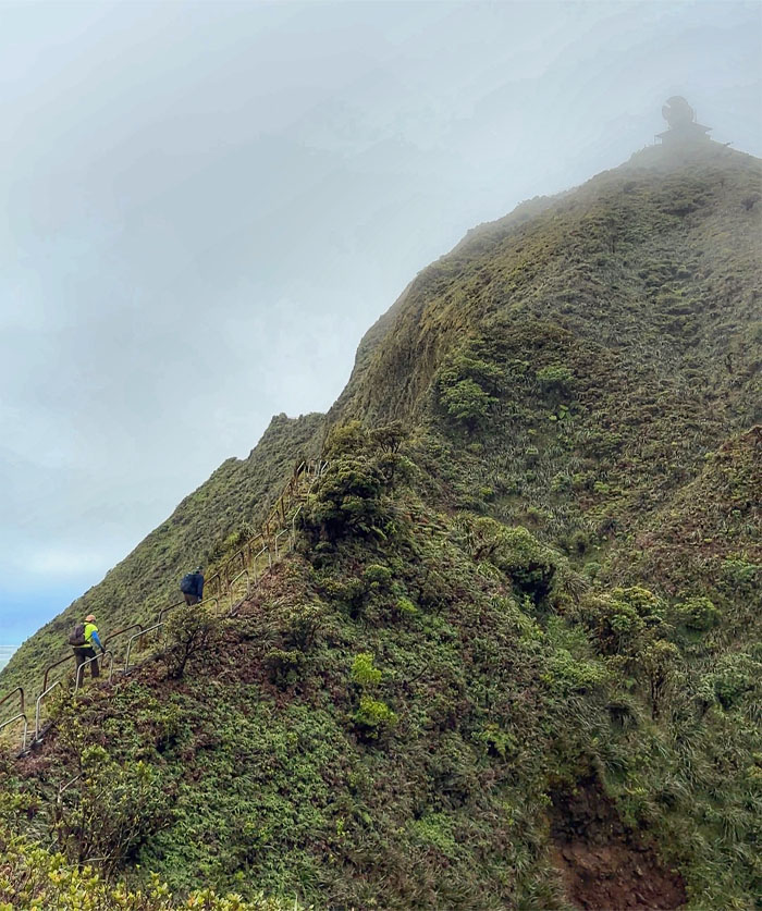
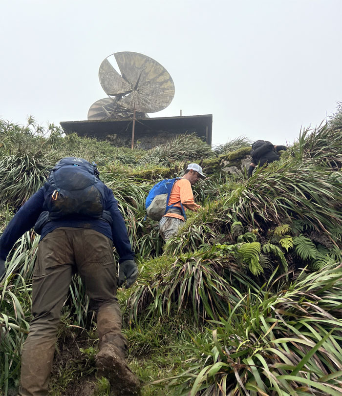
Traversing between summits, as we left Kahuauli (Bowman) and headed towards the summits of Kaho’omoe ‘ihikapulani (Tripler) and Pu’u Keahi a Kahoe (Stairway).
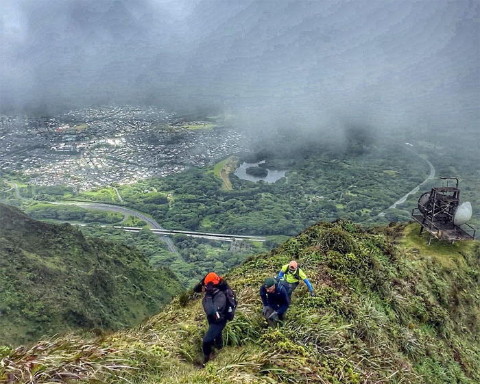
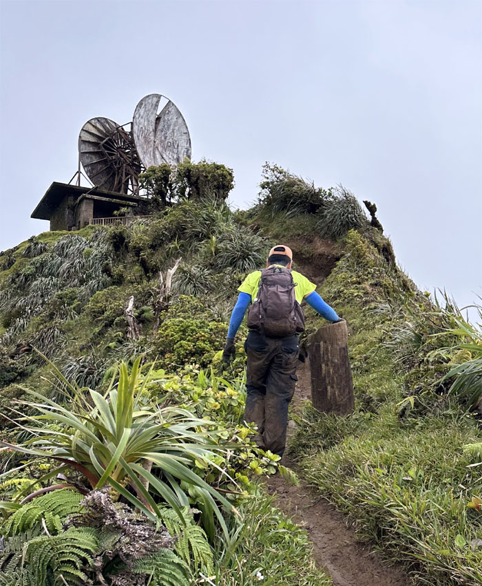
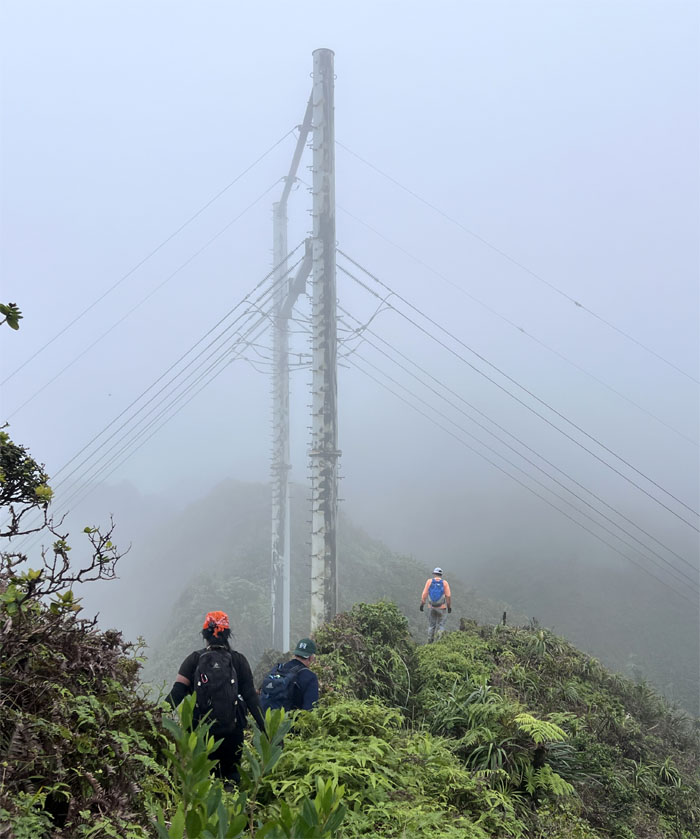
Climbing up the hill as we left the defunct relay station behind us.
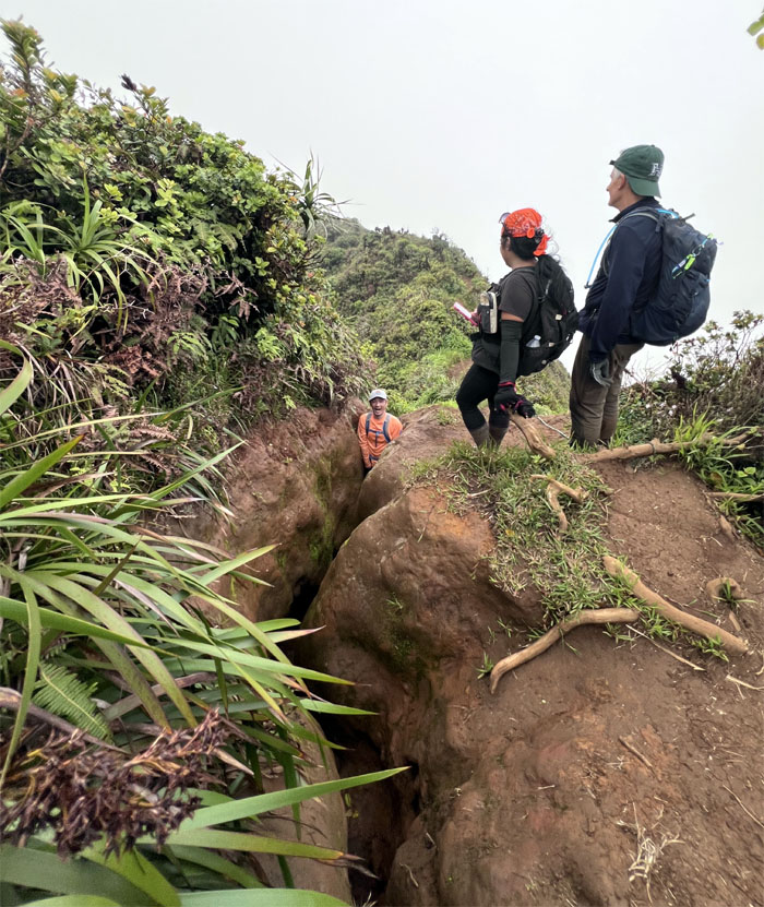
Are we on Moanalua Middle Ridge? The ruts that serve as the paths of least resistance for water erosion and foot travel have taken its toll on the landscape.
This is where I asked AI to step in and construct what a hike past this point would look like given the current conditions surrounding this controversial and iconic symbol.
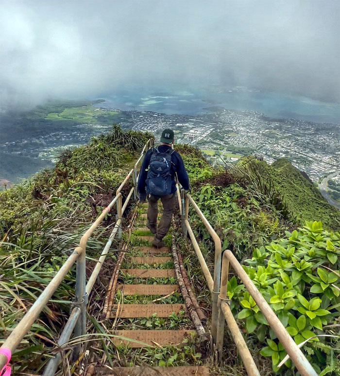
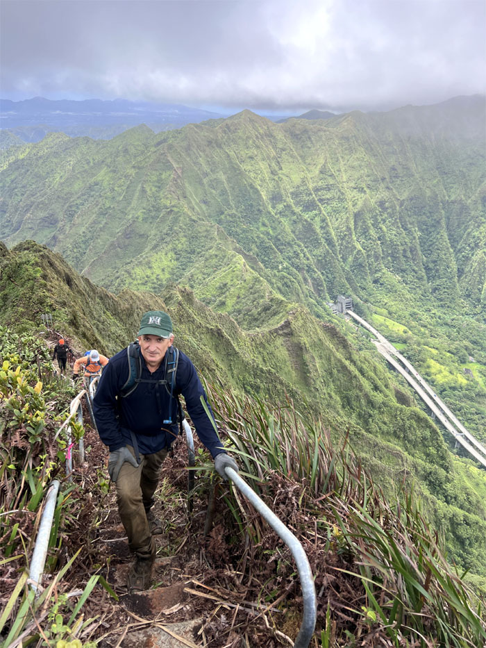
Roger had never stepped foot before on Haiku Stairs. Thanks to AI, he can now say he was on part of the 3,922 steps that make up the storied stairway.
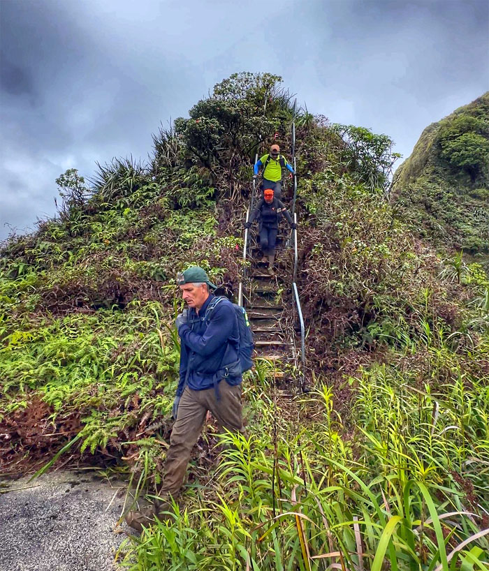
AI showing us going down to the first platform behind the CCL building.
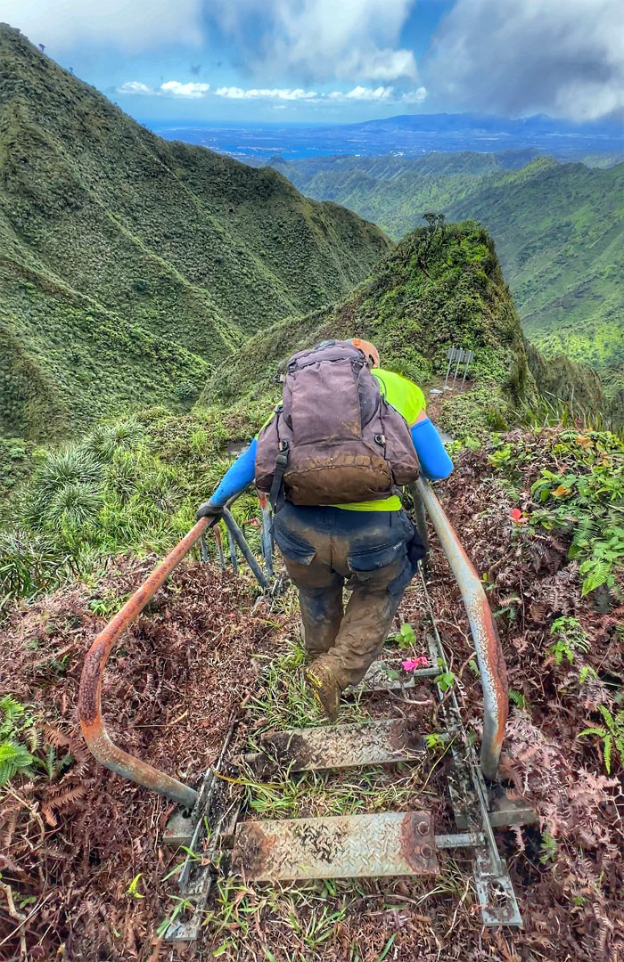
This is what one of the detached modules looks like according to AI.
AI rendering of our group on the last platform before the trail descends down into Moanalua Saddle.
I think there was a glitch in the AI as it showed me on the grassy slope instead of on the stairs. Still got some bugs to work out.
Roger can thank AI for showing him on both sides of the stairs.
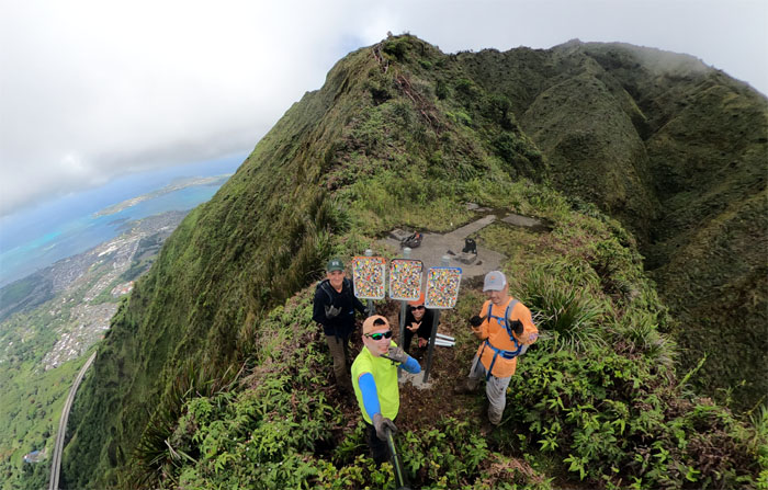
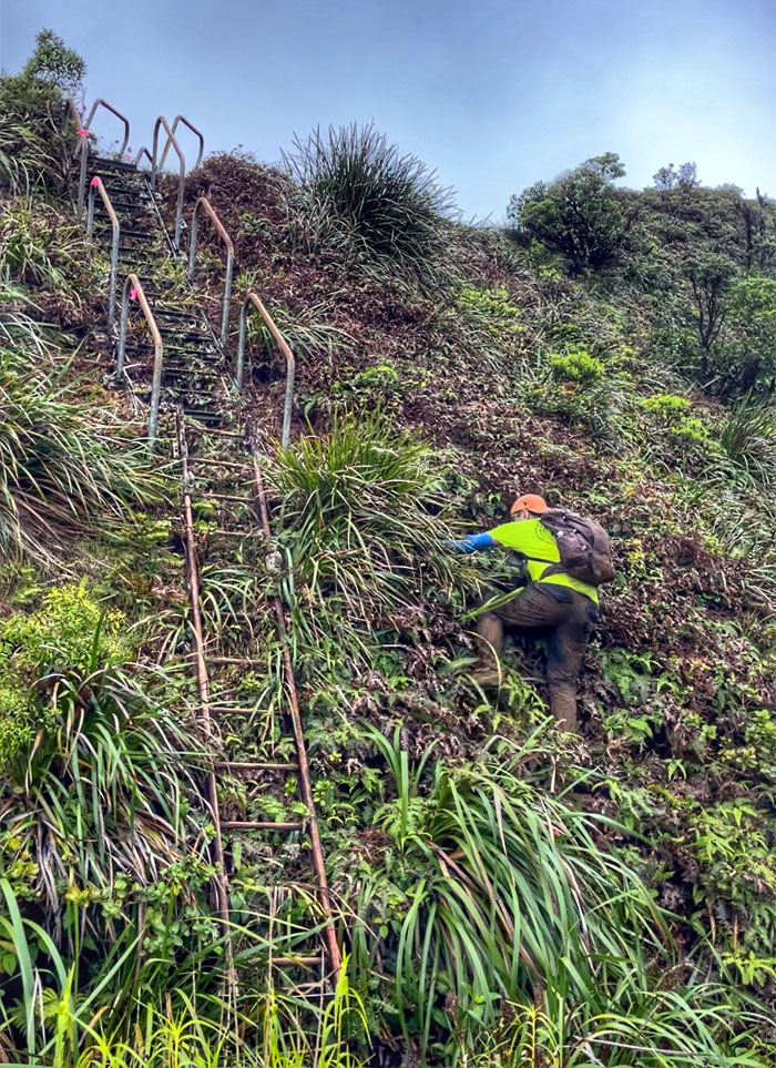
This is what AI thinks Stairway to Heaven looks like. Close but no cigar.
AI will have to generate new deepfake photos when the stairs are finally relegated to the dustbin of history.
I asked for an AI rendering of heaven at the top. Nothing is perfect.
Retracing our steps, as we hiked back to the summit of Bowman. Not going to lie, that was more exhausting than we had originally thought it was going to be.
We left the KSRT as we took the trail off the summit.
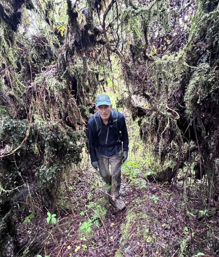
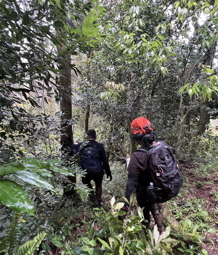
Passing through the extremely wet environment that dominated this particular patch in the mountains.
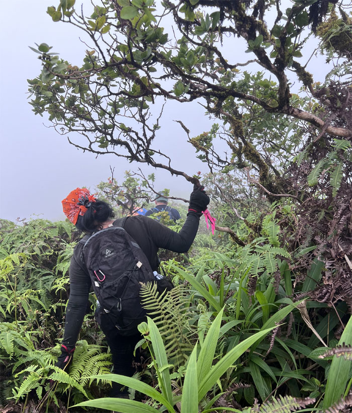
Finding our way as it was extremely overgrown at the top. Ribbons and faint paths helped us to get back on the trail.
Switch backing our way down the side of the mountain with ropes that have probably been there as long as the mountain itself. Slight exaggeration.
Can you see the face for the mountain?
Going down the spur ridge pioneered by the hardy folks at HTMC.
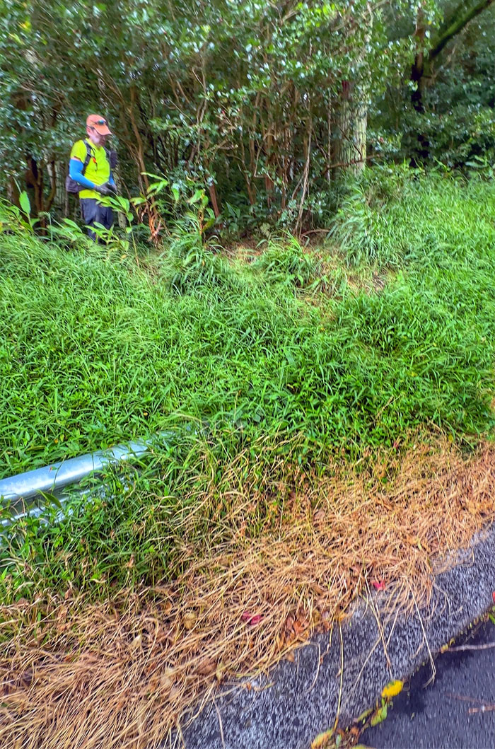
We followed the trail of bottles and sound of motor vehicles to find our way out of the tropical valley that borders northern Honolulu.
Broke out of the valley and took a rest on the highway that was first built in 1954 and fully open to the public in 1968.
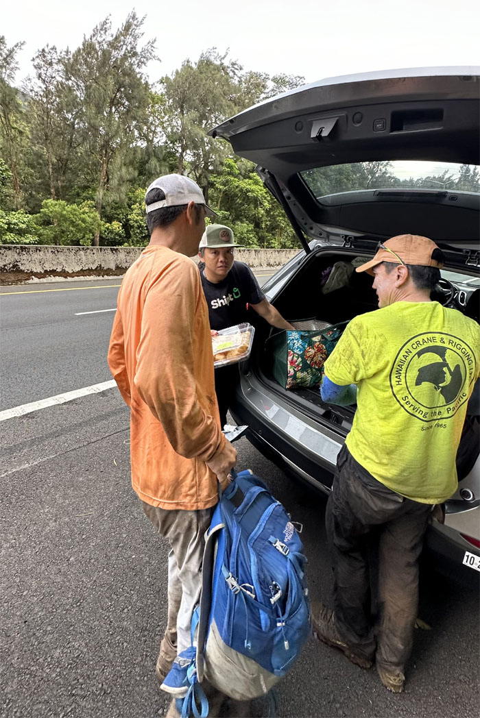
Thanks to Agnes for picking us up on the side of the highway with drinks and snacks.
“You guys wasn’t the one that posted the picture?” “This morning?” “You guys went post a pic of the popo and stuff like that? Thats you guys eh?” “I get the picture right here.” It’s always nice to be recognized in public. Post hike meal at Alley Restaurant where the food order did not match the food delivery.
Photos taken by Agnes Bryant, Akira Suzuki, Roger Schiffman, Tessa Bugay, and yours truly. Not necessarily in order. Congrats to Roger for making his first saddle look like a piece of cake and the rest of the group for the always fun company.
Note: I have been made aware that some hikers have been using my blog as a hiking guide and getting lost on the trails. Please note that this blog was made to document the hike for the crew(s) that did it. That is why some of my comments will seem to have no relevance or meaning to anybody outside of the crew(s) that hiked that trail. My blog was never meant as a hiking guide, so please do not treat it as such. If you find inspiration and entertainment from these hikes, that is more than enough. If you plan on replicating these hikes, do so in the knowledge that you should do your own research accordingly as trail conditions, access, legalities and so forth are constantly in flux. What was current today is most likely yesterdays news. Please be prepared to accept any risks and responsibilities on your own as you should know your own limitations, experience and abilities before you even set foot on a trail, as even the “simplest” or “easiest” of trails can present potential pitfalls for even the most “experienced” hikers. One should also always let somebody know of your hiking plans in case something doesn’t go as planned, better safe than sorry.


{ 0 comments… add one now }