Back on the mountains again. The Ko’olau Mountains. The weather seemed to be cooperating this time around; so I met Chris, Jose and Ryan at the Manana trailhead tucked deep in the Pacific Palisades neighborhood.
We had company at the gate. Hunters with dogs. We passed after exchanging pleasantries and assurances that the dogs were friendly.
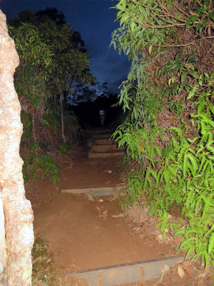
Slats doubling as steps which help to retard erosion.
We followed the trail to the left which leads to the Ko’olau Summit. Keeping to the right will descend down into “Cardiac Hill” and Waimano Falls.
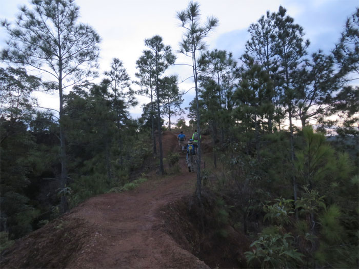
Wide open dirt trail, enjoy it while it lasts.
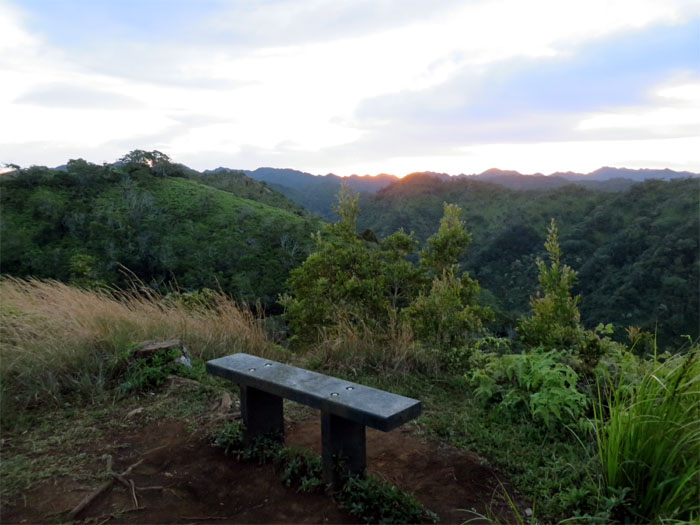
Hmmm, it would be a tight fit for four.
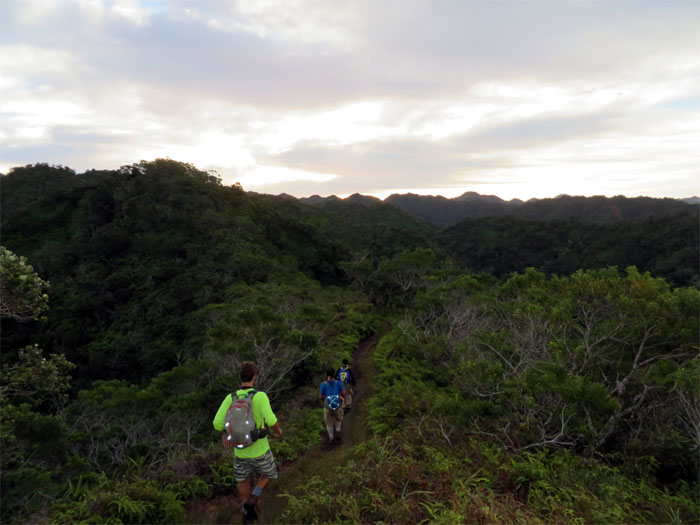
Leaving the last signs of civilization behind us.
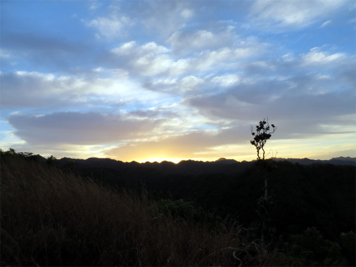
Sunrise breaking over the Ko’olau mountains.
Manana trail is known for its seemingly endless assorted sizes of hills that goes up and down.
The trail starts off through thickets of invasive Eucalyptus and guava trees.
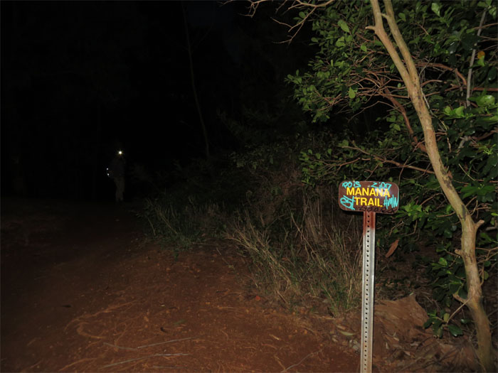
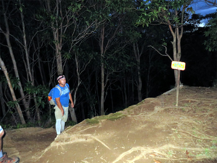
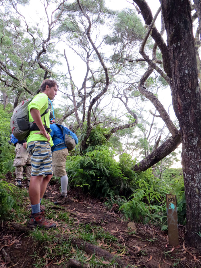
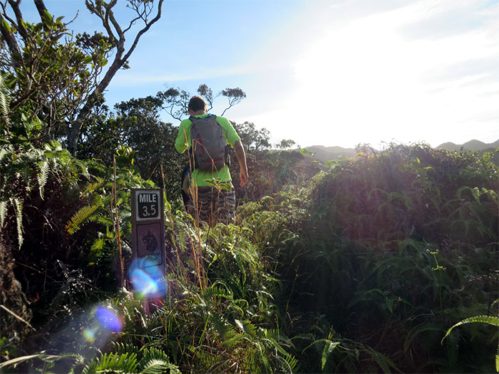
Ryan’s GPS Garmin and the sign marker had to agree to disagree. We figured the extra .4 miles was because he started tracking from the road and the mileage actually started further into the trail.
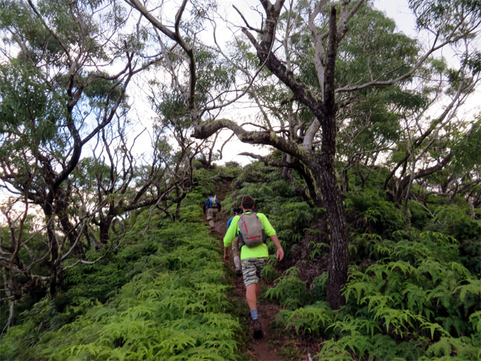
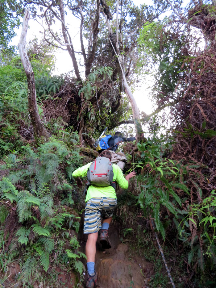
Chris and Ryan climbing up a somewhat steep section. Those uluhe ferns are everywhere!
Taking a quick break at one of the few flat clearings on the trail.
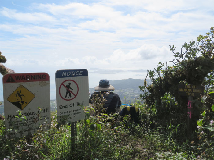
Manana trail is roughly six miles long to the summit.
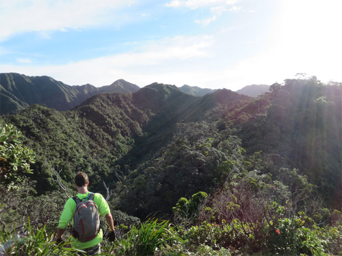
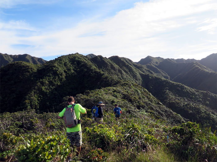
Pushing deeper into the native forest as we left most of the invasive flora behind. For the life of me, I still can’t identify most of them. Need to work on that.
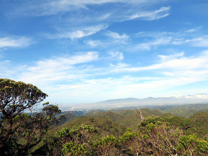
Looking towards the Waianae Mountain Range, which includes the highest mountain on the island – Mount Ka’ala – normally capped or swathed in clouds. Today was no exception.
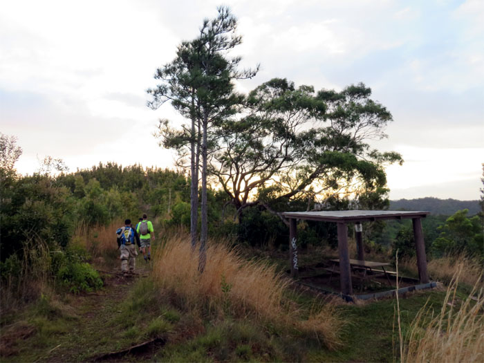
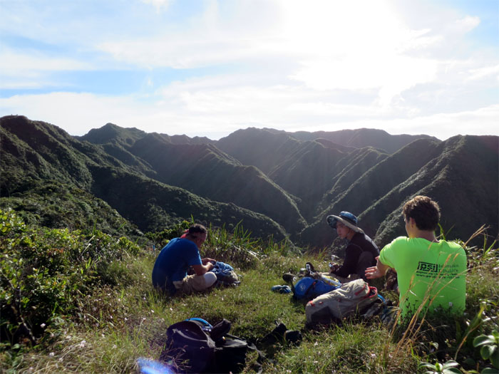
Enjoying another break on the last flat clearing before the summit. These guys were setting a good pace. Left to my own devices, I would still be down at the picnic shed chugging down my Gatorade.
Time to finish off this trail.
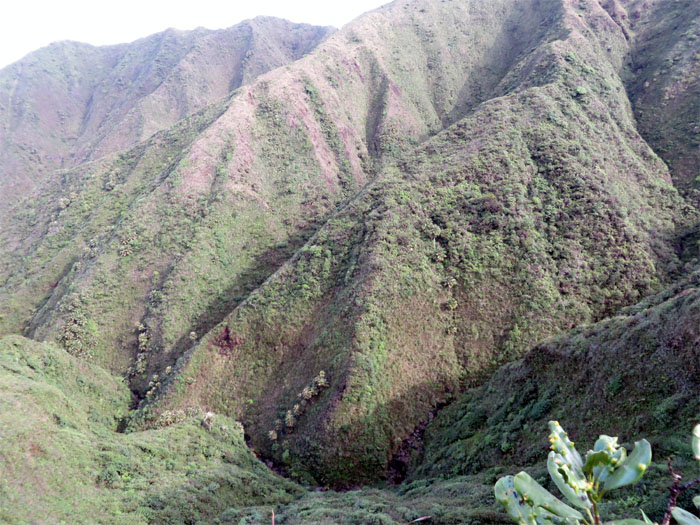
Looking down to our left, we spotted Waiawa stream barely trickling down from the mountains.
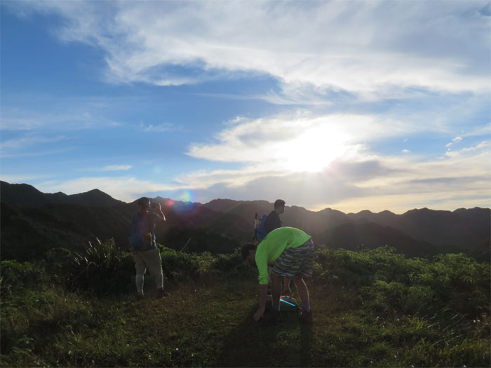
Beautiful blue skies frosted with clouds greeted us at the summit.
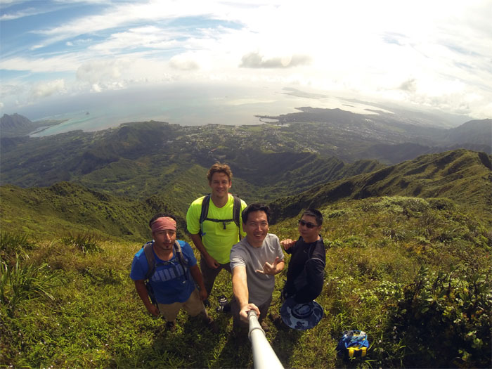
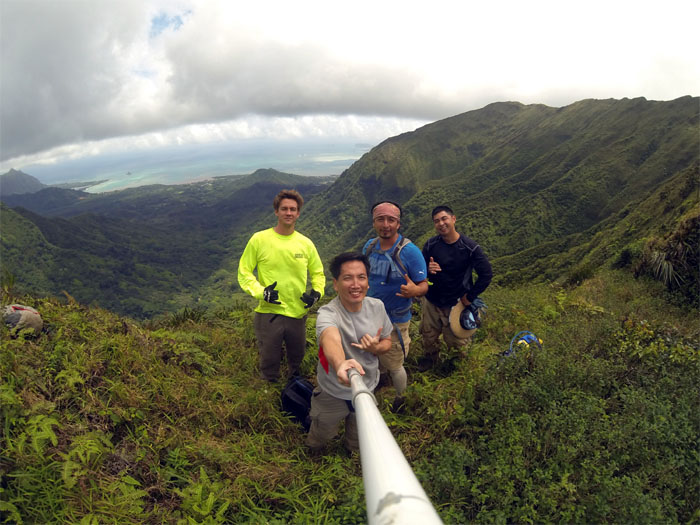
Group photo at the summit overlooking Kaalaea Valley left to right: Jose, Ryan, myself and Chris. Panoramic views from Kualoa to Makapuu were laid out before us.
After digesting the views and snacks, we turned left on the Ko’olau Summit Trail.
Click here for the larger image.
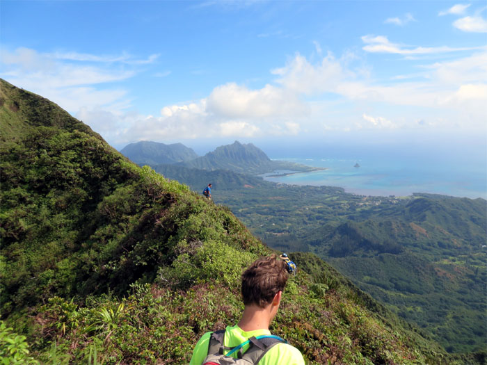
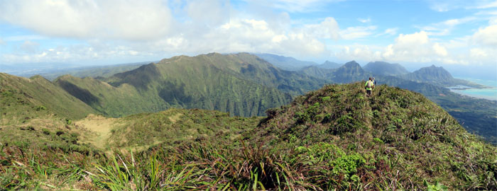
The Ko’olau spine soon veered to the left, passing a grassy meadow with great views of Waiahole Valley, and then resumed a northerly direction with Leeward views of the island.
The up and down Manana trail was a primer for this section of the Ko’olaus.
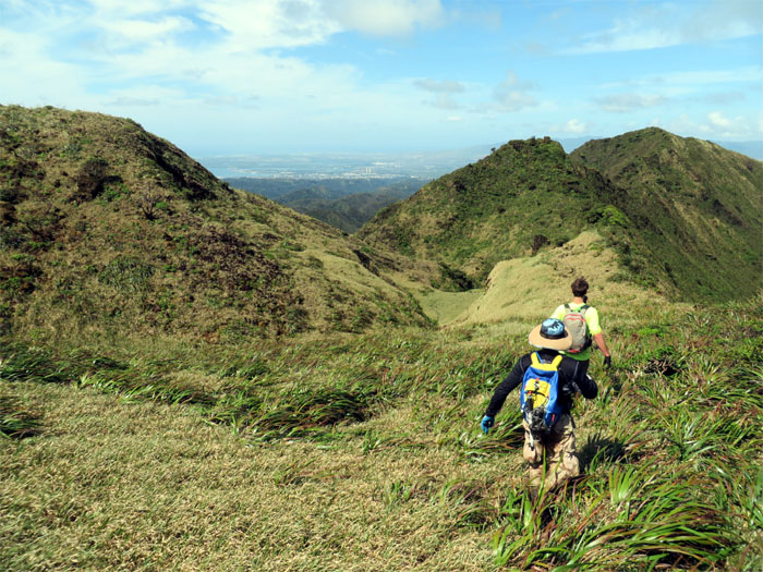
We lost hundreds of feet in elevation as we made our way towards the lowest point in this section of the Ko’olaus.
We slid and scooted our way down from a higher ridge to a lower ridge to stay on trail.
Lunchtime at the 2,150′ dip in the Ko’olaus.
Chris stepping over a tree on the trail. Watch the drop on your right!
What goes down the Ko’olaus, must come back up the Ko’oalus.
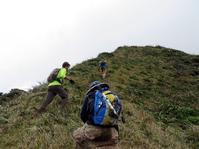
Shaking off the “Hawaiian Paralysis” by climbing up some steep hills. Also gets the heart racing, lungs busting and calories burning.
The sunshine couldn’t last all day, especially on top of the Ko’olaus.
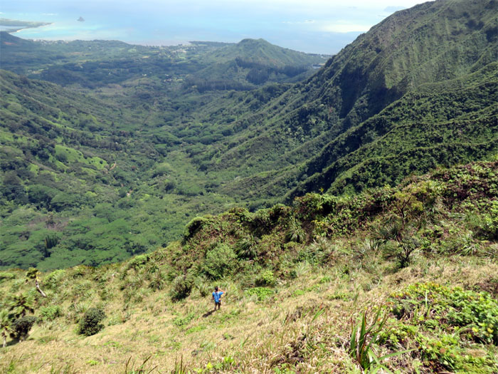
We spotted the flat hill and ridge descending down into Waiahole Valley. The end was in sight!
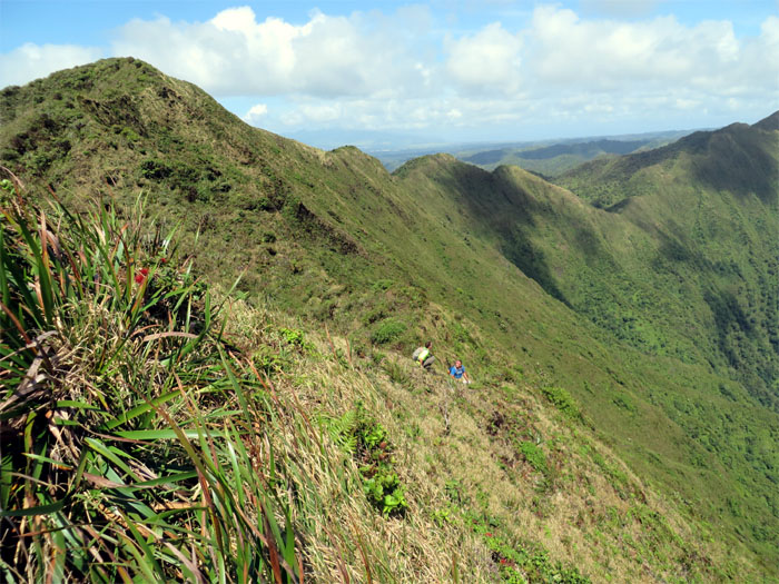
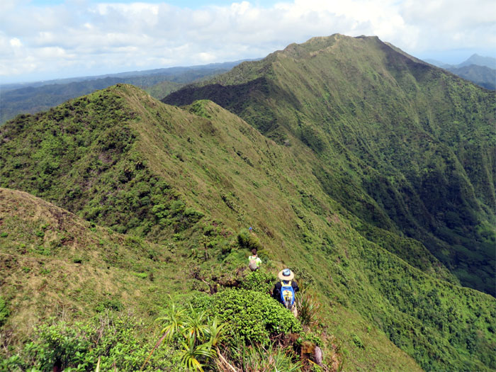
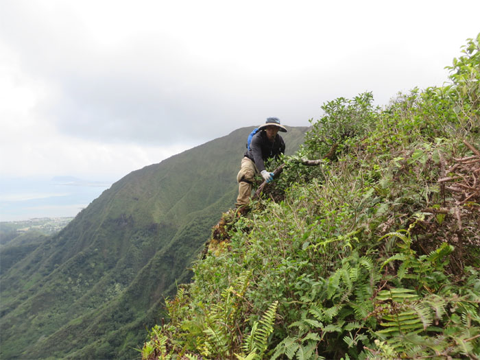
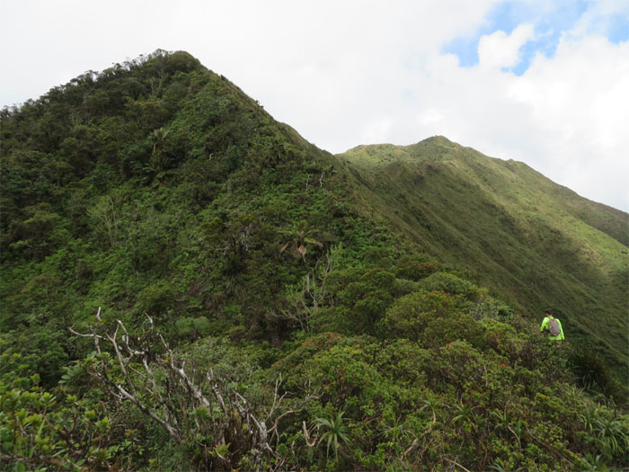
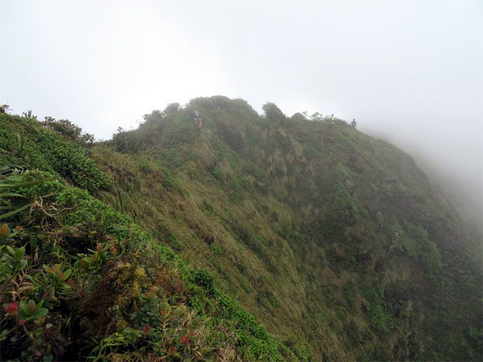
Typical KST trail – narrow, overgrown and with steep drop offs plunging thousands of feet down. Just another day at the office.
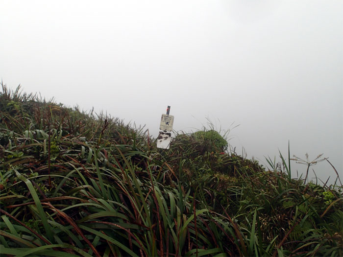
The sign that we missed on one of our last hikes that took us on an unexpected detour down the Kipapa trail.
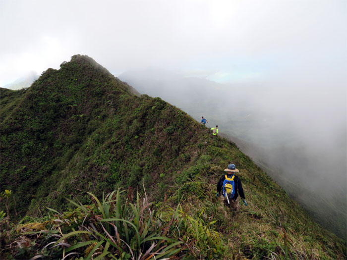
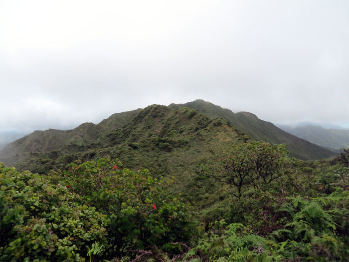
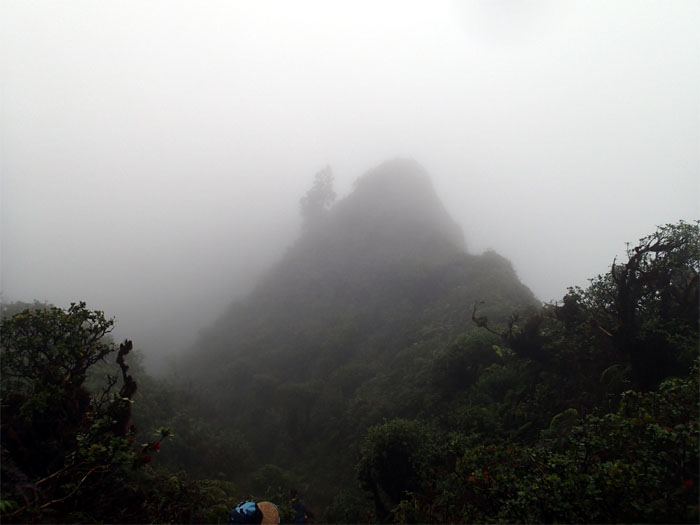
Clouds blanketed the mountains, making navigation somewhat of a chore. Hiking tip: When traveling north, stay to the right or the windward side. That usually works.
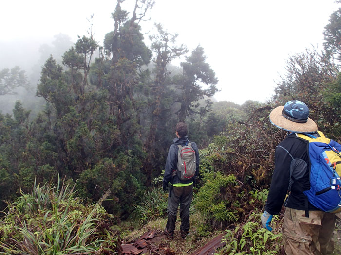
Ryan and Chris checking out the Sugi Pine Trees, native to Japan, while standing on the remnants of the old Kipapa Army Cabin.
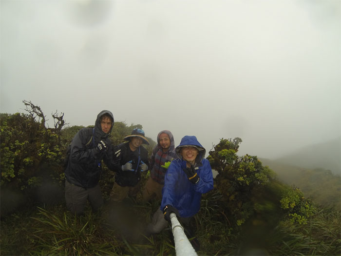
What would a windward ridge be without rain? Exactly.
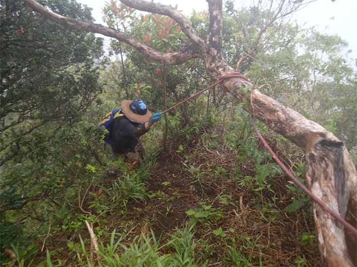
Going down Waiahole ridge is going with gravity. There is no up and down. Just down. Straight down in some places. Ropes and rain made it manageable.
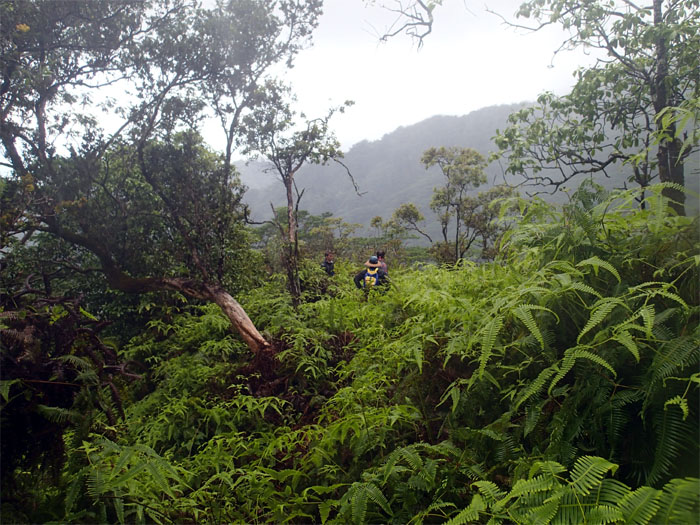
What’s even better than wading through thick patches of Uluhe ferns? Doing it in the rain!
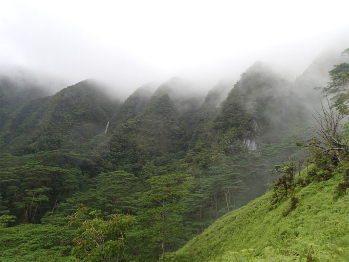
Looking to our right, waterfalls were flowing. Waterfalls are like rainbows after a heavy rain.
Leaving behind the tangled mess of uluhe ferns. And then the rain stopped.
Ryan discovered a shaft that ran perpendicular to the tunnel. One word – tubing.
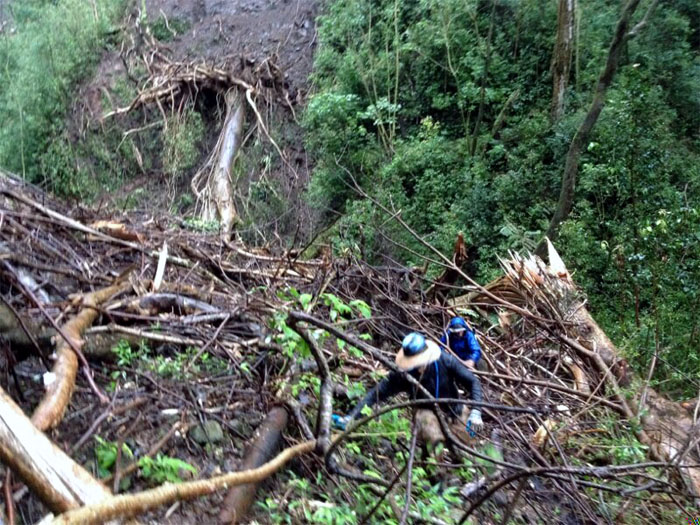
We came across a huge landslide that had dumped massive trees and rocks onto the trail. And it started to rain again. Photo by Jose Luis Delaki.
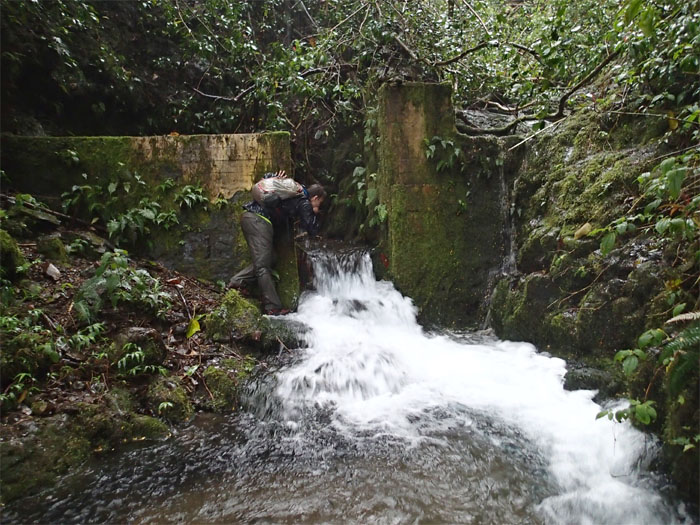
Ryan sampling for lepto.
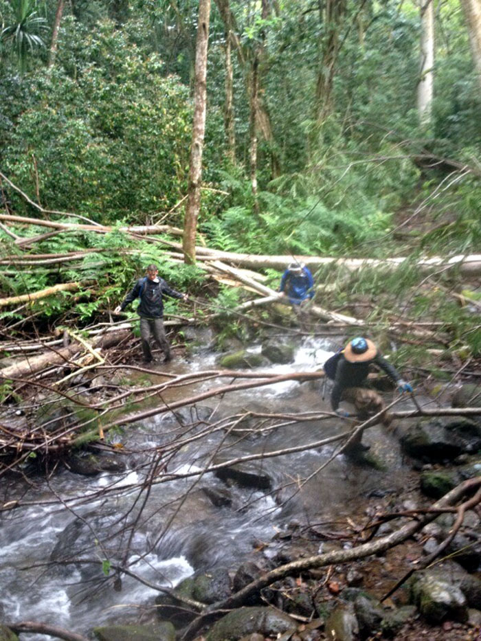
The last stream crossing. Photo by Jose Luis Delaki.
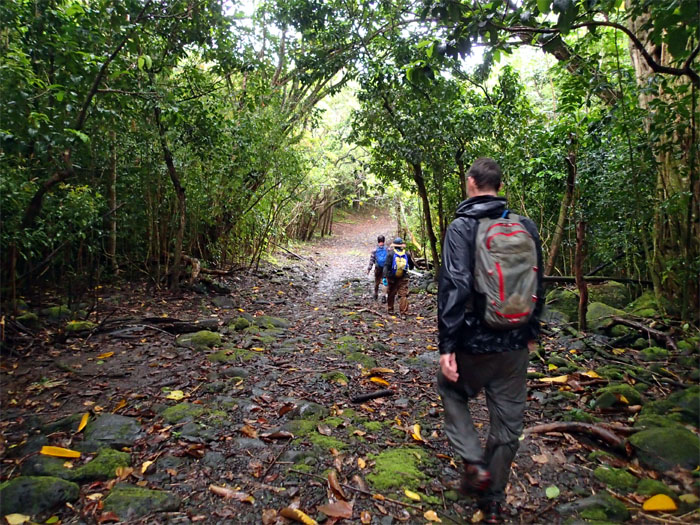
Jose and Chris found their second wind and jogged down this jeep road. Ryan and I just walked it back.
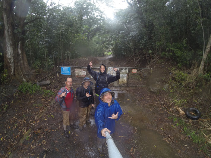
We finished the hike with enough daylight to spare. Thanks to Jasmin for picking up four muddy, smelly and soaking wet hikers.
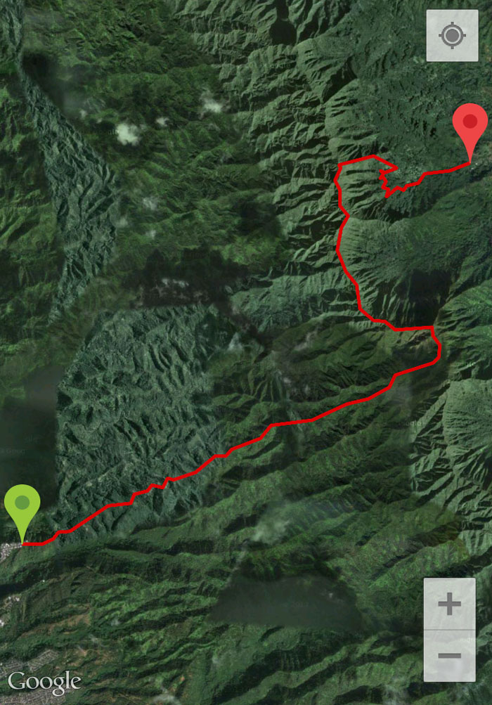
The 10.25 mile hike, 13 miles if you go with Ryan’s Garmin, started off sunny and ended up raining on our parade. Still a great grinder with a great crew. We ended the day with dinner at Koolau Drive Inn.



{ 0 comments… add one now }