
Met up with Aida, Akira, Chico, Roger, and Scott who kept me company in the mountains as I continued to connect the dots ad nauseam.
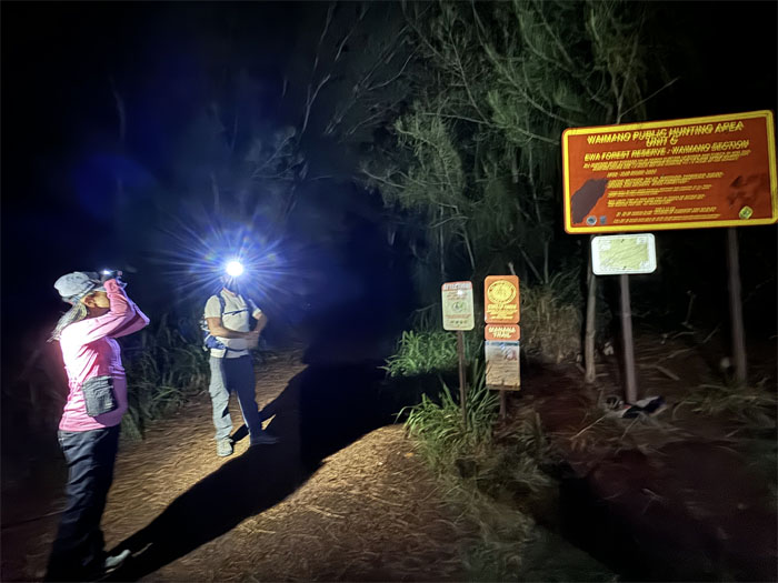
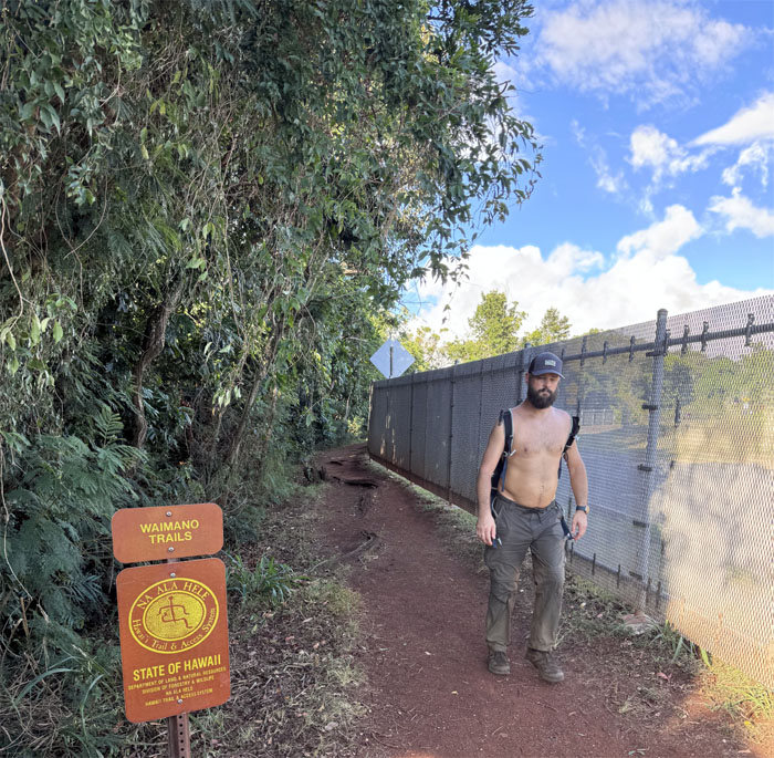
Trailhead
We all showed up before the crying cats to start our early morning hike. Hey, where’s Chico?
Manana Trail
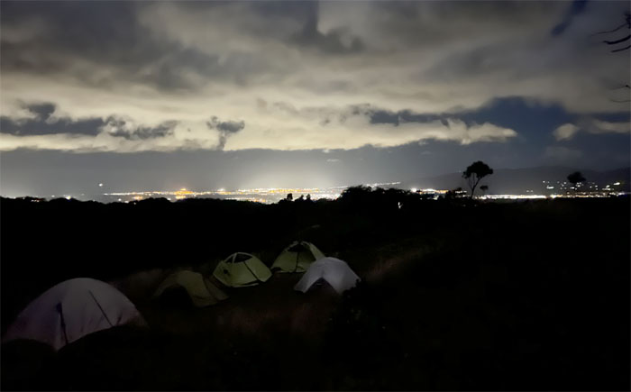
Passing multiple tents camped out by the picnic shelter.
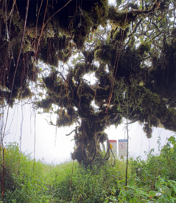
Manana Trail
Akira going underneath the Manana Arch.
Manana Trail
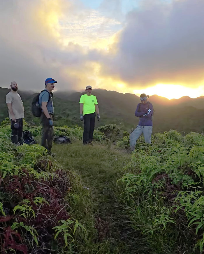
Caught the breaking sunrise as we crested a false peak.
Manana Trail
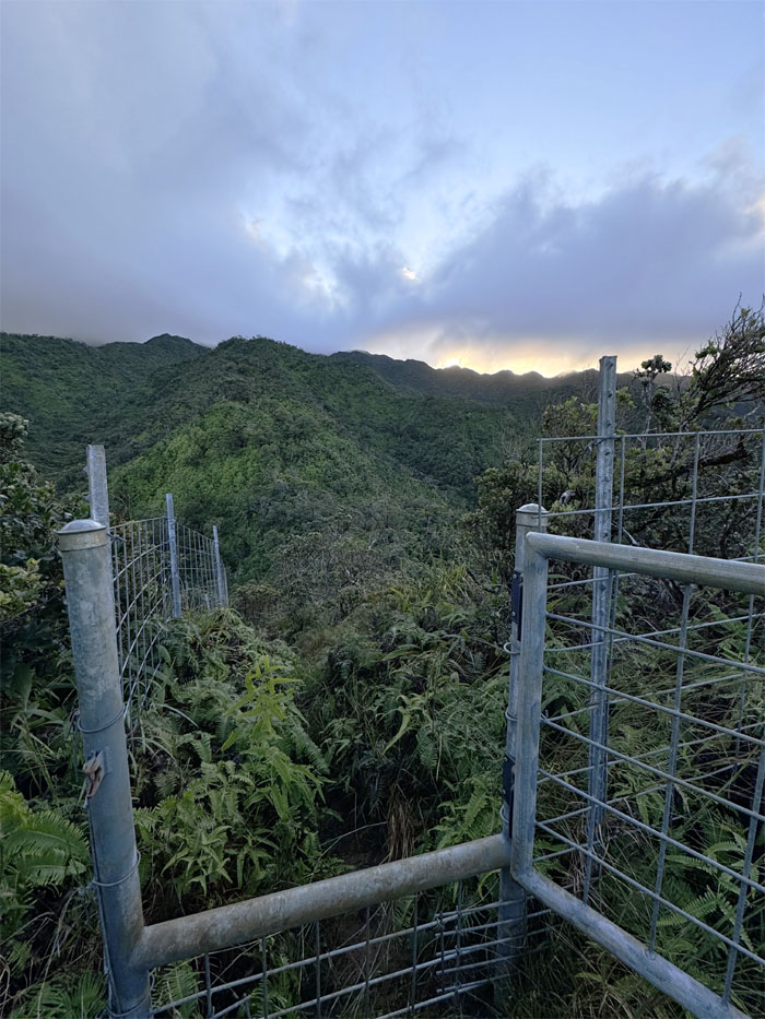
Going through the gate that marked 3.5 miles covered on the trail. Only two more miles left!
Manana Trail
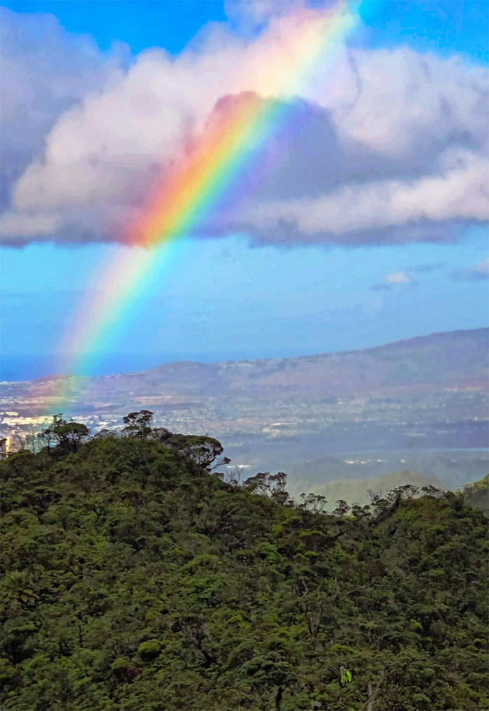
We soon noticed a green-yellow shirted figure in the distance steadily catching up to us under a rainbow. Turned out it was none other than Chico the man! He had forgotten his shoes on the way to the trail and had to turn around to go back home to get them. He erased a one hour deficit to catch up with us. Talk about somebody that was highly motivated.
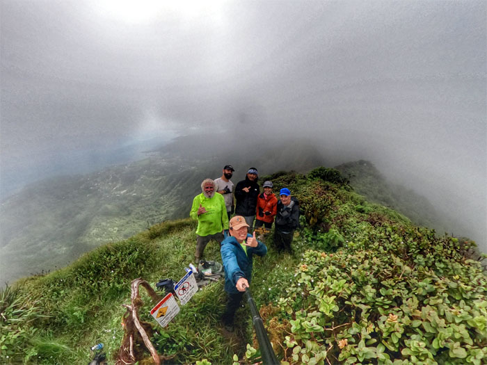
Manana Summit
Group photo at the 2,660′ cloud screened summit.
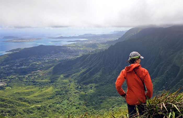
Ko’olau Summit Ridge Trail (KSRT)
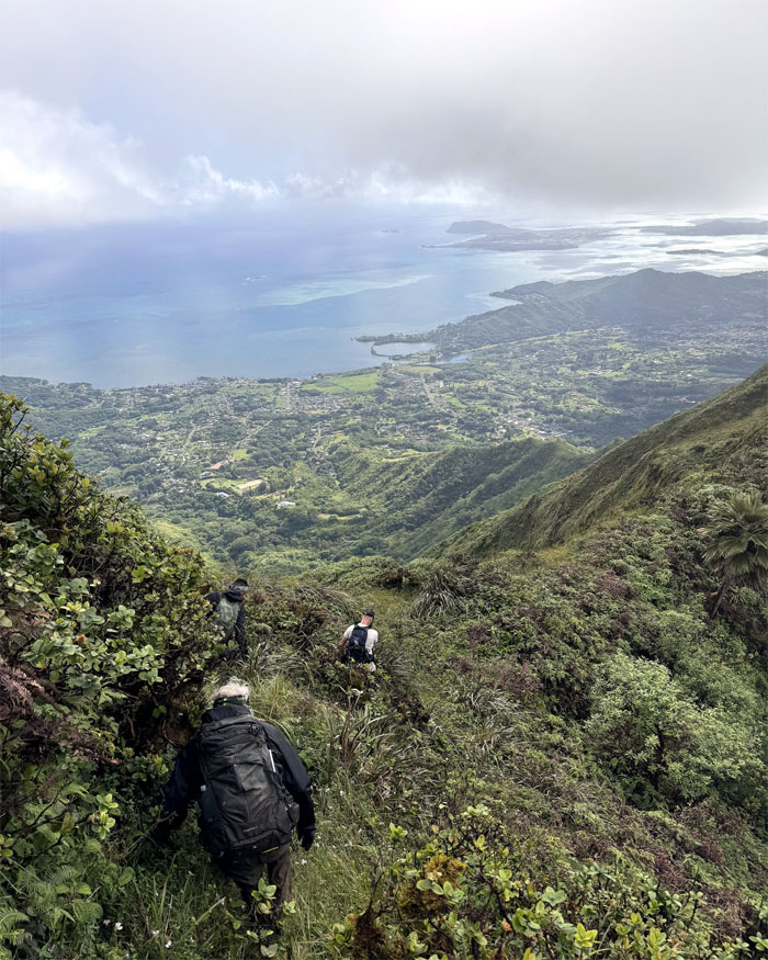
Descending off the massive knob as we made our way down the ridge line where sweeping Windward views opened up.
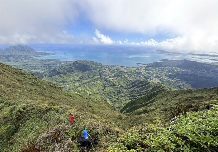
KSRT
The photographer being photographed who in turn was being photographed. Say that real quick three times in a row.
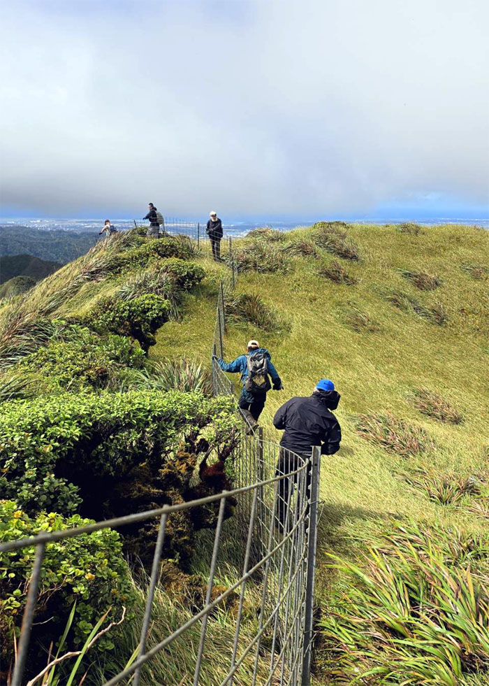
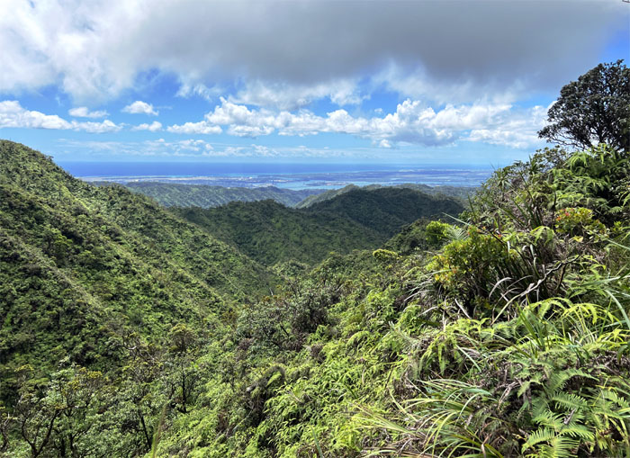
Eleao Meadow
Following the fence line as we traversed across one of many grassy fields that are scattered throughout the mountains.

KSRT
Adventure awaits. Just have to open the gate.
KSRT
Why walk when you can slide down? Just missing the cardboard boxes.
KSRT
Somebody take my picture.
KSRT
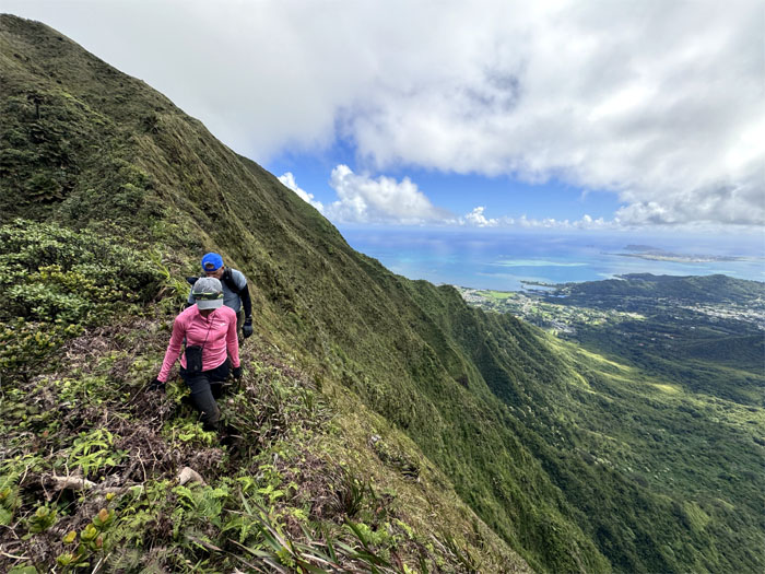
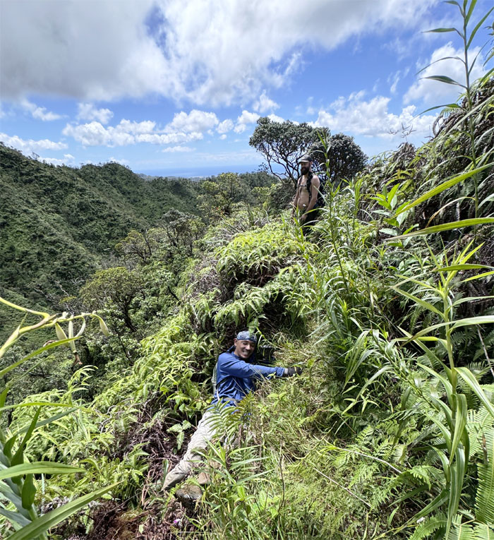
Aida and Roger making their way on the narrow strip of real estate masked by heavy vegetation and false holes.
KSRT
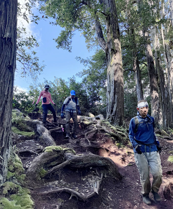
Making our way on the undulating ridge line. Up. Down. Up. Down.
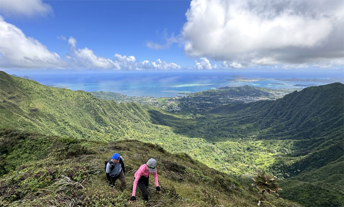
KSRT
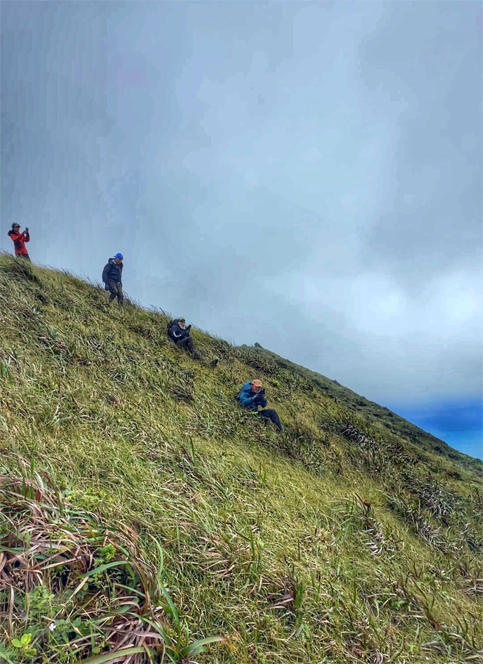
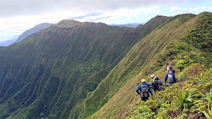
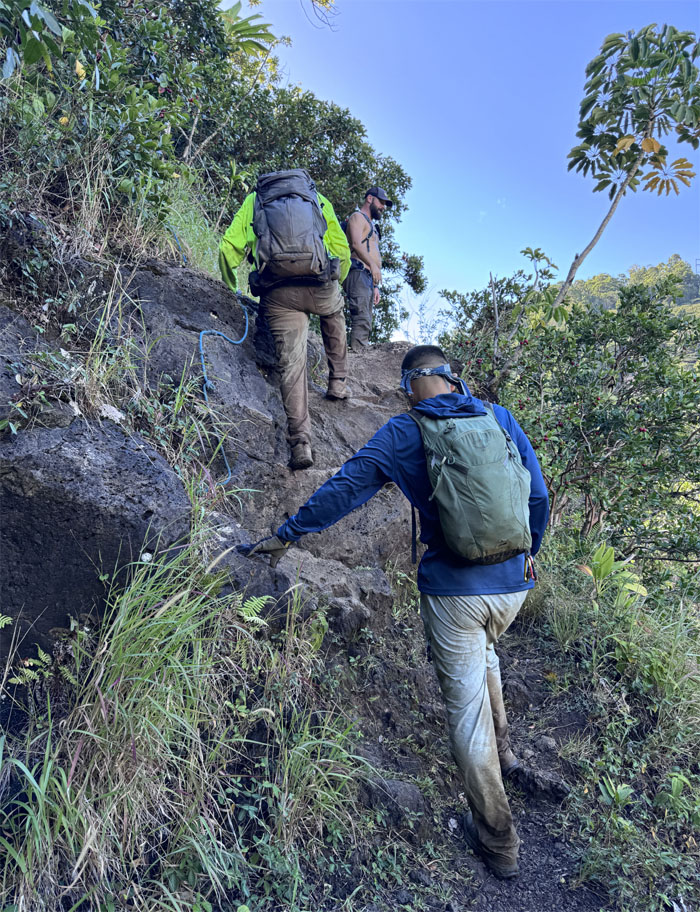
Scrambling up the last hill. Promise?
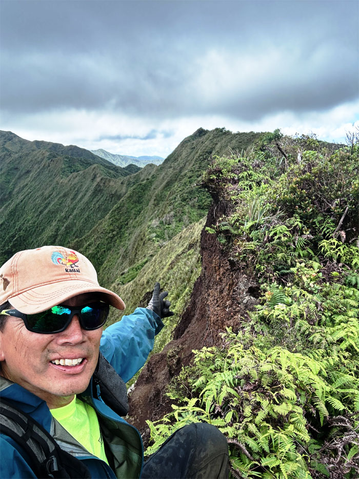
KSRT
Pointing out the landslide that is much harder to see coming from our direction.

Waimano Sumit
Group photo at the saddle summit at 2,160′ elevation with sweeping views of Waihe’e Valley bordered by Eleao Windward and Kalahaku Teeth.
Waimano Trail
Stepping foot on the best preserved trail built by the Civilian Conservation Corps back in the 1930s per Stuart Ball, noted hiking author.
Waimano Trail
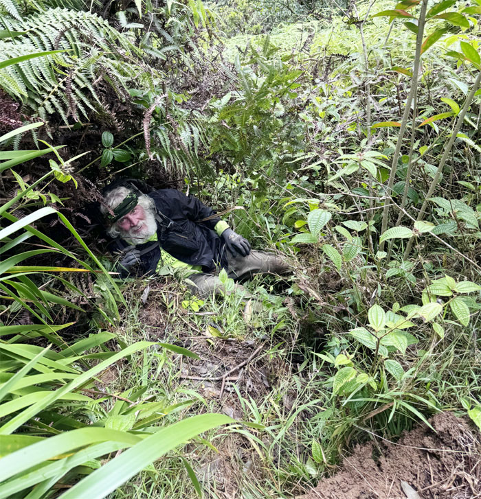
Man down!
Waimano Trail
Another man down! Hope this doesn’t become a habit on this trail.
Waimano Trail
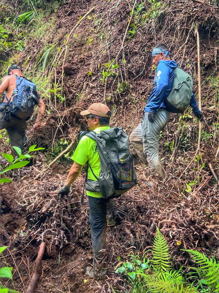
Picking our way through one of many landslides that dotted the trail.

Waimano Trail
Switch backing our way down the trail, where we soon ran across a solitary figure clearing the trail and a family training for the Kalalau Trail.

Waimano Trail
Crossing Waimano Stream where we soon ascended to the cliffs overlooking the stream. It was around this point that Nate Yuen slipped and fell to his death on August 8, 2022. He was a very accomplished and experienced hiker and photographer in the hiking community. I only hiked with him a couple times but he always struck me as friendly and informative. Gone too soon.

Waimano Trail
We were missing somebody again.
Waimano Trail
Descending through a grove of eucalyptus trees where Tessa lay in wait for us.
Waimano Trail
Climbing and contouring over one of many irrigation tunnels on the trail.
All pau
Exiting the trail which seemed to go on forever, where Tessa shuttled us back to our cars. Much mahalos!
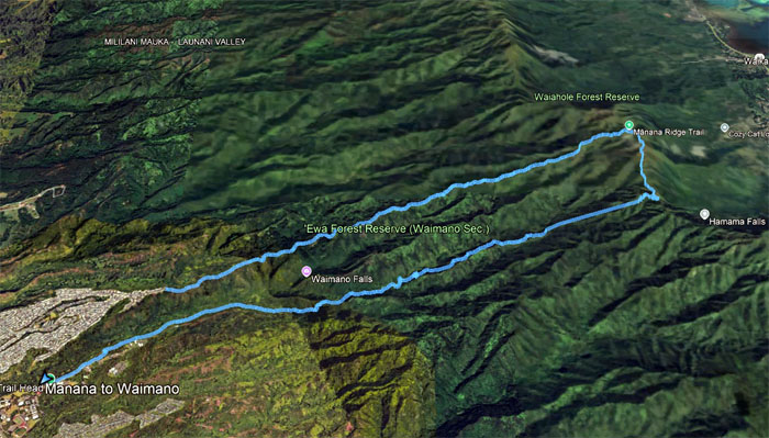
GPS Tracks
Our blink and you’ll miss it KST traversal that was connected by my least two favorite ridges covered 12.6 miles that was made bearable by good company. Post hike meal at Little Joe’s Steakhouse. Happy Hour translated to cheaper prices offset by slow service and less food choices. Somebody needed to take a doggy bag home otherwise they might end up in the dog house.
Photos taken by Aida Gordon, Akira Suzuki, Chico Cantu, Roger Schiffman, Scott Peterson, and yours truly. Not necessarily in order.
Note: I have been made aware that some hikers have been using my blog as a hiking guide and getting lost on the trails. Please note that this blog was made to document the hike for the crew(s) that did it. That is why some of my comments will seem to have no relevance or meaning to anybody outside of the crew(s) that hiked that trail. My blog was never meant as a hiking guide, so please do not treat it as such. If you find inspiration and entertainment from these hikes, that is more than enough. If you plan on replicating these hikes, do so in the knowledge that you should do your own research accordingly as trail conditions, access, legalities and so forth are constantly in flux. What was current today is most likely yesterdays news. Please be prepared to accept any risks and responsibilities on your own as you should know your own limitations, experience and abilities before you even set foot on a trail, as even the “simplest” or “easiest” of trails can present potential pitfalls for even the most “experienced” hikers. One should also always let somebody know of your hiking plans in case something doesn’t go as planned, better safe than sorry.
{ 4 comments… read them below or add one }
Nice writeup as always. Awaits rhymes with gate! Fun times on a long trail.
Aloha Aida,
Thanks and as always the company.
Mahalo
Awesome job you guys! Long azz hike lol
Aloha Tessa,
Thanks, connecting two of my least favorite trails for a short crossover hike. The things we do. lol.
Mahalo