
My tradition of doing a solo hike after climbing the icon of Japan continued with a hike plucked out of social media, as this was billed as a challenging and technical hike.
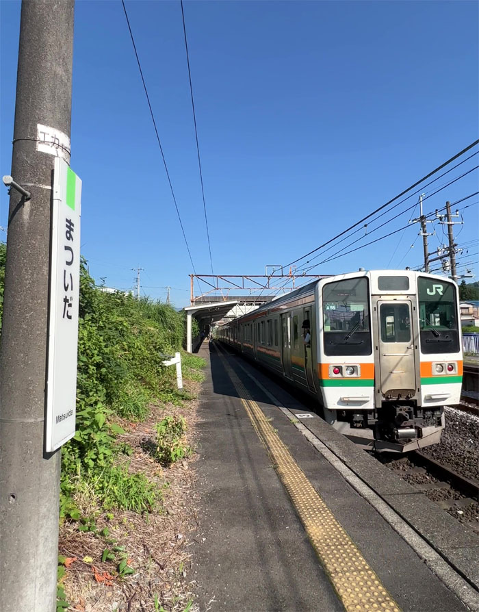
Matsuida Eki
I got off the rural train station of Matsuida in the prefecture of Gunma, which I was told ranks up there with heat in an already overheated country and with no taxis waiting for me, decided to walk where the temperature was parked in the 100’s and the humidity level was equally as high.
Matsuida
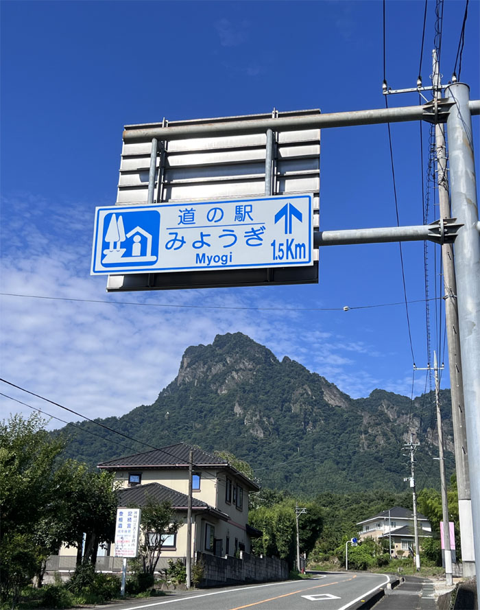
Walking on the rural roads in the blistering heat with little to no shade had me wishing for a taxi or somebody to give me a ride. No such luck.
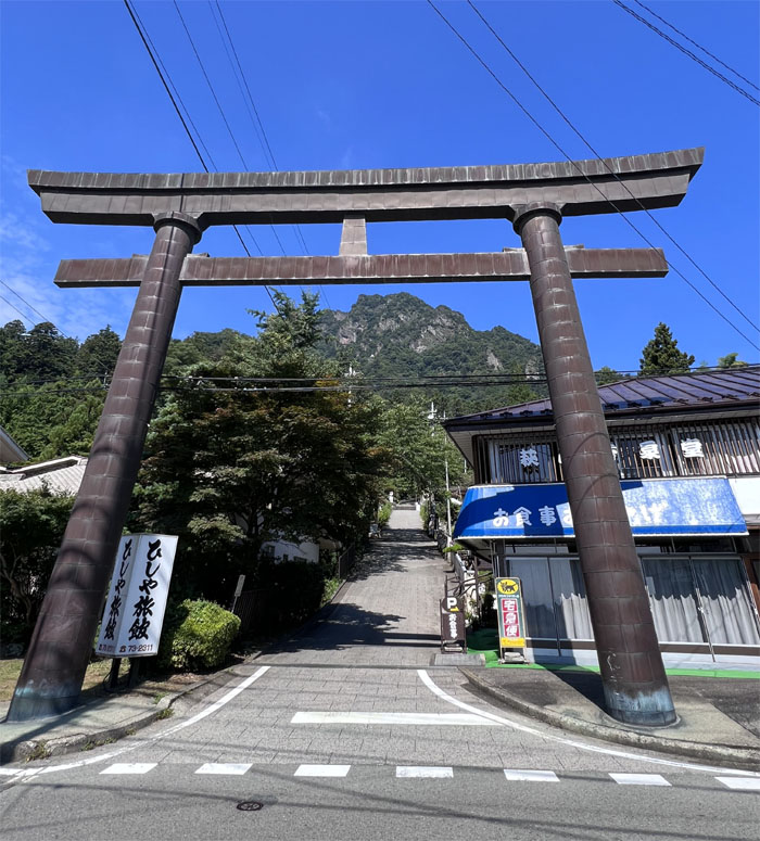
Myogi Shrine
Arrived at the base of the temple grounds with all the shops still shuttered and nobody else in sight.
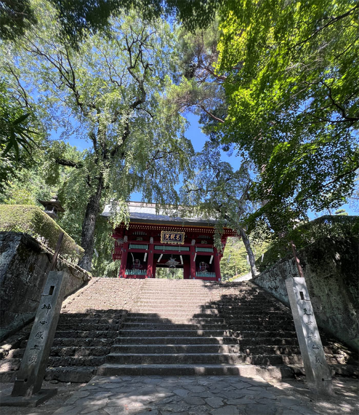
Myogi Shrine
Stepping foot in the shrine that was established in 527.
Myogi Shrine
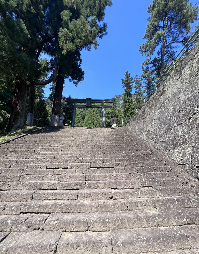
165 steps to the top? Who’s counting.
Myogi Shrine
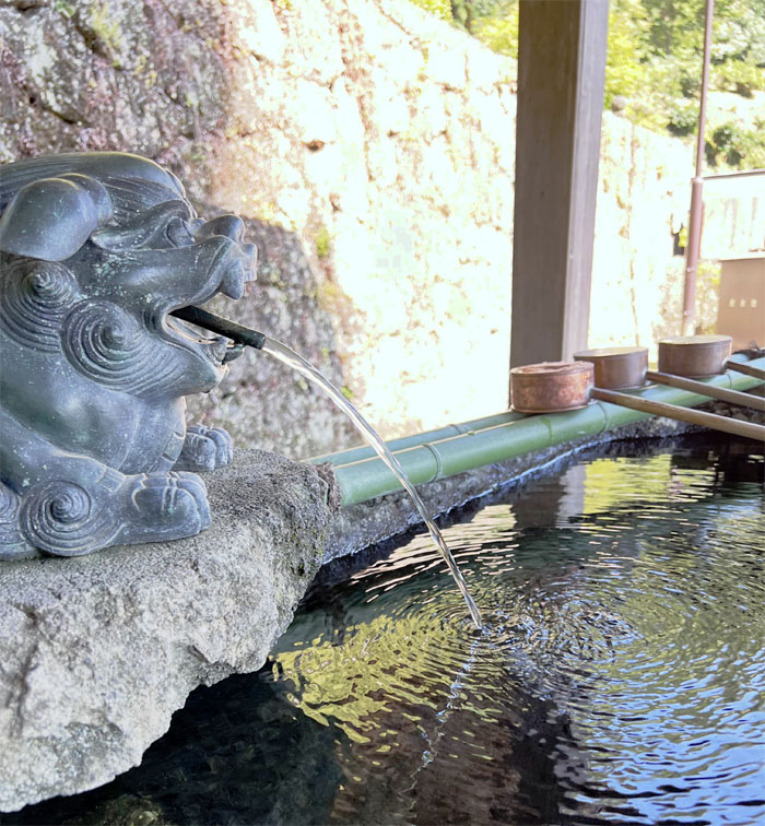
The running water is used for ritual cleaning of the hands and mouth before entering the shrine.
Myogi Shrine
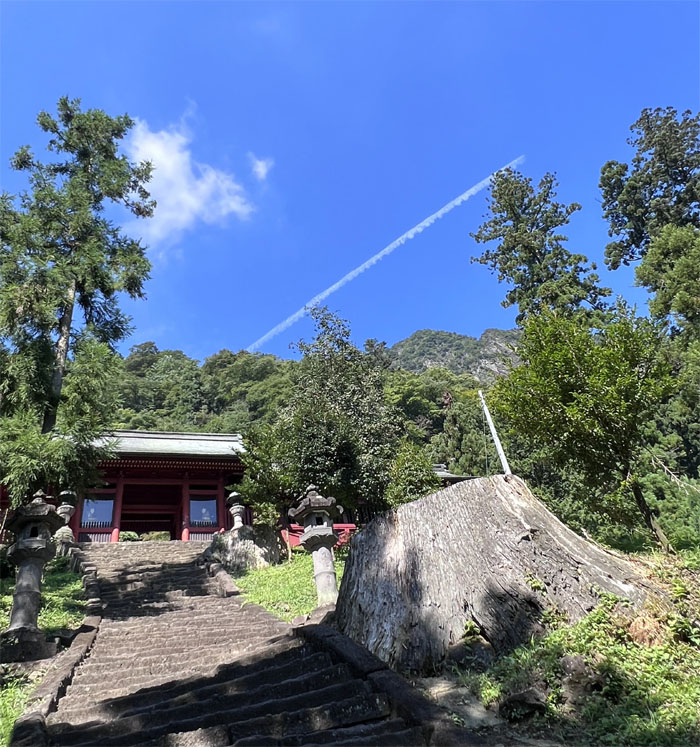
Climbing to the main shrine as I passed stumps of 400 year old cedar trees that used to line the stairs until the roots started to dislodge the stairs and it was cut down as a result.
Myogi Shrine
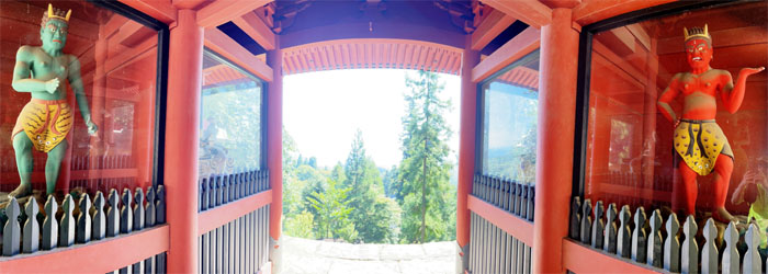
Red and green demons flank the shrine’s entrance.
Myogi Shrine
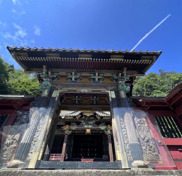
Gazing upon the impressive black lacquered gates of the main shrine. It is said that the same artisans who crafted the Nikko Shrine are the same ones that did this one as well.
Myogi Trail
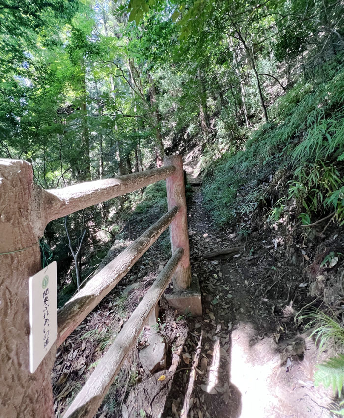
Left the shrine grounds and started on the trail.
Myogi Trail
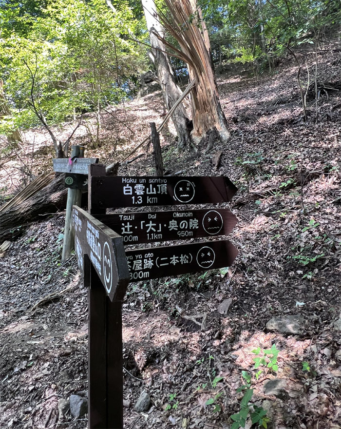
Following the smiley face emojis, must be the easy part of the trail.
Myogi Trail
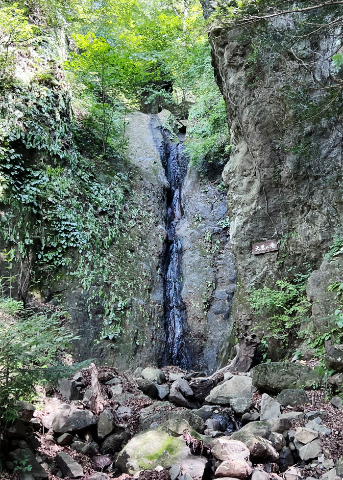
Passing the trickling Daikoku Falls.
Myogi Trail
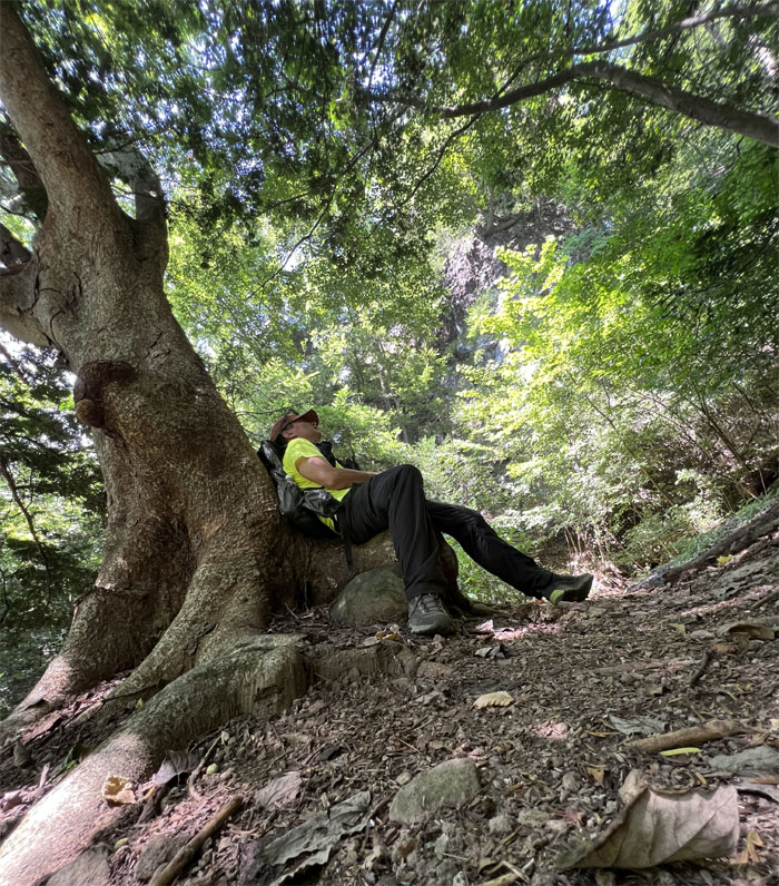
Enjoying one of the few shaded spots on the trail. Boy, was it extremely hot. Atsui!
Myogi Trail
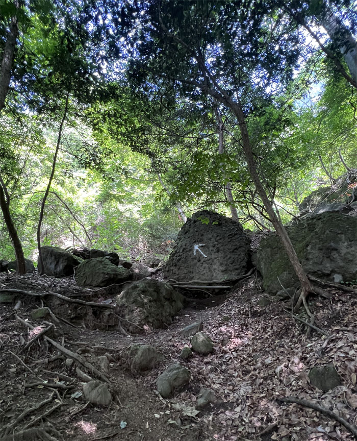
Follow the arrow. Better than pink tags I guess.
Myogi Trail
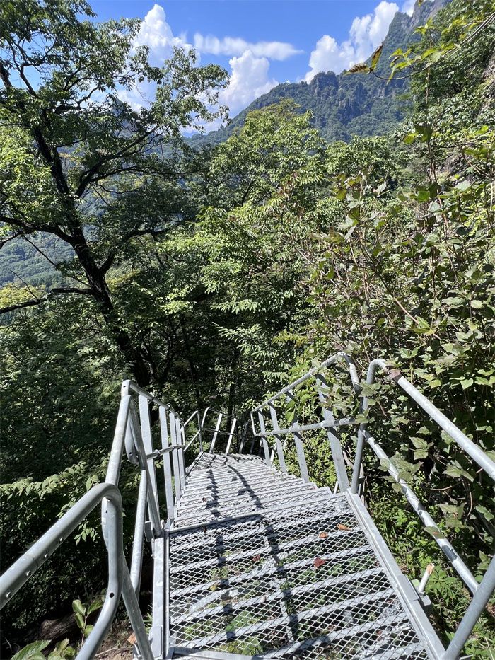
Climbing up and down the metal stairs that was incongruously put in the mountains.
Myogi Trail
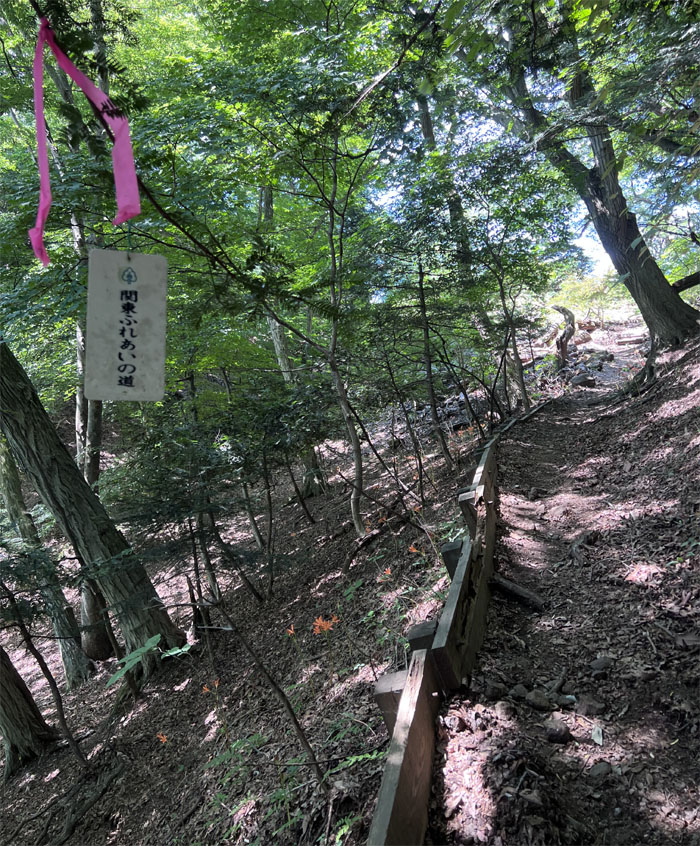
Walking on the Kanto Intersection Path. Not quite sure what that means.
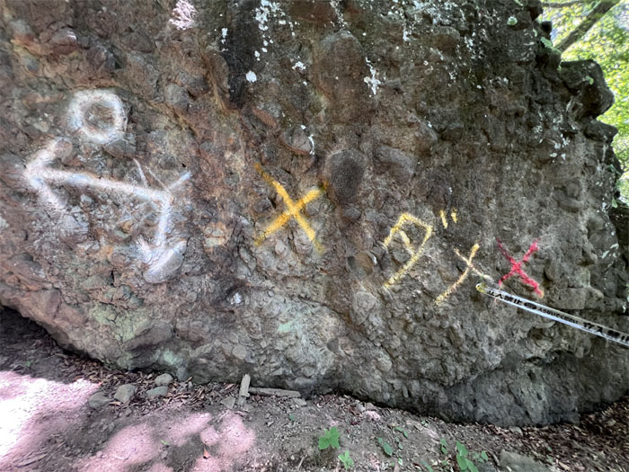
Myogi Trail
I knew the word on the left meant bad, so that means go left.
Myogi Trail
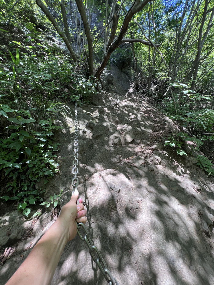
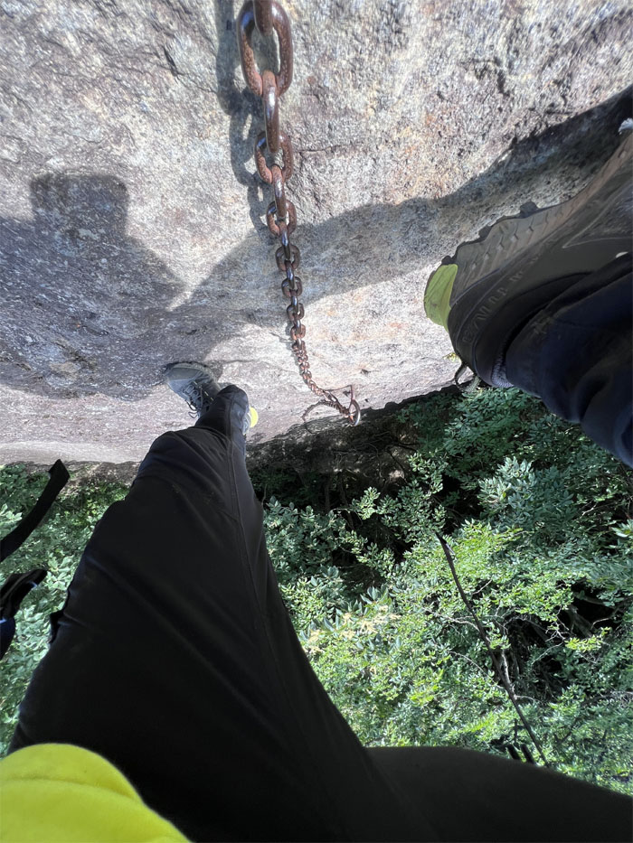
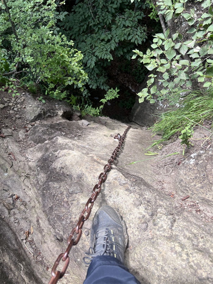
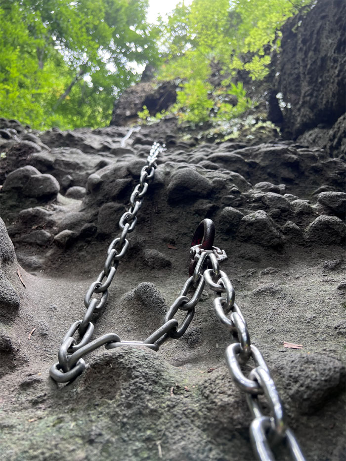
Testing out the first of many chains attached to the rocks. Still a lot stronger than the printer cables and webbing found back home. I think the map said this was the “advanced” part of the loop.
Myogi Trail
Passing a dry waterfall. Not sure which one it was.
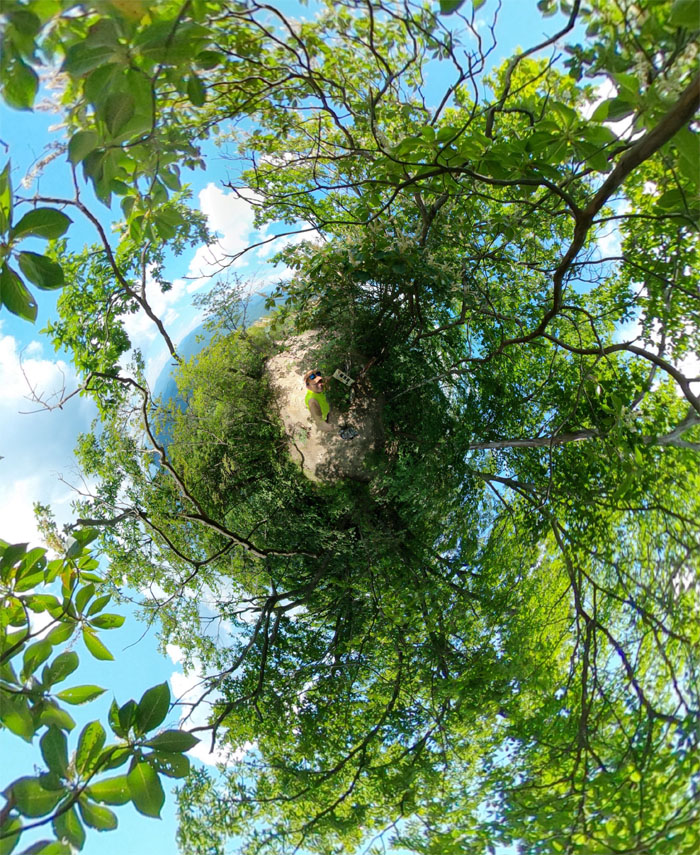
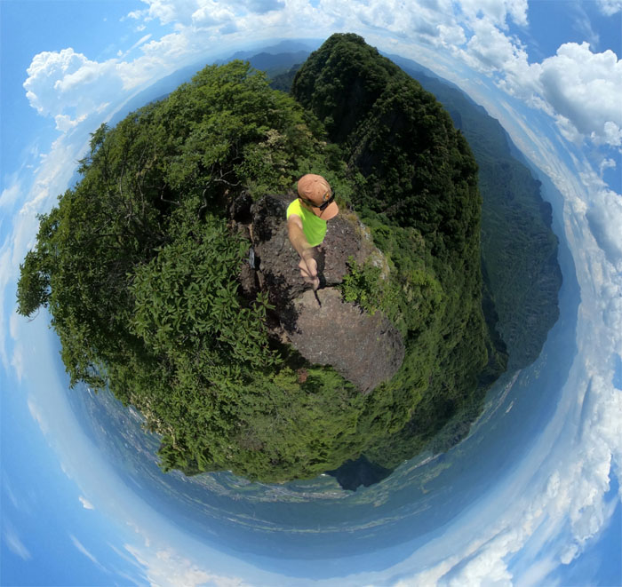
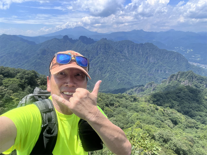
Somadake
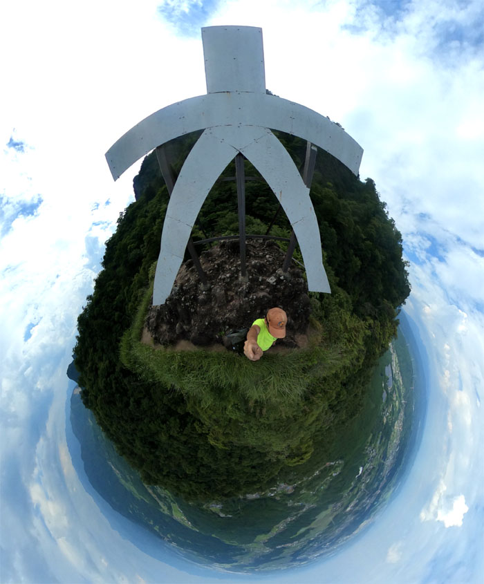
Selfie on top of the tree shrouded 3,621′ peak that is the highest on Mount Myogi.
Myogi Trail
Walking over to the next high point which I believe could have been Mount Hakuun or Tengu Rock.
Myogi Trail
Going up the near vertical rock section. I actually needed the chains as there were hardly any footholds or handholds.
Myogi Trail
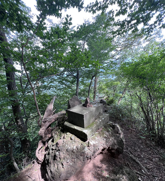
Passing through a makeshift shrine in the mountains with coins of different denominations scattered around.
Myogi Trail
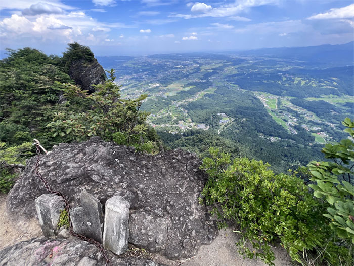
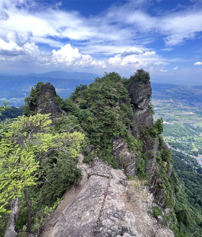
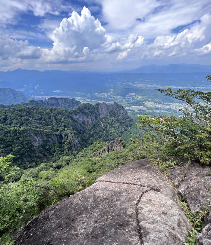
Scrambling down a narrow section of the ridge line with the weather battered craggy peaks ahead of me.
Myogi Trail
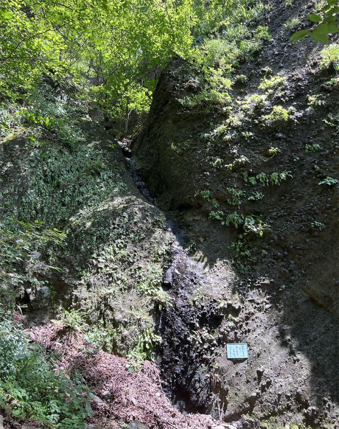
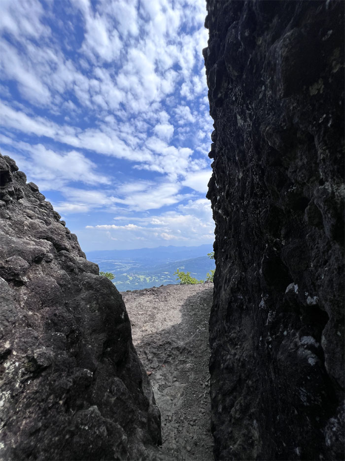
Passing through a split in the rocks.
Myogi Trail
Following the chains as it lead me throughout the rocky formations.
Myogi Trail
Belay down! Oh wait, I don’t have a belay device. Climb on down.
Myogi Trail
Looking up at my steep descent that I had just come down from. These chains came in quite handy.
Myogi Trail
Another shrine in the mountains.
Myogi Trail
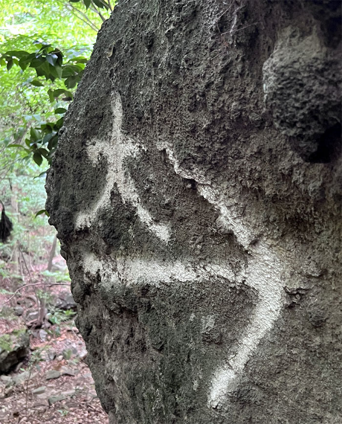
Standing underneath the giant character “dai” meaning great or large that sits in the middle of Mount Hakuun.
Myogi Trail
Going down the “intermediate” trail as I started to lose elevation.
Myogi Trail
Following the arrows as it looped me around and back down to the temple grounds.
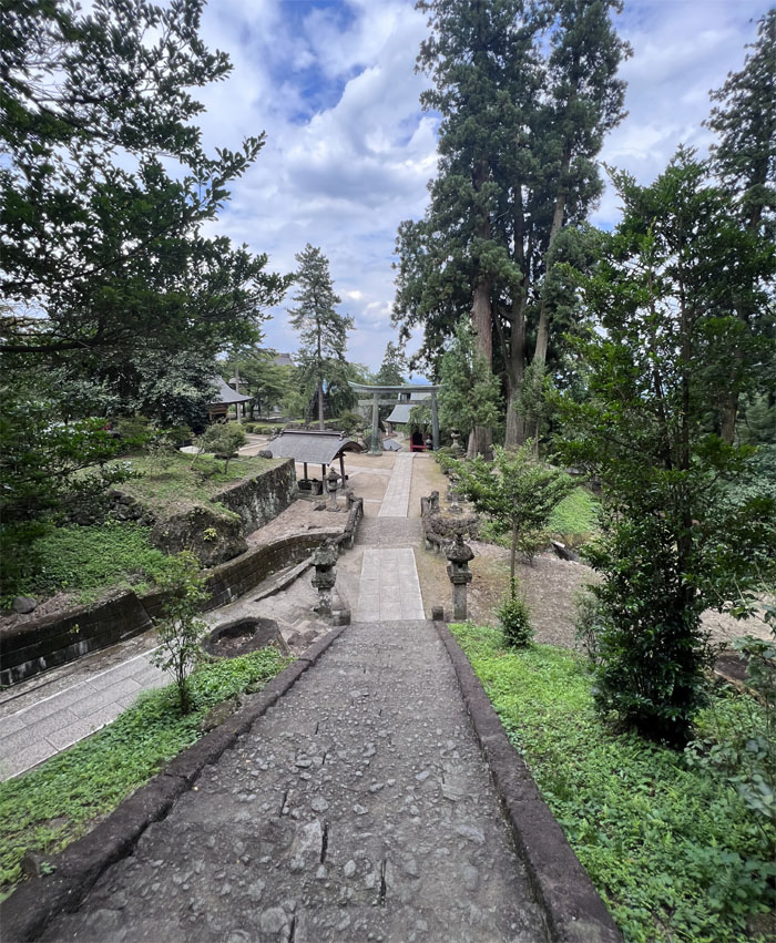
Myogi Shrine
The temple complex underwent significant development during the Edo period from 1603-1868.

All pau
I was dripping with sweat when I got down to the bottom of the temple grounds. A purchase of my favorite carbonated beverage got the shop owners to call me a taxi which resulted in catching the hourly train back just in the nick of time.

GPS Tracks
My hot as hell hike covered 6.62 miles through some challenging terrain, blistering heat and not another soul to keep me company. Post hike meal at Standing Sushi.
Note: I have been made aware that some hikers have been using my blog as a hiking guide and getting lost on the trails. Please note that this blog was made to document the hike for the crew(s) that did it. That is why some of my comments will seem to have no relevance or meaning to anybody outside of the crew(s) that hiked that trail. My blog was never meant as a hiking guide, so please do not treat it as such. If you find inspiration and entertainment from these hikes, that is more than enough. If you plan on replicating these hikes, do so in the knowledge that you should do your own research accordingly as trail conditions, access, legalities and so forth are constantly in flux. What was current today is most likely yesterdays news. Please be prepared to accept any risks and responsibilities on your own as you should know your own limitations, experience and abilities before you even set foot on a trail, as even the “simplest” or “easiest” of trails can present potential pitfalls for even the most “experienced” hikers. One should also always let somebody know of your hiking plans in case something doesn’t go as planned, better safe than sorry.
{ 0 comments… add one now }