We went in search of a tunnel but found something close to it, but no cigar.
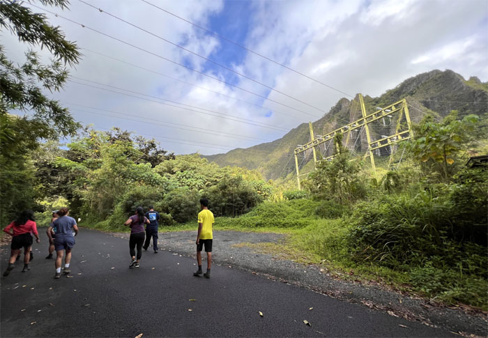
Met up with Art, Chris, Edgar, Jen, Lilyn, Marilyn, Mateo, Quan, Scott, and Tessa to take a morning stroll in the neighborhood.
Three distant cousins in the picture.
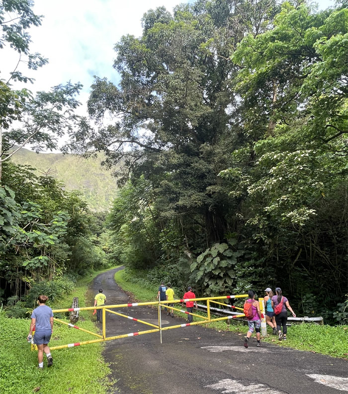
What time does the gate open?
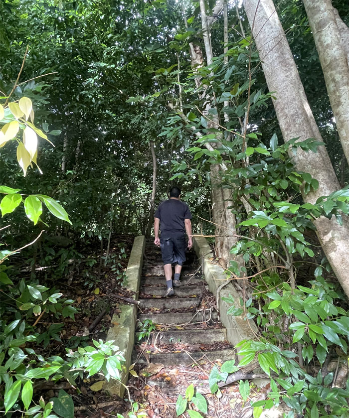
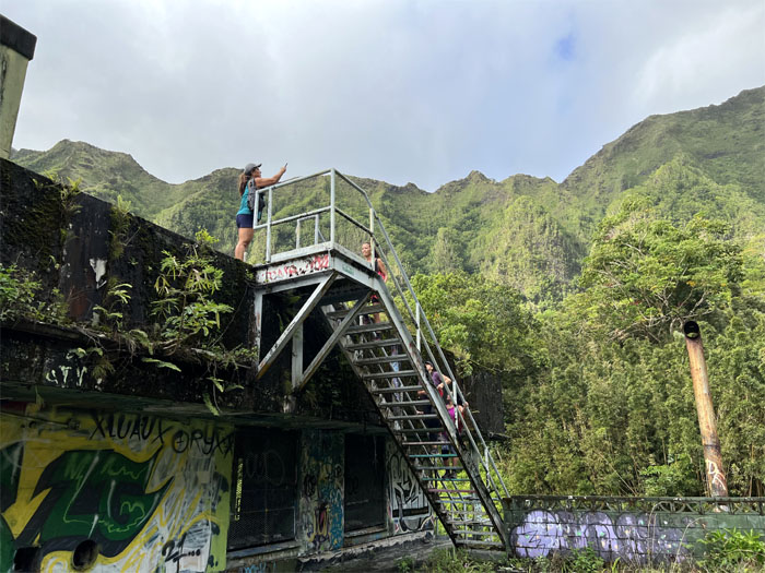
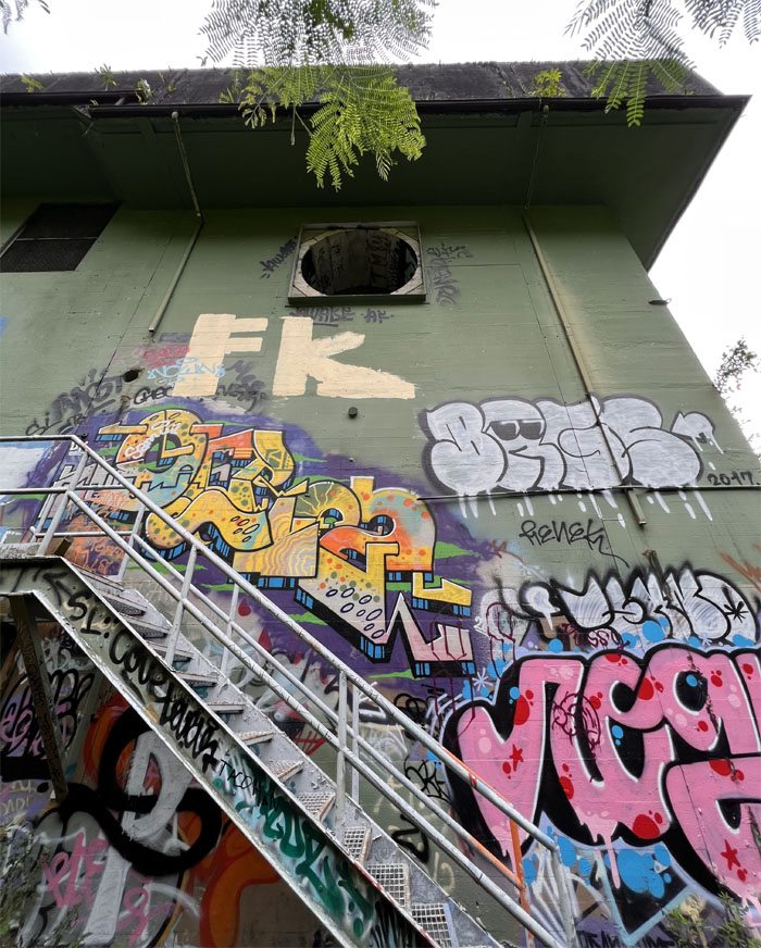
Art climbing the stairway to nowhere.
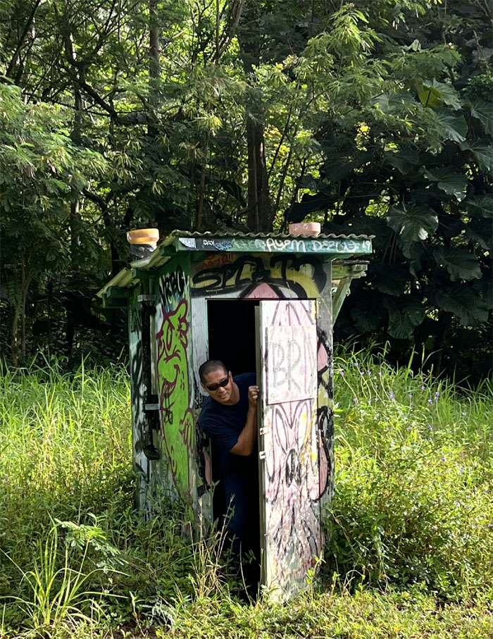
I’m sorry, this outhouse is occupied. You can use the bush over there.
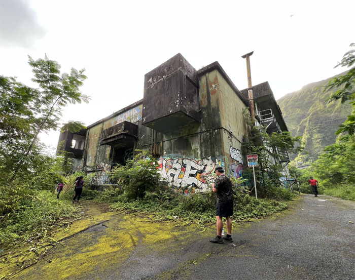
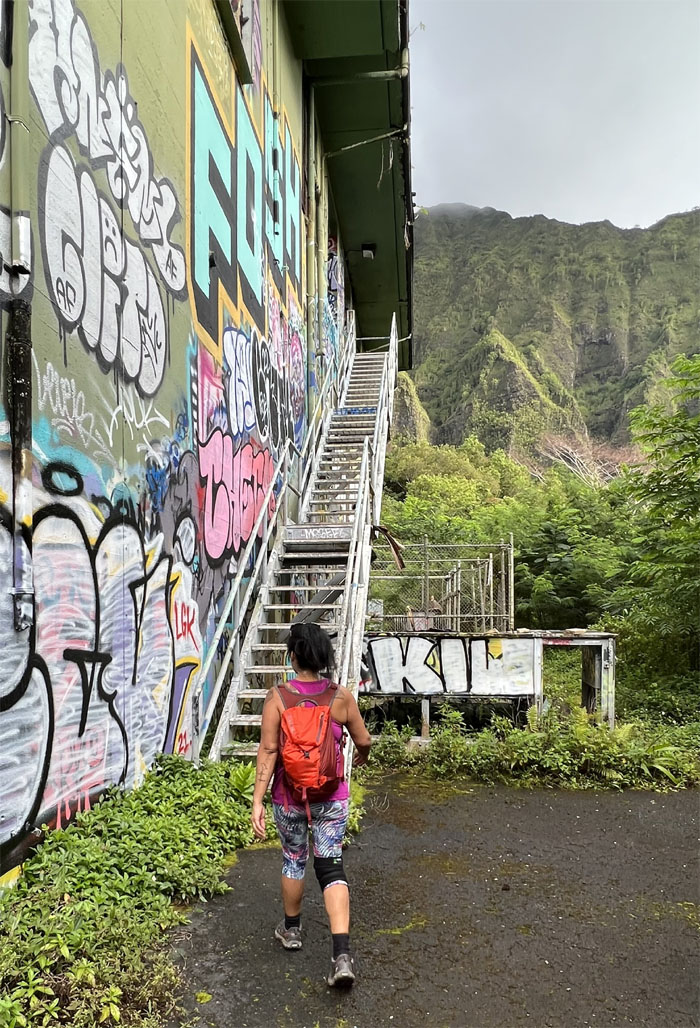
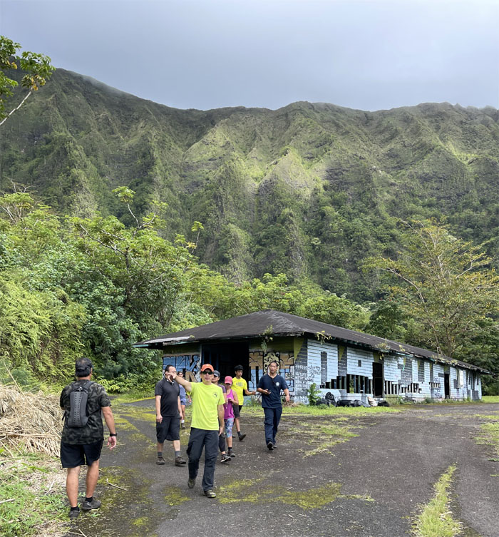
Approaching the Naval Radio Station that was built back in 1942 and closed in 1958. The thick concrete walls and ceilings were meant to withstand a 200 pound bomb blast. The Navy then transferred the property to the US Coast Guard, who operated it as the Omega Station from 1975 to 1997.
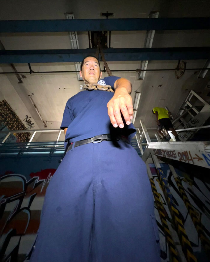
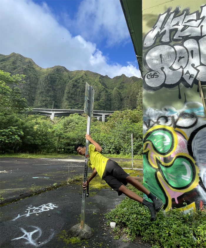
Scott just hanging around.
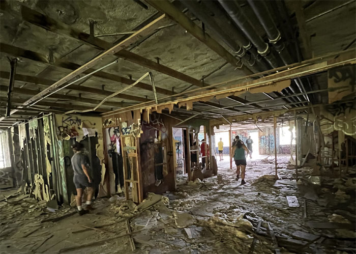
Exploring the lower level. Everything of value has long been stripped, burnt, trashed and vandalized.
Leaving the machinery and strewn debris behind us.
Chip off the old block.
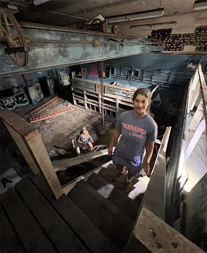
Tessa making her way up the stairs.
Checking out the upper floors or whats left of it.
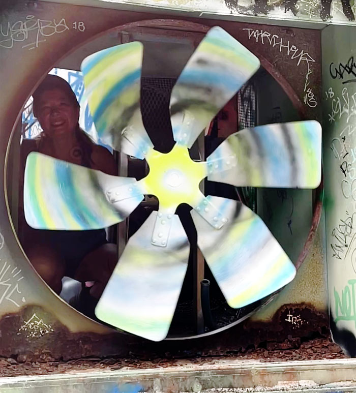
In the old days, fans had to be manually turned to provide air circulation. They also walked barefoot to school on a’a lava as well.
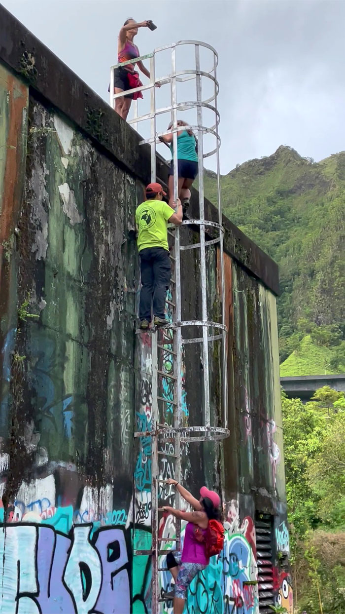
Climbing up the rooftop.
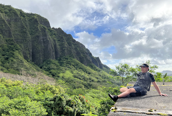
Edgar sitting on the roof with the sharply notched and angled ridge in the background that illustrates why Stairway to Hell was never completed.
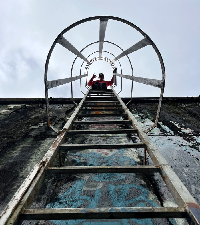
Chris at the top, looking down.
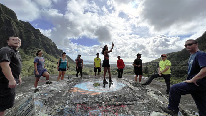
Taking a panoramic picture is harder than it looks.
Outside looking in.
Shock the monkey. Who turned the power back on?
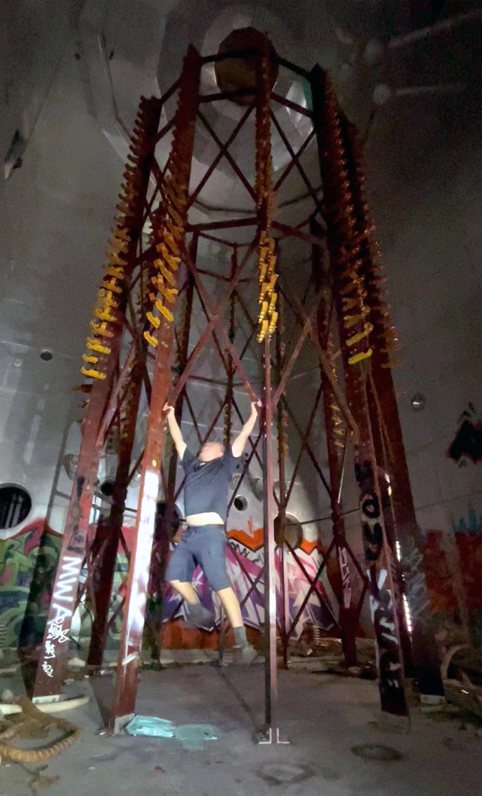
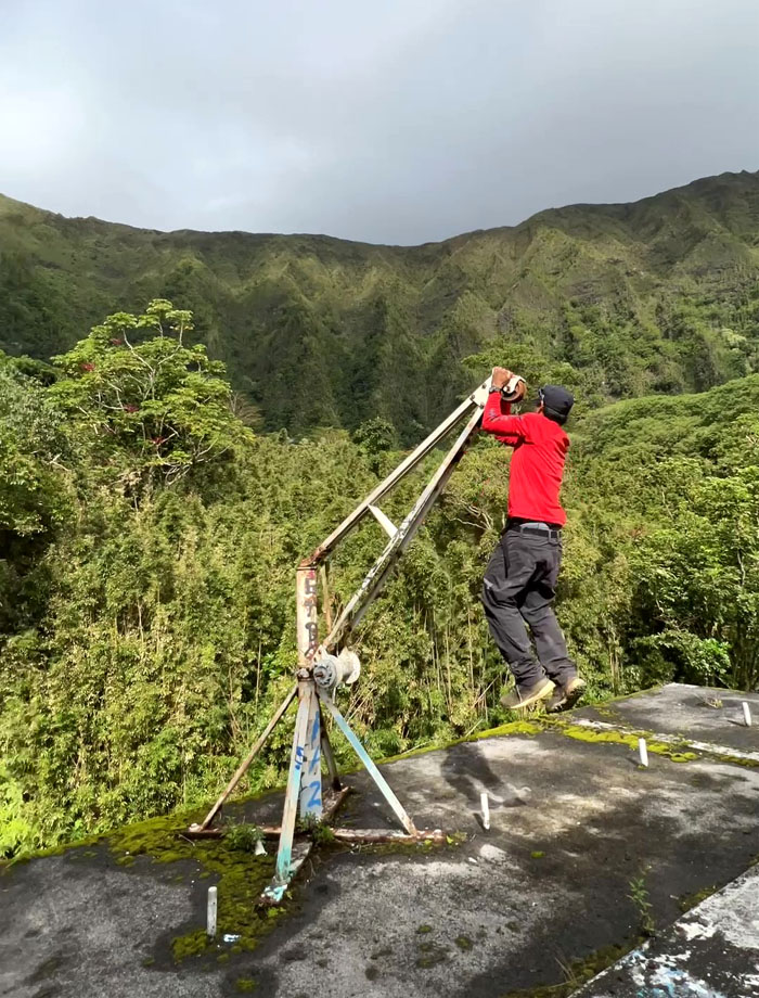
Chris using the ten ton crane for pullups.
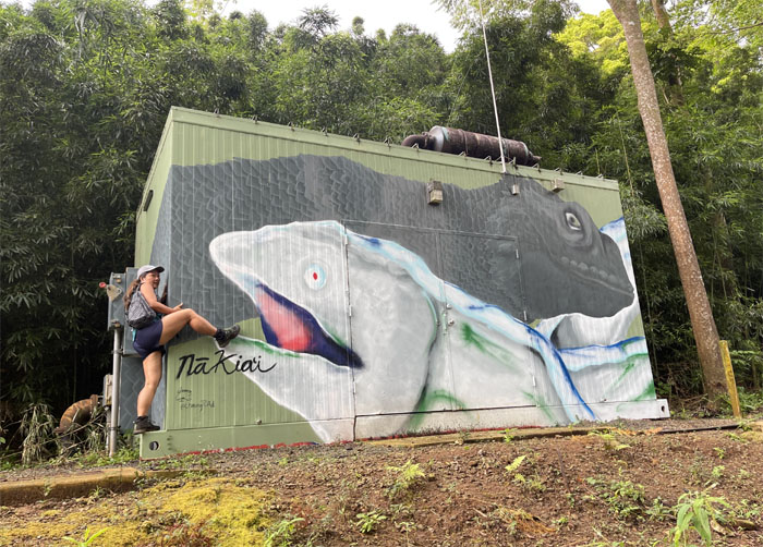
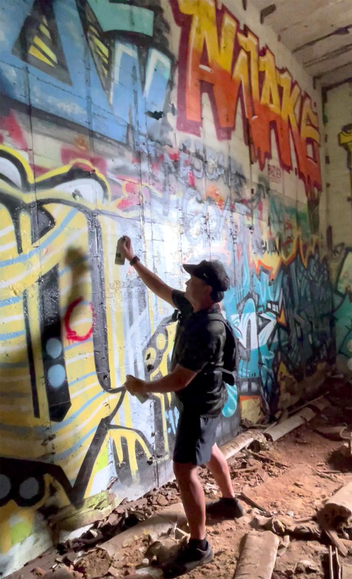
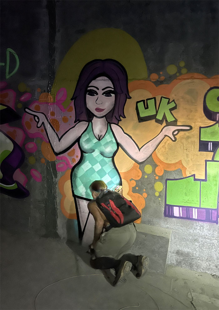
Watching an artist at work.
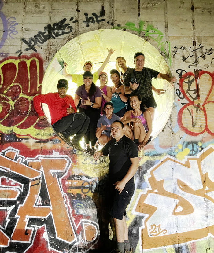
How many hikers can cram into the hole? Apparently nine. Sorry Art.
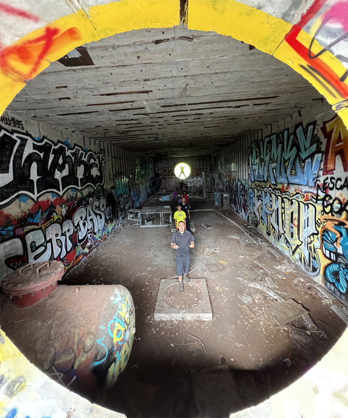
Hole to hole view.
Looking up at one of two openings where the antennas that were hung across Haiku Valley were housed.
No trail here. Nothing to see here. Move along.
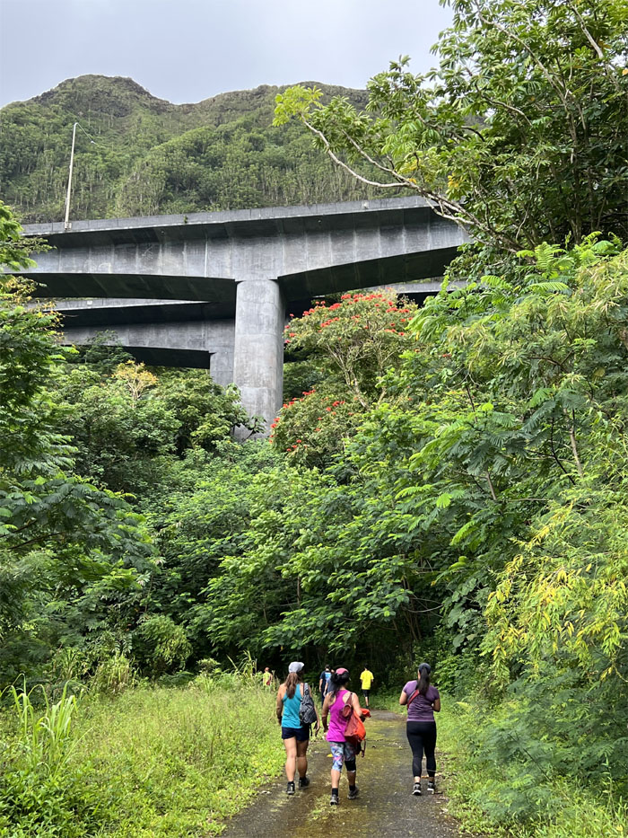
Approaching the most expensive public works project in Hawaii, that is until the rail came along.
Jen leaving the road for the well-trodden trail.
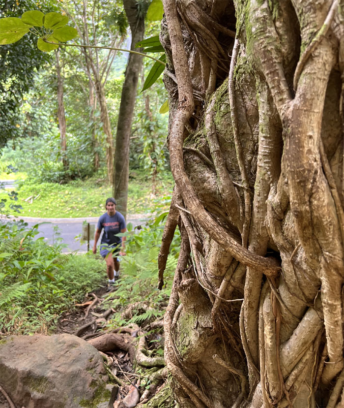
Chris has a knack for finding stuff in the woods.
We met up with Allison and Laredo who were going to guide us to Scott’s next wet dream, well moist dream.
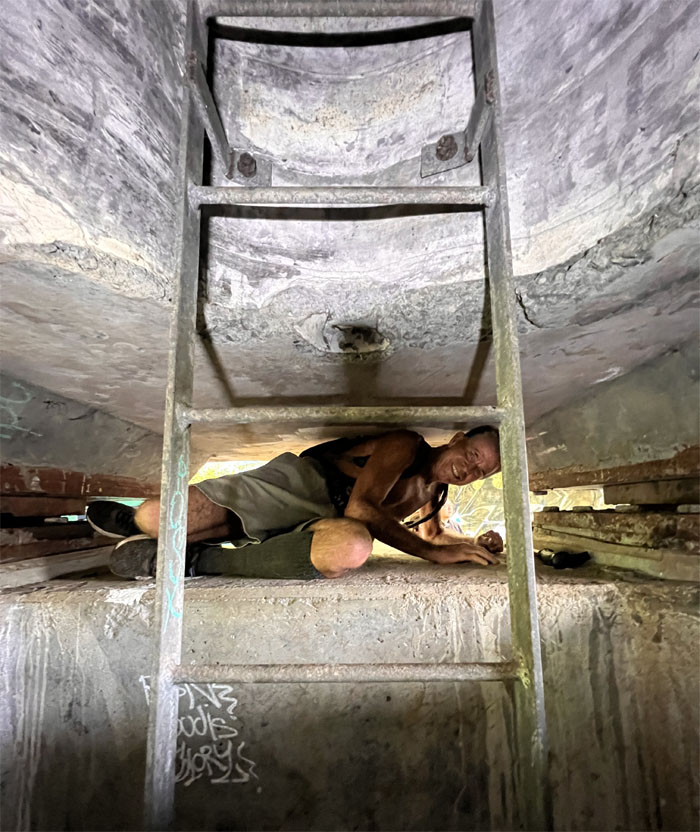
Tight fit. Lucky I’m on a diet.
Laredo sliding his way through the crack.
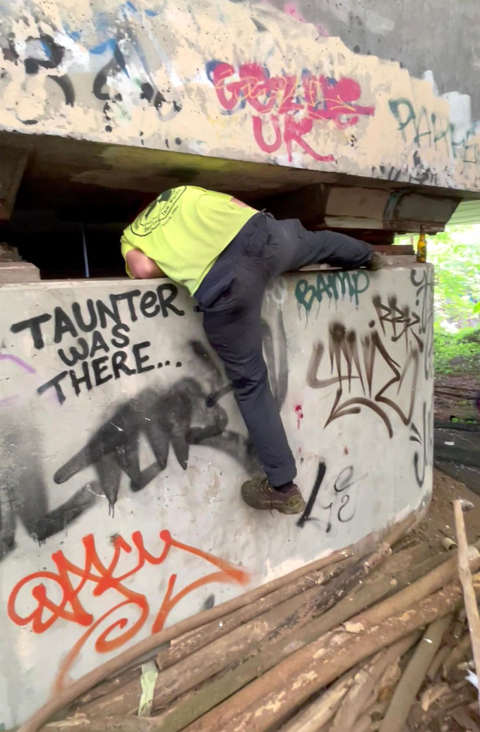
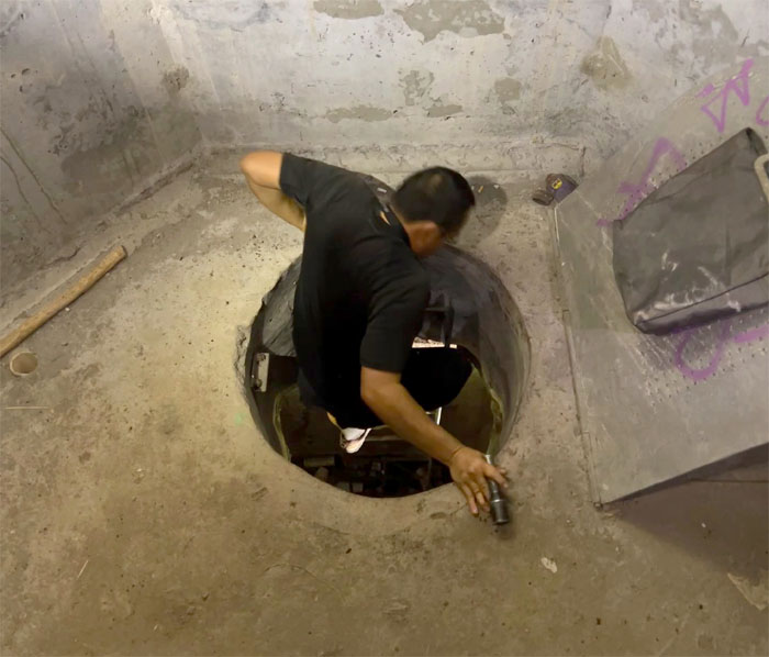
Art pulling himself up through the hatch.
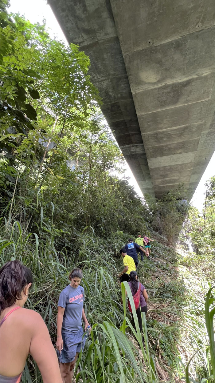
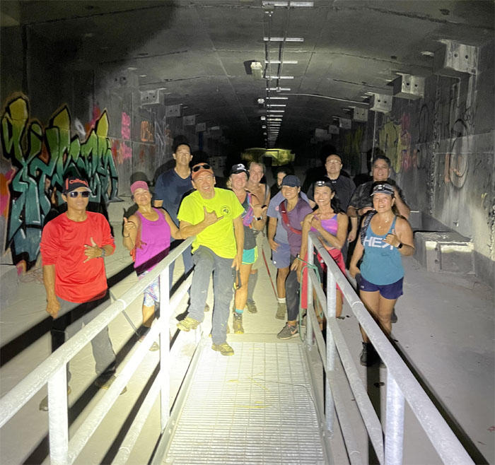
Group photo underneath the 38′ wide freeway.
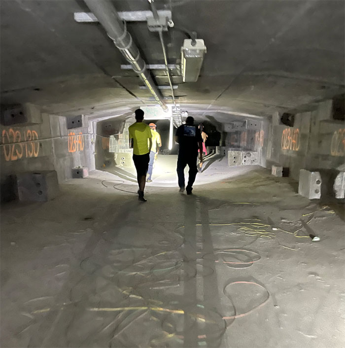
Going down the tunnel where stripped wiring littered the ground. That’s why we can’t have nice things.
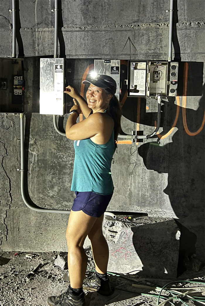
I don’t think somebody paid their electric bill.
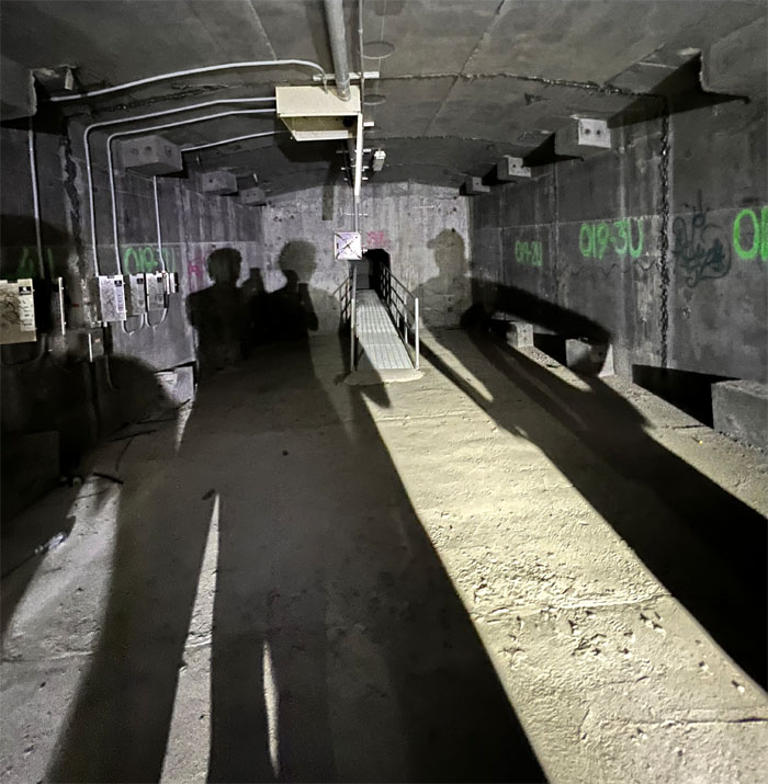
Shadows.
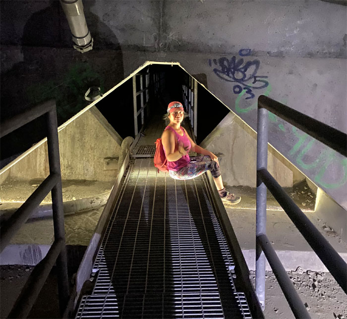
Mateo crossing over one of the walkways that connected the tunnel sections.
I think Laredo was doing a cavity search.
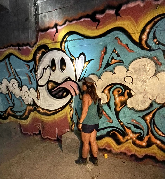
Licking the front end.
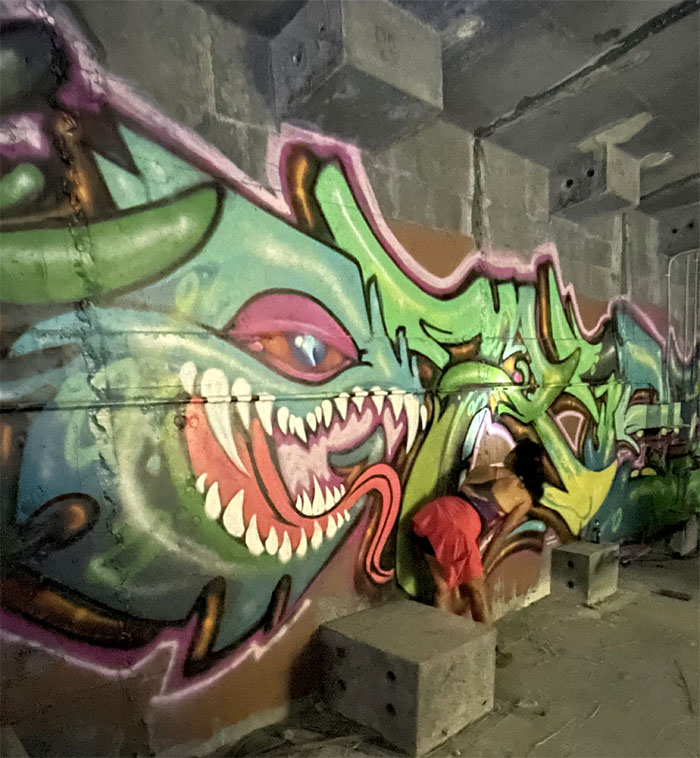
Licking the back end.
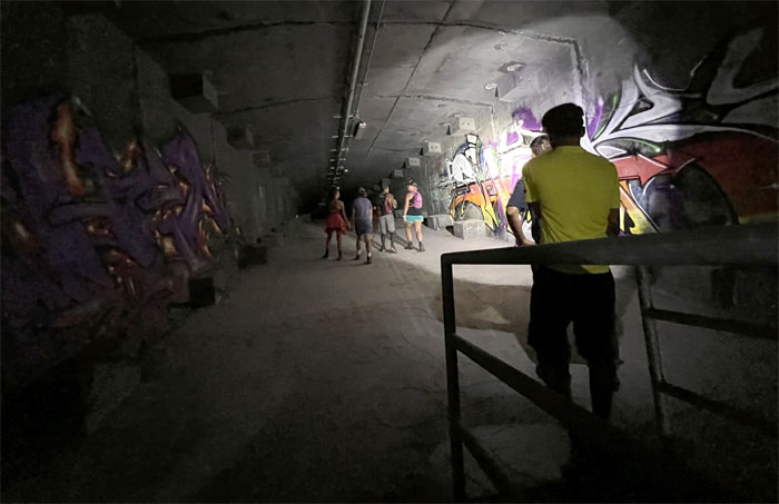
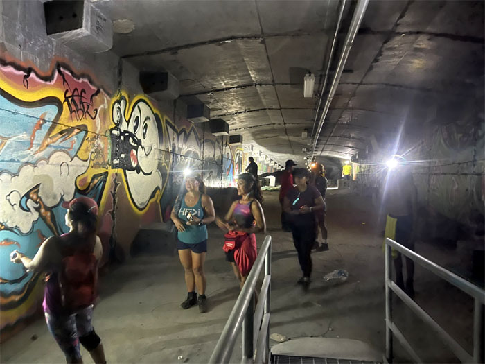
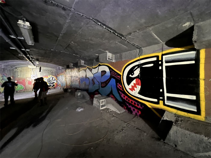
This was like a field trip visiting the Urban Museum of Graffiti.
Faster than a speeding bullet.
It was quite the handful for Art.
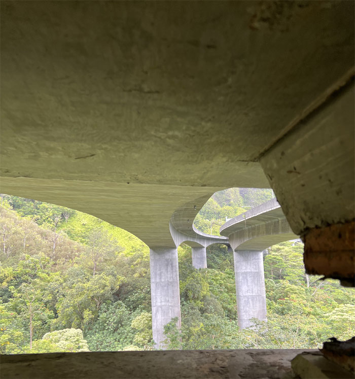
Catching a breath of fresh air, some of us dropped down from the tunnel and caught a glimpse of the highway slicing through North Halawa Valley.
Tessa sitting on one of the walkways as vehicles rumbled over our heads.
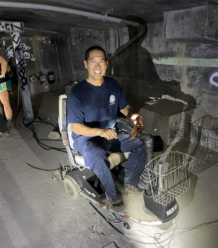
Scott test driving something he may need in a couple of years. Joke.
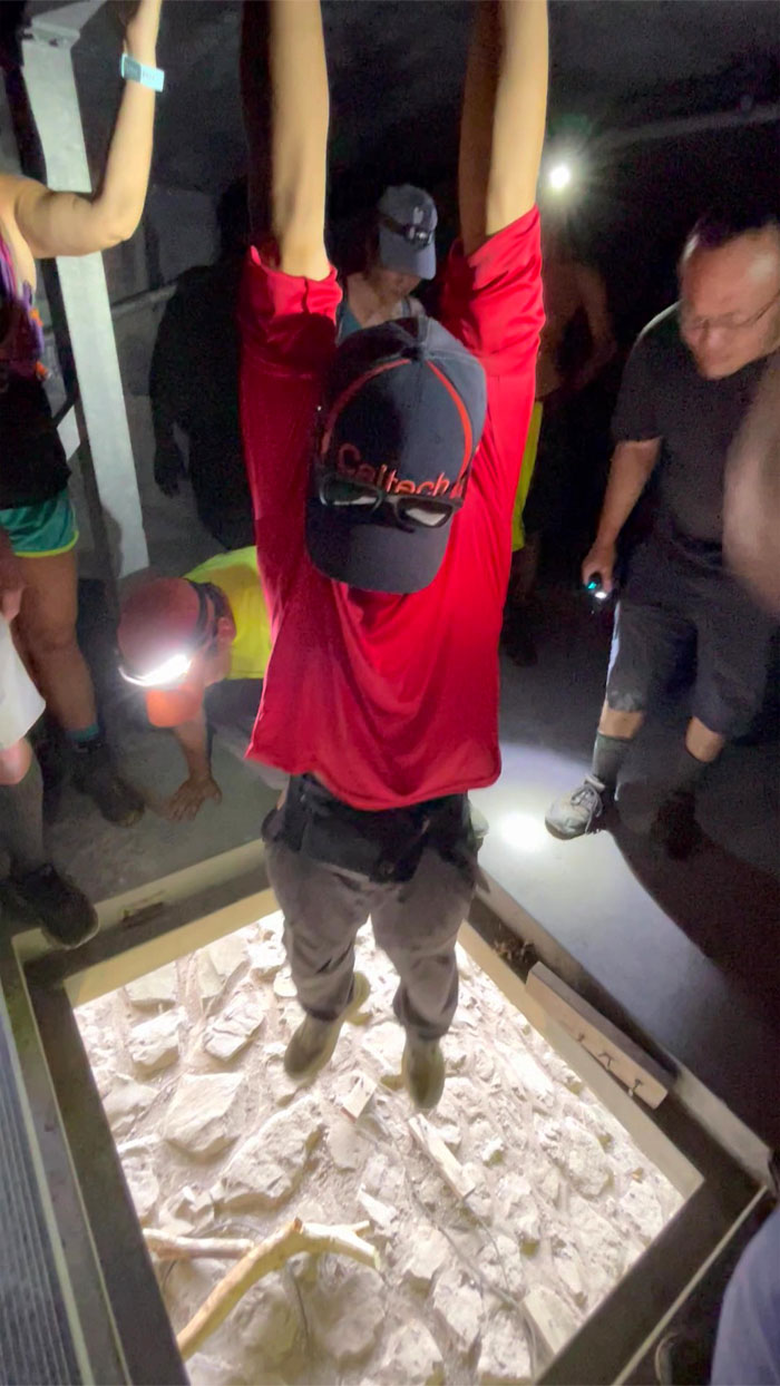
Chris hanging above the exit hatch.
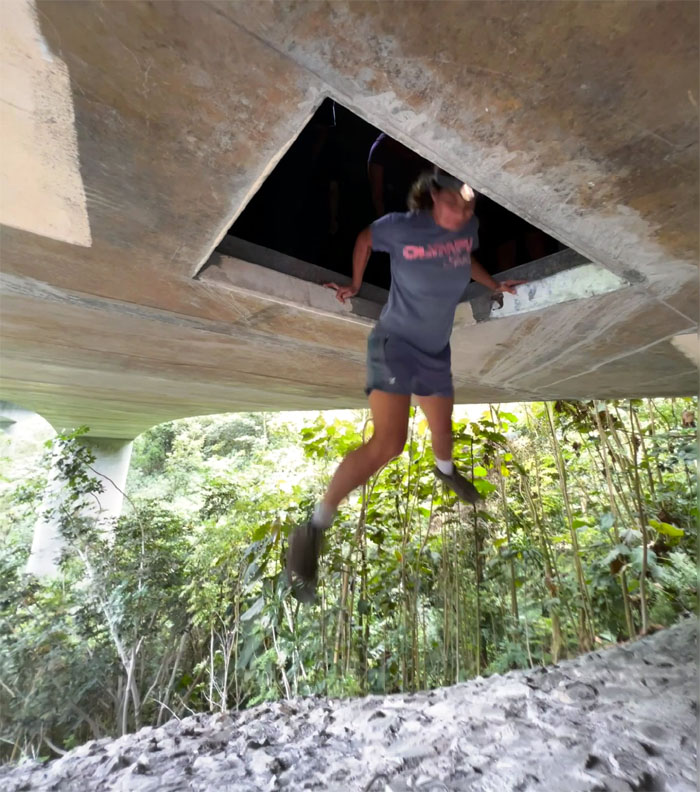
Some choose the unassisted fall.
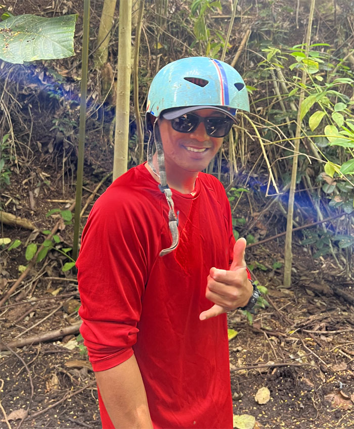
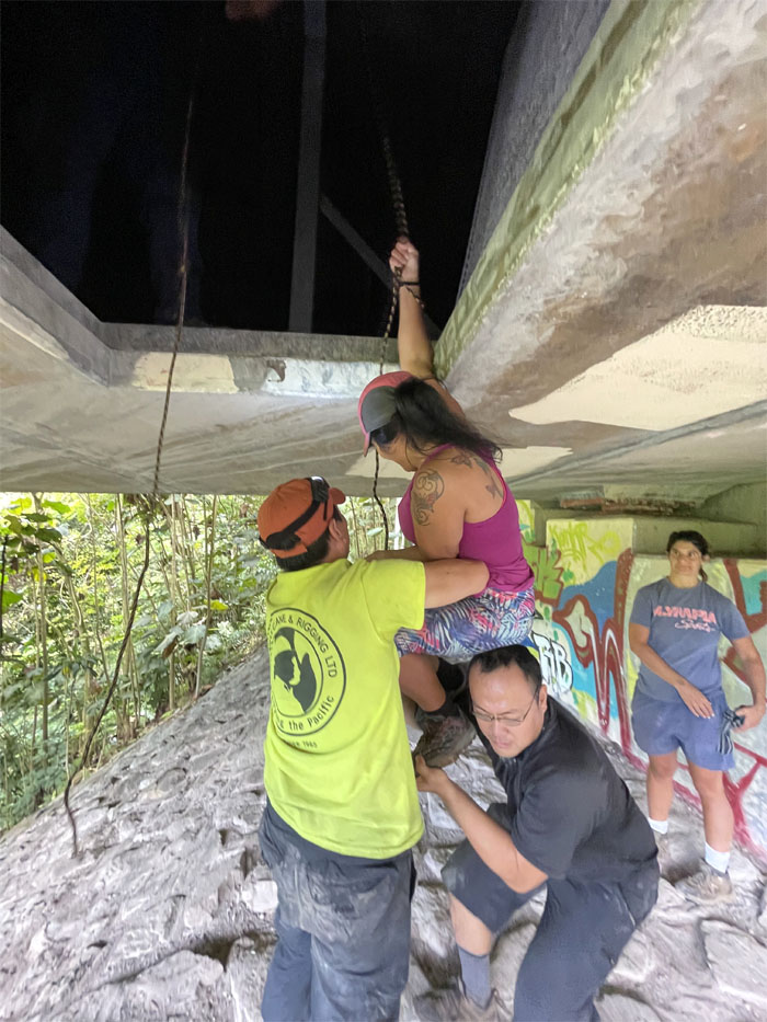
Others choose the assisted ride down.
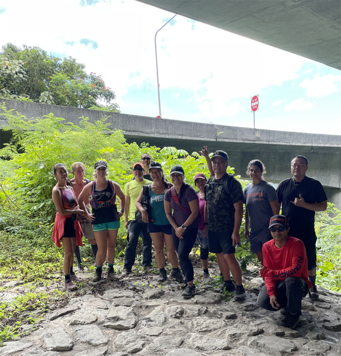
Group photo underneath the highway that took over 37 years from inception to completion and cost $1.3 billion dollars to build.
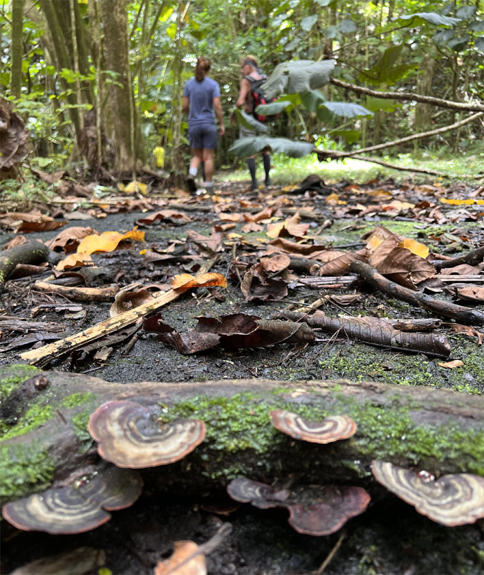
We found out we couldn’t do the round trip, so we hiked back through the forest trails, bridges and service roads.
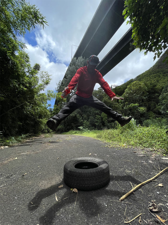
Chris jumping on the ghetto version of the bouncy house.
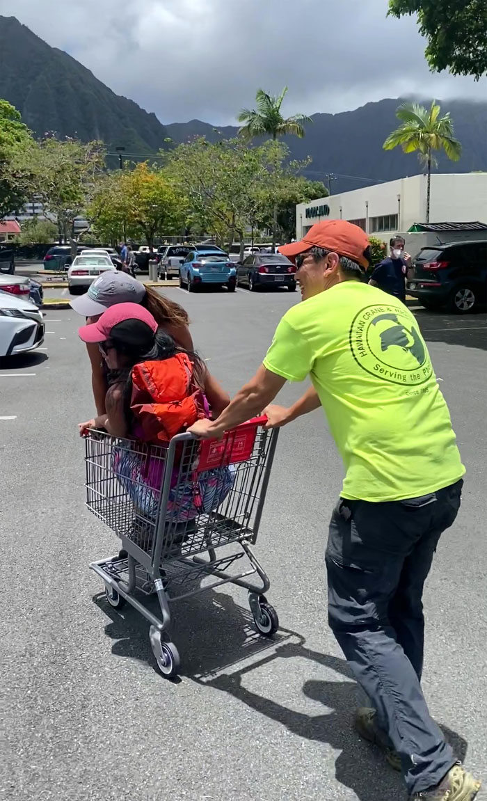
Pressed into service to move away a shopping cart for a random driver and to shuttle hikers. Fun hike with a great group. Post hike meal at Mexican Food. What kind of food do they have on the menu?
Video by Edgar Gamiao of our Omega Station Hike.
https://www.youtube.com/watch?v=-VMp8GEQERU
Video by Edgar Gamiao of our H3 Tunnel Hike.
https://www.youtube.com/watch?v=on5rr8CigjA
Photos taken by Allison Banks, Art Young, Chris Bautista, Edgar Gamiao, Quan Haberstroh, Jen Odence, Lilyn Avendano, Marilyn Bermudez, Mateo Dea, Scott Dea, Tessa Bugay and yours truly. Not necessarily in order.
Note: I have been made aware that some hikers have been using my blog as a hiking guide and getting lost on the trails. Please note that this blog was made to document the hike for the crew(s) that did it. That is why some of my comments will seem to have no relevance or meaning to anybody outside of the crew(s) that hiked that trail. My blog was never meant as a hiking guide, so please do not treat it as such. If you find inspiration and entertainment from these hikes, that is more than enough. If you plan on replicating these hikes, do so in the knowledge that you should do your own research accordingly as trail conditions, access, legalities and so forth are constantly in flux. What was current today is most likely yesterdays news. Please be prepared to accept any risks and responsibilities on your own as you should know your own limitations, experience and abilities before you even set foot on a trail, as even the “simplest” or “easiest” of trails can present potential pitfalls for even the most “experienced” hikers.



{ 6 comments… read them below or add one }
stumbled across this while researching this building after seeing it on someone’s instagram story. just wanted to say i love your captions and looks like you all had a great time. lovely photos.
Aloha Bob,
Thanks for the kind words. Yep, always fun exploring and hiking out there.
Mahalo
Hiii I am looking to do this hike and would love some information on it!!!! I have lived on Oahu for many years and have never been.
Aloha Krista,
The Omega Station is located in the neighborhood of Haiku Gardens and is quite well known and popular there. I see locals and residents walking through the area for their daily exercise, so I guess it’s okay. Check first. Regards to the H3 tunnels, we were taken by a guide who prefer that the location not be divulged. But if you do some digging and homework, you probably will be able to find it.
Mahalo
how did you find someone to guide you?? and how can I find this beautiful spot?? if you don’t mind me asking.
Aloha Tayler,
It was a mutual friend that showed us the spots. You just have to ask around.
Mahalo