Analyn, Ferlino and myself flew over to the Garden Isle to get in some hiking this weekend.
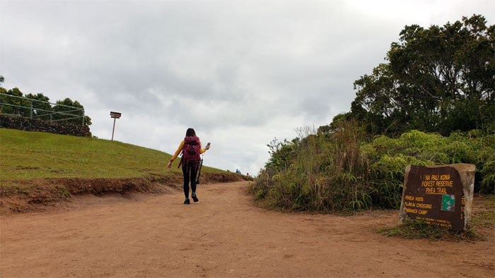
We picked up our rental car, stocked up on water and snacks at Walmart and drove to the end of the winding road to Waimea to begin our hike.
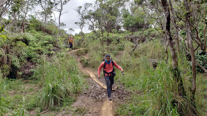
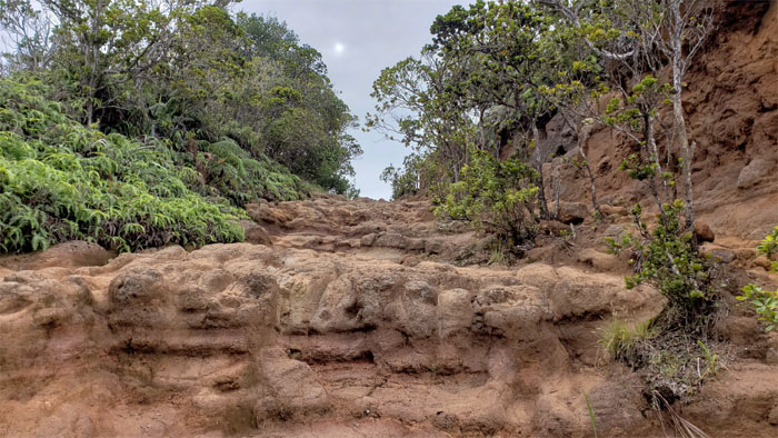
Descending down the seemingly solidified eddies and currents captured on the trail. Photo by Ferlino Carinio.
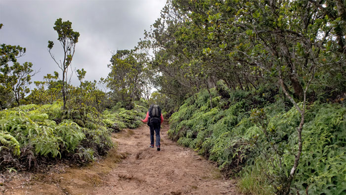
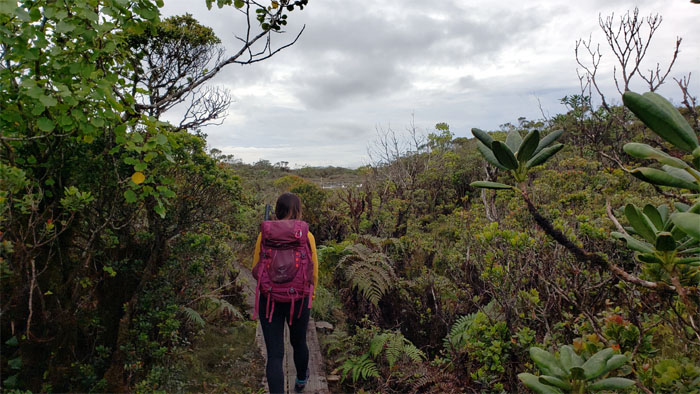
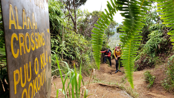
Analyn going up the fern lined trail.
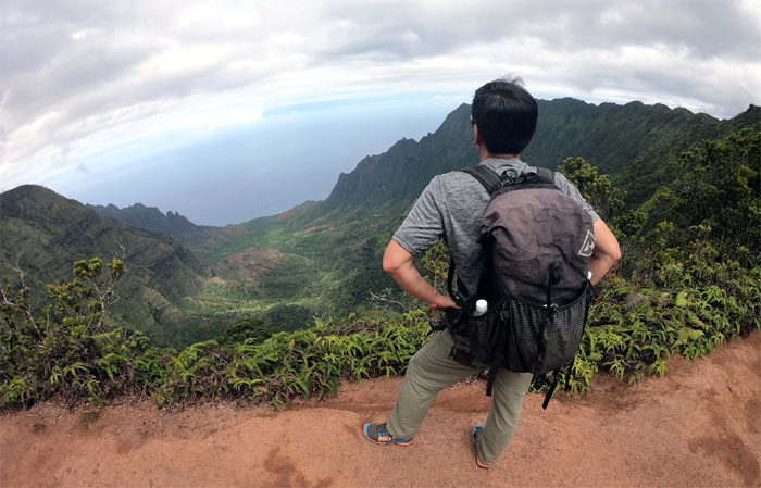
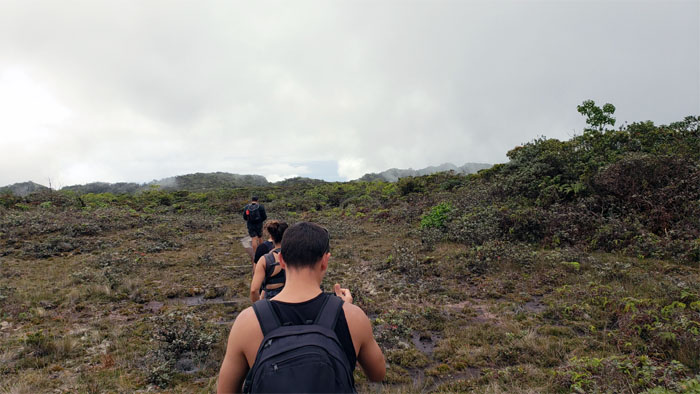
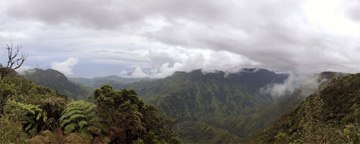
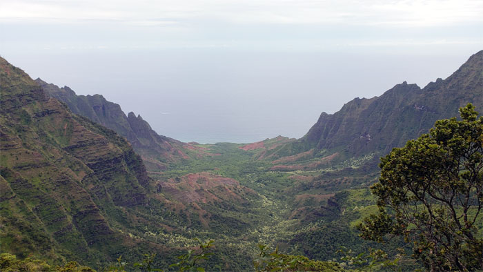
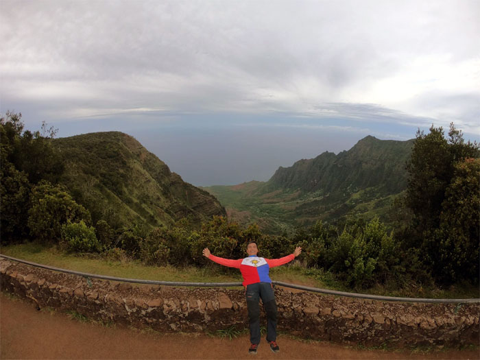
Stopping to gawk at one of the many jaw dropping views of Kalalau Valley along the rim. Photo by Analyn Baliscao.
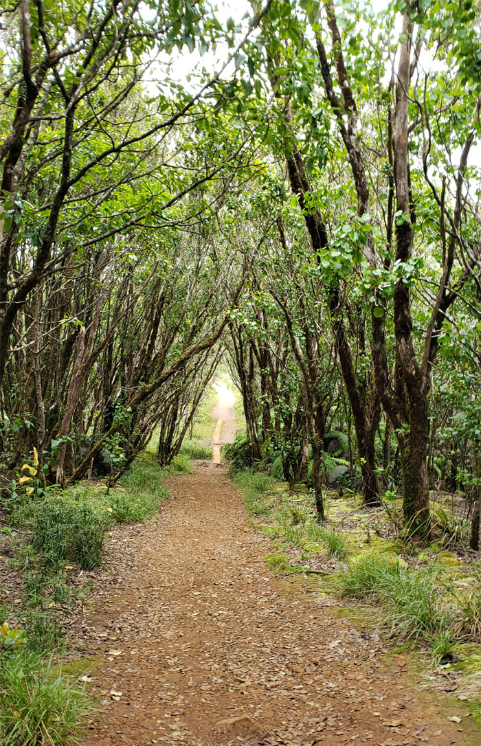
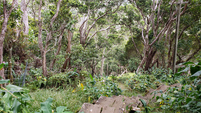
Making my way down the tree lined trail.
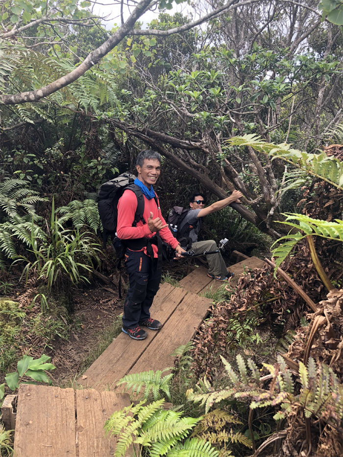
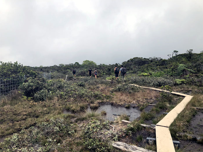
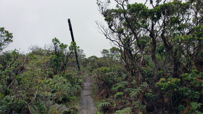
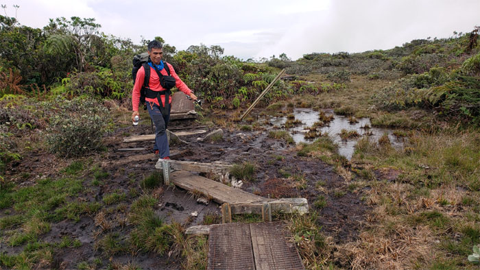
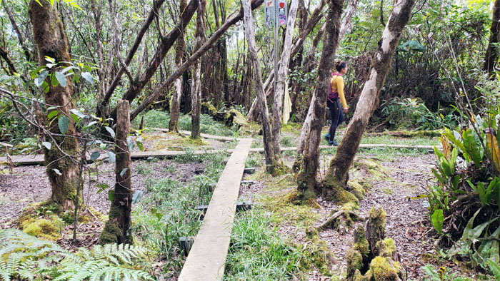
Ferlino walking the planks over the muddy section.
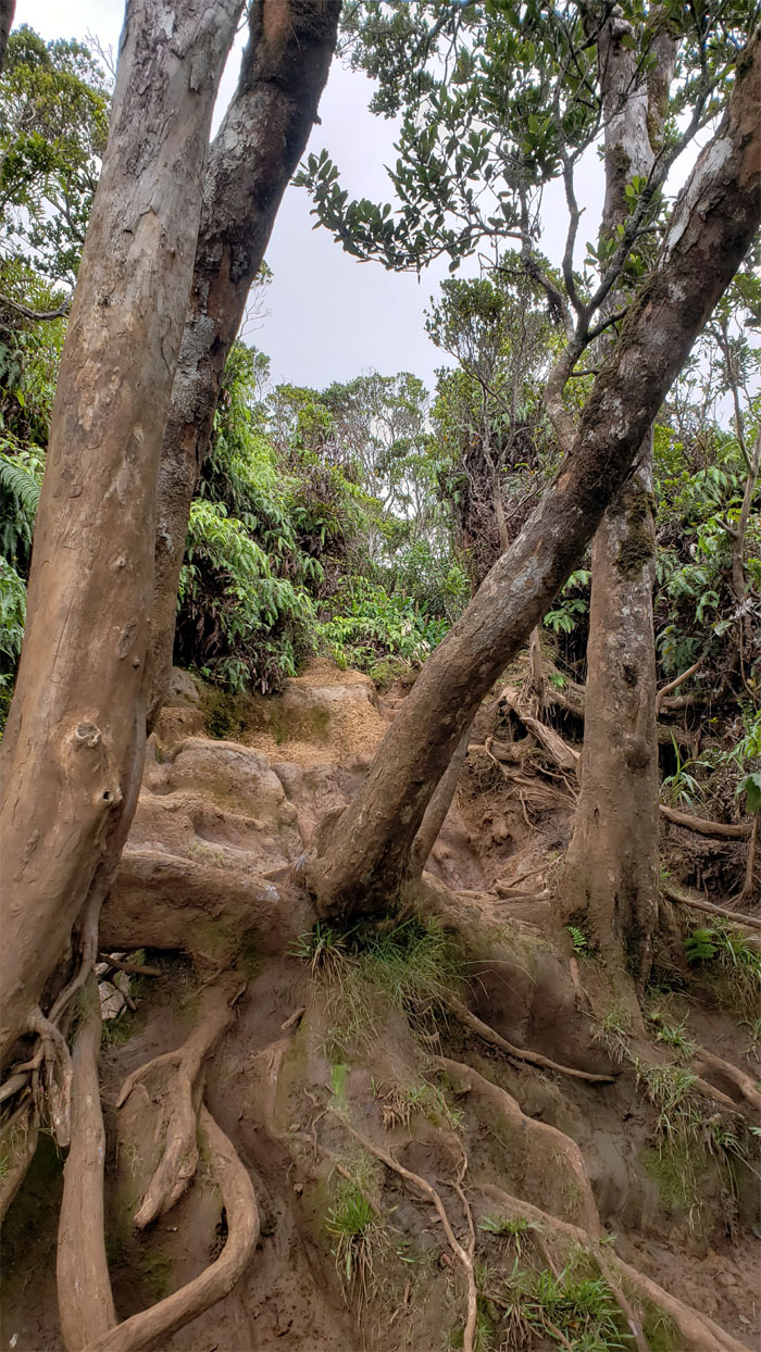
Leaning trees and sprawling roots soon dominated the terrain.
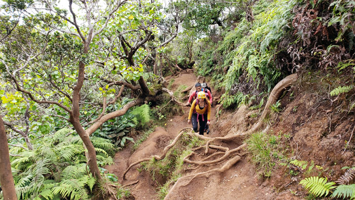
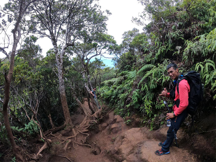
Analyn and Ferlino making their way up the heavily rooted trail.
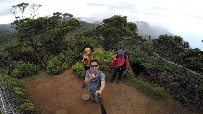
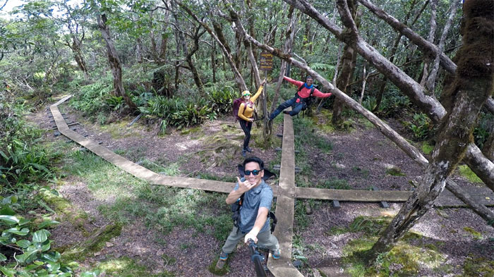
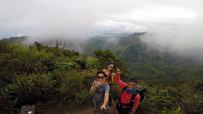
Group photo at the 4,284′ summit left to right: Analyn, myself and Ferlino. Where is the trail? Don’t trust the book, listen to the locals.
Going down the boardwalk. Photo by Analyn Baliscao.
The forest canopy filtered and spackled the sunlight reaching the redwood planks. Photo by Ferlino Carinio.
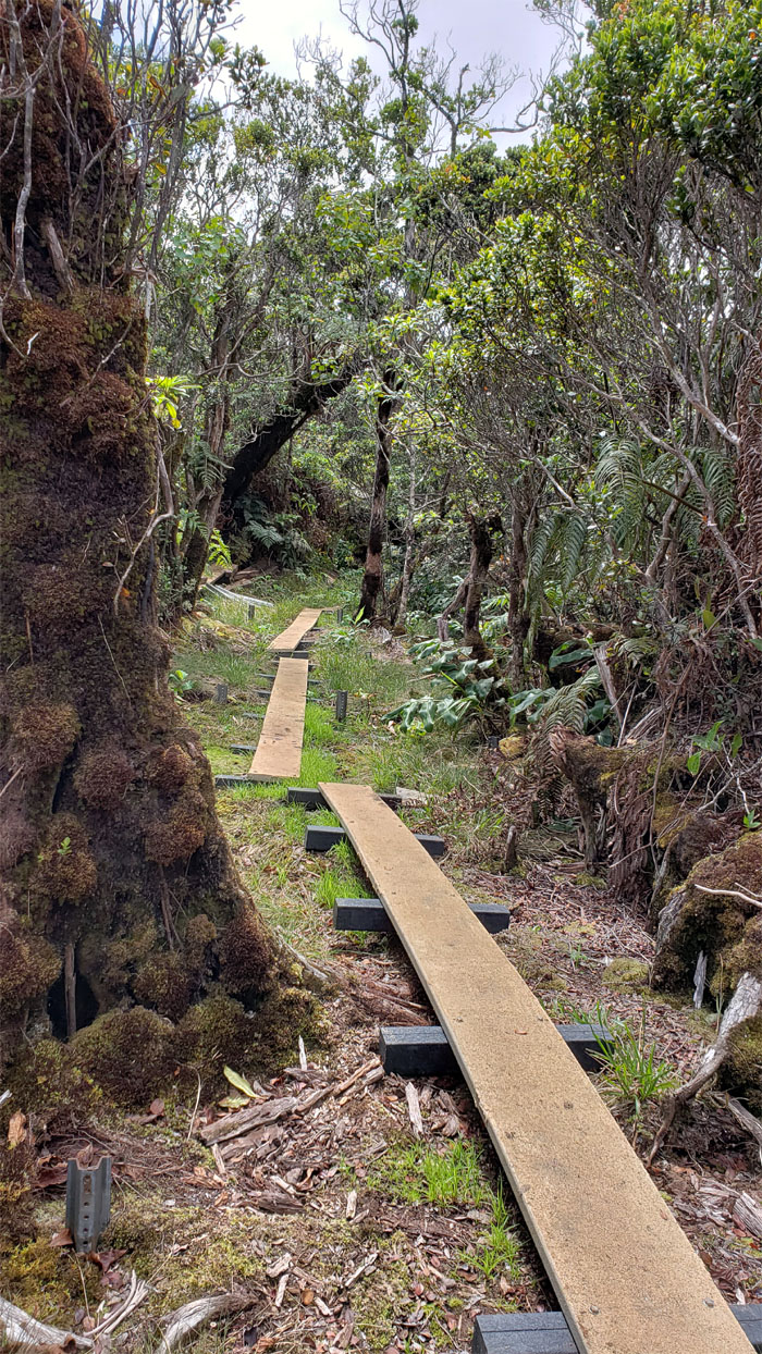
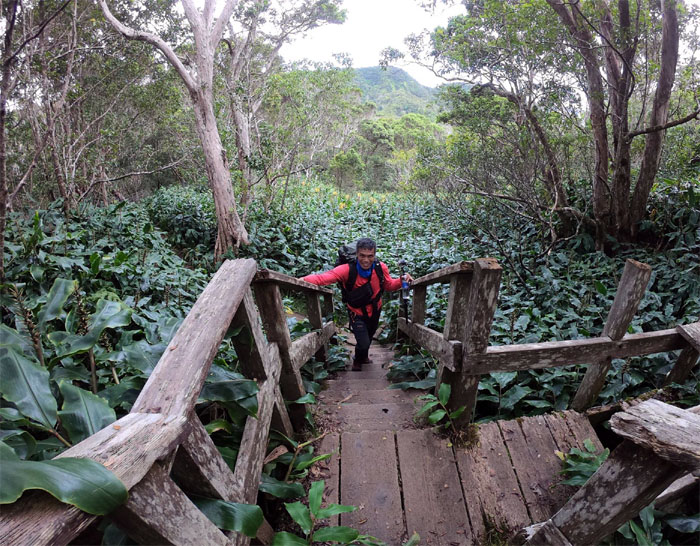
The State has begun to replace the rotting planks with recycled plastic ones. Is this where all the plastic bags went?
We turned left at the junction to head towards the Alakai Wilderness Preserve, better known as Alakai Swamp.
Descending lower and … Photo by Ferlino Carinio.
… lower into the native forest.
The sounds of surface water flowing soon reached our ears.
Watching the water stained by the forest floor as it coursed its way down stream. Photo by Analyn Baliscao.
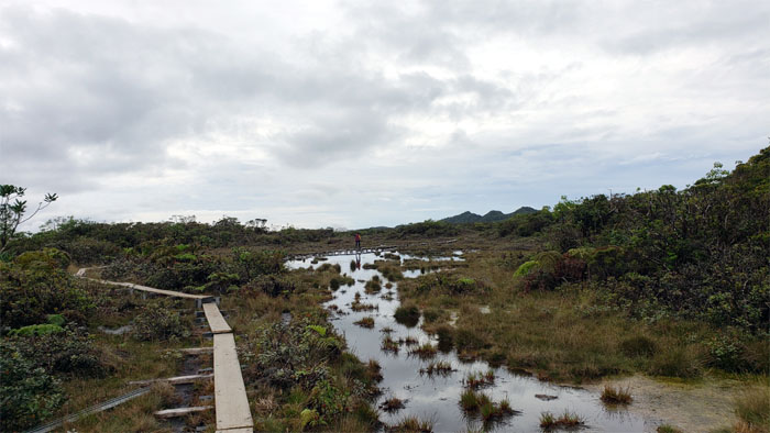
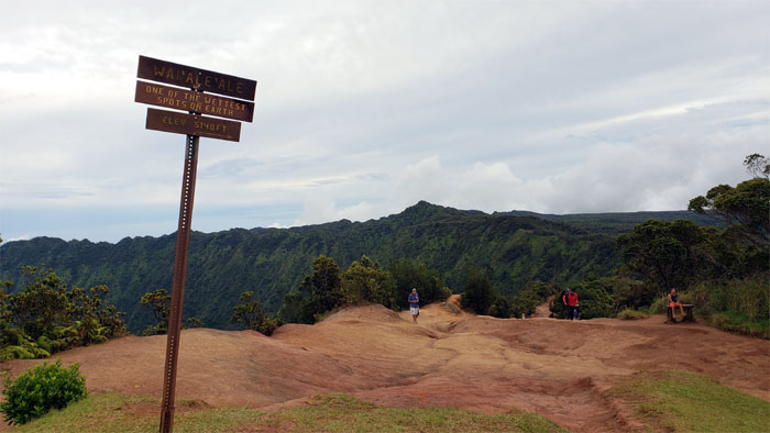
Stepping foot on the plateau that is filled with overflowing water from Mount Wai’ale’ale, one of the wettest spots on Earth. Photo by Analyn Baliscao.
We bumped into another group making their way through the swamp as we saw windows of blue skies peeking through the clouds.
Passing one of the remaining telephone poles that were built by the US Army during WW2 to serve as backup communications in case the Japanese invaded and captured Lihue.
The clouds drifted in and out at the 4,030′ uneven platform overlooking the northwest coastline.
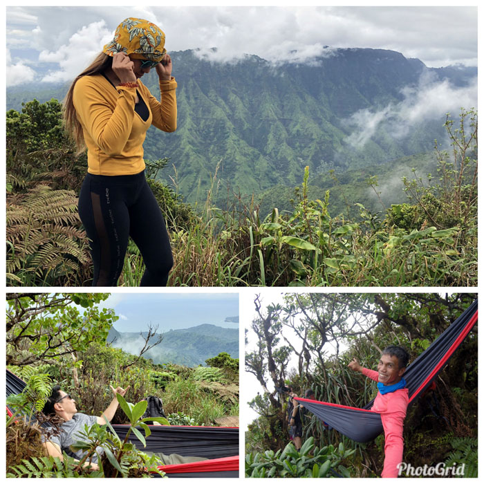
Ferlino set up his hammock and we commenced the hour long photo shoot. Photo time is more important than eating time for some people.
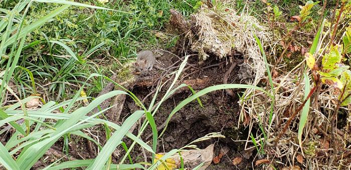
These scurrying rodents threaten the native bird population that inhabit the wetlands.
One last sweeping view of Hanalei Bay and Wainiha Valley. Photo by Analyn Baliscao.
Leaving the lookout behind us, so that others waiting could enjoy it as well.
Reflections at the world’s highest rainforest.
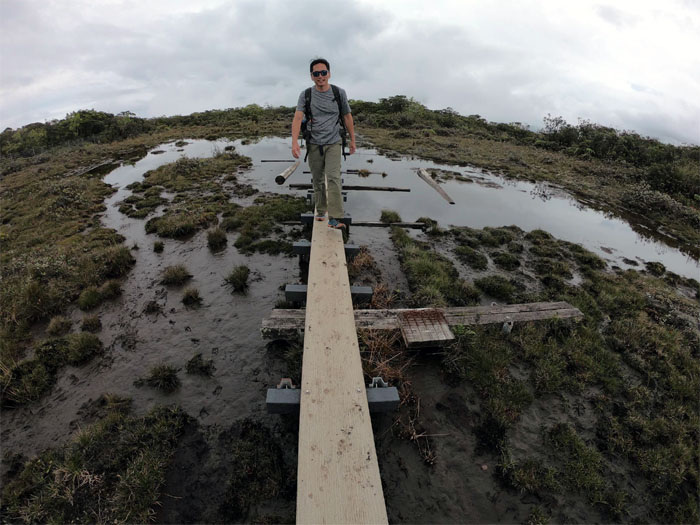
Chicken wire would be a nice touch for additional traction. Slippery when wet. Photo by Analyn Baliscao
Despite the name; Alakai Swamp is not technically a swamp, but rather a montane wet forest. Don’t ask me to explain the difference. I couldn’t for the life of me. Analyn Baliscao
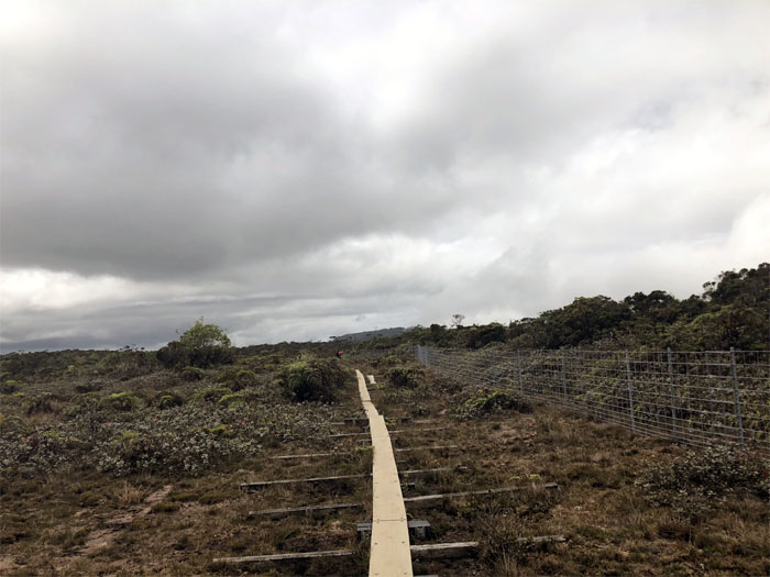
The boardwalk that was built in 1991, has seen better days.
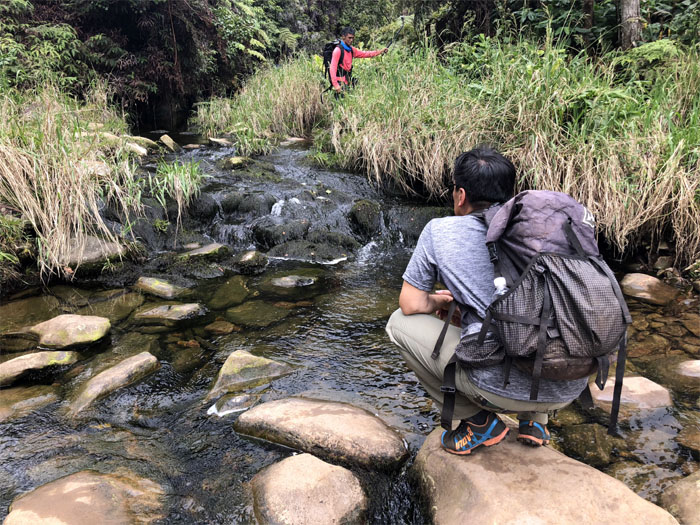
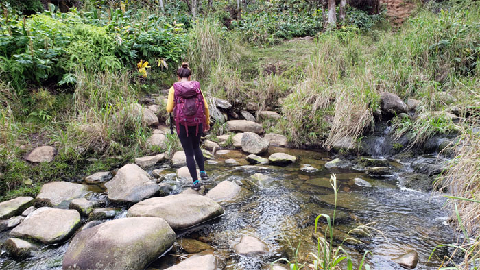
Analyn rock hopping across the stream.
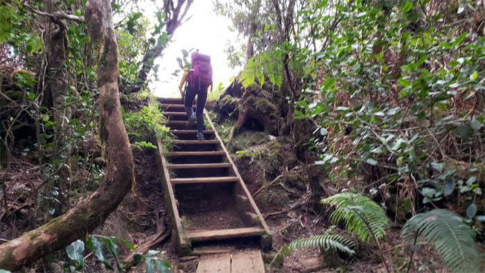
Climbing the hundreds of steps out of the forest.
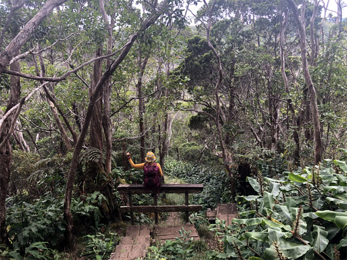
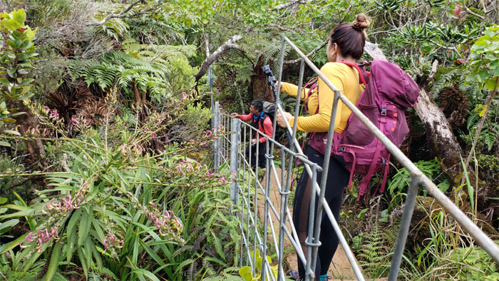
Where were these railings back when we needed them? Photo by Analyn Baliscao
If we had more time, we could have explored the other two trails. But alas, waterfalls were waiting to be photographed down the road.
Walking up the stairs that are short a few steps.
We were fortunate enough to see the lobelia flowering with its purple and white buds.
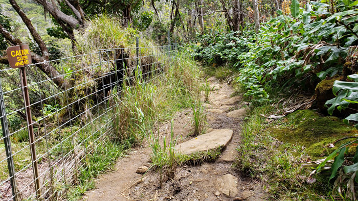
The fence line soon lead us back to the Pihea Trail.
Rooting our way back down. Photo by Analyn Baliscao
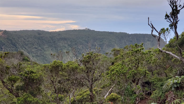
Looking across the valley towards the radome perched near the Kalalau Lookout.
Nature’s open air venue bordered by sheer cliffs that contain a valley filled with waterfalls, hippies and magical sunsets. Or so I’ve been told.
Climbing back up the roughly textured trail.
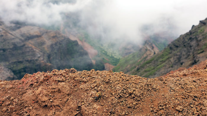
Looking back at Mount Wai’ale’ale, the spigot that makes the Alakai Wilderness Preserve so swampy.
Ferlino’s balancing act at the end of our hike. Photo by Analyn Baliscao.
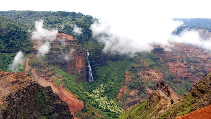
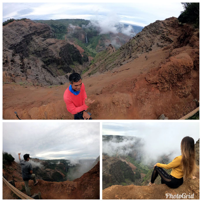
We pulled off the highway in order to soak in the views of the two-tiered 800′ waterfall cascading down to the canyon floor.
Wait for it. Patience is a virtue.
The moral of the story is always look before you sit down for your photo shoot.
Pulling off the highway again to catch another pseudo-waterfall. I have heard others call this place Dr. Seuss Falls, whatever it is, it’s not technically a waterfall but most likely part of the irrigation system that once fed the farms.
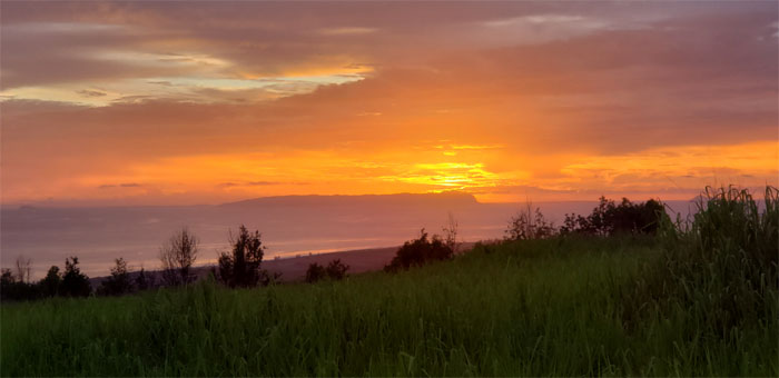
Catching the fiery sunset on our way down from Waimea.
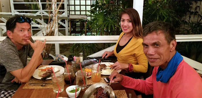
The wait was inordinately long at our post hike meal, but at least it was all you can eat salad and soup bar. The steak and fish wasn’t that bad either. Photo by Ferlino Carinio.
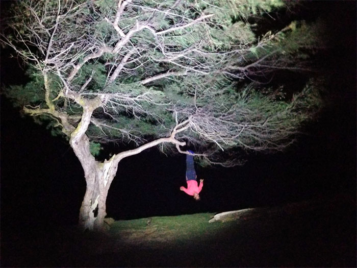
Some people like to hit the sack after a long day. Others like to hang upside down and then listen to live music and witness a natural crack. Good night from Kapaa.
Note: I have been made aware that some hikers have been using my blog as a hiking guide and getting lost on the trails. Please note that this blog was made to document the hike for the crew(s) that did it. That is why some of my comments will seem to have no relevance or meaning to anybody outside of the crew(s) that hiked that trail. My blog was never meant as a hiking guide, so please do not treat it as such. If you find inspiration and entertainment from these hikes, that is more than enough. If you plan on replicating these hikes, do so in the knowledge that you should do your own research accordingly as trail conditions, access, legalities and so forth are constantly in flux. What was current today is most likely yesterdays news. Please be prepared to accept any risks and responsibilities on your own as you should know your own limitations, experience and abilities before you even set foot on a trail, as even the “simplest” or “easiest” of trails can present potential pitfalls for even the most “experienced” hikers.





{ 0 comments… add one now }