
We carved out a chunk of the KST for Roger today. A very, very small chunk.
Maunawili
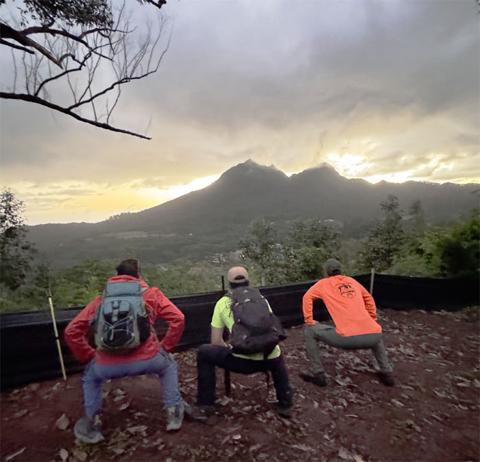
Missing the chairs. Development comes at a price.
Maunawili
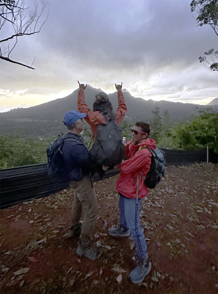
Somebody got their own princess chair.
Maunawili
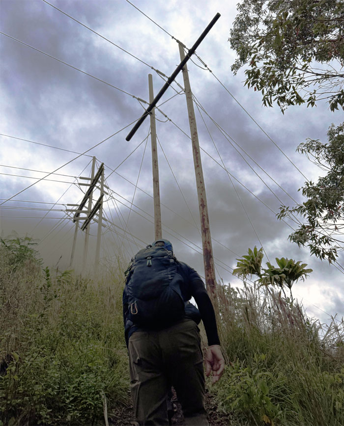
Passing underneath the powerlines. Time to cut back the brush.
Maunawili
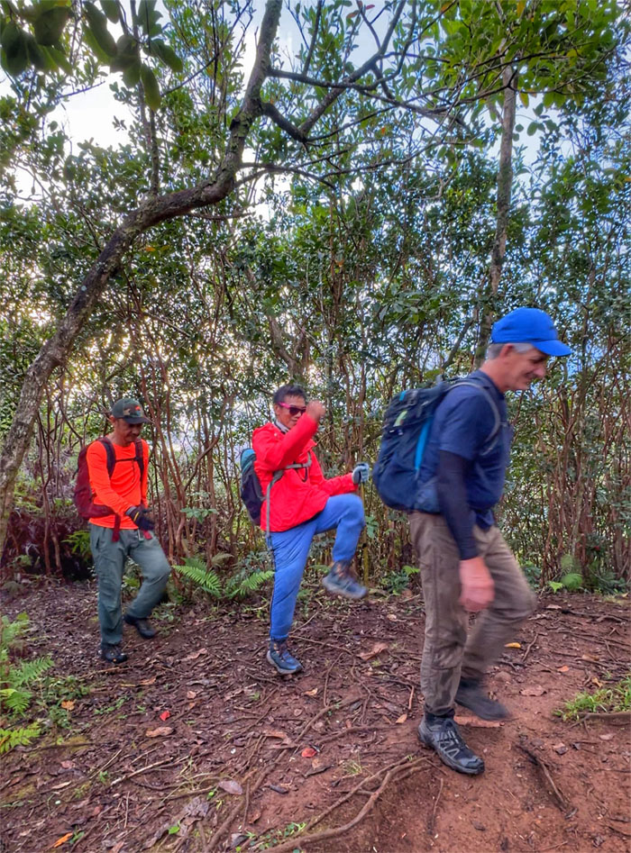
We crossed over the Maunawili Demo Trail and began our ascent on the Piliwale Trail, that was pioneered by the legendary hiker, Silver Piliwale, hence the name.
Piliwale Trail
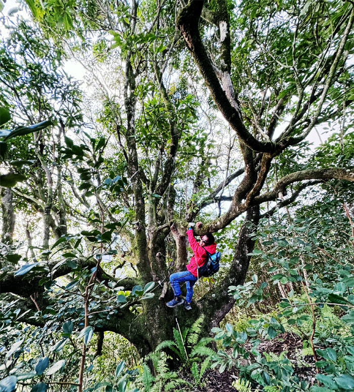
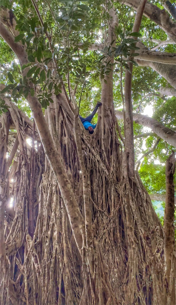
Ferlino doing what he does best. Hanging from the “Octopus” tree.
Piliwale Trail
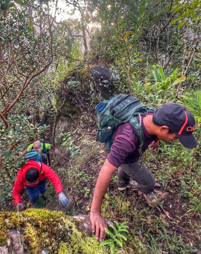
We climbed our way underneath the forest canopy over the rocks and under the hanging webbing.
Piliwale Trail
Mis-matched shoes. No wonder I was slipping coming up to the notch. The bulb is dim with this one.
Piliwale Trail
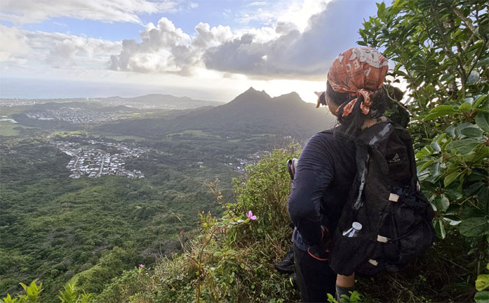
Tessa looking back at the divided hill.
Piliwale Trail
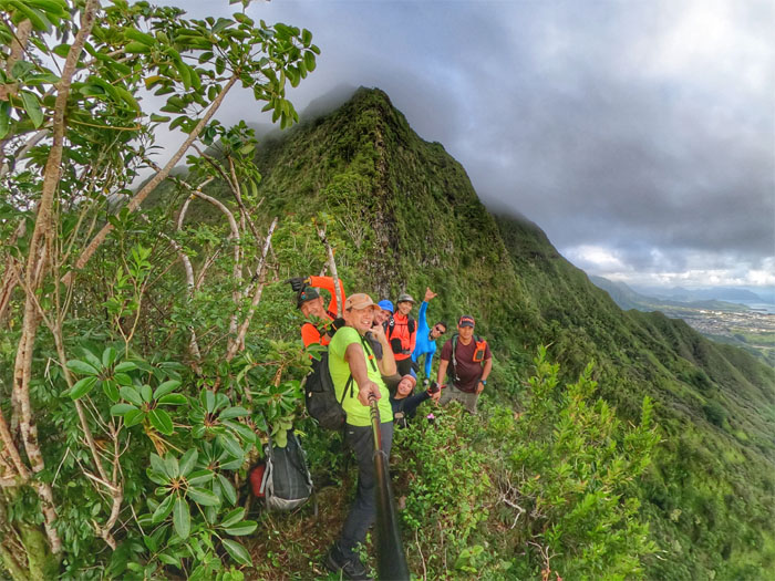
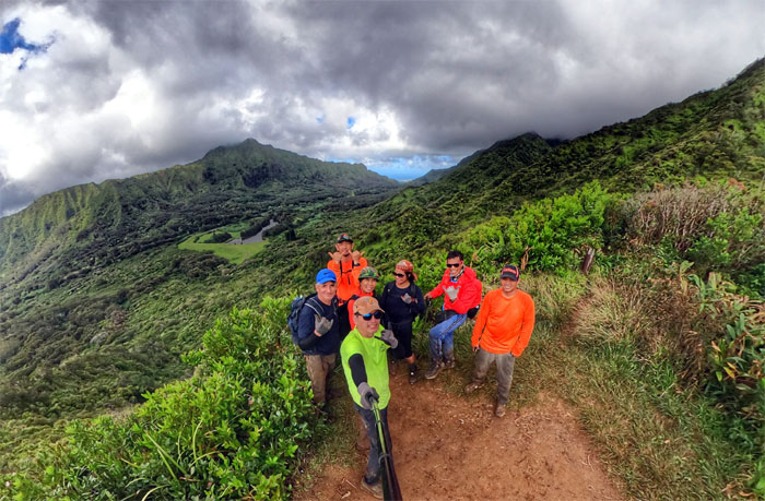
Group photo on the postage stamp sized notch with the seemingly too steep Windward ridge behind us.
Piliwale Trail
Dropping and contouring around the notch to begin our climb up the ridge.
Piliwale Trail
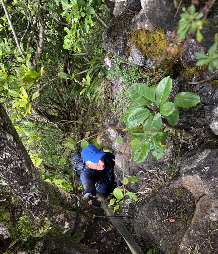
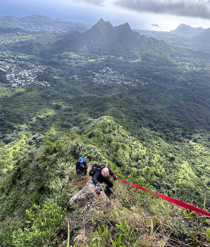
Roger pulling himself up onto the rocks.
Piliwale Trail
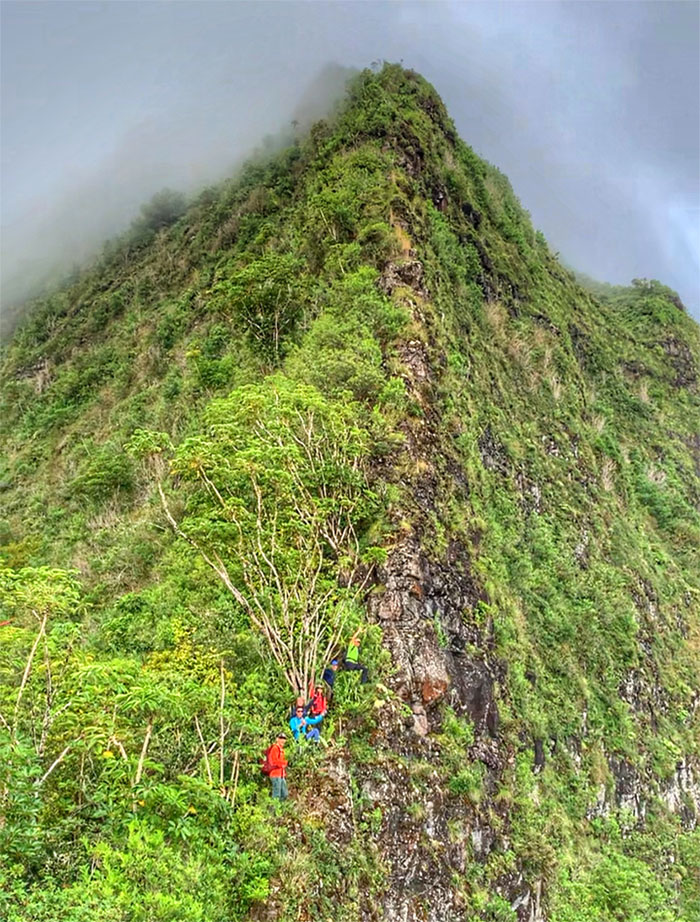
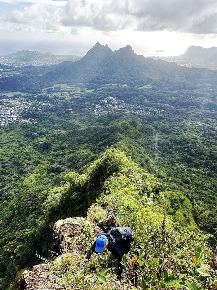
Can you see the hikers for the mountain?
Piliwale Trail
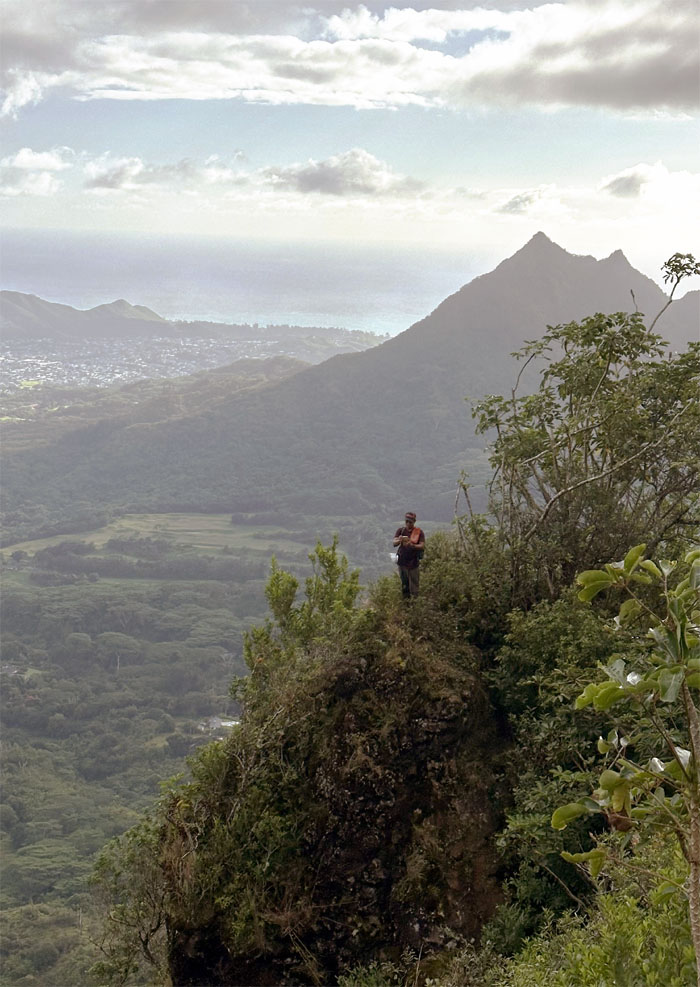
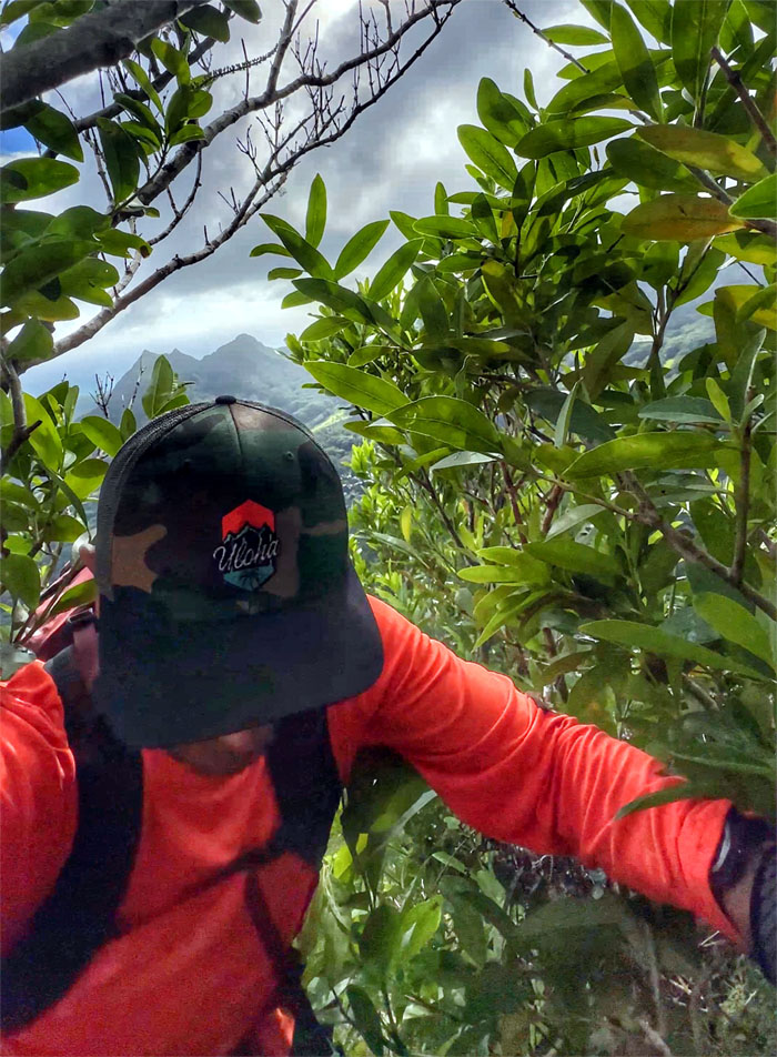
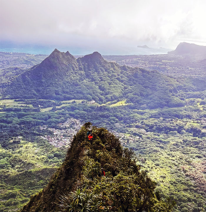
Looking back at CB with the twin peaks of Olomana and Paku’i behind him.
Piliwale Trail
Roger coming up the “traditional” way.
Piliwale Trail
Aida going the “princess” way.
Piliwale Trail
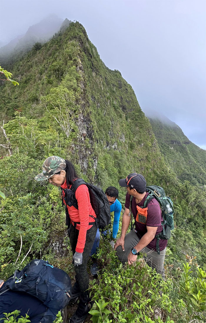
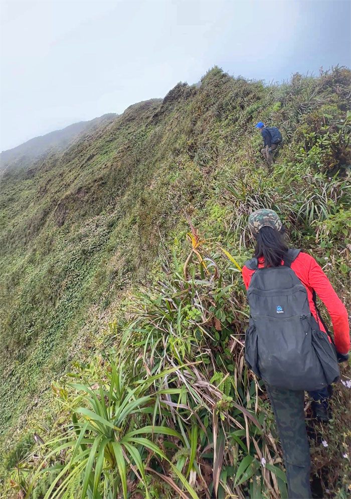
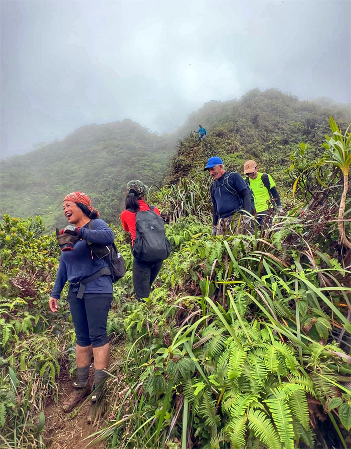
The steady inexorable climb to the summit as we slowly and surely gained elevation with each step.
Piliwale Trail
Aida and Roger scrambling up the rocks.
Piliwale Trail
Akira pulling himself up the ridge with the help of the trees.
Piliwale Trail
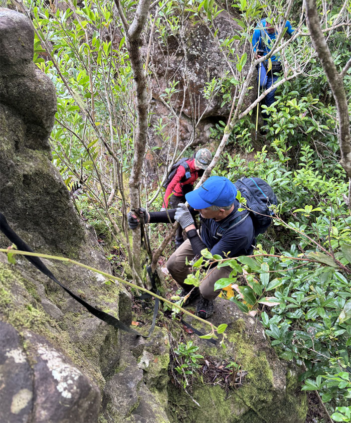
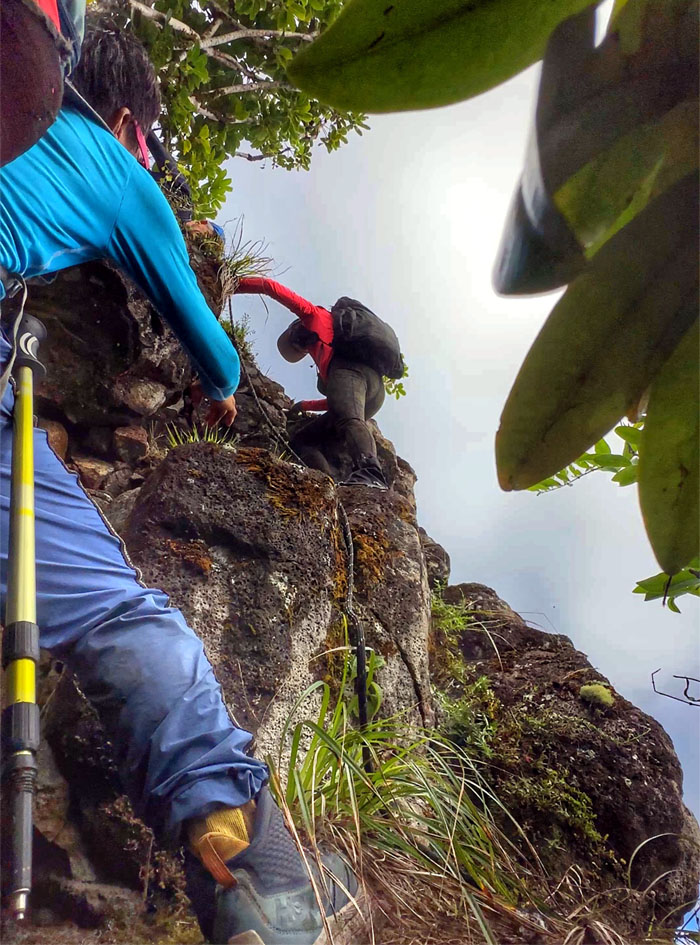
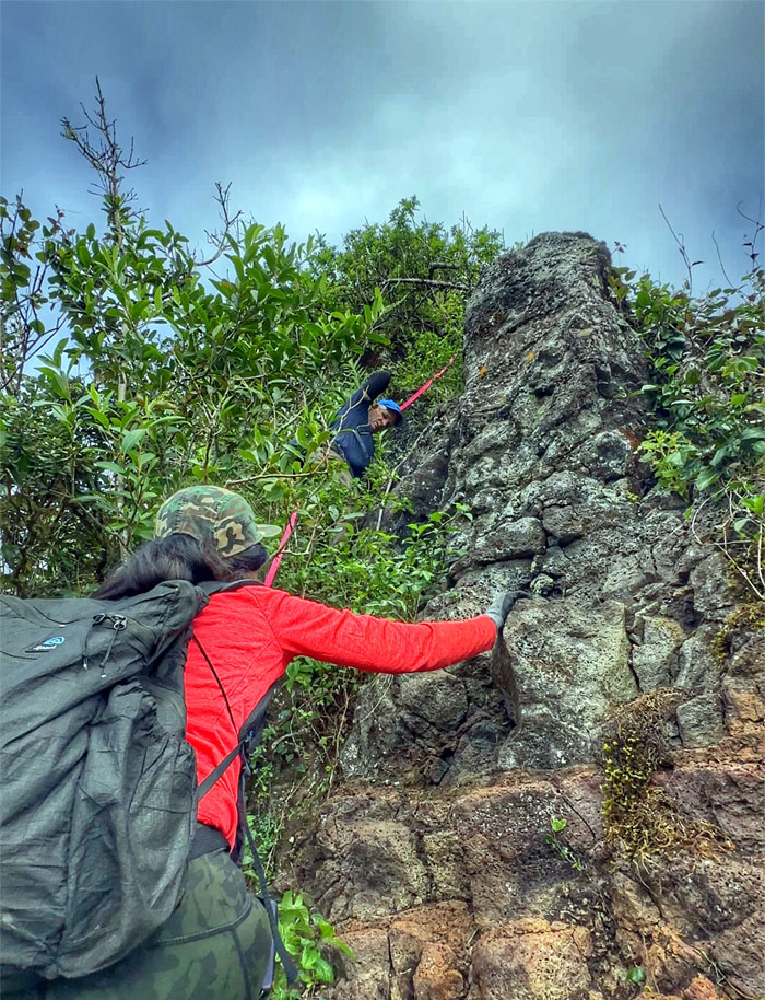
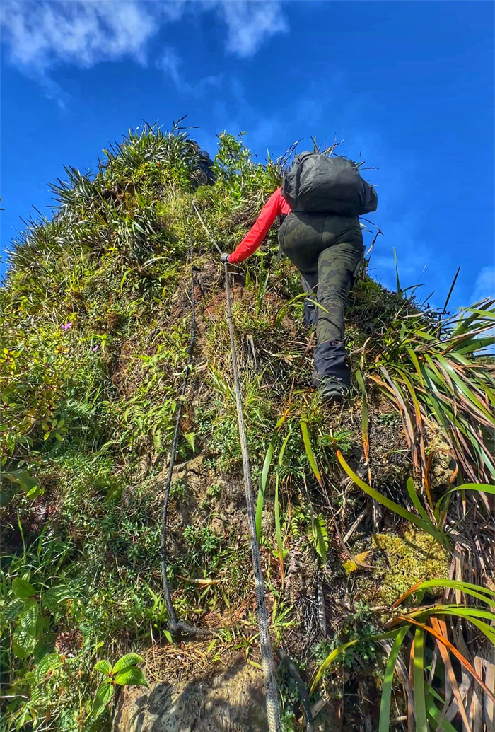
Going up the “tricky” rock that gave some problems in the past, but somebody has kindly left webbing for others to use.
Piliwale Trail
Tessa climbing her way up and over the rock.
Piliwale Trail
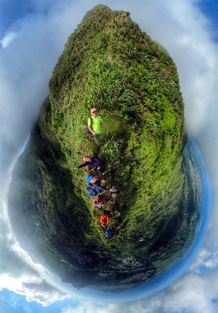
Group photo on probably one of the narrowest sections of the ridge.
Piliwale Trail
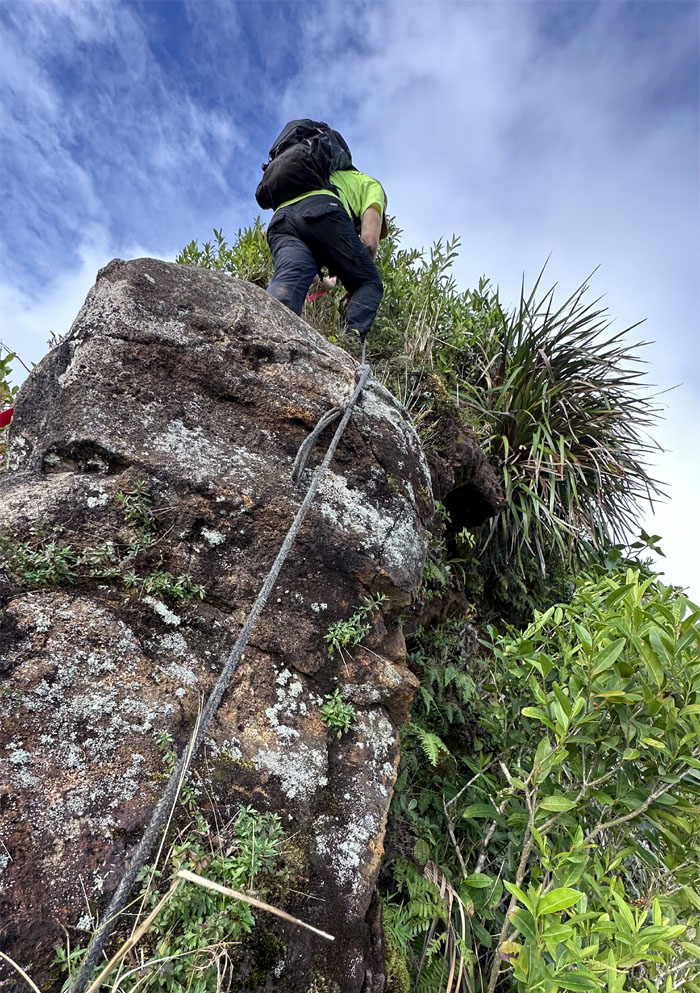
Some of these ropes are in bad shape, best to sharpen your climbing skills.
Piliwale Trail
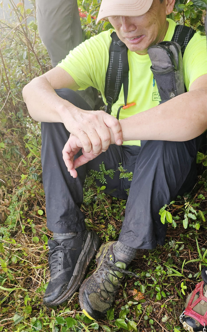
The group enjoying a respite from the steep climb as they go over a relatively flat spot.
Piliwale Trail
Approaching the junction with the Ko’olau Summit Ridge Trail.
KSRT
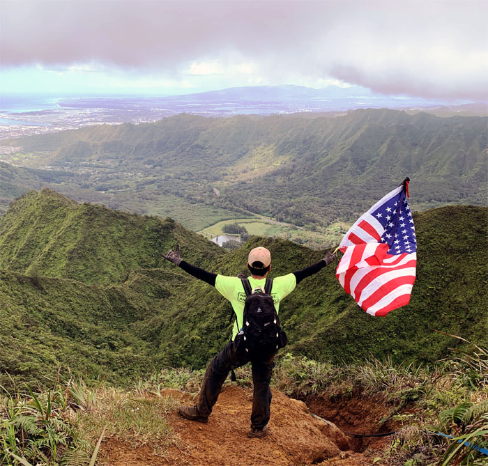
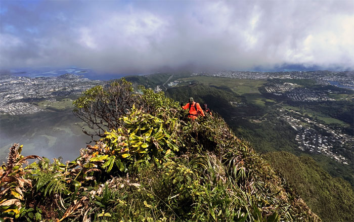
The views were cooperating as we neared the summit of the highest peak on the Ko’olau Mountain Range.
Konahuanui
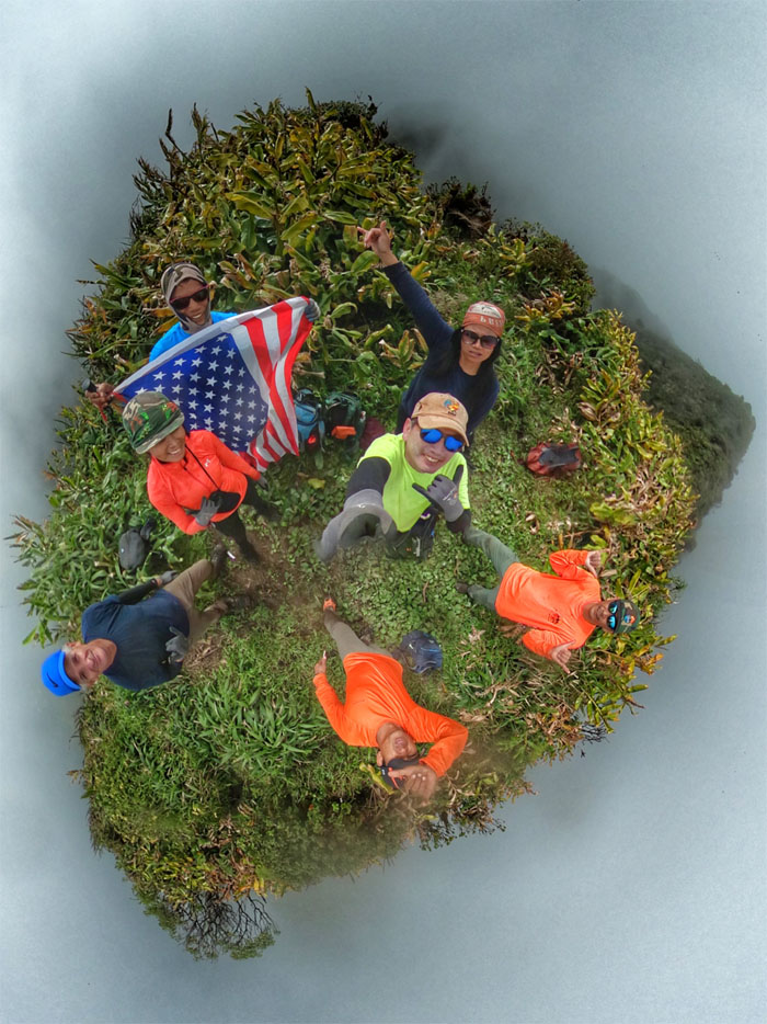
Cooperation denied as we took our group photo on K1 at an elevation of 3,150′.

KSRT
Traversing between the “two giant testicles” whose name originates with a Hawaiian legend that a giant threw them at a wahine he was chasing and they landed and became K1 and K2 respectively. I guess courtship was different back in the day.
K2
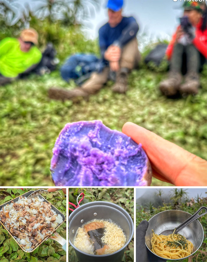
Having our assorted lunch on one of the Schweddy Balls at 3,105′ elevation.
K2 Trail
Descending down off the twin summits as “nana baket” trailed us in the back.
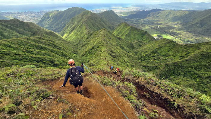
K2 Trail
The middle section of the trail was deeply rutted and would give MMR a run for its money.
K2 Trail
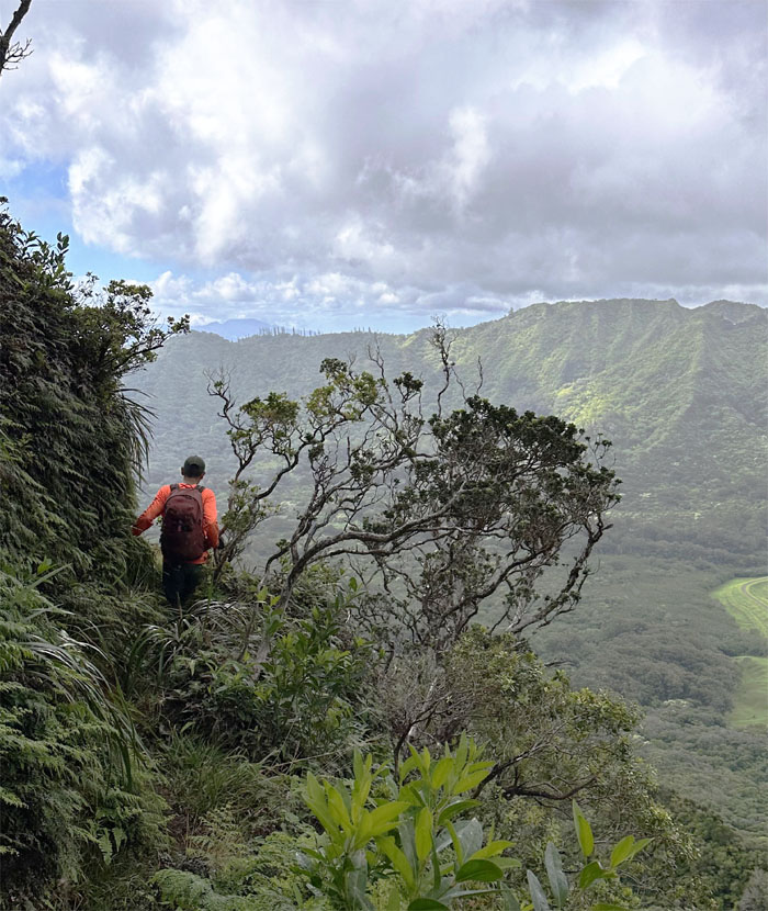
Winding our way through the mountains where we glimpsed Upper Lulumahu Falls flowing in the forest below us.
K2 Trail
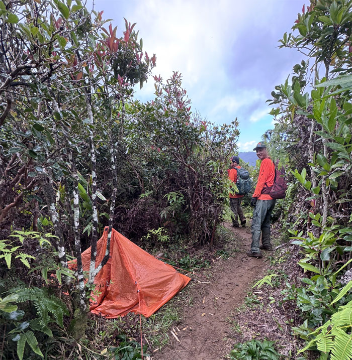
Passing a tent that sheltered either a homeless person or a hiker, regardless that person was probably TP’ing the trail with their used toilet paper. Not a pleasant sight.
Nu’uanu Overlook
Group photo with Dam #4 in the background that was completed in 1910 to prevent flooding and store water for the community.
Pauoa Flats Trail
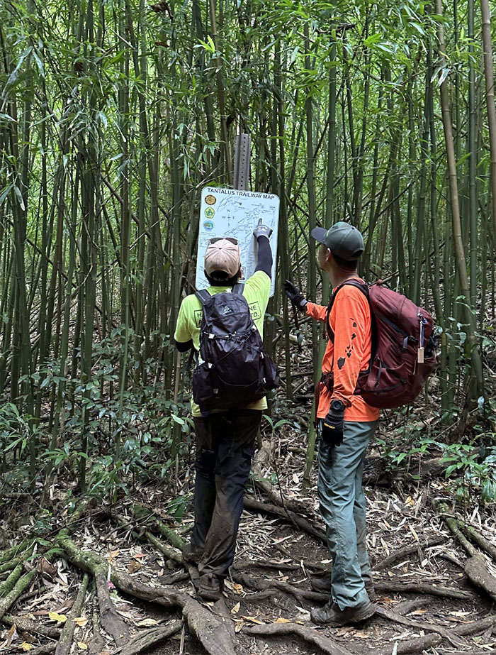
We are here. Decided to take the slightly longer exit as the shorter one provided navigational challenges to our ride that was picking us up.
Aihualama Trail
Ferlino proving that age is just a number.
Manoa Falls
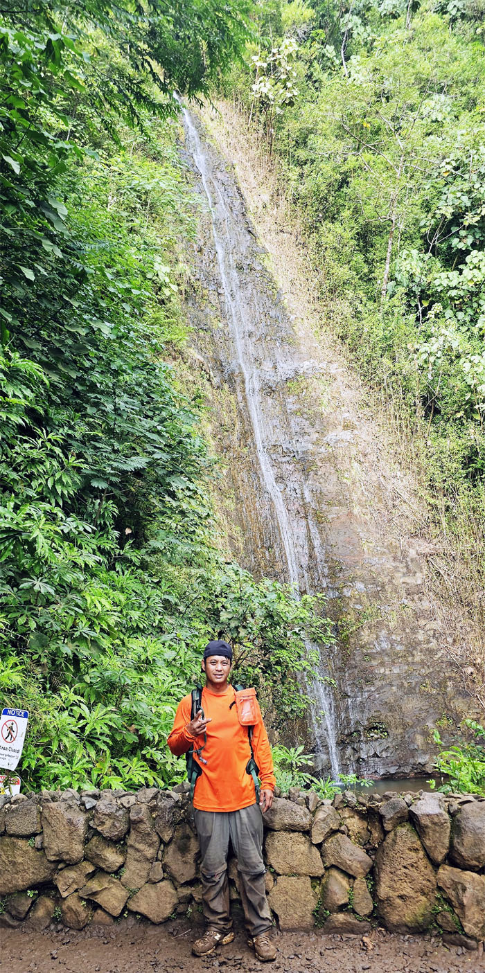
CB standing in front of the 150′ waterfall that was barely flowing. Disappointed tourists in the house.
Manoa Falls Trail
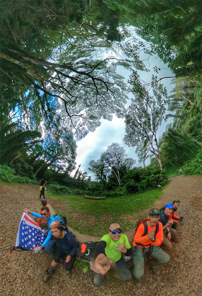
Our last group photo of the day underneath the lush landscape and towering trees that provided the backdrop for some scenes from Jurassic Park.
All pau
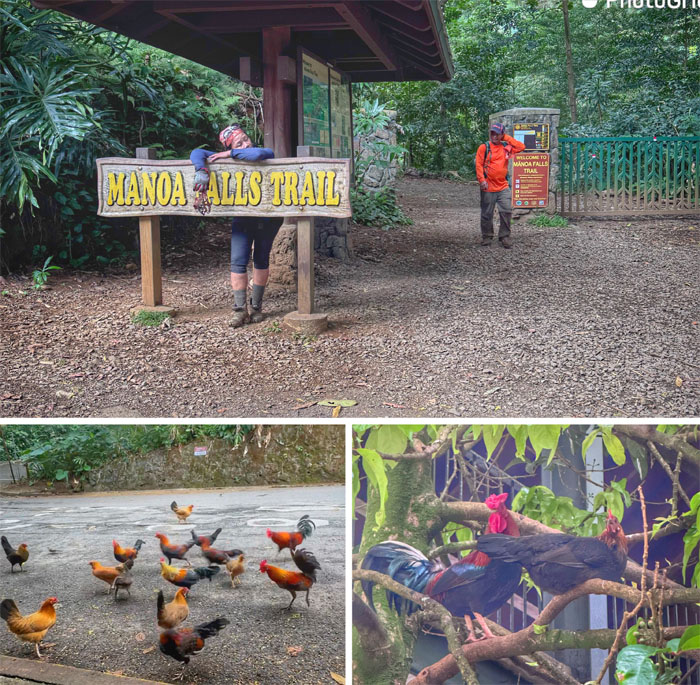
We waited with the mosquitoes and feral chickens at the end of our hike for our rides.

GPS Tracks
Our shorter than expected hike today took us from Maunawili to Manoa and covered 6.26 miles with a solid group. Post hike meal was at Plan B due to lack of parking. Better than expected food at Nishi Moncho Ramen.
Photos taken by Aida Gordon, Akira Suzuki, Chris Bautista, Ferlino Carinio, Roger Schiffman, Tessa Bugay and yours truly. Not necessarily in order.
Note: I have been made aware that some hikers have been using my blog as a hiking guide and getting lost on the trails. Please note that this blog was made to document the hike for the crew(s) that did it. That is why some of my comments will seem to have no relevance or meaning to anybody outside of the crew(s) that hiked that trail. My blog was never meant as a hiking guide, so please do not treat it as such. If you find inspiration and entertainment from these hikes, that is more than enough. If you plan on replicating these hikes, do so in the knowledge that you should do your own research accordingly as trail conditions, access, legalities and so forth are constantly in flux. What was current today is most likely yesterdays news. Please be prepared to accept any risks and responsibilities on your own as you should know your own limitations, experience and abilities before you even set foot on a trail, as even the “simplest” or “easiest” of trails can present potential pitfalls for even the most “experienced” hikers. One should also always let somebody know of your hiking plans in case something doesn’t go as planned, better safe than sorry.
{ 3 comments… read them below or add one }
Nice write up! With the webbings and ropes this hike seemed like it got easier. Always a beautiful day with the group. Awesome views!
Thanks Kenji. It was a fun day with great group….maybe next time we make it to Wiliwili….or not!
Thank you for the laugh Kenji.. those mix matched shoes and kuya being the NANA BAKET, man! I can’t stop laughing. You guys are so much fun to be with!