Met up with Tessa to see how far we could go today in the mountains.
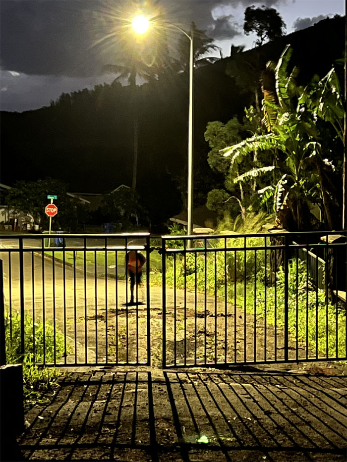
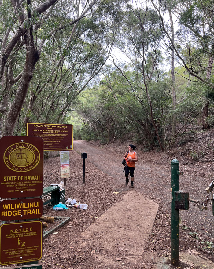
We showed up too early for the open house viewing. I guess we have to pass on the $875,000 lots. Too affordable for our pockets.
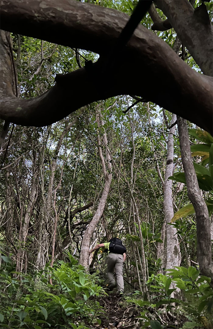
Going up the ridge pioneered by the legendary hiker, Silver Piliwale.
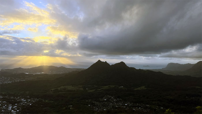
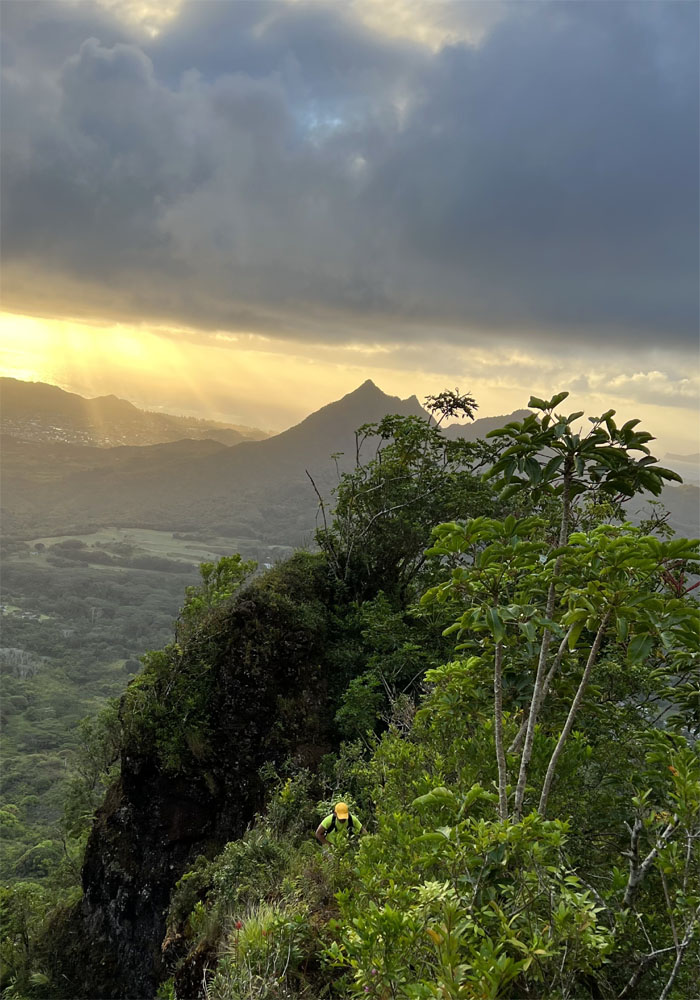
Catching the breaking sunrise as we started to gain elevation in the mountains.
Straddling the notch as we looked at the seemingly steep climb ahead of us.
Traversing the notch with the sun behind my back.
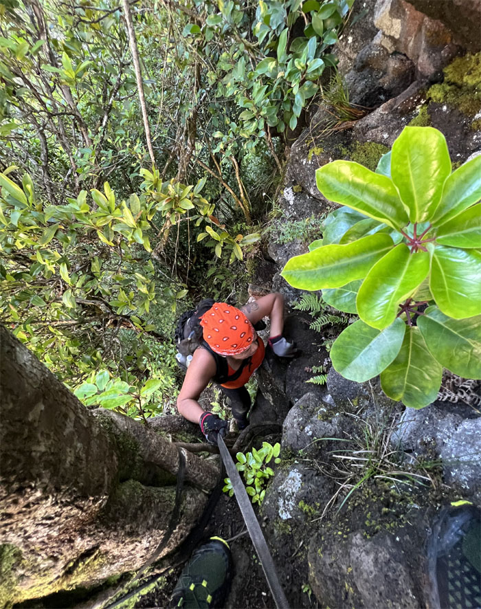
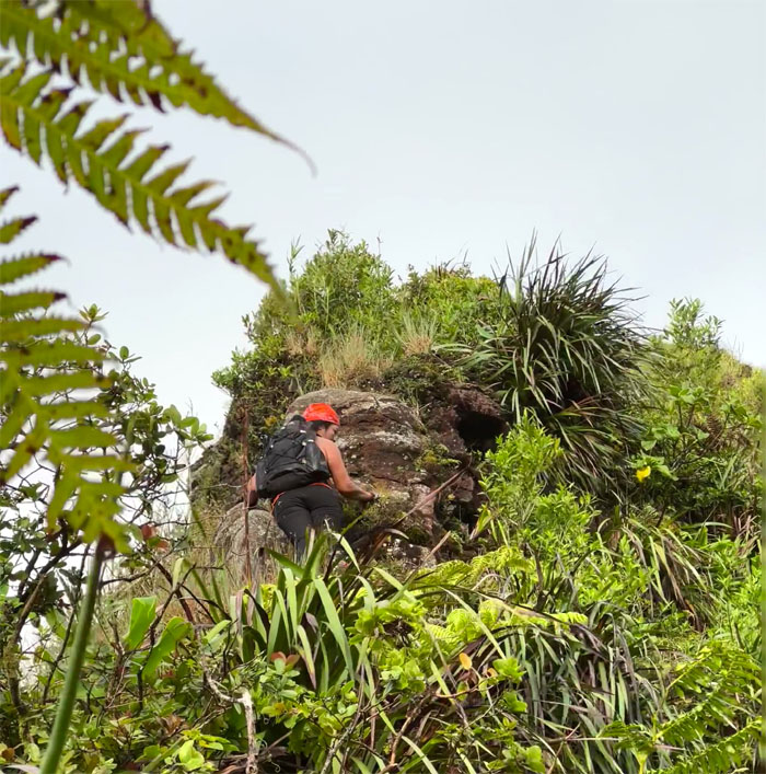
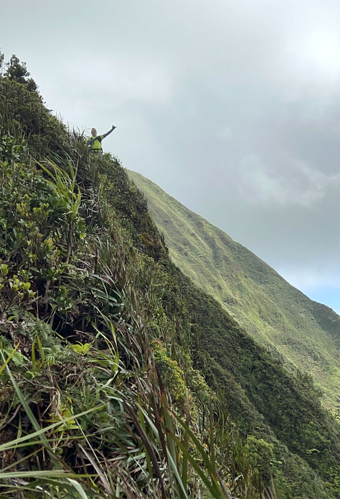
Tessa pulling herself up the side of the rockface.
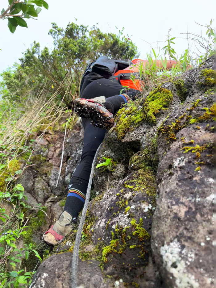
Scrambling up and over another rockface.
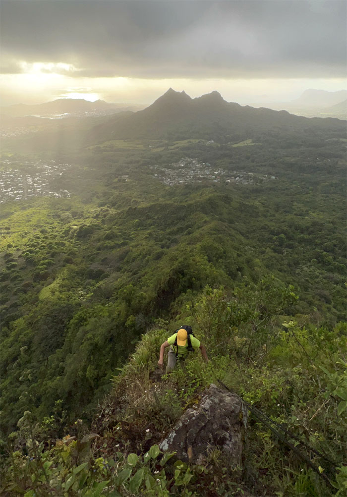
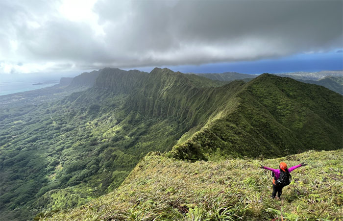
Climbing up the ridge with the three peaks of Olomana, Pakui and Ahiki behind me.
Tessa working her way around the “tricky” rock.
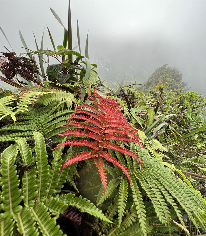
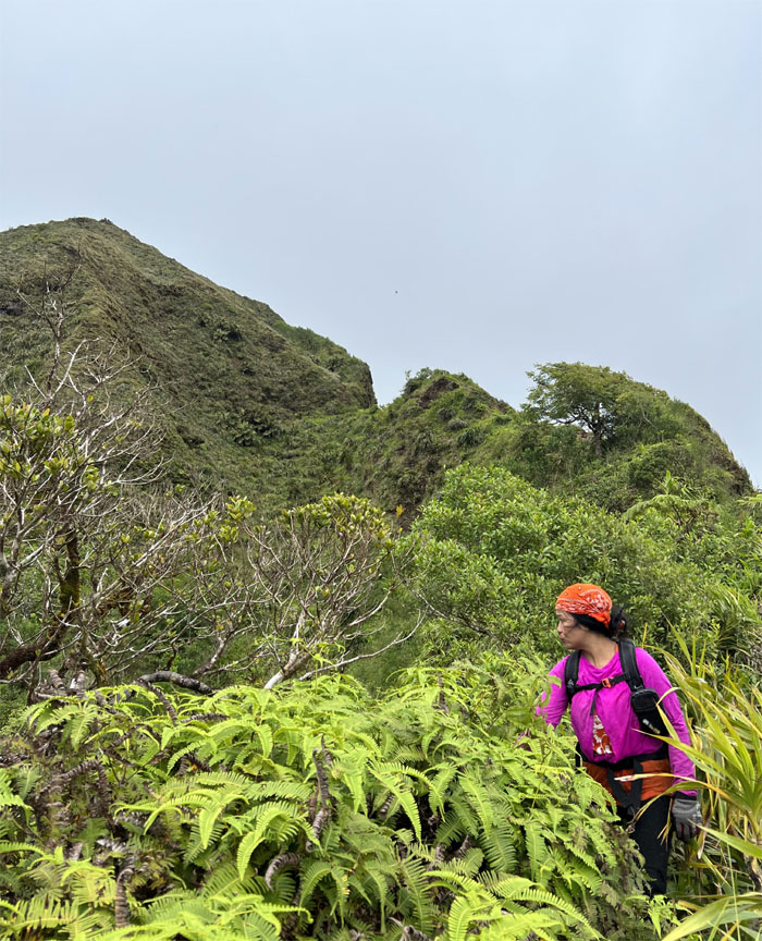
Where the red fern grows.
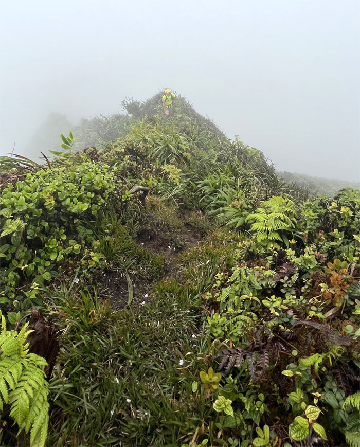
Making the final push to the junction that will connect us to the Ko’olau Summit Ridge Trail.
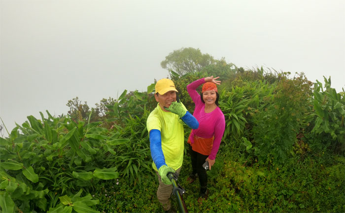
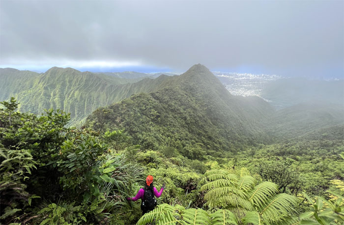
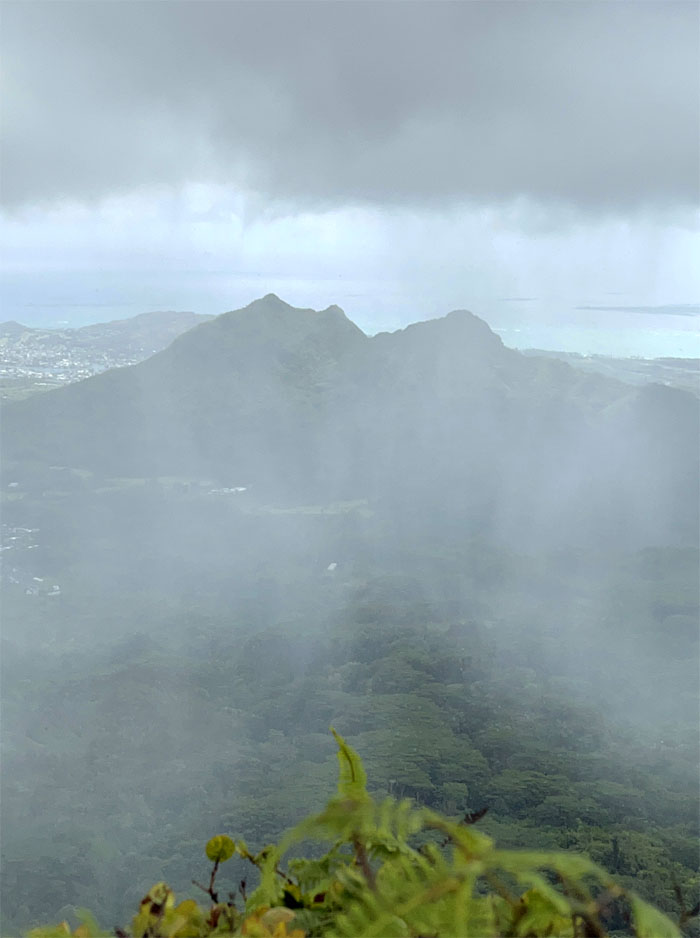
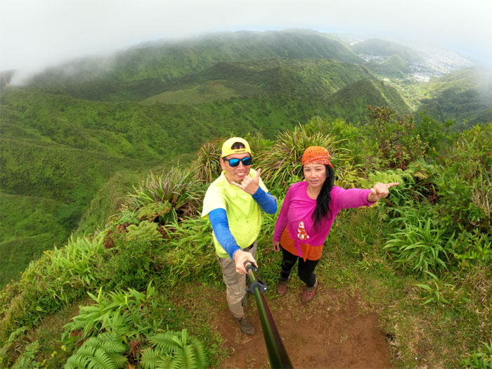
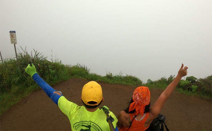
Enjoying the white out views at the highest peak on the Ko’olau Mountains.
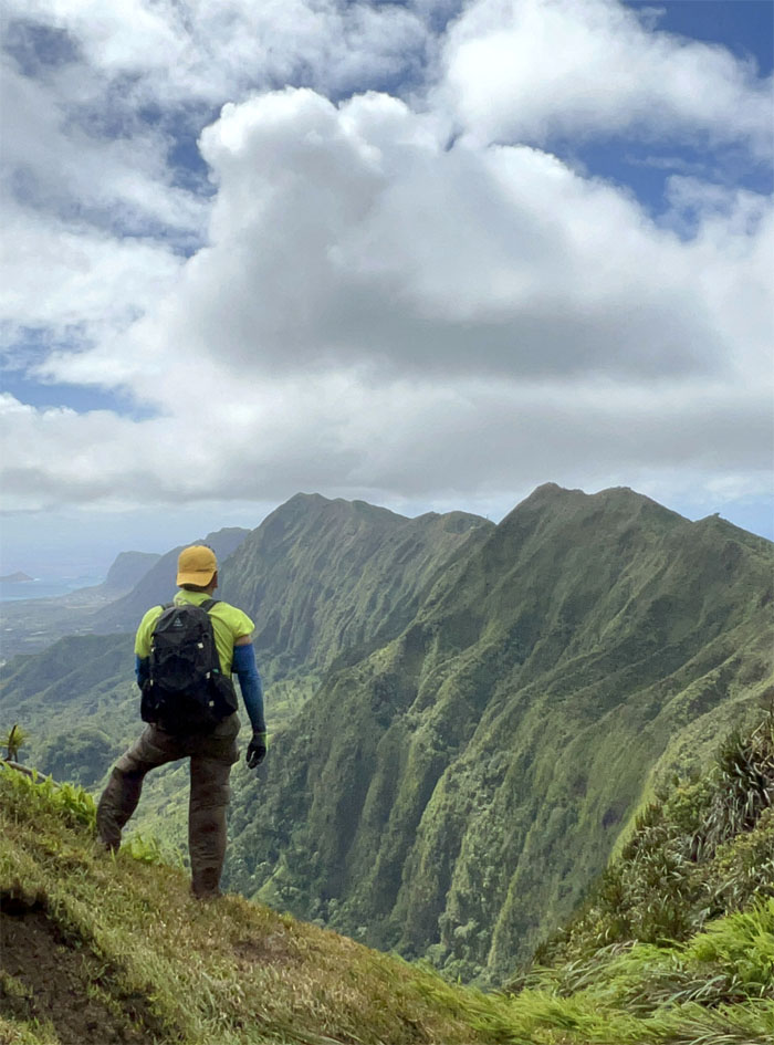
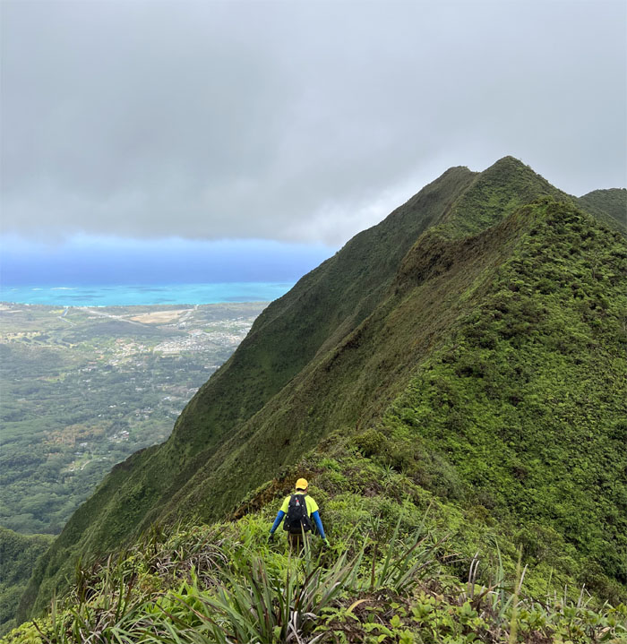
We humped our way over the two large testicles as the views soon opened up for us.
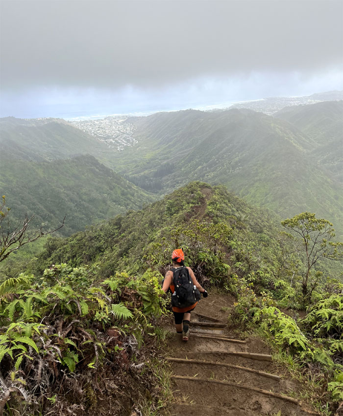
Comin’ down the mountain.
Breaking out into one of the many small meadows that dot the mountains.
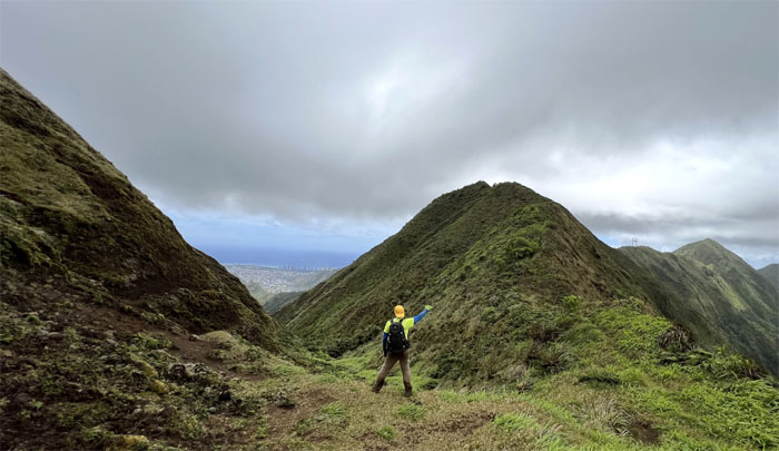
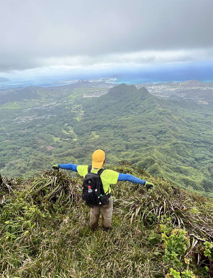
Trying to hold my ground as the wind gusts tried to prove me wrong.
Rain, rain go away. The nursery rhyme actually worked as the rain showers kept their distance and stayed off the mountains.
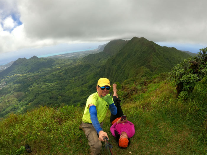
Somebody had to air their feet out. Glad the wind was blowing in the other direction.
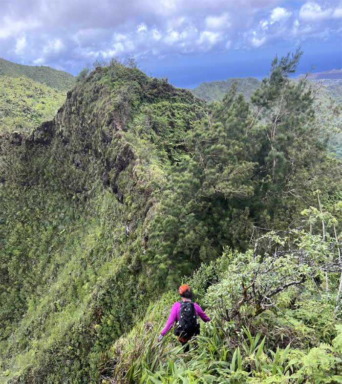
Tessa making her way towards the stand of pine ridges that interrupted the ridge line. We also kicked the tires on sedan rock after the tree line and resumed our hike.
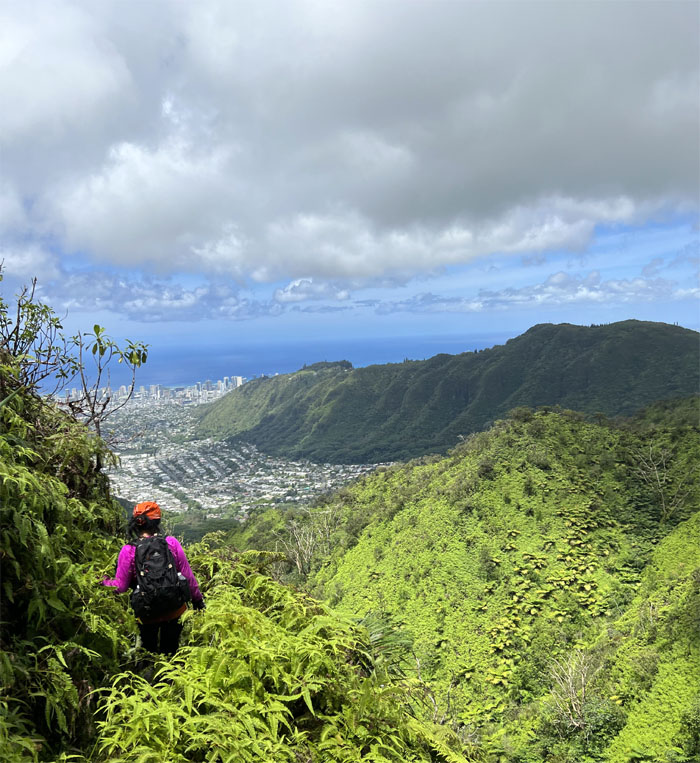
Contouring our way on the Castle Trail while enjoying views of Manoa Valley and points beyond.
Connecting to the Wa’ahila Ridge Trail.
Summit view of the extinct crater and Palolo Valley behind us.
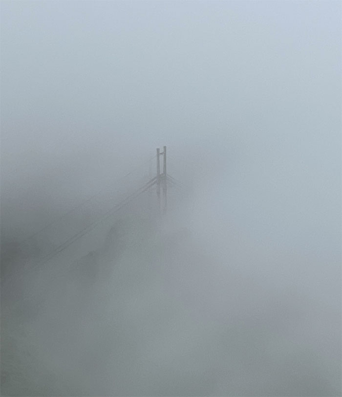
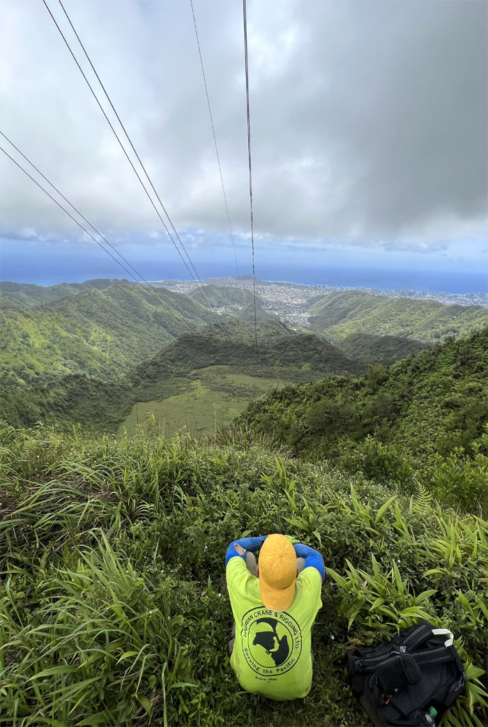
For a moment, it seemed like I was looking at the Golden Gate Bridge as the clouds glided over the power line towers.
Trying not to roll down the eroded hill. The winds weren’t helping.
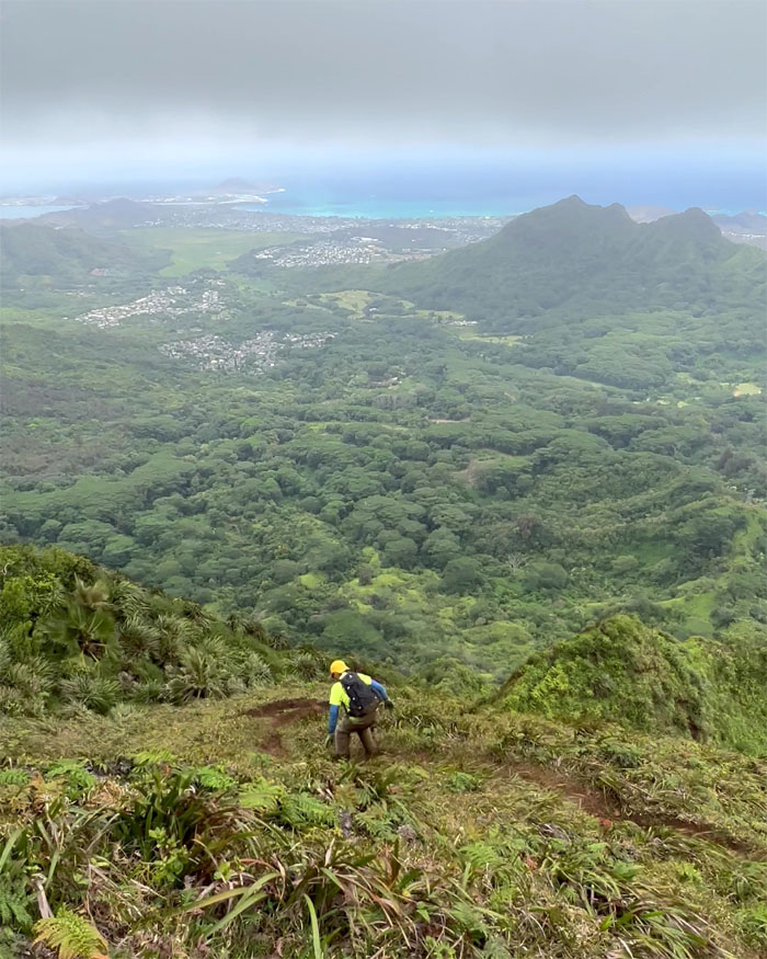
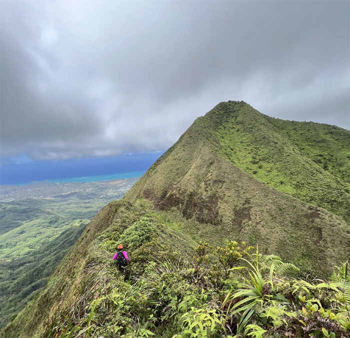
Tessa looking back at our steep descent.
Overlooking the marsh filled tuff cone.
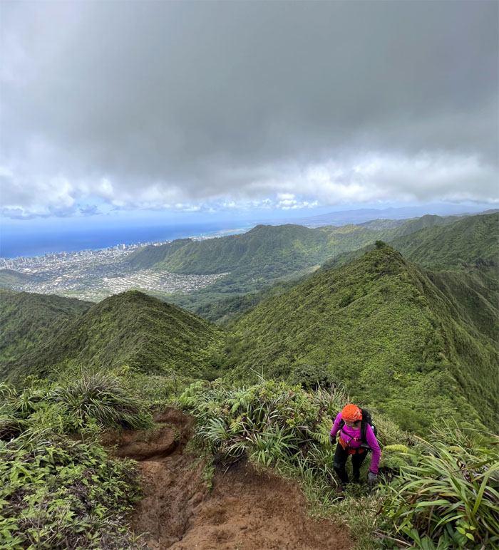
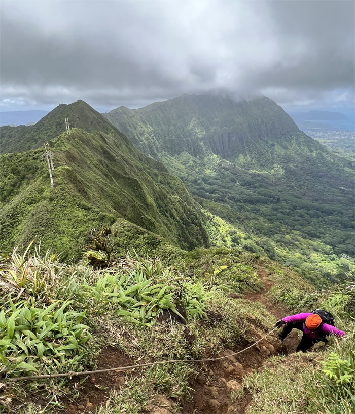
Tessa pulling herself up the rutted trail.
Making our way towards the “big hill.”
Looking out towards town and beyond.
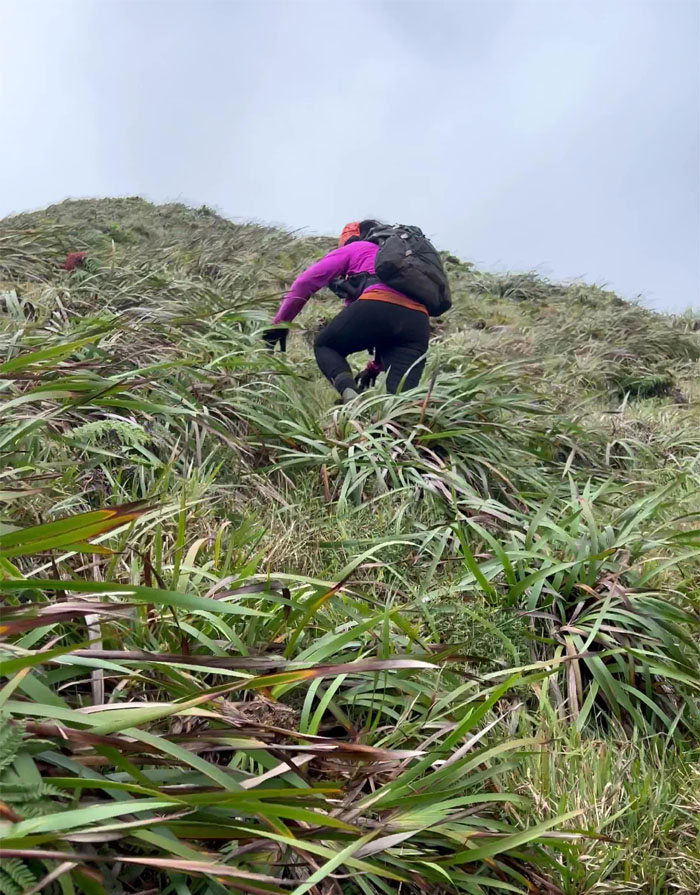
Pulling ourselves up with the abundant uki grass. Also stands in for emergency snacks as well.
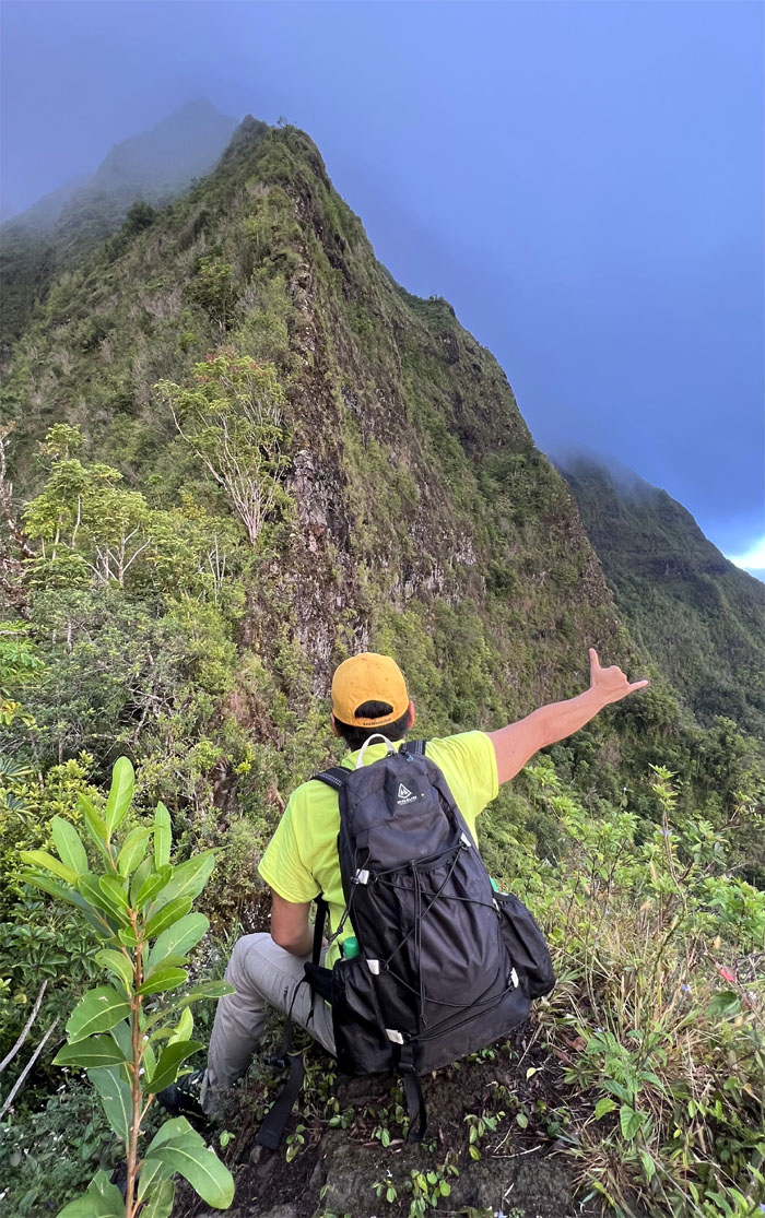
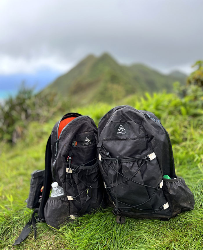
Non-paid promotion for Hyperlite Mountain Gear.
Making my way to the true summit at 2,621′.
The pipe dream has ended. Unless I get another wild hair up my arse.
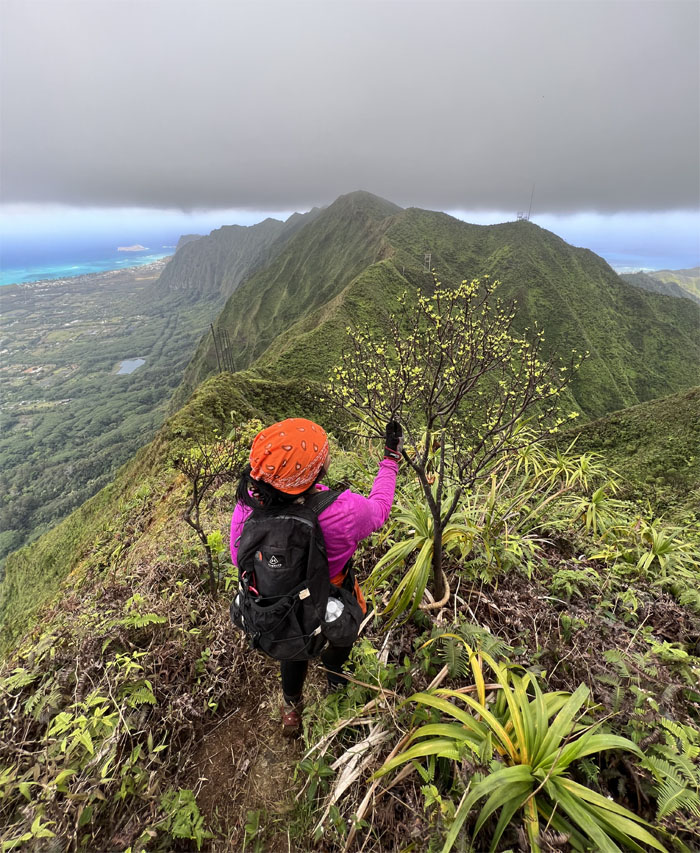
Tessa with a budding tree. Botanists we are not.
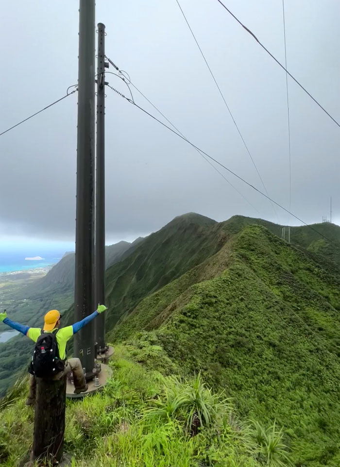
My attempts at pole sitting were short lived.
The untimely visit from Aunt Flo ended our cross-over at the 2,480′ summit.
Going down the two and half mile trail to civilization.
Erosion has taken a toll on the steps that line the hill as most of the dirt has washed away leaving the slats exposed and not too sturdy looking.
Mahalo to Art for picking us up and bringing us cold beverages which was particularly refreshing at the end of our 7.2 mile hike. Post hike meal at Kenko-ya where I brought more customers. Do I get a free sushi for my efforts?
Photos taken by Tessa Bugay and yours truly. Not necessarily in order.
Note: I have been made aware that some hikers have been using my blog as a hiking guide and getting lost on the trails. Please note that this blog was made to document the hike for the crew(s) that did it. That is why some of my comments will seem to have no relevance or meaning to anybody outside of the crew(s) that hiked that trail. My blog was never meant as a hiking guide, so please do not treat it as such. If you find inspiration and entertainment from these hikes, that is more than enough. If you plan on replicating these hikes, do so in the knowledge that you should do your own research accordingly as trail conditions, access, legalities and so forth are constantly in flux. What was current today is most likely yesterdays news. Please be prepared to accept any risks and responsibilities on your own as you should know your own limitations, experience and abilities before you even set foot on a trail, as even the “simplest” or “easiest” of trails can present potential pitfalls for even the most “experienced” hikers.


{ 2 comments… read them below or add one }
We coulda gotten ever further if I wasn’t having constant inner thigh cramps. That buggah sore lol!!
Nonetheless, was an awesome peaceful hike. I needed that time with nature. Thank you Kenji..
Aloha Tessa,
Yup, all that matters was we had a good hike.
Mahalo