It was time for a certain individual to tackle one of her biggest challenges in the mountains to date, with a little help from her friends today.
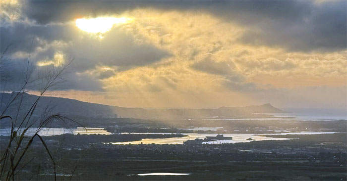
Somebody had time to snap a picture of the fiery sunrise over Ke Awa Lau O Pu’uloa (Pearl Harbor) and Le’ahi (Diamond Head).
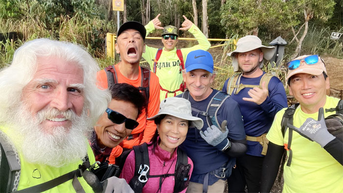
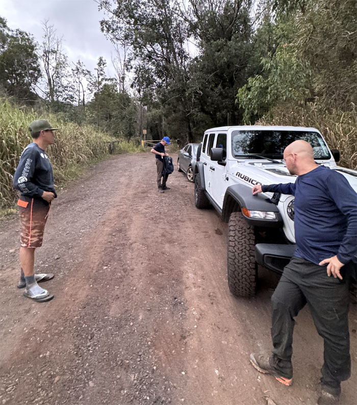
We all met up, eventually, at the trailhead to start our hike deep in farm country.
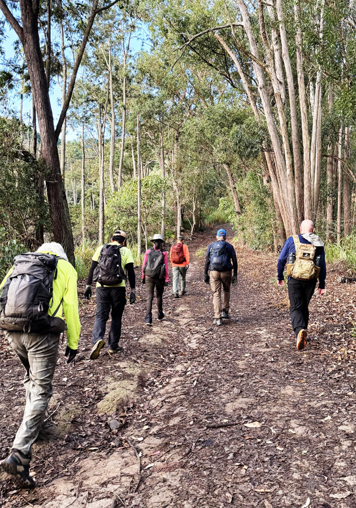
Stepping foot on the trail that actually spans from Kolekole Pass to Makakilo. We were just going to taste a piece of it today. A very small piece.
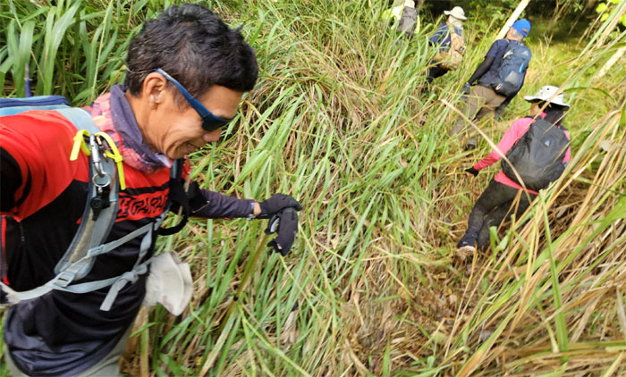
We soon left the wide open trail to plunge into the clump of itchy California grass.
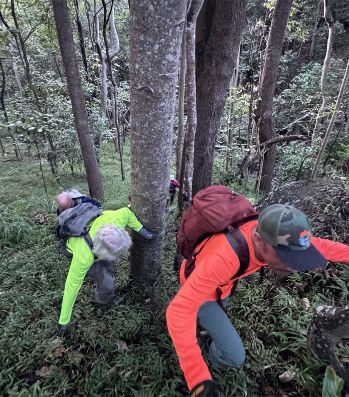
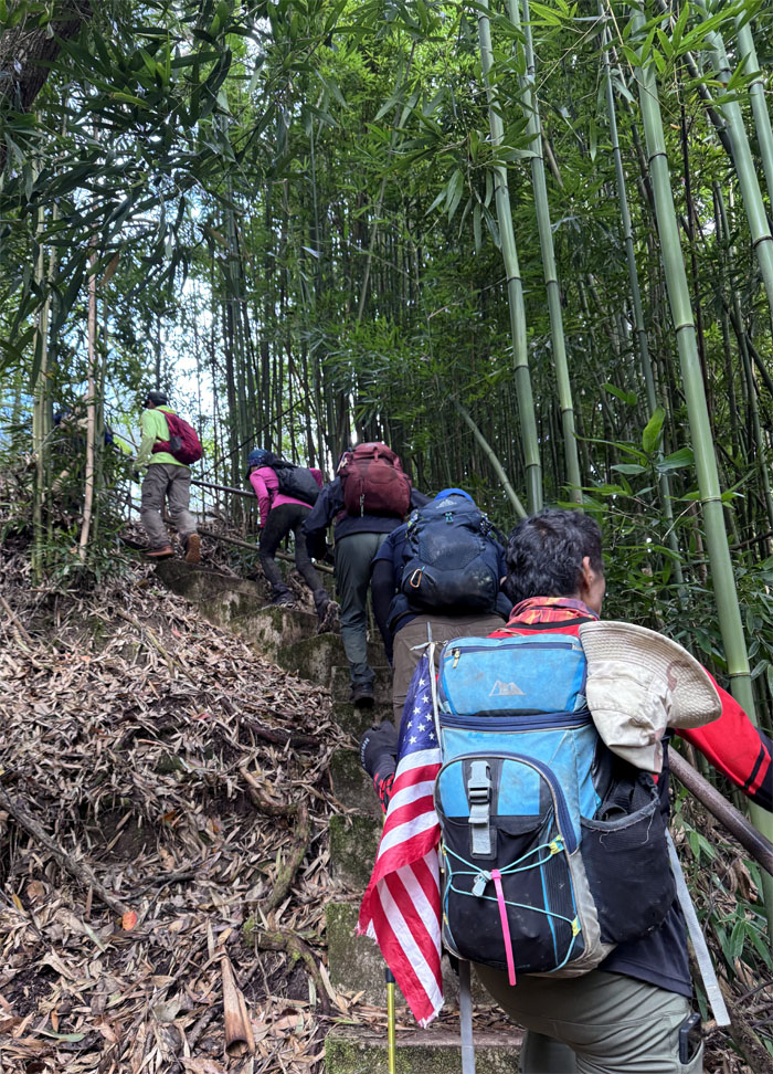
Climbing our way through the mixed forest.
Noticeably absent from my last visit was the swarms of mosquitoes that had descended and made a feast out of us, but we were too busy scrambling our way up the hill anyway.
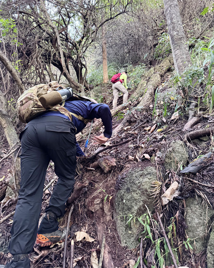
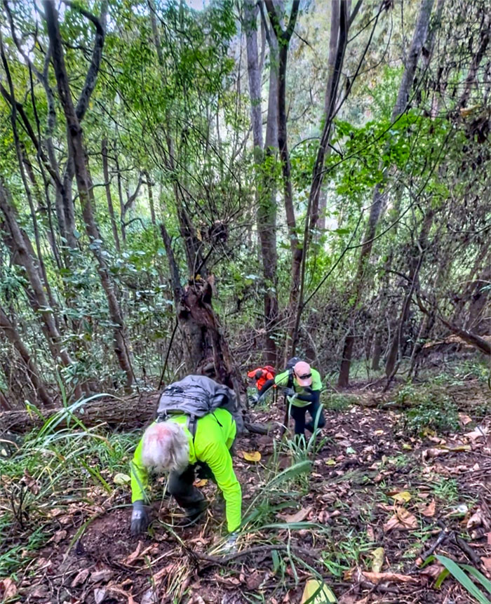
We all soon took what we perceived as the path of least resistance to make it to the top.
Matt explaining how he saw Chico dislodge two rocks the size of bowling balls that rolled towards Aida and Roger. Split. Not a strike.
We eventually joined up with the WST.
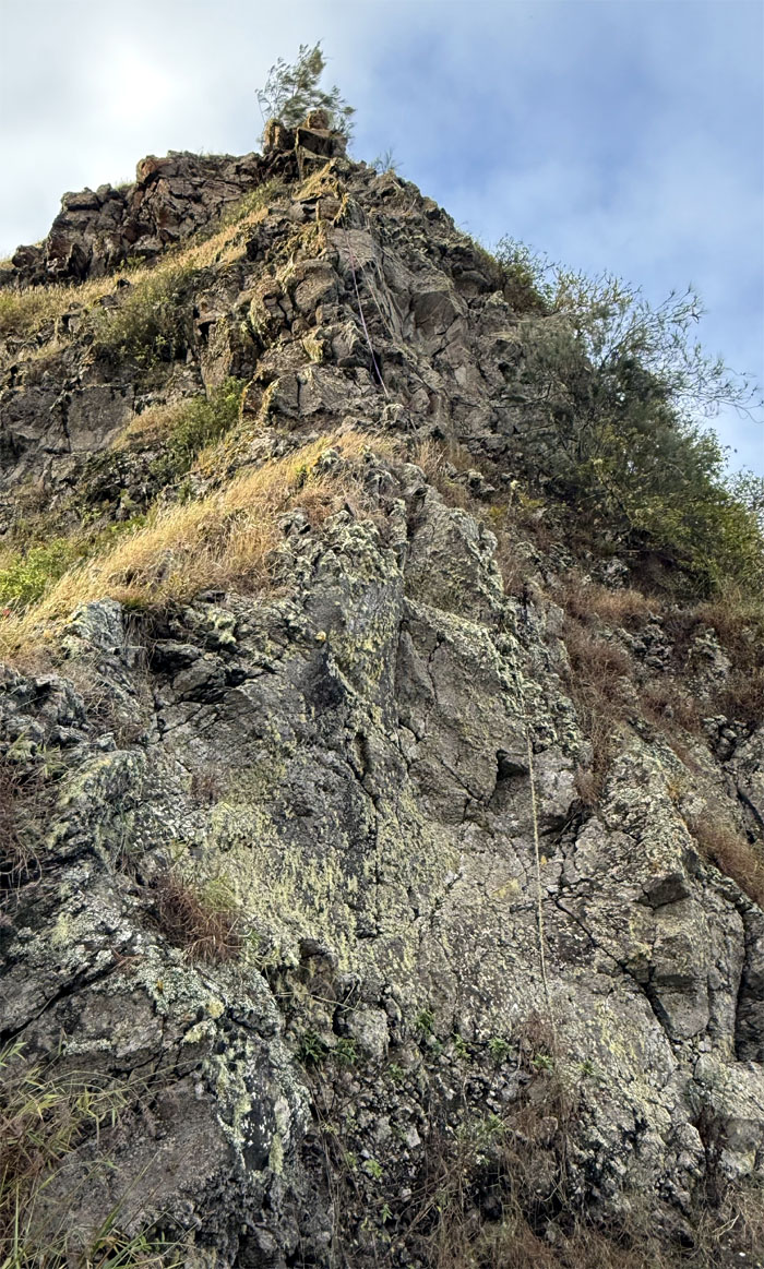
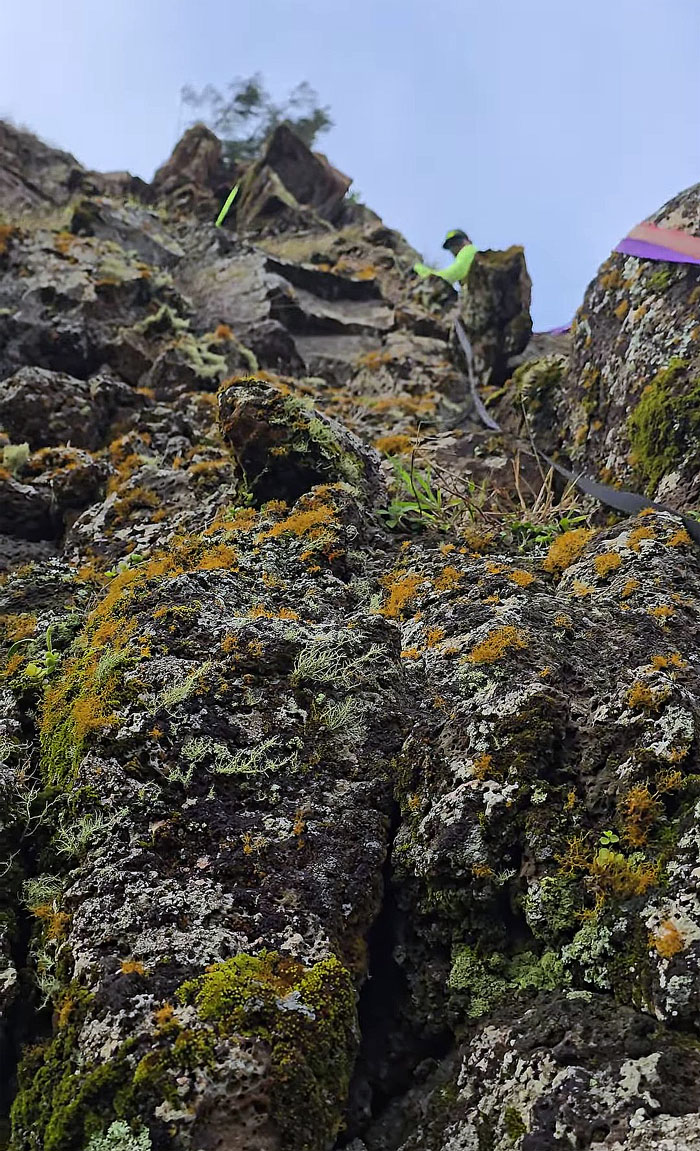
Looking ahead to the 80′ crumbly cliff that loomed ahead of us.
Matt climbing up to the base of the pass.
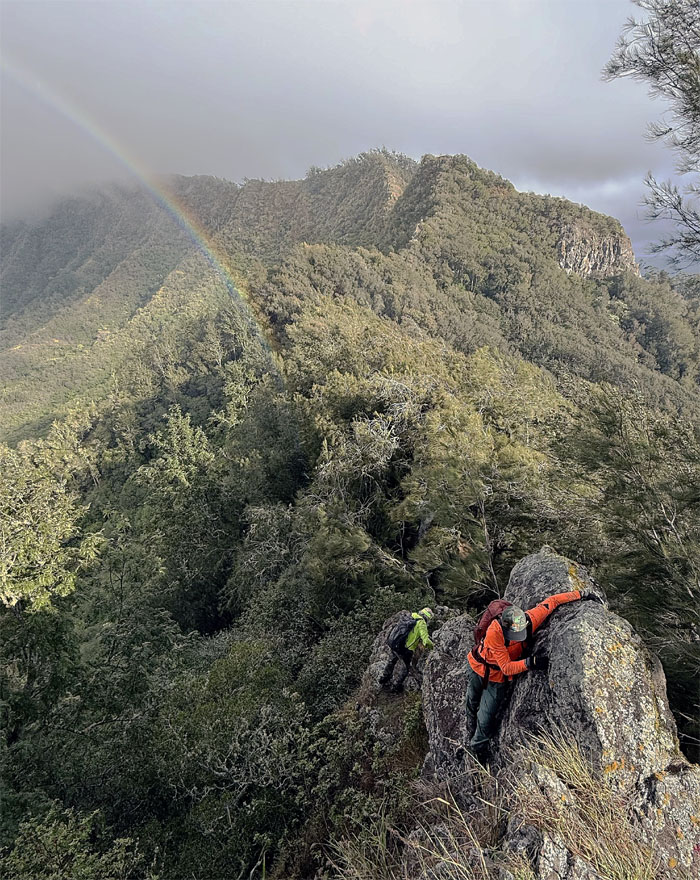
Akira and Chico making their way to the base with a rainbow in the background. Just don’t send any rain showers our way.
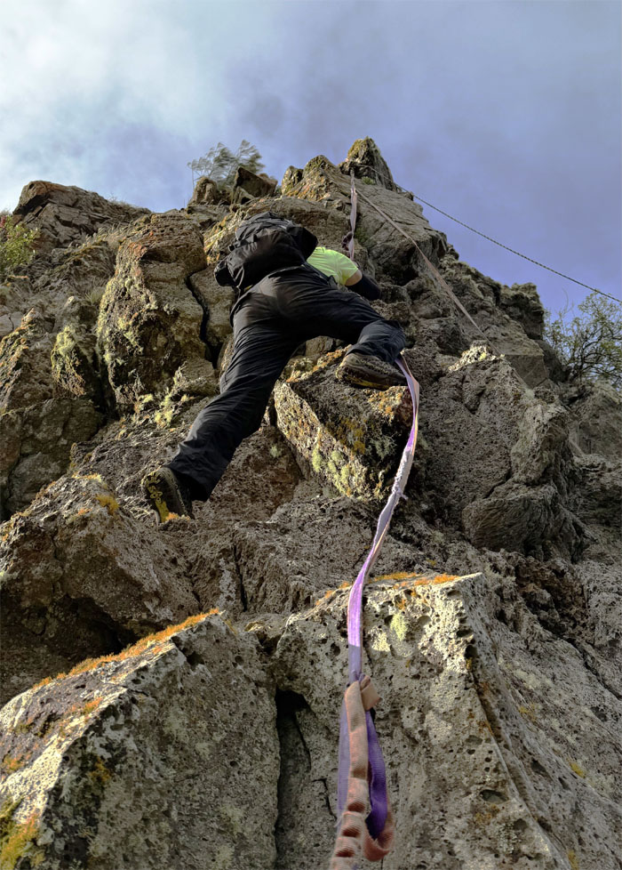
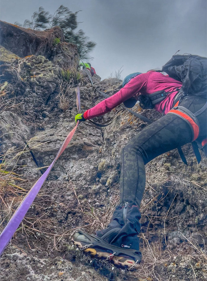
Climbing my way up.
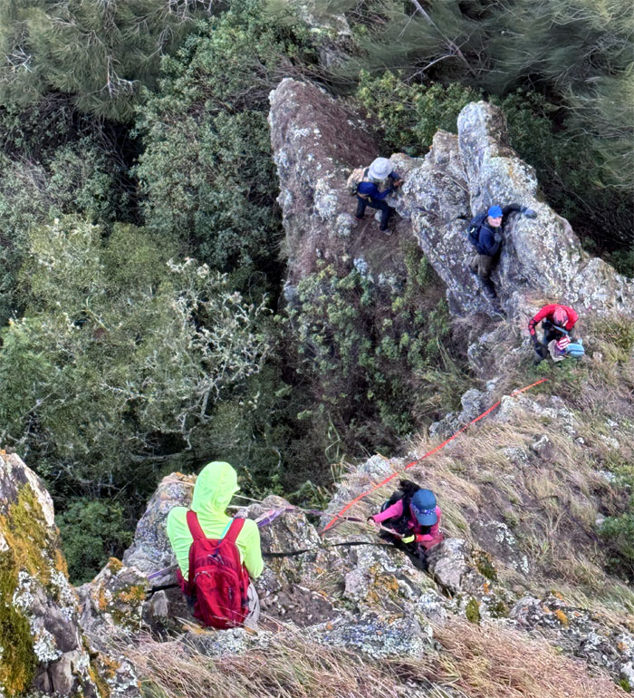
The group securing the webbing at the base.
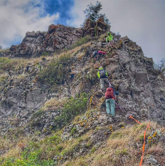
The only viable way to get Aida safely up the cliff was to have more than one person on the rope at one time. Falling rocks was another hazard.
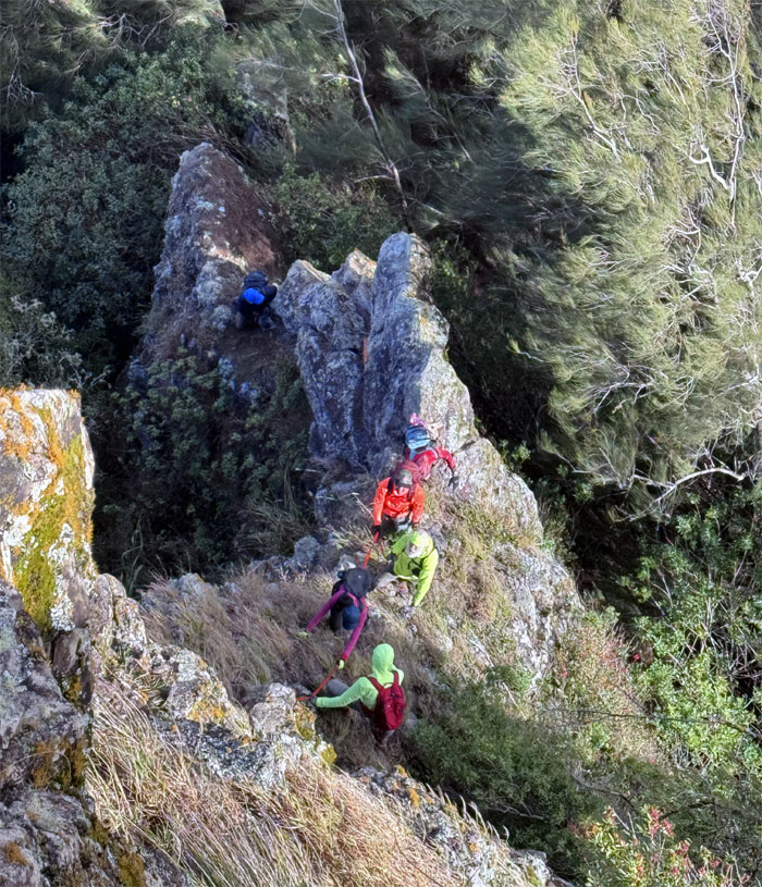
Matt and Chico guiding Aida up the pass.
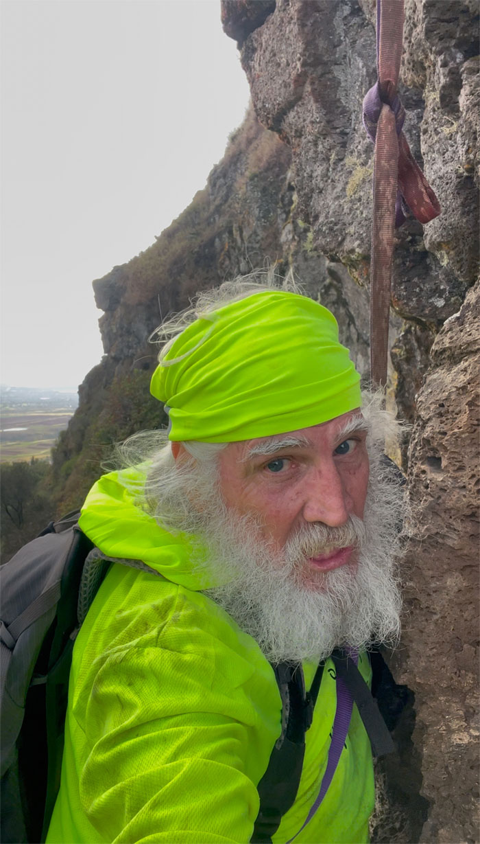
Dang! This is scary. Who said that?
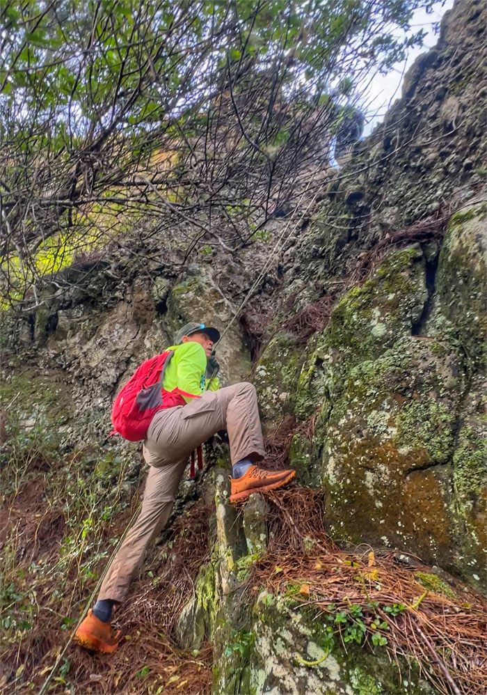
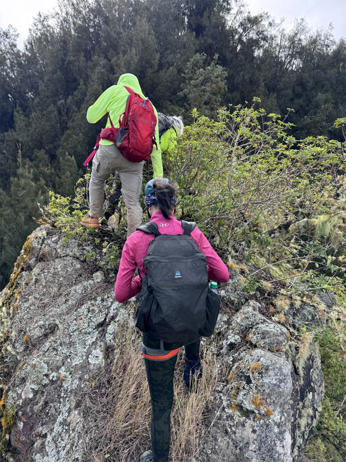
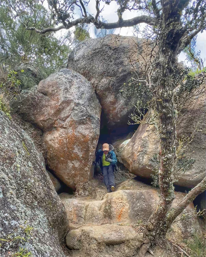
Chico hanging on the near vertical section of the pass.
What? No running commentary in Japanese? Sonna koto nai desho
Aida making the final climb to the top.
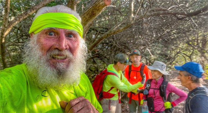
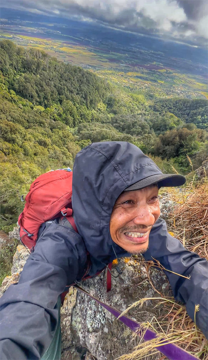
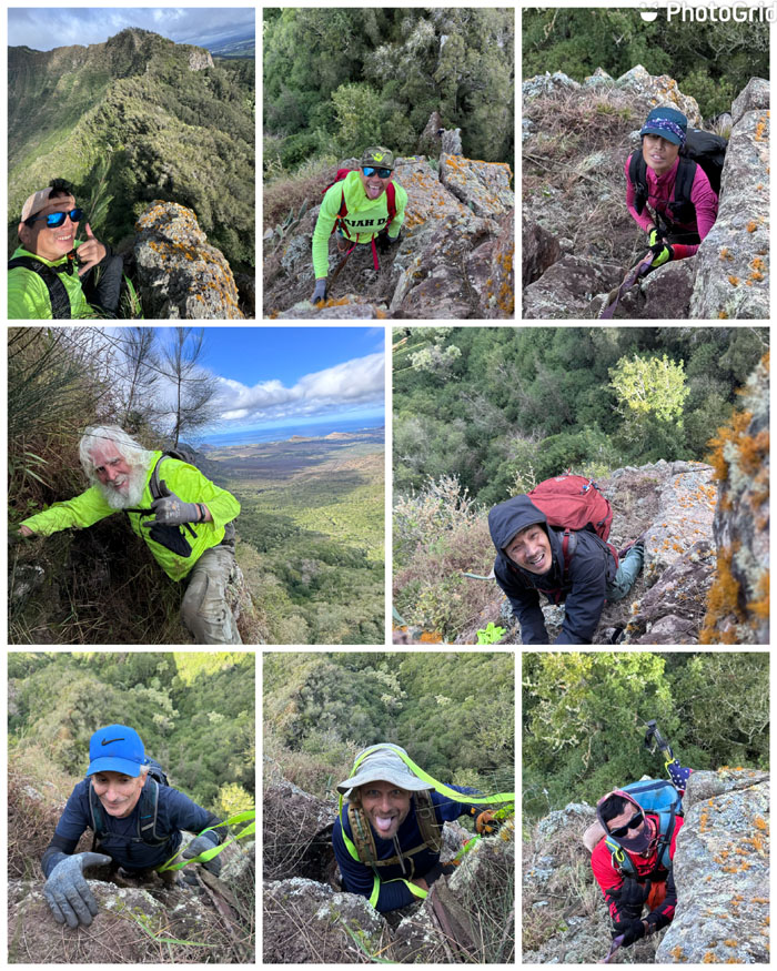
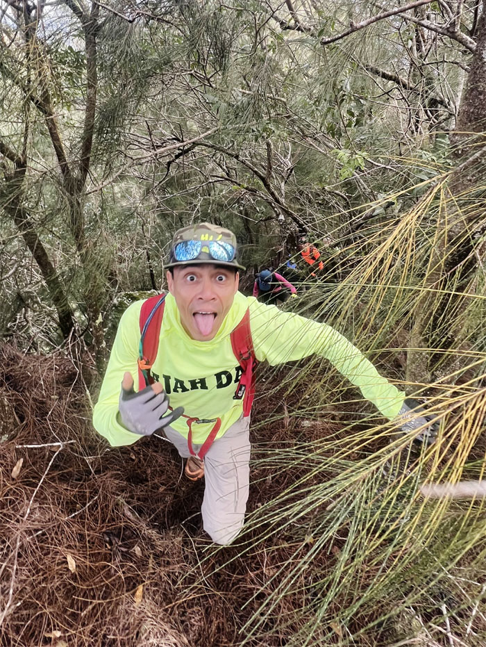
The happy faces in ascending order.
Our group safe and sound at the top. We can all take a deep breath and relax now.
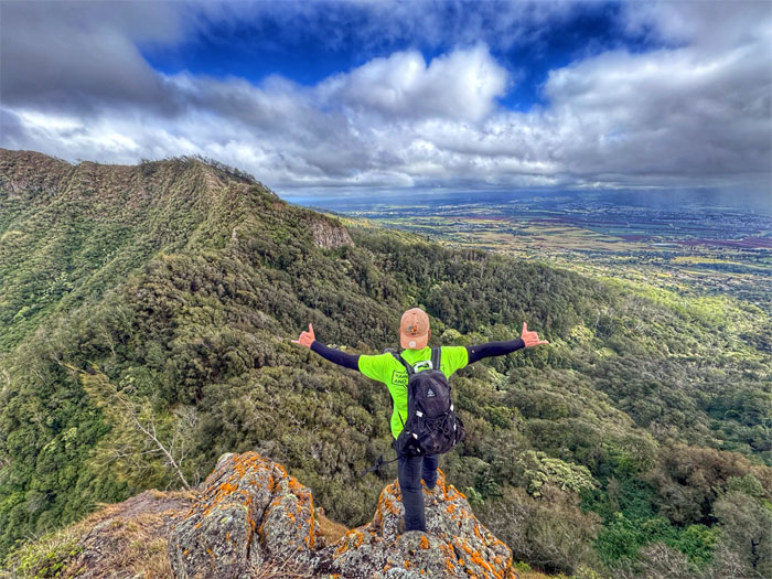
Scenic spot.
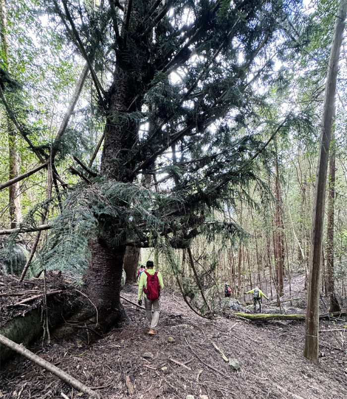
Plunging into the mixed forest as we left the pass behind us.
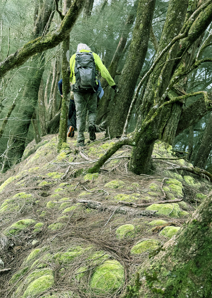
Walking on the spongy green moss. It was like Tempur-pedic for our feet.
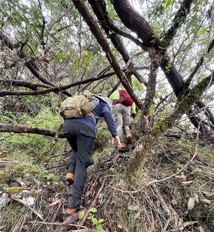
Matt working his way through the tree branches that were blocking our way.
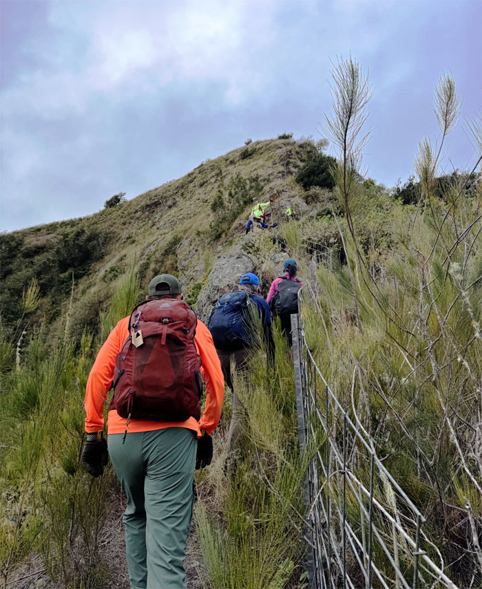
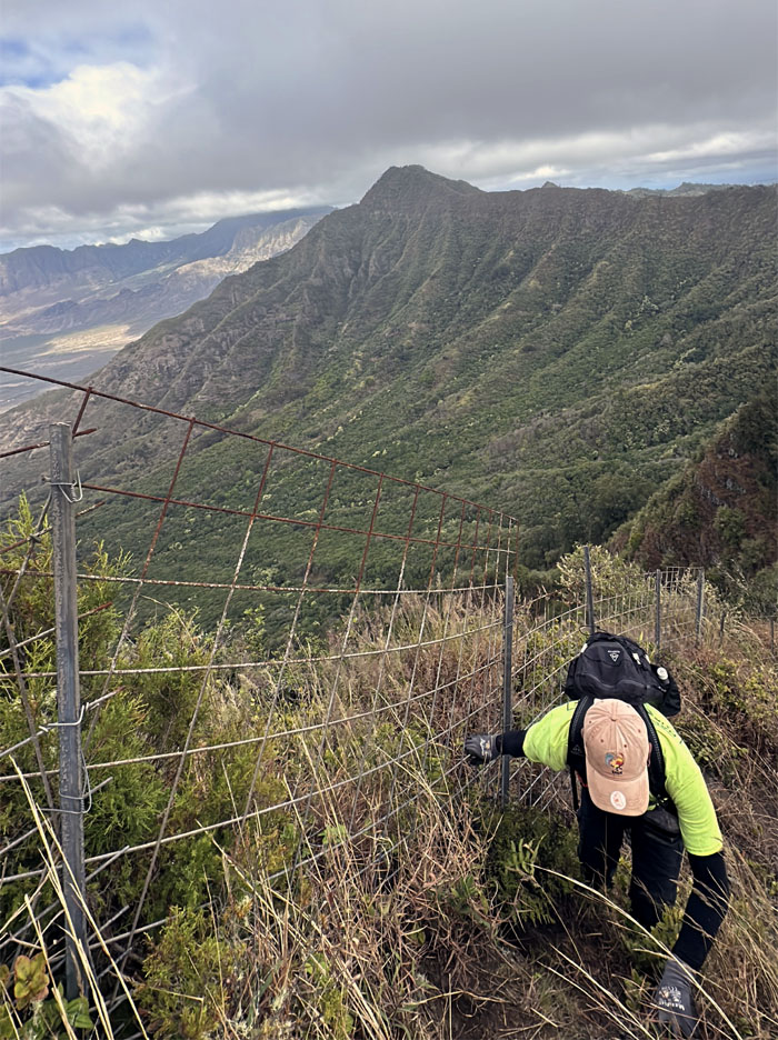
The slow and steady climb up the fenced hill.
My koala patch must be working. No mosquitoes were bothering me today.
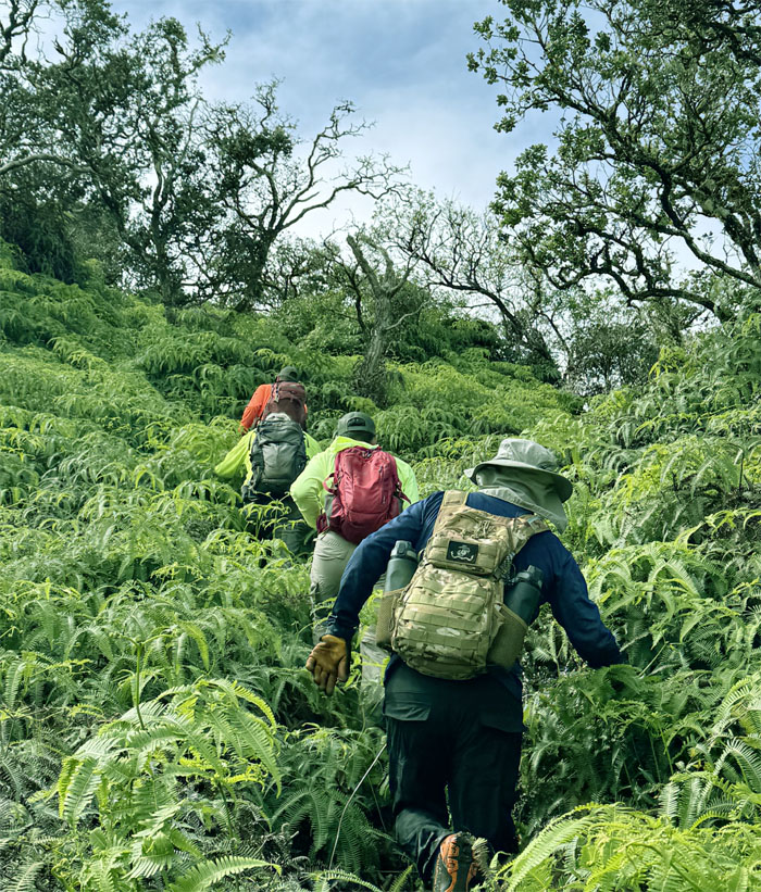
“Swimming” our way through the sea of uluhe ferns.
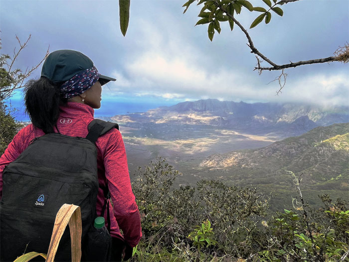
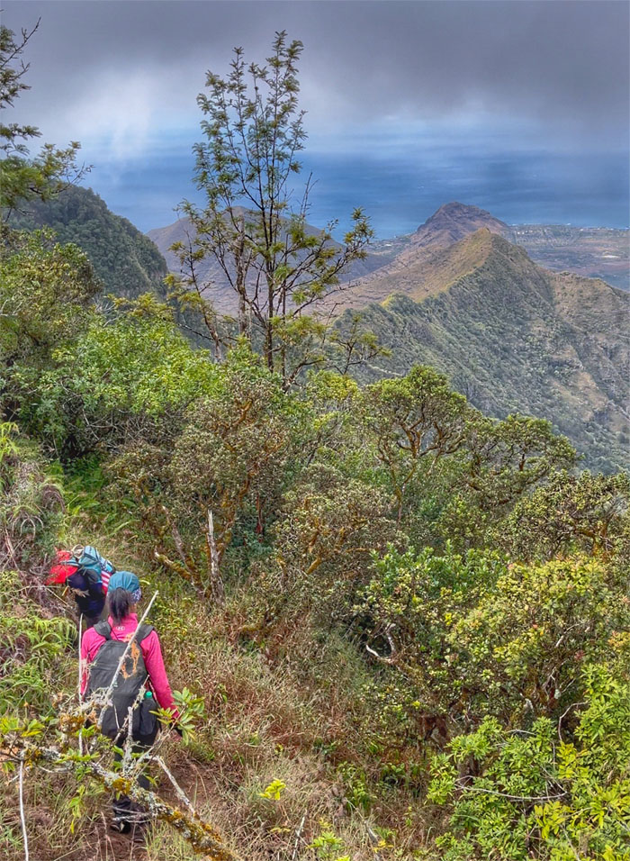
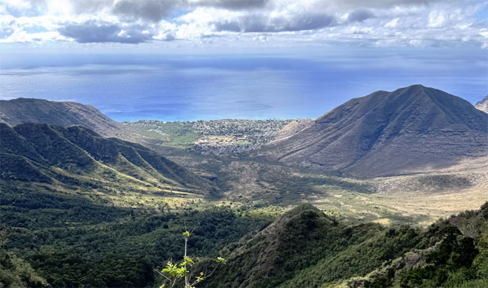
Aida taking in the view of the largest coastal valley on this side of the island.
Traversing the tangled tree line.
Looking out towards the ridge that ends at Heleakala, the Hawaiian pyramid.
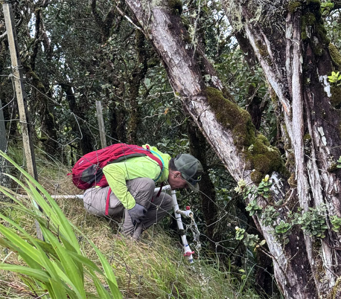
Matt taste testing what is non-potable water.
Steak, eggs and rice courtesy of Chef Suzuki.
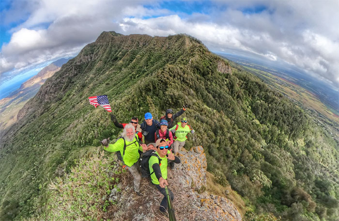
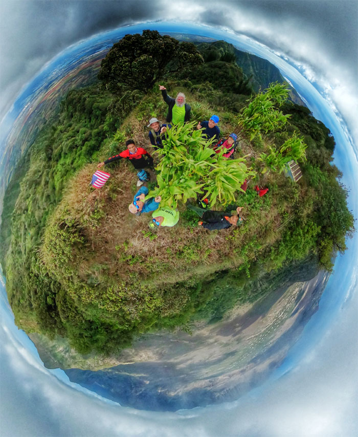
Group photo at the 3,098′ summit marked by ti leaf plants. I noticed a lot of the summits are marked as such, as the leaves are believed to bring positive energy and purification and keep evil spirits away.
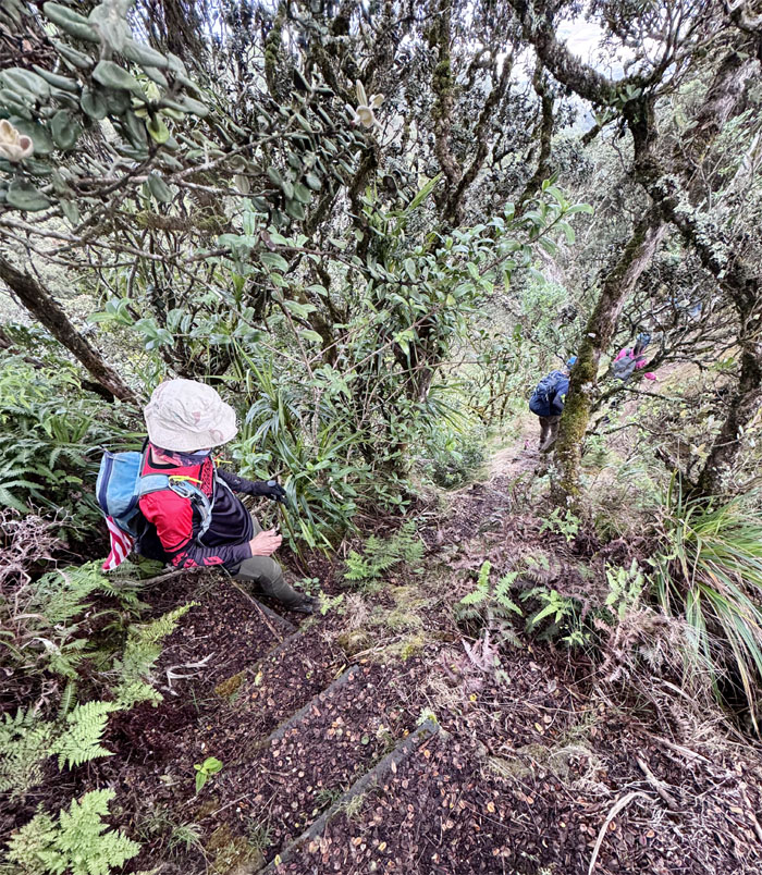
Walking down the steps to an area that are rich in native fauna and flora.
Echo. Echo.
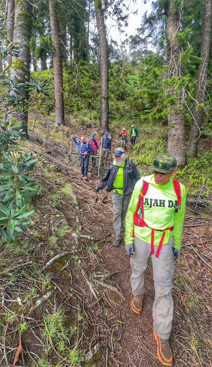
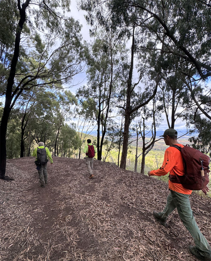
Passing through a grove of ironwood pine trees.
Enjoying the sights on the trail. Look left.
Looking out towards Nanakuli Valley, the name means to “look deaf” as in the old days, the valley was dry and didn’t lend itself well to planting crops so the locals were unable to offer food to passing travelers in the spirit of Hawaiian hospitality, so they pretended to not hear them and stayed indoors.
Just missing the golden idol and the “The Raiders March” music.
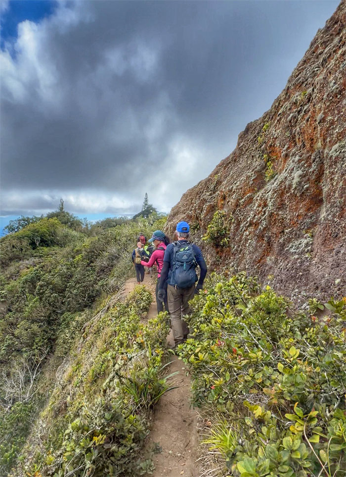
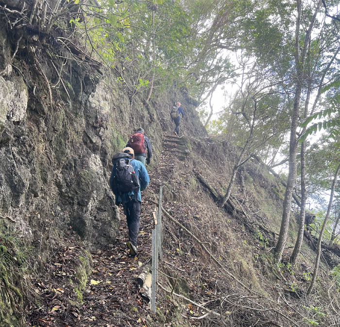
Walking up the trail carved out of the side of Mauna Kapu.
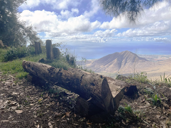
A log bench with a stunning view of the West side.
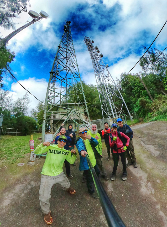
Group photo at the start or finish of the WST.
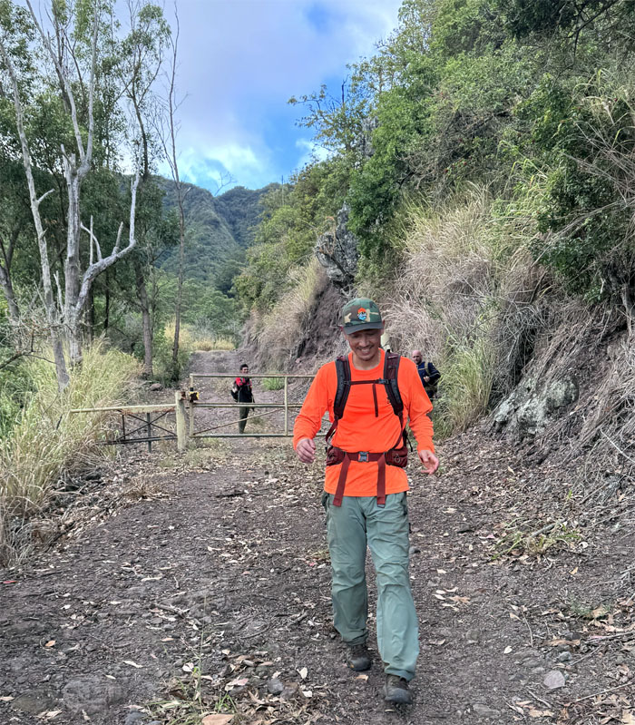
The paved road down would have been too hard on our feet so we doubled back on the trail.
Matt trying to plant the flag in the wrong direction.
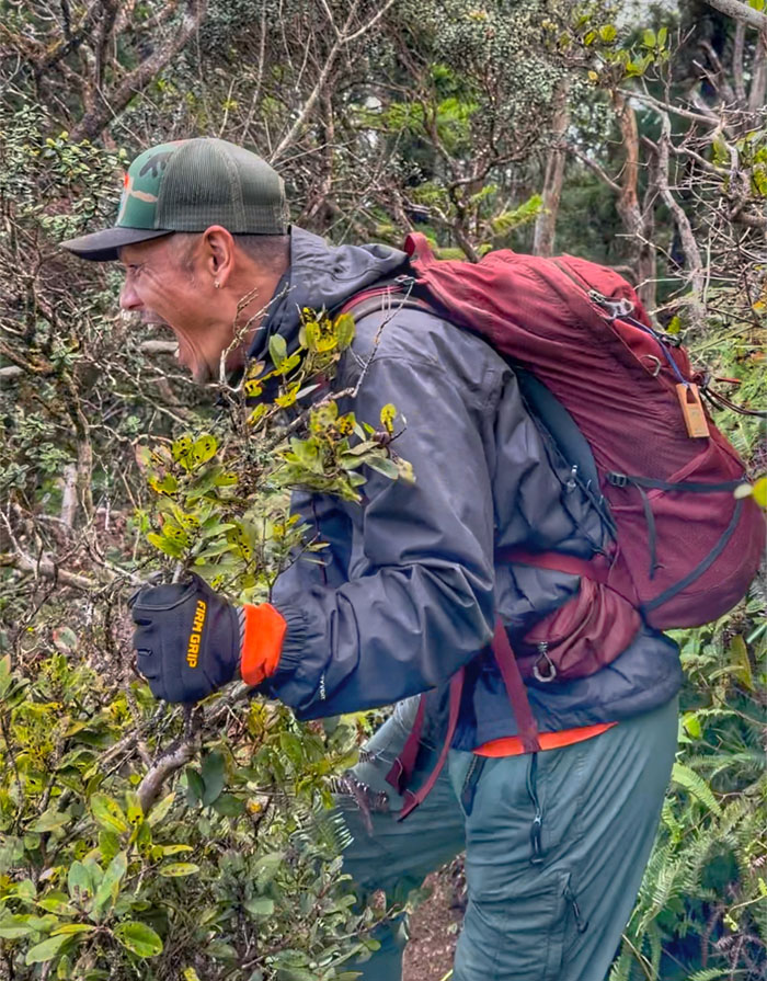
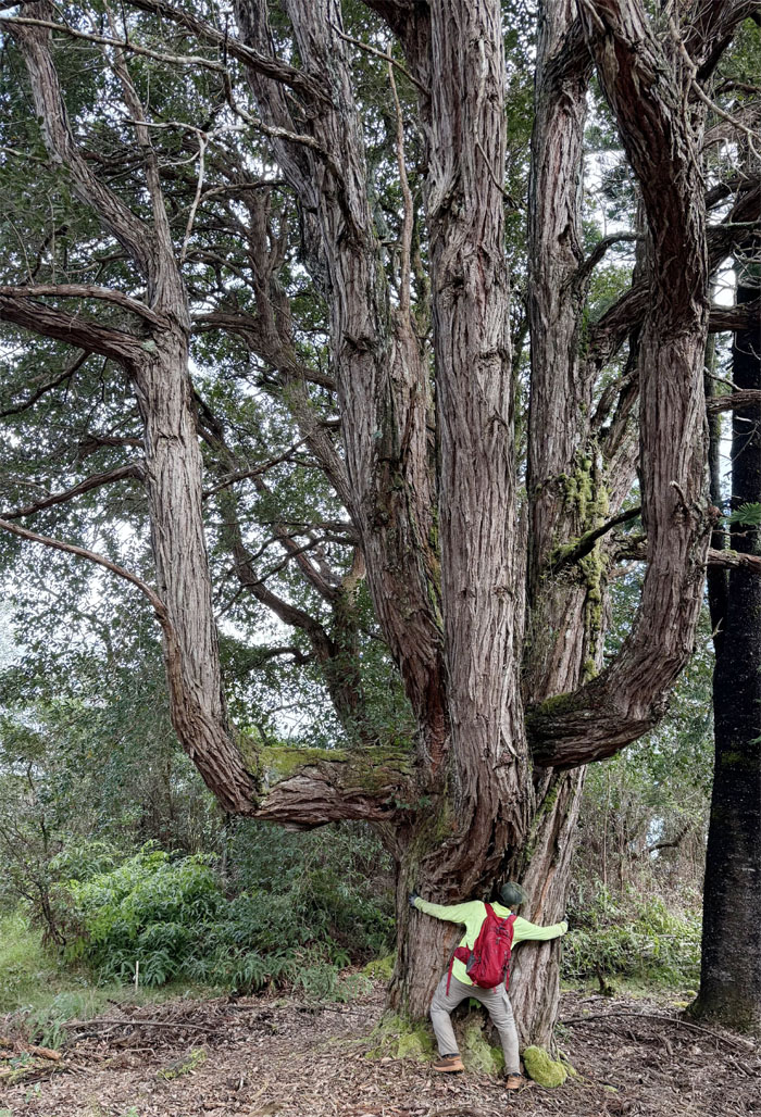
I think the tree hugger was trying to procreate another baby Groot.
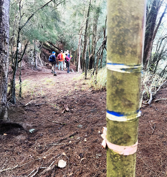
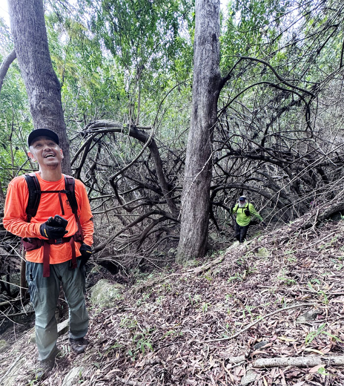
We left the well defined trail to traverse through a no defined trail as we made our way through the gully that was littered with fallen trees, rocks and clouds of mosquitoes.
Are we out yet?
Walking on the trail that was built by the Civilian Conservation Corps and the US Military in the 1930s.
The trail for the most part is unusable due to years of neglect, overgrowth, hurricanes and some parties would like to keep it that way as there are rare native plants that are best left undisturbed. Thankfully, the part where we had to walk was seemingly well trafficked and used by motorized vehicles as well.
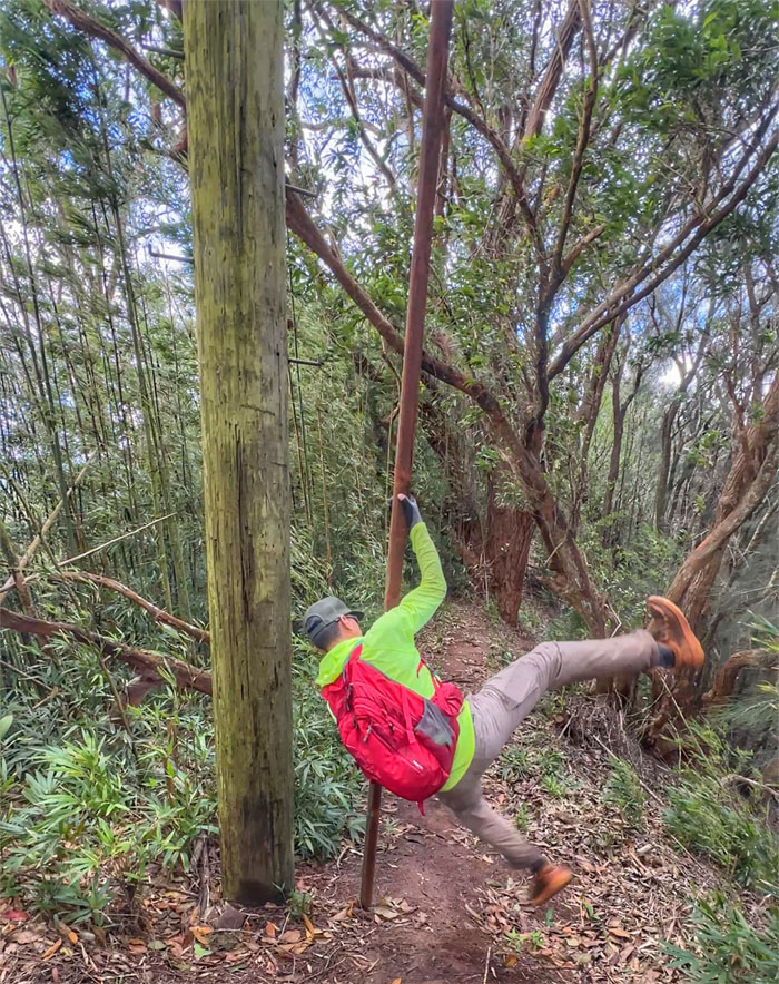
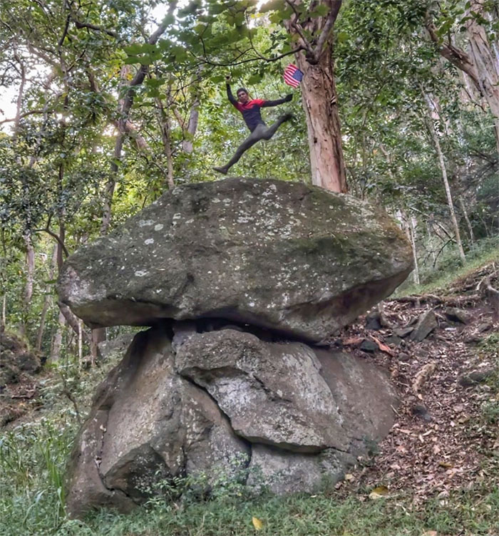
The Flyin’ Filipino not to be confused with Shane Victorino.
We all met back at our cars, took a look at another trailhead but didn’t have time to check out the farm that Matt grew. Next time.
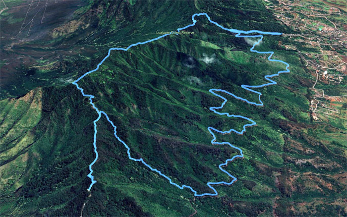
Our hike covered 9.58 miles that had a brief adrenaline rush that finished with what seemed like endless miles walking on a jeep road that never seemed to end. Fun hike that was accomplished with teamwork where everybody had fun and came out safe and sound. Post hike meal at Julie’z as the first choice was closed. Food is food.
Photos taken by Aida Gordon, Akira Suzuki, Chico Cantu, Ferlino Carinio, Jeremy Cannone, Matt Vidaurri, Roger Schiffman, and yours truly. Not necessarily in order.
Note: I have been made aware that some hikers have been using my blog as a hiking guide and getting lost on the trails. Please note that this blog was made to document the hike for the crew(s) that did it. That is why some of my comments will seem to have no relevance or meaning to anybody outside of the crew(s) that hiked that trail. My blog was never meant as a hiking guide, so please do not treat it as such. If you find inspiration and entertainment from these hikes, that is more than enough. If you plan on replicating these hikes, do so in the knowledge that you should do your own research accordingly as trail conditions, access, legalities and so forth are constantly in flux. What was current today is most likely yesterdays news. Please be prepared to accept any risks and responsibilities on your own as you should know your own limitations, experience and abilities before you even set foot on a trail, as even the “simplest” or “easiest” of trails can present potential pitfalls for even the most “experienced” hikers. One should also always let somebody know of your hiking plans in case something doesn’t go as planned, better safe than sorry.


{ 2 comments… read them below or add one }
Very nice! I leaned something new today…the Look Deaf story! Interesting! Thank you for leading is safely and much mahalos as well to the boys for all the support and encouragement! Couldn’t have done it without all of you!
Aloha Aida,
Thanks and def a team effort that got everybody up and over.
Mahalo