I decided to do a solo section of the KST today as the forecasted weather called for beautiful conditions.
Drove through the hilltop community created in the 1960s and known as the original luxury view ridge on the island. I was hoping to bag some of those luxury views myself, albeit without paying millions of dollars for those heavenly heights.
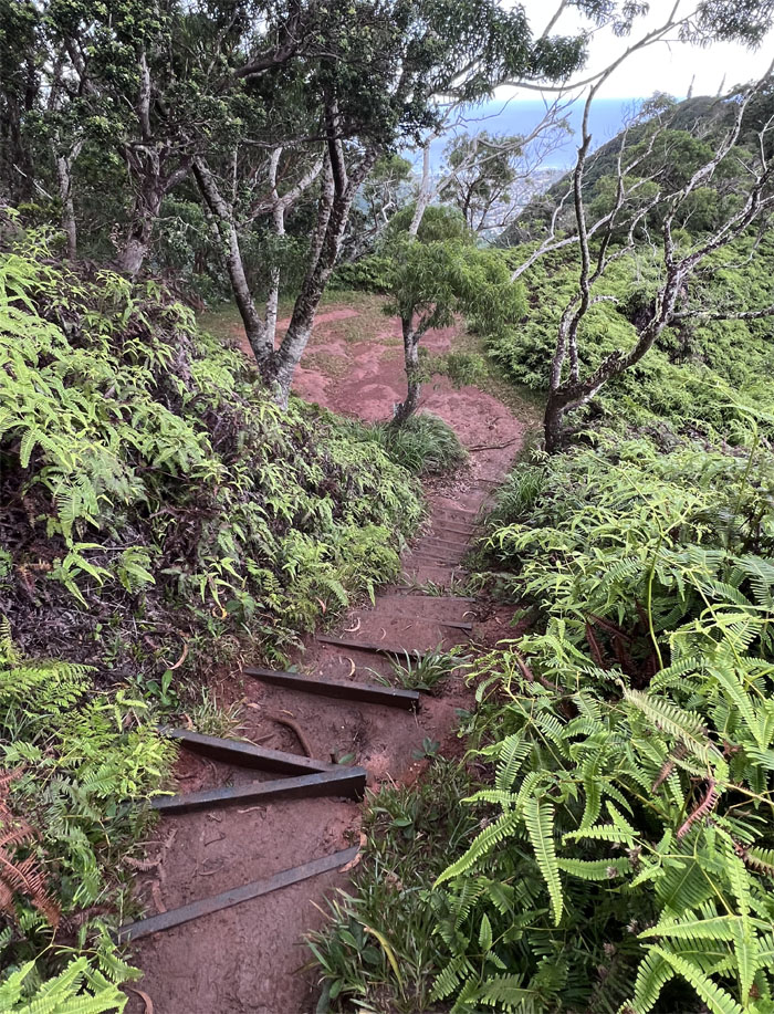
Trail meets the stairs.
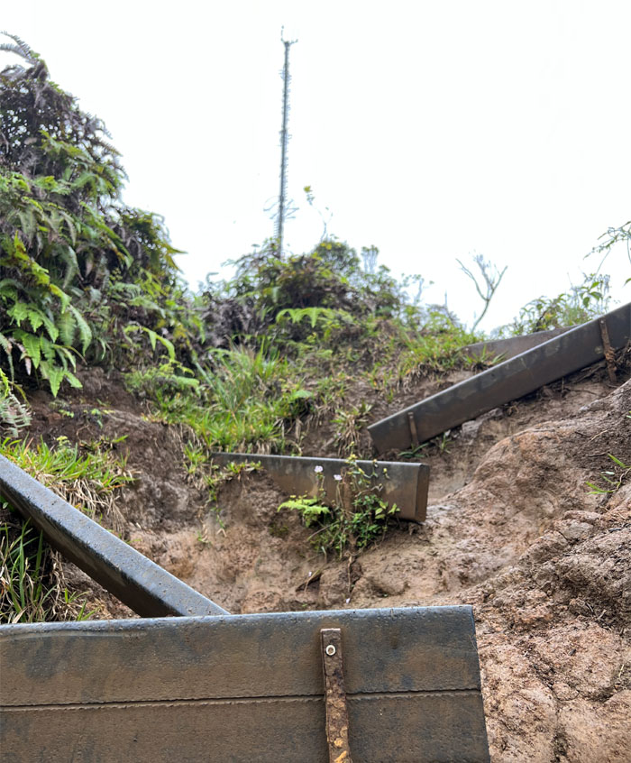
Erosion has taking a toll on the steps footing on the large ridge.
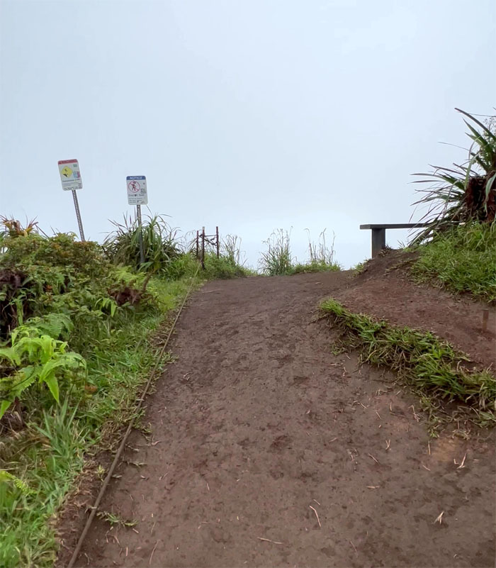
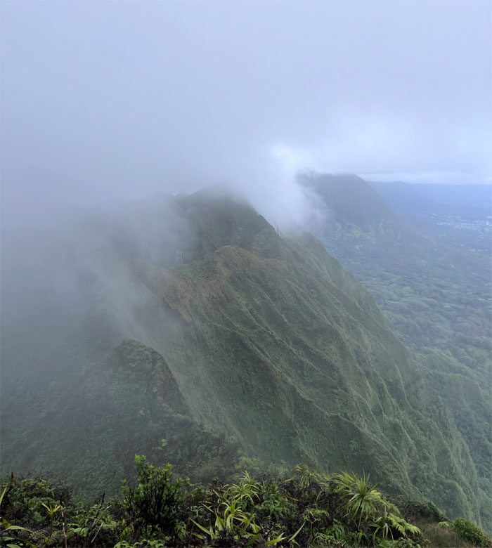
Cloudy conditions greeted me at the 2,480′ summit. No surprise.
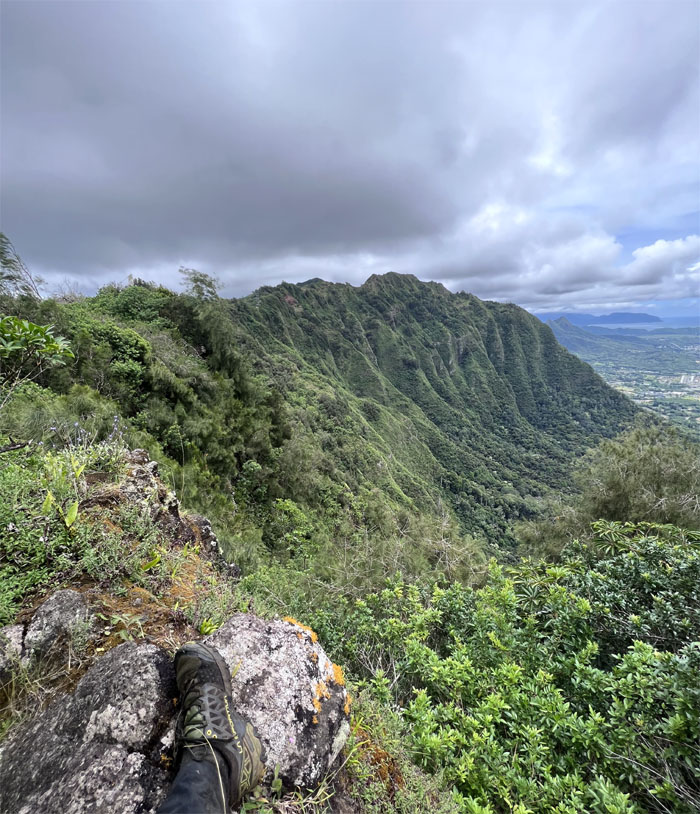
Looking back at the trade winds pushing the cloud over the mountains.
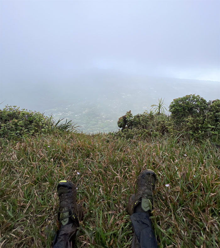
Shoefie at the 2,403′ peak.
Bagging the views. That’s what it’s all about.
I had the 2,520′ knob all to myself.
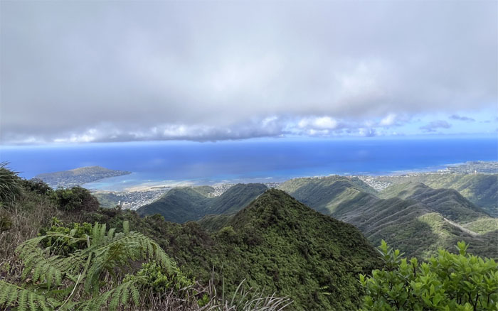
Checking out the Leeward views.
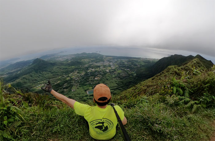
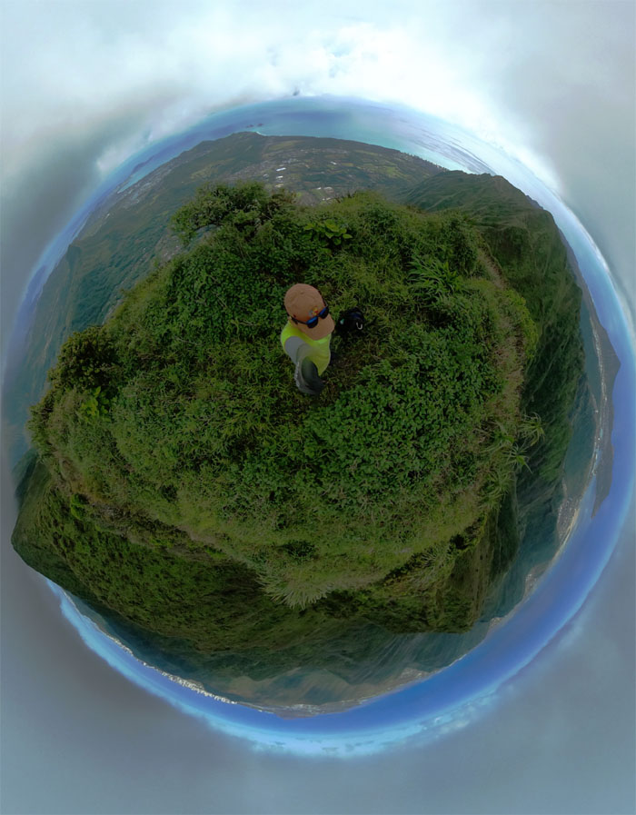
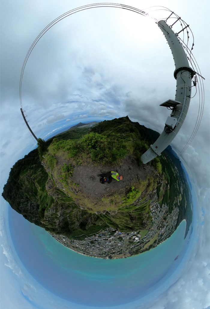
360 degree view of the 2,480′ summit of the flapping chicken.
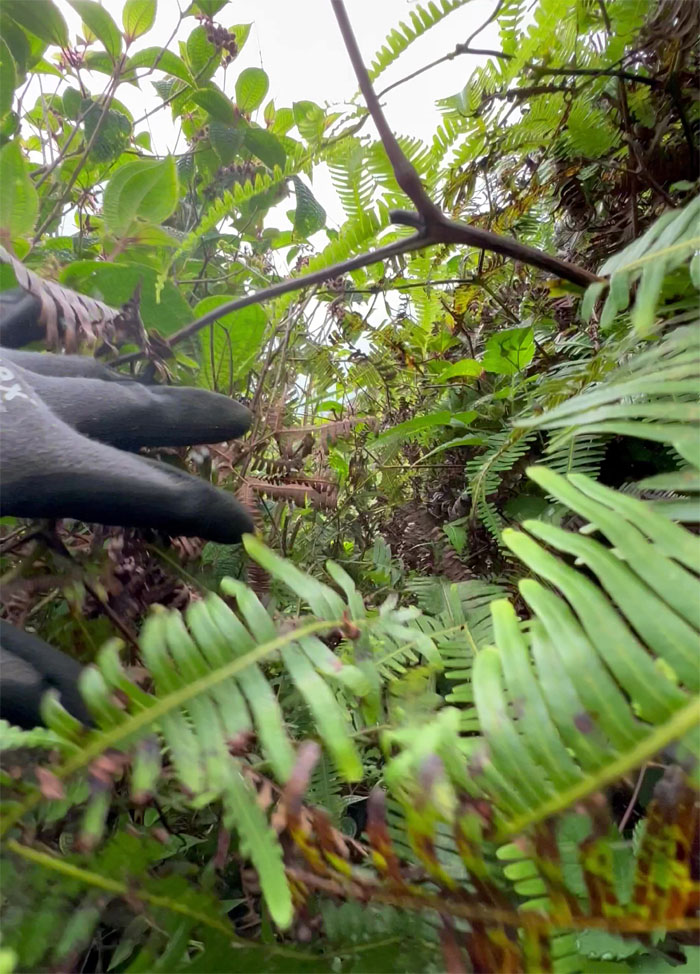
Welcome to the jungle.
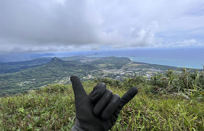
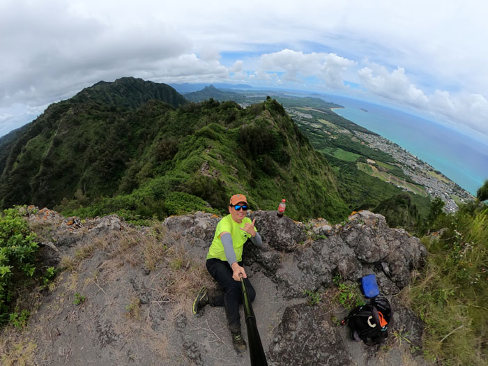
Shaking the shaka at the 2,200′ flat topped summit.
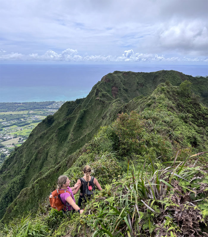
I ran into a couple of girls who had come up from the West ridge line and were looping it back down towards the valley.
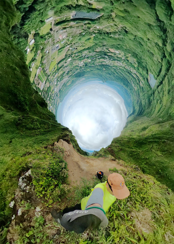
360 degree view of one of the most photographed spots between Kuli’ou’ou and Pu’u O Kona. Different perspective.
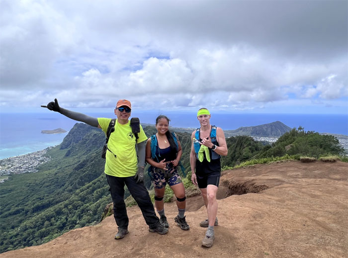
Took a group photo with Kelly and Paul at the 2,200′ flat topped summit who I only knew from Facebook. Small world.
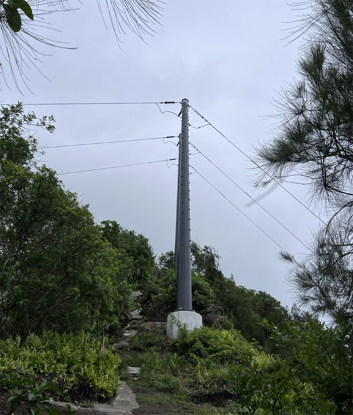
Going down the well cleared trail past the first set of powerline towers.
Breaking out into the clearing after pushing through the overgrowth.
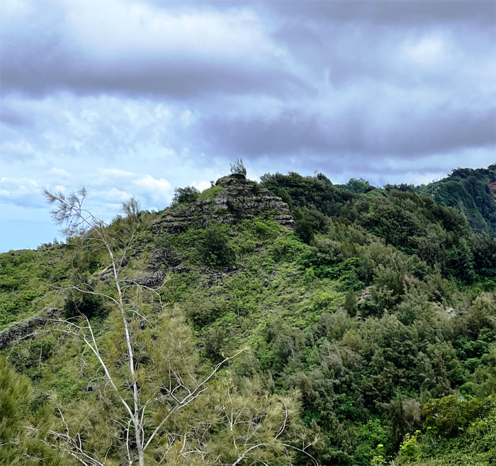
Looking back at Hahaione Pyramid, a natural rock formation that was not built by aliens or an advanced civilization.
Enjoying my frosty beverage on the 1,640′ summit that Kamehameha Schools would like the public to forget, as the trail is now shuttered and only open to certain approved hiking groups.
Leaving the forest behind as I broke out into open ground.
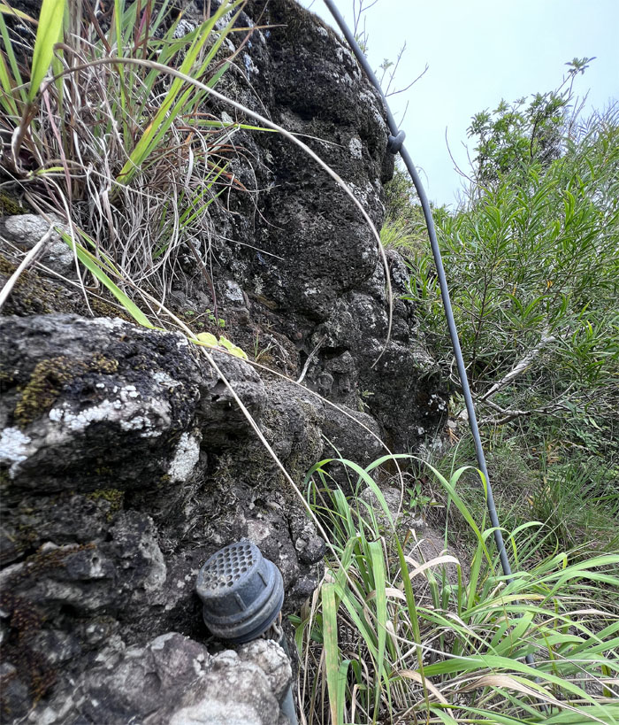
I’m glad to see that the printer cable is alive and well.
Tom-Tom rolls off the tongue more smoothly than McGuire-Cadle.
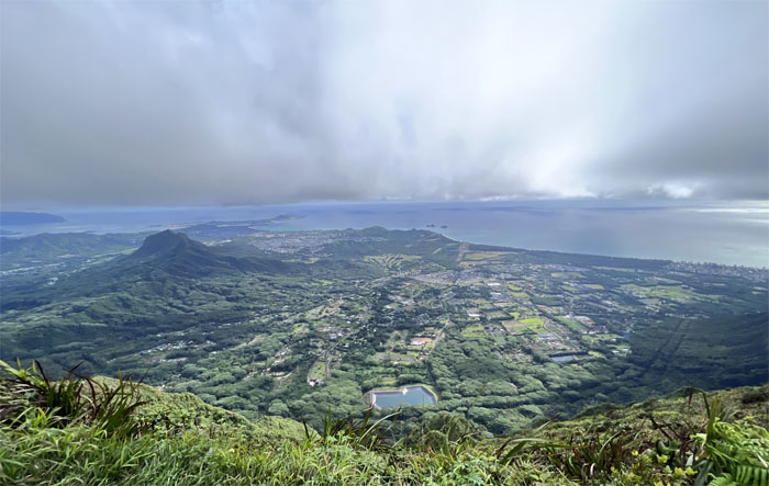
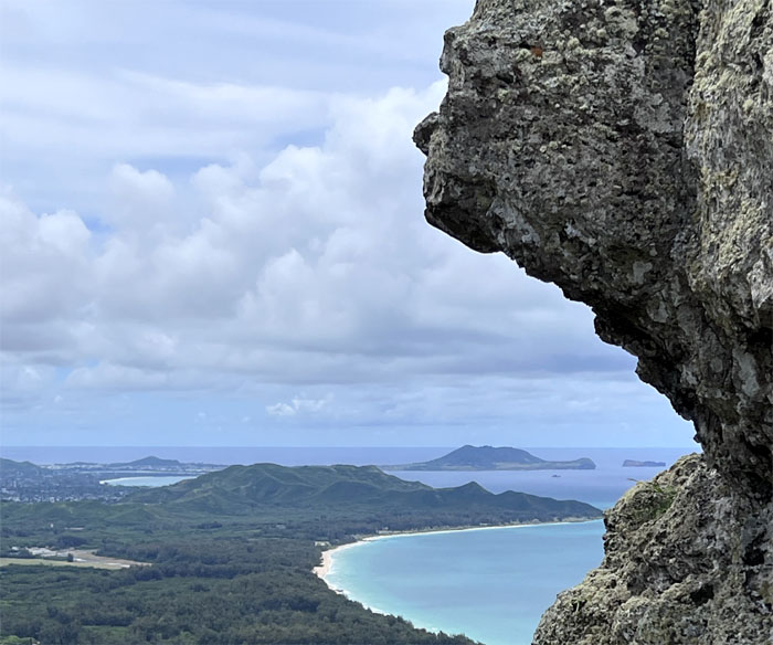
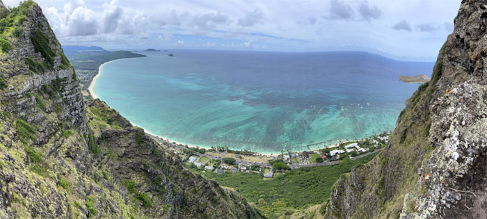
Looking out towards Kailua and Kaneohe Bays.
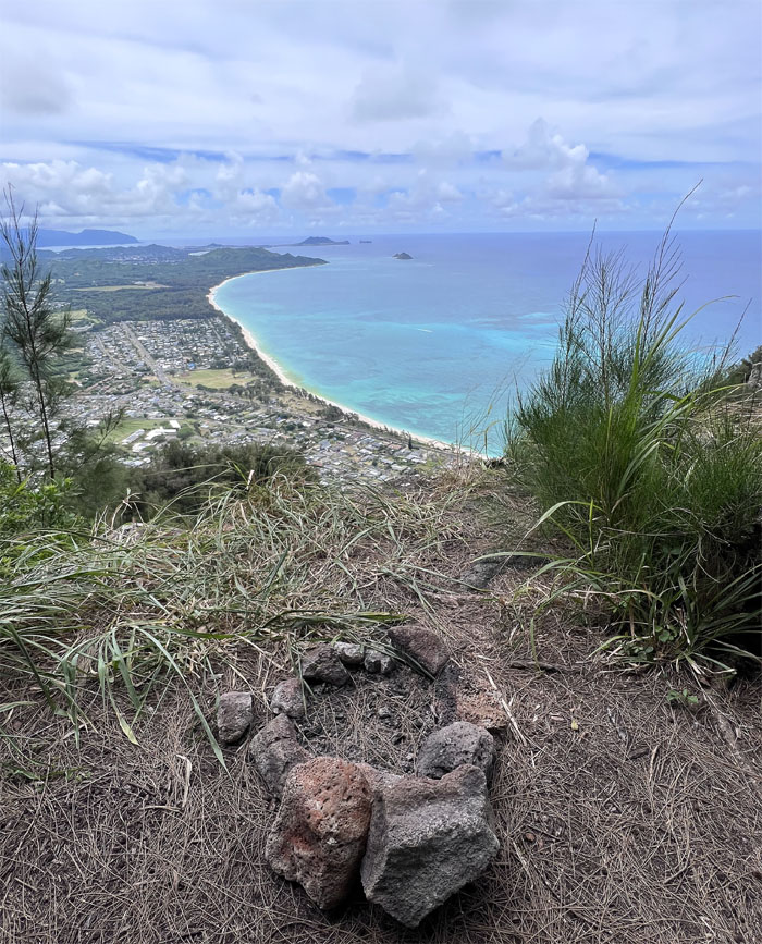
Campfires in the mountains. Is that such a thing?
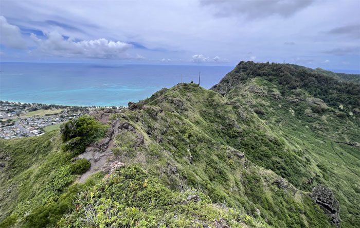
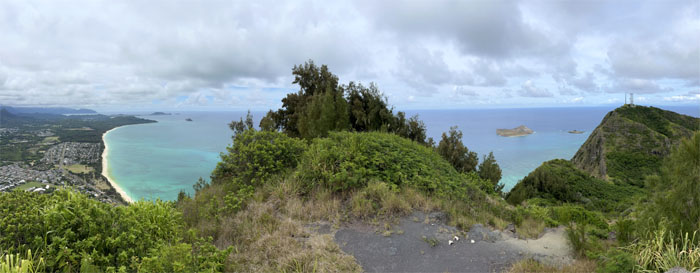
Panoramic view of the ridge line before entering the stand of pine trees.
In the saddle.
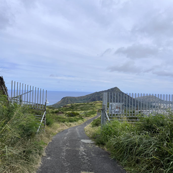
The gates were open as I walked down the road where Tessa was waiting to pick me up. Mahalo!
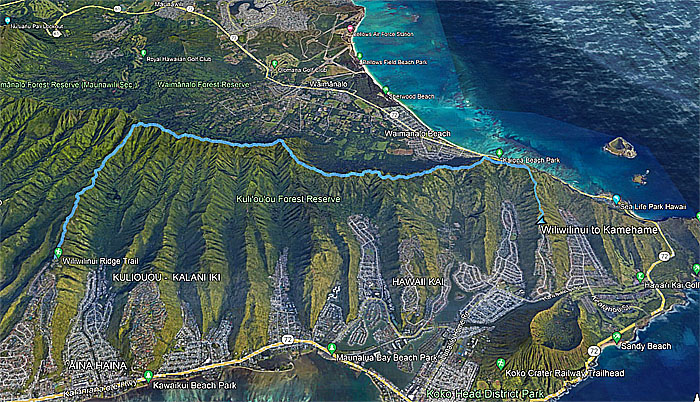
My little slice of the Southern KST covered 9.38 miles through cloudy to clear conditions to the very end.
Note: I have been made aware that some hikers have been using my blog as a hiking guide and getting lost on the trails. Please note that this blog was made to document the hike for the crew(s) that did it. That is why some of my comments will seem to have no relevance or meaning to anybody outside of the crew(s) that hiked that trail. My blog was never meant as a hiking guide, so please do not treat it as such. If you find inspiration and entertainment from these hikes, that is more than enough. If you plan on replicating these hikes, do so in the knowledge that you should do your own research accordingly as trail conditions, access, legalities and so forth are constantly in flux. What was current today is most likely yesterdays news. Please be prepared to accept any risks and responsibilities on your own as you should know your own limitations, experience and abilities before you even set foot on a trail, as even the “simplest” or “easiest” of trails can present potential pitfalls for even the most “experienced” hikers. One should also always let somebody know of your hiking plans in case something doesn’t go as planned, better safe than sorry.

{ 0 comments… add one now }