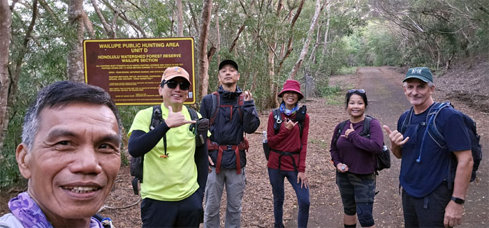
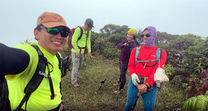
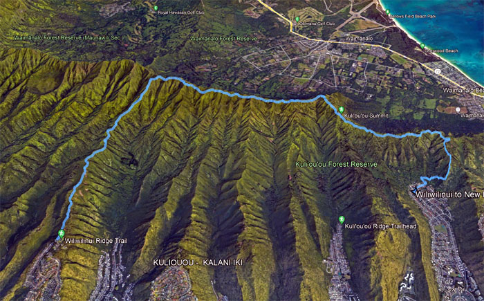
Met up with Aida, Akira, Ferlino, Tessa and Roger to finish connecting the dots on the Southern side of the Ko’olau Mountains.
Is this Wailupe or Wiliwilinui?
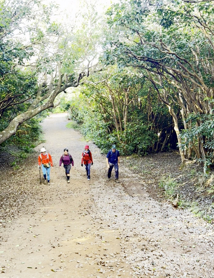
Going up the slow burn of a road.
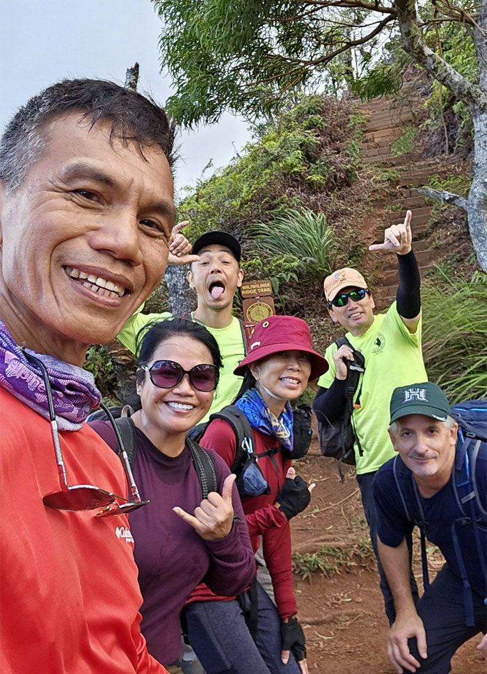
Where the road meets the trail.
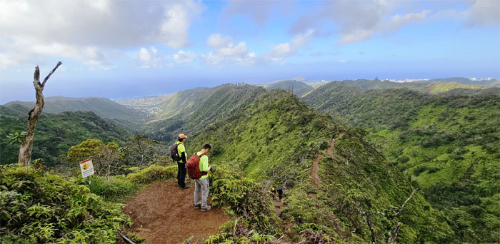
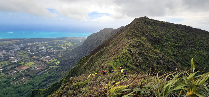
Scenic view of all the “finger” ridges sprawling through the urbanized pockets.
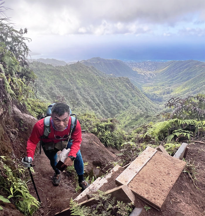
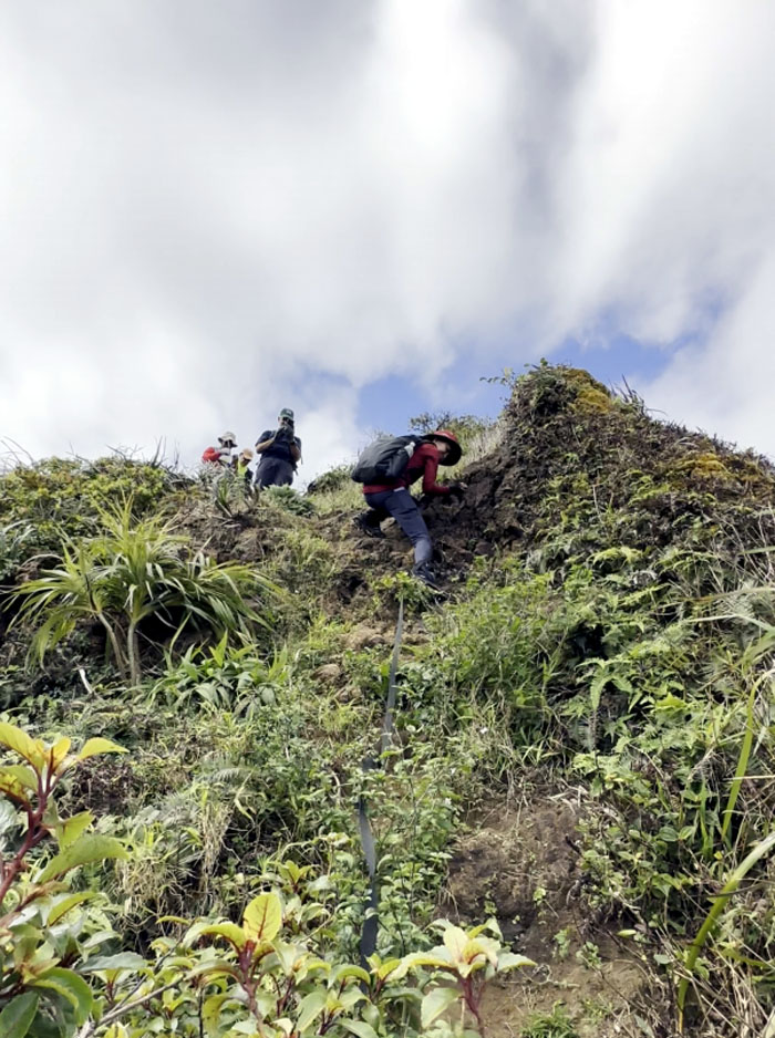
Kudos to whoever carried a ladder up here and installed it to help with the climb.
Are we there yet?
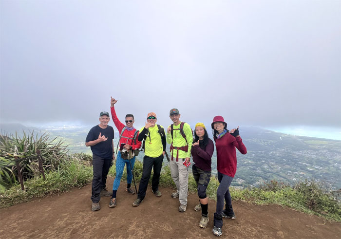
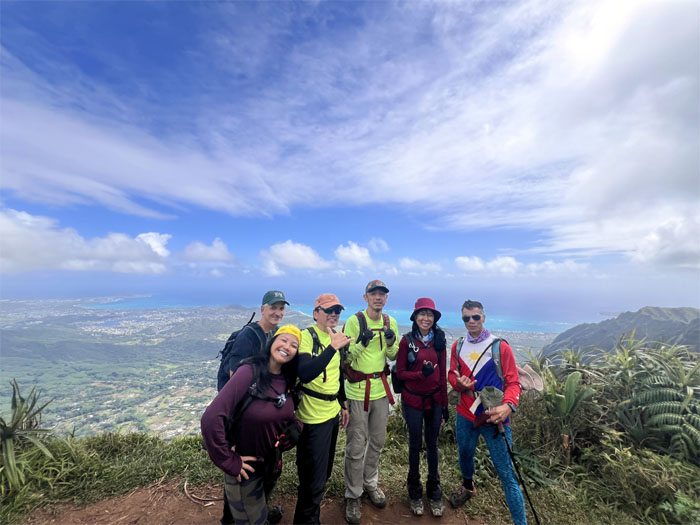
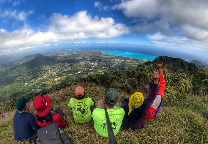
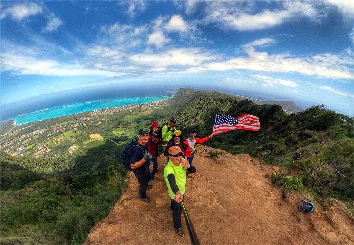
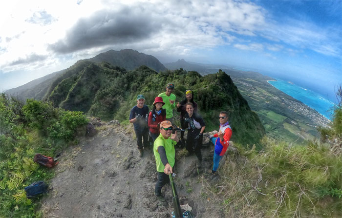
Group photo at the 2,480′ summit of the “large ridge.”
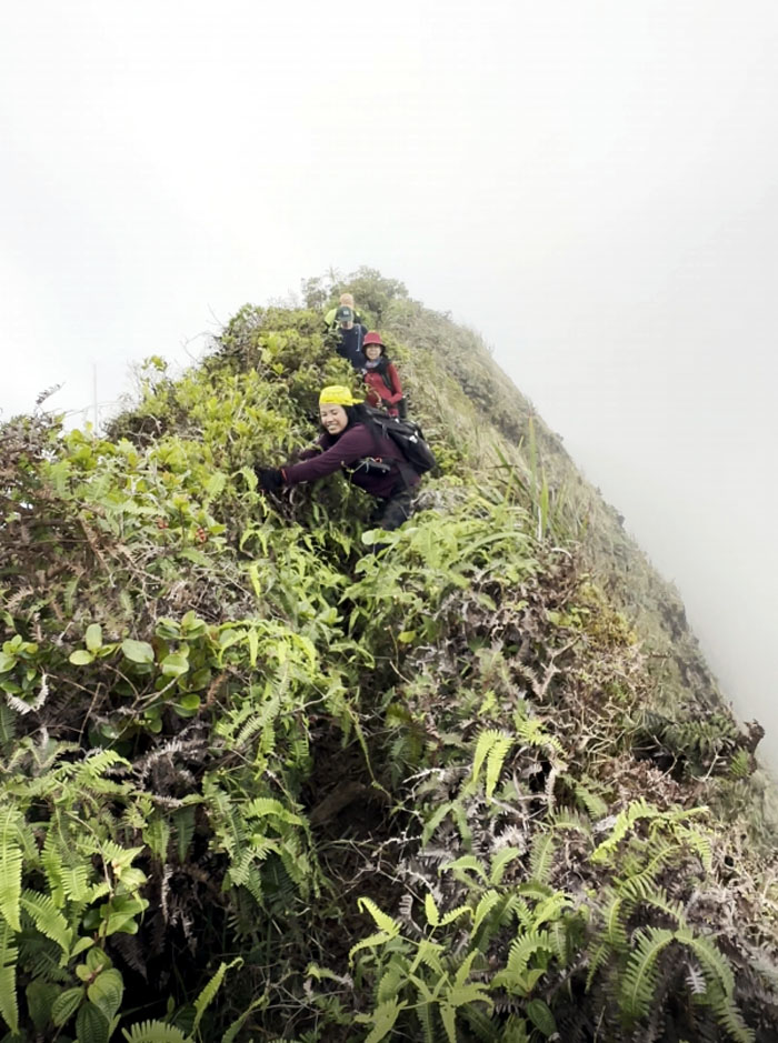
Tessa pushing the ferns down as she made her way down the trail.
Kore wa Wailupe summit desu. Now how do you say “kite water” in Japanese?
Left the 2,580′ summit to continue our hike along the spine of the Ko’olau Mountains.
Group photo at the eroded knob at 2,520′ elevation.
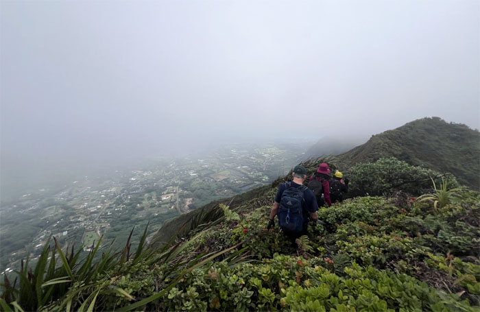
Dropping down to the lows …
… and going up the highs. Not that type of high high.
PTSD flashbacks to the failed ascent of this extremely eroded and steep ridge many years ago. I lived to hike another day.
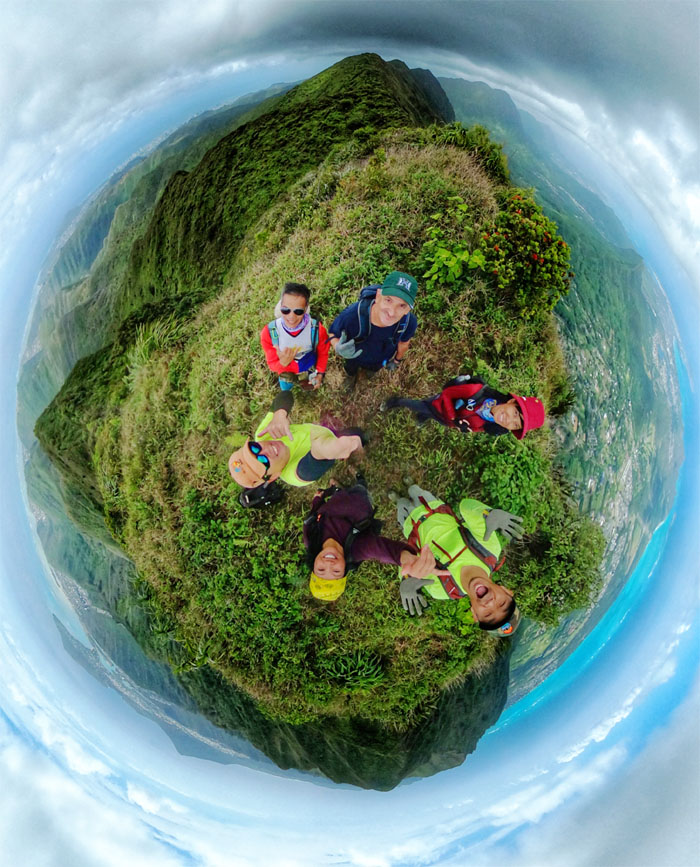
360 degree group photo at the 2,480′ summit of the “flapping chicken.”
The cloud ceiling stayed overcast which contributed to the comfortable temperatures on the hike.
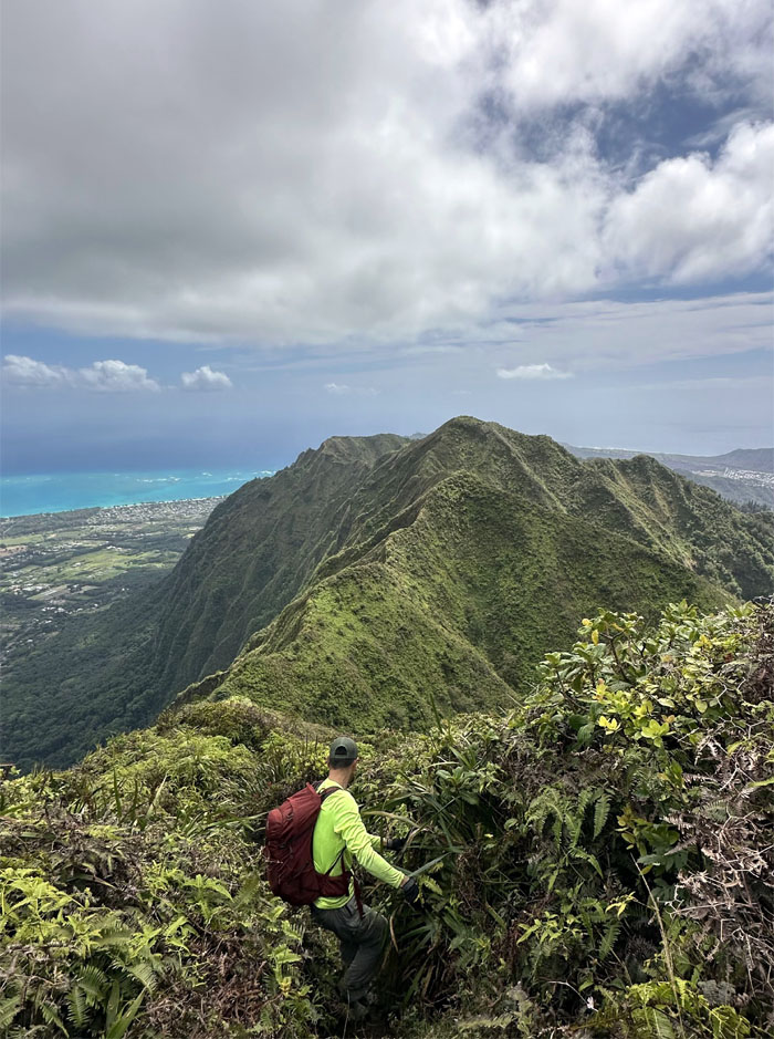
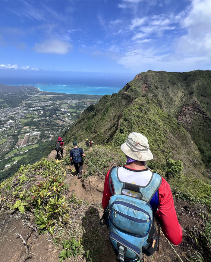
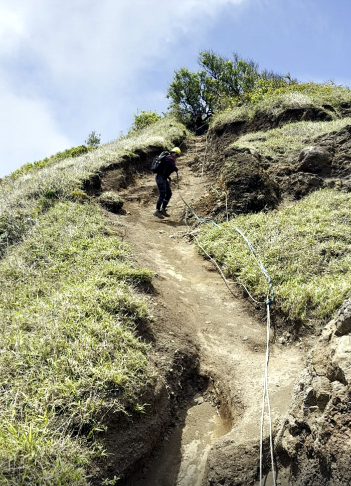
Aida making her way down a somewhat steep section of the trail. How old is this webbing?
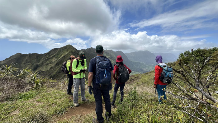
Enjoying the relatively flat section as we made our way to the grassy knoll.
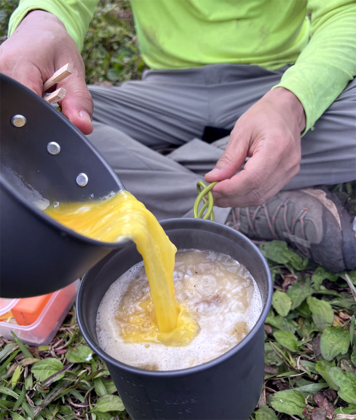
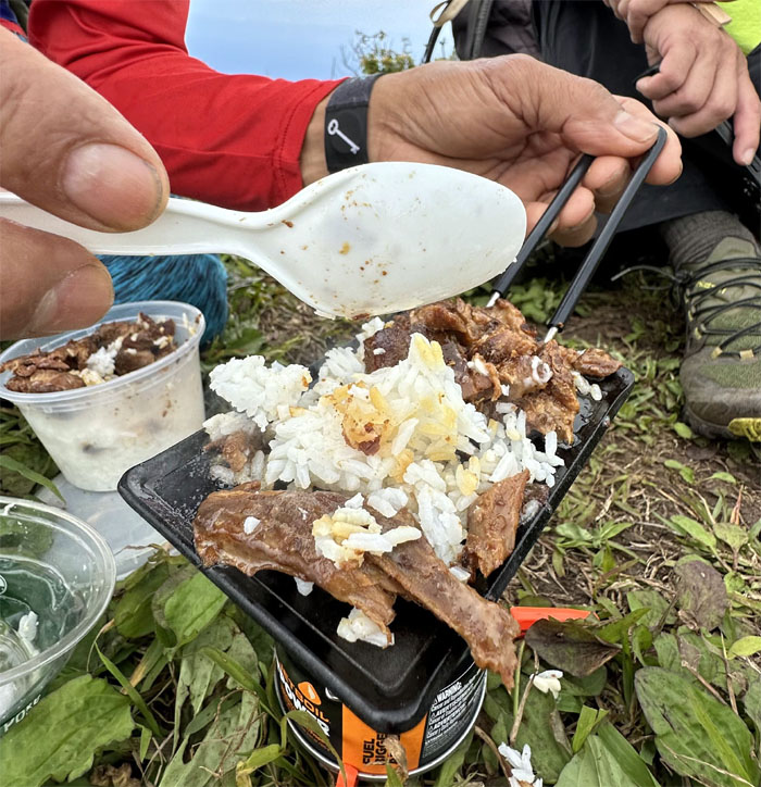
Lunch time. Somebody brought fresh eggs to add to his boiling pot of beef and rice. Chef Hai Hai eats good or feels really good in the mountains. Usually both.
Ferlino heating up ribs and rice. Need a bigger grill.
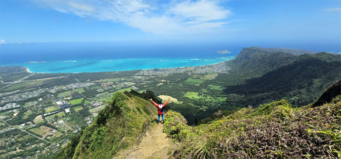
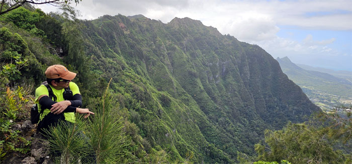
Enjoying the Windward views.
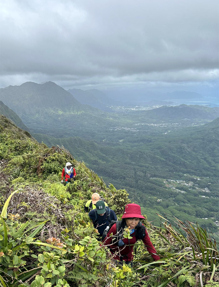
The group going down one of the steeper sections of the trail.
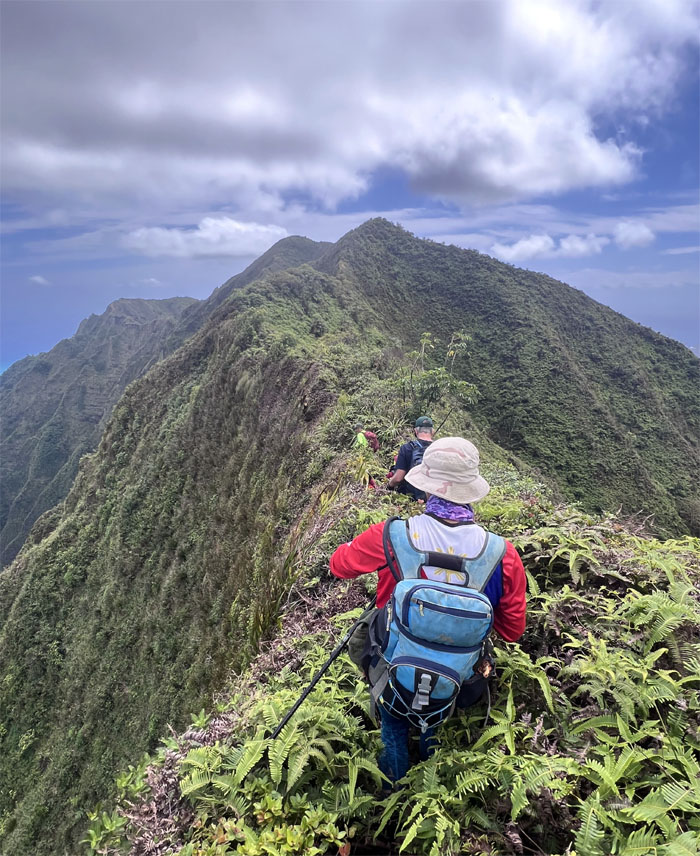
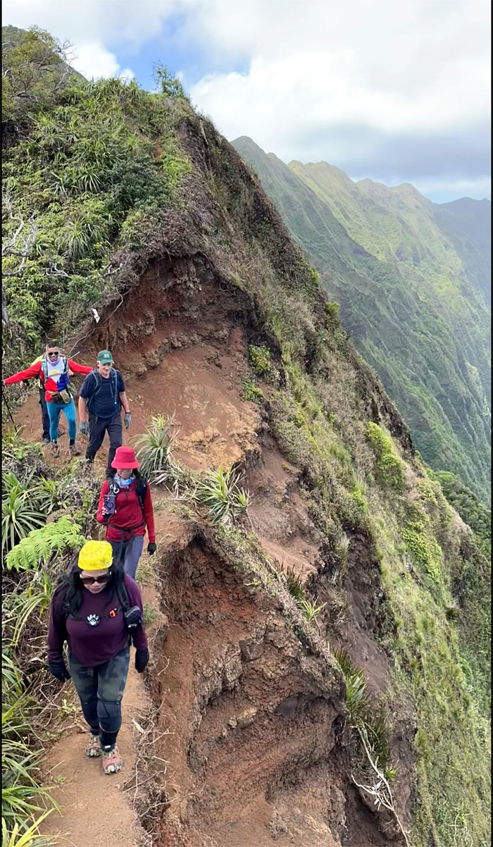
Traversing over the heavily eroded section of the ridge line.
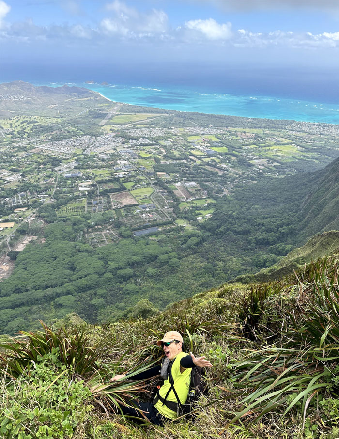
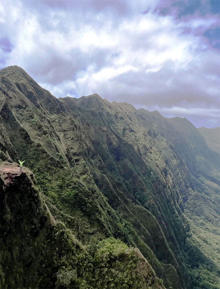
Akira standing out at the oft-photographed spot with the fluted backdrop of the Ko’olau Mountains.
Ferlino representing the Filipino colors at the top of what is also known as Pu’u O Kona Windward.
Passing through the 2,200′ flat topped mountain.
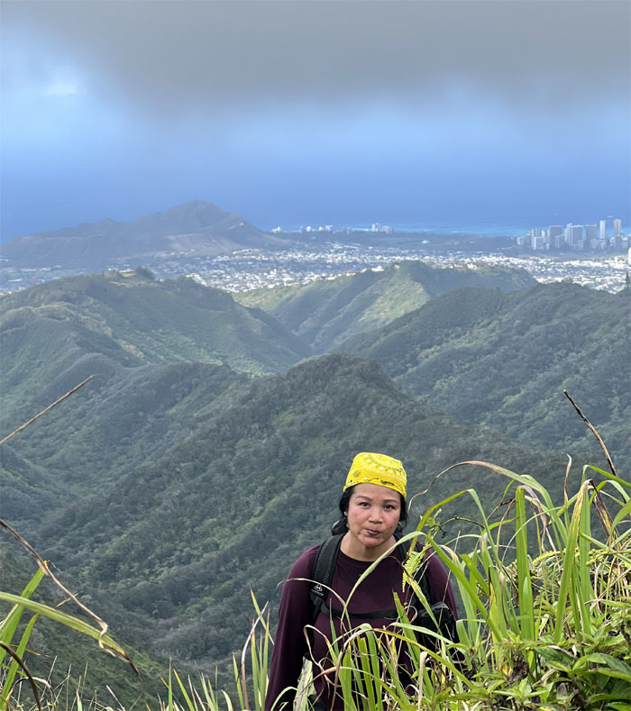
Tessa hopping her way down the severely eroded trail.
The group avoiding the contour and taking the most direct route to the summit of the “sounding knee.”
Passing resemblance?
Group photo on the lower summit. Away from the crowds at the 2,028′ eroded hill.
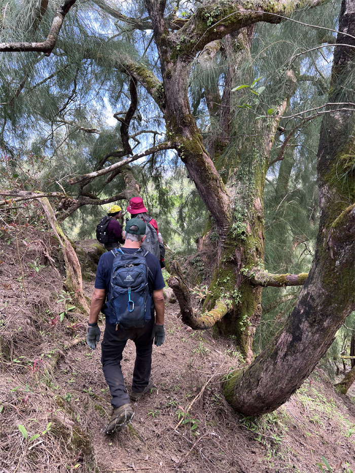
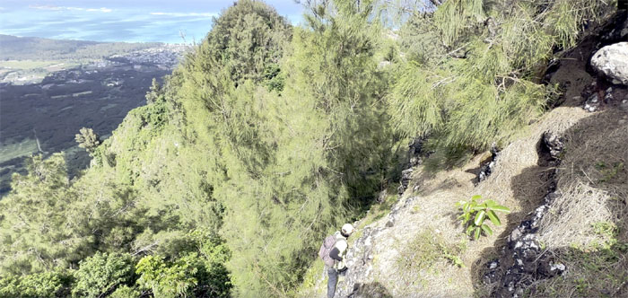
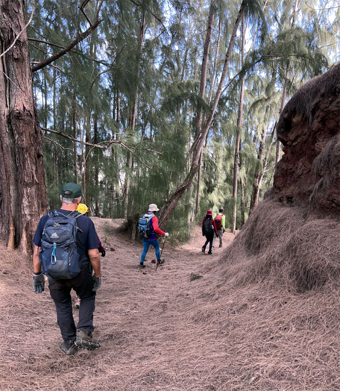
Plunging into the forest dominated by pine trees.
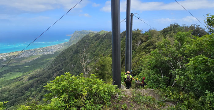
Coming across one of two sets of powerline towers that straddles the ridge line.
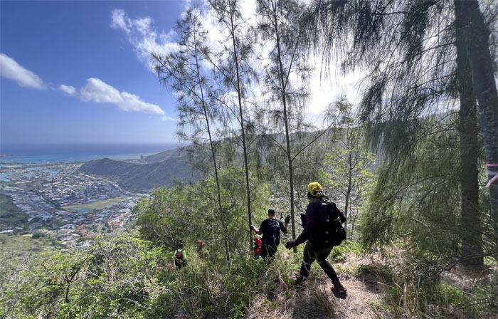
Enjoying the scenic spot after getting slightly disoriented in the forest.
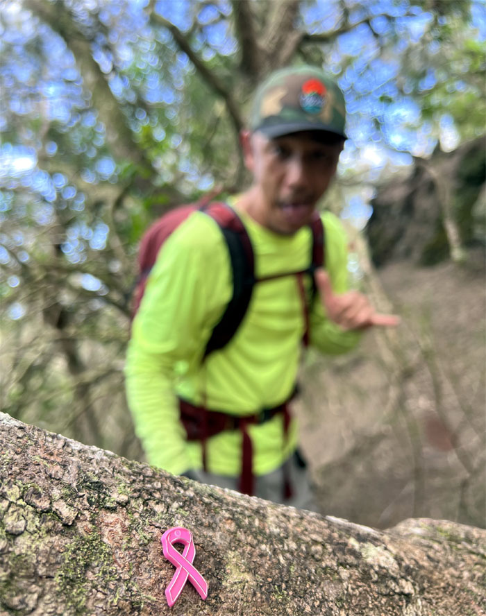
Following the pink ribbon.
Contouring on the Windward side of the triangular pile of rocks.
Akira standing naturally high on top.
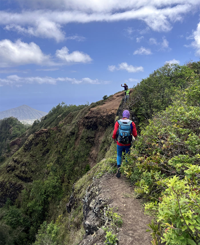
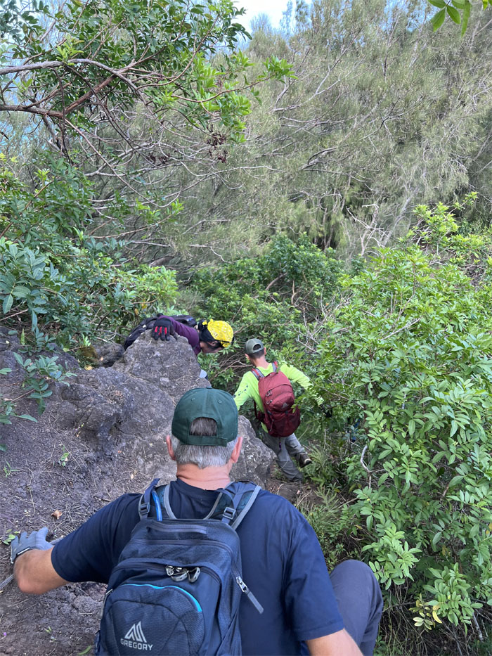
Climbing and contouring our way on the overgrown trail.
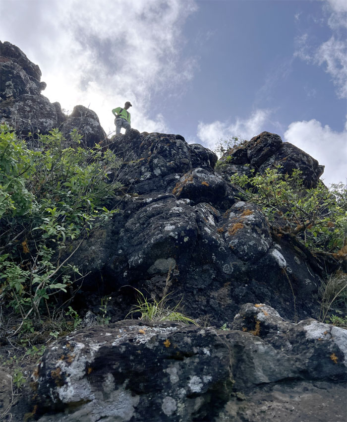
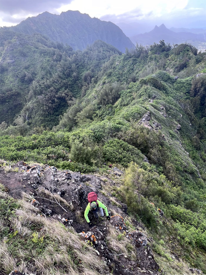
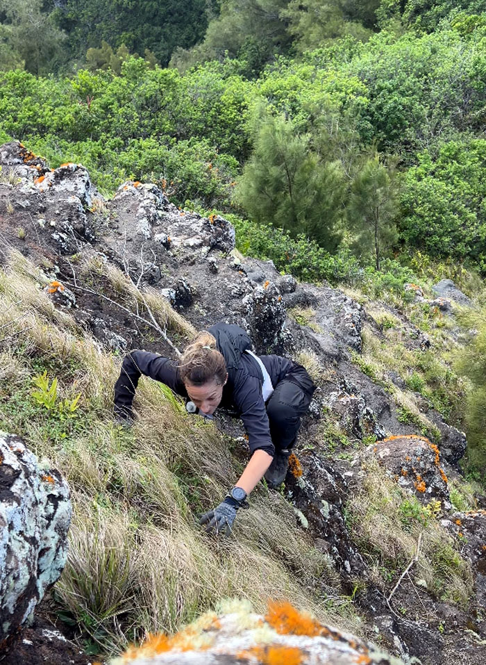
Akira climbing straight up the cliff.
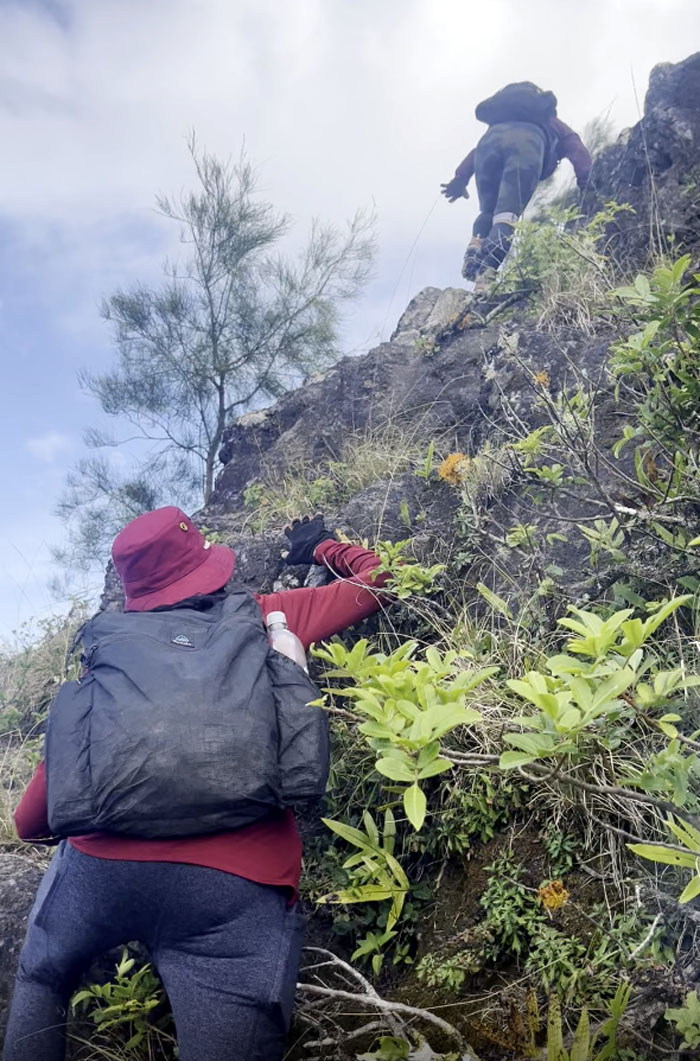
The girls taking the contour way up to the top.
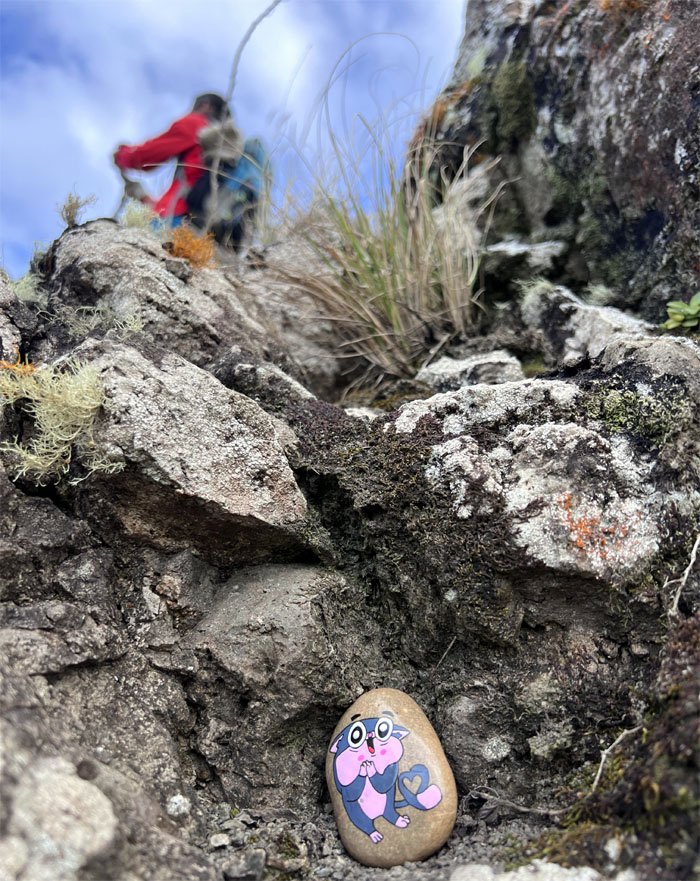
Relocating the painted rock to a safer place.
Look who came to join us. Climbing and complaining about the fat Alaskan that raided her stash of food and water at Wiliwilinui. Quite the multi-tasker.
Group photo with Amber who had started at the Pali Lookout earlier in the day and would finish at Makapu’u some thirteen hours and change later.
Meanwhile, we descended down the trail that Kamehameha Schools would like most hikers to forget. Unless you happen to belong to one of the two hiking clubs granted intermittent access to the trail.
Splitting off the off-limits trail and going down the “new” trail that dropped us down into Hahaione Valley.
Somebody was done hiking and ready to jump into Ferlino’s truck and call it a day.
Our breezy stroll through the mountains covered 7.4 miles with a fun group. Post hike meal at Mama Pho. Somebody wanted to pick from 31 flavors of ice cream and got the nickname “Pochari.”
Photos taken by Aida Gordon, Akira Suzuki, Ferlino Carinio, Roger Schiffman, Tessa Bugay, and yours truly. Not necessarily in order.
Note: I have been made aware that some hikers have been using my blog as a hiking guide and getting lost on the trails. Please note that this blog was made to document the hike for the crew(s) that did it. That is why some of my comments will seem to have no relevance or meaning to anybody outside of the crew(s) that hiked that trail. My blog was never meant as a hiking guide, so please do not treat it as such. If you find inspiration and entertainment from these hikes, that is more than enough. If you plan on replicating these hikes, do so in the knowledge that you should do your own research accordingly as trail conditions, access, legalities and so forth are constantly in flux. What was current today is most likely yesterdays news. Please be prepared to accept any risks and responsibilities on your own as you should know your own limitations, experience and abilities before you even set foot on a trail, as even the “simplest” or “easiest” of trails can present potential pitfalls for even the most “experienced” hikers. One should also always let somebody know of your hiking plans in case something doesn’t go as planned, better safe than sorry.


{ 0 comments… add one now }