
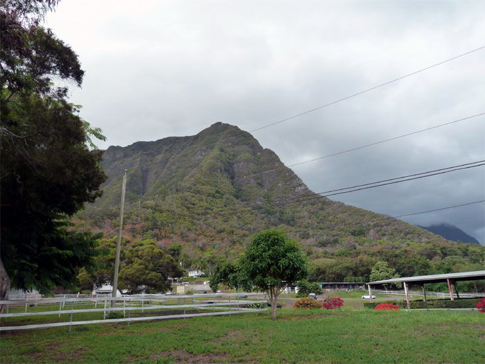
Glenn and I had the chance to tag along with Marcus and his extreme hiker crew consisting of Scott, Matt, Jay, Shelly, KiLei, and Aaron today to tackle Bear Claw Left Fork. We all met at the end of Kalaau Place in Kuliouou Valley and piled into Scott’s truck, where we drove to Waimanalo and parked off of Waikupahana Street by a ranch, with the manager’s permission. Our group of nine hikers pushed off around 8:40am as we made our way past two gates and a water tank.

Cardio Hill
The trailhead was surprisingly well ribbonned for a supposedly unsanctioned trail. Right off the bat, we were steadily pushing ourselves up the hill, I was already breaking a sweat this early in the hike. Good morning Bear Claw!

Rockface #1
We came upon the first rockface that has two metal spikes pounded into the rocks and ropes. Under Marcus’s guidance, he instructed us to use the bottom spike as a foothold and the top spike as a handhold and work our way up to the top, where Scott and Matt were acting as spotters.

Rockface #2
The second rockface can either be climbed straight up if one’s climbing skills are solid or contoured to the left where there are some blue webbing that made it a little easier to get up.

Formosa Koa Trees
This tangled thicket of koa trees that we had to climb under, over and to the sides would stay with us until we got to the junction where the two ridges or forks meet.

Left meets Right
Passing the junction where the left fork meets the right fork and continues up a single ridge to the summit. Marcus informed me the right fork is a tad harder and steeper than the left fork coming up. I was glad to finally get out on the open ridge as the tradewinds started to cool us down, as it was hot and humid coming up the left fork.

Mushroom Rock
As we made our way along the ridge, there was a mushroom shaped rock that we had to climb over. I never get tired of seeing all these different types of rock formations on the trails.

Dike section
Glenn and Marcus coming over a narrow dike section.

Some climbing involved
Jay climbing up the ridge.

Proceed with caution
Scott and KiLei look at the spot where Leslie Merrell fell back in March. The area above their heads is where the boulder that he was holding onto came loose, resulting in his tragic fall. A somber reminder that rocks on these trails are very brittle and loose.

HFD Helicopter
We soon noticed that a HFD yellow helicopter was making repeated passes over our heads, pilot probably muttering “darn hikers on unsanctioned trails.”

You can contour to the left...
There was this somewhat daunting rock formation on the ridge that you can either contour to the left, or if you want a little challenge…

...or go over the top
…you can do what Matt did, and just climb over the rock to regain the ridge.

Bear Claw Ridge
This hike had a little bit of everything to keep it interesting and challenging – nice cardio climb, narrow dikes and ridges, some rock climbing and most of all, spectacular views that money can’t buy.

Final dirt push to the summit
As we were scrambling up the last 30-50 feet of dirt and grass before the summit, the HFD helicopter came back and started hovering 10 feet above Scott who was in the lead. Talk about a Kodak moment! The helicopter was so close, I could almost see the color of the pilot’s eyes, he stayed for about 10-20 seconds before peeling off.

Made it to the top
We made the summit of Bear Claw at around 11:30am. It took us about 3 hours to hike less than a mile going up, but we gained over 2,000 feet in elevation.

Group photo at the summit
Everybody making the left claw pose for the camera.

Panoramic view from the top of Bear Claw
Click here for the larger image.

Headed towards Puu O Kona
After a short break, the group with the exception of Aaron who went down the Kuliouou trail, decided to continue on towards Puu O Kona.

Windward Panoramic view from Puu O Kona
Click here for the larger image of the Windward side as seen from the top of Puu O Kona.

Leeward Panoramic View from Puu O Kona
Click here for the larger image of the town side as seen from the top of Puu O Kona.

Headed down into Kuliouou Valley
It was a brisk descent going down into Kuliouou Valley as we got back to our cars around 1:30pm. It was a great experience hiking with Marcus’s crew as it showed that I needed to work a little more on my cardio and climbing skills so that I can keep up on future hikes with his crew.
{ 4 comments… read them below or add one }
What a hike! Had to check your blog out before I decided to join Marcus folks on this hike in couple weeks. Think I?ll give it a try.
Aloha Dale,
Yup, that was my first hike with Marcus. Have fun and be safe!
Mahalo
Hi Kenji..thanks for your info….I’m climbing left fork this Sun…I heard left fork is easier than right fork. I need to work on my cardio too.
Aloha Ani,
You are welcome. That seems to be the general consensus, that right is a tad harder than left. Have fun and stay safe this weekend.
Mahalo